On the backside of the Santa Catalina Mountains in Arizona sits a group of peaks which had been on my radar for some time. I had mulled over going in to climb them for a few years but had never gotten around to it. A Saturday in late April afforded a good opportunity, so away I went. I arose at 4:00 a.m. and was on the road within half an hour. While driving along a major thoroughfare in Tucson, I spaced out and blew right through a red light. A police car happened to be sitting nearby and gave hot pursuit. I convinced the lady officer that I had not been drinking and apologized profusely. Maybe it was my story of going climbing and being a bit distracted, but she let me go with a verbal warning. Yikes!
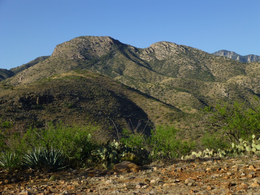
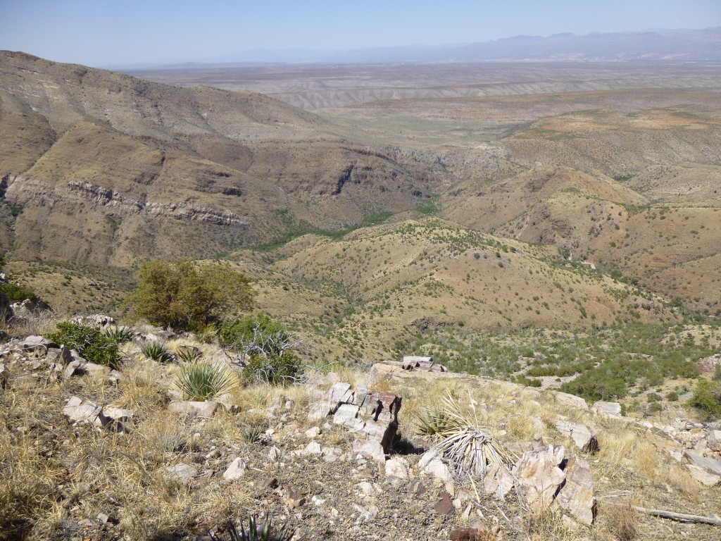
By the time I had stopped for gas, then driven through the towns of Oracle and San Manuel, the sun had risen. Many more miles of dirt roads took me to the end of the line at the west end of Davis Mesa at 4,270 feet elevation. It was 7:30. Checking my map, I got oriented and decided which one of the many visible peaks was the one I wanted to do first – Evans Mountain. Dang, it looked far away!
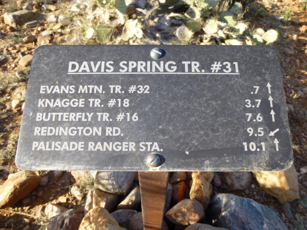
I have to confess, I was becoming less enthusiastic already. Putting four quarts of drink into my pack, I set out. Much to my surprise, this sign greeted me a minute later.
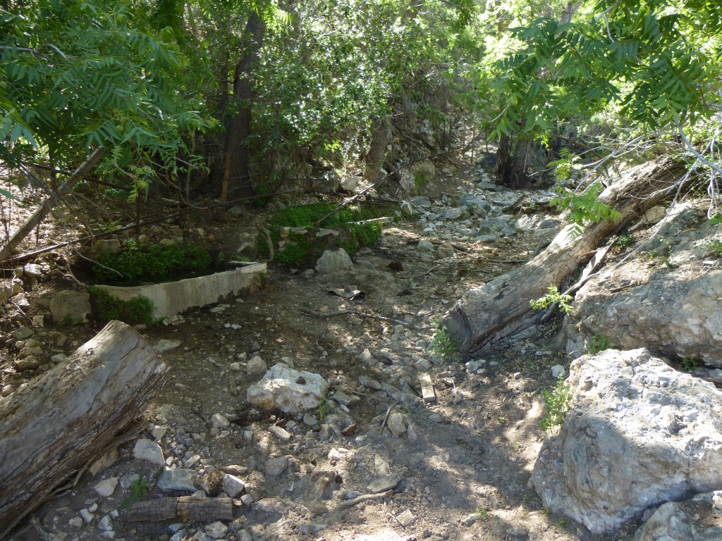
Maybe I should have researched this better – I had no idea there was a trail. That had to be a good thing, right? Sure enough, a well-defined trail started right there at the sign. It cut across a hillside and dropped quickly, taking me down to Davis spring. In a shady glen, water was flowing into an open concrete tank.
From there, a pipe carried water farther downhill to a cattle trough at a corral. Once at the corral, I found another sign indicating that the trail continued up Edgar Canyon. I was feeling better about this by the minute. How great would that be, a trail all the way to the mountain! My copy of the USGS topo map didn’t show any trail, but the map on Lists of John did, one that went miles up Edgar Canyon and then made a huge loop to the east to arrive near the summit of Evans.
Setting out again, the trail followed the north side of the canyon, but, much to my chagrin, was climbing and falling, over and over again, wasting a huge amount of energy. Enough of that, I soon decided, and instead dropped down to the canyon floor. I have little patience with trails that waste time and energy. Water was running in the bottom – a rare treat in the desert.
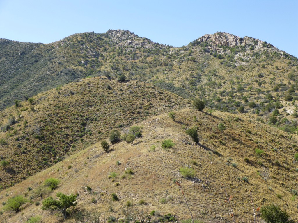
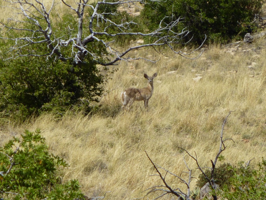
What I decided to do was to follow my original plan – head south up a long ridge directly to the summit. It was a steep climb out of the canyon through the brush, but things settled down a bit a few hundred feet later.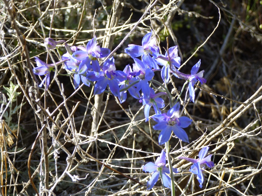 I gained a bump at about 4,580 feet, then headed downhill from there and ran into a group of five deer. They quickly scampered away – I’m sure they had seen me long before I spotted them. I topped out on another bump at 4,865 feet, then down to the next saddle. Almost two hours had passed.
The going was pretty good, not too brushy, and I was feeling pretty good about my progress.
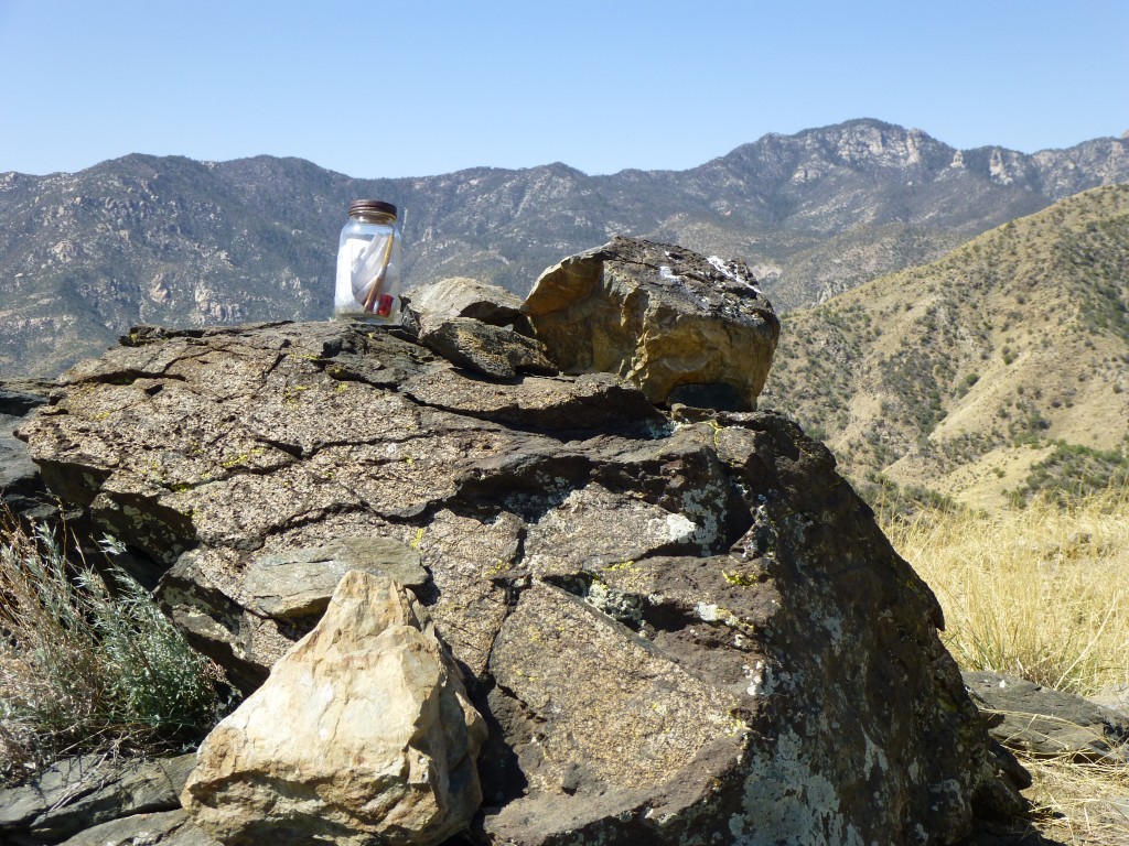
Over yet another bump, then up the final north slope of the peak, a push of seven hundred vertical feet. Some nice outcrop near the top added a bit of spice. When I walked on to the summit of Evans Mountain, it was 10:15 a.m. Almost three hours to get here. I had heard that this was a popular objective, and, sure enough, a register awaited me. Signing in, I took off my boots and had a snack.
Once I had rested a bit, I felt pretty good, but it was decision time. Although Evans Mountain, at 5,585 feet, was a named peak, it didn’t have enough relief to qualify as a true summit. It just happened to be on the way to other stuff. There were two nearby un-named peaks which did have enough prominence to be real summits – they were the ones I really wanted. The question was, did I still have enough oomph to do them? I had come all this way, and didn’t really want to go home without them. Oh, what the heck, I’m a glutton for punishment. If I kept following the ridge, I could go over to Peak 6060 and then hit Peak 5681 on the way back to my truck.
It was 10:30 by the time I left Evans and dropped down its southwest ridge, crossing over two more bumps and arriving at a saddle at 5,300 feet, where I saw another deer.
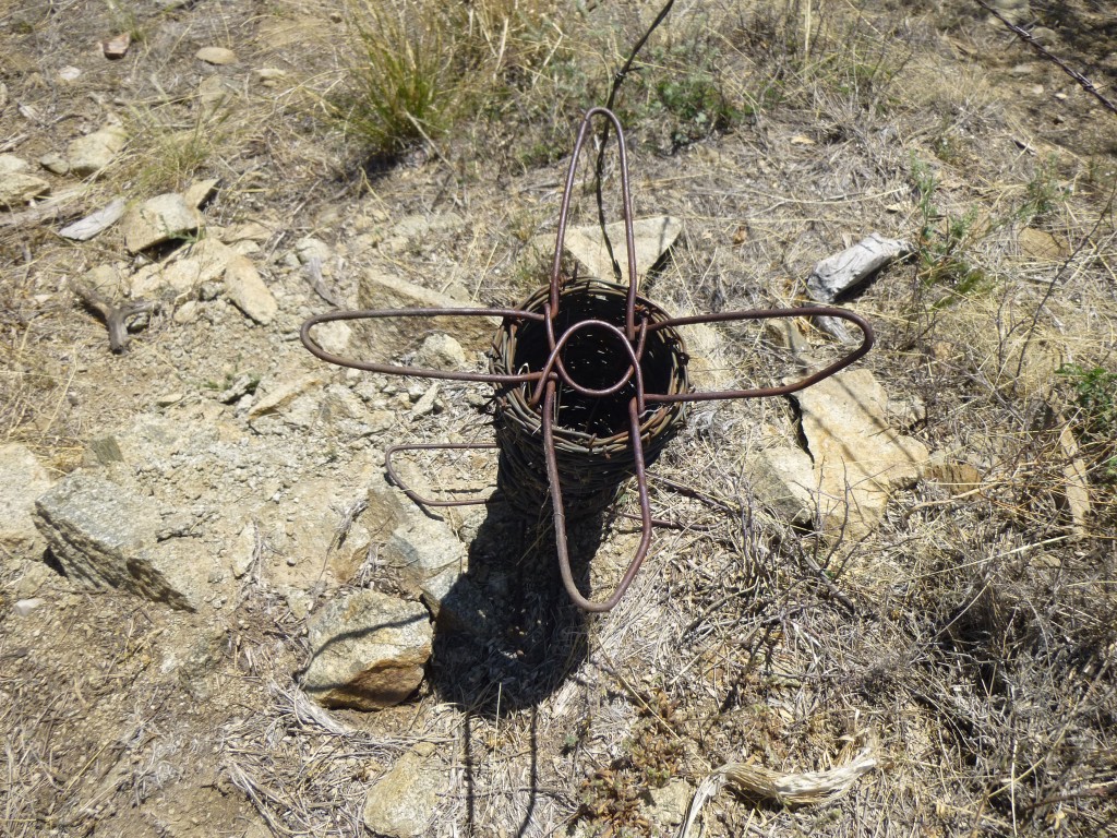
This was a peaceful spot, the kind of place you want to lie under a shady tree and take a nap. I saw this interesting thing by the fence at the saddle. It seemed like something to hold a roll of barbed wire and dispense it as needed to construct a fence. It must have a name but I have no clue what it might be called.
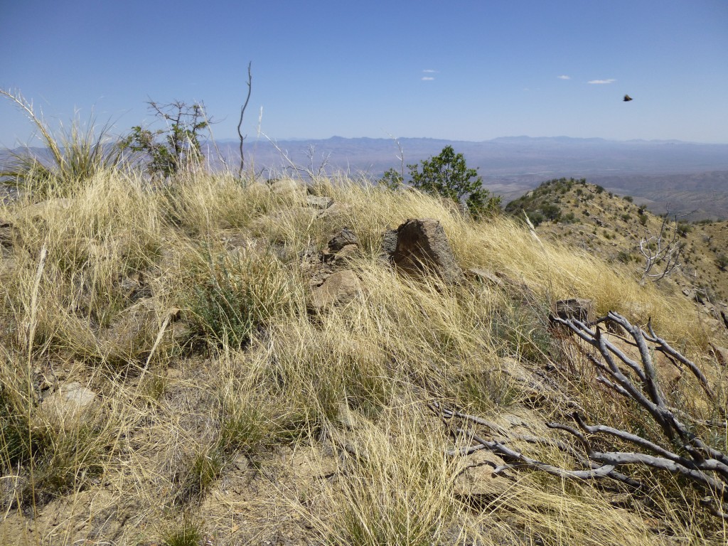
There were about 800 feet to climb to reach the next summit, and the first part was really steep. There was one false summit to cross, then a drop down into a saddle and a final push to the summit of Peak 6060. I was glad to have reached it, and plopped myself down to take a load off. A small cairn revealed a register, a small white plastic bottle which was badly damaged. The paper inside it had disintegrated and none of the writing could be deciphered, but I know for a fact that at least two others had been there before me.
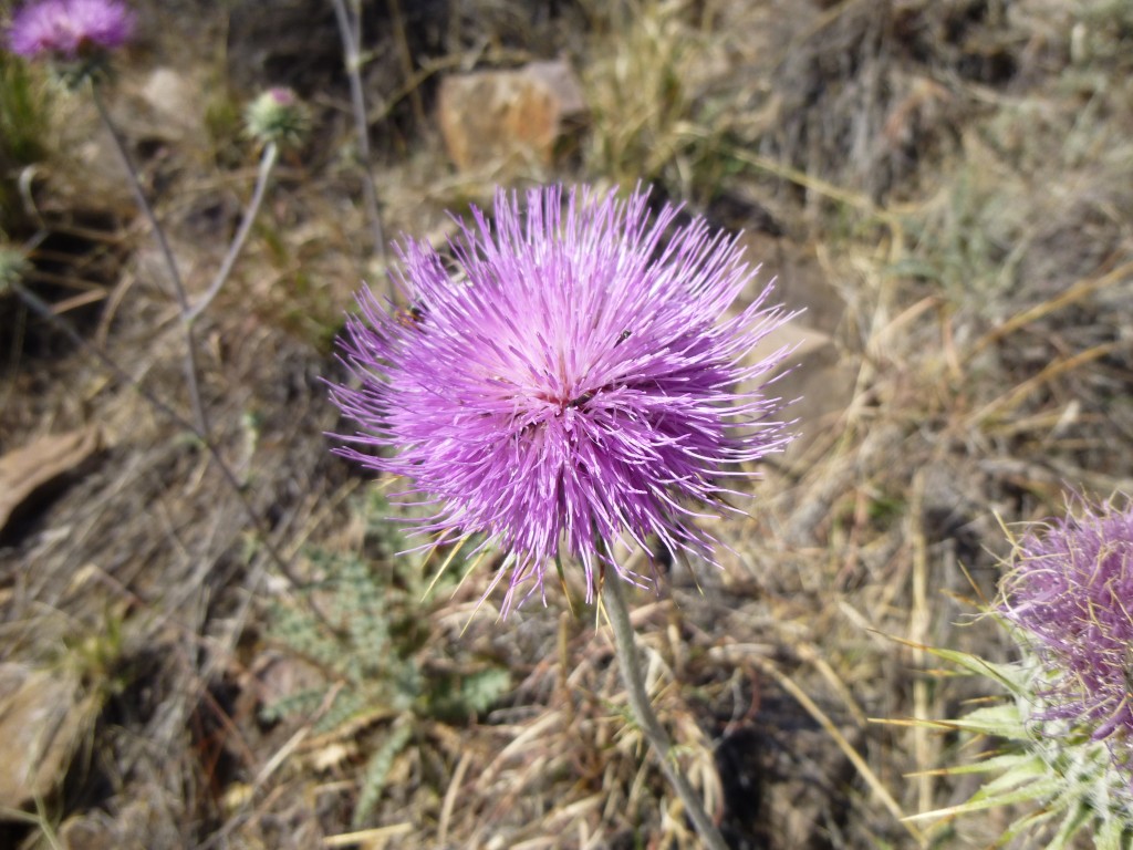
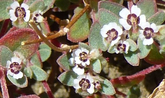
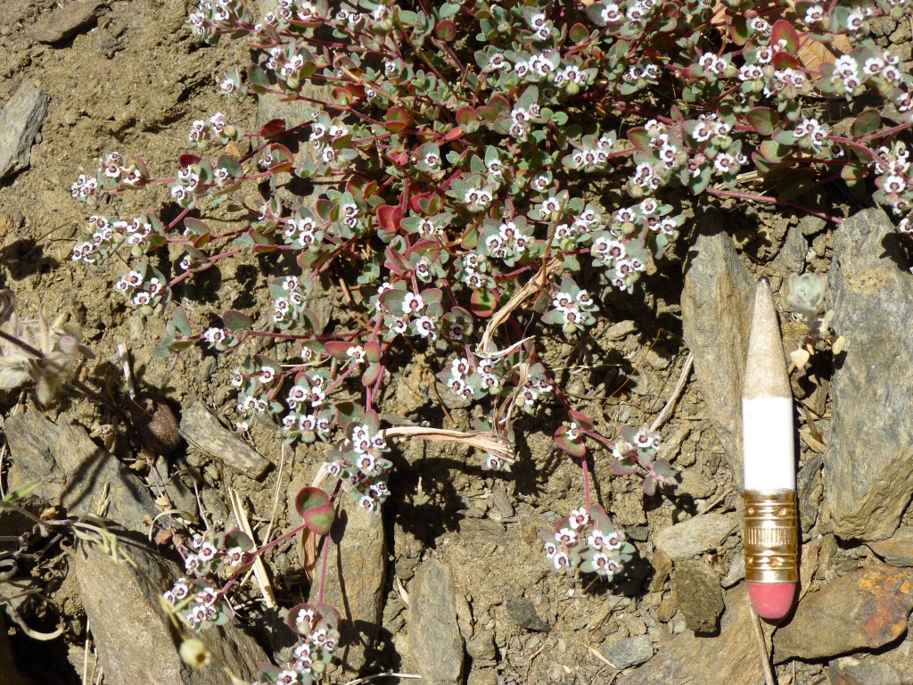
Spending less than ten minutes on top, I started down to the saddle, then did a descending traverse through thick brush over to the north ridge. Once there, it was pretty straightforward to drop down to the 5,300-foot level at another saddle. As I started up the slope of my next peak, something on the ground caught my eye. It was a carpet of small flowers, easy to miss because of their unusual size. Here is what they looked like.
Now look at the next picture. I panned back out to show you the size of these, with an ordinary pencil for scale. Pretty cool, huh. No idea what they are, but it took a lot of them carpeting the ground to catch my eye.
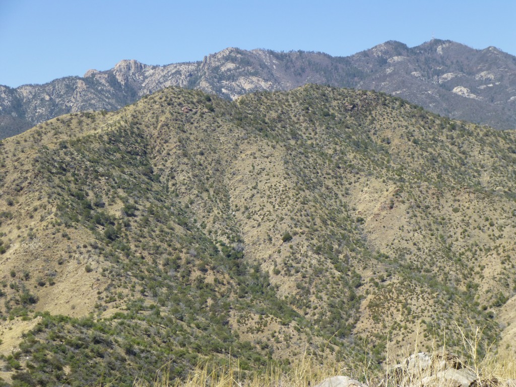
By the time I reached the top of my third summit, Peak 5681, I was feeling it. Signing in to the register, I had a snack, then dropped off the north side, only to run into a bunch of small cliffs. Carefully working my way down through them (this is when most accidents happen, when tired and descending), I had a good view of the almost-2,000-foot line of descent in front of me.
Once below the cliffs, the slope mellowed out and I made better time. When I had a thousand of those feet under my belt, two more deer scampered across my path. They surely did seem to like the area.
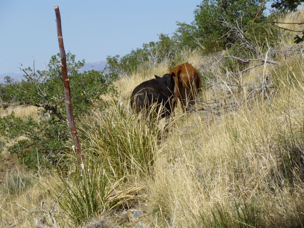
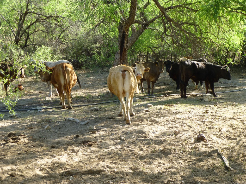
I had been wondering exactly which path to take from this point. It was now 2:20 p.m. and I was taking my sweet time, when I saw movement ahead. Lo and behold, it was a group of five cows. They watched me for a moment, then turned tail and started away at a walk. As luck would have it, they headed the same direction I had been going. It was the work of only moments to realize that they knew this mountain a lot better than I, so I decided to follow them. Sure enough, they seemed to find a well-worn path through the brush, and I was right behind them.
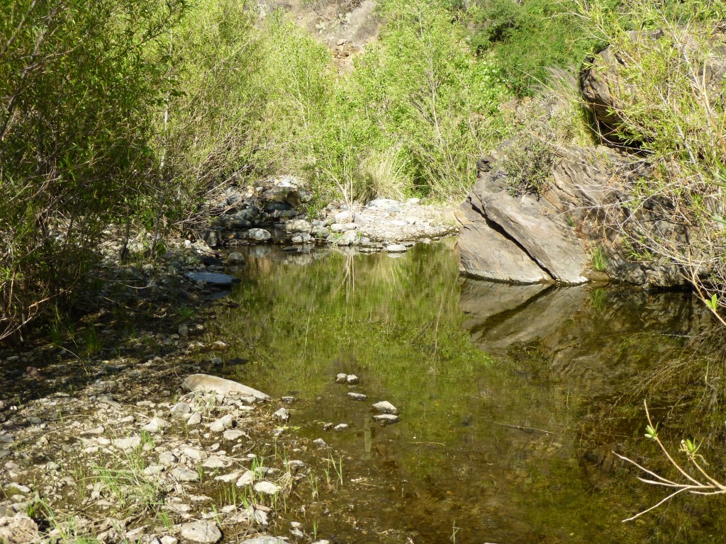
It really surprised me how quickly they could walk – it was all I could do to keep up with them. They forced me to move a lot more quickly than I otherwise would have.Those beasts knew every inch of the terrain, and before I knew it, we had all dropped 700 vertical feet to the canyon bottom. The minute we got there, the cows all stopped for a long drink in a pond and pretty much ignored me. And guess what – there was the trail, the same one I had started on so many hours earlier.
It was a pleasant walk, following it down the canyon bottom while listening to the running water. In less than a mile, I had reached the corral – the same cows were there as this morning.
Then began the climb up the steep hill, past the spring and finally to my waiting truck. Just in time, as I had drunk my last drop. It had been quite a day. This little adventure, including all the extra bits that the map didn’t show, really added up: 8.9 miles, 4,830 vertical feet, in just over 8 hours. I’m lucky it hadn’t been a hot day – it only hit 95 degrees.
Please visit our Facebook page at https://www.facebook.com/pages/Desert-Mountaineer/192730747542690

