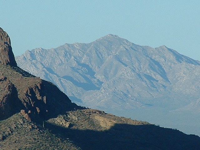
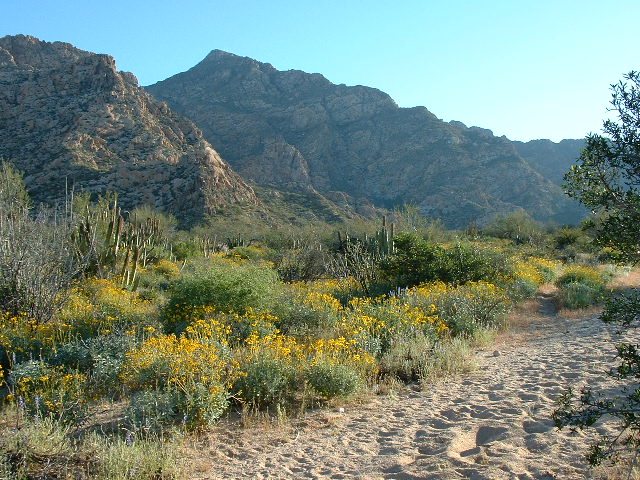
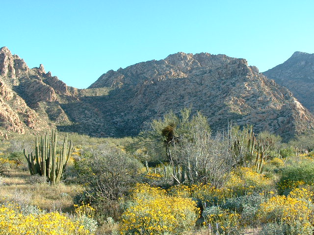
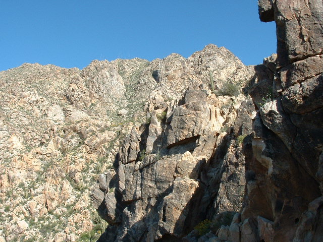
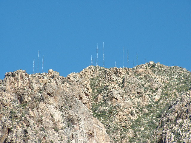
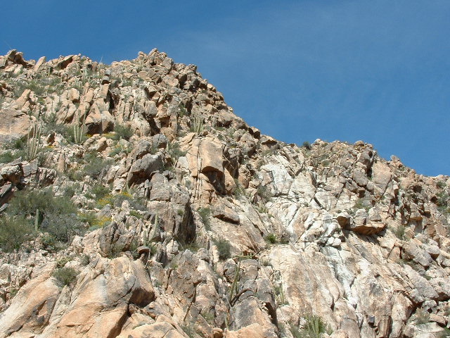
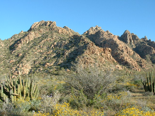
We had been staring at it for years, lurking over the border, so near in geographical miles yet so far away logistically. Cerro Cubabi, the high point of the Sierra Cubabi, sat just south of the border only 14 miles from the desperate town of Sonoyta, Sonora. It rose over 2,600 vertical feet from the surrounding desert and was plainly visible from quite a wide swath of Arizona to the north. We finally decided that there had been enough talk, it was time for action.
Andy Martin and I left Tucson at oh-dark-thirty on the morning of March 13, 2005 and drove a hundred miles across the desert to the little town of Why (it’s not a typo, it really is called Why, but don’t ask me why). We then headed south to the border crossing at Lukeville, Arizona and entered Mexico at 6:00 AM when it opened. Sonoyta is another one of those border towns with no redeeming value. Smugglers gather there, readying their cargoes of humans and drugs to spirit into the US under cover of darkness. It is a dangerous area – a US Border Patrol agent by the name of Kris Eggle was murdered nearby in cold blood by smugglers a few years ago. The very beautiful Organ Pipe Cactus National Monument just north of the border has the sad distinction of being called “the most dangerous park in America”.
We had bought Mexican insurance to cover my truck during the climb, even though it would only be for one day. It’s insanity to even think of driving into Mexico without it. A fellow I know made that mistake. One night, he was driving through a small village in central Mexico and accidentally struck an elderly woman pedestrian, killing her instantly. The local police arrived just in time to save him from an angry group of villagers who had gathered. He had no insurance, and was thrown into a Mexican jail. Months in the rat-infested hoosegow almost did him in. His family in the US spent tens of thousands of dollars in Mexican lawyers fees and bribes to police and judges to spring him. He lost 50 pounds in the process. The Mexican auto insurance covers liability, and that’s all that counts.
We wound our way through town, then on to Mexican highway 2, and drove south for about 14 miles down the west side of the Sierra Cubabi. There was a spot we had picked out on the map, a place that, if we could drive up a side road there, should put us in a good position to start the climb. However, when we got there, we found a locked gate blocking our way. We were forced to park hard by the highway, which really sucked because, especially in this area, we didn’t want to leave the truck in plain view while we were gone all day. Also, because the gate barred our way, we had to walk extra miles that we might have otherwise driven. Oh well, there was nothing else we could have done under the circumstances. Looking for an alternative starting point would have eaten up valuable daylight, and it was late enough as it was. We put the club on the steering wheel, readied our packs, and set out on foot. Our starting point was around 1,700 feet elevation. The time was 7:00 AM.
The day felt warm, unseasonably warm for this time of year. We plodded east up an old road, and I remember thinking that if I felt so warm this early in the day, I was gonna feel a whole lot hotter by the time this day was done.
Two miles passed, and the road fizzled out. Andy was tracking our progress on the 1:50,000 scale Mexican topo map and he decided that we should leave this nice wide valley at about 2,100 feet elevation and start climbing uphill in a northeasterly direction towards the summit.
Mexican topo maps leave a lot to be desired. Their 1:50,000 scale doesn’t allow much room to show detail, and a 20-meter contour interval (which is about 65 feet) can omit a lot of cliffs and tricky bits. However, they’re still better than the Canadian maps I grew up with, which had the same 1:50,000 scale and an even-more-atrocious 100-foot contour interval (honestly, I don’t know how we ever climbed with those things!). Andy is really good at interpreting Mexican topo maps and has much more patience than I when it comes to using them, so he was reading the map and deciding which way to go.
We started up a huge canyon, then worked our way on to a ridge on the right. It was incredibly brushy, frustratingly so, and at one point we split up. The path I chose was worse, and I rejoined Andy higher up after having wasted time and elevation. After that, I stayed close to him – he did a great job untangling the web of canyons and ridges that we had to negotiate, using his spidey-sense to glean info from the lousy map. This was turning out to be a pretty big mountain. We had to plow our way up through thorny brush, which was thick and offered a lot of resistance. Clouds of pollen and dust would full the air as we pushed through the thick vegetation – I remember sneezing my brains out, adding to the misery.
It seemed endless. We could see a long way ahead, but never had a really clear idea of how far it was to the summit. At about 3,600 feet elevation, we came upon a shallow cave where we found the skeletons of two bighorn sheep. It was curious why they were in the cave – had they gone in there to die, or had someone dragged them in there? It was an interesting diversion from the endless treadmill of the climb. We took a break in the shade the cave provided, then carried on.
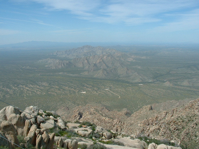
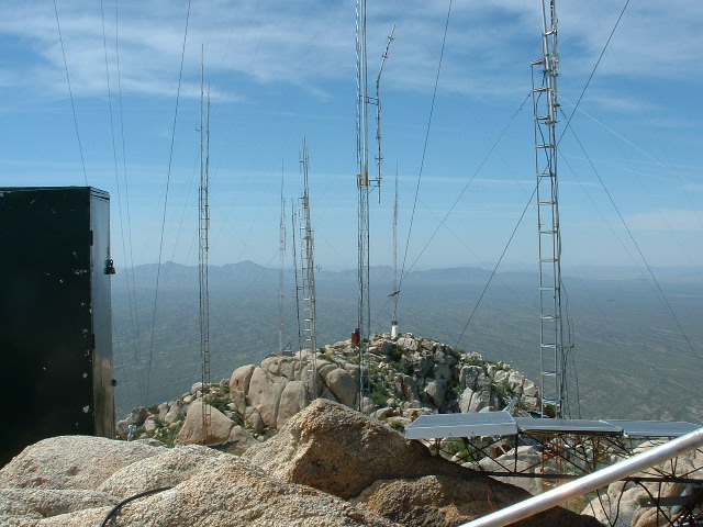
Finally, we spotted a large cluster of radio towers – a common feature on big Mexican peaks – so we were pretty sure the summit was close at hand. Several hundred vertical feet more and we were there. About time, too – we were beat! What a great view, though. It was a cloudless blue sky, and we could see out over a large swath of northern Sonora and southern Arizona.
And it felt hot. I don’t think we had been drinking enough, either of us. We were feeling kind of light-headed and acting a little goofy.
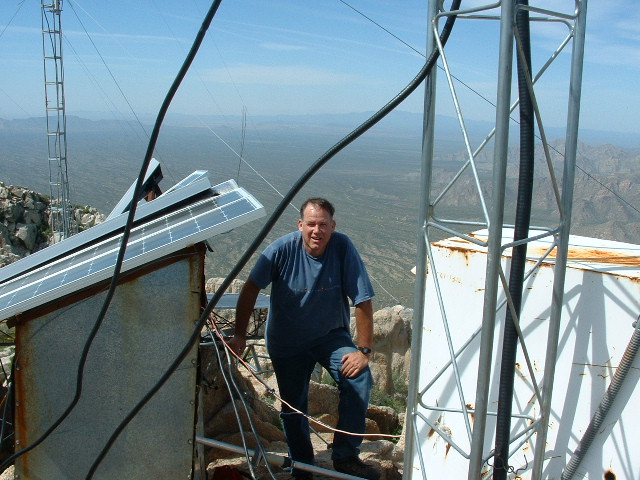
There were 16 radio towers on the summit, and bits and pieces of others laying on the ground. Some had solar panels, and others had car batteries attached to them. Andy noticed that all of the batteries had the brand name “Gonher” written on them in bold white letters. He said something to the effect that “Hey Doug, can you imagine going into a store in Mexico to buy a car battery, and saying ‘Hey, give me one of those Gonher batteries. Hmmm, on second thought, better make it two, it’s a Gonher.'” Well, we laughed like a couple of schoolboys over the joke.
Oh yes, I almost forgot – when we were looking around on the summit, we noticed a really good trail coming in from the north. What a shock! Almost certainly, it came all the way up from the valley floor and would have been used as a trail for mules to bring in supplies, such as more Gonhers to keep the towers operating. How tempting it was to descend that way, but the only problem was that it would have deposited us on the opposite side of the mountain from where my truck was, and it would have been a huge hassle getting all the way around to where we were parked. After poking around in the mess of towers for a while, we had something to eat and drink, then talked about the descent.
Andy felt that the safest thing to do was to go back the way we had come in. I, on the other hand, said that I didn’t want to descend all the way back down through that brush, that just about any other way seemed more appealing. “So what’s your bright idea?”, Andy wanted to know. I said that maybe we could just drop straight south off the summit to the valley floor below. Andy rightfully pointed out that, on our trip in, he had noticed a lot of cliff bands on that side of the mountain and they surely could cause us a lot of problems if we tried to go down that way. The drop of well over 2,000 vertical feet through unknown ground could hold any number of surprises. I agreed, but thought it could work – I’m not sure why, because if it had been that do-able in the first place, we probably would have climbed up that way. Andy said okay, but he would hold me personally responsible if we got cliffed out and had to climb back up again and go around!
We got ready and started down. It was definitely steeper than the way we had come up, so we lost elevation quickly. Maybe a thousand feet below the summit, we reached some steep cliffs and started to pick our way through them.
Jokes were flying back and forth, a sure sign that we were getting dehydrated and goofier than ever. I said that once we reached the flat ground of the valley bottom, we would have arrived at The Land of Milk and Honey. Andy said that it would seem like the Promised Land. And we both agreed that it would be the Land of Goshen. We made it, just barely, through the cliffs, and, after some easier ground, stumbled out of the brush on to the road we had walked in on. Hallelujah!
It was all over but the shouting. Nothing to do now but plod along the road back to the vehicle, which we did. Eight hours had passed by the time it was over. The day turned out to be unseasonably hot, and we hadn’t brought enough to drink. Fortunately, we had plenty more at the truck and rehydrated quickly. With all of the extra ups and downs, the climb was 3,270 vertical feet. We soon left, made our way back up to the border and by early evening were parked at a great spot in the Ajo Range for another climb there. But that’s another story.
Please visit our Facebook page at https://www.facebook.com/pages/Desert-Mountaineer/192730747542690

