It was a perfect Arizona winter’s day, with predicted temps on the desert floor of around 75 degrees. Andy Martin and I figured it was high time for a return trip to the Dragoon Mountains, so we met early and drove east into the new dawn. Through the towns of Benson and Tombstone we went, with the inhabitants all snug in their beds, until we turned off the pavement and on to Middlemarch Road. Although it is a dirt road, it is a highway among dirt roads, and quickly took us to our turnoff by Clifford wash.
We then followed Forest Service Road 4396 into the Coronado National Forest. Even at 5,400 feet elevation, you couldn’t really call it a forest – it was open country with a few scattered scruffy trees. Heading south, we had to drop down into and then out of several deep gullies, all of which went well. There were two gates blocking our path, but fortunately neither was locked. Several miles later, we came to a junction at 5,700 feet, which was labelled Road 4397 – this was the one we were looking for, the one that headed northeast up Henry Canyon. It was a complete unknown – what condition would it be in, would it even be driveable? We kept our fingers crossed and started up the canyon in four-wheel-drive. It was only a mile, but a mile we didn’t want to walk if we could help it, as we’d have to walk it both ways, and, following on the heels of the day we had planned, that would be an unpleasant prospect.
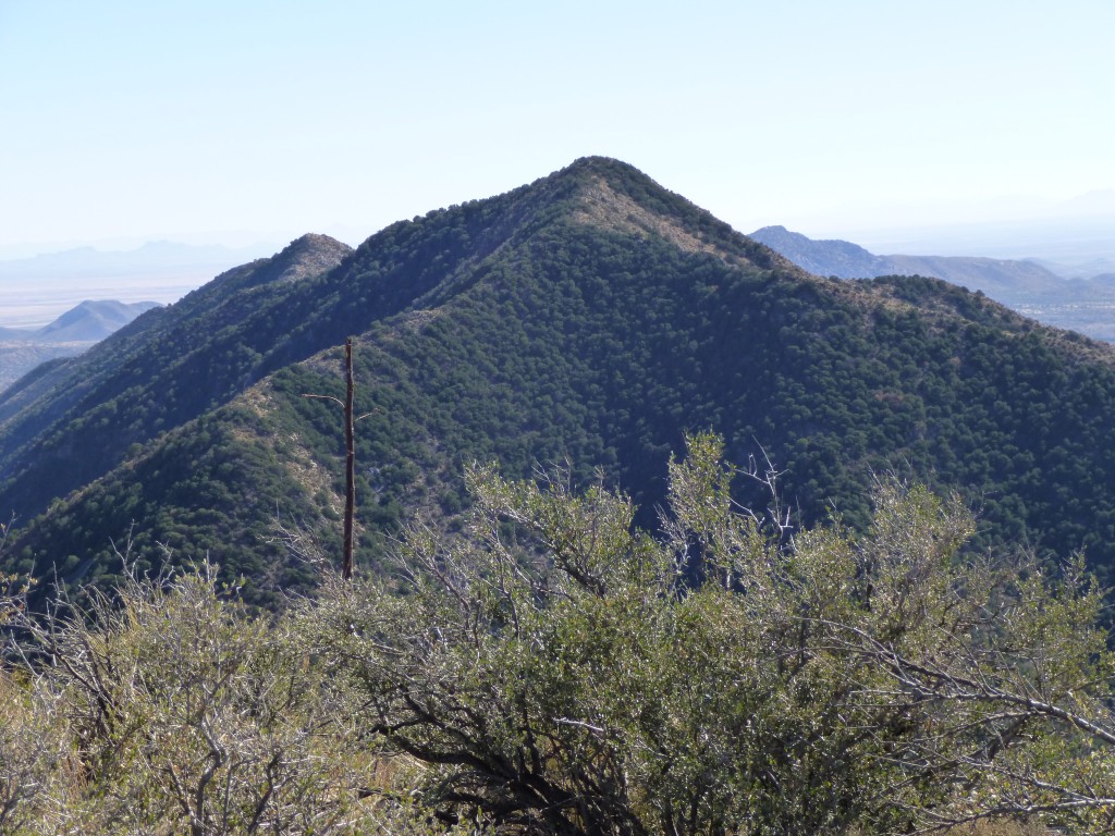
It was our lucky day – the road was in amazingly good shape, and we quickly drove right to its end in a forest clearing at 6,160 feet elevation. The morning was shady and cool when we began, which suited us just fine. Our first objective was Peak 7155 – Andy was hot to trot for this one, as it had almost 1,300 feet of prominence. There was a faint track up through the thick bush which we followed for a bit, but it soon petered out. Nothing for it then but to bushwhack up the steep slope, which we did until finally emerging on to the summit ridge at about 6,800 feet. Now, at least, we had good views.
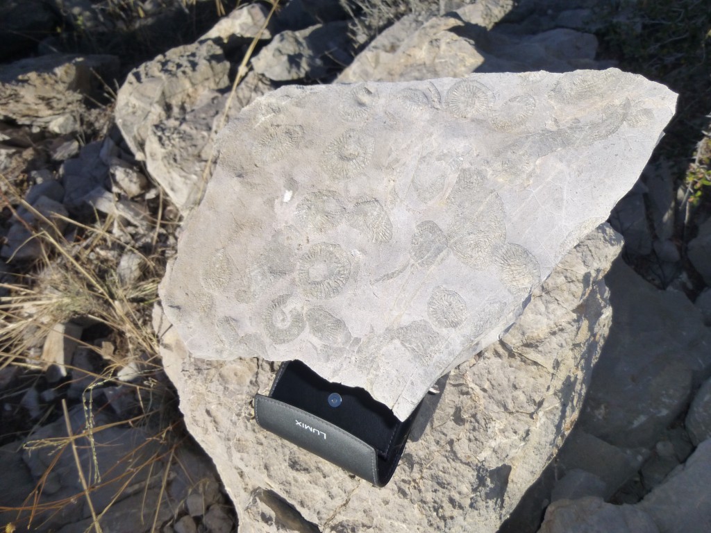
The ridge dragged on for a good half-mile, alternating thick brush and rock, but we made it to the summit about an hour after leaving the truck. A cairn and summit register awaited – six parties had signed in before us, so we were in pretty rarified company. We didn’t spend much time on top, as we still had a lot of ground to cover. Oh yes, almost forgot – on the summit, we found pieces of the local limestone which contained some nice marine fossils. Each round shell was about the size of a half-dollar.
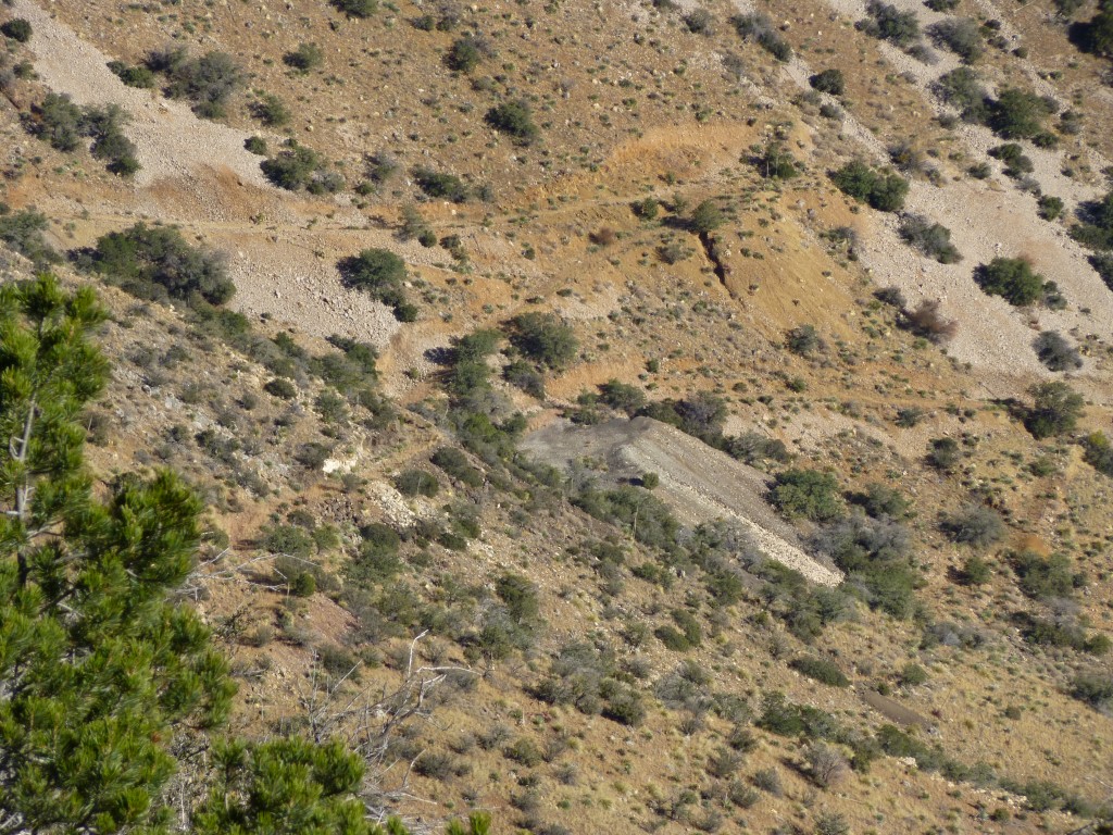
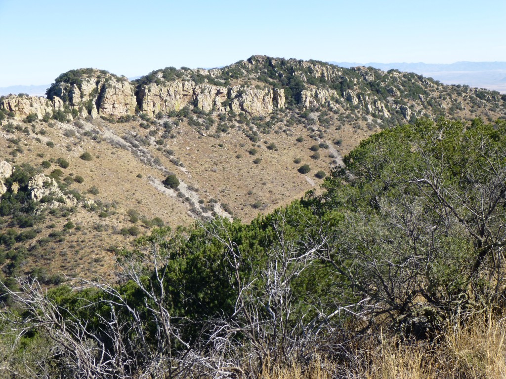
Retracing our steps, we headed north along the ridge, then dropped down to the northeast and to a saddle at 6,500 feet. On the way down, we had a view of the old Black Diamond Mine, or what was left of it.
The Black Diamond Mine was discovered in 1880. Eventually there was a settlement of about 100 people and a post office was established on February 12, 1902, and a stage station was founded. Named for a mine carrying a black mineral which the miners called “Black Diamond”, it was a silver and copper mine. The post office closed in 1908. There are still ruins at this ghost town – foundations, walls, tramway tower, mine and tailings. However, from our vantage point, all we could see were some of the tailings. Below are excerpts from the Tombstone Prospector about the “goings on” at Black Diamond.
May 5, 1902 – There is a great deal of activity going on in the new mining town of Black Diamond. The smelter is being built, and at this writing has made considerable headway, with ore enough on the dump, when finished, to keep it busy for three months. The hotel is nearing completion and is expected to be ready for business on or about June 3rd. This hostelry will be replete with the most modern conveniences for guests. It will contain twenty sleeping rooms, with office, dining room, store room, bathroom and a large and airy kitchen. It will be furnished throughout with the best the market affords and when finished Mrs. J.H. Bose will take charge. The company store is very nicely fitted throughout with office in the store, storage rooms, wine room, etc. Mr. G.D. Marsh is manager and J.G. Hearne, treasury manager. The store is not yet fully stocked and consignments of dry goods, groceries and hardware are expected every day. The site selected for the townsite and smelter is well situated and very extensive. There is a telephone wire to the mines, a post office and two houses.
May 1902 – J.G. Hearne, vice president of the Black Diamond Mining Company and president of the Black Diamond Improvement Company, accompanied by his nephew, Mr. W.L. Hearne, of Pittsburg, PA., and Captain Thomas Pidwell, of Pearce, were Tombstone visitors today. The party were visitors on a brief business trip, returning to the mines this afternoon. Mr. J.G. Hearne, speaking of developments at the Black Diamond, says the big 200-ton smelter of the company is expected to be ready for operation by June 1st. About all of the machinery for the smelter, power, tramway, etc., is on the ground and being erected in place as fast as possible. At the mines the already large ore reserves have been augmented by recent discovery of another strike, which development is proving an important ore deposit, the extent of some showing it to be of considerable dimensions. Nearly 100 men are on the payroll and progress in all departments proving satisfactory to the management, the officials being highly pleased at the prospect of the Black Diamond becoming an early and steady bullion producer. The improvement company at the camp has built quite a number of residences and offices. The Black Diamond Hotel of sixteen rooms and offices is about completed, and it is expected will be open to the public in about two weeks.
Arizona is littered with the bones of hundreds of such towns and mining camps. Many of them flourished for a time, then faded as quickly as they had begun. Speculation was rife, fortunes were made and lost, and dreams were shattered (hmmm, sounds like the mining industry of today, doesn’t it?)
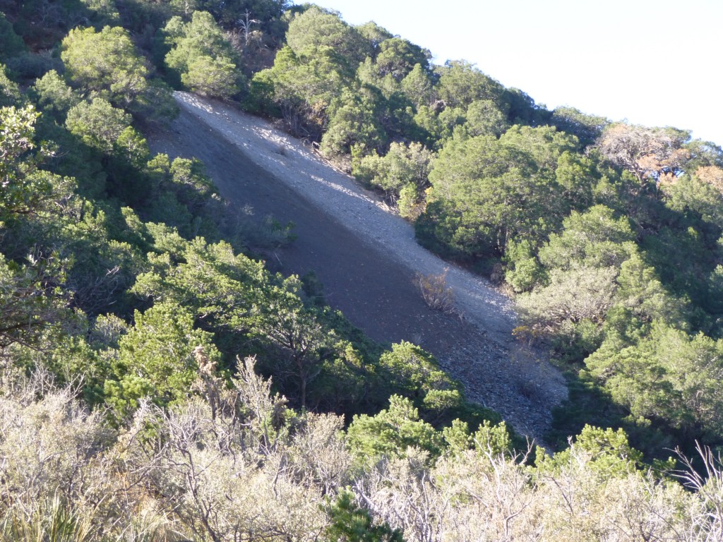
In any case, the day was perfect, and it felt surprisingly warm in the direct sun, considering the temperature couldn’t have been much over 55 degrees. When we started up towards our next summit, a few things caught our eye. The first was a lot of tailings on the peak we had just climbed, just below a mine shaft into the steep hillside – yet another remnant of bygone days.
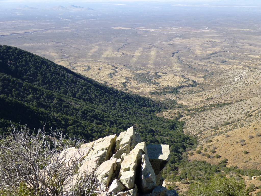
Andy pointed out something quite interesting – way out to the west of the mountain range, on the desert floor, were a series of odd stripes that were obviously man-made. He figured they were possibly made by a technique called bulldozer chaining, as a way to clear large swaths of land for ???? – perhaps to plant something, or to improve grazing – hard to say. These clearings were probably four miles away from us when this photo was taken, so that shows that they were very large.
Several hundred feet of climbing brought us to the summit ridge of Black Diamond Peak. There was some uncertainty as to which of the bumps was the high point, but the most likely candidate proved to be the right one, complete with a cairn and summit register, at 7,146 feet. Plenty of climbers had signed in before us. Our well-deserved lunch tasted great, as all food does on a mountaintop. We did our usual sign-in, then got ready to leave.
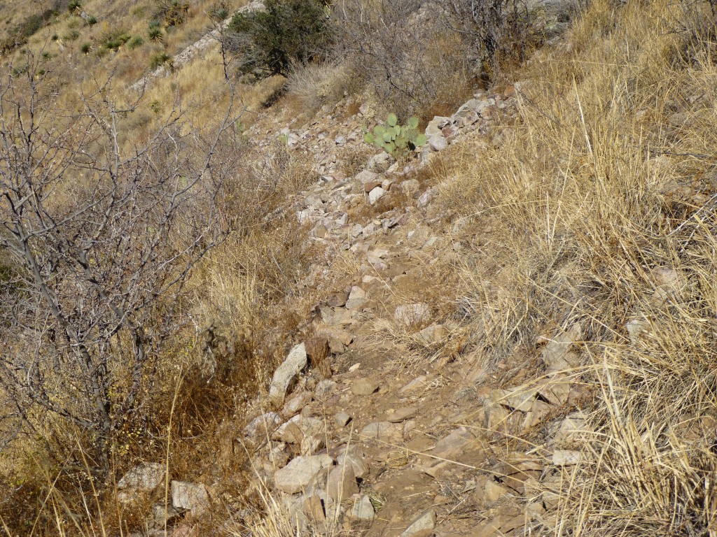
Andy decided not to continue on to the third peak, but I thought I’d give it a go. I worked my way down through a rocky area, then through a steep, very wooded notch, to end up below the summit ridge in an open grassy area. Andy had offered to wait on the summit until he could see me there, 200 feet below him. We shouted back and forth when I was down, and we each continued on our separate ways. His plan was to return to the truck; mine, to try to bag the third peak. Once upon a time, untold years ago, there had been a road of sorts that ran across the mountainside at about 7,000 feet elevation, probably used by miners. It still shows plainly on a satellite photo, but it hadn’t been used for so many years that erosion from its uphill side had gradually filled it in, and now it was a mere footpath.
As I followed it, I saw bits of cheap rope commonly used by undocumented entrants to carry their belongings. A short walk of about a third of a mile took me to a saddle at 6,600 feet. Here, I met another old road which climbed up from a valley to the north, and, since it happened to be going my way, I walked it along the east flank of Peak 7091, my next objective, to about 6,800 feet.
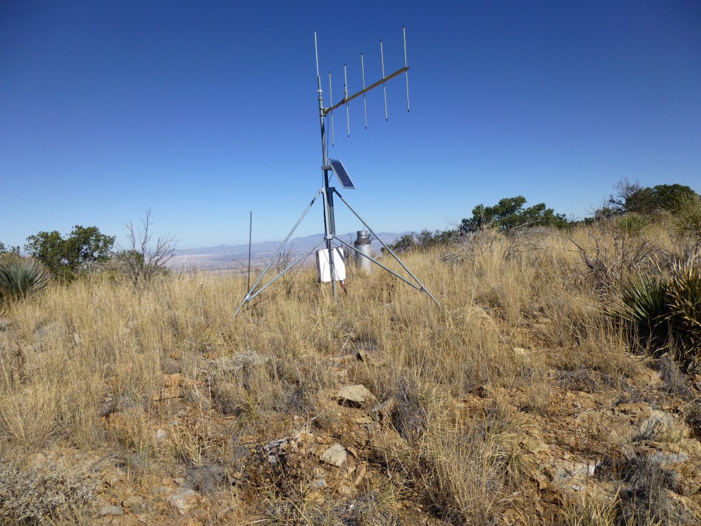
Once it had outlived its usefulness, I left it and climbed up a steep slope to the summit area. In a flattish spot, I came upon a strange set-up which at first I did not understand.
Upon closer inspection, I realized that it was a rain-measuring device which could transmit its readings to the U.S. Department of Agriculture, more specifically to the Southwest Watershed Research Center in Tucson, Arizona. There are many of these scattered around the state, to help alert the public in case of potentially-damaging and sudden rainfall incidents, and also to measure rainfall in general. The summit was nearby, and I signed in to the register and soon left.
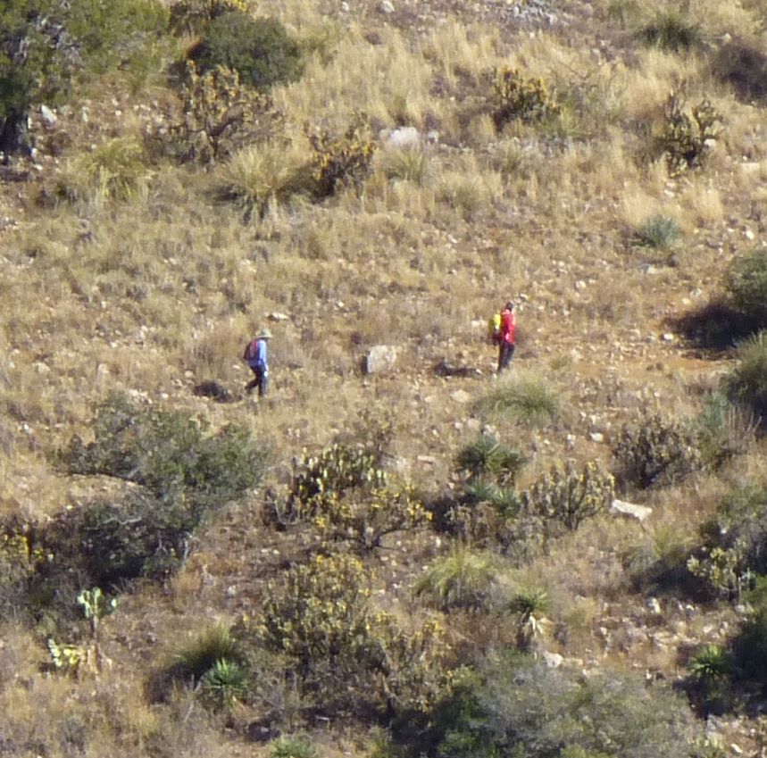
As I was descending the southeast ridge of the mountain, I could have sworn that I heard voices, so I stopped and listened carefully. This was really puzzling – who else but Andy and I would be up in a place like this? I heard the voices again, this time for certain – it sounded like they were coming from below Black Diamond Peak, where I had been not an hour earlier.
Studying the mountainside carefully, I finally saw two figures moving across the slope, in part aided by the bright blue and red clothing they were wearing. I shouted “hello” to them as loudly as I could, and I think they heard me because their talking stopped and they stood still for a while. They didn’t shout back, and soon they resumed walking. Here is an extreme blow-up of a part of the above photo, which shows the two people I heard.
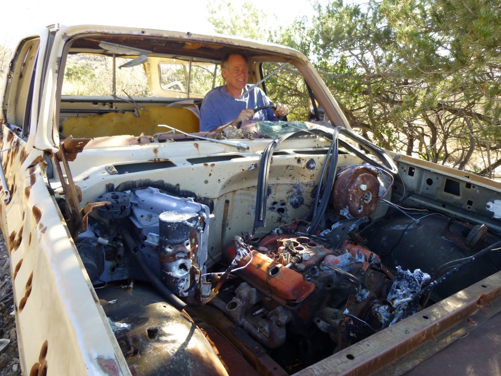
I continued down the ridge to the bottom of Henry Canyon and was soon back at the truck, where Andy was waiting. After discussing the mysterious persons with him, we concluded that they were not illegals (heading the wrong direction, south instead of north) and were not hunters (no guns), so they were likely looking for the old Black Diamond mine. Before long, we drove back down the canyon into more open country, where we spotted a vehicle parked nearby. Driving over to it to have a look, we found this bullet-riddled pick-up truck.
On its rear bumper was a sticker which read “105.9 Tucanes” – turns out this is an FM station in Tijuana, Mexico. The most likely scenario, which has played out countless times across the desert southwest, is this – the truck was stolen in the U.S. and taken to Mexico, where it eventually made its way back to the U.S. and was used in the commission of some crime, either running drugs or illegals. It probably crapped out where we found it, was abandoned, and then scavenged for parts by locals. There it sits today, and probably will for all eternity.
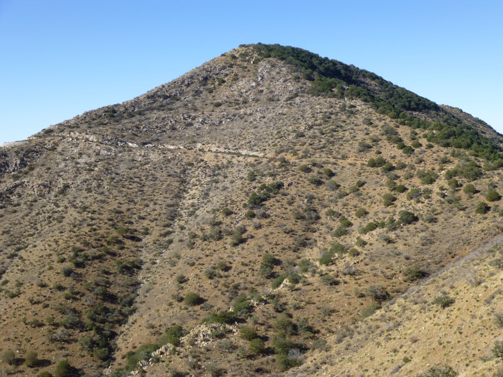
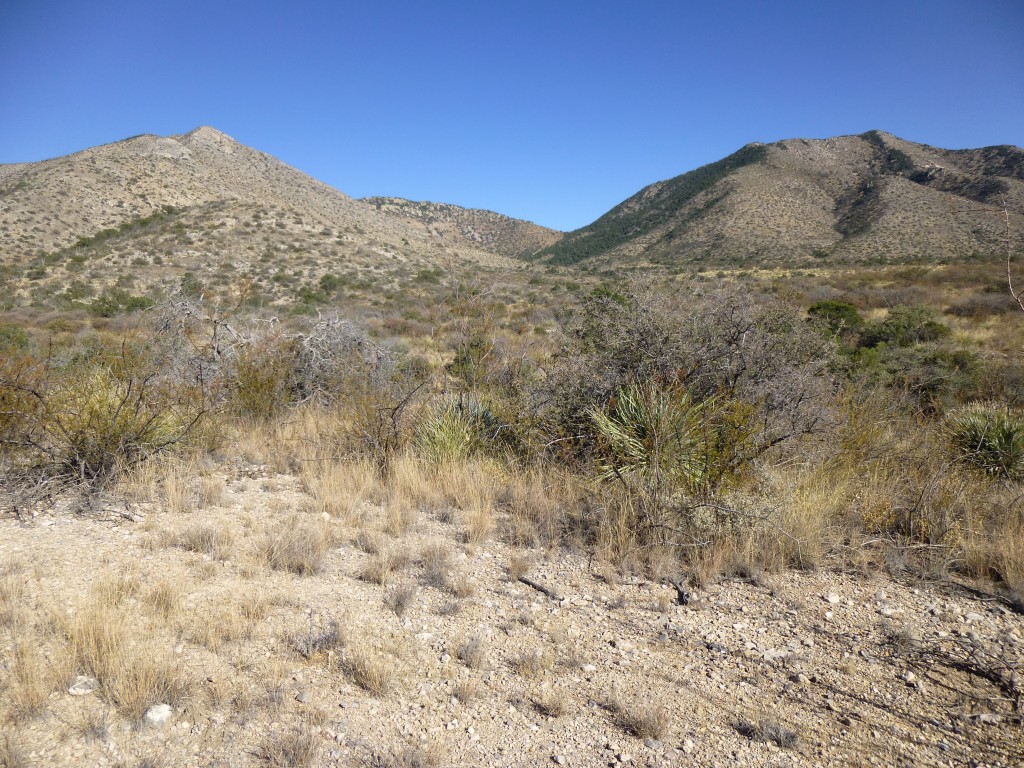
As we drove out, we had a good view looking back on to all three of the peaks which had made up our enjoyable day. Peak 7091 is on the left, Peak 7155 is on the right, and Black Diamond Peak is between the two in the background on the skyline.
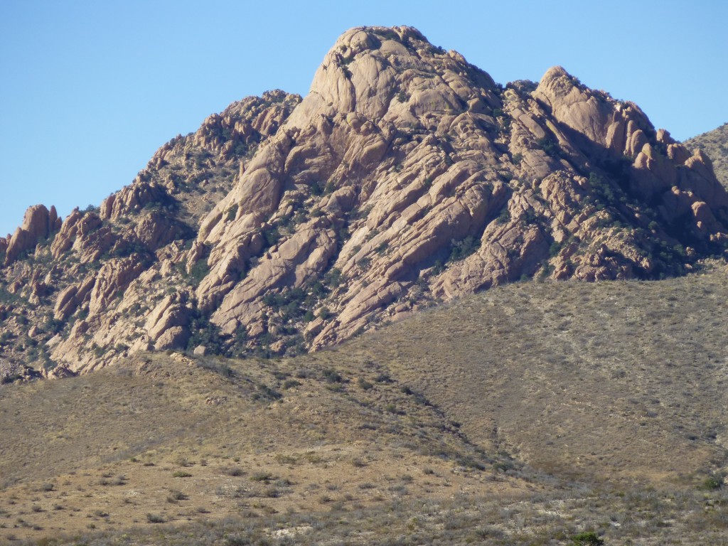
One more great view was to be had from the rough road out, a view to the north. Here, you can see a peak called Sheepshead, with 1,300 vertical feet of rock just waiting to be climbed. This shot is a long telephoto.
This won’t be our last trip to the Dragoons – there’s a lot more good stuff waiting to be climbed.
Please visit our Facebook page at https://www.facebook.com/pages/Desert-Mountaineer/192730747542690

