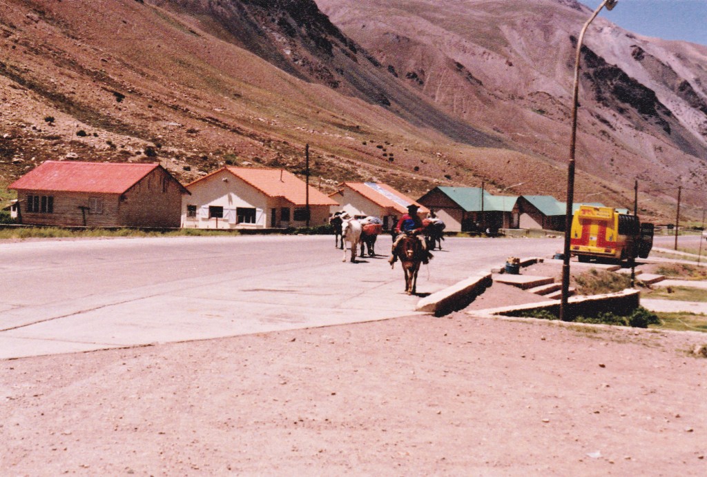
I slept in for a change, getting some much-needed rest before the din resumed out in the restaurant a few feet away. One thing that I needed to do was to try out the solvent I had bought in Mendoza. It worked fine, but I had to replace a gasket on my old MSR stove while I was at it. A mule train left the village with my gear on it, along with that of other climbers.
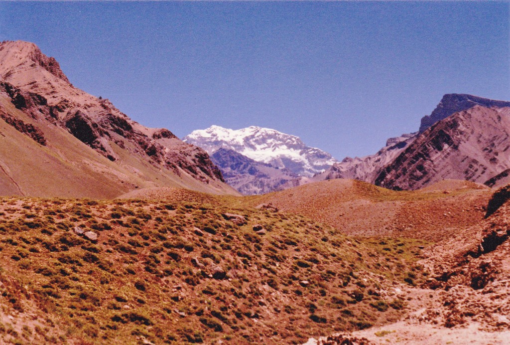
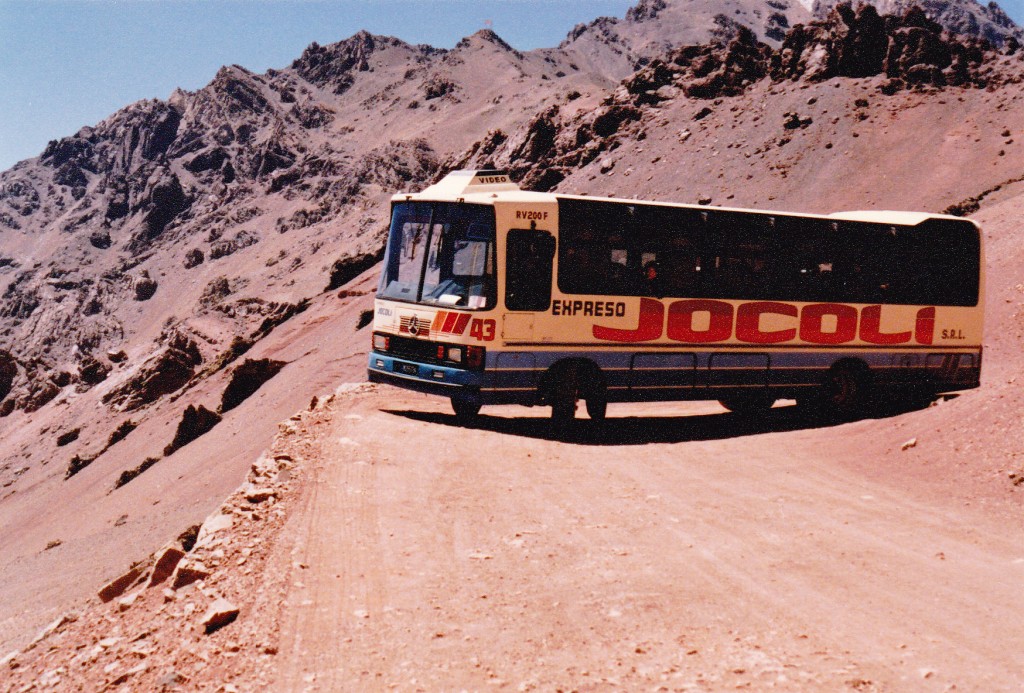
I thought that, just for fun, I would catch a tourist bus that passed through here and went over to the Chilean border. It was very enjoyable, with spectacular mountain views on all sides – we even had a brief glimpse of the summit of Aconcagua.
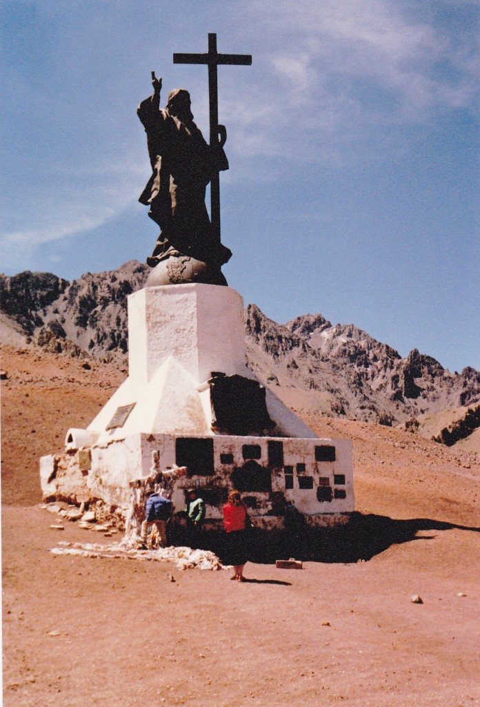
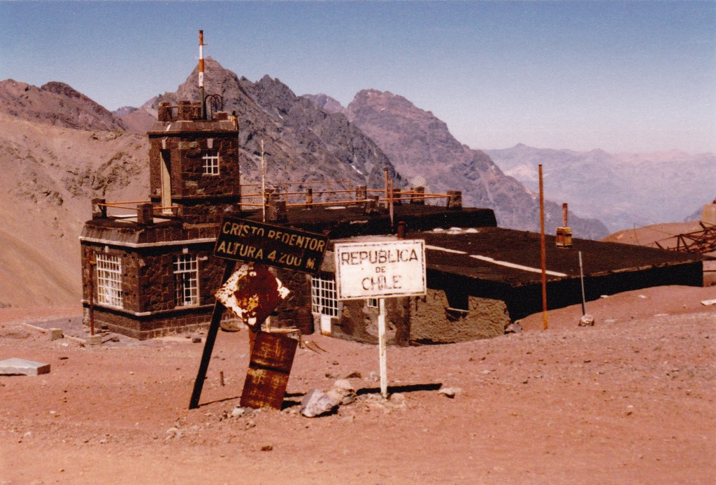
There were a lot of Australian and German tourists on the bus. We stopped right on the border at an abandoned checkpoint, at about 13,800 feet, where stood the statue of Christ of the Andes.
This statue was really something, having been dedicated way back in 1904. It bears a plaque which states: “Sooner shall these mountains crumble into dust than Argentines and Chileans break the peace sworn at the feet of Christ the Redeemer.”
After a while spent there, the bus headed back down the steep switchbacks of the dirt road, having to actually do a Z-turn on some of the tight corners. This was kind of hair-raising, as the front of the bus would hang well over the steep slope below the road.
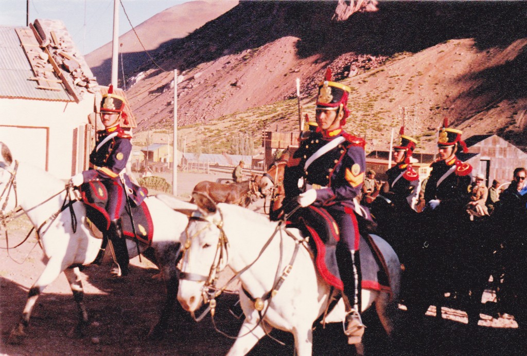
Back at Puente del Inca by 2:00 p.m., I spent the rest of the day socializing with other foreigners. The village sits at almost 9,000 feet above sea level, so it was a good spot to start to acclimate for what was yet to come. The Argentine Army has a post at the village, and we were treated to some military drill they were practicing that afternoon.
Also, I settled up with the proprietor of the Parador, including something extra for a ride to the trailhead the next day. Another very late night, drinking myself into oblivion with lots of other climbers from just about everywhere. I was going to miss the cameraderie of this place. Oh yes, I noticed a wall in the place which was festooned with photos of famous climbers, including an autographed photo of Reinhold Messner from 1974 when he dropped by to solo the 10,000-foot south face of Aconcagua by a new route.
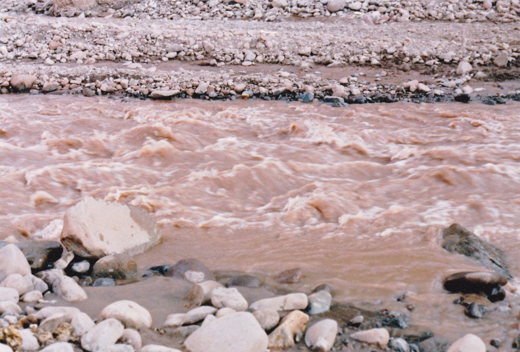
The next morning arrived, it had now been one week since I had left home, and finally I was going to start the highest climb of my life. At about 8:00 a.m. I got a ride to within one kilometer of the trailhead. In spite of the fact that I had sent 65 pounds of gear on ahead, I was still carrying a lot, including a tent and sleeping bag, stove and fuel, plus a few days worth of food and other impedimentia. It didn’t take long to reach the start of the trail, where the first obstacle is met. You have to ford the Río Horcones – it is mid-thigh deep and ice-cold, fed as it is by glaciers and snowfields. The crossing went without incident – I had bought a pair of el cheapo sneakers just for that purpose. They made it easy and saved me from getting my boots soaked. I was at 9,900 feet at this point.
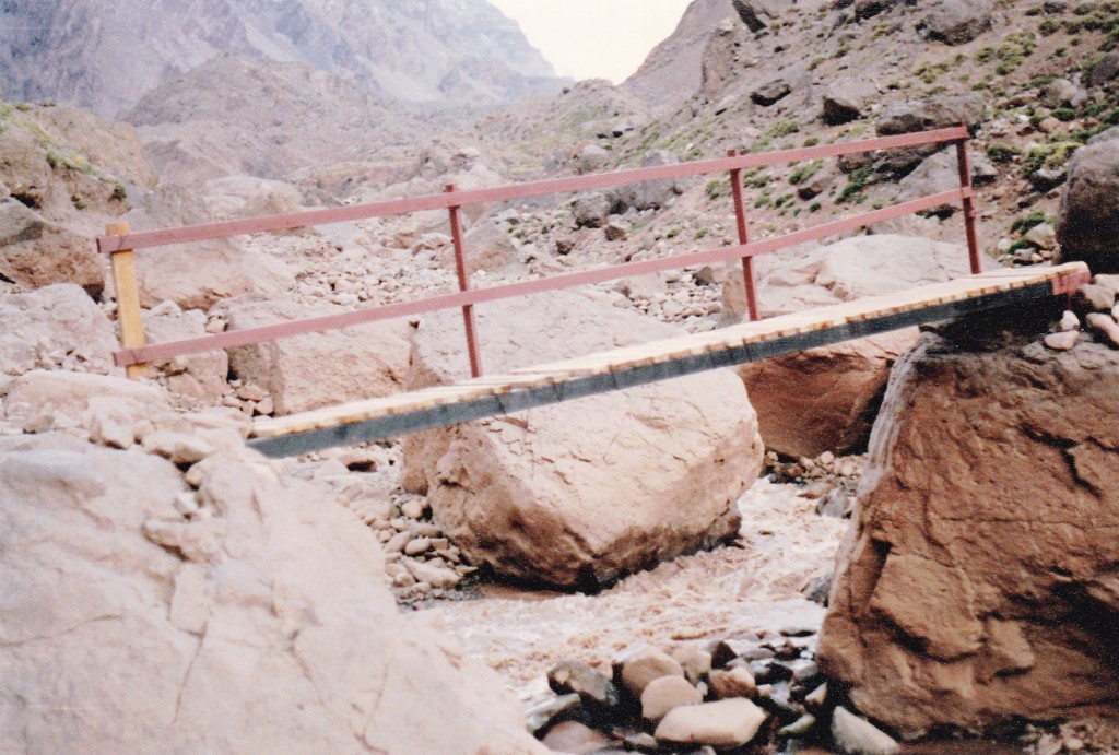
After the ford, the trail follows the river, slowly gaining elevation. About four hours later, I came to a place they call Confluencia, where the two branches of the Río Horcones meet, the Superior and Inferior. A cable and a simple wooden bridge were there, which made the crossing easy.
The trail continues above Confluencia, and I finally stopped after about 5 1/2 hours on foot. Truth be told, I felt like crap. Pitching my tent near a small clear stream, I was just over 11,400 feet elevation.
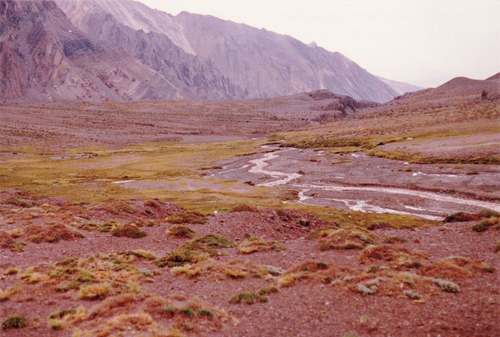
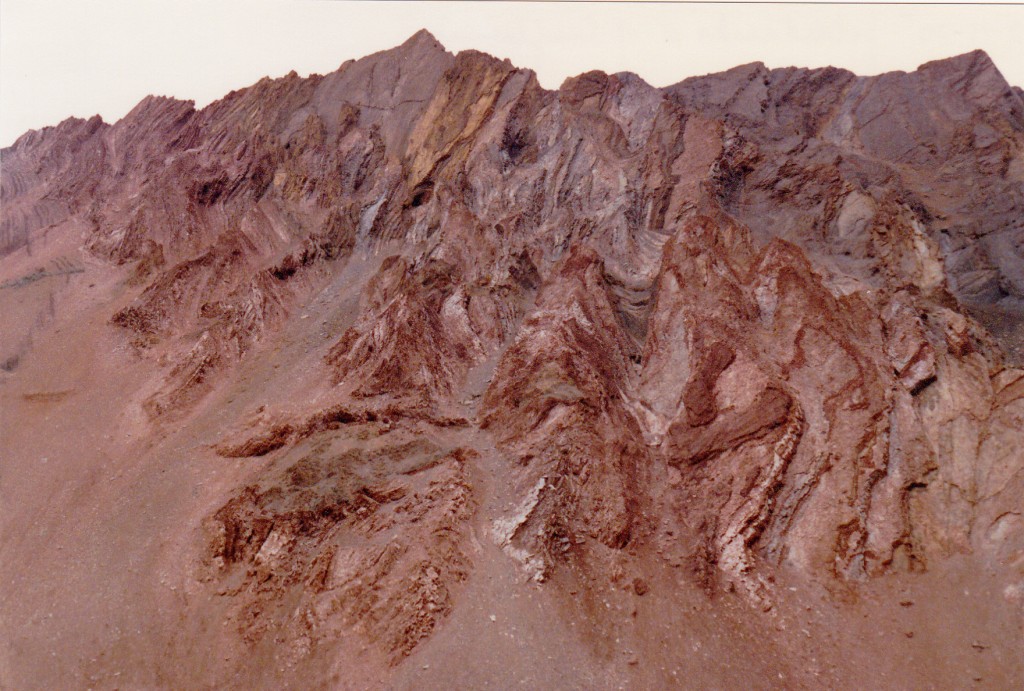
It seemed like I had been going awfully slowly, and I think the elevation was getting the better of me. My plan had been to keep going for much longer, but I just couldn’t do it. The scenery was great, though – the valley was lined by high peaks formed of folded sedimentary rock.
As the afternoon progressed, four sets of mules passed by, and I saw three sets of climbers descending the valley. Also, I saw a lot of helicopters passing back and forth. During the afternoon, it clouded over but didn’t rain. I had one heck of a headache, so took some aspirin which seemed to help. En route today, I passed three dead mules – hmmm, seems like being a mule isn’t the best job in these parts. I kept hoping that somebody else would camp here, it’d be nice to have some company, but no such luck. I had the place all to myself, and the sun set behind nearby peaks about 8:00 p.m. I did have a good appetite, though, and buns with mayo and cheese for supper tasted pretty good. I tried to drink a lot of water to stay hydrated. I went to sleep around 8:30.
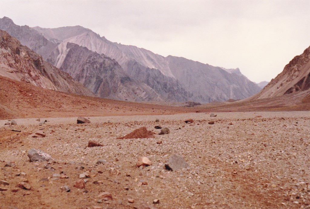
After a good night’s sleep, I woke up late. By the time I had packed up and started out again, it was already 11:30 a.m. My goal for the day was to only go as far felt comfortable. My pack weighed about 40 pounds, even after having sent so much ahead on the mule – it felt heavy – what a wimp! The Horcones River valley is very flat, with almost no discernible slope to it.
I crossed the river four times during the day, usually at very shallow braided areas – only once did I have to ford it at a deeper spot. I stopped to rest more times than I could count. Whenever I met anyone, I would engage them in conversation – today, it was Hungarians, Columbians and Australians. Thankfully, no headache at all – in fact, I felt fine, just lethargic.
Seven hours of walking – a good enough day for me. By the time I stopped, I was all shagged out. I stopped in the lee of a big rock beside the trail, about a hundred feet above the river on its east side. My best estimate was that I spent the night at 12,570 feet. It cooled off quickly as soon as the sun set. Man, I hope I get my second wind tomorrow! Two full days on foot and I still haven’t reached the base camp – seems like most parties would have made it in that amount of time.
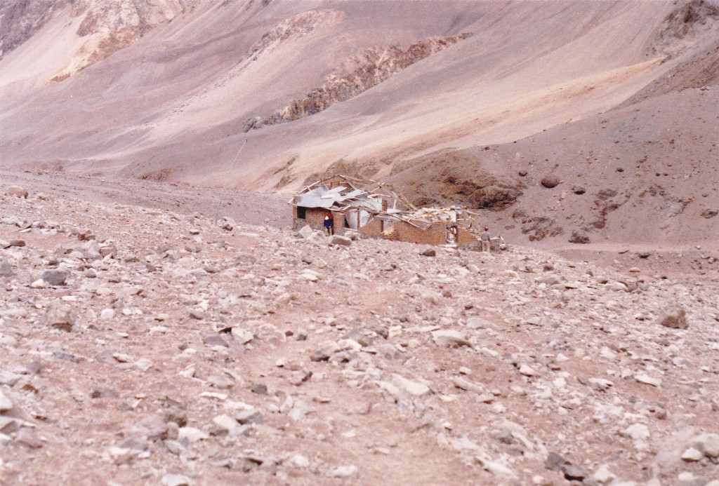
Saturday, January 27th – I got up pretty early, packed up and set out again. In the shade of the mountains, it was quite cool. Met up with the Hungarians again – they hadn’t gone the whole way either. The next part of the trek was a lot of ups and downs over moraine debris, then up a series of steep switchbacks. At around 13,400 feet I passed what was left of the old base camp, which had been destroyed by an avalanche.
Three hundred feet higher, I passed by the toe of the Horcones glacier. Even though it felt like I was going a bit more strongly today, it still took 3 1/2 hours to finally reach the base camp, Plaza de Mulas, at 14,000 feet above sea level. In total, it had taken me 16 hours of walking to cover the 26 miles from where I had been dropped off. Hmmm, no land-speed record set there.
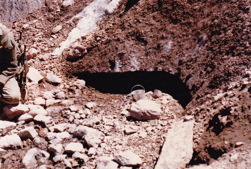
So, there I was. I located the muleteer’s man and found where my gear had been dropped in the dirt. Dragging it over to a pretty flat spot, I set up my tent, planning to spend a couple of days before heading higher up the mountain. The first order of duty was to go over to the glacier and get water – others directed me to a small ice cave which had water running from it.
Seemed like it should be pretty safe, but I knew I should boil it first, so I made a practice of doing that while on the mountain. I sent out some mail with a French group that was leaving, ate some porridge and sardines, and spent the rest of the day visiting with others. This place was great! There was a lot I needed to learn about the mountain, with no end of opportunities to do so.
After replacing the pump gasket on my stove (thank God I had brought a repair kit for it, poor tired old stove!), a Japanese group arrived. We all talked with some Americans who had just carried loads to Nido de Cóndores, a full 3,600 feet higher up. The overcast of the day was clearing up, so that was a good sign. Hey, I discovered that my little radio (the only luxury I had allowed myself) could receive several Chilean rock stations, so that was a great way to fall asleep at night. Things seemed to be going pretty well, I was excited, and felt that I would soon be making good progress up the mountain.
To be continued………………….
Please visit our Facebook page at https://www.facebook.com/pages/Desert-Mountaineer/192730747542690

