Something was bugging me, and it had been for a while. There was something I needed to finish, and I preferred doing it with a partner rather than by myself. I hadn’t been able to talk Erik or Koz into it, or even Andy. I thought I’d put out the call one last time, and Jake agreed to do it. I explained to him that there were two peaks I needed to climb in the Table Top Mountains. Needed, in the sense that they were the last two peaks I had to climb to have completed the range and also to finish off all the summits on that topographic map sheet known as the Antelope Peak quad.
We planned an early start, and Jake showed up at my place at 4:20 a.m. Man, it was early! I’d only ever do that for a climb, and nothing else. We hopped into my truck and off we drove into the night. Seventy or so miles later, we were turning on to the notorious Vekol Road and heading south. You always want to keep a sharp eye out in this area. Law enforcement had probably intercepted more loads of smuggled drugs in this valley than just about anyplace else in Arizona, and that’s saying something. By now the sun was up.
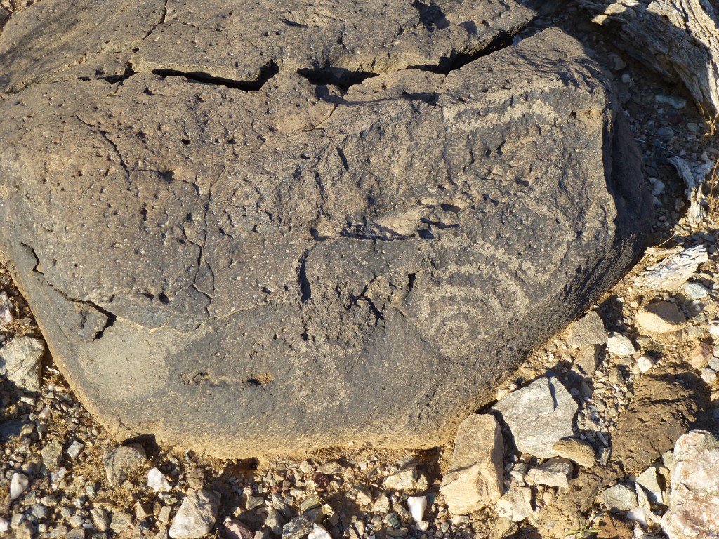
We came upon a stone wall with a sign telling us to go left to the Vekol Ranch. A guy I had talked to at the BLM (Bureau of Land Management) said that when we came to a fork in the road, we should take it. So, away we went and in short order drove right past a group of buildings that must have been the ranch, long abandoned. Five more miles of driving on a sometimes-rough dirt road and we stopped at a small parking area. We had crossed into Pinal County and had also reached the Table Top Wilderness Area. The day looked promising – clear, sunny, still a pleasant seventy-or-so degrees. Right by our parking spot we saw a rock with a petroglyh carved on its surface – an interesting start to our day.
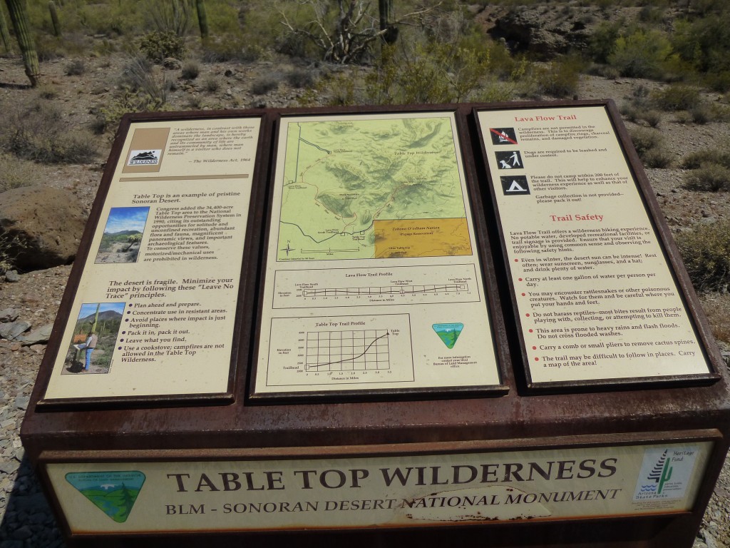
The plan was for each of us to carry five quarts to drink, and maybe stash a couple part-way in. At the parking spot was a sign that gave a lot of information, and here it is. You can click on the photo to enlarge it so it can easily be read.
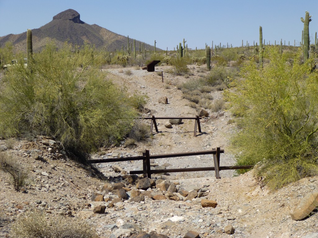
An old road served as the path we started to follow. It dropped down into a deep wash and continued up the other side. It was obvious that smugglers had been driving on this old road, because authorities had put up this barricade. It was made of huge pieces of railroad track welded together, and would definitely put a crimp into the plans of anyone trying to drive through.
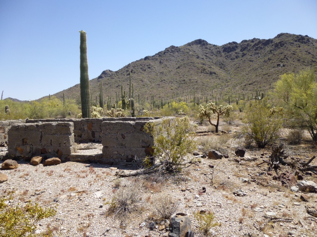
Once we scrambled out of the wash, it was pretty easy to continue walking along the old road. This sign-in box soon greeted us – we dutifully left our John Henrys, indicating we were here to climb. A mile and a half later, we arrived at an area which had seen a lot of mining activity – the map showed at least ten old prospects. The ruin of an old house stood in the midst of it all.
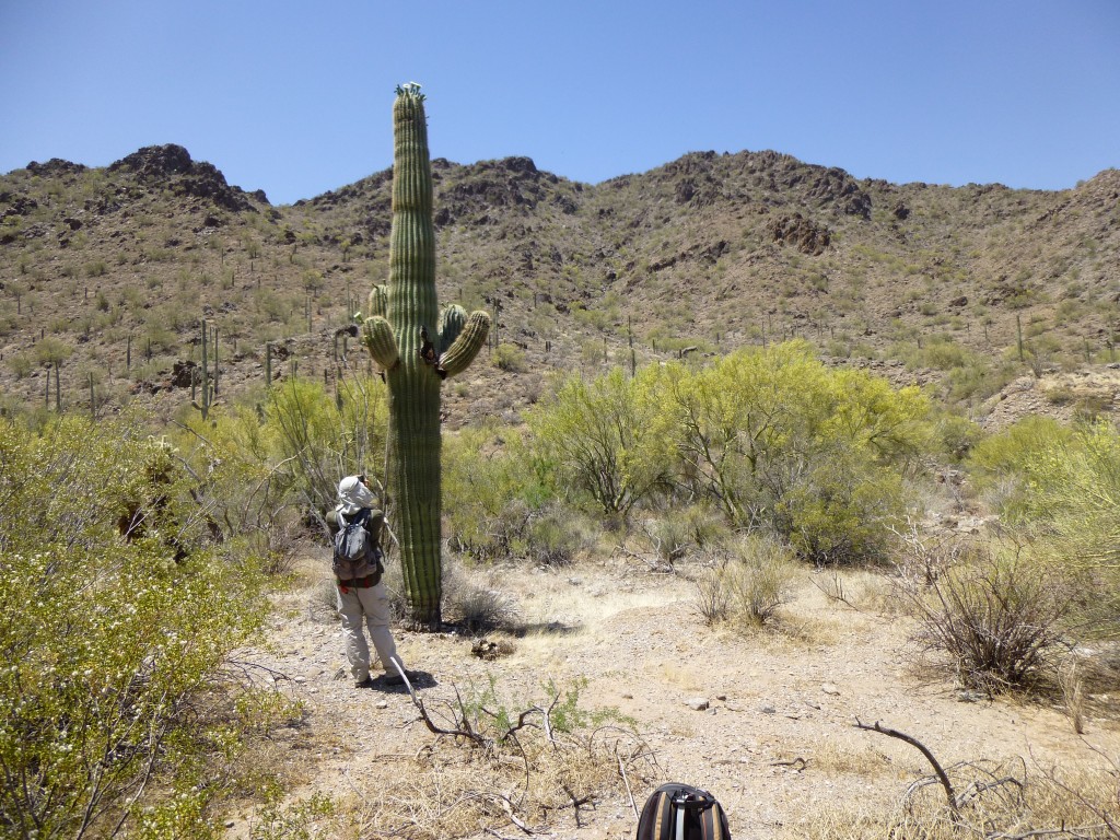
I don’t know anything about the history of this location. Much of the early mining activity in Arizona occurred in the 1880s, but this house certainly came much later than that. It was near here that we set our four quarts in the shadow of a saguaro – we would really be depending on it later.
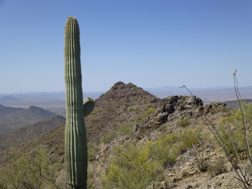
Walking up the remnants of another old road, we crossed over a low ridge and dropped into a valley to the northwest of our first peak. Our plan was to follow it to climb the last 1,500 vertical feet to the summit. It was pretty good going, but it did take a while. Once we gained the summit ridge, north we went and soon stood on the top. But wait, something wasn’t right. What the …..! I hadn’t paid close enough attention before starting this outing, and hadn’t interpreted the map correctly, so had led us to the wrong bump on the ridge. In fact, the true high-point was a quarter-mile farther south.
By the time we made our way over to the real summit, probably half an hour had been wasted. My bad. Once on top of Peak 3940, we found a cairn, and inside it a register. I was thinking it’d be filled with a lot of familiar names. Nope, just one – Bob Moore from Phoenix. He had left it in 2009. I’ve never met him, but did correspond with him twenty years ago. A peak as big as this, I’da thought there’d be a lot of register entries. There are at least two others I know of who have climbed it though. Nearby, Table Top dominated the skyline, like a presence – even if your back were turned, you could sense it behind you. It is the namesake of both the range and the wilderness area.
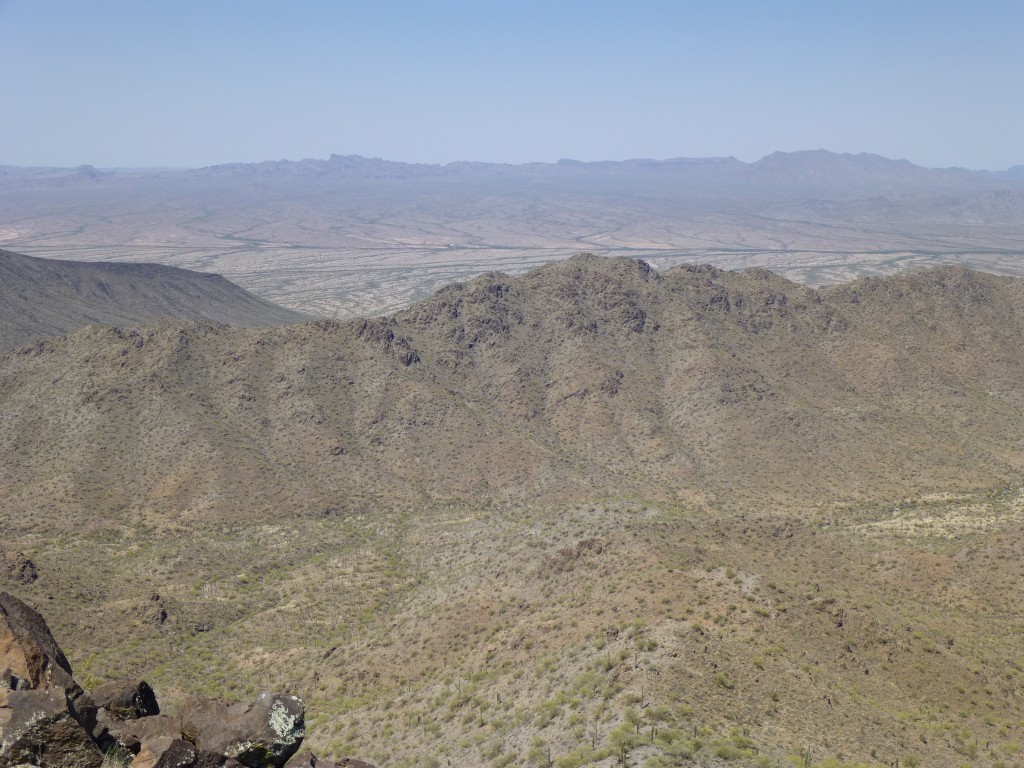
Here is a link to a video I shot on the summit, which shows the views in every direction.
https://www.youtube.com/watch?v=oidp8-xhaCc
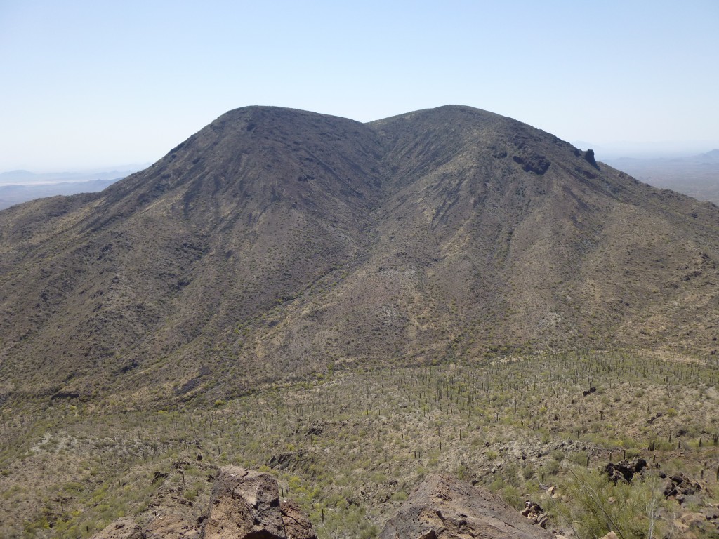
It was now 10:30 a.m., and getting hotter. As we sat on the summit, a thought kept nagging me so I finally ran it past Jake. If we went back down this first peak, the way we had come up, to reach our stash of water, we’d be in good shape. However, to climb our second peak directly from the stash, we’d incur an extra one to two miles and an extra 400 vertical feet. If we just went directly to our second peak from here, we’d save time and effort, but be low on water. What to do? Doing both peaks in one push without replenishing our water supply hadn’t been in the plans. We both felt pretty good at this point, and decided we could pull it off. That stash was gonna taste mighty good, though, when we finally reached it. Here is what our next peak looked like from our present vantage point (it is the one in the center, down below, with the multiple small bumps).
It was a long way down to the desert floor from here. As we descended, the wind felt good and had a nice cooling effect. Our line of descent had us climbing over three different bumps along the ridge, and once we had dropped to the valley below, it felt just plain hot.
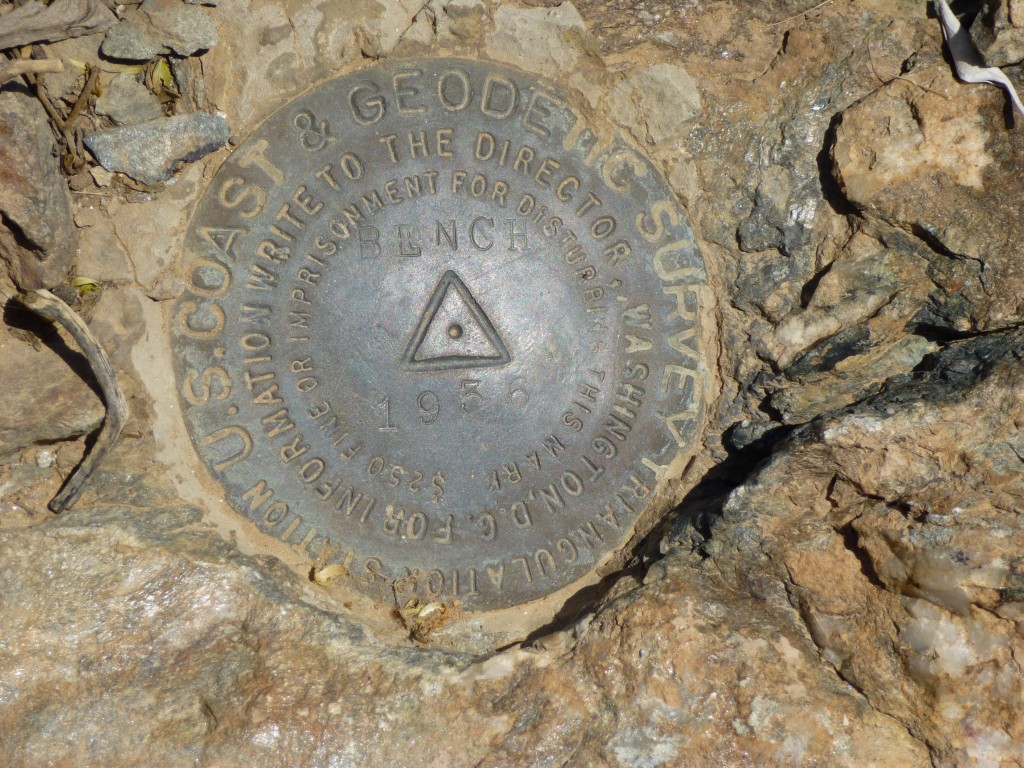
This last 850 vertical feet went none-too-quickly, even though there weren’t any real obstacles in our path. We skirted a few cliffs, and stood on the summit of Bench Benchmark (3,425′) at 12:45 p.m. Not a very creative name – the surveyors must have been brain-dead that day back in 1936.
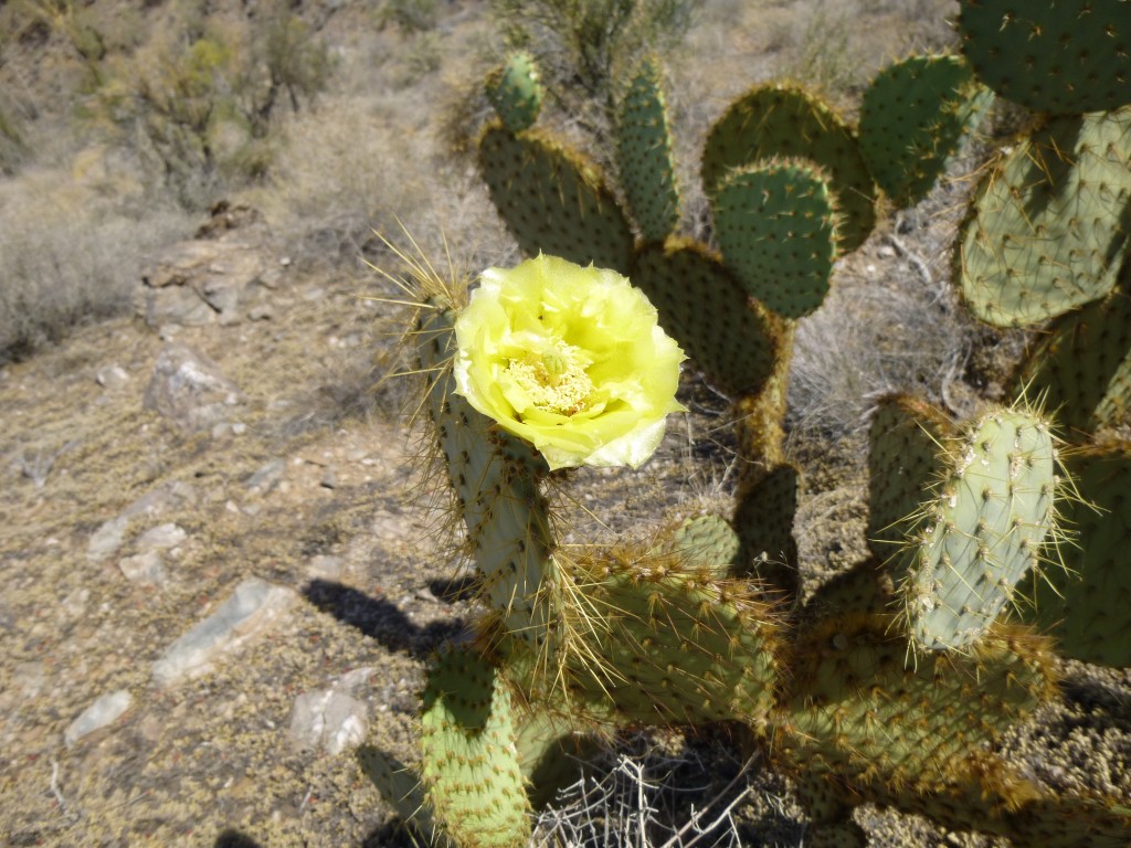
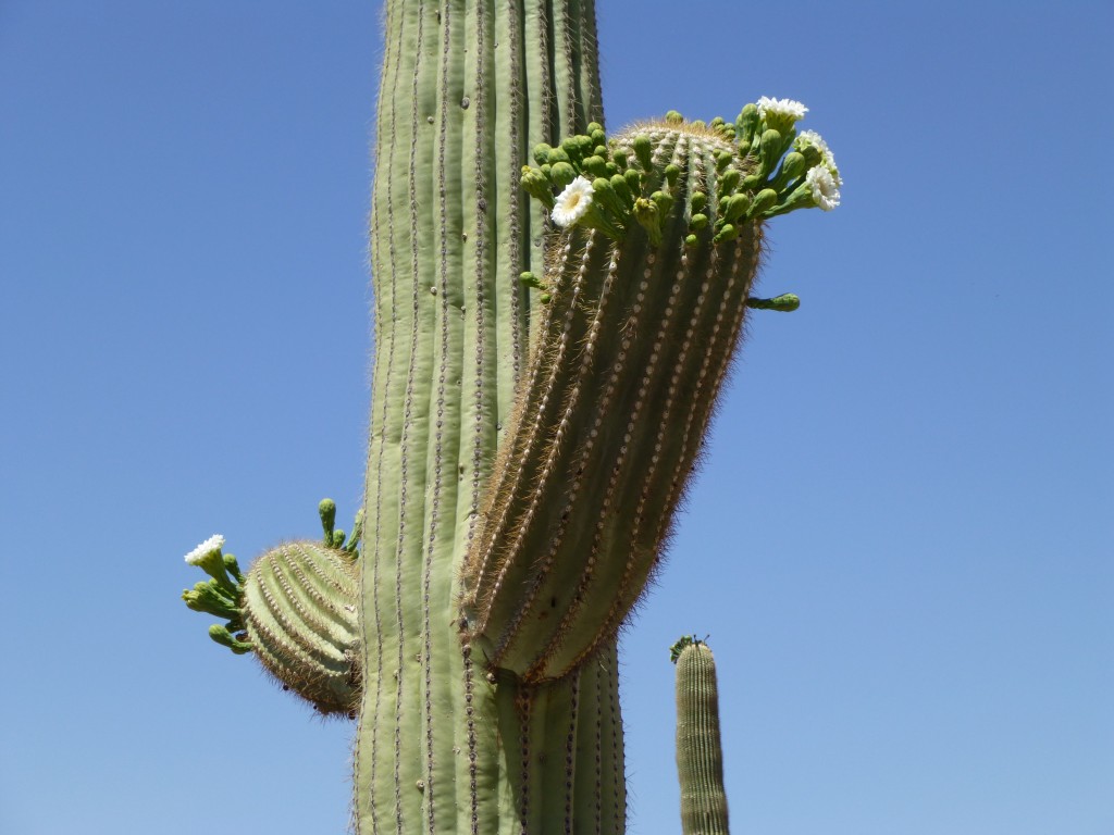
All the usual suspects had signed in to the summit register, and we did too. Our gamble had paid off – no leg cramps or other issues, even though we had rationed our water. By now, we had figured out our descent route – a 1,000-foot drop straight down the north side. Less than an hour later, we were gorging ourselves at our stash. It’s funny, but when it’s hot out like this, you don’t have much of an appetite – I don’t think we had each eaten more than a couple of Clif bars all day. The heat saps your appetite – it’s your fluid intake you need to watch. We spent a few minutes, then headed off down the valley. The prickly-pear cacti were blooming. So were the saguaros.
It was almost 3:00 p.m. by the time we got back to the truck. Eight hours had passed, and it was 92 degrees – time to call it a day. It felt so good to strip off our salt-caked clothes and put on clean ones – Jake suggested that maybe he would just ride all the way back to Tucson naked in the cab of the truck. Yeah, that’d make quite an impression if we were stopped by the Border Patrol! I could always tell them that he had been wandering in the desert like that when I found him.
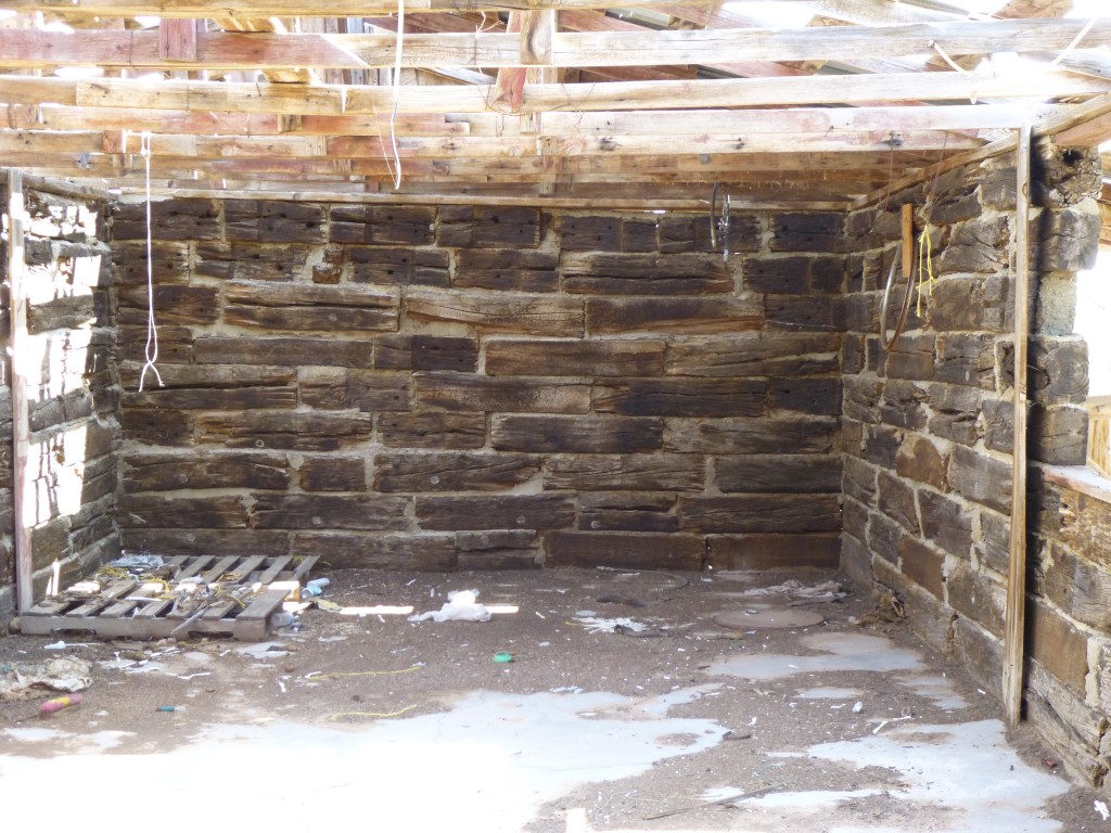
As we drove out, we stopped at the set of buildings that had been the Vekol Ranch. There was a large house, a couple of trailers and several out-buildings. We started to look in one, but beat a hasty retreat when we realized that wild bees had built their nest inside it. Lately, bees had injured many people and even killed a climber in our area, so we were a bit jumpy. One of the buildings was made of hewn logs mortared together.
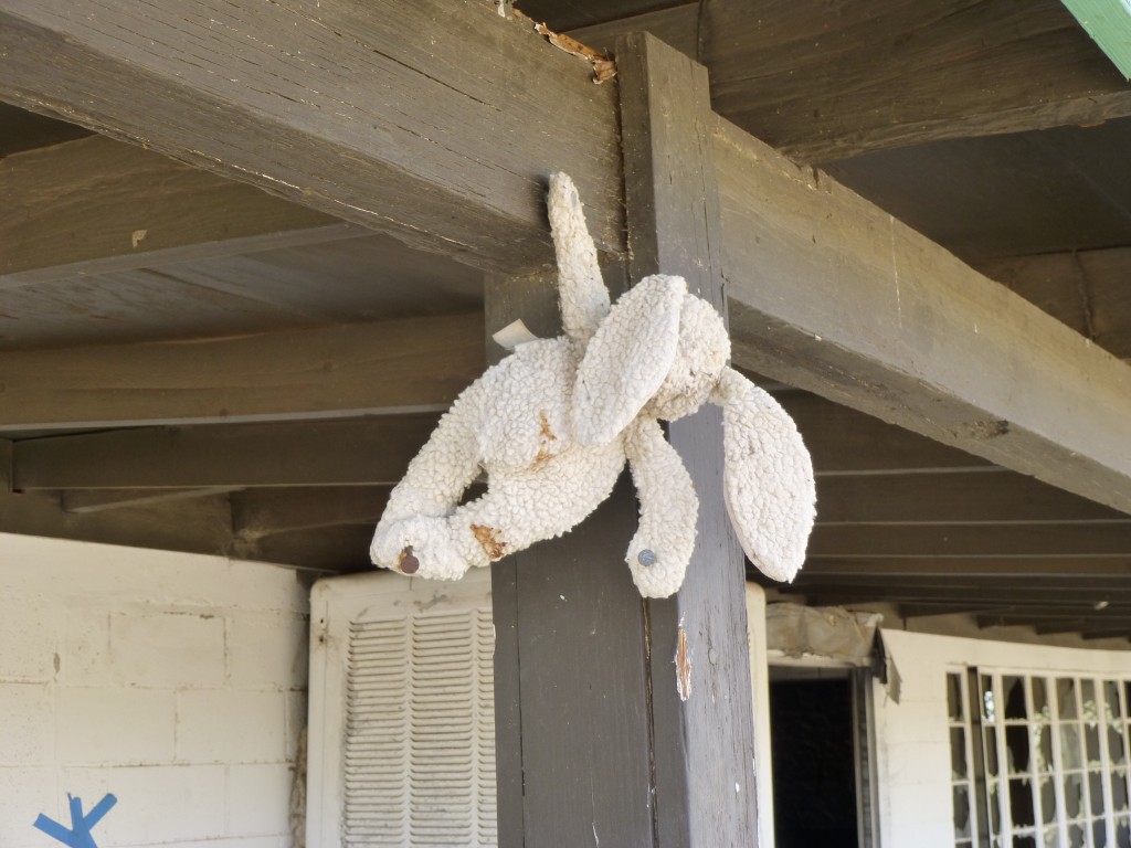
When we walked into the main house, an awful smell greeted us. It didn’t take long to find two rotting rats in a half-filled 5-gallon water bucket. Nasty! In spite of that, we could see that this had been a nice home in its day. Children had probably been raised here – we saw this stuffed toy rabbit on a nail.
I have since learned the reason the ranch was abandoned. In 2001, when the Sonoran Desert National Monument was created, one of the conditions put into place was that all mining and grazing leases could not be renewed in the area south of Interstate 8. The ranchers who ran cattle on the Vekol Ranch had leases which were due to expire in 2008, and that’s exactly what happened. They knew that once 2008 arrived, they wouldn’t be able to continue running cattle on that land, so they packed up and left. It had to be very difficult to run a successful cattle operation out there in such a harsh desert, even at the best of times. The end of an era for the Vekol Valley.
Please visit our Facebook page at https://www.facebook.com/pages/Desert-Mountaineer/192730747542690

