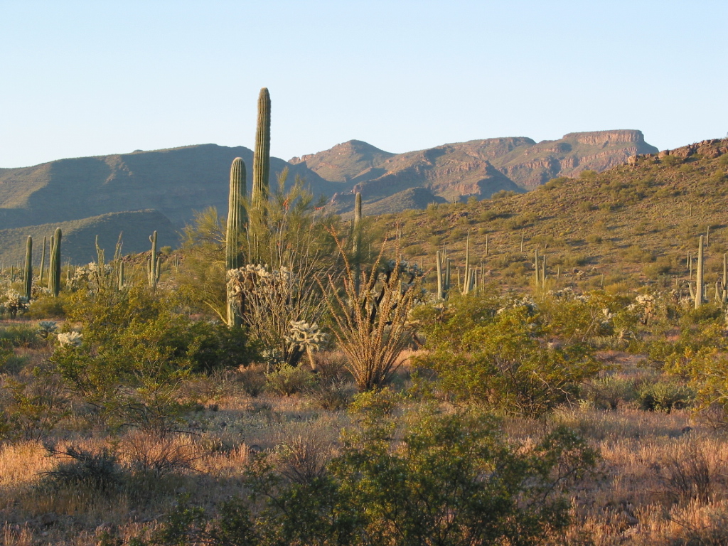
One fine March day a few years ago, I headed west from Tucson and drove most of the way across the Tohono O’odham Indian Reservation. At the junction of State Highway 86 and Indian Highway 21, I met up with Dave Jurasevich who had driven out from Los Angeles. We hadn’t climbed together for a year, so this trip was long overdue. Dave had suggested that we do some climbing in Arizona. I thought that the Mesquite Mountains offered some great possibilities, including some named peaks that looked interesting.
We convoyed south down Highway 21, keeping in touch via our ham radios on the 2-meter band. We hadn’t been driving but a few minutes when we saw a group of undocumented immigrants riding bicycles north along this paved road, in broad daylight, water jugs slung over their handlebars! The border is so porous here. I swear, if the Feds are worried about terrorists getting into the country, they’d better smarten up and put more money and manpower down here where it’s needed. Al-Qaeda could pour guys into the country along this part of the border and half of them would get through un-noticed.
Anyway, at the village of Kom Vo, we tried to find the start of a rough road heading west. There are perhaps twenty homes here, but the road probably left from someone’s back yard, and we had no luck finding it. So, we found a place to cross the very sizeable San Simón Wash, and ended up at Vásquez Well, about five miles south of the village. From here, things became easier and we were able to backtrack north. About four miles west of Kom Vo, we picked up the road we had sought before. Even out here, it was well-travelled. We followed it easily for another mile west to a corral. After that, it was somewhat overgrown but otherwise easy to follow, which we did for yet another mile.
It was about 5:30 pm when we found the perfect campsite, surrounded by the northern peaks of the Mesquite Mountains. We had a nice bright moon, perfect temperature and good food and drink. It was like we had died and gone to heaven. We talked for hours, getting caught up on the events of the past year.
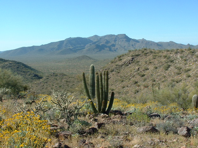
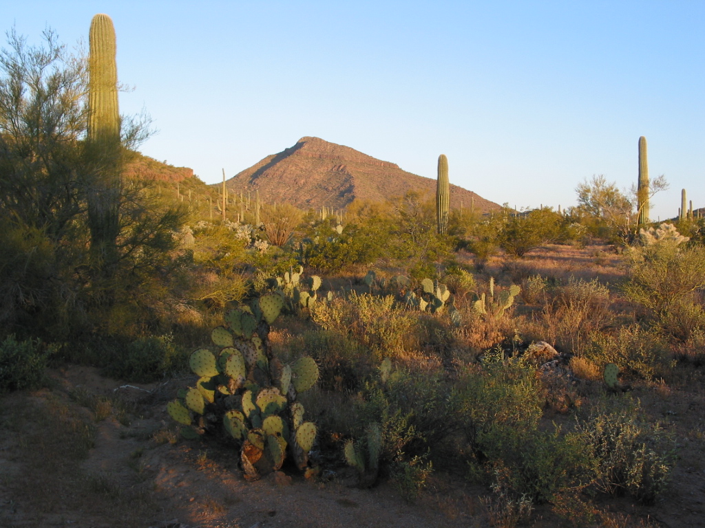
At sunrise the next morning, we headed out. It was a picture-perfect day. Walking north through some low hills, we gained a ridge and soon stood on the summit of Mamtotk Peak, at 2,370 feet elevation. (I believe this name means “turtle head” in the O’odham language). This summit was about two miles from our trucks. There was no sign of any previous visitors, so we built a cairn and left a register. This picture shows the view south from the summit of Mamtotk Peak, towards the high country of the Mesquite Mountains, a full fifteen hundred feet above our position. In the foreground can be seen a rare organ-pipe cactus, found only in this part of the world.
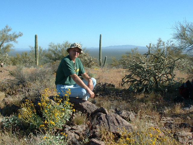
Here is a picture of Dave on the summit. In this view, the camera is looking north.
Hoping to do a lot more climbing that day, we didn’t linger, and soon descended the west ridge to the desert floor.
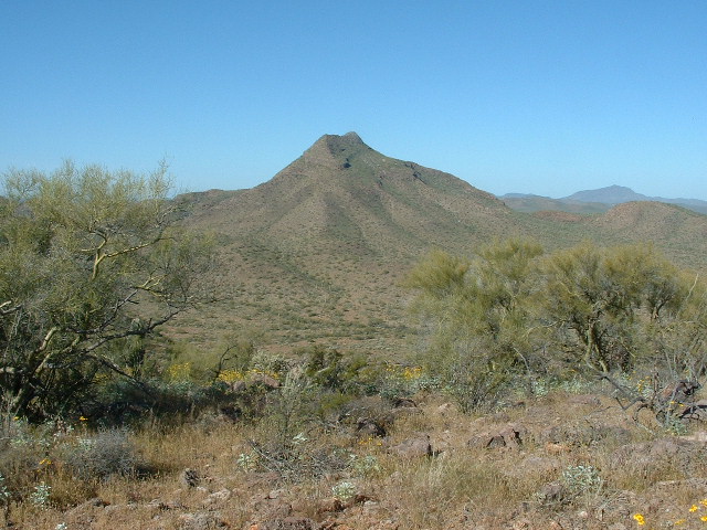
Chupan Mountain, elevation 3,044′, was next. This is a nice-looking peak, visible for a long way in every direction. Dave had spoken of it for years, and here we finally were. Our route was the thousand vertical feet up the northeast ridge. It went without incident, a few small cliffs en route adding to the fun. It was a perfect day, clear blue desert skies, wildflowers in bloom. Black vultures floated overhead. On the summit, we found the benchmark “Quite”, and built a cairn and left a register. We spent a long while admiring the view. It seemed like we were really out there, far away from anyone. I gazed at distant dirt roads to the north and west, trying to decide how I could use them for access into other peaks I wanted to climb in the northern Mesquites.
We descended by the southeast ridge, reached the desert floor and in a short while we were back at the campsite. After a few cold ones, we drove back to a road we had used the day before. We decided that, rather than try to head east to Kom Vo to catch the paved highway 21 (we weren’t sure if we’d end up in somebody’s back yard and have some ‘splainin to do), instead we would head south on this dirt road. It wasn’t on the map, yet looked like it had been in use for a long time. We followed it down the middle of the Kom Vo Valley. In 20 minutes, we had passed Vásquez well. The road just kept on going. Soon, we arrived at an east-west fence-line. This was the boundary between the Pisinimo district (to the north) and the Chukut Kuk district (to the south). There was a road along this fence, which we had hoped for, but to our surprise there were other roads all over the place. It was time to explore.
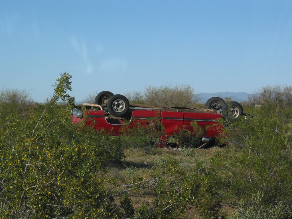
We continued south on a road which skirted the extreme southeast corner of the Mesquite Mountains. It then headed west for a mile and reached another road along a fenceline. This was, in fact, the boundary between the Gu Vo district (to the west) and the Chukut Kuk district (to the east). For the last few miles, we had passed many abandoned vehicles. Some were burnt right down to their frames, some were upside down, most were stripped of anything valuable or useable, and many were filled with bullet holes. Jeez, what a place!!
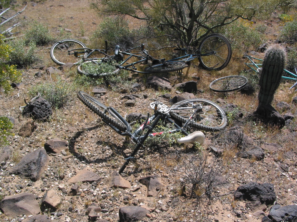
We were just over 5 miles from the Mexican border, and this was an obvious conduit for illegal activity of all sorts. Empty water jugs, discarded clothing, backpacks, and plenty of bicycles littered the landscape.
Since Dave didn’t have the same frantic agenda I did out here on the res, he stayed with the vehicles and took a whore’s bath. We were parked along a road not shown on any map – it had no doubt been made by the passage of many vehicles driven illegally across the border from Mexico. I lit out to the west across the flats and a mile later arrived at Peak 2242, the southernmost of the Mesquites. It was a quick ascent. I left a cairn and register and called Dave on the 2-meter, then headed back down to the trucks. We hightailed it out of there and headed back into the Pisinimo district. Luckily, we were able to follow a road west about two miles (also not on the map) and at its end we were beautifully positioned for Bailey Peak.
We had an excellent campsite. The sun set, the moon was high and bright, the temperature was perfect. After a good meal, we put on some fine tunes, and slowly worked our way through a mason jar of Sauza Reposado. This, my friends, is what the Sonoran desert is all about.
At sunrise the next day, we headed up a fairly brush-free valley which took us to the north side of Bailey Peak. We knew nothing about this one, other than the fact that the contours looked pretty tight on the topo and it looked well-guarded from the few glimpses we had seen. We found a gully that led to a notch right beside the summit. Up we went, climbing a series of ledges.
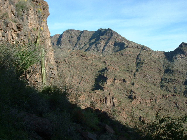
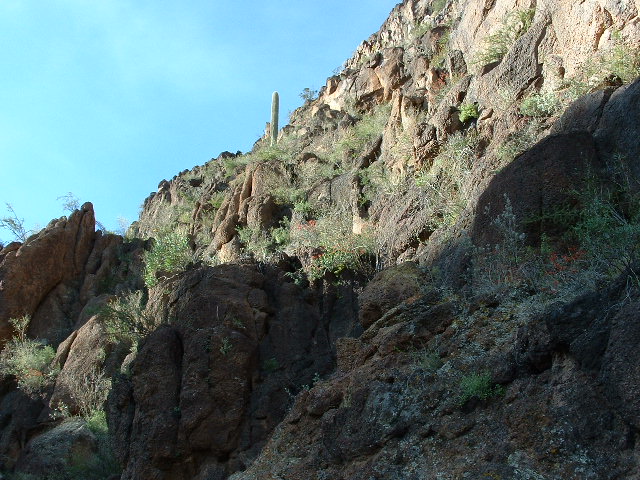
In the next photo, our ascent route goes right up the middle of the photo.
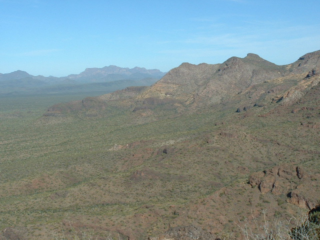
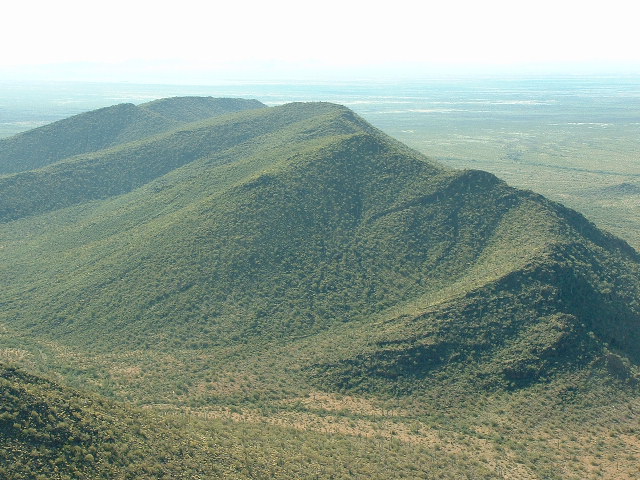
There was nothing too bad, a lot of Class 3, with some Class 4 in spots. It was a good route – we were on top before we knew it. No sign of any previous visit. We took photos and left a cairn and register. Here is a view you won’t see anywhere else – you are looking across the southwest edge of the Mesquite Mountains, over La Quituni Valley to the distant Ajo Range.
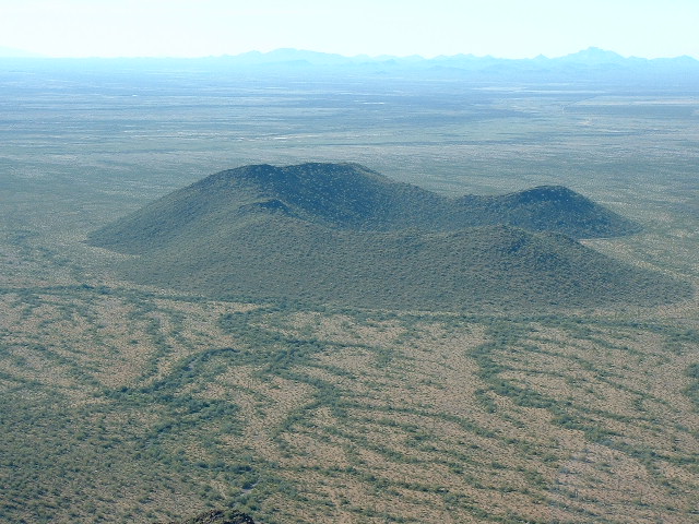
And here’s another never-before-seen view. This is from the summit of Bailey Peak, (elevation 2,951′) looking south over Peak 2242, the southernmost of the Mesquite Mountains. Doesn’t it look like the remnant of an ancient volcanic crater? This view looks over the peak to The Great Plain, the open stretch of desert. All of the peaks in the distance are in Mexico.
We descended by a different route and regained the valley used on our approach. It didn’t take long to get back to the trucks.
We drove a short distance and parked – I needed to do one last summit in the area. Dave waited this one out, and I hustled up Peak 2581 to the southwest. I saw no sign of anyone else having visited the summit. Left a cairn and register, then back down to the trucks.
Dave had explored the area and found a stash of ruined bicycles. The Border Patrol will often crush them with their vehicles to render them no longer usable for any future illegal activity. We drove out, heading east to the other side of the Kom Vo Valley. I got stuck briefly in a huge mudhole, but soon drove out once I put it in 4wd. We drove a few more miles and regained Highway 21. From there it was a straight shot north.
Just past the town of Pisinimo, we spotted a Tohono O’odham police vehicle parked on the roadside. After we had passed it, it sped up to us and positioned itself between our vehicles (Dave was in front of me). It didn’t signal us to pull over, but we did anyway when we reached Highway 86. One of the officers got out and approached us. He had recognized my truck from a few weeks before in the Castle Mountains. It was Dave he was concerned about (who could blame him!). He said they didn’t see many California plates down in that district. Anyway, they were very friendly and wished us a safe trip. Dave and I said our goodbyes and headed home. After perfect days in Arizona, he returned to pouring rain in L.A.
Please visit our Facebook page at https://www.facebook.com/pages/Desert-Mountaineer/192730747542690

