Mt. Robson is my grudge peak. That’s a term climbers use to describe a mountain that they’ve tried to climb but on which they’ve failed, maybe more than once. A mountain that just sticks in your craw, one that draws you back, one over which you might obsess unreasonably. By the time the late eighties arrived, I was guilty on all counts. I had walked in to the area several times but had never really tried to climb it – sure wanted to, though.
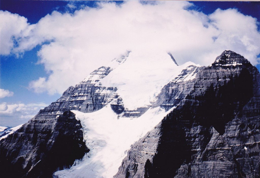
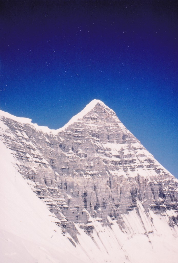
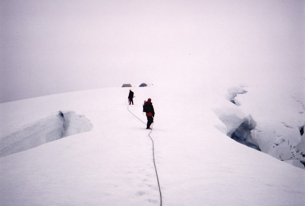
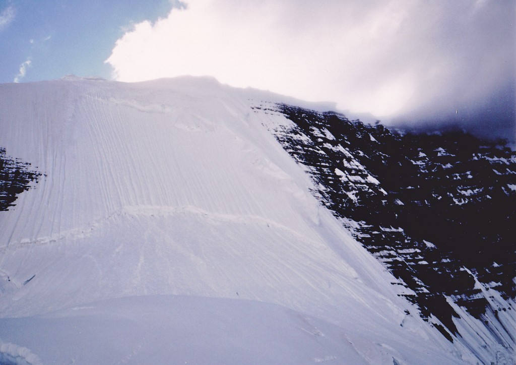
Robson is called the Monarch of the Canadian Rockies, and for good reason. Not only is it the highest Canadian peak in the range, at 12,997 feet, but it is a world-class challenge. It is the 119th-most-prominent summit on planet Earth. Even its easiest route is very challenging and dangerous. In fact, “easy” is something of a misnomer. It repels so many challengers that, back in the day, it once went 12 years without an ascent. Climbers arrive from all over the world to worship at its faces, and most go home empty-handed. Nobody ever “conquers” a peak – I hate that term. With the right combination of skill, daring and luck, you might summit a mountain like Robson, and if you do, count your blessings. Here’s a shot of the upper 4,000 feet of the easiest route up the mountain. What you cannot see is the lower 5,000 feet of climbing, much of it on Class 4 rock. Definitely the land of large cojones. Robson has been nicknamed “the Great White Fright” for a good reason.
Brian and Scott, both from Toronto, and I had been in the area before and had contemplated trying the mountain by the normal route, which is the South Face. Some of that route is shown in the above photo. We never quite got started. More time passed and we finally decided our time had arrived, so we hatched a plan.
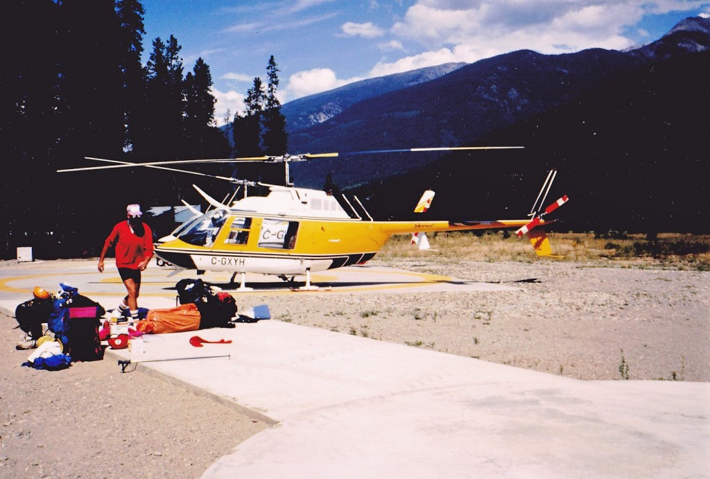
Day 1. On August 10, 1989 I caught a passenger train near Vancouver and rode through the night. With nary a wink of sleep, I disembarked at 8:00 am the next morning at the small town of Valemount, BC. From the station, I hitched a ride to the post office, our agreed-upon meeting place. There, I met up with Scott and his rented car. Two hours later, the Greyhound bus dropped Brian off, and we could now get down to business. After placing a quick call to Yellowhead Helicopters, we drove over to their base. They looked us over, along with our mountain of gear, while we checked out their Bell Jet Ranger. After agreeing on a fee of $500.00 Canadian for 8/10 of an hour of flying time, we spent quite a while sorting and packing gear. The pilot decided the weather looked okay and cleared us for take-off.
So here’s the thing – we had decided to save ourselves about three days of effort by flying to the Dome, a feature on the east side of the summit. In retrospect, this would be considered the easy way out, but it is what it is and that was our decision. With the three of us and all our gear and supplies, we made a pretty good load. The pilot flew around the east side of the mountain and the views really blew our minds. He landed on a flat area of the Robson Glacier at 8,500′, where Scott and Brian got out, with some of the gear. He had decided not to try landing with all of us on the Dome, but do it in stages. So he flew up to the Dome and dropped me off with a bunch of the gear, then went back down for the guys and the rest of our stuff. Within minutes he returned, we unloaded and he took off for good.
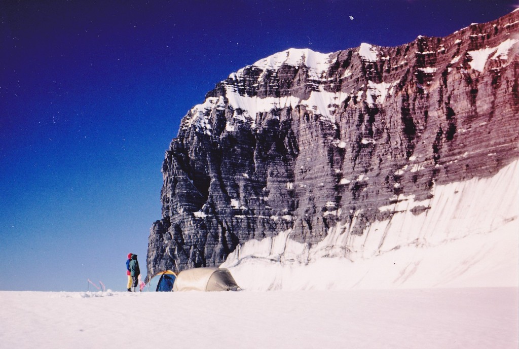
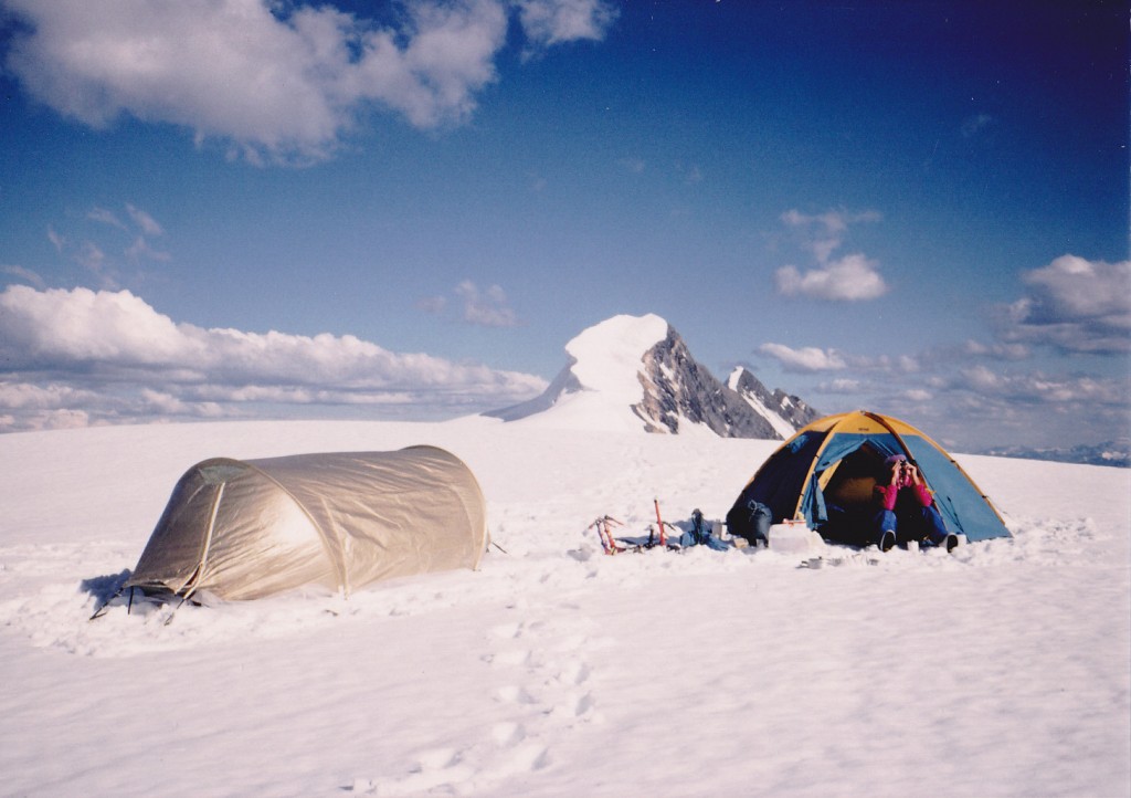
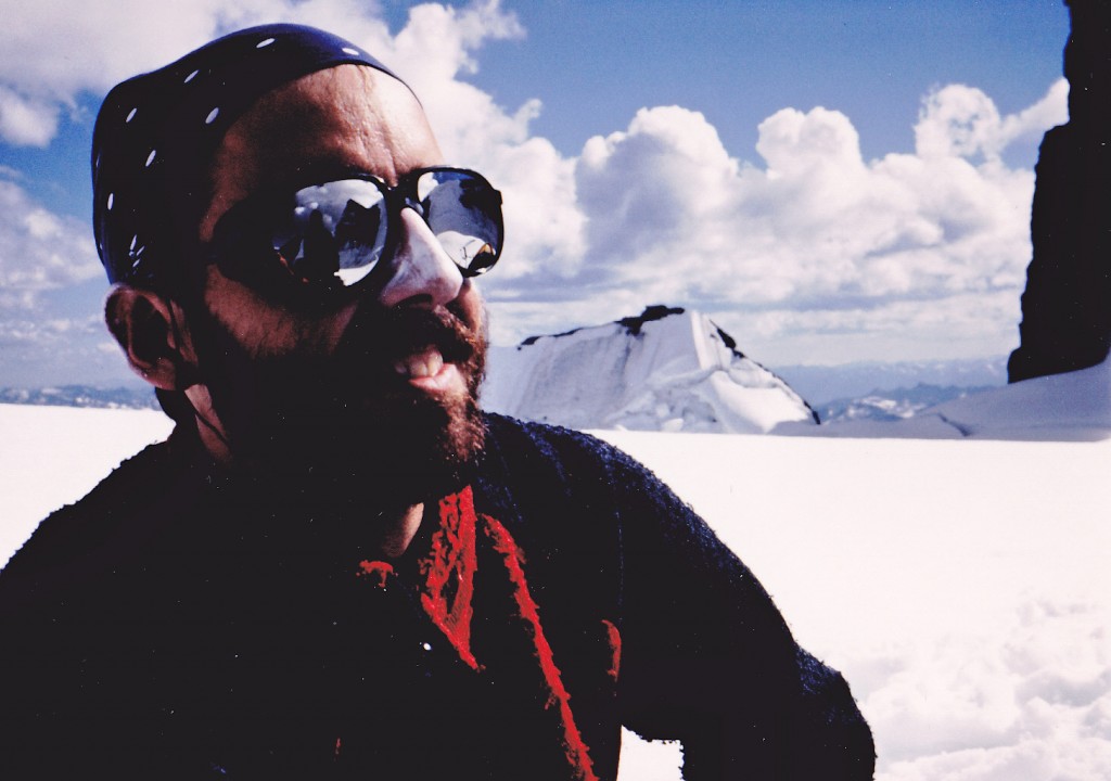
There we were, at 10,000′ in complete silence, surrounded by views to die for. Words cannot express the spectacular nature of the place, so I’ll show you a few photos instead.
The first order of business was to set up both of our tents. Mine, we would use for gear and food; Scott’s, for sleeping. That done, we prepared a hot meal and decided how we would go about climbing this thing. I remember our deliberations going something like this: because we would be climbing to 13,000 feet, and we had quickly come from sea level to the 10,000 feet of our camp, maybe we should spend the next day (Day 2) acclimating where we were, lest we get altitude sickness going for the summit too quickly. The weather was fair, and a glance ahead looked promising, so why not. Then, the following day ((Day 3) we would go for the summit. It made sense, so, pretty pleased with ourselves, we turned in for the night. Not before seeing the northern lights and a meteor shower, though.
Day 2. We slept well, and late. The day dawned crystal-clear. Not a cloud in the sky, and we were hopeful of a good ascent the following day. It was really tempting to go for the summit, but we talked ourselves out of it. The summit was plainly visible, and visions of our standing on it danced in our heads. All day, we just lazed around in the warm sunshine.
Some clouds moved in late in the evening but we were still jazzed for the next day. It was gonna be great.
Day 3. Overnight, the weather had deteriorated. By morning, there were plenty of clouds in the area, and it was discouraging. We didn’t leave early – instead, we slowly arranged our gear. The weather improved a bit, so at 9:00 am we walked out of camp and headed over to the Kain Face.
Back in 1913, the first ascent of Robson was done by this route. At the time, it was the hardest ice route that had been climbed on the North American continent. The young guide, Conrad Kain, led a small party to the summit via this face, chopping 700 steps in the ice for his clients. In fact, our intended ascent route would follow directly in the steps of Kain’s party. Another interesting fact about the mountain is that, even with today’s superior equipment and experience, less than 10% of attempts successfully reach the summit. It was all virgin territory for Kain way back then. Amazingly, they descended by the unknown south face.
It was a fairly level walk over to the bottom of the face.
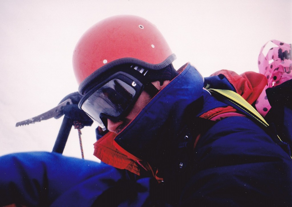
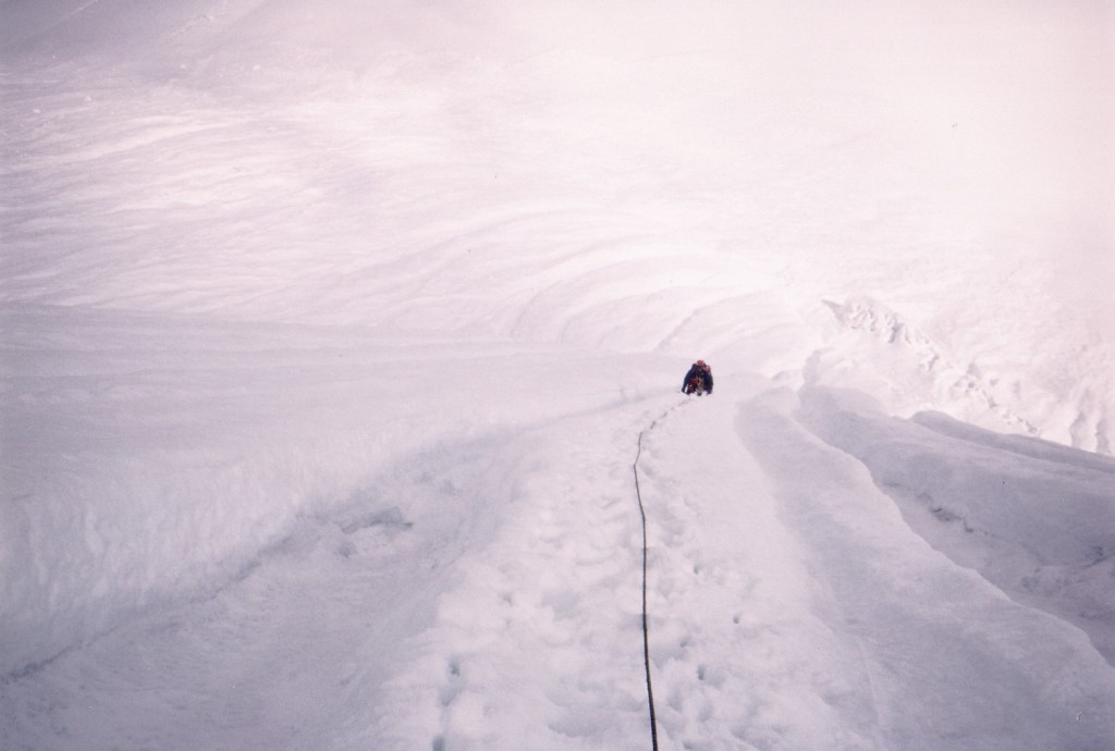
There, our first task was to cross the bergshrund, a large crevasse at the base of the face, where the moving glacier separates from the more fixed ice above. We were roped up, wearing helmets, harnesses, crampons on our boots, special ice tools in hand, and carrying an array of hardware to protect against a fall. The ice had a steepness of 80 degrees for the first 15 feet, then about 60 degrees for the next 10 feet, then it eased off a little. The face itself is about 1,000 vertical feet at an angle of 50+ degrees. To put it in perspective, the average person standing up straight with arm outstretched would just touch a 55-degree slope in front of them.
Once above the ‘schrund, we were in an ice runnel, a deep groove worn into the ice. Brian led out on a 50-meter rope, Scott and I were on the tail-end with maybe 15 feet between us. The weather was changing rapidly, sometimes sunny, then moments later we’d be in cloud. We were climbing on snow overlaying the ice. We angled up and left across two more runnels, each about 5 feet deep, then straight up.
As we climbed, the last man would place wands to mark our route. They were thin bamboo sticks, about 3 feet long, with a bright piece of pink flagging tape fastened to the end. We would push them into the snow until the ice below stopped them from going any deeper, just in case we had to descend in zero visibility. As we moved upward, it was cool, cloudy and windy. Once we were into our fifth pitch, all of sudden it started to rain, then snow pellets came down heavily. We were starting to get wet, even though we all wore Gore-tex suits. Several lightning flashes and loud claps of thunder topped it all off. There we were, 2/3 of the way up the face. It was getting nasty, so after discussing our situation, we decided to retreat.
Four inches of fresh snow had fallen during our 3-hour ascent. Belayed from above, I started down, facing in and kicking steps. The newly-fallen snow had filled in our earlier footsteps. As we went down, it was shocking to see that every one of our wands had been ripped out of the snow – how could that even happen? After 5 hours of down-climbing, we found all our wands in a pile at the bottom of the face.
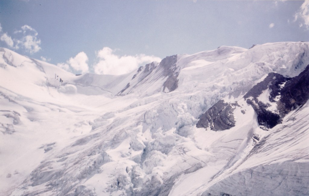
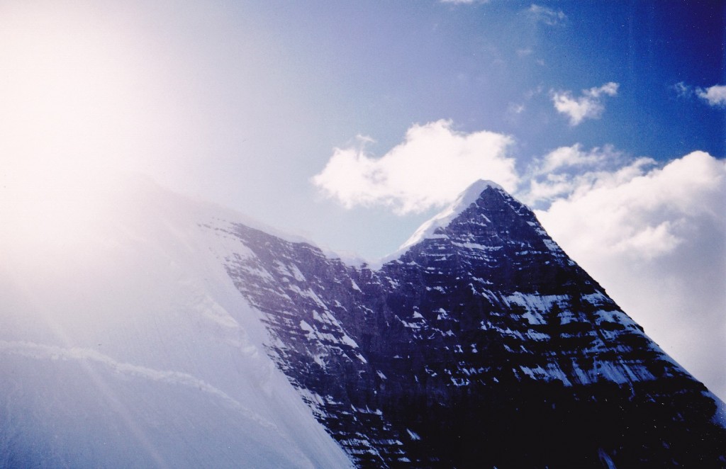
Robson had kicked our asses in round 1, but at least we were back down to camp in one piece. This next photo shows the face after we were back down, all thousand feet of it.
Our route angled up and over near the rock seen on the left. Naturally, the face was clear when this shot was taken. It was amazing to see how quickly the weather could change on the mountain. It was 39 degrees F. when we had our supper. Already, we were planning our next attempt on the face. No trouble sleeping that night. Stay tuned.
To be continued……………………………………………
Please visit our Facebook page at https://www.facebook.com/pages/Desert-Mountaineer/192730747542690

