One February morning, I drove to an area about two miles north of Ventana Pass on the Tohono O’odham Indian Reservation. I parked right beside the road, as there was no other possible parking spot for these climbs. As I was getting my pack ready, a van drove up and parked behind me. An O’odham lady rolled down her window and asked me if I needed any help. I thanked her for her concern and told her that all was well. I showed her my permit, explained that I was climbing and needed to park there. She said that she worked for the Tohono O’odham Health Service. In fact, she and several others worked around the clock shuttling patients from the reservation to hospitals in the region for routine treatments such as kidney dialysis. On this particular day, she was scheduled to pick up patients living in the nearby village of Kaka and take them to Casa Grande. She also told me that they were building a big new clinic at San Simón to serve the west end of their nation. She soon left, as it was almost time for her pickup a few miles to the north. And I had three peaks to climb. It was 7:20 a.m.
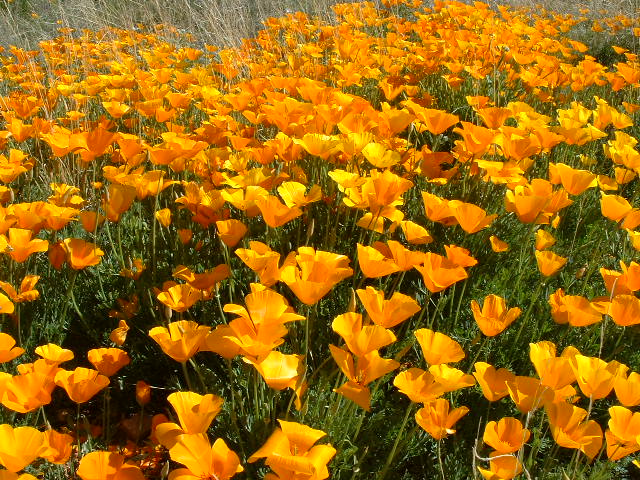
I headed east up a gently-sloped valley for about a kilometer. It was cool and very pleasant. I noticed quite a few wild flowers blooming. They said the winter rains had been just right for a bumper crop of flowers that spring.
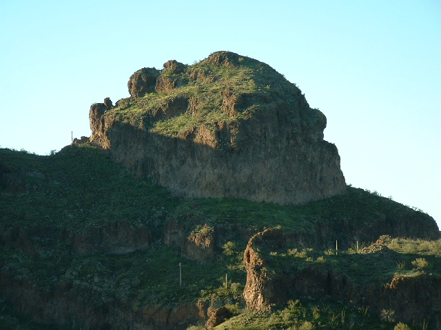
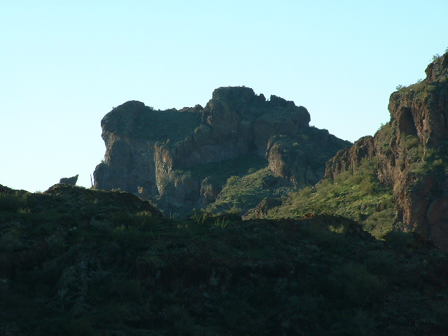
I contoured up a slope to a ridge a few hundred feet above the valley floor, and then followed the ridge, passing over a few intervening bumps until I became seriously cliffed out. I could have rappelled down, but I still don’t much like the idea of rappelling when it might be fairly painless to just backtrack and go around. Besides, carrying even a thin static line would add a few more pounds to my already overly-heavy day pack. I had to drop about 250 feet to bypass the cliffs, but once I had done that it didn’t take too long to gain a different ridge and gain my first summit, Peak 2970. There was no sign of any previous visit, so I built a cairn and left a register. From the top, I had a good view of the north side of Peak 3055, climbed by Andy Bates and me the previous June. It was a roped climb.
Another good view was one of Peak 3057. Andy also led this one, a Class 5.7 climb.
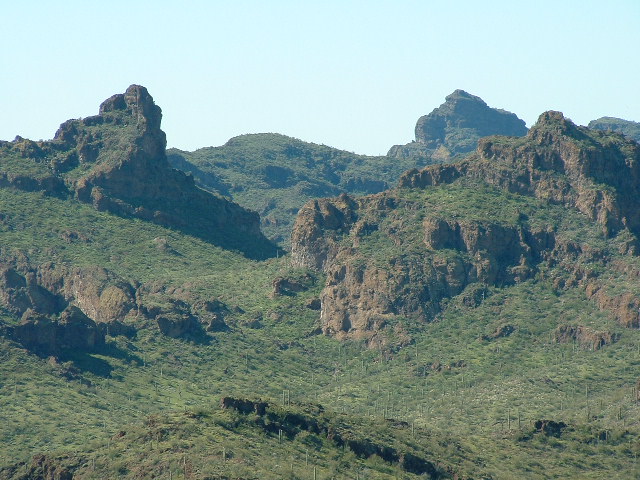
I had to descend a different ridge to continue on to my next objective. it was one of those situations where, as you descend, the terrain is steep enough that you cannot quite see over the brow of what is below you. So, it is hard to get a good idea of the route for any distance ahead. I came to several cliff bands which wrapped around the nose of the ridge for quite a long way. I didn’t want to spend all day looking for the easiest way around each cliff, so on the two worst ones, I down-climbed them facing inwards. It is exhilarating doing this when you are reaching for the next unseen hold. The first cliff band was about 30 feet high and Class 4. The second was 15 feet of stiff Class 3. Once down, it was a walk in the park through some beautiful meadowy terrain. I found only one sensible way up the very steep southeast side of my next summit, and after a zigzag path up through more cliff bands I reached the top of Peak 2910. I left another cairn and register.
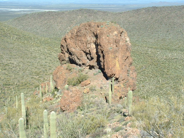
Nearby was a pinnacle on the northwest ridge which was almost as high, but fortunately not quite. I had looked at it from afar for a couple of years, hoping that it was lower than the true summit, and thankfully it was lower. It was overhanging and would have been another technical climb that I would have been forced to do if it were the true summit.
 I started down and hadn’t descended more than 50 vertical feet when I stopped short. Hearing the tell-tale hum of bees, I looked around and realized that I was standing right in the flight path of a hive of wild bees. They were actually flying right between my legs! Had they been the Africanized (“killer”) bees, I would have been attacked and stung almost immediately, but these didn’t seem to care about my presence. Nevertheless, I didn’t want to aggravate them, so I backtracked uphill for about 20 feet and then gave them a wide berth on my descent.
I dropped along the west ridge to a saddle and then climbed the southeast side of Peak 2915, my final objective for the day. I left another cairn and register. I descended this one by its west ridge and crossed flat desert terrain for two miles until I reached the paved road. From there, it was less than a mile to my truck to the south. The whole trip on foot had only taken five hours. The Castle Mountains are one of my favorite Arizona ranges, worthy of repeated visits.
Please visit our Facebook page at: https://www.facebook.com/pages/Desert-Mountaineer/192730747542690

