As our Day 7 was winding down, we found ourselves packing up all our gear late in the afternoon. We had only spent one night in Camp Four, and were now walking away from it. 4:00 PM found us heading east out of our valley, then swinging around to the north out on the desert floor. Our loads were noticeably lighter – I was now carrying about 6 quarts of water, that was all. The total weight of my pack was all the way down to about 52 pounds, a pittance compared to the 100 at the start of Day 4. The lighter loads actually put a spring in our step as we continued.
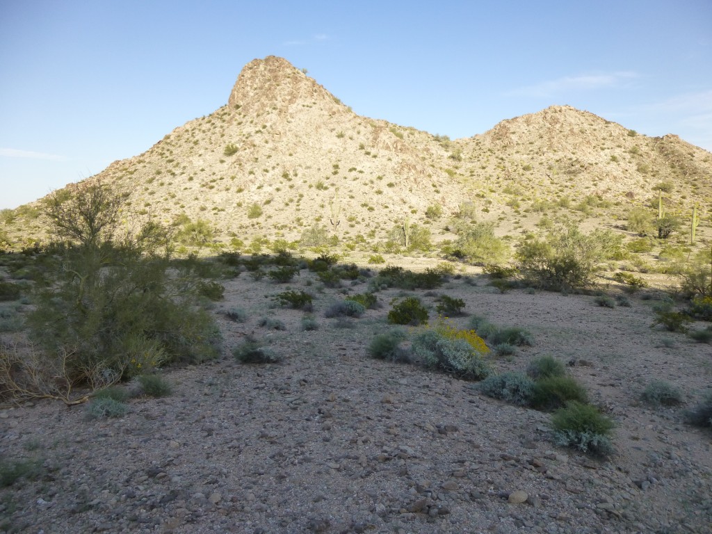
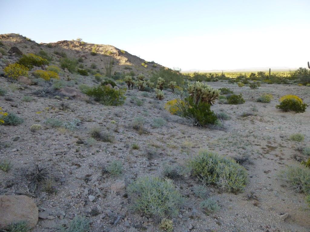
It was a beautiful evening, we still had plenty of daylight, and finally we were in a position to enjoy the beauty of the Sonoran desert all around us. About 1.7 miles into our evening march, we came to a spot where the main body of the Granite Mountains came down to the east to the desert floor. A group of hills sits slightly apart from that, and we walked through the gap that separates them.
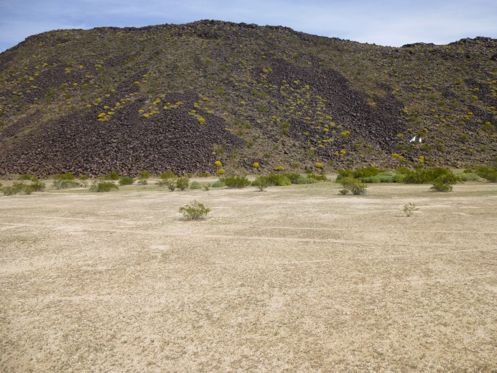
The sun was setting behind the mountains, giving us some welcome shade in which to walk. We kept up a good pace, stopping only once or twice. By 6:15 PM, we had gone as far as we had hoped when we dropped our packs, about 4 1/2 miles. Our Camp Five was in a very open spot, gently sloping towards the east. At first we had some concern that our position was so visible, but then realized that we hadn’t seen anyone for a week. We might as well have been on the back side of the moon. It had been one helluva day – our best climbing yet, plus almost five miles with full packs. We were right where we wanted to be, and twelve hours ahead of schedule. Water was running low, though. In the next photo, our campsite was on the flat area at the right-hand base of the small hill. We felt pretty good as we settled in for the night. As usual, we cooked some food and relaxed. As usual, there was not much sitting around and chatting because, as usual, we were dead tired.
Day 8: we arose at 5:00 AM and got ready in the dark. There was one big peak left to climb, and we had to finish it early. We were running out of water, but still had a total of three peaks to climb today, or we were in trouble. There was a fifty-foot-deep gully right beside our camp, and we’d decided to get down into it and follow it west as far as we could by headlamp. It had steep rocky walls, and it felt a little eerie walking it in the darkness. A full mile later, with first light, we exited the gully and started up a steep canyon.
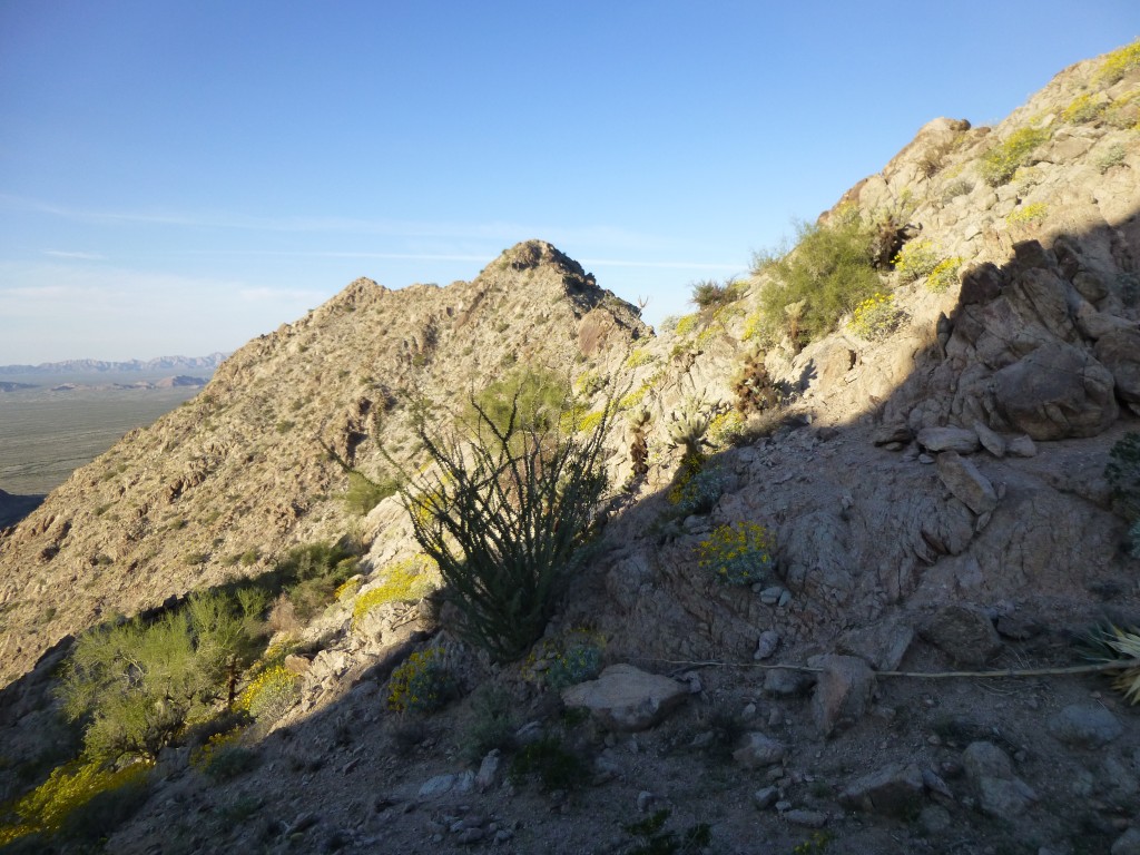
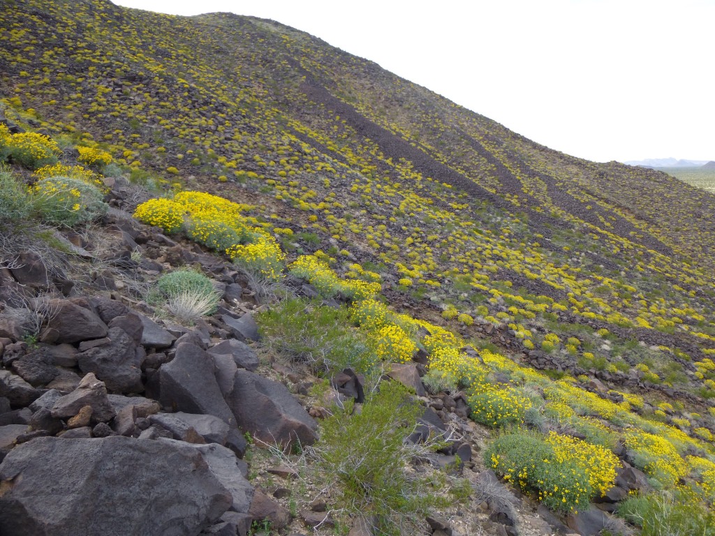
Although this was a big peak, we were carrying less water than usual, about two quarts each, trying to ration what we had left. Once at the top of the gully, we had our first good look at our summit. To get to Peak 2241, we’d have to contour across some steep slopes.
It all worked out just fine, and by 8:35 we stood on top. Hard to believe, but it had taken a full 2 1/2 hours to climb this thing from camp. I think we were a bit dehydrated, and it was starting to show in our performance. This was one peak where we expected to find a register, and we weren’t disappointed. Gordon MacLeod and Barbara Lilley had been there 25 years earlier, back when access from the west was much better, but nobody else in the interim. Our last big peak of the trip, and we sat and enjoyed the view for a while. Here is a video taken from the top of the peak.
All good things must end, as did our stay on Peak 2241. We made our way back down, being especially careful in the steep canyon, and reached our camp in good spirits. By the time we packed up and left, it was just after eleven o’clock. East we went for a mile, then hid our packs in a sandy wash. What we then had to do was head north across the flat desert to our most northerly peak. The travel was quick with just day packs, and even though it was noon, it felt hot. It was only about 70 degrees, but we were now definitely dehydrated and really feeling hotter than we normally would have, had we been drinking enough.
Peak 1141 rose abruptly from the desert floor, and we went straight up its south side. An hour after stashing our packs in the wash, we stood on top.
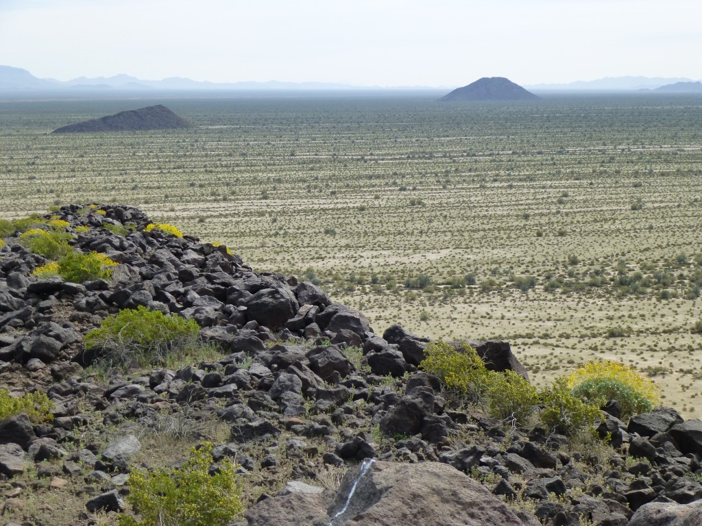
The breeze on top felt good. We didn’t linger, though, as a long day still lay ahead of us. We could look south for many miles and see the route ahead. This next photo shows Point 982, the black sloping bump on the left out on the desert floor, and way out in the distance is Tony Benchmark on the right. Tony was our next and last peak, but it was so bloody far away, it made me tired just looking at it.
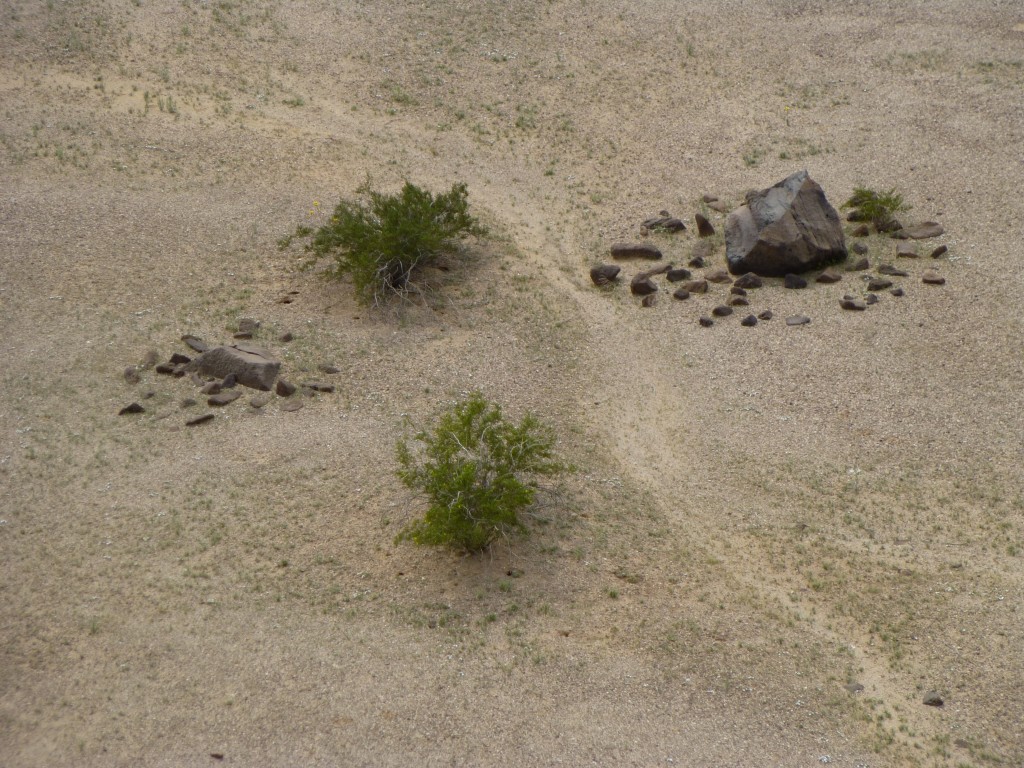
As we dropped down Peak 1141, something odd caught my eye at its base. A big rock, maybe five feet across, was surrounded by rings of smaller rocks. This had to be man-made, but was it recent or ancient?
It took us half an hour to walk back to our packs hidden in the wash. Once there, we did a final sorting of our gear, then set out south. Our loads were the lightest of the entire trip, but still heavy enough that it wasn’t a cake-walk. The trek to Tony wasn’t trivial, and our feet were really sore by the time we got there. At 4:15 PM, we dropped our packs one last time and headed up the east side of Tony – at least the 500-foot climb was on the shady side of the mountain.
Tony Benchmark, at 1,333′ elevation, was our last climb of the trip. Mark had run out of water as we approached Tony from the north. I suggested that, if he wished, I could climb it while he waited for me at the bottom. He insisted on climbing it with me, even though he had climbed it years before – I was glad to have his company.
A surprising number had signed into the register in previous years, and we added our John Hancock. It had become overcast, and we still had a breeze to cool us off. By the time we made it back down to our packs, it was already 5:30. All our water was gone, not a drop remained. At the start of the trip, we had hidden water deep in the Growler Valley in case of emergency. Well, it was 9-1-1 time, and we needed it desperately.
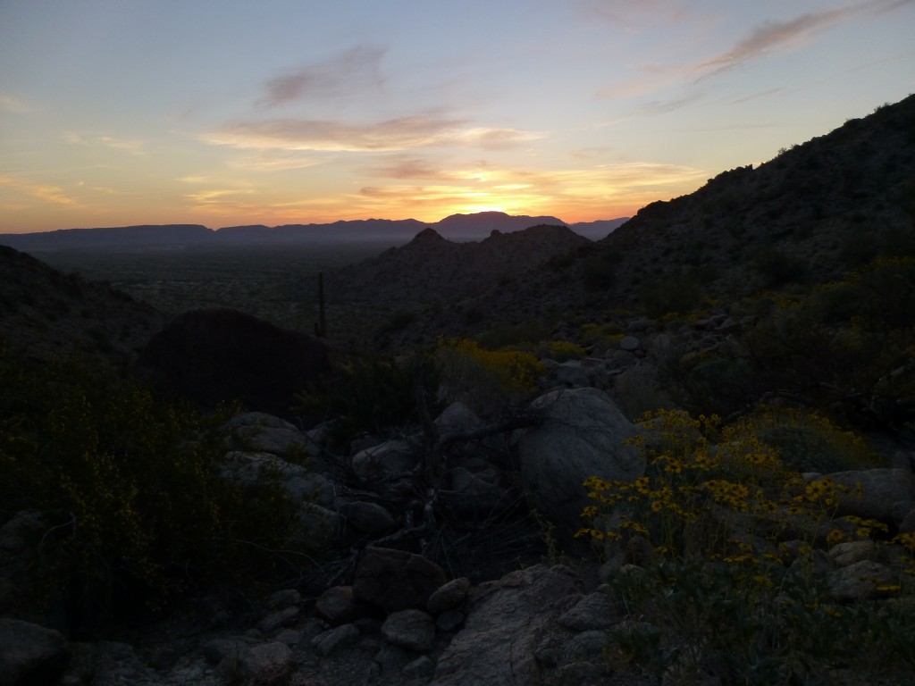
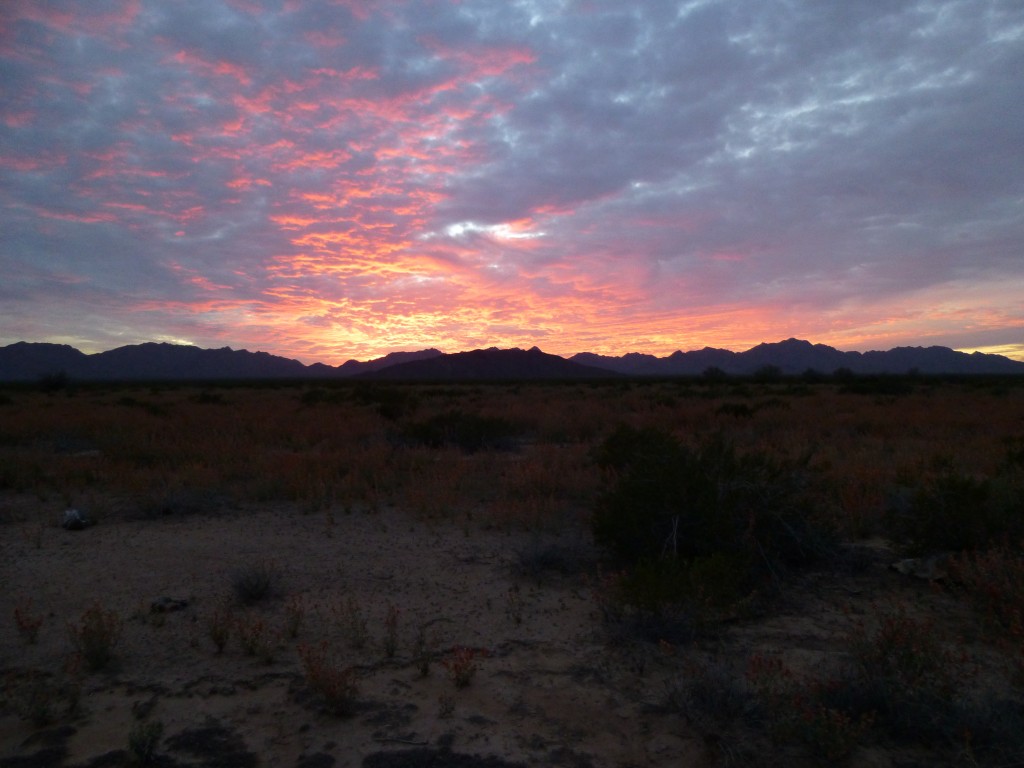
As darkness fell, we looked back on the sunset over the Granite Mountains, our last one of the trip.
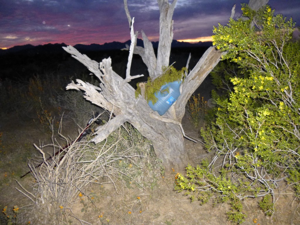
We lost the light completely, and there we stood in complete darkness in the vastness of the Growler Valley. Hundreds had died there over the years from having run out of water, and we had no intention of joining their ranks. We had hidden three gallons of water in a tree – now, we prayed that it was still there. Smugglers may have found it and taken it. The Border Patrol may have found it and assumed it had been left by the bad guys and destroyed it. Animals such as coyotes may have found it.
Using the GPS and headlamps, we got closer and closer to where we had left it. Please, God, let it be there. It had to be there, as the alternative was too grim to consider. A thousand feet to go, five hundred, three hundred – was that the tree ahead illuminated by our lights? It looked like it, but was the water still there? Only when we had approached within twenty feet could we tell for sure. Yes, yes, there it was!!
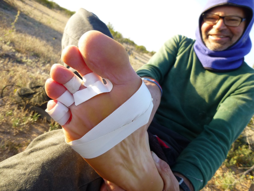
Hallelujah! We jumped up and down and hugged each other, then tossed our packs down and started pouring the water out into smaller containers and drinking our fill. It felt so good to be there. Even though there were six quarts for each of us, we realized that it wasn’t an ocean – even six quarts would only go so far. We drank a lot, then cooked a bunch of food. Mark’s feet had been hurting him a lot all day, so he took off his boots to have a look. What a mess! I felt awful when I saw what had happened. Where his toes met the main part of his foot, the skin had all been worn off and they were oozing something, I don’t know what. It looked horrible. Something had to be done, he couldn’t walk any farther with his feet like that. After discussing various options, it seemed like the best course of action was to let them get fresh air overnight and then check them again in the morning. The 16 miles we had covered today had really done a number on our feet.
It was seven o’clock when we found our water at this, our Camp Six, and by nine we had turned in. I think we had become really dehydrated on this 8th day of our trip – the easiest way of monitoring this was to check the color of our urine. When it became orange, we were on shaky ground. As I lay in my sleeping bag, I felt nauseous. For much of the night, I slept fitfully, afraid of being sick, but finally drifted off.
Day 9: it was only 35 degrees at daybreak, but it felt good to have slept in for a change. Mark spent a lot of time carefully bandaging and taping his feet, and it looked like his repairs would work.
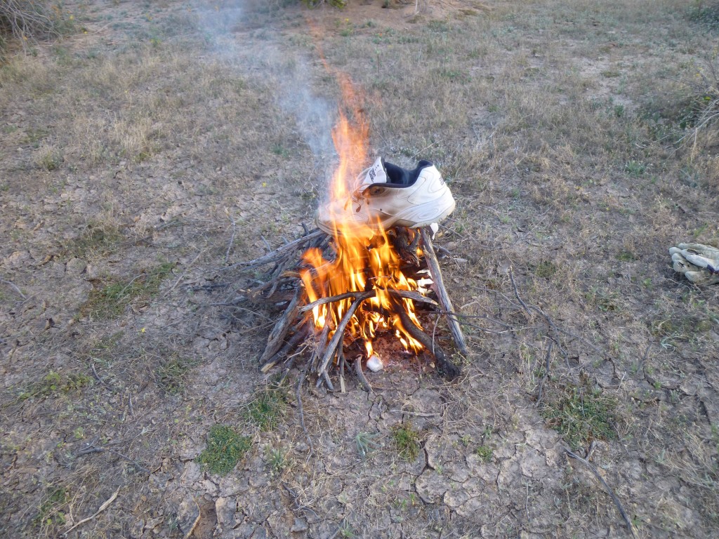
It was time to really lighten our loads, to rid ourselves of every ounce we no longer needed. It’s amazing what you can burn if your fire is hot enough. For instance, running shoes – check out this photo. When we were done, only a fine white ash remained, indistinguishable from the wood ash.
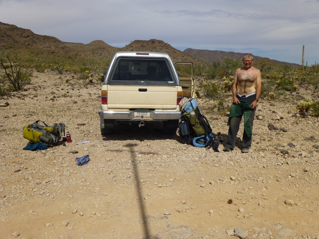
Our last day, our ninth, was bittersweet. It would all be over today, our amazing adventure, but there was still plenty of effort we needed to put out. It was late, all of 8:25 AM, by the time we walked out of that final camp, our sixth. Heading east, we walked for two miles across flat desert until we reached an old road. Another two and a half hours on the road brought us to Charlie Bell Well, a place where water was available. We were okay, though, as we still had a bit from our cache at Camp Six. The final two miles was almost all uphill, and then it was done – there we were at Charlie Bell Pass, our parking spot. Although we had climbed no mountains today, we had still walked nine miles with full packs and climbed almost 800 vertical feet. That old truck sure looked good.
Although we were somewhat the worse for wear, we had survived it. In those nine days, we had covered 87.1 miles on foot. I had climbed 18,550 vertical feet, while Mark had done just over 20,000.
I was curious about how much weight I had really carried out of Camp One. Back home, I carefully re-created my pack with every item I had with me, down to the tiniest detail. Here is what I came up with:

