These days, the latest rage among peakbaggers is something called “prominence”. Much has been written about this subject by others more knowledgeable than I, so I won’t belabor the point. Let me just offer this simple definition: Prominence is the elevation difference between the highest point of a peak and the lowest contour that encircles it and no higher summit. I never much cared about prominence, but as time passed I got dragged into the concept, kicking and screaming, whether I liked it or not.
I live in Pima County, Arizona. It had long been thought that there were a total of 60 peaks in my county with at least 1,000 feet of prominence. I put a lot of my own blood, sweat and tears into climbing all of the peaks on that list. Then, one day, Andy Martin, the very guy who gave me the list in the first place, comes along and tells me that there was, in fact, one more that needed to be included. It had somehow escaped everyone’s notice. Thanks a bunch, Andy! Now I had to go out and climb this thing, and it was way out in the middle of nowhere. I gotta tell you, this revelation was enough to piss off the Pope.
Like most peaks in Arizona, this one had no name, not even a spot elevation. It had a closed contour around its highest point which gave it an interpolated elevation, so we called it Peak 2870. There were a few other peaks near it, and I figured there’d be no point making the herculean effort needed to bag 2870 without getting the others at the same time. I toyed with the idea for months, then finally couldn’t stand it any more. Setting aside a weekend for this adventure, I took off early after work on a Friday.
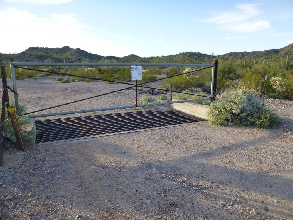
I left home at 2:00 p.m., thinking I’d make it out there fairly quickly, but by the time I’d parked to camp for the night, it was already 6:00 PM. You’d never guess where I was – right at the boundary of the Cabeza Prieta National Wildlife Refuge, at its eastern edge. I called this spot the “Chico Shunie Gate”. The rough road I’d driven to get here was blocked by a beefy metal gate, well-locked and plainly-marked – no driving beyond that point.
So, you can imagine my surprise when, shortly after dark, two Border Patrol agents drove up on quads, fiddled a bit with the lock, then asked me if I had the combination! “No, of course not” was my reply. “But If I had it, would you let me drive through?” “Well, no, we couldn’t do that”, they answered. Frustrated after a few minutes of trying the lock, they wished me well and took off.
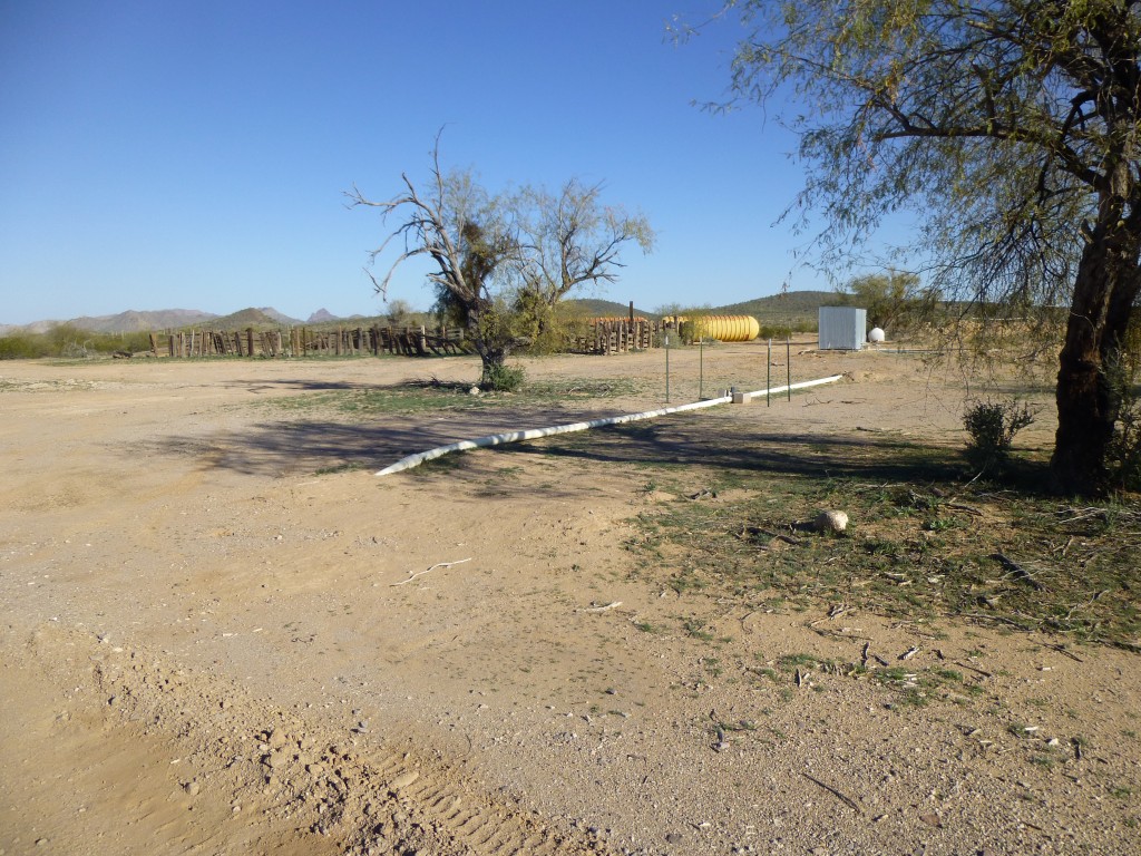
I slept in the back of my truck, for what seemed like an all-too-short period, until my bloody alarm went off in the middle of the night. Having completely readied my pack the evening before, it didn’t take long before I set out. By headlamp, all I had to do was follow the old road, all downhill, to a place called Lower Well. It was first light by the time I got there, six miles from my truck.
I then headed south on another old road for a mile and found a good spot to stash some extra water. There I stood, at an elevation of 1,500 feet. Close by, only just over a mile to the west, sat Peak 2087.
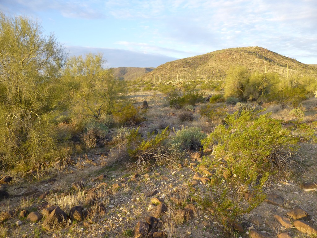
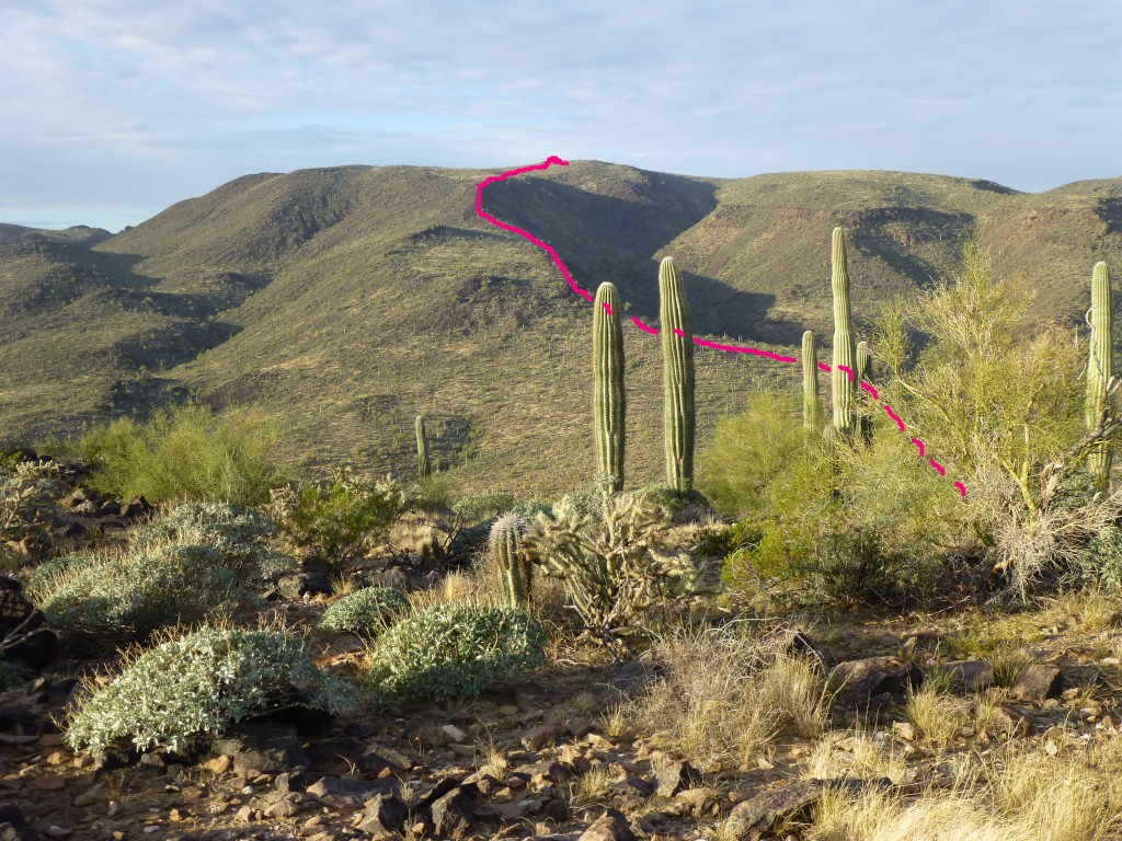
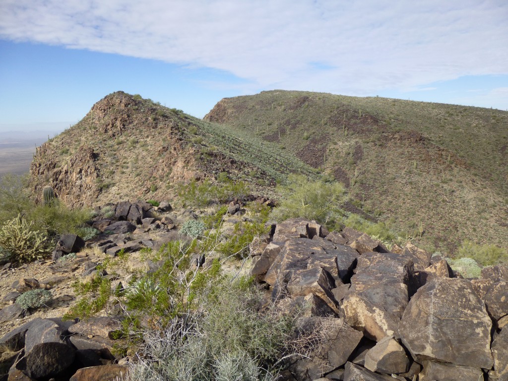
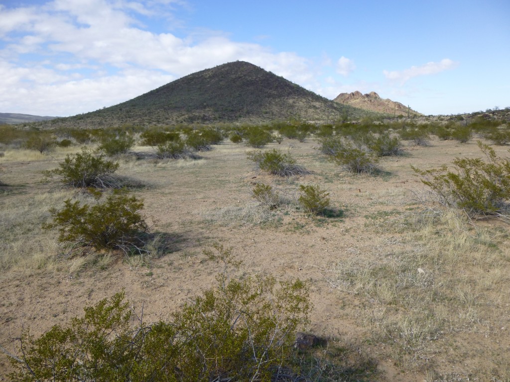
It was a straightforward amble to the summit, where I found no sign of a previous visit. As I filled out a register and built a cairn for it, I studied the next part of my route. It seemed pretty straightforward – all I had to do was follow a long easy ridge to the summit of Peak 2870, the one for which I had really come out here. This photo shows my route with a red line. Most of the upper part is not visible, as it is very fore-shortened.
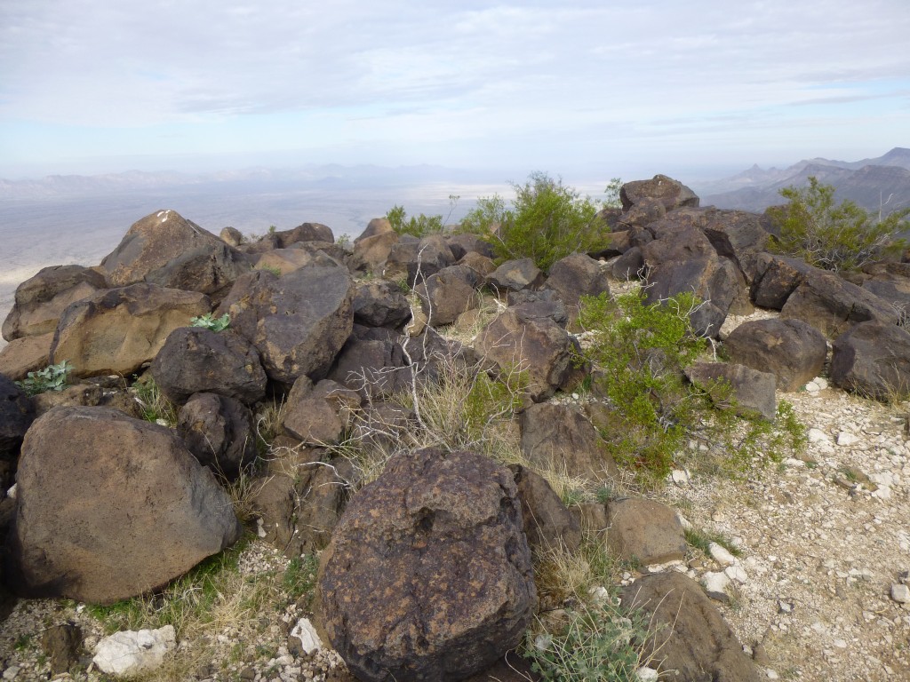
Once I had dropped to a gentle saddle, I then started the climb, heading southwest. It couldn’t have been more straightforward – the ridge was easy, there was no route-finding to speak of and I was loving every minute of it. Excited would best describe the feeling I had as I walked the last few feet to the summit. A boulder marked the obviously-highest point of the gentle summit, and I made a beeline for it. It was ten minutes past ten.
But, as I was stepping up to tag it, something froze me in my tracks. Two men, both dressed in camouflage, were sitting near the steep western edge of the summit. They were chatting in Spanish and didn’t see me. However, I knew that it was only a matter of moments before they would. I made a split-second decision, one that I hoped I wouldn’t regret.
I was about 20 feet from the men. Looking right at them, in a clear voice they couldn’t mistake, I started talking to them. Here’s what I said: “Hello Lads, good morning! I’m a climber, out here climbing a few peaks today. Four of my friends are right behind me and will be here in a few minutes. We’re then going to head farther south along the ridge to finish up our day. Good luck!” (This was all said in Spanish). I casually walked over and tagged the summit boulder. You should’ve seen the look on their faces – you’d swear they had just seen a ghost! Even as I was talking to them, one of them reached down into a backpack and pulled out…………. a two-way radio. I was so glad it wasn’t something worse. Even as he began speaking into it, he and his companion dropped off the western edge of the summit and out of sight.
I had no intention of following them to see where they were going, that’s for damn sure! Any plans of leaving a register had long since vanished as well. Turning on my heel, I said goodbye to Peak 2870 and headed quickly downslope to the south. It took me a few minutes to muster up enough courage to look back to see if anyone were following me. Nothing. I kept on going, crossing over Point 2727, then lost hundreds of feet more. Looking back, still nothing. I was starting to calm down. By telling those guys we were going to continue south, I’d hoped they’d clear the route of their people. So far, so good.
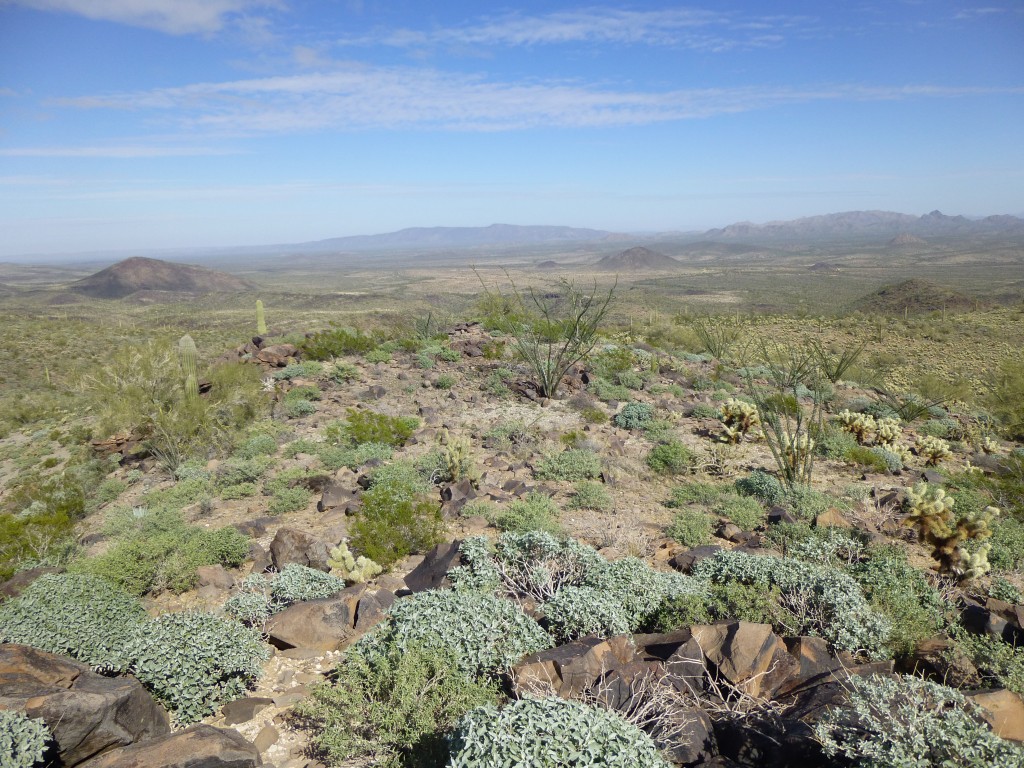
This was one messed-up ridge – it twisted and turned constantly, with large gains and losses in elevation. It took a while, but finally, at 12:30 PM, I walked on to the summit of Peak 2250. This was one remote peak, evidenced by the fact that no-one appeared to have ever been there. Having been robbed of my chance of leaving a register on 2870, I enjoyed placing one here.
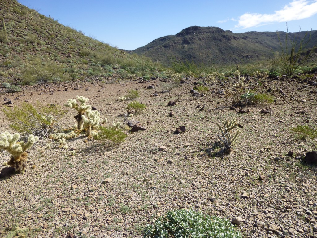
It would have been easier to leave the area by simply heading down to the northeast to gain the flatlands, but there was one more thing I wanted to do. I was very close to a named feature known as “Temporal Pass” – it’s significant enough to have an entire map quad named after it. It only took a few minutes to drop down to the pass – a pleasant enough spot, but that’s about all that could be said of it.
After a few photos, I headed down and into the wash, then followed it downstream. It was pretty good going, and before long I was walking across the flat desert. By 2:20 PM, I stood at the base of my last climb of the day, Peak 1918.
It didn’t take long to finish it off. On its summit, once again there was no sign of any prior visit, so I performed the usual chores and headed down. By 3:30 PM, I was back at the water I had stashed, eight hours and eleven miles after I had left it. It felt good to be done with that big loop I had traveled, but I wasn’t nearly done yet. There was still enough misery left to satisfy any masochist.
There was nothing for it but to keep moving. I won’t bother you with the details – let it suffice to say that the last seven miles along the road were best forgotten. Very late, and more dead than alive, I staggered up to the gate, where in the dark I could see my truck just beyond. I crawled into my sleeping bag and slept the sleep of the just. It wasn’t until the next morning that I could really appreciate the magnitude of what had been done. Another day of awesome in the Growler Mountains.
After I returned to Tucson, I spoke by phone with my friend with the Border Patrol, telling her of my run-in with those guys on the summit. She told me that they were up there for one reason, to keep an eye on the Growler Valley to the west – more specifically, the movements of Border Patrol vehicles in and out of Boundary Camp. Their job was to inform others in their group of the BP activities. She said they would never in a million years expect anyone to approach their mountaintop lookout from the opposite direction as I had done, catching them totally by surprise. She said they’d send agents up in a chopper to flush them out, ruining their whole day in the process.
Please visit our Facebook page at https://www.facebook.com/pages/Desert-Mountaineer/192730747542690

