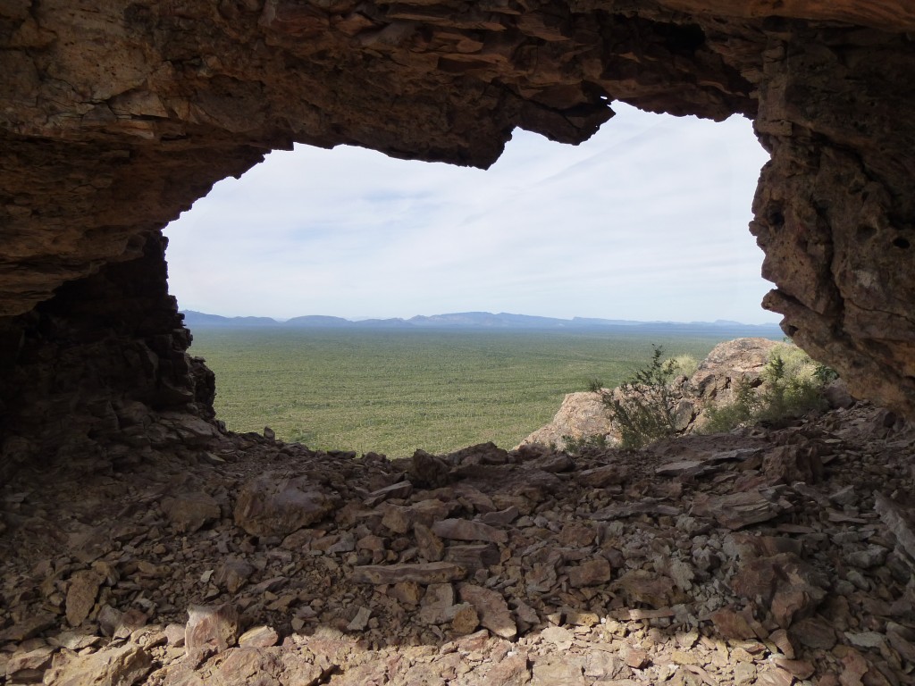
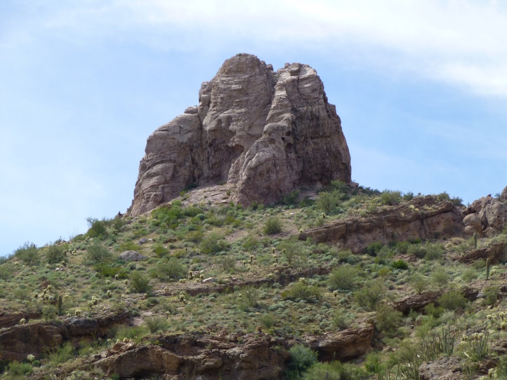
Out in the Arizona desert sits a fearsome peak know as I’itoi Mo’o, or Montezuma’s Head if you’re an English-speaker. I climbed it several years ago, with Andy Bates leading, and I’m not shy about saying that I was more afraid on it than on any other peak I’ve ever done. Many who have tried it have not succeeded in reaching its summit. We here in Arizona seem to have a love affair with the name Montezuma – Arizona’s topographic maps show a total of no less than 26 different features bearing the name, and they cover a wide range, including: airport, ranch, town, lake, mine, tank, school, reservoir, canal, cliff, park, pass, valley and well. On top of all of those, there are seven different mountains that bear the name in some form or another: Montezuma Sleeping; Montezuma’s Chair; Montezuma Peak (2); Montezuma Head (2) and Montezuma’s Head.
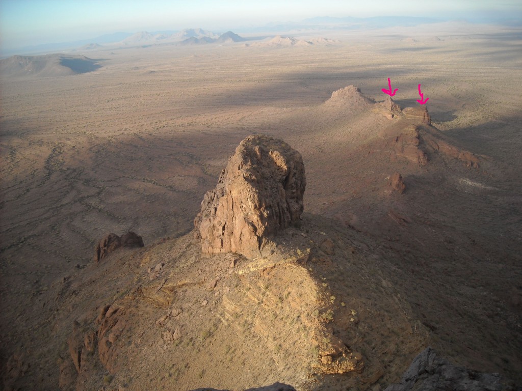
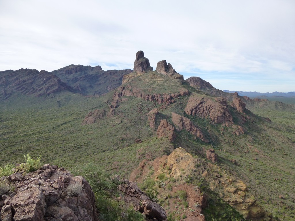
What I want to talk about today are the two smaller peaks just north of it. They don’t have names, although the Border Patrol refers to them as “The Battleship”, probably because they’re all spires and towers – seeing them from almost any angle could certainly conjure up that image. I thought that, since Montezuma’s Head looks so steeply down on them, why not refer to them as Montezuma’s Feet. Here’s a view looking north down on them from the top of the Head. They’re about a mile away and a thousand feet lower. See the two red arrows? The large tower in the near part of the photo is an outlier of the Head, whereas the feet are, as you can see, farther away.
John Klein and I camped on a Friday night out on a quiet patch of desert, serenaded by coyotes and wild burros. Early the next morning, we ditched my truck and rode in his to a remote area on the northern boundary of Organ Pipe Cactus National Monument. I had alerted the Border Patrol to where we’d be for the day, so if we tripped any of their remote sensors they’d know that it was not Bad Buys but climbers. They appreciated the heads-up.
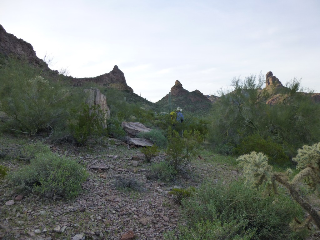
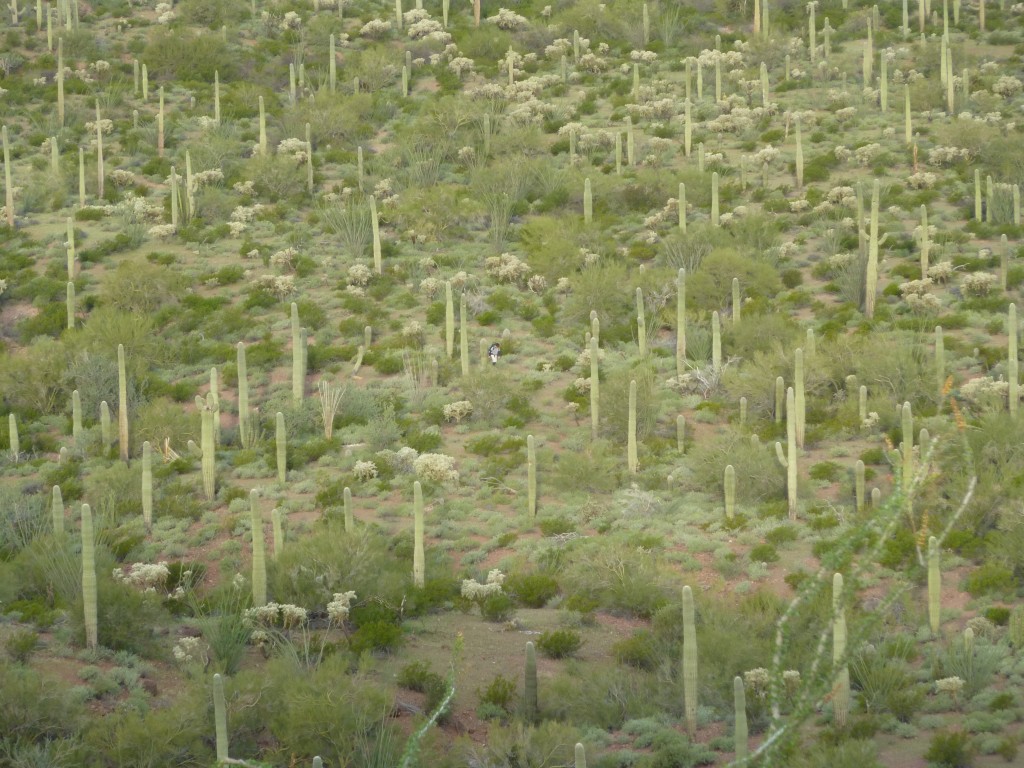
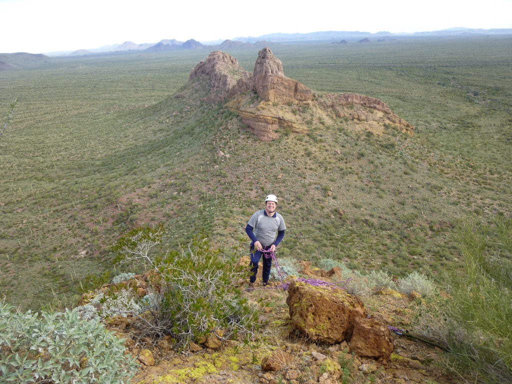
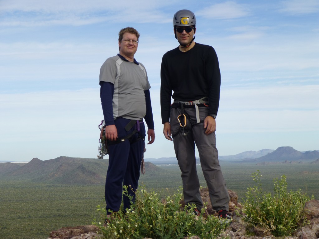
We set out at first light and, an hour later, stood in the saddle between the two peaks. The photo above shows the Feet in the center with the Head on the right behind the bushes. Andy Bates had agreed to meet us there at 8:00 AM and was right on time. He’d taken a much longer approach from the west, starting on foot an hour before we had, so he’d already burned up a lot more energy than John and I by the time we met. Here he is approaching us from the west – he’s the tiny white dot in the center of the photo – zoom way in and you’ll see him.
All we knew about these peaks was what our friend Bob Packard had told us. In 2000, he and three friends had gone in to try them both. He said the lower northern one was Class 4 – they’d roped up and done the first ascent on December 5th. The higher peak to the south had skunked them – he said that “if they’d had a ladder”, they probably could have done it.
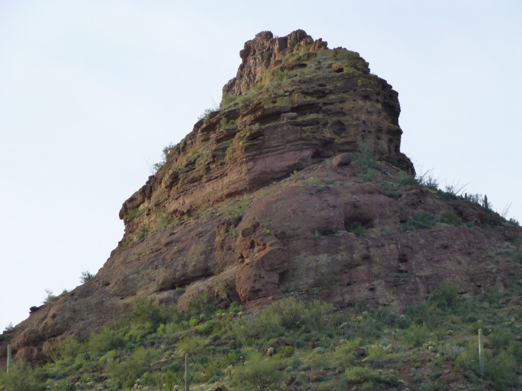
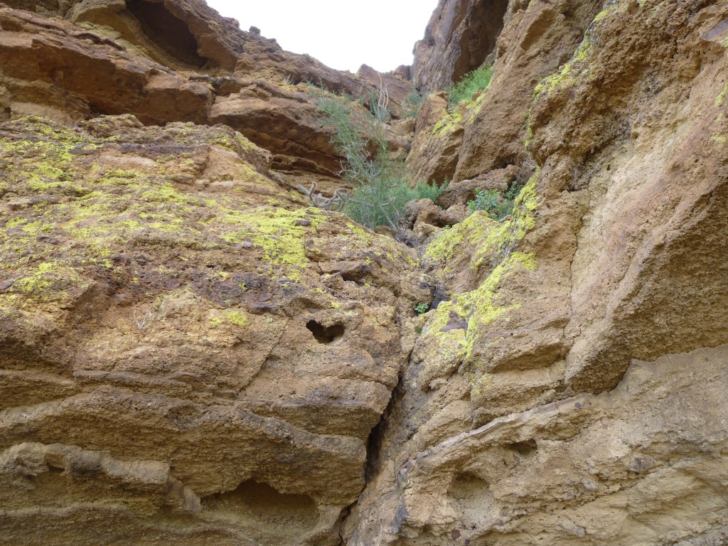
We decided to try the ladder peak first, as it sounded like the harder of the two. John scrambled up from the saddle, circumnavigated the summit block, and shouted down to us that he’d found what looked like the only possible line. Our route went up the right-hand skyline in the photo below.
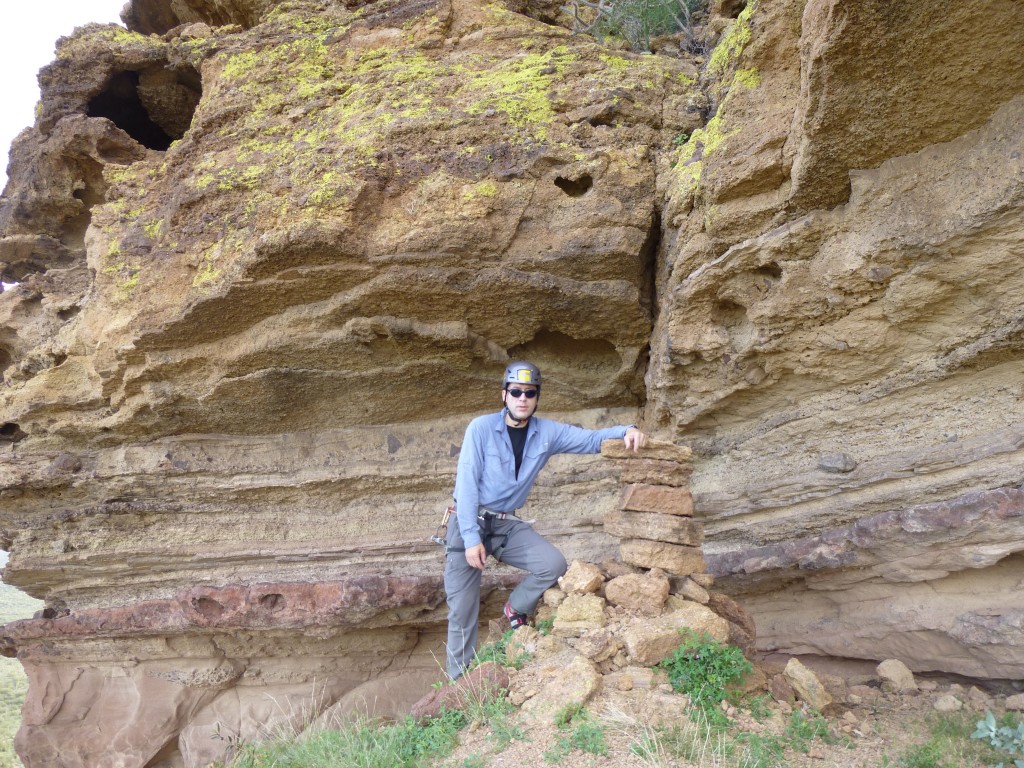
By the time we’d reached him, imagine our surprise when we saw this – a stack of rocks, four feet tall, which must’ve been left by Bob’s party.
We tried standing on it – a bit wobbly, but serviceable. It was easy to see why they’d failed – the first twelve feet was overhanging. Andy tested the start, a lot of loose rock. We put on harness and helmet, and got set to give it a go. Andy went first, nimbly dispatching the overhang. He continued up, making it look easy. Fifty feet up, he called down to say he’d found a Palo Verde as a good anchor to bring us up. Before long, he’d set up a good belay anchor and said to climb when ready.
I wanted to go next – I felt that with tension from above, and John below me to boost my sorry ass up if needed, was my best chance. I was wearing hiking boots, Andy and John both wore rock shoes. It went about as I’d expected. As I pulled up past the top of the overhang, John pushed up on my right foot to help out. It wasn’t pretty – I was all knees and elbows on the rock, about the worst style imaginable. I didn’t care, I’m not proud – I just wanted to get up the damn thing. The rest of the pitch went well – a couple more bits of low Class 5 on good holds and I was up by Andy. John finessed the overhang and was soon with us.
We left the rope there, hoping we wouldn’t need it for the rest of the climb which was hidden from view. We stayed on the west side of the summit ridge – some Class 3 and enough exposure to make you pay attention.
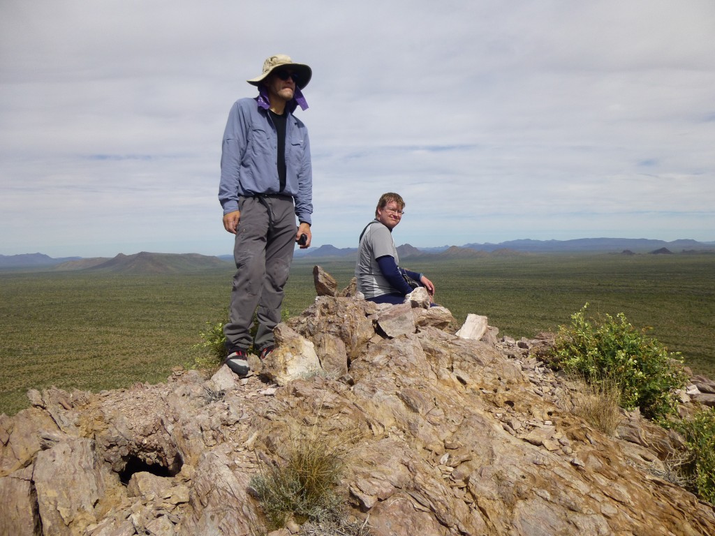
At 9:40 AM, we stood on the virgin summit of Peak 2725, a well-earned first ascent. John did the honors with cairn and register.
Here’s a shot of Montezuma’s Head to the south.
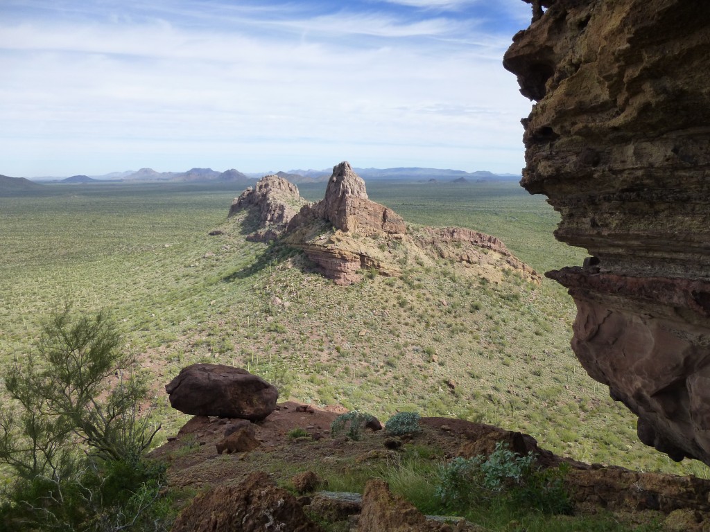
After the requisite hero shots, we started down. Back at the rope, we rappelled and soon stood at the base of the pitch. From there, we had this view of the other Foot, to the north.
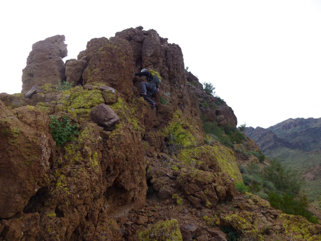
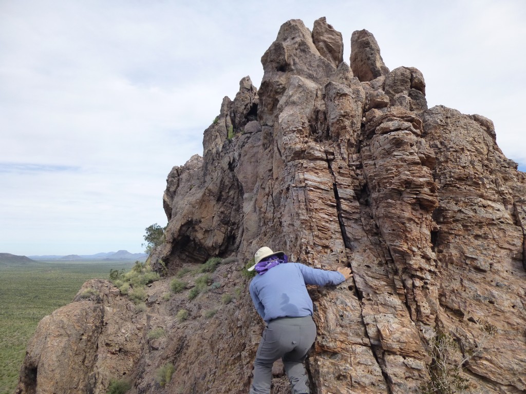
We dropped down to the saddle. From there, we couldn’t see a route up the second peak. Bob Packard said they’d used a rope for protection, so we brought ours along. John had disappeared – Andy and I climbed up on to the east flank and then spotted him higher up. He called down to say that he was sure he was on the only possible route, and he kept saying something about exposure. He’d found a good route up the steep rock, and waited for Andy and me to join him on the ridge. Yikes! Exposure was an understatement, and it certainly was an exhilarating spot. A sharp intake of breath was an à propos reaction.
What next? John did a bold move, left and out around a bulge on to a thin ledge, with over a hundred feet of sheer drop below him.
He disappeared from view, only to re-appear 50 feet ahead on a ramp, in the above photo seen farther away to his left. He said it looked do-able from there, but best to be done roped. He came all the way back to me and Andy and we had a bit of a parley. Andy set out to explore. Away he went, left on to the ledge, then crawled through a really neat keyhole. Several minutes later, we saw him re-appear high up, where he shouted he’d made it to the top.
I followed John through the keyhole, which put us on the east side of the summit ridge.
A clever route opened up, bit by bit – there was really only one set of moves that worked. Kudos to Andy for figuring it out. The exposure was hair-raising, even for me with my bald head. It worked – we soon joined Andy on the summit of Peak 2602. Gadzooks! We had developed a healthy respect for the 2000 first ascent party. Good job, Andy and John, for unlocking the puzzle.
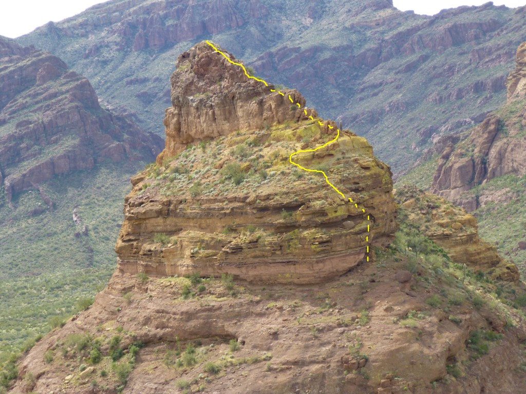
From the top, here’s a view we had back to the other peak – our route is shown in yellow, the dashed line indicates parts of the route that are hidden from view.
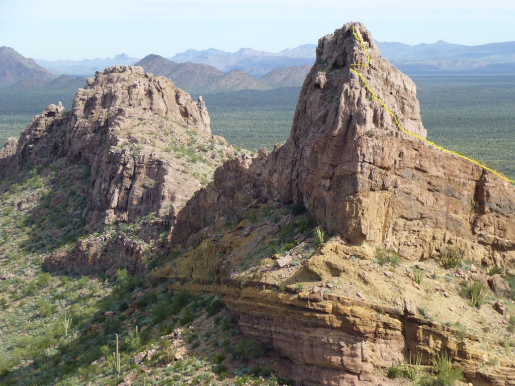
A few photos later, we bugged out – I for one wanted to get down off the thing on to easier ground. The climb was a solid Class 4 for sure. Here is a photo where the yellow line shows our climbing route on Peak 2602 – the dashed horizontal line near the top shows where we went through the keyhole to get on to the east side. Zoom in to see the line better.
Once back on the east flank, we said goodbye to Andy – he then headed west across the desert the way he had come. As John and I descended to the desert floor, we had this look back to the southwest to Peak 2602, but our climbing route is hidden from view, on the other side.
We headed north and were back at his truck an hour later. He dropped me at mine in the village of Why, then headed back to Tucson. Heading 20 miles north, I climbed one more on the bombing range, then camped for the night. As I write this, I’m sore – it feels like somebody worked me over with a lead pipe.
Please visit our Facebook page at: https://www.facebook.com/pages/Desert-Mountaineer/192730747542690

