The evening news said it was gonna be one for the record books, a winter storm that was gonna make us desert-dwellers cry “Uncle!” California was getting hammered with unprecedented amounts of rainfall, and the monster was going to roll right into Arizona and lay waste to our normally-parched desert. So they said. This would make any sensible climber stay home, hunker down with a rum toddy and wait it out. But I went climbing. It was sunny when I left home, but as I drove west the clouds thickened and, three hours later, I was parked for the night with a high, solid overcast. Still, I wasn’t worried.
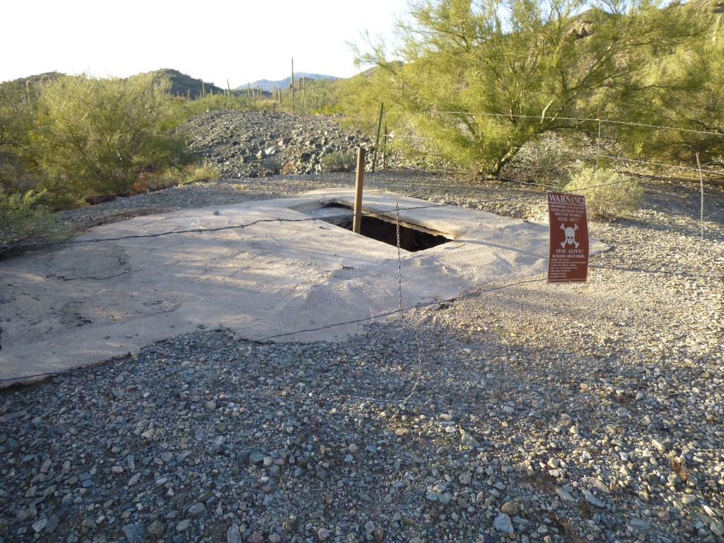
The map showed some kind of old mine diggings and, sure enough, there they were at the end of the four-wheel-drive road I’d driven – piles of black waste rock and a very scary vertical shaft which had been mostly covered with a concrete cap with a hole in the center.
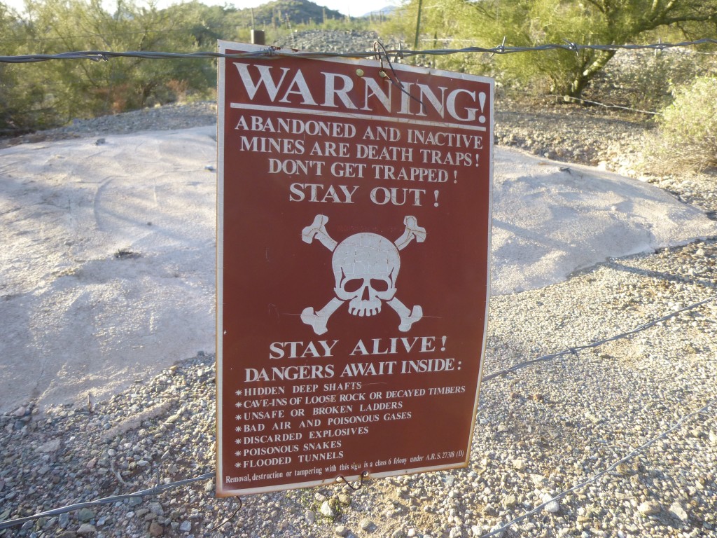
My headlamp couldn’t pierce the depths far enough to show the bottom. One of a hundred thousand such abandoned diggings in the state, this one had an encircling fence and an ominous sign warning all to stay away. I dropped a rock into the hole and heard it clatter against the walls for way too long. God, what an awful fate, to fall into such a death-trap. It’s happened plenty of times before here in Arizona, and I was not going to become the latest statistic, curious as I was. I even moved my truck to be farther from the shaft – it gave me the creeps.
Still no sign of rain, although the wind had picked up. A few rays of light broke through as the setting sun found a gap in the clouds, then darkness fell. Sitting in the cab of my truck, I listened to my favorite tunes and read a good book, holding off bedtime as long as I could. You never notice how long the winter nights are until you’re camping out. One last chore before turning in – I moved my gear around so that it’d stay dry in case it did rain. I was still pooh-poohing the idea, but hey, no harm in being ready just in case, right?
I crawled into the back of my truck and read myself to sleep. At around midnight, I was awakened by something – it was rain, hitting the roof of the camper shell over my head. It was fairly steady, even heavy at times, but by about three or so it stopped for good. I didn’t crawl out of my sleeping bag until around 7:00 AM. Monster storm, my ass!
At first light, I could see scattered clouds but with plenty of breaks – it was clearing, and going to be a nice day. My luck had held. One of the reasons I had come to the Sand Tank Mountains this time was to check out an area where a friend and I would soon do a five-day stealth backpacking trip to bag a bunch of peaks. Our starting point was to be right along a corridor used by smugglers of every stripe. Even though I’d been there once before, I drove down to where we’d begin. Yep, plenty of fresh tire tracks and footprints alright, about what I expected. After walking the area and marking details on my maps and satellite photos, I left, knowing we’d have quite the adventure when we returned in two weeks.
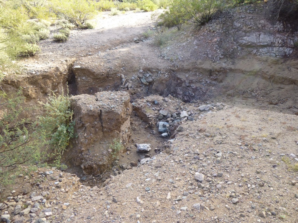
Driving back to the rough track that runs between the old Papago Indian Chief Mine and Johnson Well, I headed east. There were two peaks I wanted to climb. As I was motoring east on the fairly decent road, I topped a rise and slammed on the brakes. The road ahead of me had vanished – a steep, rough gully had replaced it, yawning across the road like a fresh wound.
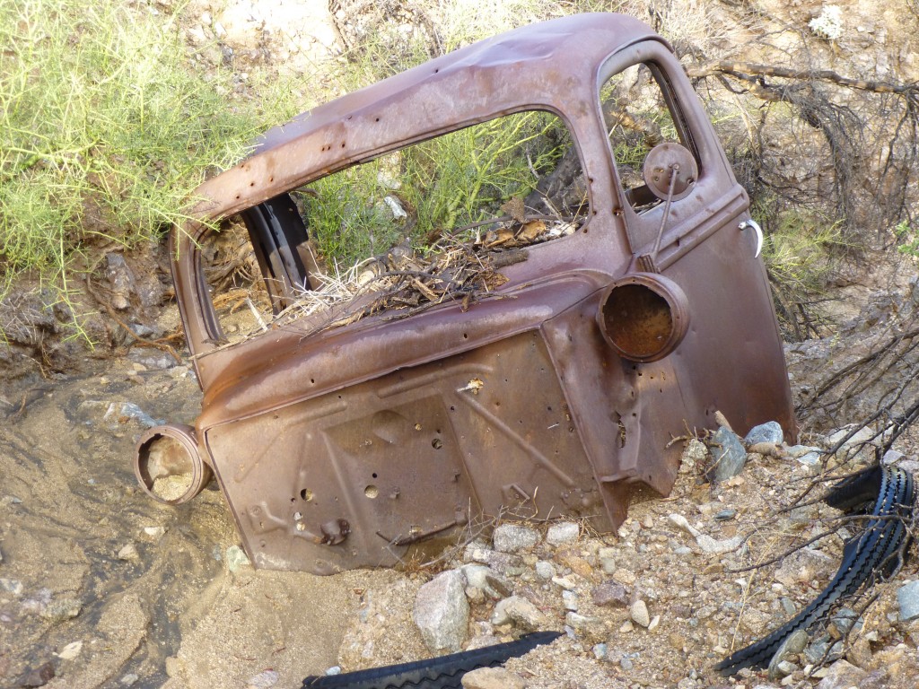
I was shocked – this road, such as it was, had been there for the better part of a hundred years, but no more. I climbed down into the gash and checked it out, but no dice. Nobody would drive it again unless they had a bulldozer and did some serious earth-moving. There was even the wreck of an old truck below where the road had been. My brother-in-law Lee has a lifetime of experience with old vehicles, and he said it was a Ford, something in the 1937 to 1941 vintage.
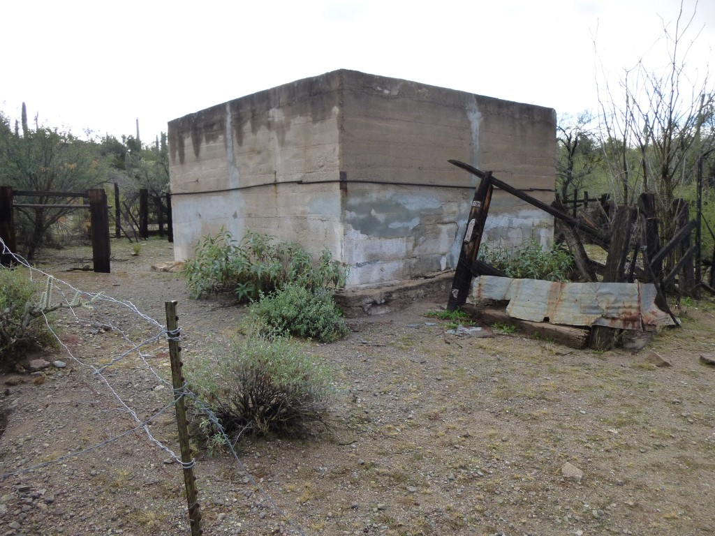
The road was gone – that really sucked! It now seemed that the best way to approach my peaks would have to be from the east, from Johnson Well. Back-tracking a few miles, to near where I’d spent the night, a thought occurred to me – maybe I could drive up the broad Sand Tank Wash. Sometimes those dry, sandy streambeds can be used to travel through the desert where no road exists. I drove down into the sandy bottom and it looked good. Just to be on the safe side, I put it into 4WD and away I went. A mile later, I came upon the remnants of an old place – a corral, a well and an odd bunker-like concrete structure.
Maybe somebody had lived there at one time. I noticed a rough track that climbed out of the wash and back up on to the bench where my road might be, so I tried it, and jackpot! Once back on it, I drove the road eastward two miles more and parked.
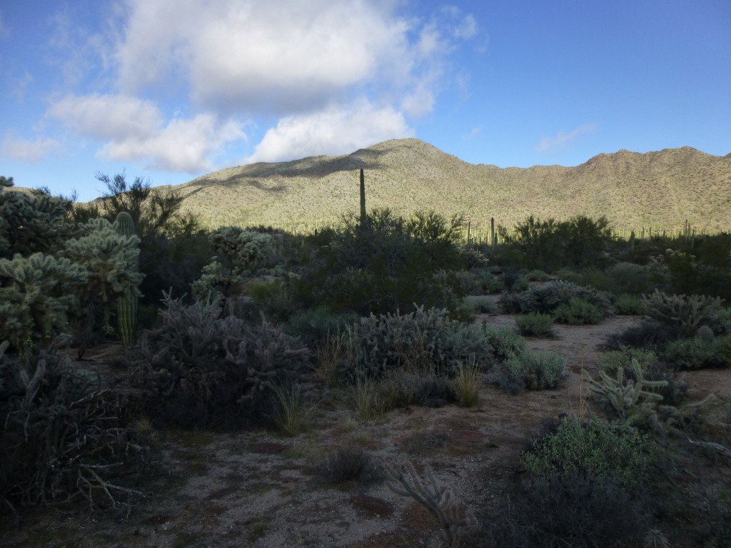
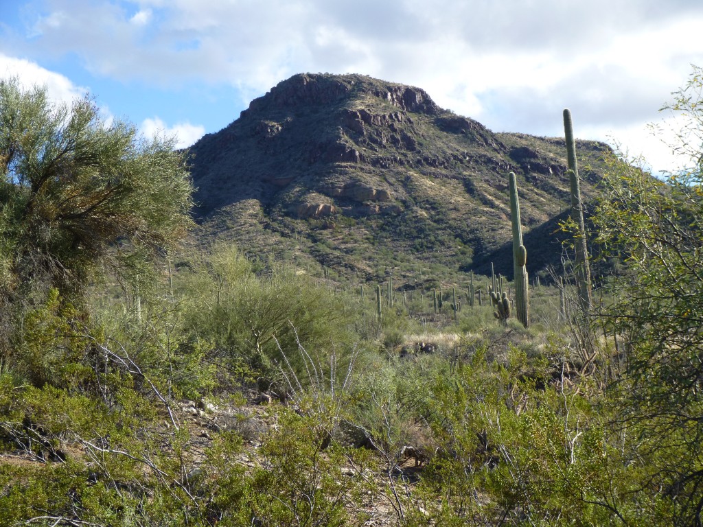
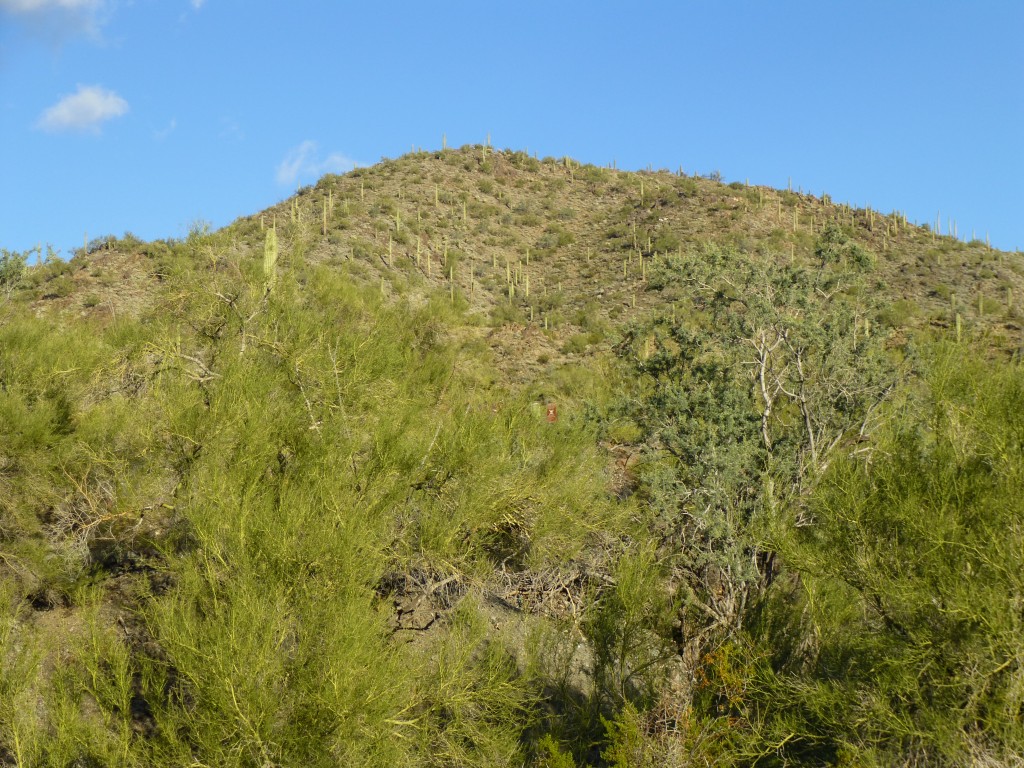
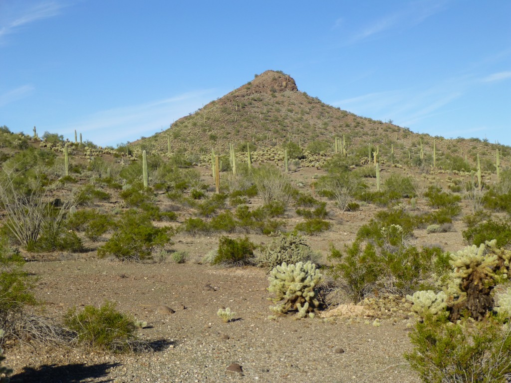
To the north rose Javelina Mountain, at 3,912 feet the fifth-highest in the range. I don’t know why I’d waited so long to climb it – after all, I’d been to the range high point only two miles to the east way back in 1987. Too much other stuff to climb during those 27 years, I guess. The sky was filled with fluffy white fair-weather clouds as I set out. A winding canyon led me part way up, then a few steep ridges the rest of the 1,200 feet to the summit – it took an hour. A cold wind met me when I arrived. Here’s the view to the aforementioned range high point, Maricopa Peak.
Since I’d had a late start, I didn’t stick around. It was a quarter past twelve when I started down. Once back at the truck, I drove a mile farther east and parked for my next one. Peak 3689 had only seen one ascent, by Andy Martin three years earlier, and I’d been curious about it ever since.
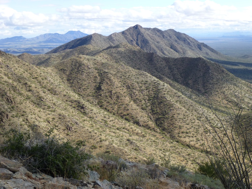
There was a band of cliffs guarding the northern prow of the thing, but I saw a gap I could use. A climb of 900 feet brought me to the top, where the wind was as strong as ever. I found Andy’s register, and of course nobody had been there since. There was a great view to the south, where a long, high ridgeline heads all the way down to Squaw Tit and beyond.
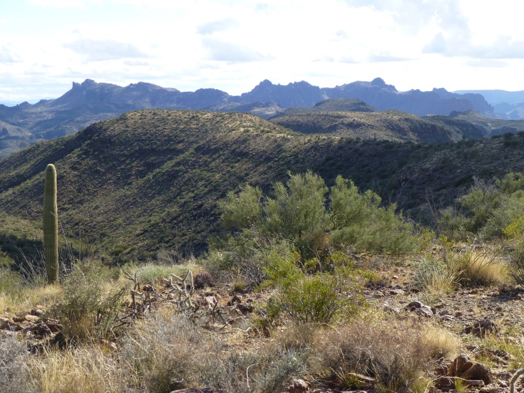
Looking south from Peak 3689. Squaw Tit is the peak on the far left skyline with the sheer drop on its left side.
Making up for lost time, I started down and made it back to the truck by 2:30. Maybe there was time for one more. I drove back west along the road until I reached the place where I’d come up from the wash. Parking in it a short way downstream, I locked up the truck and set out. There was a slot canyon right next to the truck, which I used to start the climb of Peak 2965. Once through the canyon, I used the south ridge to gain the summit. The middle of the three bumps was the highest. I built a cairn but left no register. Even though it was chilly, I was soaked in sweat and wanted to get down out of the wind, so I started back to the truck.
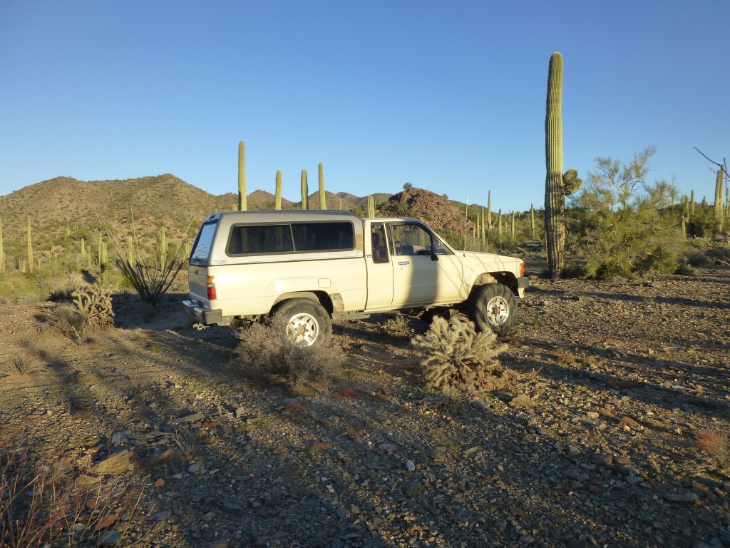
The day had worked out well, I had my three peaks, and all I wanted to do now was get situated for tomorrow. Back where I had spent last night, there was a poor track marked “jeep trail” on the topo map. I made my way over to it and followed it to its end. Perfect timing – I had a half-hour before the sun set. There wasn’t a cloud in the sky as I situated my truck in the perfect spot to spend the night.
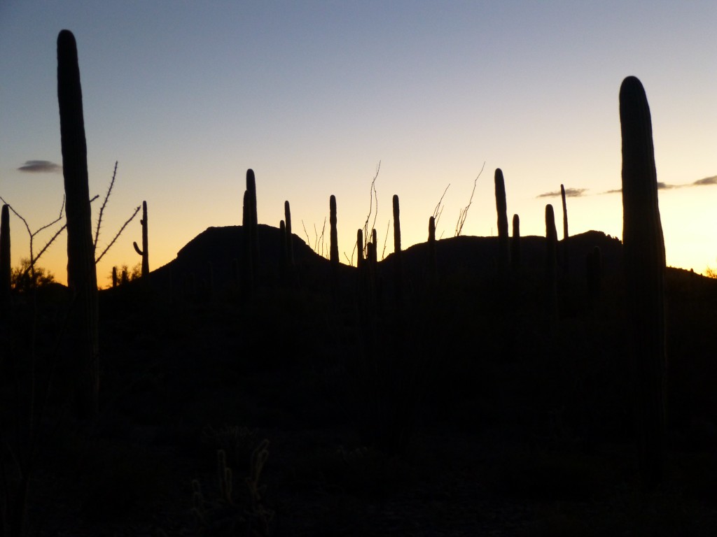
Only one thing remained to be done – sit back and take in another perfect desert sunset.
The night was chilly but I slept well, the only disruption being the songdogs who serenaded near my campsite – they always put a smile on my face. At first light, I didn’t waste any time getting ready and set out immediately for Peak 2551.
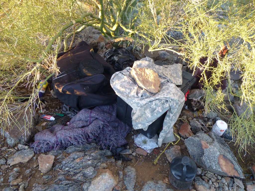
When I walked on to the summit at a quarter of eight, I was surprised to see so much crap littering the place. Smugglers had quite a stash up there – sleeping bags, blankets, large plastic storage containers filled with food, water, stoves and other supplies. Nothing I hadn’t seen before on many other peaks, but it still creeps me out to see these stashes on mountaintops.
I left a register in a cairn, but I doubt it’ll last long with those rat-bastards up there. Another summit sadly desecrated. Returning to my truck, I left the area.
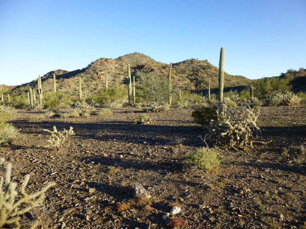
It was still early, so it seemed like a good move to do some more climbing. A dozen miles later, I parked to the east of a small peak at the north end of the range. It was a short walk on a fine desert morning to reach Peak 2260.
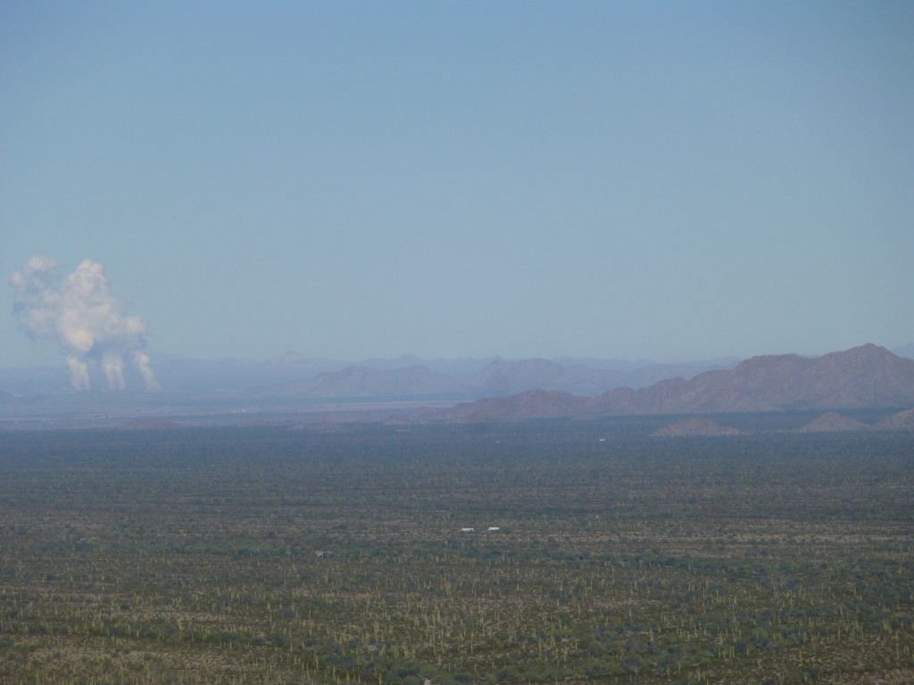
On the summit was an old register – it must have been left by Bob Martin back in 1997, the only previous ascender. The trouble was, no matter what I tried, I couldn’t open it – the jar lid was on there for the ages. I had a spare so filled it out and left it, along with the sealed original. Before leaving, something caught my eye in the distance, and here it is.
See the three plumes of steam rising into the chill morning air? Those are the nuclear power generating stations at the Palo Verde plant. They are about 35 miles away, and are the three largest nuclear power plants in the United States.
I walked back to the truck and decided to try to do one more before heading home. Less than 5 miles to the west stood a nice-looking mountain I’d had my eye on for some years. Using roads and a major wash, I made my way over to a point just north of it.
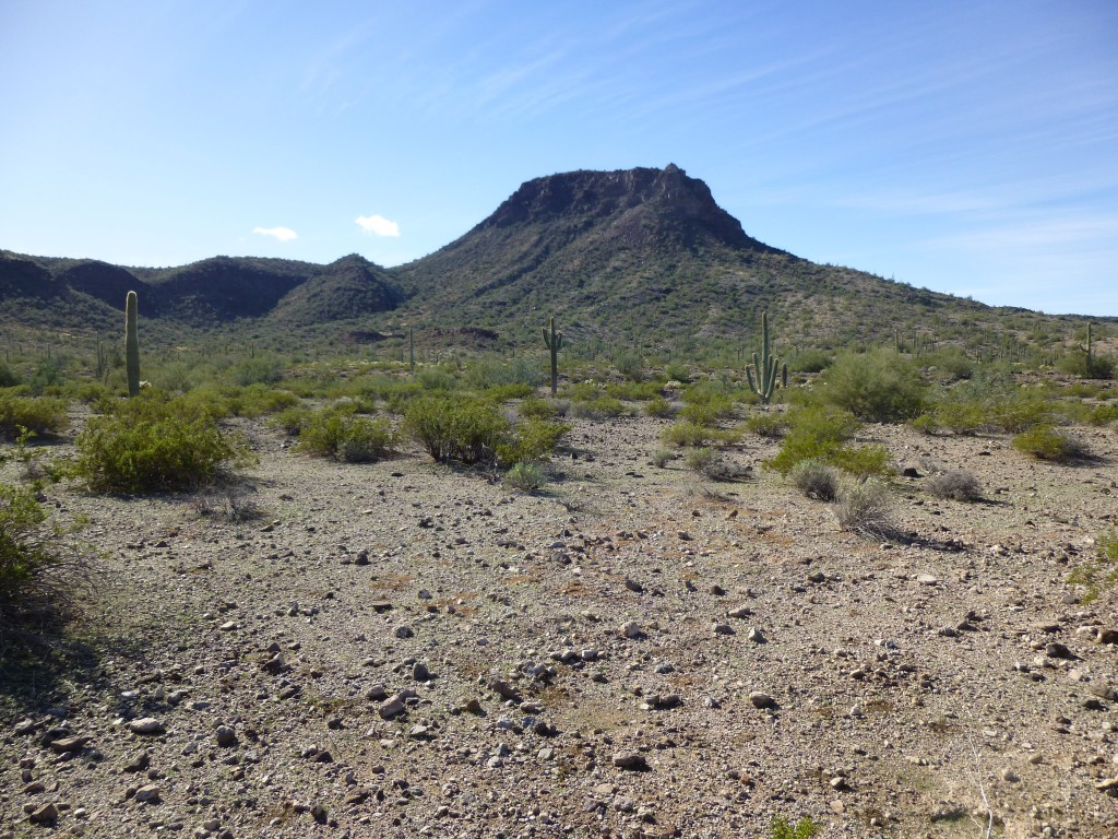
It was a nice-looking peak, and I was glad to finally be having a go at it. Getting over to it involved a bunch of crossing the grain, then ascending a shady gully with a lot of enjoyable rock scrambling. Most of the summit was guarded by a substantial cliff band, so my plan was to outflank it to the south. That turned out not to be a problem, and after a thousand feet of climbing I walked on to the high point. I was in good company – Bob Martin had been there in ’03, followed by Bob Packard five years later. I found their cairn but no register, so I left my own. It was a quarter of one when I topped out. This peak was the nicer for being unsullied by smugglers, and I really wanted to hang out and enjoy it, but I had to be back at work on the morrow and figured I’d better start down. It was almost 2:00 PM when I regained my truck. Working for a living really sucks!
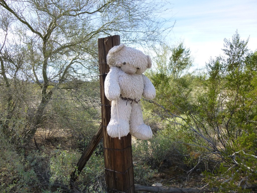
I thought I’d make my way back to blacktop via the gate near Getz Well, and that I did. As I was opening the gate, this is what greeted me.
A curious ending to a great weekend of peakbagging.
Please visit our Facebook page at: https://www.facebook.com/pages/Desert-Mountaineer/192730747542690

