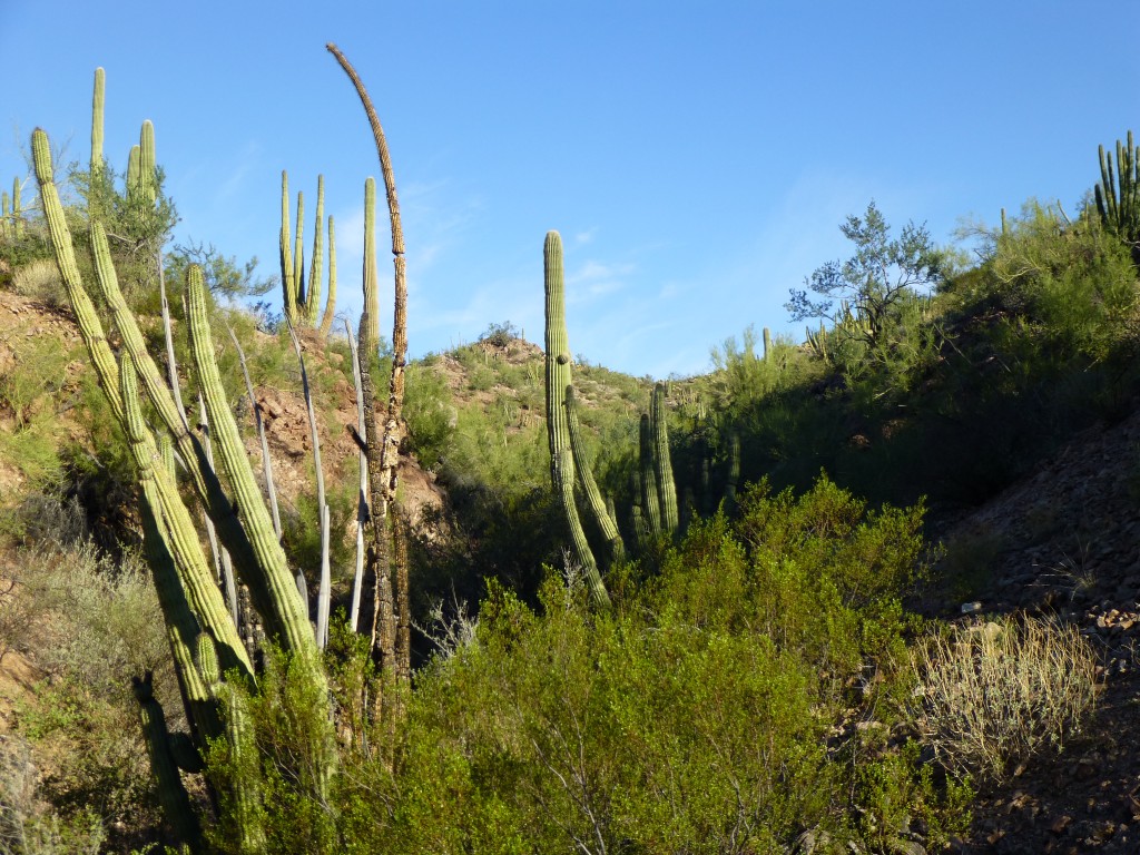
There’s a lovely little mountain range in Arizona, sitting only a few miles from the Mexican border. It’s known as the Puerto Blanco Mountains. Hardly a giant among the 193 Arizona mountain ranges, it spans a mere 11 miles and includes only 18 peaks.
My first foray into the range was back in 1987, when I made a mad dash to the top of Pinkley Peak in 49 minutes from the road. Ah, those were the days – young(er), driven, foolish. The range didn’t call me back until 2002, when a group of friends helped me celebrate my 40 years of climbing with an ascent of Peak 2675, the range’s second-highest. Two things still stand out in my mind from that day. The first was Dave Jurasevich’s kids, Rachel (age 9) and Aaron (age 6), scrambling like little mountain goats up the steep rock near the summit. The second was using a 2-meter ham radio on the summit to talk to Mark Adrian and Richard Carey, 92 air miles away on a climb of their own in the Gila Mountains near Yuma.
Fast-forward to 2012 – Andy Martin, his wife Sarah, Nick Scouras and I drove out to Organ Pipe Cactus National Monument one fine day, and while they climbed Pinkley Peak, I did nearby Peaks 2432 and 2575. That done, I saw no reason to return to the range, but never say never – 2015 saw me back again. This time, a larger project required that I finish the rest of the peaks in the Puerto Blancos. Four of them were done on October 4th and are written up in the story entitled “Breakdown”. But now we finally get to October 8th and the real excuse for this piece.
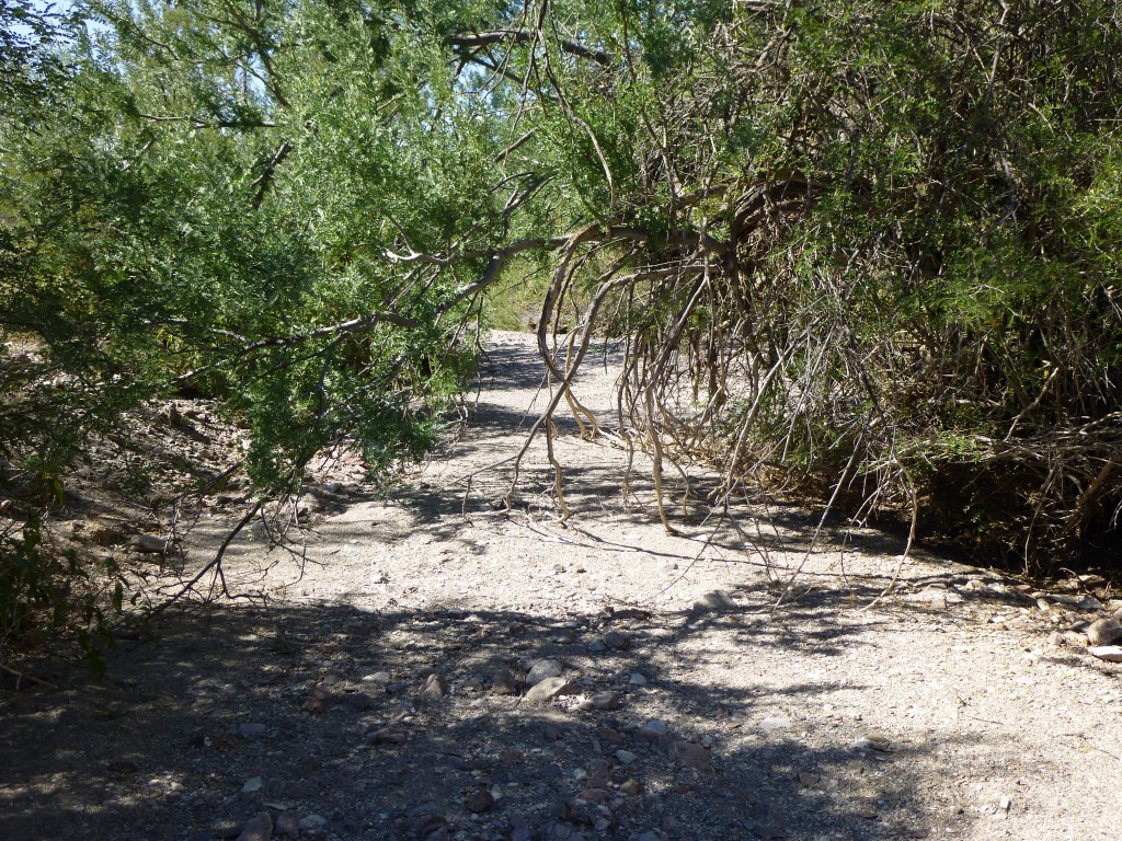
I had four other peaks in the range I wanted to do next – they’d make two easy days, or, because I’m an idiot, one long one. I might as well just get it over with and not have to come back, right? Besides, it was only going to be in the low 90s, just about right for the Desert Mountaineer. I arrived at the site of the long-abandoned Golden Bell Mine at the very early hour of 4:30 AM, and it was as dark as a pocket. By the time I’d finished farting around and started out, it was six o’clock and the faintest day was breaking in the east. Setting out, it wasn’t as cool as I thought it should be, so I had a hunch it was gonna be a warm one. I walked up a wash for a while, then left it for one of its lesser branches, and finally headed cross-country over hill and dale. As I neared my first peak, I crossed a well-trodden footpath at its western base. Even though it seemed like a remote spot, this just goes to show how many border-crossers pass through.
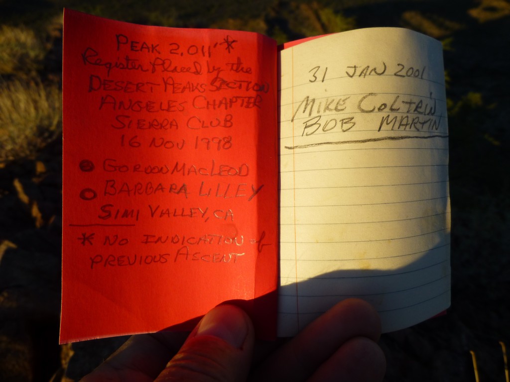
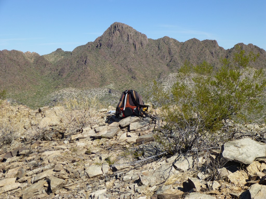
I was pretty pleased when I pulled on to the summit of Peak 2011 just before seven, and it was even better to see the register left by Barbara and Gordon back in 1998.
The place wasn’t all trashed up, so that was an added bonus.
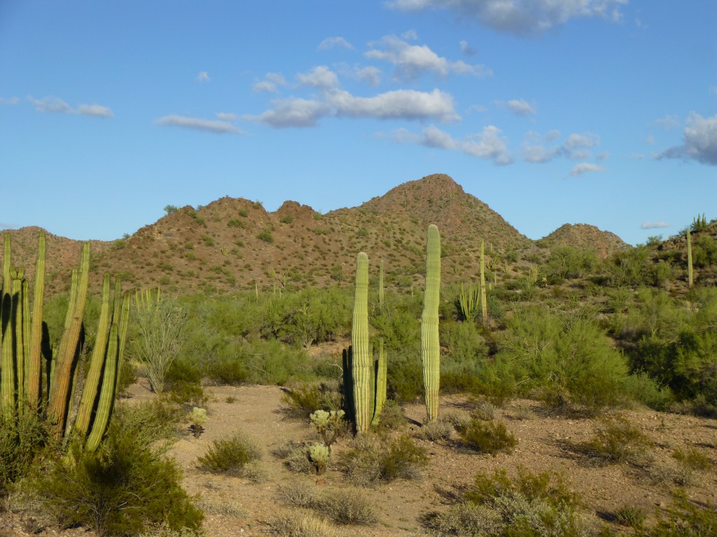
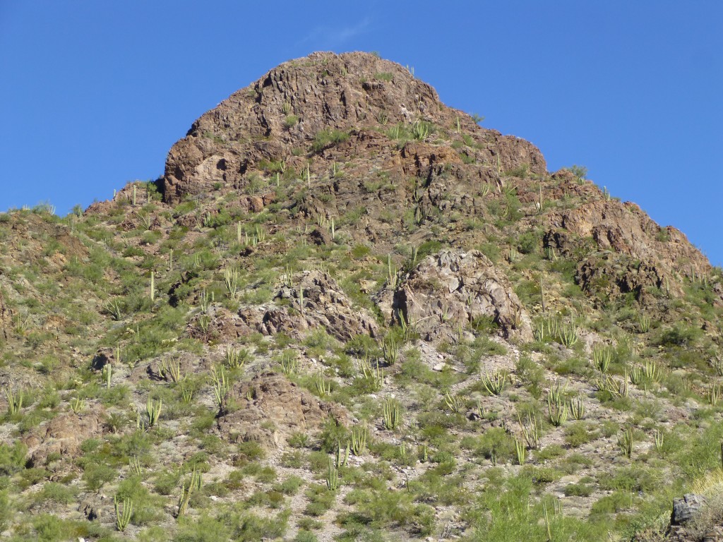
Here’s a photo I took of the peak when I was back at camp in better light much later in the day.
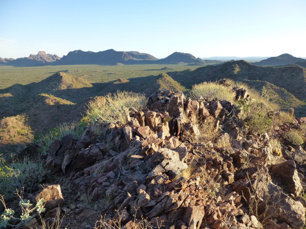
My plan was to climb four peaks today, and I had this great, early-morning view to the fourth one, where I hoped to be much later in the day.
Within 15 minutes, I’d scoped out my descent route and started down. The east side worked well, and it didn’t take long to drop down to a wash which I followed for almost a mile.
That put me squarely on the north side of Peak 2296, a steeper climb. Sadly, the summit had been trashed and the register destroyed. Ten minutes was all I spent on top – it was kind of depressing seeing all the crap littering such a lofty place. What I had to do now was make my way across the desert to my third and farthest peak of the day, but to do that I needed to find a way down off this one without backtracking. Much of the summit was guarded by cliffs – hmmm, was that a break on the southwest side, a steep gully that might work? Sometimes you just have to give it a try and see if it goes – worst case, you crawl back up again and try another way, losing some time and a bit of ego in the process. I got lucky, and after some sliding and cursing, I made it down the 600 vertical feet to the desert floor. A look back to the summit showed me I’d made the best choice. The gully I descended was on the other side of the summit, and I emerged on the left side.
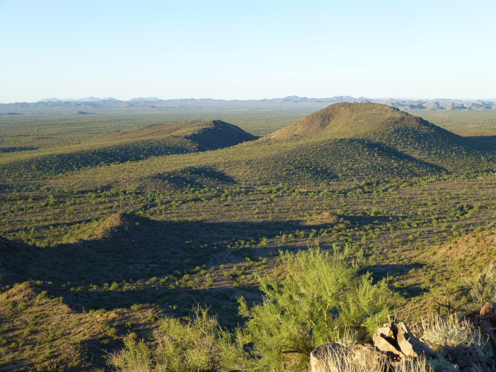
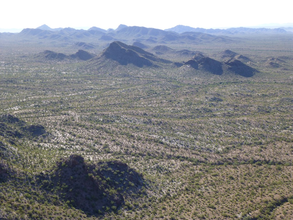
It was warming up. I had a lot of ground to cover, and unfortunately it was all across the grain – that meant endless gullies to cross, down one side and up the other. When I’m faced with a stomp like that, I put my mind in neutral and just go. Sometimes an ear worm works its way into my brain and keeps me company for miles – that can be good or bad, depending on the mood I’m in. One thing that’s crucial, though, is that when you’re putting in the miles through canyons, mountains and desert, especially if it’s ground you’ve never covered before, you’d sure as hell better know exactly where you are every minute. It’s easy to mess up out here, and then you’re a story on the evening news. The next picture shows the way to my next peak – it’s the one in the center of the photo on the other side of the flat desert (it isn’t nearly as flat as it looks), the one that’s all in shadow on its near side.
Time passed as I crossed what is called “La Abra Plain”, which translates roughly as “the open plain”. The name was more apt farther south, where the country was less hilly, but here it was still crossed by countless gullies.
Eventually I stood in a big wash, gazing up at my third of the day, Peak 2059. Up I went to the west ridge, then the last 150 feet to the summit. Oh, the joy! – another register, still intact. Nobody had been there since the register was placed in 1998, but no surprise there – this was way off the beaten path, and it could easily be another 17 years before anyone sets foot on it again. Here’s a link to a video I shot on the summit:
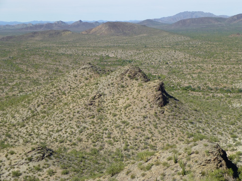
I was now at my maximum distance from the truck, and it wasn’t a straight shot back – I still had one more mountain to climb. Don’t get me wrong, the place was beautiful and I was enjoying every minute of it, but it was warming up quickly. It was a quarter of eleven when I started down. Here is a view to the next, and last, peak on my list for the day. It’s the darkish bump in the center distance, just touching the horizon. The nearby stuff in the foreground is an outlier of the peak I’m on, nothing more.
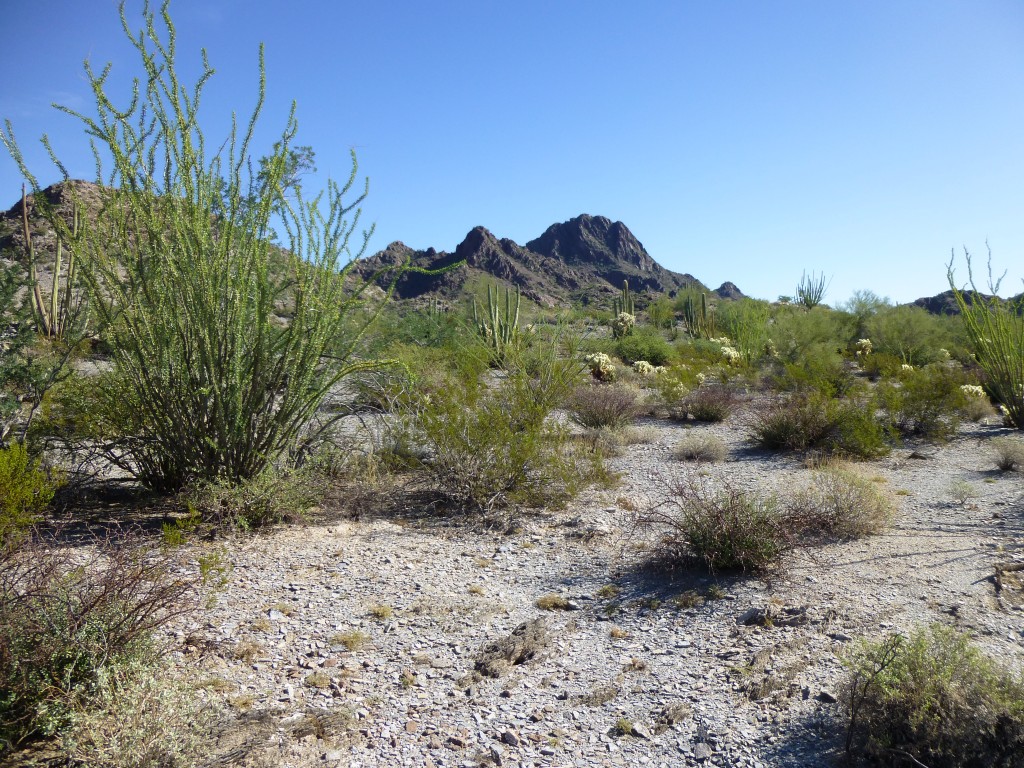
There’s not a lot to tell about the next part of my day. Once down off of 2059, I made a bee-line west across the grain and enjoyed the scenery. The last part of the trip was in a nice sandy wash, and I hated to leave it to start up the final hill.
It was a big counter-clockwise loop I described to reach the top of Peak 1932 at 12:45 PM. Although there was some trash there from border-crossers, happily the register was still there, hiding in the summit cairn. From here, I could see the Mexican border only 5 miles away, and the sweep of the entire Puerto Blanco Mountains to the north and east.
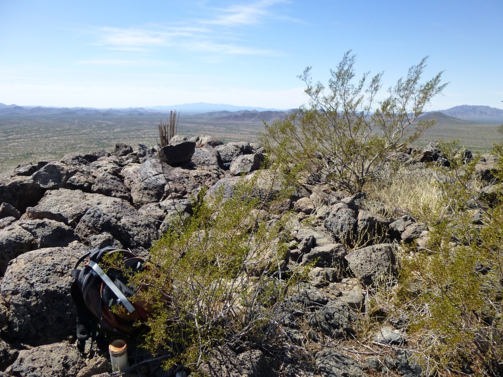
From the top of Peak 1932, looking southwest to distant Cerro Pinacate (a world heritage site) on the center horizon in Mexico
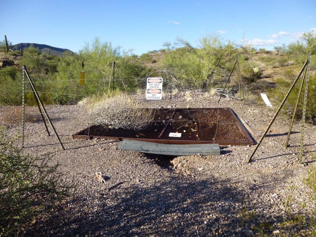
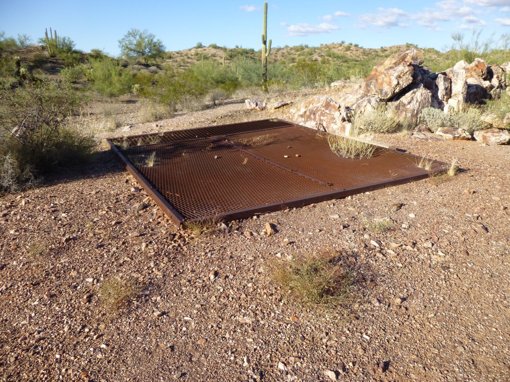
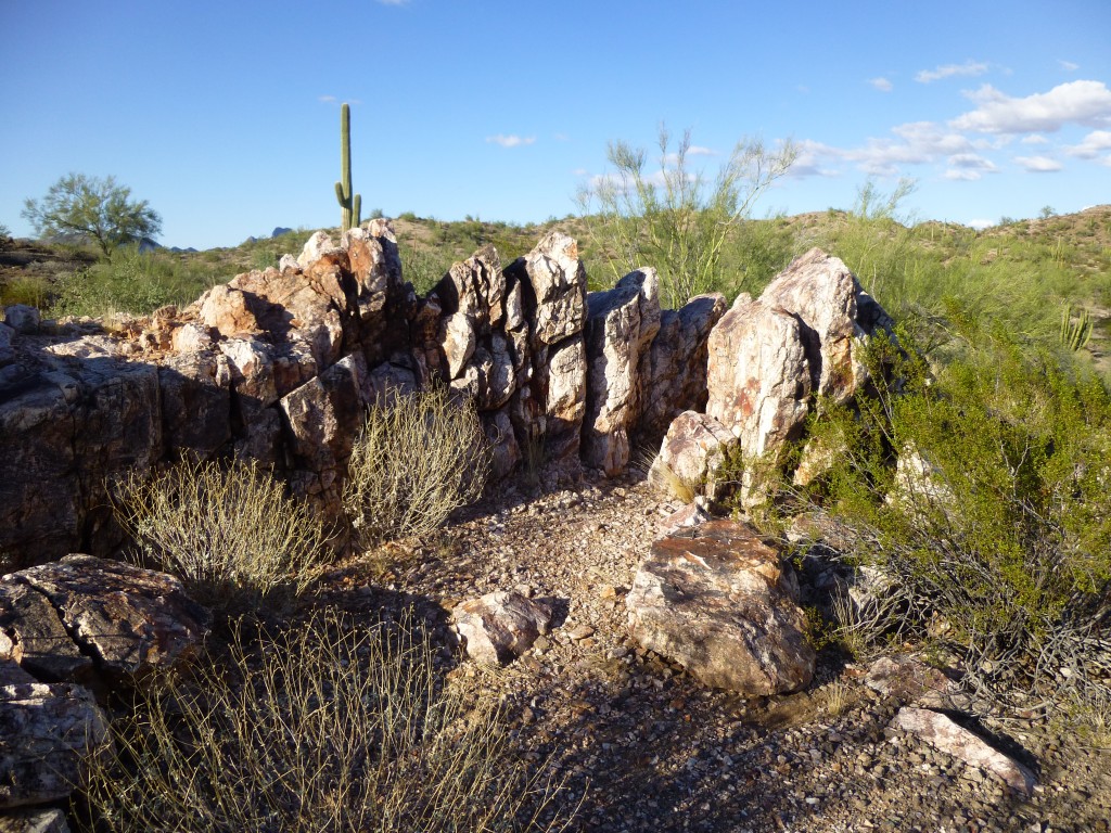
This should be an easy finish – just walk north off the peak and keep going, straight back to the mine and cold drinks. That’s pretty much how it went, and it was all over at two o’clock, eight hours after I’d started – better time than I thought I’d make. I’d had six quarts to drink and went through them all, and was glad I did. And at just under ten miles, less distance than I expected too. Once I’d stripped off my salt-stained clothes and sat down to enjoy a cold one, I was promptly stung by a bee – I was just minding my own business, honest. I spent a while poking around the old mine before I left. Since this piece is named for the mine, I thought I’d share with you what I learned about it.
Gold-bearing quartz veins occurring about 6 miles west of Dripping Spring in the Puerto Blanco Mountains have been prospected by a few shallow shafts on the Golden Bell claims. This area, which is about 30 miles south of Ajo, via a branch from the old Sonoita road, forms part of a schist pediment at the western foot of the range. The vein exposures, which are more or less interrupted by later gravels, appear along an eastward-trending belt about a mile in length. At the western margin, the vein is vertical and consists of dense shiny white quartz, somewhat iron-stained and brecciated near the walls. About a mile farther east, the exposures are from one to two feet wide and have been somewhat offset by cross-faulting. Here, a shallow shaft shows shiny, grayish-white to greenish-yellow quartz with some masses of cellular limonite. The schist walls of the veins are considerably sericitized and silicified. According to Charles E. Bell, one of the owners of these claims, the exposed eastern portion of the vein in places averages about 0.5 ounce of gold per ton.
Thus ended another wonderful romp through the Sonoran desert in a beautiful area. Doing this never gets old.
Please visit our Facebook page at: https://www.facebook.com/pages/Desert-Mountaineer/192730747542690

