What a blissful time – it’s 6:00 PM, the sun has set, night is falling all around me in my glorious Sonoran desert. My belly is full after a hard day’s climbing, and I’m listening to restful classical music on KBAQ from Phoenix. The moon, nearly full, rose an hour ago and floods my campsite with its soft glow. It’s hard to believe I’ve only been out here 28 hours, so much has happened.
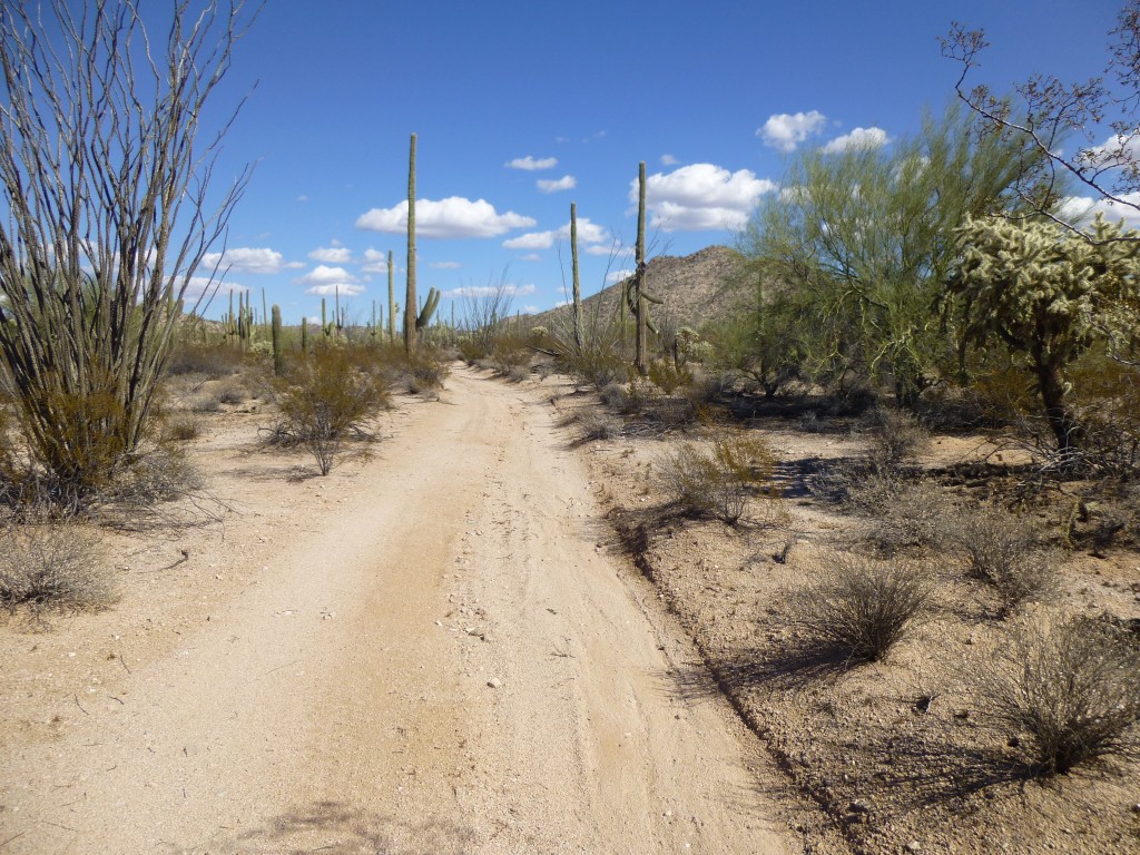
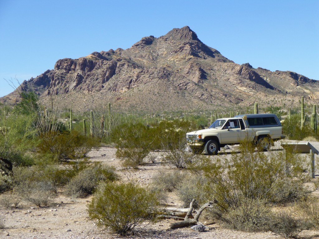
I left my Tucson home, drove across the res, then down to Organ Pipe. There was a peak in the Sonoyta Mountains I wanted to do. This little range has only two peaks, and back in 1987 I had climbed the range high point, Peak 2313 – now I was back to visit its little brother. As I drove north towards Senita Basin, I found this good-looking road (not shown on any map) heading in just the right direction. I parked and set out.
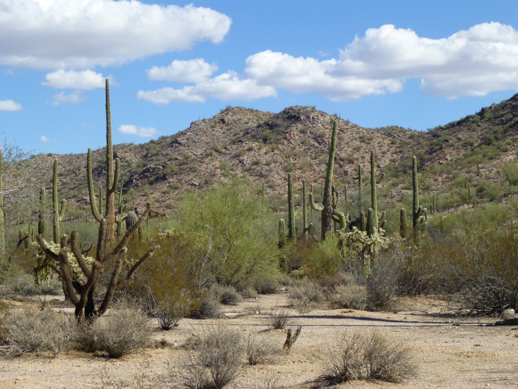
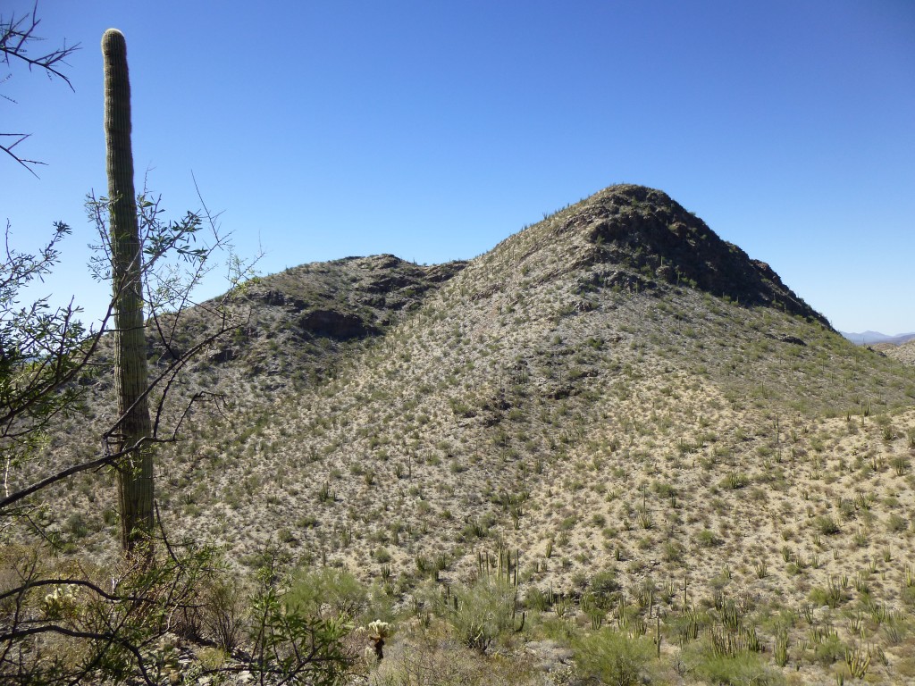
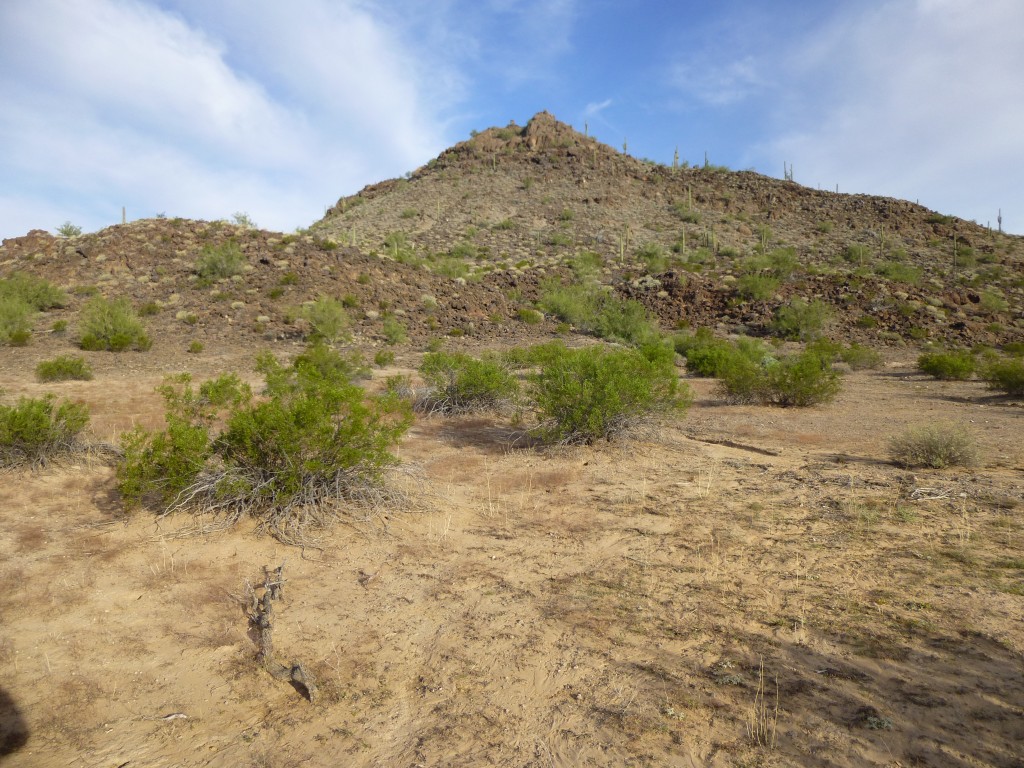
It was an easy walk on fairly level ground, and an hour found me a couple of miles in and at the base of Peak 2010.
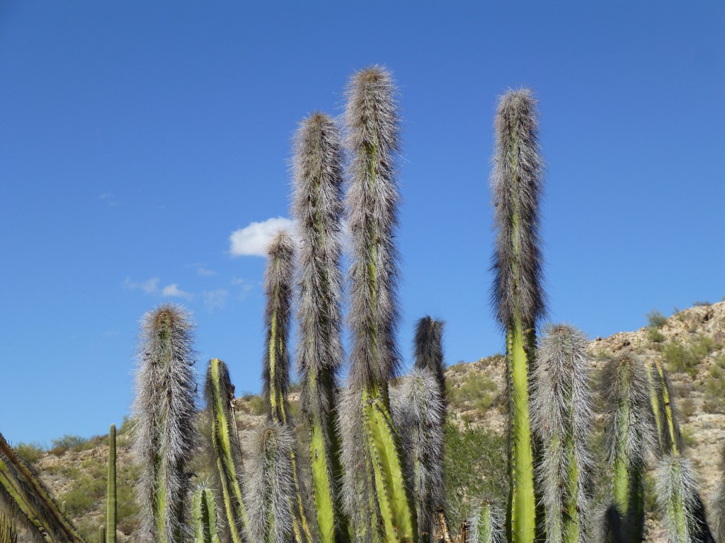
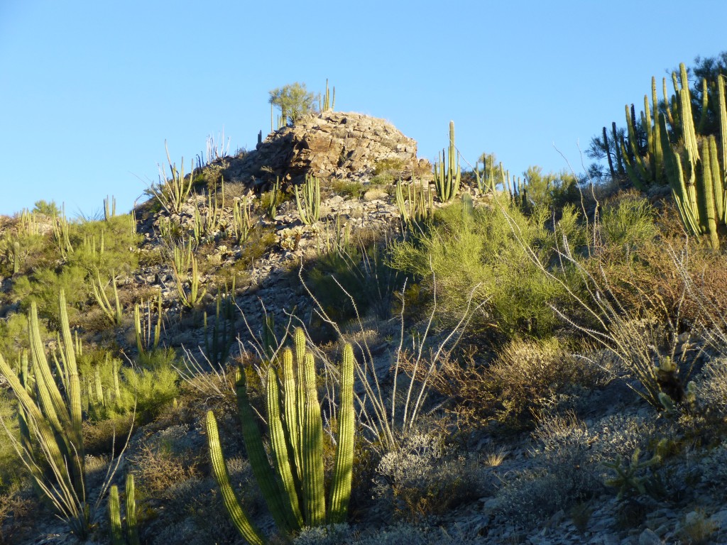
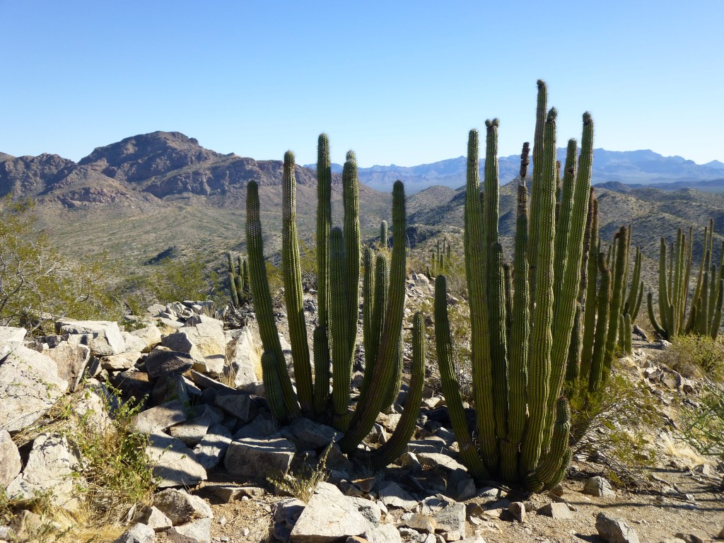
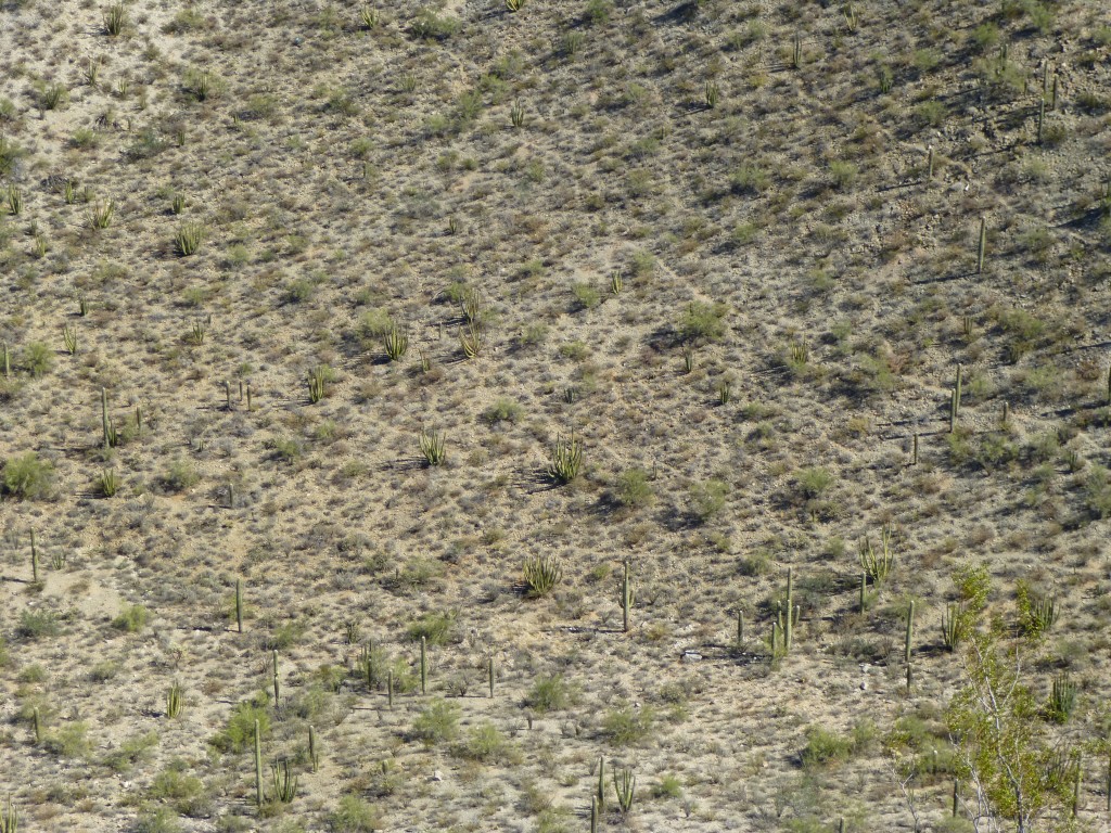
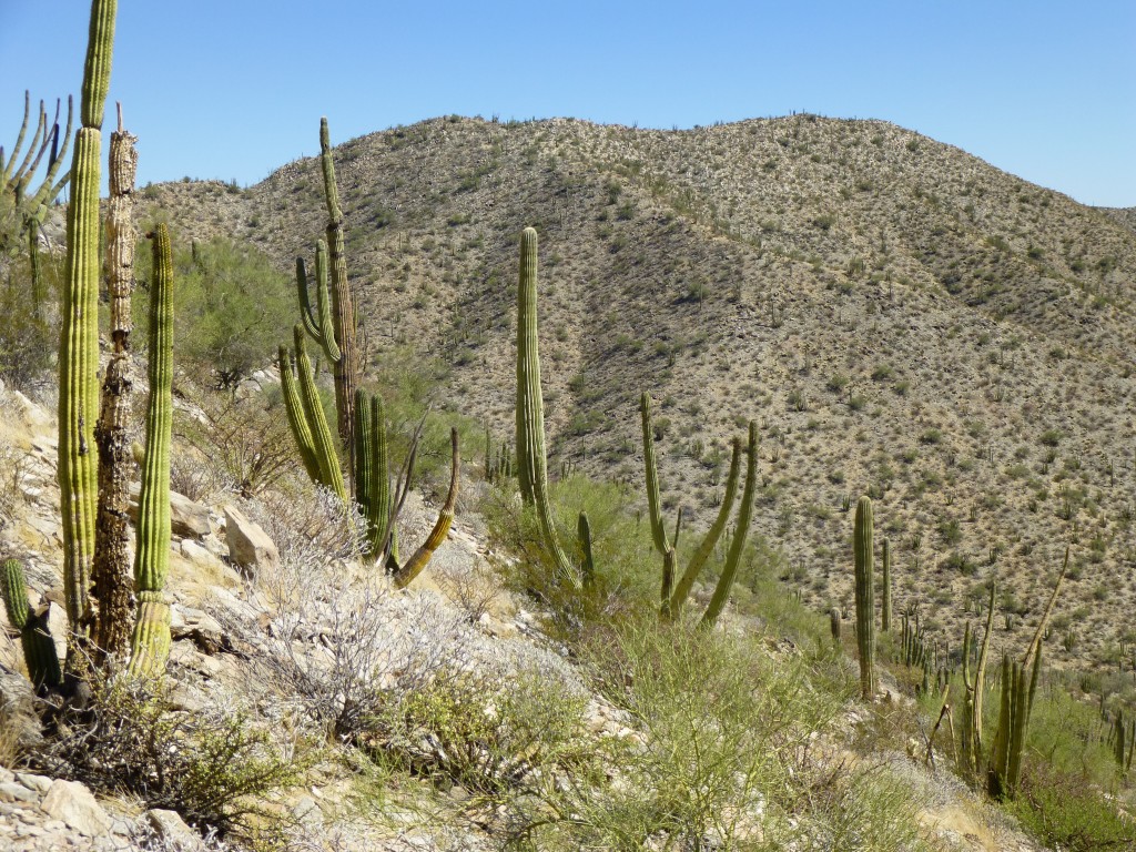
My hope was that I’d see some of the rare Senita cacti, and I wasn’t disappointed.
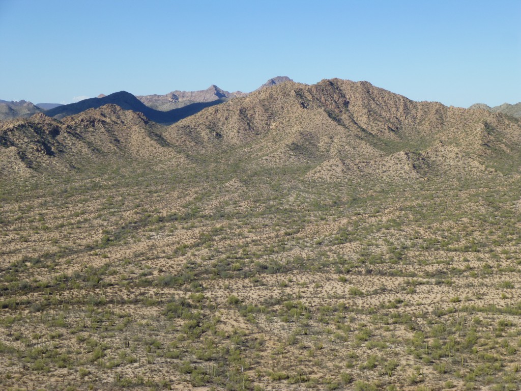
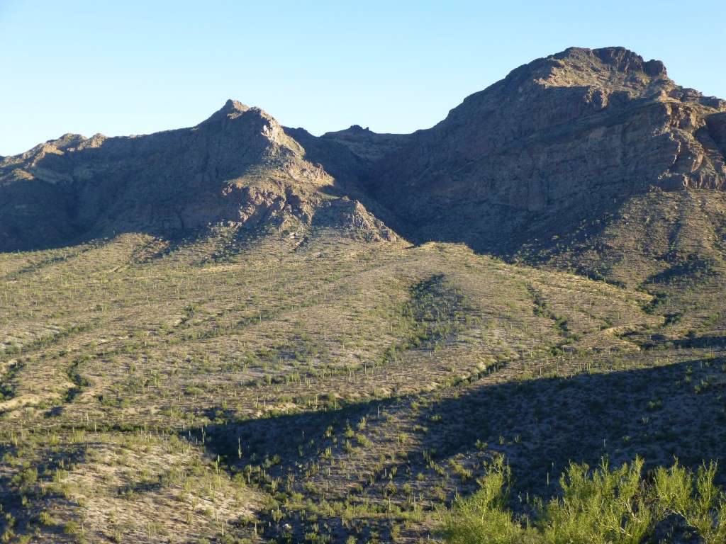
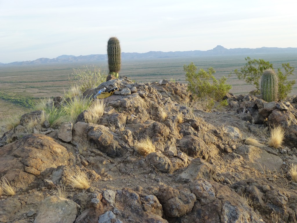
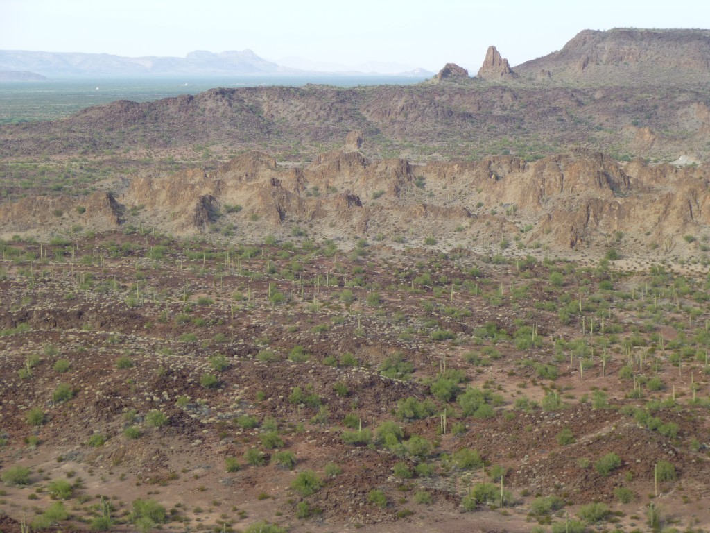
This small pocket of Organ Pipe Monument is the only place in the U.S. you can expect to see these guys, unless you count the 20 of them Jake and I had found in the Agua Dulce Mountains (see my previous story “Death in the Agua Dulce Mountains – Part Two”). The climb was an easy scramble and I stood on top at three o’clock. Here’s what I saw to the north, the range high point, Peak 2313.
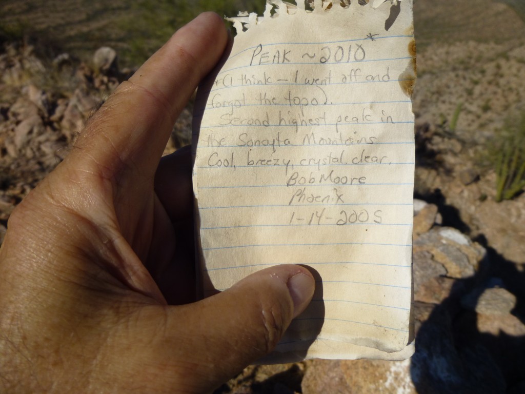
Bob Moore’s register greeted me, a bit soggy but still intact.
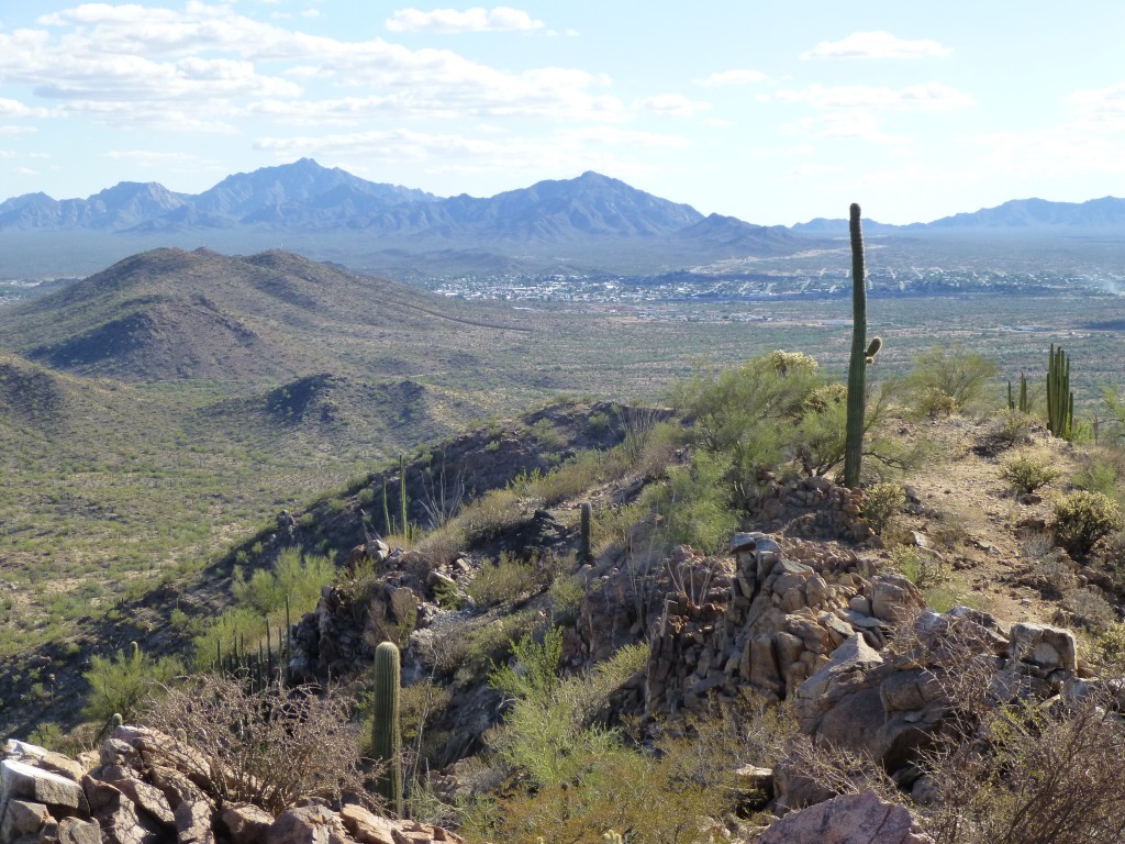
This was my view south to the Mexican town of Sonoita.
I signed in and buried it again in its rocky nest. The descent and walk back out was easy enough, and almost 3 hours had passed by the time I was done.
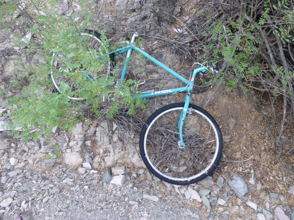
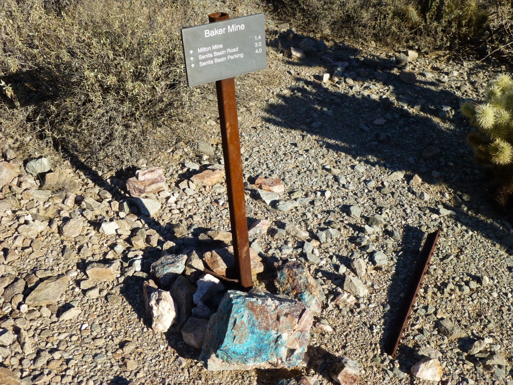
It was 5:30 PM by the time I’d driven the 10 miles of dirt and 16 of blacktop to arrive at the rustic campground at Alamo Canyon. A quiet night was spent, but the alarm at 4:30 AM was a rude awakening. Yesterday was just a warm-up, today would be the real McCoy. By the time I ate, packed up and drove to my starting point, it was just after six. Today, I’d try to do four peaks in a big loop. The Baker Mine trail cut through the middle of them, but I wouldn’t make much use of it – in fact, after half a mile I left it and headed into the boonies. That’s what I really like, going cross-country through whatever the desert has to offer. After a short distance, I found this bike, abandoned in a wash – how anybody could possibly think they could ride one of these in this rough country is beyond me.
My early-morning route didn’t disappoint, heading up a messy wash, over a saddle and down into a new swath of desert. Before long, I stood at the base of Peak 2310, then climbed up to a saddle on its east ridge. An easy scramble took me to its summit at a quarter of eight, an hour and a half after leaving the truck.
The register had been destroyed by border-crossers, and I wasn’t going to humor them by leaving another. I did spend a minute enjoying this early-morning view of Pinkley Peak, the high point of the Puerto Blanco Mountains.
Ten minutes later, I dropped off the south side, following a sinuous wash in the valley bottom. Forty minutes later, I re-connected with the Baker Mine trail.
Heading west, I soon caught up with the Baker Mine itself.
Not much to see there, so I moved on, climbing over a pass and dropping down into a different valley – this faced south into Senita Basin, but I didn’t admire the view for long, instead climbing up the east side of Peak 2284, number two on my list for the day. This was the farthest I’d get from my vehicle on this trip.
It was getting warm. On top, I found trash from both surveyors and border-crossers alike. Here too, the register was long gone. Fifteen brief minutes was all I could afford on 2284.
Back down the way I’d come, up to the pass, down to the mine, then barely half a mile more on the trail to a saddle at 1,930 feet. This was a perfect jumping-off point for number three. Crossing another drainage, I reached its steep northwest ridge, got lucky in finding a way on to and up it (this one had me concerned from studying it on 2284), standing on the summit of Peak 2410 at 11:15. Sadly, it too was all trashed up. From the top, I looked down on to this patch of desert below and saw it was crossed by trails left by indocumentados. I can see at least five in this photo.
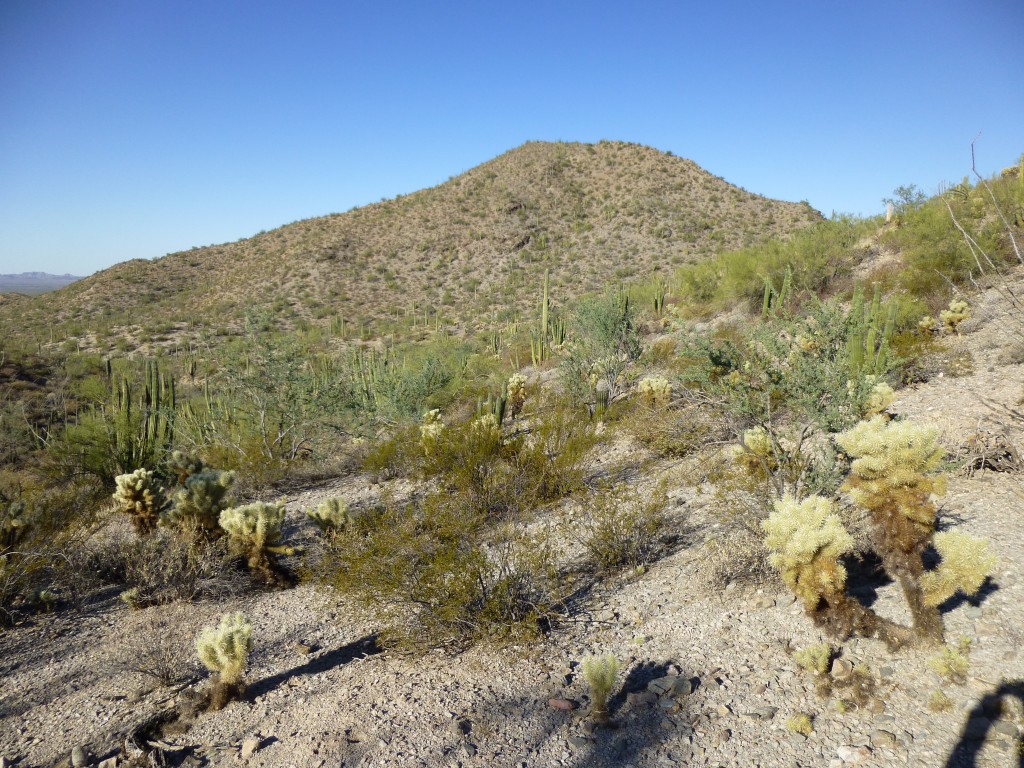
Fifteen minutes later, I was dropping off the very steep east side, which definitely had my full attention. 500 feet lower, I stood in a gully, sweating like a pig – it sure seemed hot. It was a slow grind up the last one of the day, a second Peak 2310. Here’s the view I had of it from the side of Peak 2410.
And here’s a look back to Peak 2410.
Two bumps vied for the highest point, so I climbed them both – the southeast appeared higher by the narrowest of margins. Same old story, register gone. It was almost 1:00 PM when I bailed off the north side to re-gain the Baker Mine trail below.
All I needed to do now was head east back to my truck. A mile later, I came upon the Red Tanks Tinaja, then carried on another mile to finish it all off. A little over 7 1/2 hours had done it, and none too soon. The old truck looked mighty good as I covered the last hundred yards.
Even though it was only 88 degrees, it had taken it out of me. I drove back out to the highway, then north for 35 miles, passing through Ajo and entering the Barry M. Goldwater bombing range 10 miles north of town.
Which brings me to the final part of the story. Do you ever see a name on a map that sounds so intriguing you just have to go there and check it out? This trip would satisfy my curiosity.
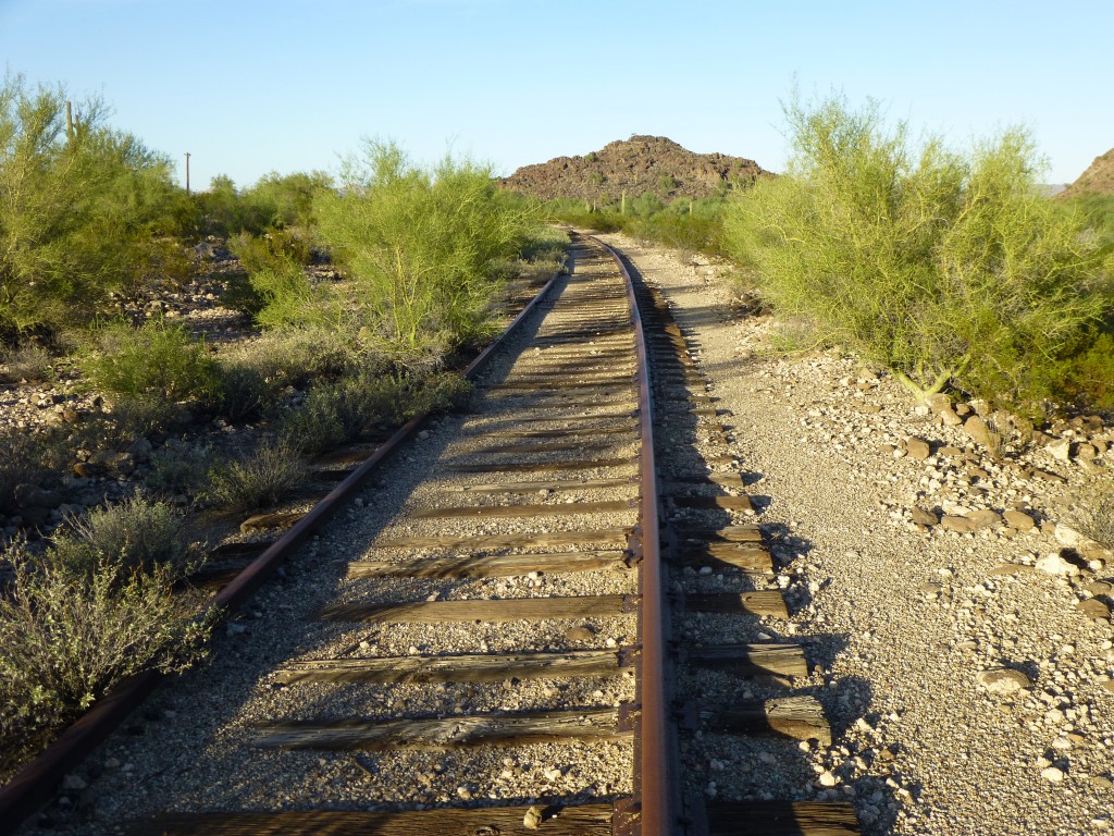
Ajo, Arizona had a huge copper mine, the New Cornelia, which closed back in 1985. They used to ship ore and supplies on their own private railroad (the Tucson, Cornelia and Gila Bend Railway) up to Gila Bend, to connect with the Southern Pacific mainline. Naturally, when the mine closed, the railroad stopped running. The track is still all there, but it’s pretty rundown. 13 miles north of Ajo sits Deadman Gap, an intriguing name to put it mildly. It’s a spot where the railroad runs through the extreme eastern end of the Crater Range, and I’d wanted to visit the spot for a decade or more.
So, here I am. A couple of hours ago, when I arrived, I walked along the tracks, just to get a feel for the place. As you can see, vegetation is growing up all over the place where it doesn’t have a right to. Also, I realized that I was camped along this spot, which I just had to call Deadman’s Curve.
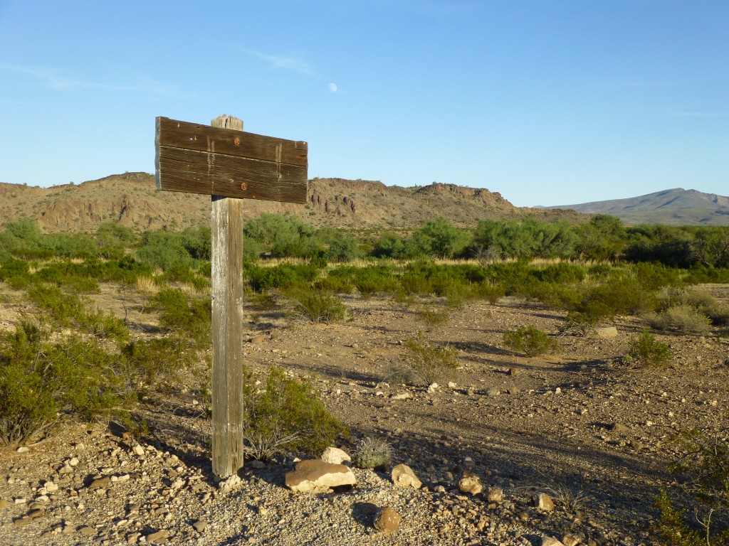
Even the old signs had faded away – who knows what stories they used to tell.
The night passed and I slept like the dead. Since I was parked right beside my peak, in the morning I dressed, ate and walked right up the thing. I was keeping banker’s hours, so I didn’t stand atop Peak 1767 until 7:20 AM. This was a pretty cool spot, the easternmost summit in the 24-mile long Crater Range. Another vanished register.
Although it wasn’t very warm, I was soaked in sweat. When I got back to my truck, I drove little more than a mile north and parked near my last peak.
Peak 1610 had a register, but I had to look hard to find it. Bob Moore had placed it back in 2003 and only one other had signed in since. This far eastern edge of the Crater Range has some rough topography.
After a short while, I dropped off the east side and back to my truck. A few more miles of driving on the bombing range took me to one of the locked gates (permit required, which also gives you the combination) and then out to the paved highway. I can’t find out who the dead man was, but it was fun to finally visit his gap.
Please visit our Facebook page at: https://www.facebook.com/pages/Desert-Mountaineer/192730747542690

