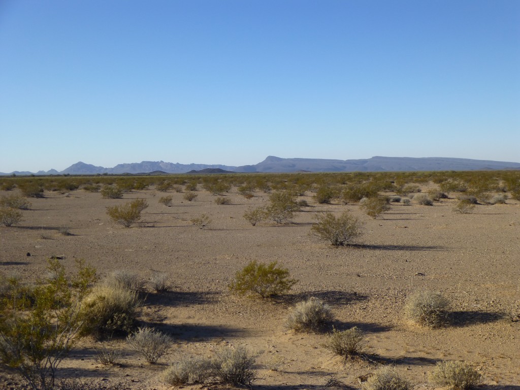
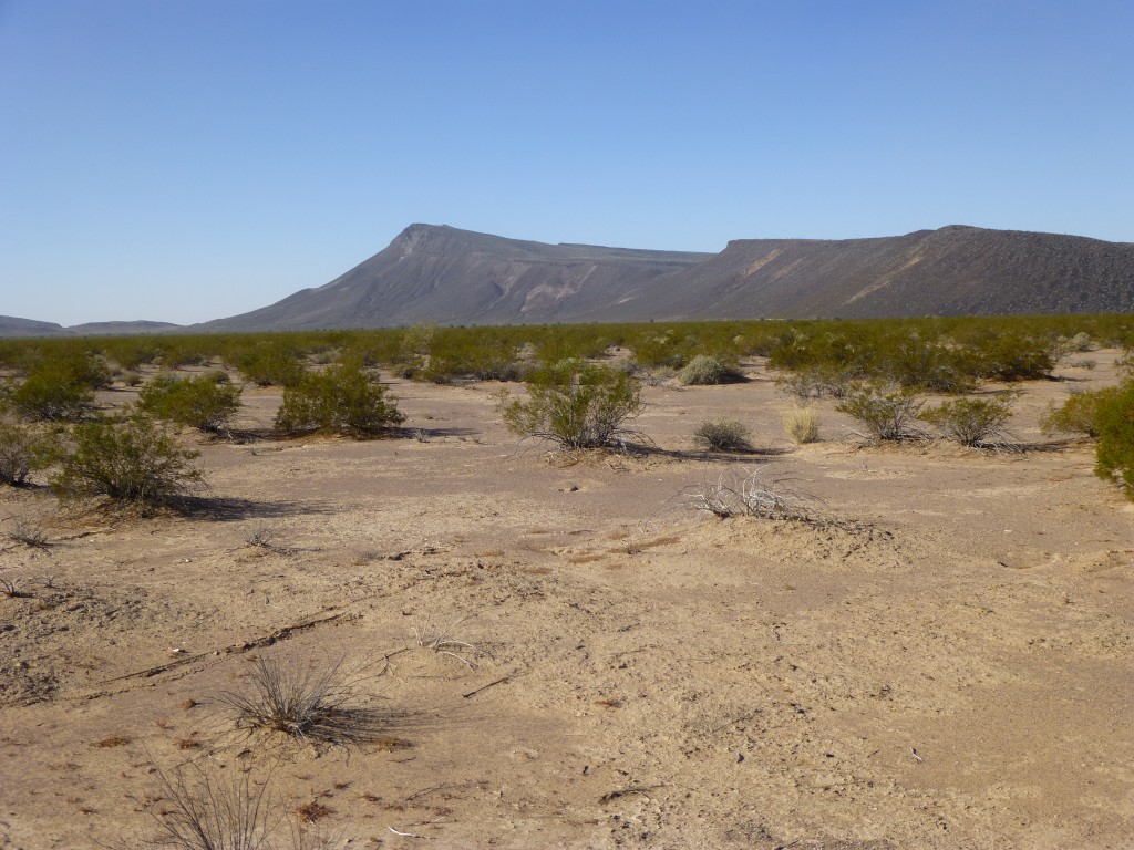
What a concept – months in its formulation and planning, even then it seemed so outrageous, it was certain to fail. Maybe that’s why it seemed so attractive – the challenge was enormous, and if we could pull it off – well, it’d be one for the history books. The plan was to make our way deep into the desert, to enter a mountain range so remote that it had remained virtually untouched by climbers. The Aguila Mountains (“Eagle” in Spanish) were the goal. It’s high point had been surreptitiously visited by a small handful of us over the last three decades – luckily for us, it was the peak closest to civilization and the easiest to reach. Anyone standing on that summit couldn’t help but be impressed with the large number of rugged peaks farther south, deeper into the range. Mark and I had seen them too, and that’s how our interest began.
I mentioned the months of planning – as I look back now, I can see we worked on the logistics for almost 4 months – that included a couple of phone calls and about 265 emails. That may seem like a helluva lot of planning, but sweating the small stuff is what makes a trip like this a success (see “Granite Mountains Expedition” on this website). We figured it’d take 5 or 6 days to do the deed, and because out there you either get it right the first time (the desert is a cruel mistress, and usually doesn’t allow second chances) or pay the harshest of penalties, we knew we had to plan really well. We had to pare down our loads to the minimum amount that would assure survival, and nothing more than that. One thing we had going for us was that there was a reliable water supply, a huge plus in our favor, so we’d never need to be carrying much of that – water is good stuff, but man, is it heavy! And since it would be winter, it’d be cold and we wouldn’t be drinking so much.
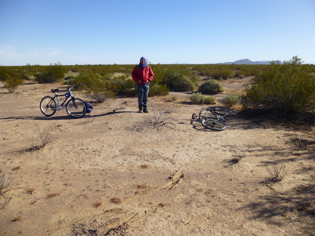
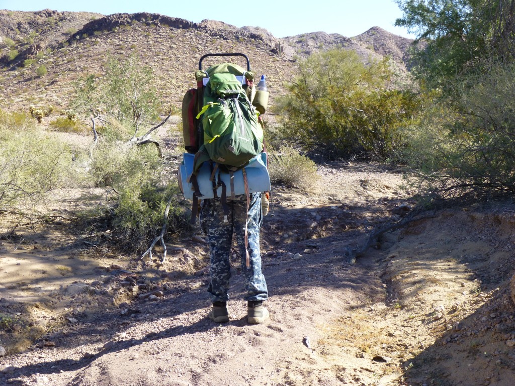
The big day came, December 26th, Boxing Day to some of you. We met early, in the dark, at our pre-arranged spot, and parked our trucks in a safe place. Our packs weighed around 50 pounds apiece. Now that’s not the end of the world, but the fact that, once they were strapped on to our backs, we then climbed on to mountain bikes and rode away into the windy, freezing night – well, that sucked. It’s bad enough walking with such loads, but trying to balance on a bike while riding over a bumpy, seldom-used desert track is a whole lot worse. It became light enough after a while that we could turn off the headlamps, but oh, what a ride it was. Some stretches were sandy and the bikes had to be walked; others were a bit bumpy but we could still make pretty good headway.
Overall, though, it was no Ride of the Valkyries – there was a lot of whining and moaning.
Hours later when we stopped, our asses were so sore we feared we’d never be able to sit normally again.
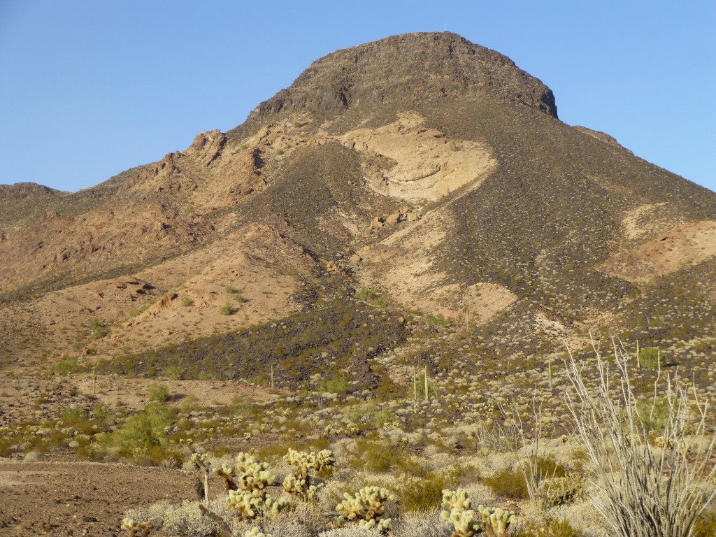
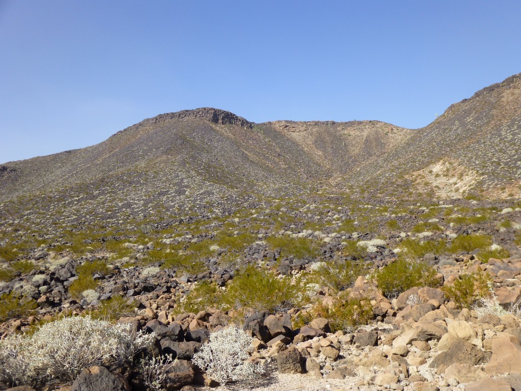
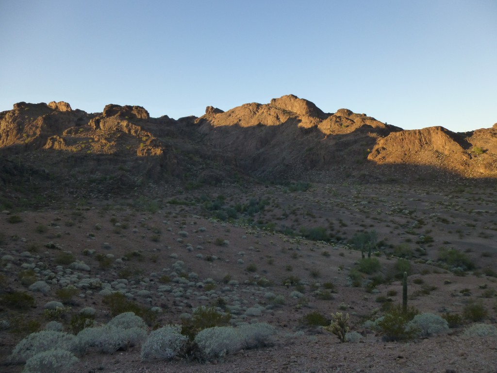
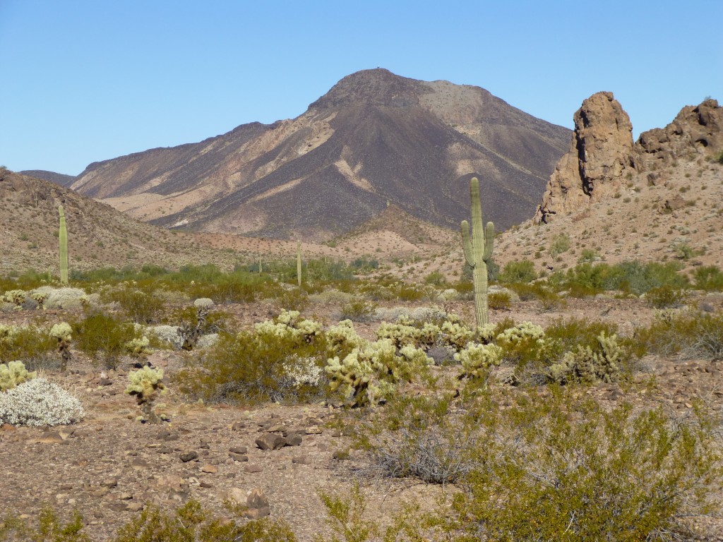
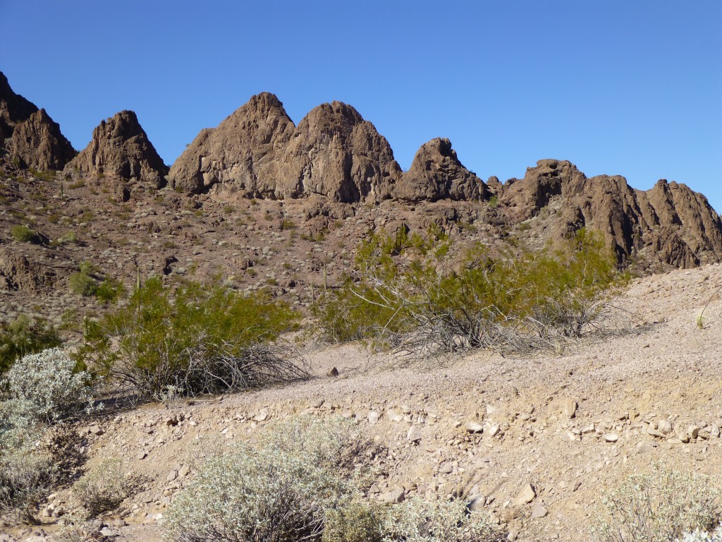
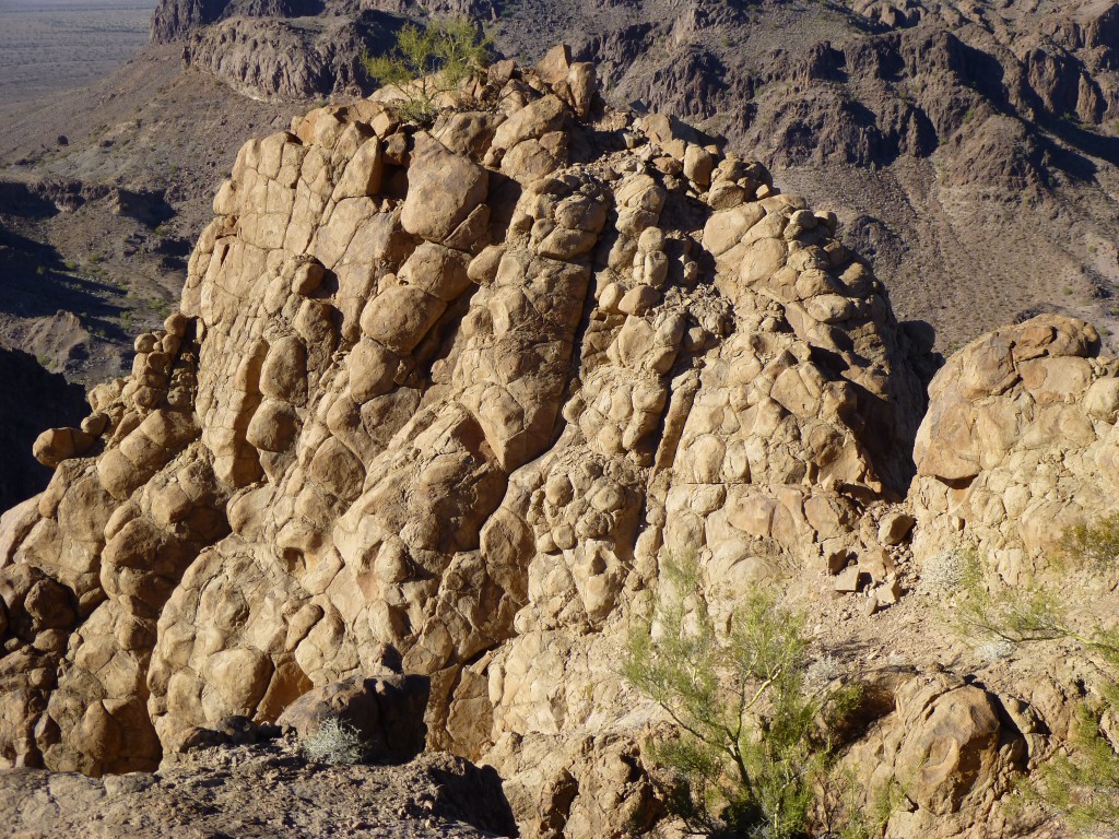
We had covered 21 miles to this point, and we found a small gully in which to hide the bikes. Although we hadn’t reached our stopping point for the day, there was a peak we needed to climb and it was time to start walking. Eagle Benchmark was the high point of the Aguila Mountains, and we had both climbed it years before; even though we’d be walking right past it, we didn’t feel the need to be the only humans to have ever climbed it twice. This south side looked like a crazy chocolate-vanilla swirl.
The day was clear, but very windy. As we headed west, over a low pass and into a beautiful valley, the wind whipped up clouds of dust from the desert floor and carried them high into the air, turning the sky into that milky-white color so characteristic of desert dust storms.
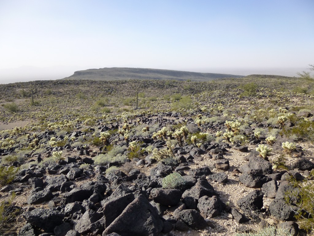
The northern part of the Aguilas consists of a 5-mile-long massif, shaped like some grotesque thing, fairly flat on top but otherwise steep-sided. We made our way to the northwest along the base of the escarpment, across the grain, through a seemingly-endless series of gullies. By the time we arrived at the south side of Peak 1703, we were glad to be able to start climbing.
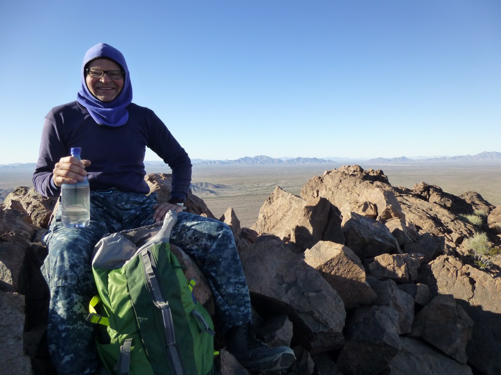
A thousand vertical feet, much of it on talus slopes, brought us to the summit. Man, the wind! – we hunkered down as best we could out of the blast and filled out a register.
Remember I said how we had tried so hard to keep our weight to a minimum – well, we’d brought a register for every peak we intended to climb – there’d be no skimping there. The air was becoming more filled with dust by the minute – you could actually see plumes of it being carried aloft. No doubt it was unhealthy to be breathing it, but we had balaclavas we could pull over mouth and nose if needs be.
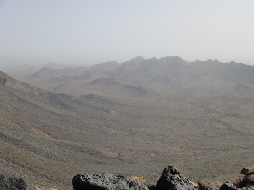
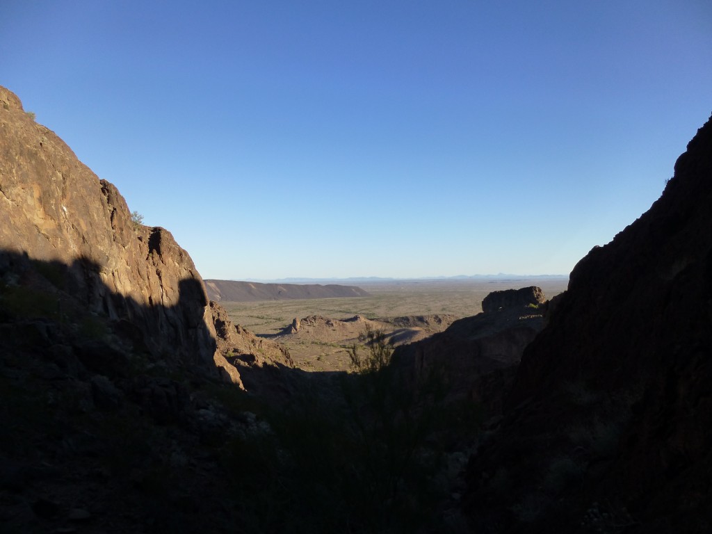
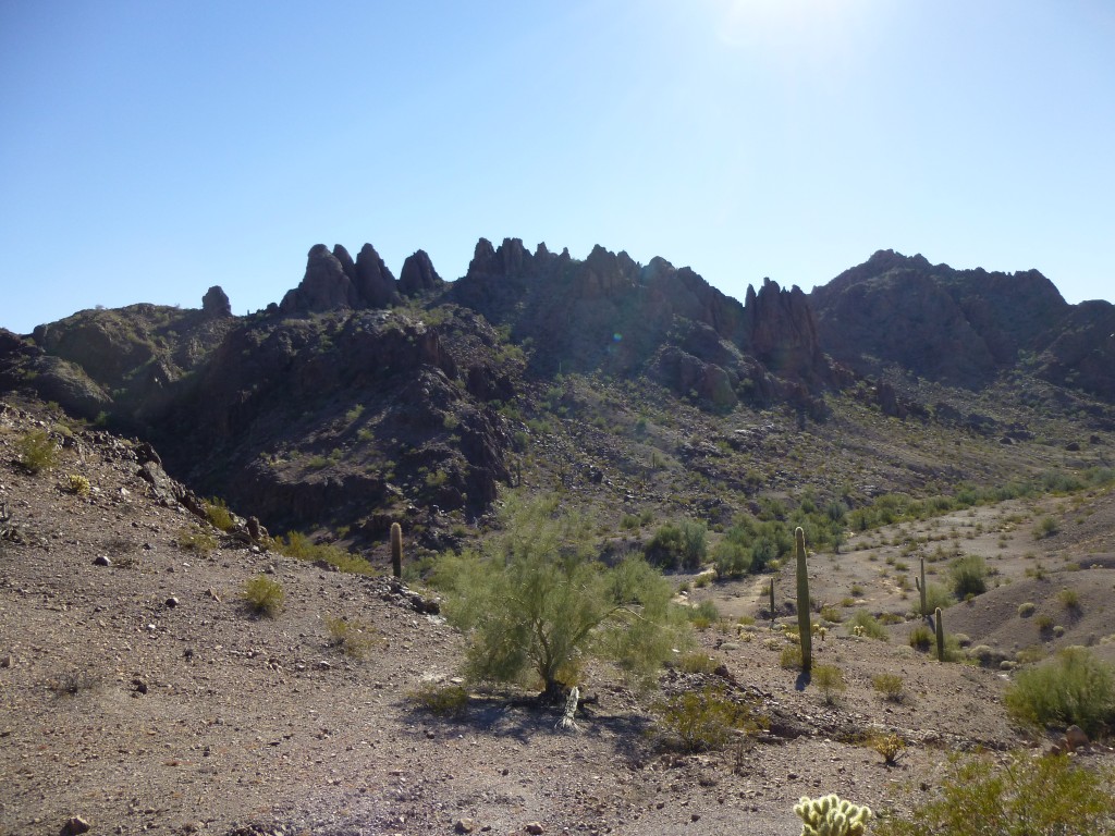
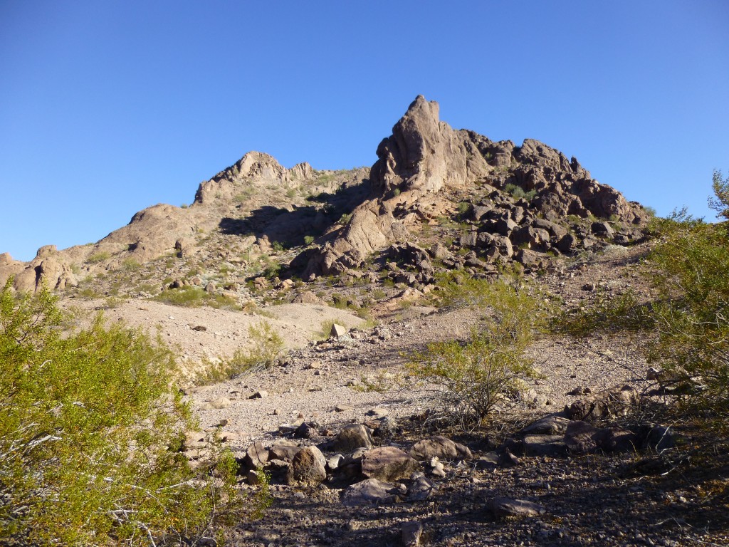
It was around three in the afternoon when we summited, and we didn’t stay up there long. We chose a slightly different way down and back out to the bikes, making things a bit easier on ourselves, but even so, over 5 hours had passed by the time we were done. On the way, we had this tantalizing glimpse into the central part of the range.
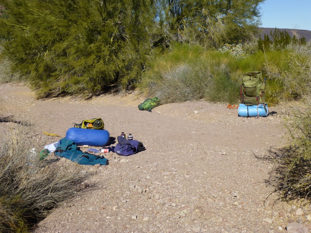
Mounting our trusty metal steeds, (groan!), we rode the last mile to a spot that looked like a good campsite in a sandy wash. Once there, we spent some time finding a secluded spot to hide the bikes; then, with a heavy bike cable, we locked them together and to a tree trunk – nobody was ever going to find them, we agreed, as we had been so clever. The bikes would need to stay hidden for several days until our return.
We set up our gear for the night, cooked some food in the fading light, then walked a hundred yards away from our gear to enjoy a campfire. It was chilly – the forecast had promised near-freezing temps every night, so that fire felt good. Some time was spent planning the next day’s climbing. We’d try to climb the 2nd- and 3rd-highest peaks in the range (today’s peak, 1703, was the 4th-highest, and you already know about Eagle BM, the range high point). Not only that, we’d also carry our gear to the next campsite, some miles away, near a water supply. I’ll always remember that night as one of the darkest and starriest I’ve ever seen.
The next morning, we arose early, cooked some oatmeal and headed out before the sun was up. Our first goal was to explore, to find a way to reach a peak that we thought we had glimpsed from afar. One thing we were noticing about the Aguilas was the lack of brush – there’d be no bushwhacking here. Half a mile to the west, we crossed a low pass and dropped down into a valley surrounded by amazing rock of all types.
A short walk south took us into a canyon whose walls quickly narrowed as we climbed. Since this was all new country that no climbers had ever visited, we were on our own – true exploration, which was thrilling.
As we approached the head of the canyon, we kept trying to decide where the top of our peak was. At a high saddle, around 1,600 feet, we knew we had to be almost on top of the thing, but still unsure, a GPS reading confirmed our worst fears – it was right beside us, atop a sheer cliff, but how to reach the summit?
With time on our side, we could fish around as long as we needed to solve the puzzle, so we thought we’d try to outflank the cliffs along the south side.
Well, down we went, dropping 100, then 200 feet – it was a matter of keeping going to see around the next corner. Our persistence paid off – things eased up, and we found ourselves climbing back up easier ground on the west, then the north side to arrive at another saddle a couple of hundred feet below the summit. Mark led up a series of slabs and ledges, pushing the route forward, and before too long he let out a whoop, saying we’d done it, we were there!
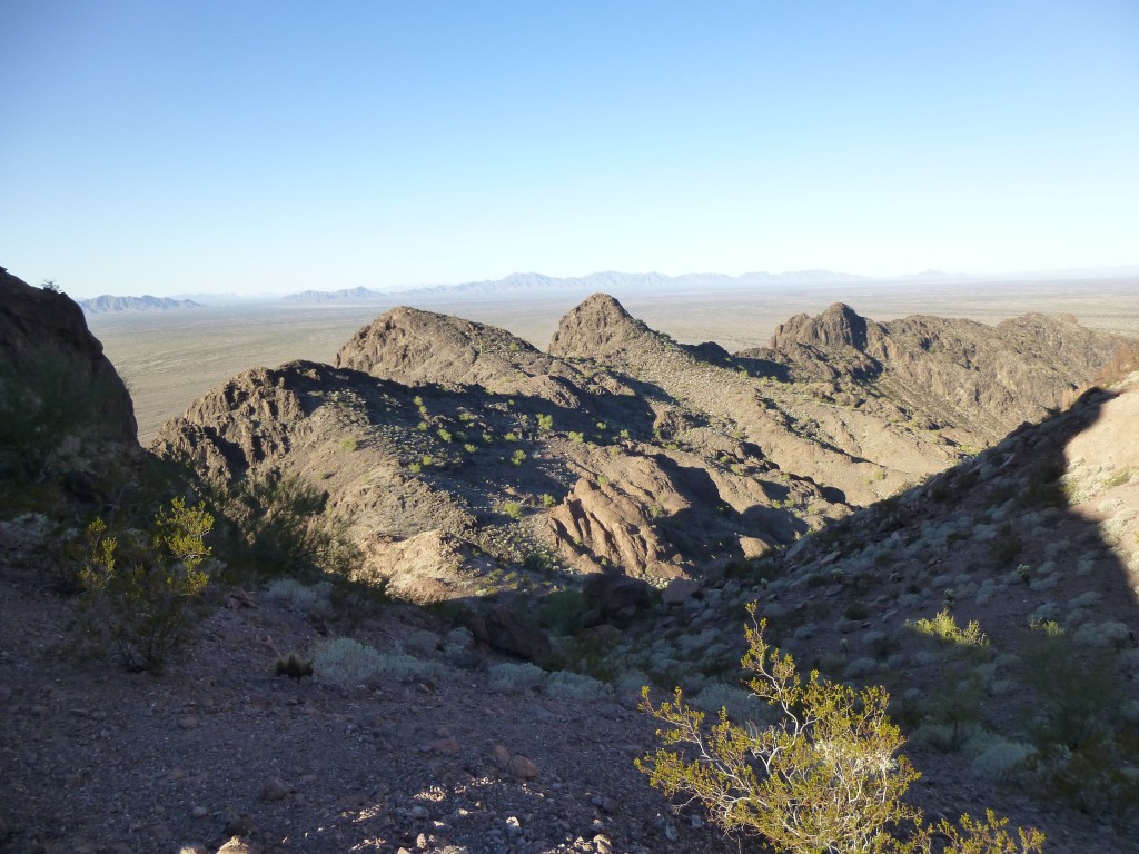
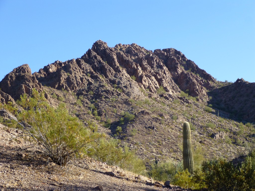
Nice route, nice rock, and there we were, on top of Peak 1715, the 3rd-highest in the range. What views! We certainly were getting a good look at much of the rest of the range, and we liked what we saw – this trip was living up to our expectations. It was barely ten in the morning, and the day was really looking up. Leaving this register felt especially good, like we were really doing some pioneering work. We found a shorter way down to the main canyon, and made good time back towards camp. On our way, here’s a view we had to the north.
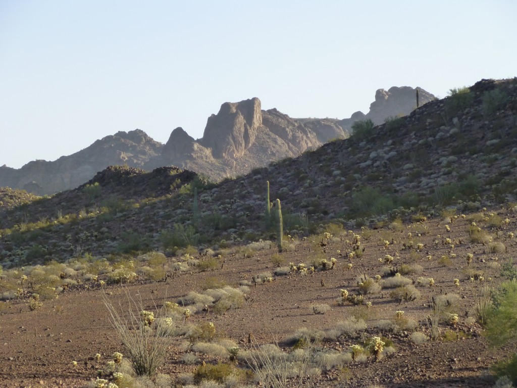
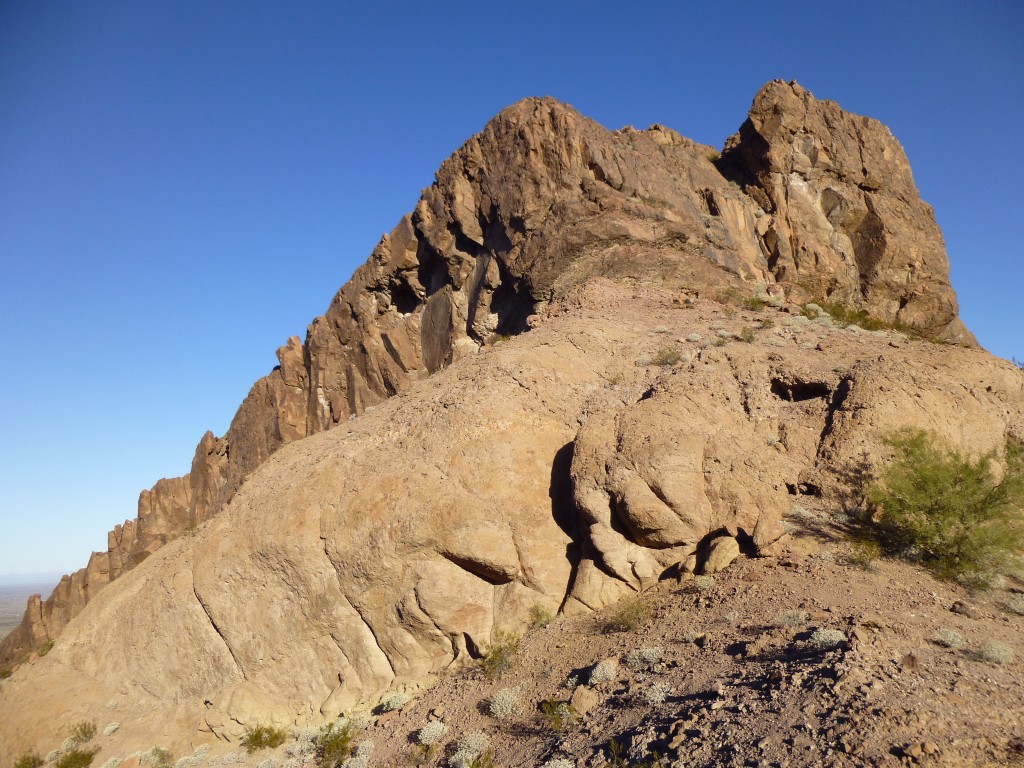
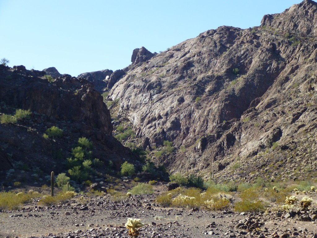
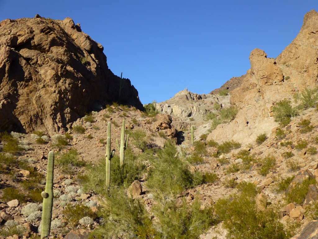
And here’s a look back towards the canyon – the summit of Peak 1715 is on top of the steep cliff in the middle, on the skyline. There’s no shortage of good rock in these parts.
We made good time back to our camp, with a 3 1/2-hour round trip. Hiding some extra food and fuel, and double-checking our bikes, we had a high degree of confidence that nobody would ever find our stuff – who, besides ourselves, would ever be out in such a remote place as this anyway?
Our packs were still heavier than we would have liked, but manageable.
It was a perfect day as we set out, heading south up a nearly-flat valley, and it was difficult to avoid being distracted by the spectacular topography all around us.
Straight ahead lay a low pass, and just beyond it a feature we had dubbed “the feathers” (as in “eagle’s feathers”). These pinnacles sat on a ridge just northeast of our next peak, and they dominated our world as we approached them. Thirteen of them in total, we had been looking forward to a closer look.
Over the pass we climbed, then down into the next valley, which led us southwest along easy ground. By one o’clock, we had dropped our packs and were ready for our next important task, a climb of the second-highest peak of the entire range. As we stood at its base, we looked up the steep north side for a good route. There were two possible avenues, both gullies – one wider, the other much narrower – and we ended up choosing the former. We climbed steeply and quickly, most of our route already in shadow, until we ran out of gully and arrived at a sharp ridge. It was hard to tell where the summit lay, but we pushed on and found a narrow path between rocky towers.
This turned out to be an exciting up-and-down route, and as we followed it our confidence rose – it looked like it was going to work. Some final scrambling, and it was done – at 2:00 PM, we stood on the summit of Peak 1750.
This beautiful peak had almost a thousand feet of prominence, and towered above its surroundings. A combination of a little luck and some good route-finding had put us on top. Mark filled out the register while I filmed our prize. The range stretched miles in every direction, promising exciting days to come. One thing we had been noticing was sheep poop everywhere we went, so we hoped to see some actual sheep before too long. This was an exciting peak, and we enjoyed the return trip across the summit and then down the steep gully back to our packs.
It was nice to be able to just leave our gear lying about and know it’d be there when we got back to it. Our round-trip time to climb this peak had been just under two hours.
Shouldering our loads, we continued west, then southwest, up this beautiful canyon.
As we moved farther up the canyon, we had this great view of Peak 1750 which we had just climbed.
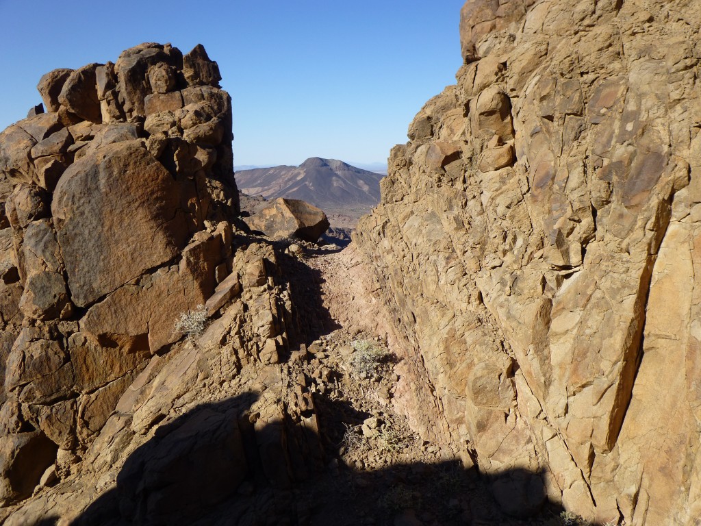
What we would find there had been a question mark for us for months – would we be able to drop down out of the mountains to reach Thompson Tank, our main source of water and base of operations for the remaining nine peaks, or would we be stumped by ground too steep to negotiate with our heavy packs? Our excitement rose as we came to the crux. Dropping our loads, we walked over to the edge and peered down. Yes! There was a narrow, rocky gully we could use, and it would safely drop us down the 200 feet to the tank. It was short work to make our way down and over to the man-made water catchment, where we arrived at four o’clock. Here’s a look back to where the gully spilled out of the mountains down to the area of the tank.
First things first – we carried our gear down to a nearby wash and found a good spot to camp. Dumping everything there, we walked back up to the tank – it was time to fill our water bottles. Since the success of our trip depended completely on having enough water each day to drink and cook, Thompson Tank was our lifeline. Here’s how it all worked.
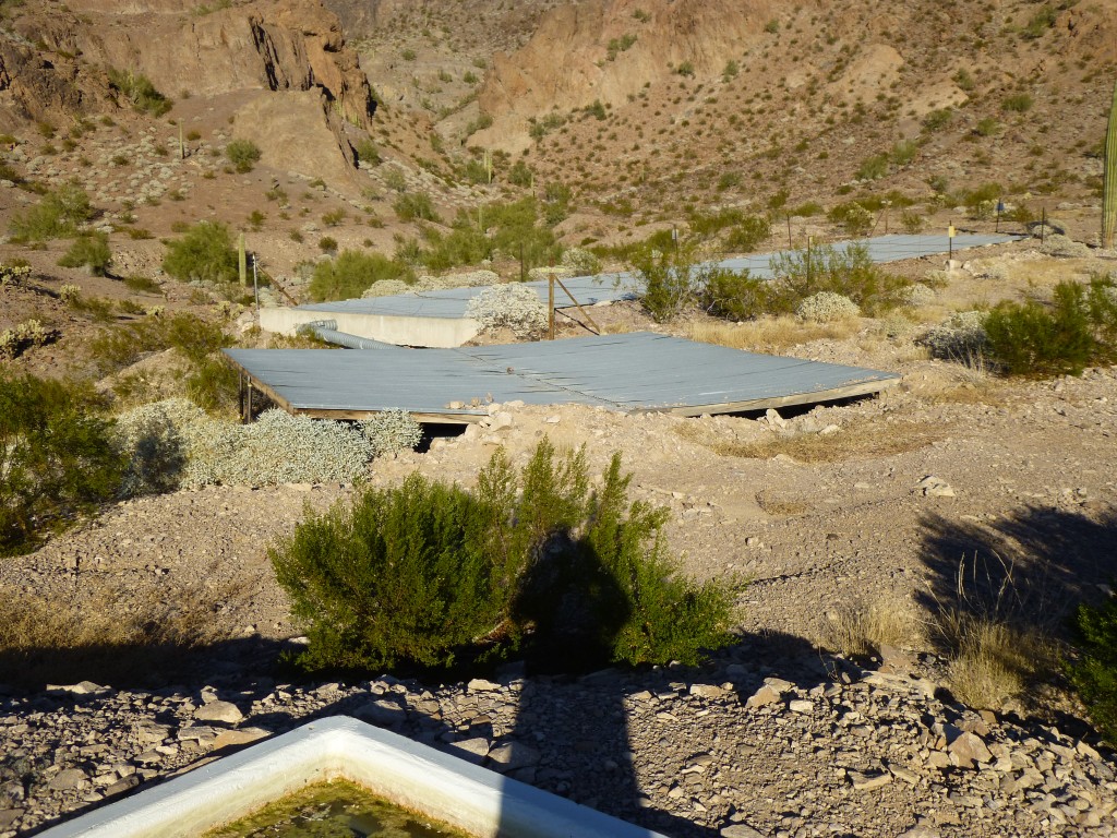
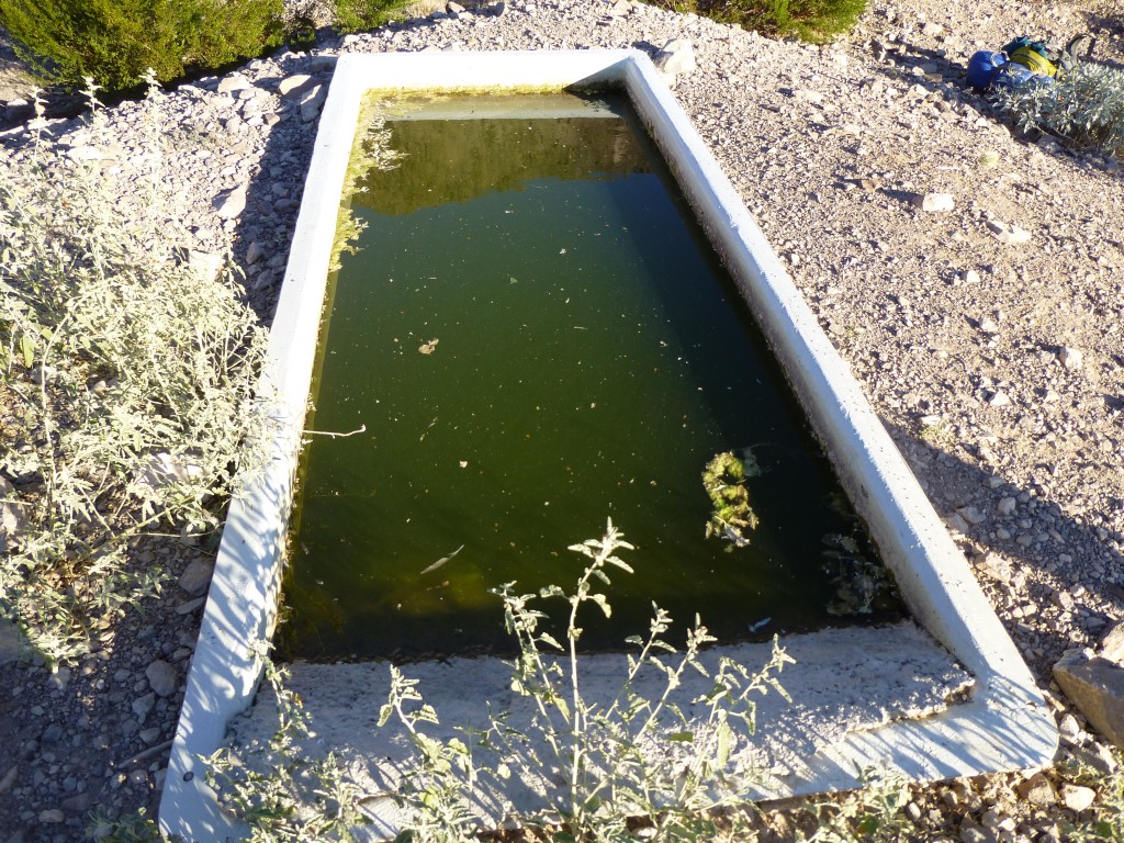
Sheets of corrugated metal lay on the ground, sloping downhill. Any rain that fell ran down the sheets and was collected by a pipe, which then fed the water into an underground tank. Gravity fed the water from the tank to a “drinker”, which was nothing more than an open trough. The drinker was kept full by a hidden float mechanism back at the underground tank. Actually, there were two tanks at this site: one held 12,500 gallons; the other, 5,000 gallons. Although this area sees only about 4 inches of rainfall in an entire year, the large area of metal gathers every drop and stores it safely underground so it won’t evaporate. This water is not meant for humans, as there are none out there, but rather, for wildlife. In the case of the Aguila Mountains, that would include deer, bighorn sheep, mountain lions, coyotes, javelina, rabbits, rodents, foxes, badgers and many birds.
The water in the drinker looked nasty, but we weren’t concerned – we had a water filter. All we had to do was put the intake tube into the water, then hand-crank the device and out came pure, clean water. After pumping a quart or two, we noticed that the filter was acting up – no matter how often we cleaned it, it worked less well, and soon stopped working altogether. Gadzooks, now what! We had to have water, or we were done for. Piece of crap filter. Okay, let’s not panic, let’s go to Plan B. We filled a can with water straight from the drinker, poured it through a piece of cloth to remove the bigger chunks, then put iodine tablets into the bottles to kill anything else. The water had a bright yellow color even before adding the iodine.
Mark said it tasted like green tea, while I wasn’t so generous. Cooking with it wasn’t so bad, it didn’t affect the taste of the food too much. All the water we drank on the trip had Vitalyte powder added to it, with flavors such as orange or grape. This was an electrolyte replacement, important even in the desert winter. That made for a fairly palatable brew. It was important to strain it through cloth, as that removed the scum, the dead bugs, the live bugs, bird feathers, etc… If Mark hadn’t brought those iodine tablets as a backup, we’d probably have developed some nasty intestinal disorder.
We set up our campsite, then got down to the business of preparing some supper. Each of us had a tiny stove that screwed on to a small cylinder of a butane-propane mix, and those did a good job of boiling water for our noodles. As we cooked down in the wash, it became completely dark and we turned on our headlamps. The temperature dropped quickly and we added layers of clothing as we chatted about the great day we’d had on those two peaks. Then something totally unexpected happened, something that scared the hell out of us.
Mark was facing up towards the water tanks as he cooked his food, and what he saw changed everything. He said something to me, alerting me to the situation, and I turned around and looked up the hill. There, in plain view, were four very bright lights, the kind that climbers wear on their heads to keep their hands free at night. They were spread out along a line maybe 60 or 70 feet long, and approaching us quickly out of the darkness. A voice, loud and clear, shouted out in English “Come out where we can see you, and keep your hands up and in plain view.”
Please stay tuned for the continuation of this story, to be entitled “The Eagle Has Landed – Part 2”

