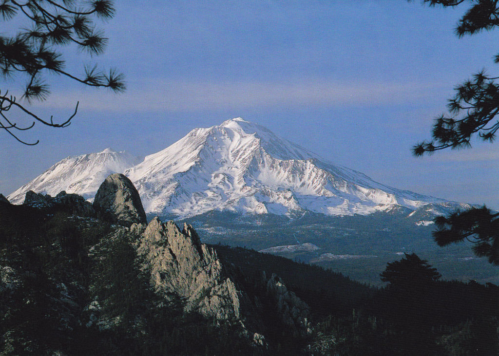
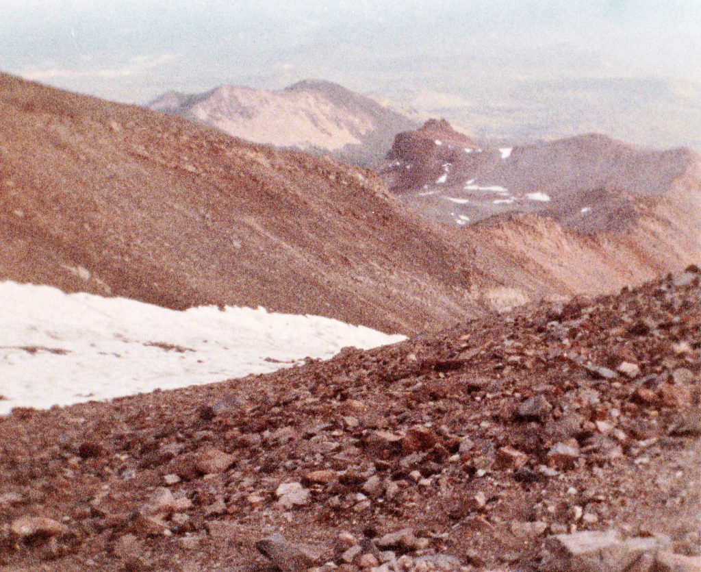
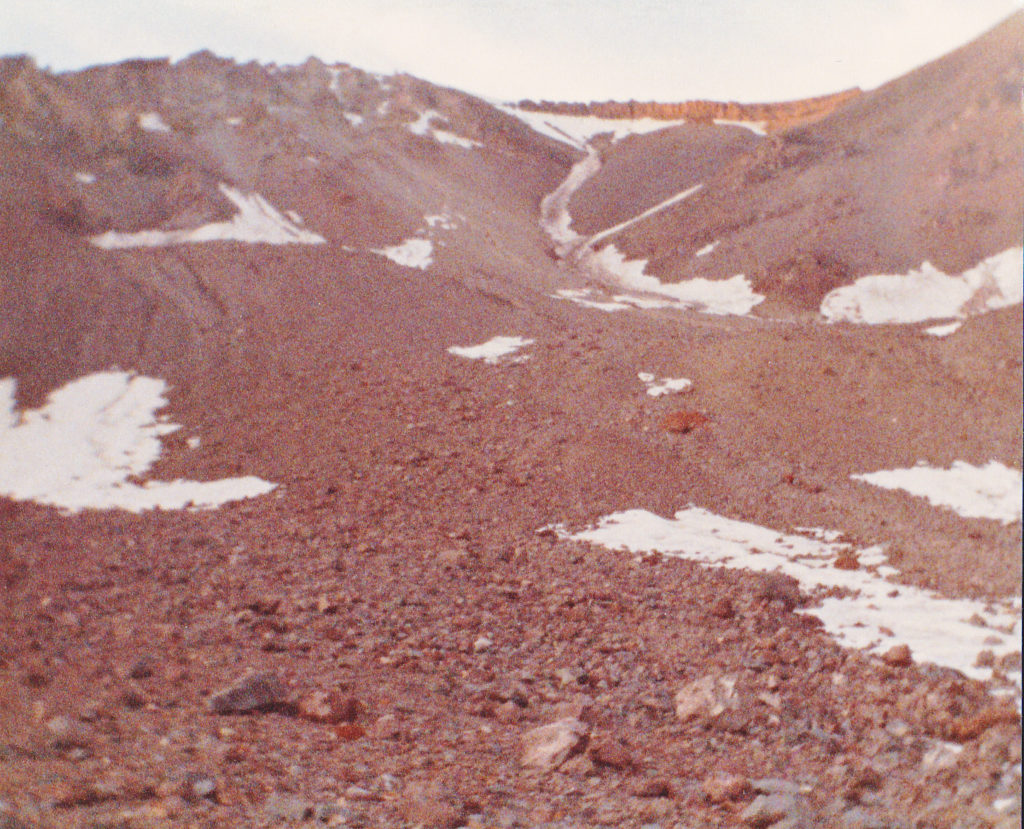
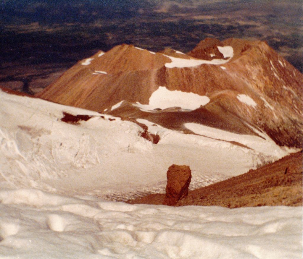
If you’ve ever driven on Interstate 5 through northern California, you’ve probably seen Mount Shasta. At 14,162 feet elevation, it towers above everything else in the region, so that on a clear day it can be seen from a long way off in every direction. Mt. Shasta rises more than 10,000 feet above its base elevation and is one of the most beautiful summits in the American west. In the entire Cascade Range, only Mt. Rainier surpasses it in height, and then by a mere 248 feet. However, with a base diameter of 17 miles, Shasta surpasses Rainier in volume. Nearly 7,000 feet of Shasta lies above treeline, which only adds to its dramatic appearance. Like millions of others, I had admired it when passing by and had wondered what it’d be like to climb it. About 15,000 people try to climb the mountain each year, and about one-third of them succeed. Although tempted from time to time, I was never in the area long enough to give it a try – until 1988, that is.
Three glorious weeks had been spent climbing in the Canadian Rockies, with ascents of classics like Mt. Edith Cavell and Mt. Athabasca. After that, on the way back south, I’d completed an enjoyable ascent of Mt. Hood, then a slog up what was left of Mt. St. Helens, both with Susan, before arriving at Mt. Shasta. One fine morning, she and I drove the paved road up to the Ski Bowl Trailhead at around 7,840′. She wasn’t interested in climbing to the summit, but said she’d accompany me for a while. I prepared a light pack with no tent, but a sleeping bag for a bivi higher up, as well as an ice axe and crampons. We set out on that fine day, July 25th, and followed a trail which started right near the end of the road and the parking area.
The trail, which was actually an old road, was wide and sandy at its start. It headed north through the open bowl that was the former ski area, and it was a truly spectacular area. It was all above treeline, so nothing hindered the view. Up and up it went, and ruins of the old ski lift equipment could still be seen a thousand feet above the parking lot. Another bowl opened up to the north of the sheer wall of Green Butte, and we cut up and across this basin. There was a lot of rock everywhere, not outcrop but talus, and some of the pieces of rock were large.
It was in that area, at around 9,000′, that something curious happened. We had stopped for a rest, and as we sat there on some rocks, we happened to look down and spotted a metal can almost hidden from view. I fished it out and, imagine our surprise when we saw this. (this photo was taken in my back yard)
The can was in surprisingly good condition, but how appropriate – a Shasta soda can, lodged in the rocks high on Mt. Shasta itself. The can was steel, not aluminum, and did not have a pull-tab – it was the kind you had to open with a can opener. I’ve gone on line and learned it was from the 1950s.
Before long, Susan decided she’d head back down to the parking lot and camp there for the night – I’d join her the next day after my climb. Continuing up and to the west, I crossed over an easy ridge and found myself in Avalanche Gulch, probably the most-used route to the summit. It didn’t take a whole lot more time to continue up the slope and arrive at Helen Lake, a popular overnight spot at 10,443 feet. A small tarn, it was barely 100 feet across, and completely frozen. In fact, I spent the night sleeping on the ice.
Bright and early the next morning, I was moving directly upslope, still in Avalanche Gulch. There was a rocky area called The Heart, which I passed on the right. I wasn’t alone, there were others climbing as well – a couple with a baby! He had one of those child carriers with the baby in it on his back. We adults were puffing and panting with the exertion, but the baby seemed fine and unconcerned. I reached an area called the Red Banks at around 12,800′, which I outflanked on the right up a steep slope, then through a chimney to the left of Thumb Rock. This took me through the first layer of the Red Banks. Then I headed east, looking for the best way through the upper layer – it was easy to find, an easy notch which was less than 10 feet high.
Once through the Red Banks, I found myself alone and on a small plateau at around 13,200′. Above me stretched a feature known as Misery Hill, several hundred vertical feet of steep snow slope where many climbers give up and turn back. At the top of that, things leveled out again and I could finally see the summit pyramid for the first time.
All that was left now was to walk up a gentle slope of hard snow, taking me over to an area of bare dirt. It was bare because of the fumaroles present – hot, sulfurous gases and little bubbling pools of clear water, a clear reminder that Mt. Shasta is still an active volcano. You could get scalded by the hot water, and breathing much of the smelly gas could be harmful. From this bare patch, it was a 200-foot climb up the final steep slope of icy snow and rock to the exposed summit at 14,162 feet. It felt great to finally be there, a long-time dream fulfilled.
It was way too cold and windy to stick around, so I soon headed back down, retracing my steps down Misery Hill and through the Red Banks. From there, it was quick work to reach Helen Lake, where I picked up my gear and continued down, reaching the parking lot by 3:00 PM where I found Susan waiting. I had really lucked out, as the weather had been cloudless during the entire climb.
Two years later, Susan and I were once again on the road for a summer of climbing. We stopped and climbed Lassen on our way north, then did McLoughlin, Thielsen, Adams (ours was the first climb on the south side that year), failed on Rainier, then did North Sister and Middle Sister. July 4th saw our arrival at Shasta, and we set out together from the old Ski Bowl Trailhead once again with overnight packs. Following the same route as two years earlier, we arrived at Helen Lake by late afternoon.
It didn’t take long to set up for a bivi – that done, we went over to the downhill side of the frozen lake and sat and watched the Fourth of July fireworks display of the town of Mt. Shasta 7,000 vertical feet below. Usually, when you watch fireworks, you are looking up into the sky at them. Here, we were looking steeply down on them, and it didn’t have the same dramatic effect because they blended in with the features on the ground.
Susan had been looking forward to a climb of Shasta, feeling badly that she hadn’t done it with me two years earlier. We were determined to summit no matter what. After a restless night’s sleep, we set out with day packs at first light. Conditions were pretty much the same as two years before, although being three weeks earlier in the season resulted in there being more snow still on the mountain. It was mostly clear above us, with some scattered clouds. We climbed strongly up the 2,400 vertical feet to the base of the Red Banks, in deep snow nearly all of the way. By the time we climbed up through both bands of the Red Banks, it was becoming cloudier and windier. At times, we had to stop for a bit to wait for better visibility, then continue. By the time we reached Misery Hill, we had to put on crampons – the snow was rock-hard. It would have been dangerous to carry on without crampons and ice axes, so we were glad we had them. On the gently-sloped walk over to the base of the summit pyramid, by the fumaroles, the clouds thickened. Our view from the summit was hit-and-miss as clouds swirled past.
It was miserably cold on top, and we didn’t stick around. The clouds concerned us, and we knew that they could cause problems for us on the way down. Descending to the fumaroles was straightforward enough, as they were directly downslope from the summit. Once there, though, our luck ran out. The clouds had thickened to the point where they were solid, and we were in a complete white-out – it was hard to see 10 feet ahead of us. This was not a good situation. We had map, compass and altimeter, but that was it – this was years before GPS became generally available. It was about 1/4 mile from the fumaroles along gently down-sloping ground to get back to the top of Misery Hill. It was very important to get there, because to go astray at almost 14,000 feet with no visibility could easily put us on a wrong slope and end us up in a bad place. At least if we could get back to the top of Misery Hill, we could then figure out our next step.
The white clouds swirling over the white snow made it nearly impossible to see any details on the ground. We had left no footprints, and our crampon points had made only the tiniest indentation in the ice-hard snow. Trying to follow those marks, we found ourselves down on our hands and knees many times, trying to find those pin-pricks so we could move ahead a bit farther. To make matters worse, if we wore our sunglasses against the glare, we couldn’t see the faint marks in the snow – we had to take them off to get any sense of contrast in order to see the crampon marks. The downside of doing that was that the longer we had our sunglasses off, the more the glare (even with the clouds) hurt our eyes. If you do that long enough, painful snow blindness can result. We found ourselves walking a bit apart, from 5 to 10 feet, faces close to the ground, actually crawling at times, trying to find and stay on the path of those crampon marks. It seemed to take forever to cover the quarter-mile to the top of Misery Hill, but we finally made it. There were times before we got there that we were genuinely afraid and the situation seemed desperate. If we had placed wands along our route, it would have been easy to retrace our steps, but I can’t imagine climbers using wands on Mount Shasta.
As we started down Misery Hill, we felt a bit easier about our situation, but it was still touch-and-go. By the time we’d dropped the 600+ feet down to the top of the Red Banks, visibility had improved noticeably and we were feeling a whole lot better. We made short work of the Red Banks, and then it was a quick boot-glissade most of the way down to Helen Lake. Our stuff was still sitting there, undisturbed, and as soon as we’d packed up we started down. A few hours later we were all the way back down to the parking lot, feeling elated about the climb, but also realizing we had dodged a bullet up there in the clouds. On the long drive back to Tucson, we were interrupted by a quick ascent of Mt. Whitney on July 8th, which went without incident. However, 6 days after we stood on the summit, a bolt of lightning hit the metal-roofed stone hut, killing one and injuring 15. Funny how things work out. I guess it was not our day to die.
Please visit our Facebook page at https://www.facebook.com/pages/Desert-Mountaineer/192730747542690


