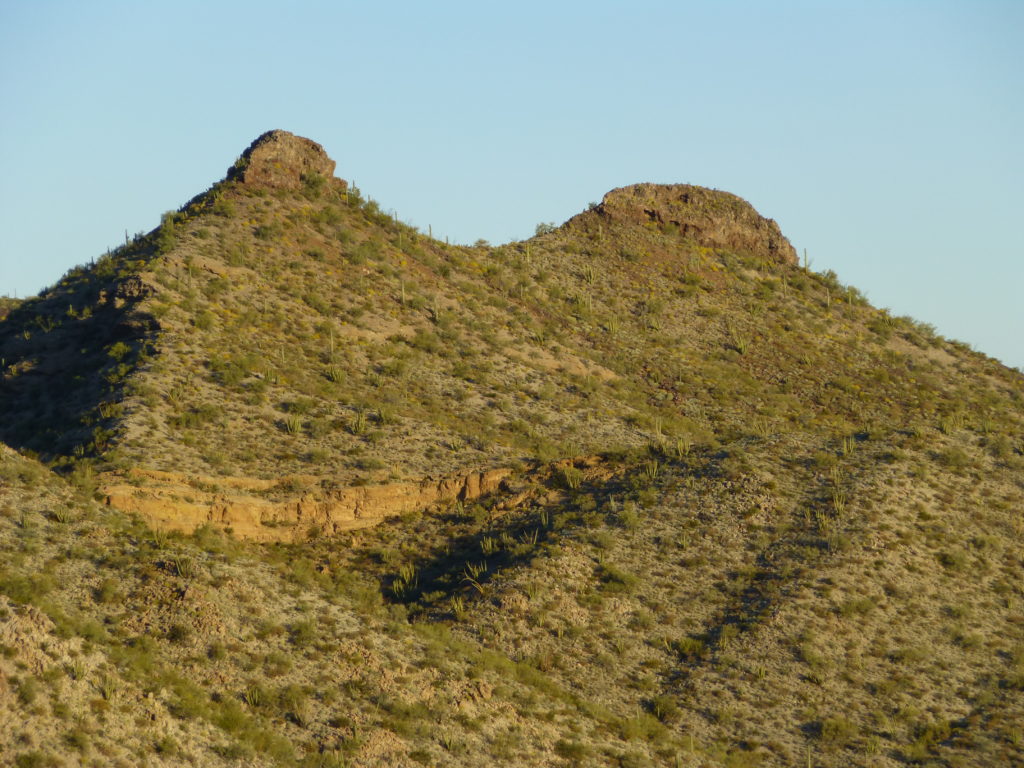
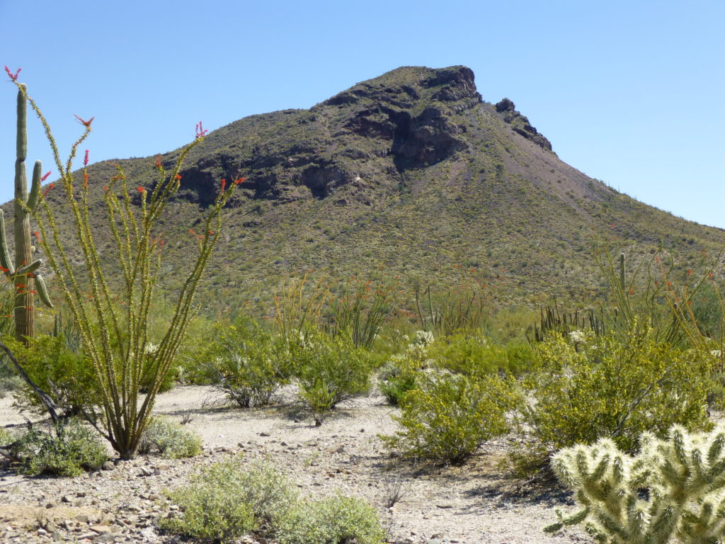
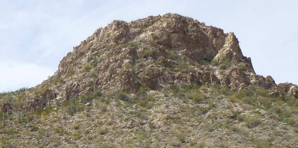
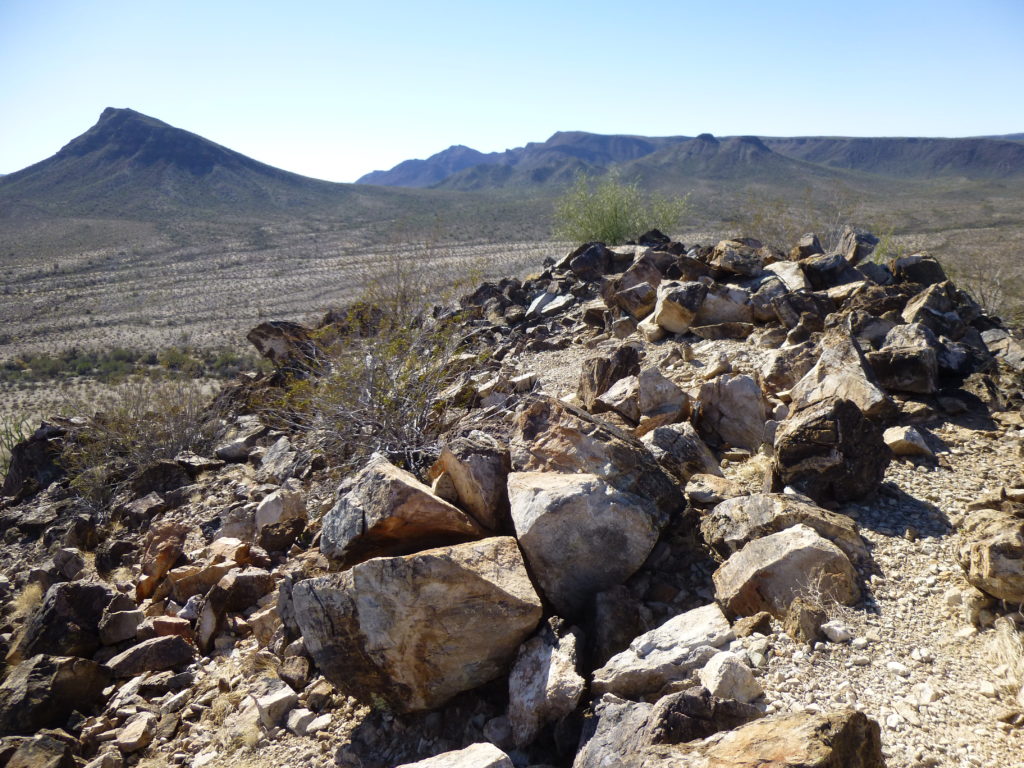
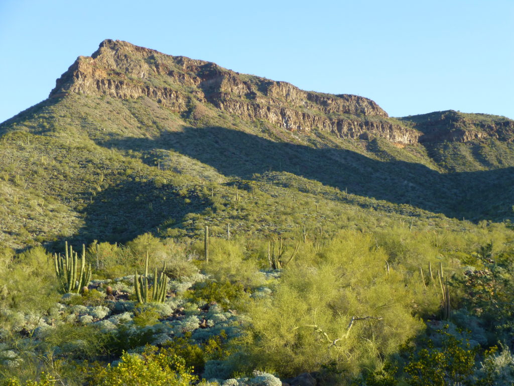
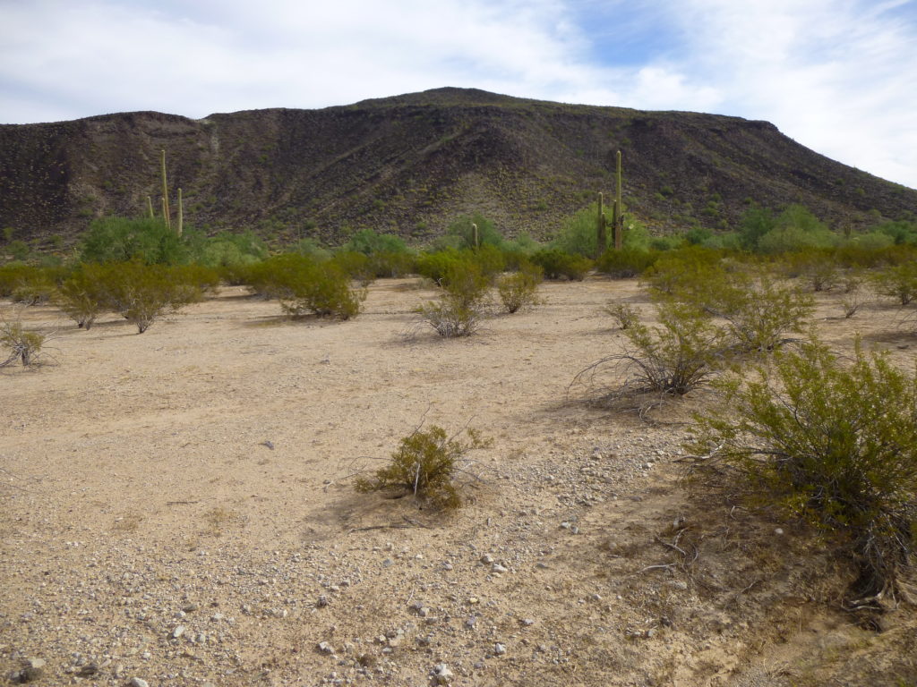
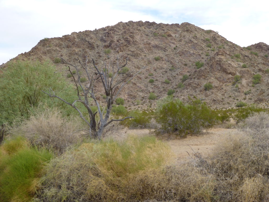
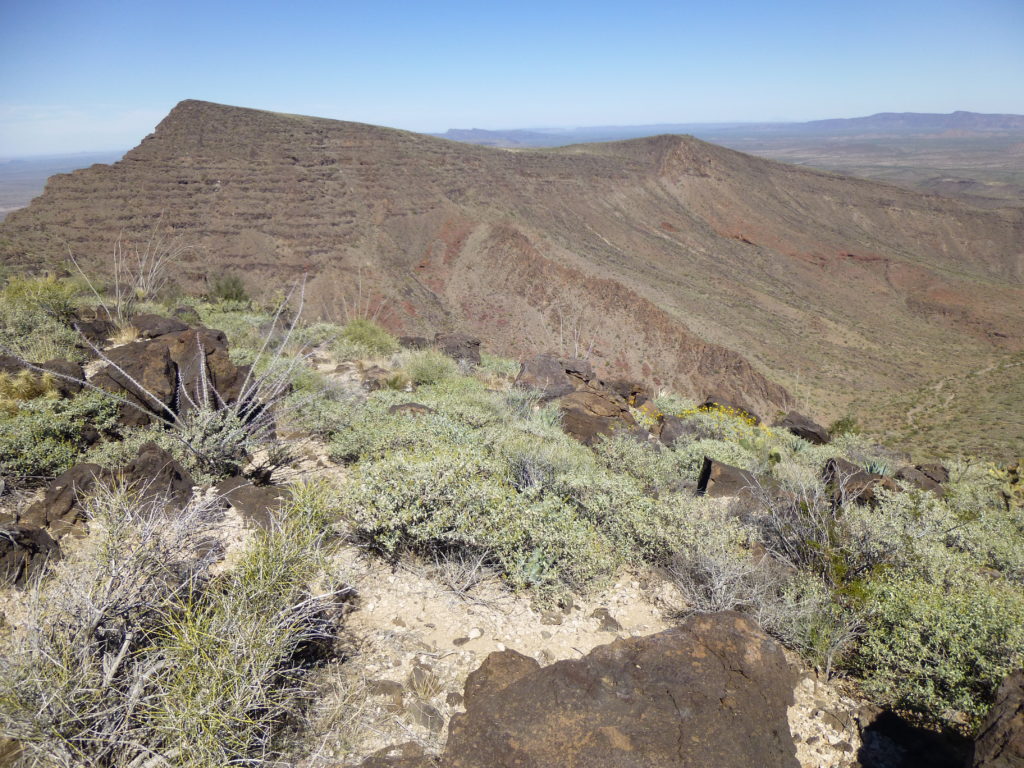
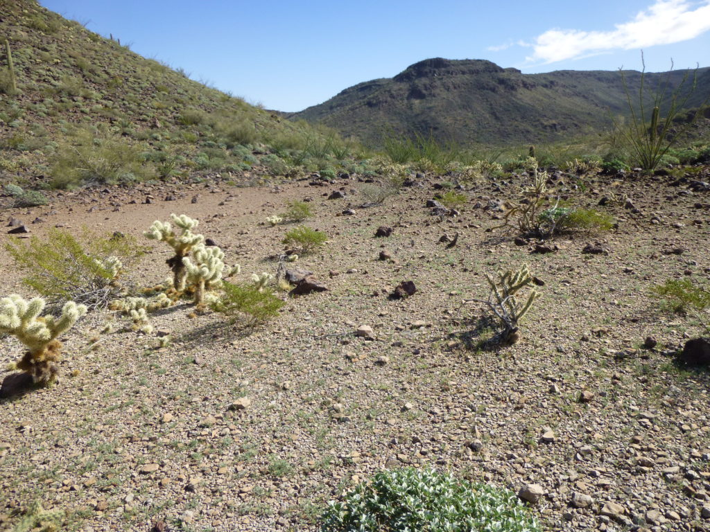
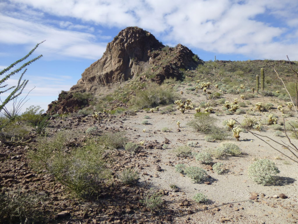
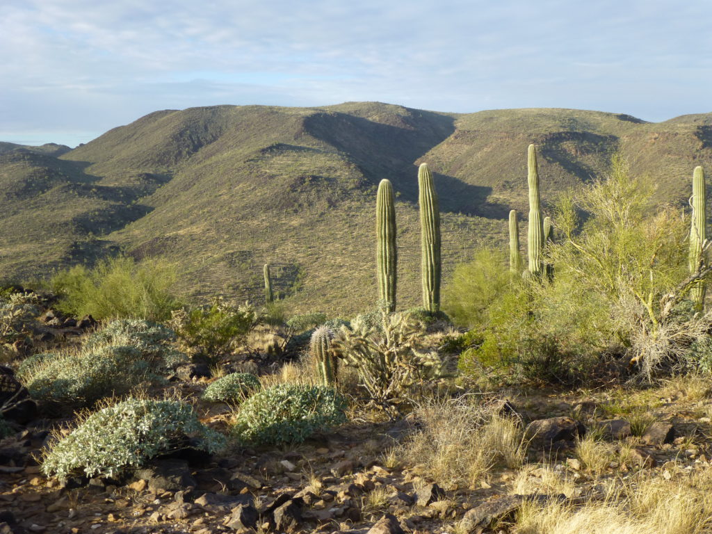
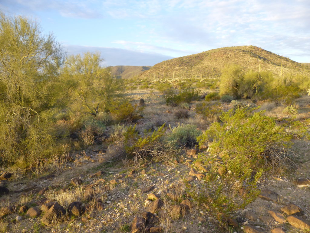
One of my favorite mountain ranges in the state of Arizona (we have 193 different ones) is the Growler Mountains. At 26.4 air miles in length, it’s certainly not our longest. Its total of 29 peaks isn’t our largest. It’s not even our most isolated, but when you’re out there, civilization seems very far away. One superlative that might be applied to the Growlers, though, is that of all our ranges it could be the most outrageous. I think you’ll get a sense of what I’m talking about as this story progresses. Oh, the name itself – it’s unusual, I know, but an old-timer named Frederick Wall named the range after John Growler, an early miner.
It’s where the Growlers are that plays a major role in making them so interesting – the southern end of the range sits a mere 16 miles from the Mexican border. From there, they run NNW into some of the remotest desert in the state. Road access is pretty limited – at the southern end, and one other spot about two-thirds of the way up.
My idea was to take you on a journey through the Growlers, and I’ve been debating just how to do that. One way could be to tell you about each of the peaks in the order in which I climbed them; another might be to start at the southern end of the range and move through it all the way to the other end. Having given it some thought, I’ve decided to go end to end, so lets start.
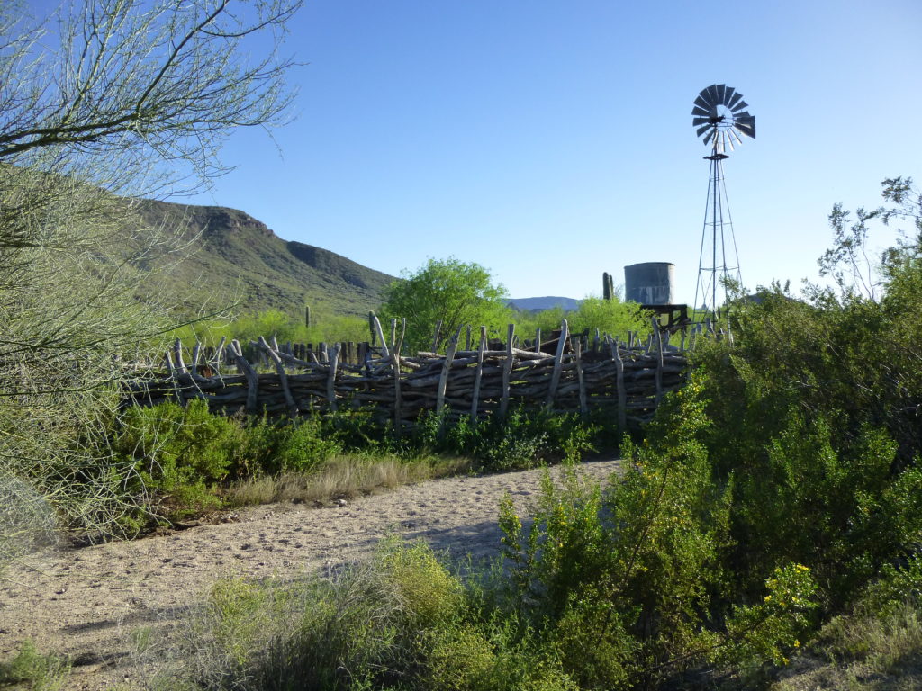
The southern end of the Growlers is near an old ranch house by Bates Well, which happens to sit along a historic road called the Camino del Diablo (it has been used for centuries).
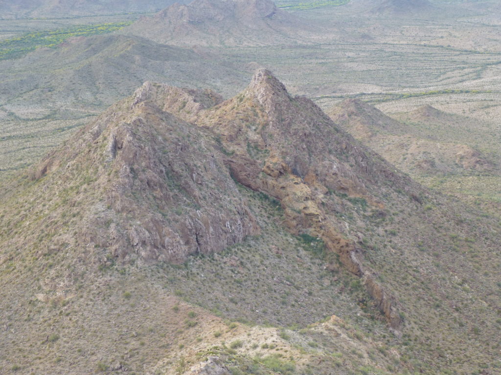
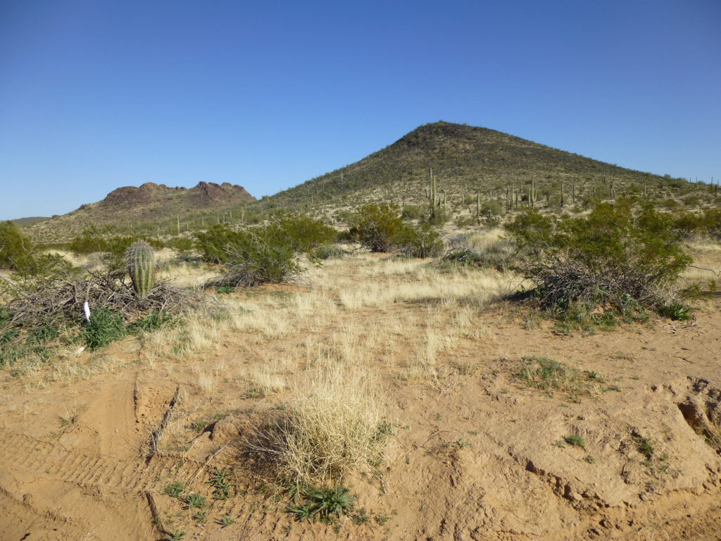
Our first mountain is called Peak 2230, and although it sits just under a mile north of the road, it offers some steep climbing on decent rock. In the next photo, you can see its highest point, the sharp pyramid on the right side. I’m going to link all of these peaks to the Lists of John website – this will not only show you the topography of the peak, its location and surroundings but in many cases link you to a write-up which will tell you more about the climb itself. All you need do is click on the highlighted peak name.
About half a mile north of 2230 is Bates Benchmark (elevation 2,610′), a thousand-foot climb that got my heart a-pumpin’ – not from any exertion, but the circumstances. The afternoon before I tried it, the Border Patrol had a helicopter circling the summit to flush out some drug cartel smugglers on the summit. I witnessed all of that from the desert floor, and was plenty paranoid early the next morning when I went for the top.
If we move another mile to the north, we come to the lovely Peak 2591 – it feels like you’re getting far away from all of the hustle and bustle when you’re on this summit. It takes a bit more effort to reach this one, but it’s worth it.
Moving just over a mile to the northeast of 2591 puts us at Peak 2242, a quick climb with a nice bit of rock near the top. Only 4 climbers have visited this one, and that’s a shame, as access is good – you can drive to within 2 miles of it. A hive of wild bees got my attention on this climb.
Scarface Mountain (elevation 2,546′) – I love the name, and I’m guessing it’s from the appearance of the peak from the west, where a huge chunk of the mountain has fallen off and left a scar hundreds of feet high. Scarface is an easy climb from the north, and sits a mere 2 miles north of Growler Pass, a feature which divides the Bates Mountains on the south from the Growler Mountains on the north.
Just east of Scarface is Peak 2141 – you can drive right to the northern base of it. It’s one of the smallest in the entire range, but offers an airy, exposed climb along the summit ridge. This one is off everyone’s radar, but it shouldn’t be – go check it out.
There’s one more that could be considered to be part of the Growlers, but it sits right in between them and a tiny range called the John The Baptist Mountains. It’s called Lime Hill, and rock has been quarried there in the past. It doesn’t really meet the criteria to be a peak, as it rises only 250 feet from the surrounding desert, but it’s there, so I’ve included it in this article. Here’s a look at it – click on the link.
https://listsofjohn.com/qmap?lat=32.2277&lon=-112.9253&z=12&t=u&P=300&M=Desert+Mountaineer
The Border Patrol keeps a watchful eye in this area, as Bad Guys stream through here, through a pass west of Scarface unofficially called “Bluebird Pass” after the old Bluebird Mine. If you camp out near here, you’d better sleep with one eye open.
So far, we’ve been dealing with a group of 6 peaks in the southernmost part of the range. Now we’re going to move out to more remote areas.
One hot March day, I went with Jake and his father across the desert to the base of Peak 2569. We did a Class 3 climb on crappy rock and made it to the top of this fine, isolated summit early in the morning. We were the first climbers to reach this spot, but discovered that Bad Guys were sometimes using it as a lookout.
Before we continue up the main spine of the range, I should mention the 2 outliers (foothills, if you will) that sit out to the west. Peak 1787 is a 4.5 mile-walk north from the Camino – 3 of us have taken the trouble to go there.
The other one is farther north. To reach it, you’ll walk past 1787, past Palo Verde Camp, and across the desert for a full 9.2 miles in total to reach Peak 1483. This one is a real stretch, and I was the one fortunate enough to set the register.
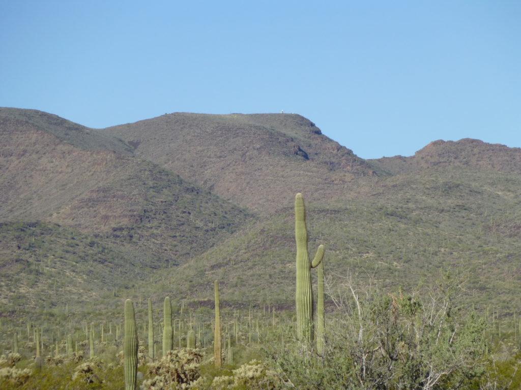
Okay, back to Peak 2569. Now we can start to have some real fun in the Growlers, so let’s stay up high along the spine of the range. This is such amazing country. The land slopes gently down to the northeast to the valley occupied by Daniels Arroyo. But, if you’re walking north along the height-of-land, on your left side the land drops sharply off, a whopping 2,200 vertical feet to the desert floor (known in these parts as the Growler Valley). Travel 3.4 miles along the ridgeline and you’ll come to Peak 3290. For years, this triple summit has been the subject of some debate. It’s exact height is uncertain, it’s elevation of 3290 is interpolated.
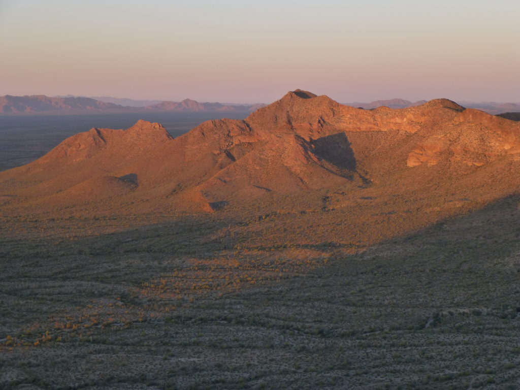
The east side of Peak 3290, seen from the valley bottom near Daniels Arroyo. 3290 is the big flat one in the center
The northernmost of its 3 bumps is the highest, but the debate here is whether or not that point is actually higher than Gro Benchmark, the accepted range high point just to the north. A few have visited 3290, as did Andy Martin and I in 2014, and we felt certain that Gro was higher after sighting in both directions. 3290 is festooned with communications equipment, which seems out of place out there.
Gro has been surveyed at 3293 feet, and has been visited by possibly more climbers than any other peak in the range. Its status as the range high point makes it a real draw, yet only a dozen or so have made the effort to get all the way out here – it’s a long way from anywhere.
If we leave this high point and continue north, staying on the ridge crest takes us through many changes of direction and a lot of up and down. You’ll need to travel almost 4 more miles before reaching the next landmark, a low point called Temporal Pass. I’ve been there once, a lonely spot indeed. Even though it sits at a mere 1,970 feet, it still towers a thousand feet above Growler Valley.
If you’ve traveled along this ridge all those miles, you’ll have noticed something about this range, and that is that you’re not alone. You will already have met several scouts – lookouts for the Mexican drug cartels. They keep their lonely vigil up on the high points where the view is long and unobstructed. They live up there for weeks at a time, being spelled by others at intervals. With their encrypted 2-way radios, they keep in touch with their fellows, guiding drugs and undocumented immigrants through to points north. These are bad men who are up to no good, wanted by the law, and running into them is always a brown-trouser moment. The sad part is that as soon as law enforcement arrests one of them, their masters quickly replace them.
Just above the pass on its north side sits Peak 2250. It’s a small peak, rising steeply up from the pass, and is a regular hang-out for scouts.
If you make the trip north from here, you’re going to cover only a few miles to the next peak, but it’s going to feel like a lot more. It’s tough going – steep, tortured, and this stretch is ground zero for Bad Guys.
A high peak, 2870, is next in line. This one, with a thousand feet of prominence, saw its first climber only 3 years ago, but has now been visited 2 more times. For some reason, it had escaped scrutiny all those years. I had an exciting visit to this one, and that’s putting it mildly – click on the trip report on Lists of John to share in my adventure.
Down on the valley bottom to the east, we find Peak 2087. It sits a bit apart from most of the range, but is still one of the Growlers. It’s a little stand-alone peak down low in nice country.
A short distance to the east sits another one, Peak 1918. It’s east of Daniels Arroyo, so appears on the map as more a part of the Chico Shunie Hills, but some might lump it in with the Growlers – I guess I did.
Moving back up to the main spine of the range, let’s continue north. Barely a mile later, you come to Charley Benchmark, elevation 2668 feet.
https://listsofjohn.com/qmap?lat=32.3074&lon=-113.0677&z=12&t=u&P=300&M=Desert+Mountaineer
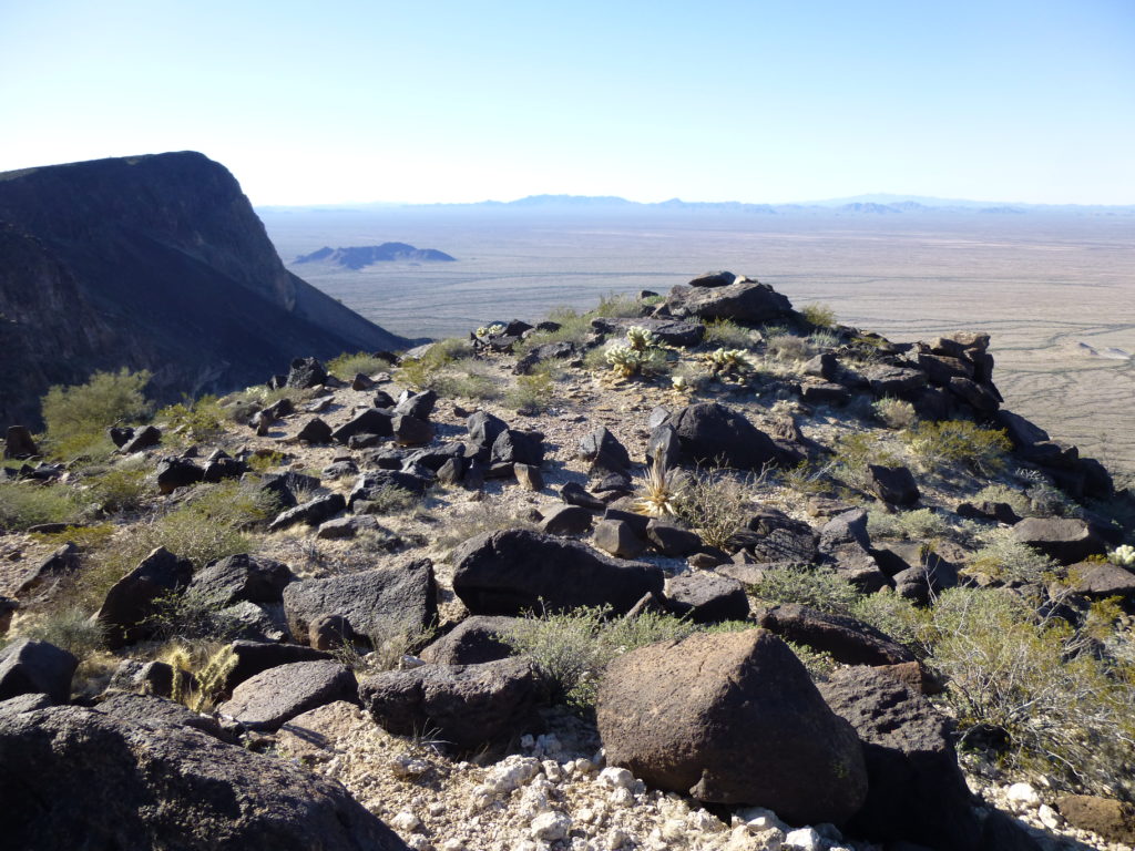
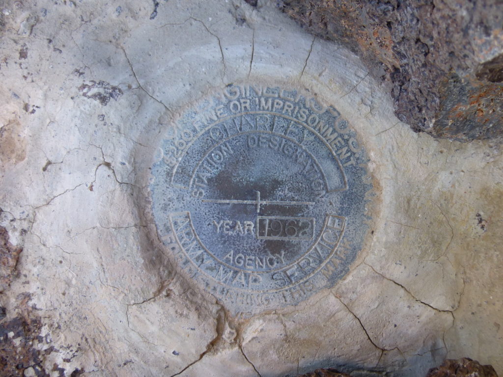
This is another spot that is waaay out there. Not a peak, it is simply a surveyor’s mark left in a rock high on the slope. Nevertheless it’s a curiosity, being one of only a few named features in the entire range. Climbers have run into Bad Guys on Charley as well. In this next photo, it’s the rock outcrop 50 feet away on the edge of the precipice.
Here’s the actual marker.
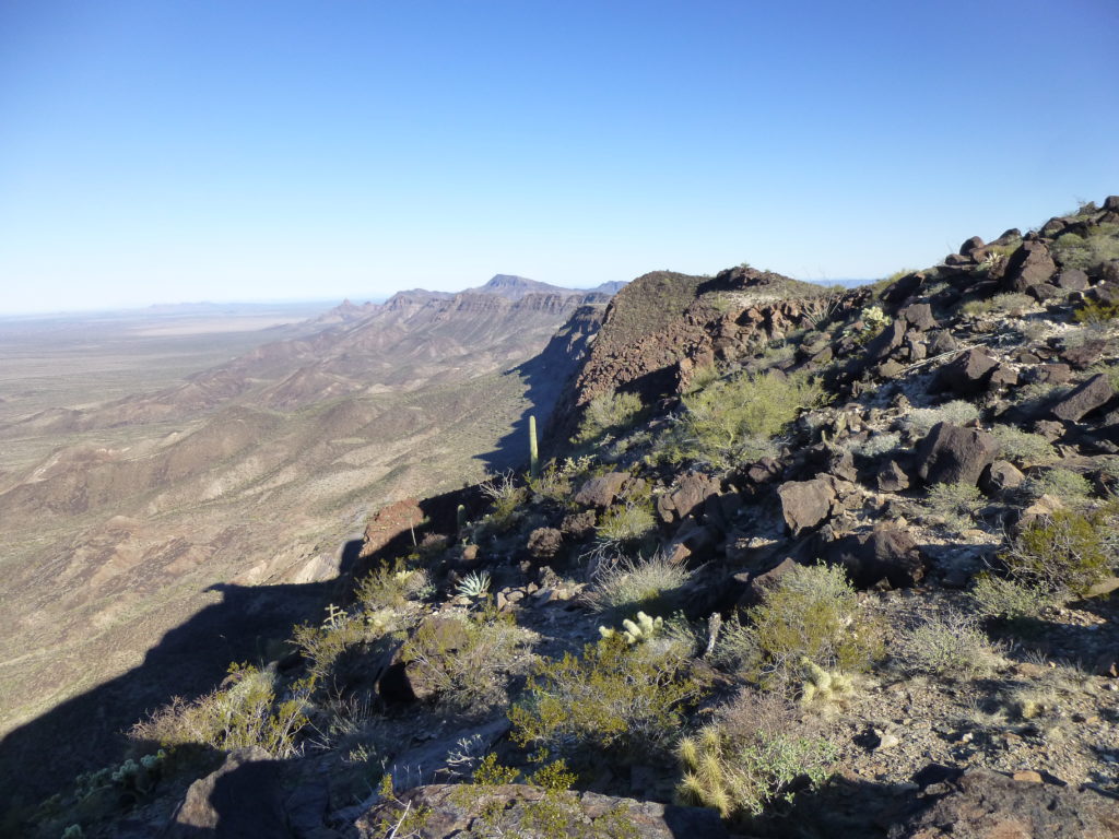
And what a view you get from Charley, second to none.
I’m going to leave my story at this point, but there’s a whole lot more to come. Please look for the next installment, to be entitled The Growler Mountains, Part Two.

