Covid-19 was ravaging the planet. Also known as the Coronavirus, it was making life difficult especially for seniors and for those with compromised immune systems. Being around other people posed the greatest risk, so what was a climber to do? Well, why not go somewhere where there were no people? In Arizona, that’s not hard to do.
The desert is the perfect sterile environment – out there, you can’t catch anything because there’s nothing to catch, and I knew just the place to go. A place with new peaks to climb, a place I hadn’t visited before. I set out on a Thursday, and 150 miles of freeway driving later arrived at Dateland, Arizona. It’s just a gas station and convenience store, but that’s all I needed – I topped off my tank and bought a quart of oil. I wore one of the good N-95 face masks and rubber gloves, then wiped everything down with bleach wipes afterwards, including my credit card. I must admit I felt a little out of place, as nobody else there was taking any precautions, but that’s okay, their problem.
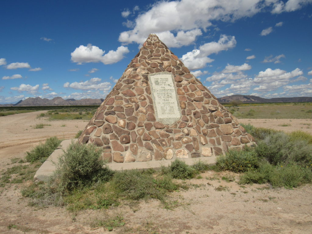
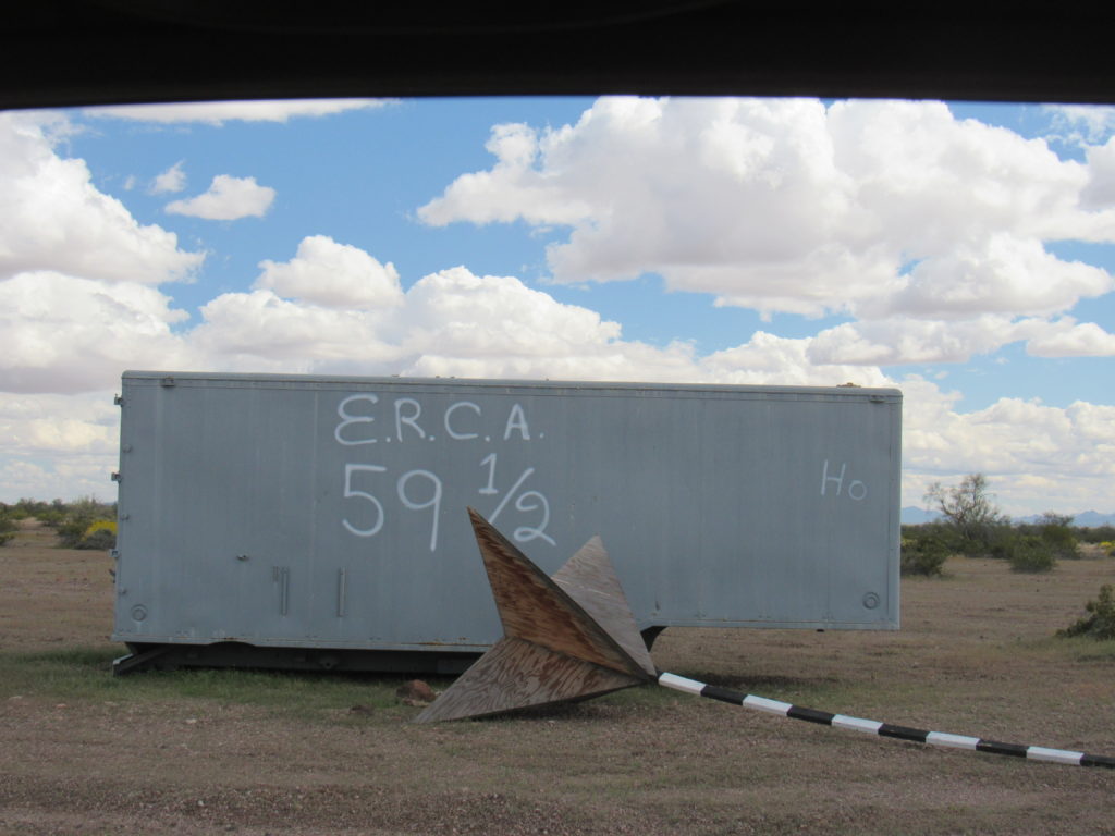
Ten more miles on county roads brought me to the end of pavement, where this World War II monument greeted me. Here is a link to an informative page that talks about the encampment that was once here. In the distance can be seen the Palomas Mountains, my goal for the next several days.
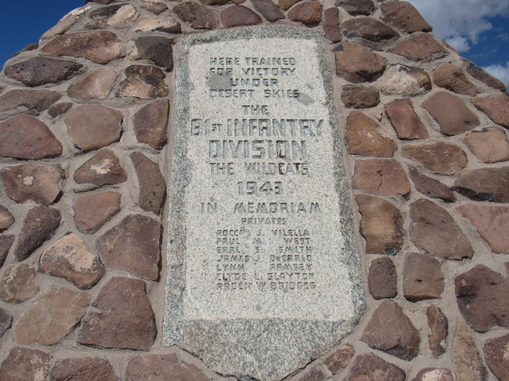
Here is a closer view of the plaque that sits on the monument.
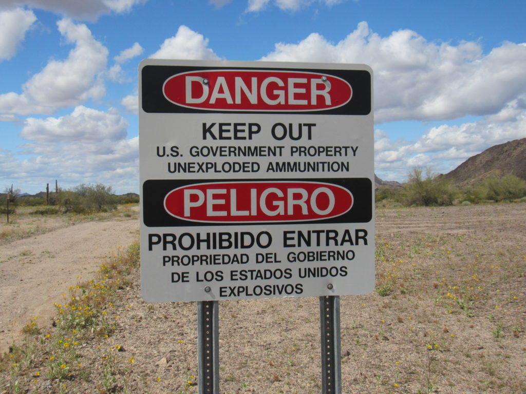
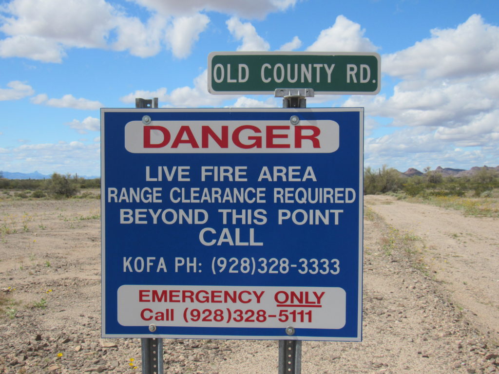
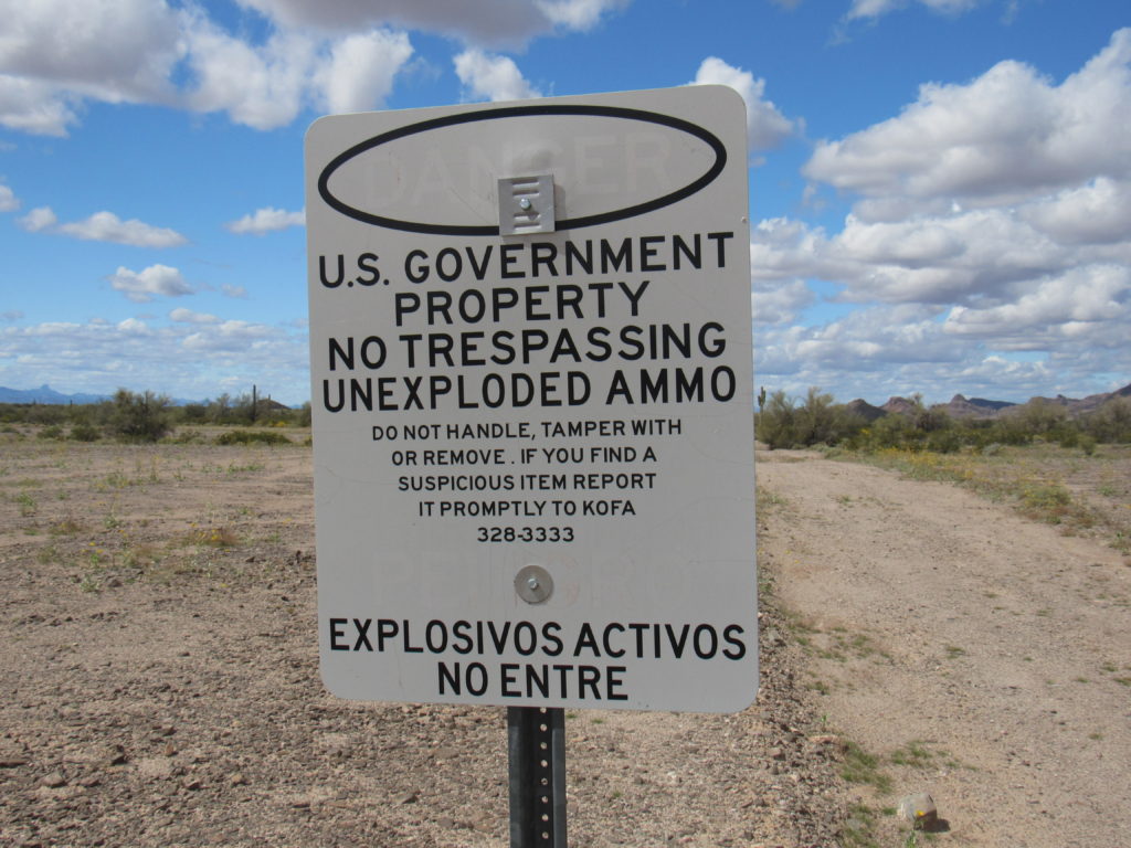
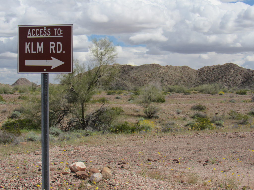
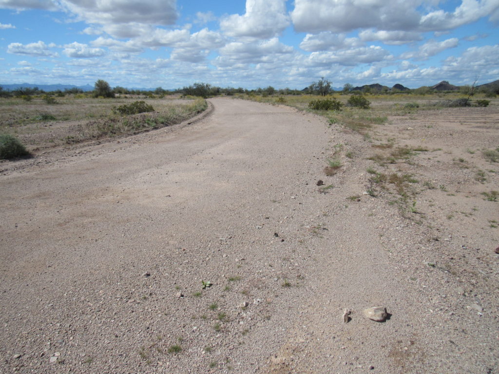
Dirt roads headed north into the desert, and away I went. Once past the area where the old fort once stood, the road became somewhat vague at times, but could still be followed – my GPS kept me on track. Some miles later, I approached some signs along the road. There were 3 of them.
The third sign is my favorite because of the irony it presents. I mean, think about it – it is telling you that you cannot trespass because of unexploded ammunition that is there. It then goes on to say that if you do happen to trespass and if you should find a suspicious item, then please promptly call the phone number on the sign and report yourself and the item you’ve found and the location. Yeah, right! Sure will. In your dreams, Pal.
I carried on, covering more miles. Near Point 781, I saw something white in the distance – it looked like it could be a vehicle. This long telephoto shot proved me correct. I didn’t go over to investigate, but maybe on my way back out I would. More on that later.
Several miles later, my poor dirt road was absorbed by a major, well-graded one, obviously used regularly by the military. Since I was on the Yuma Proving Ground, it had to be the United States Army. More signs greeted me.
Look at how well-kept the road was at this point.
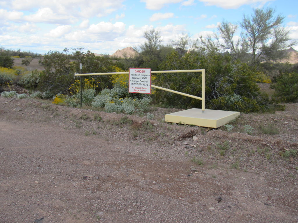
As I continued, I came to this gate. Closed, it would have warned of Army stuff going on ahead.
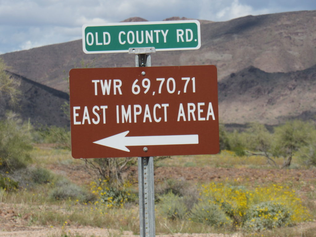
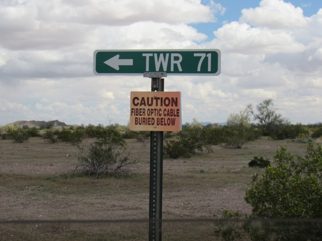
A side road, not shown on any map, headed northeast towards a hidden valley, my goal for the next several days. This sign indicated the way to what I guessed would be Tower 71.
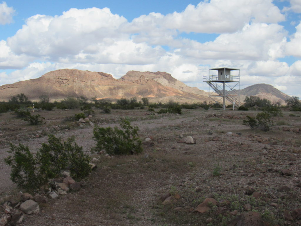
Yep, there it was.
There was more strange Army stuff along the way.
A few short miles later, I had arrived. Where the road ended was the perfect spot to camp, at 820 feet above sea level. I was between, and very close to, 2 peaks – 2 others stood nearby. I had a feeling nobody would find me here, so I unpacked my gear, spread it out and settled in for the duration. Although I had spent 6 hours getting from home to here, it was still early enough to climb a peak, which had been my plan all along. At 3:40, I set out.
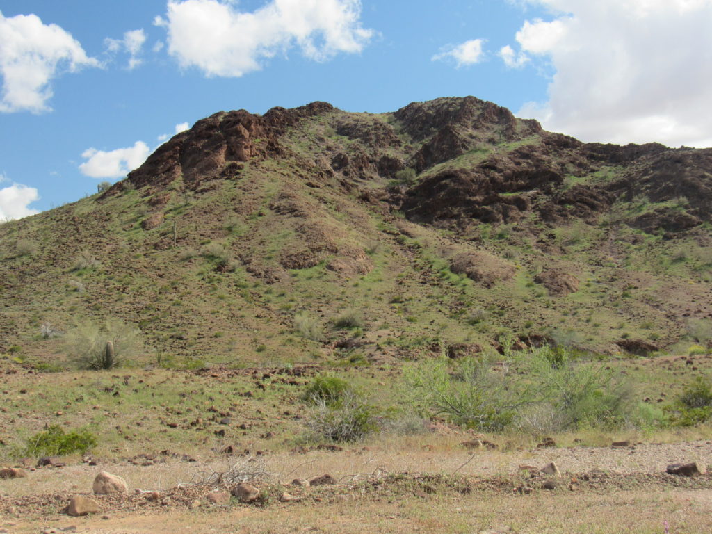
A short distance to the south sat Peak 1207, the lowest of the 4 that I would attempt over the next few days. It also had the advantage of being the closest, so it was the perfect candidate for this late in the day. This was my view from camp.
I thought of going right up the middle, but was concerned that some foreshortening of what I was seeing could get me into trouble. Instead, I circled around to the northeast side and made my way up an easy slope to the north ridge, which in turn led me to the gentle summit. Another climber had made a clean sweep of these peaks a few years earlier, so I expected to find his register. There it was, and I signed in. I chose an easier way down, and by 5:30 I was back at camp in time to cook a dinner with plenty of daylight. This seemed a perfect spot to hunker down and avoid the virus for several days.
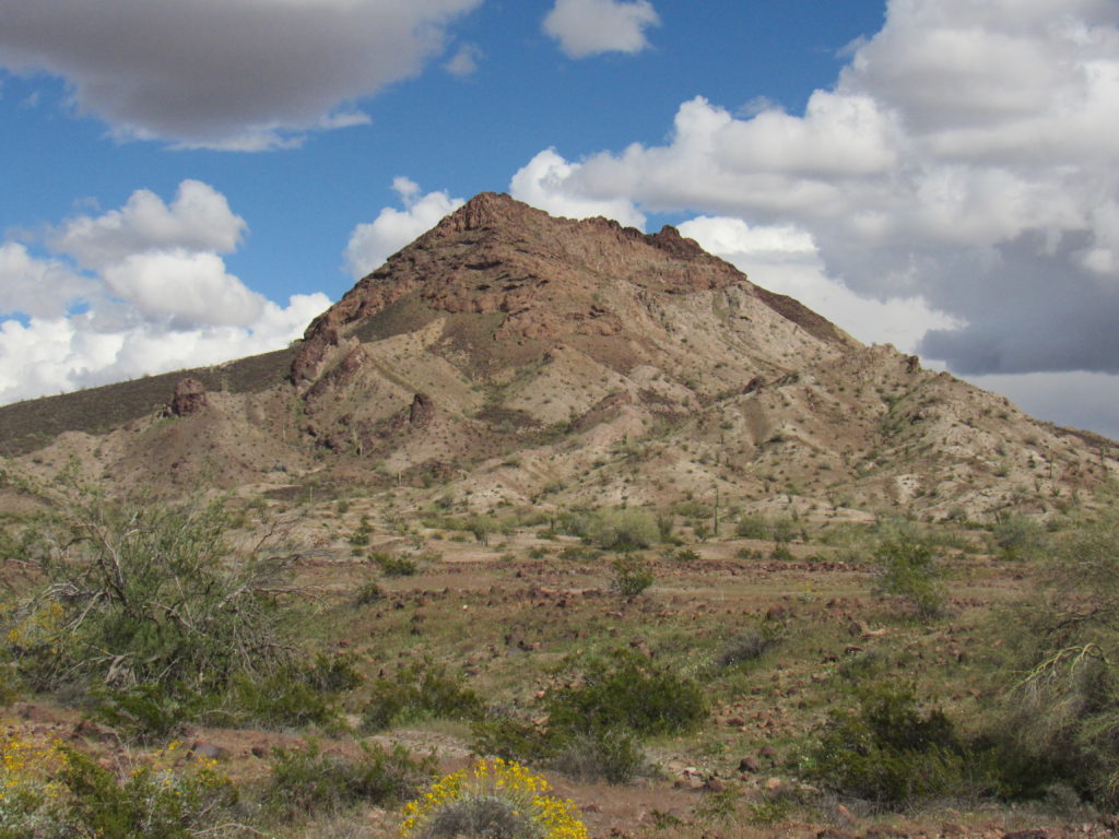
I slept the sleep of the dead. Upon arising, I took my sweet time getting ready and didn’t walk away from camp until ten in the morning. This next peak had me a bit concerned – I had heard stories of its being well-guarded and potentially a problem. Here’s what I could see from camp.
In the above photo, the highest point of the mountain was the tiny dark bump over at the far right end of the summit ridge (it appears lower than the rest of the ridge). It was a pleasant walk of half a mile through open country to get over to the base of the southwest side of the peak. There weren’t any obstacles to then gaining 500+ vertical feet up open ground, but then things steepened considerably. I wasn’t able to continue straight up the way I was going, as cliffs barred the way.
I had been carrying a hiking pole with me up to that point. Only recently had I started using one, as I had slowed down so much. My reasoning was that I could use all the help I could get, but when I reached the cliffs I set the pole down, thinking that I’d retrieve it on the way back down. Of course, that assumes that I’d be returning the same way, something that can’t be counted on in the mountains. I left it out in plain sight, then continued up. Soon, I found my way blocked and had to down-climb over a hundred feet into a more open basin. It’s hard to remember, or even see, small details from the base of a mountain, details that only become visible when you get higher up and are in the thick of things. That was the case now as I stood in the basin – I couldn’t tell which of the pinnacles on the ridge above me was the true summit.
I took my best guess as to which was the highest point and chose a path up to it. As I rounded a corner, I found myself staring at another set of cliffs which were insurmountable. Rats!! Back down I went into the basin where I considered my options once again. It wasn’t just a matter of heading straight towards what looked like the highest point – it had to be over terrain that I could actually negotiate. I chose what looked like a reasonable route within my abilities and headed up for another try. Some steep ground gained me more elevation without too much drama, and then I was there! A quick look around proved that there wasn’t some higher pinnacle lurking nearby, and I breathed a sigh of relief. It had taken me a full 4 hours to climb a mere 700 vertical feet. The summit ridge was a narrow piece of real estate, maybe ten feet wide at best.
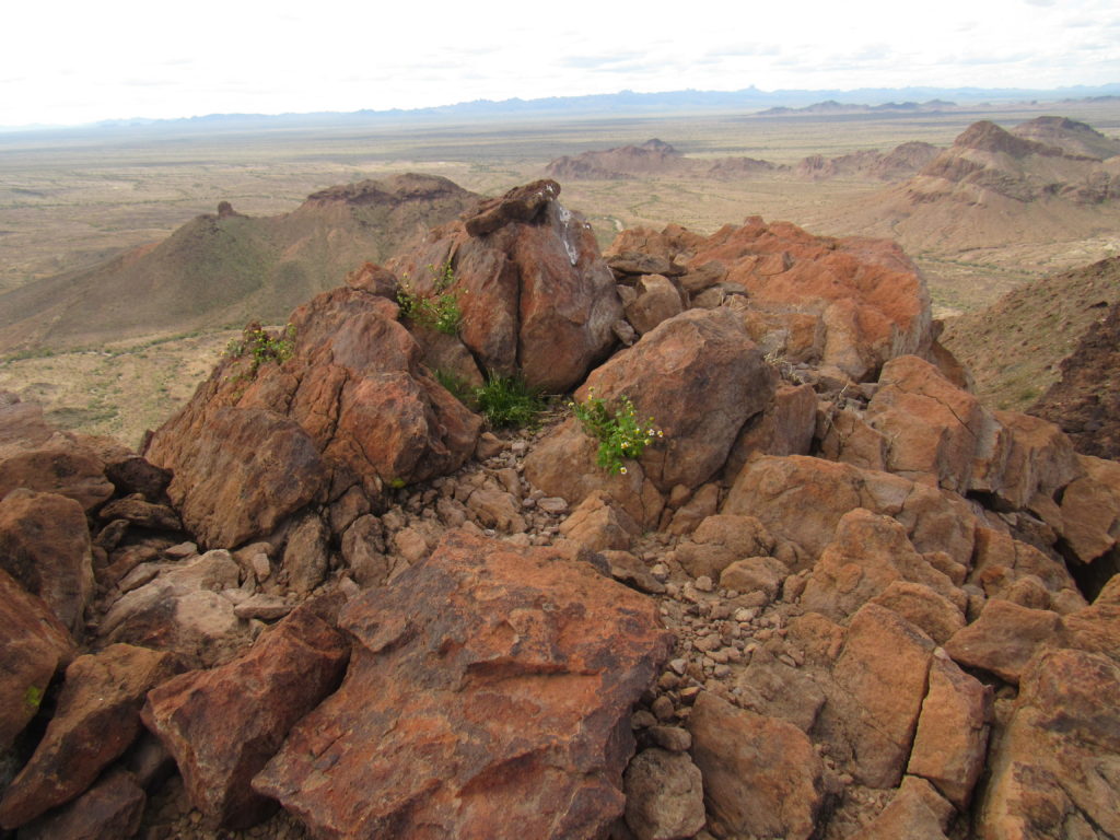
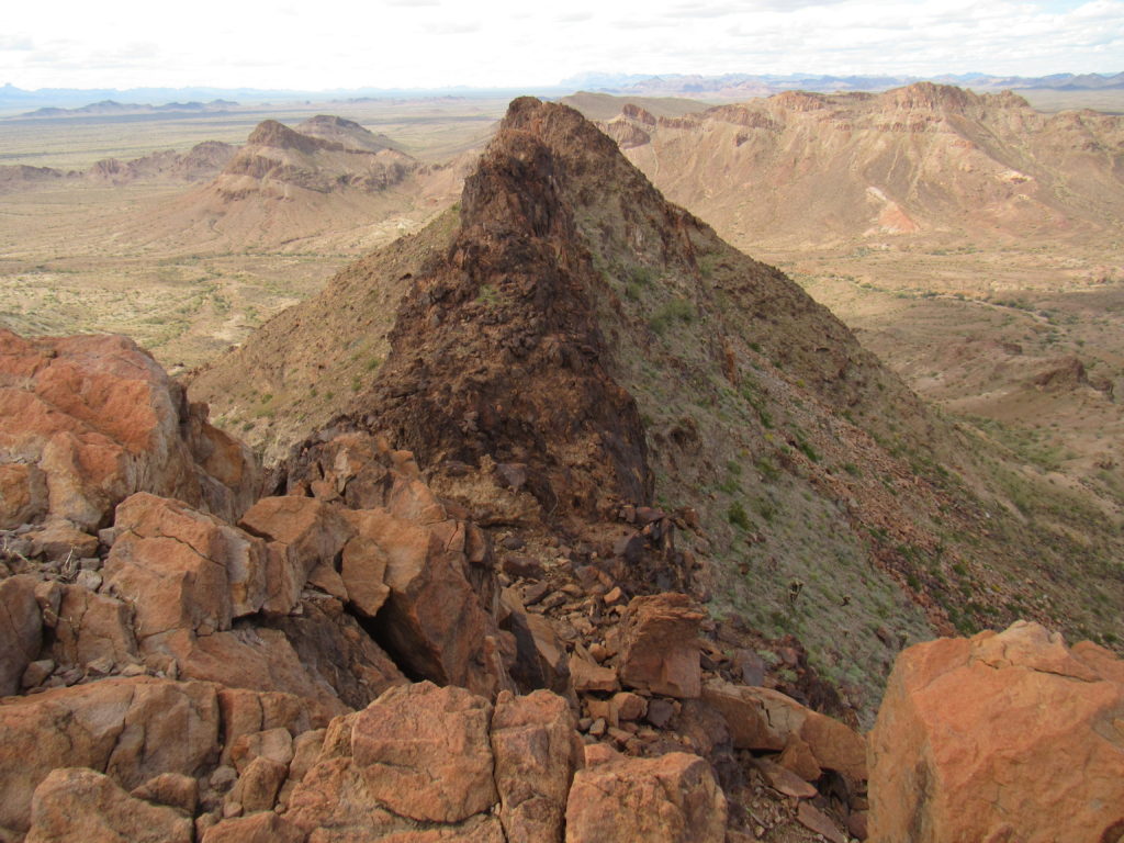
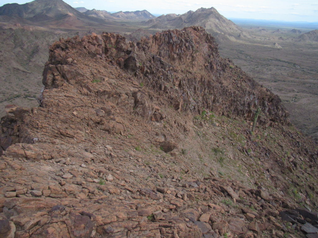
Peak 1505 was an interesting spot, to put it mildly. It was well-guarded by steep cliffs, offering little sign of weakness to access its summit. Here’s a peek along its summit ridge to the northwest.
I signed into the register and relaxed a bit, but just a bit – after only 20 minutes, I felt it was time to start back down. I liked the look of the basin I’d used to gain the last stretch to the summit, so I thought it could be a good way to descend to the desert floor. Here is how the upper part of the basin looked from the summit. My route slopes steeply down and to the right and out of sight.
I headed down cautiously, encountering nothing worse than Class 2 as I went. That hiking pole – fuggedaboutit – there was too much work involved to retrieve it, and besides, I had another waiting back at camp.
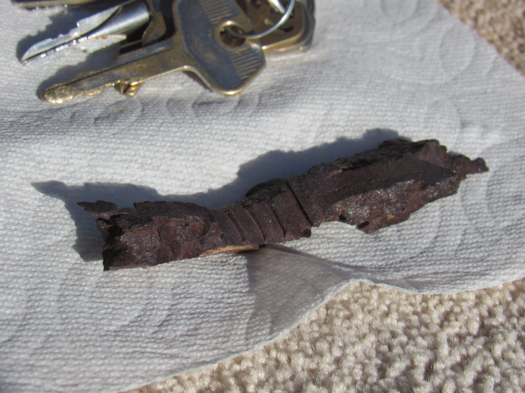
On the way down the steep slope, which took an hour, I found several chunks of heavy, rusted metal laying on the ground. Because of where they were, they could only have been from military activity. I’m guessing from World War II, probably fragments from bombs dropped from planes. These were on the surface of the ground, widely scattered, surprisingly dense and quite thick.
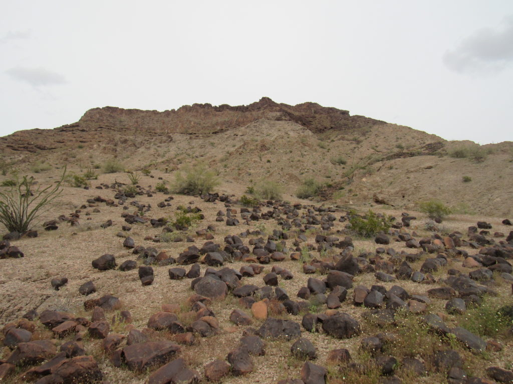
When I reached the valley bottom, I sat down in the sandy wash to take a breather and, just for the heck of it, decided I’d try a phone call home. I was amazed to get a signal out right away – must’ve had a line of sight to the cell tower back in Dateland. By now, I had a good view back up to the upper part of the mountain.
In the above photo, you can see a lot of dark, smooth, volcanic rocks littering the landscape in the valley bottom – there were about a hundred trillion of them. Uphill from them was a wide band of lighter-colored rock, about 500 vertical feet of it. Finally, above that sat a 200-foot cap of dark rock comprising the summit ridge. The highest bit is that bump right in the middle. My descent route came down through the dark area below it and to the right. So if any of you ever go to try Peak 1505, go up that way for a straightforward Class 2 route.
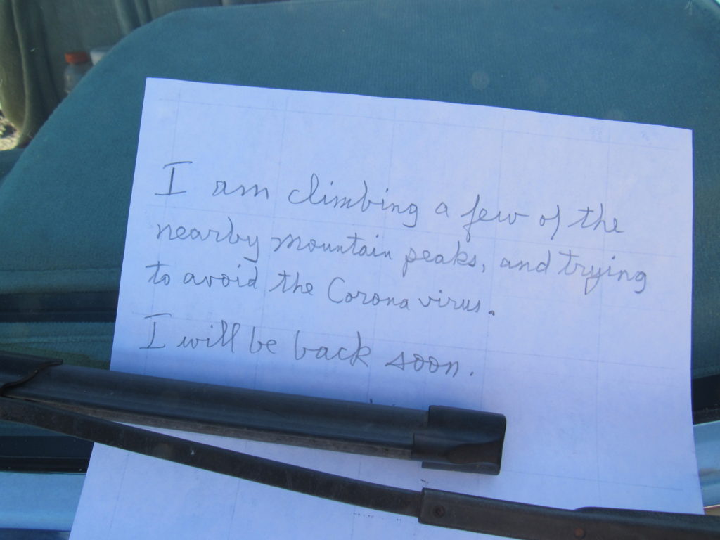
It was just after four o’clock when I arrived back at the truck, looking just as I had left it. Here’s the sign I had put on my windshield for any passers-by to see – there had been none, of course.
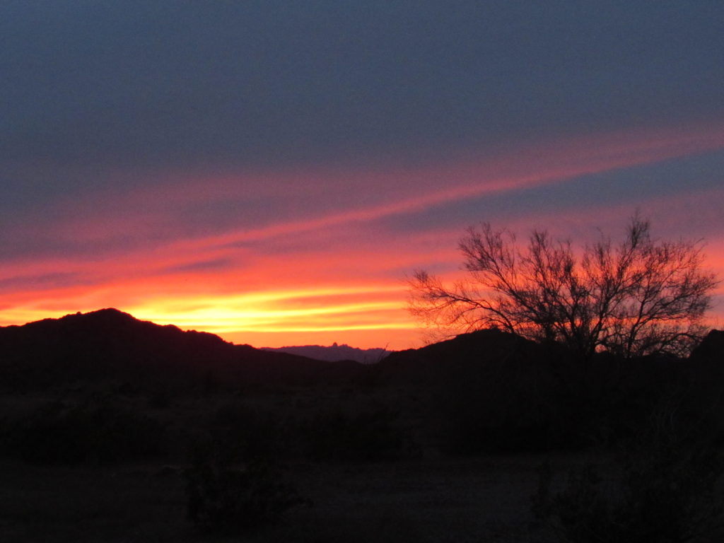
My second day here in the Palomas Mountains ended with a supper of ramen noodles and an amazing desert sunset. So far, so good.

