
Just north of town sits as pretty a group of mountains as you’d ever expect to see in these parts. When I say town, I don’t mean Tucson, but rather Marana and Oro Valley, two satellite cities that lie to the northwest of Tucson itself. Marana sits to the south of the range, and Oro Valley does too, but farther to the east. The range is plainly visible from much of Marana, as shown in this photo.
Looking north to the Tortolita Mountains, just over 5 miles away in this telephoto.
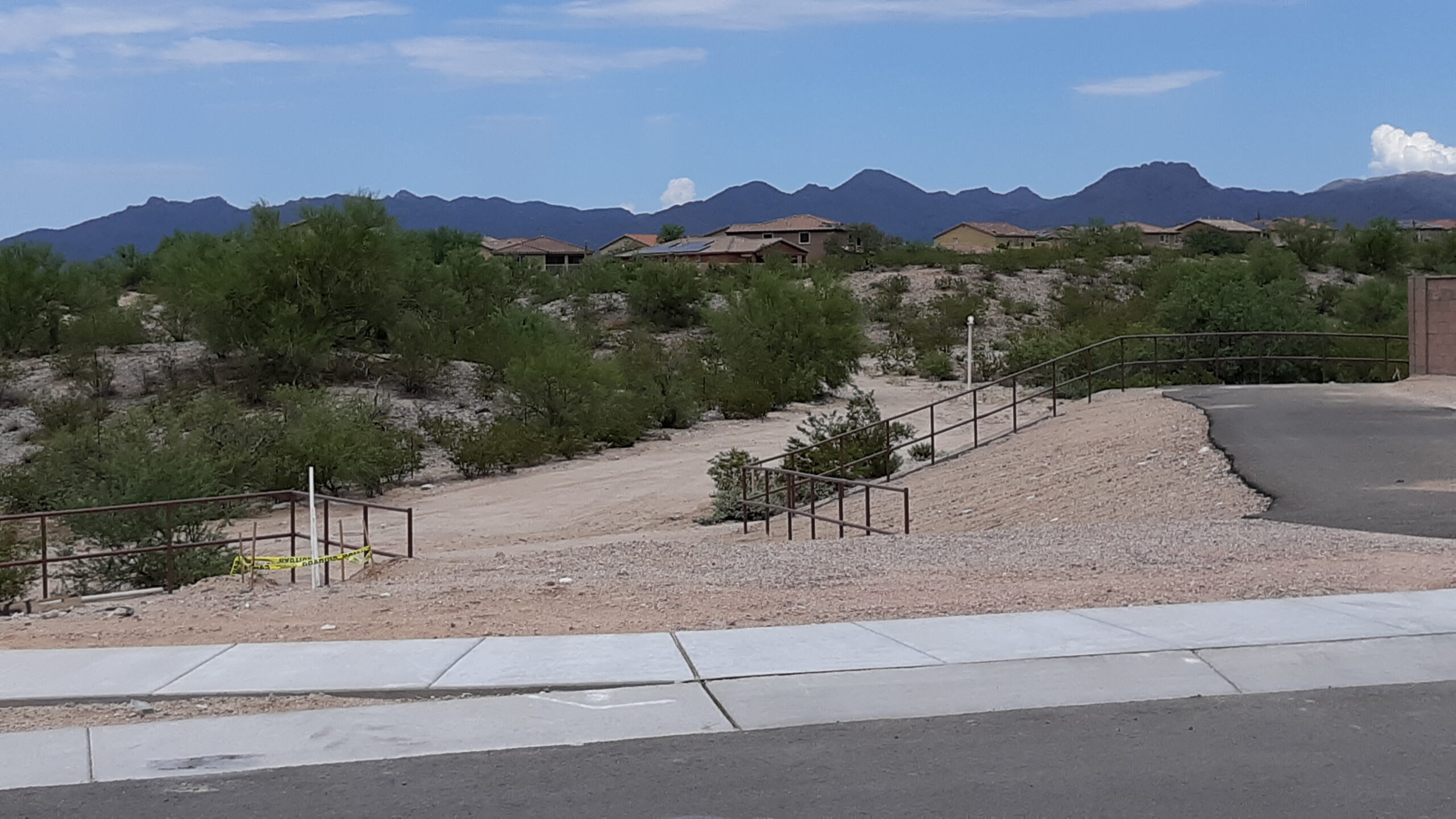
For all it contains, the Tortolita Mountains is a range that is surprisingly compact, spanning about 10 miles from north to south, and about 8 1/2 miles from west to east. As recently as 50 years ago, there were only scattered ranches around the edges of the range, but real-estate developers have changed all of that. Both Marana and Oro Valley have created subdivisions that come right up to the edges of the range and, in several places, have sent feelers miles up into canyons which now boast high-priced homes surrounded by amazing mountain scenery.
There are a number of named drainages in and around the range. Starting in the north and moving clockwise, we find: Derrio Canyon, Guild Wash, Carpas Wash, Faraway Wash, Chirreon Wash, Sahuarita Wash, Batamote Wash, Indian Well Wash, Indian Town Wash, Crow Wash, Sausaulito Creek, Honey Bee Canyon, Cañada Agua, Ruelas Canyon, Wild Burro Canyon, Cochie Canyon, Cottonwood Canyon, Dry Canyon and Fresnal Canyon.
The Tortolitas are kind of a sleeper range – you don’t really notice them or pay much attention to them unless you happen to live in one of the ritzy subdivisions sitting on their southern edge. Otherwise, they’re way out there by themselves just minding their own business. At this point, I’d like to make a comparison.
Along the west side of Tucson sit the aptly-named Tucson Mountains. They are nearby and really obvious, towering above the city and running a distance of almost 24 air miles. They can be seen by just about any of the million or so residents of the city, and seem pretty lofty when you look at them, rising as they do from 1,500 to 2,000 feet above the city, creating quite a wall across the west side of the metro area.
I became curious about one aspect of the range, wondering how many of its peaks rose to more than 4,000 feet in elevation. I studied the topographic maps and discovered that, if I included spot elevations, there were a total of 11 places where the range exceeded 4,000 feet. Five of those places were named peaks, the highest being Wasson Peak at 4,687 feet, the range high point.
Then I performed the same exercise with the Tortolita Mountains. Well, I was quite surprised to see that there were a total of 34 places where the range exceeded 4,000 feet in elevation. So on the whole, the Tortolitas are a much loftier range, yet there they sit, quietly in the background, un-noticed by almost everyone. I like it. Only one of them is a named peak (Jeffords Peak, at 4,696 feet the range high point), while 3 others are named benchmarks.
In 1987, I had just moved to Tucson and my records show that one of the first peaks I climbed was the Tortolita’s highest point, Peak 4696. It didn’t have a name back then, but has since acquired the title Jeffords Peak – records show that the name was dropped on the peak in 2011. It was named for Thomas Jeffords (1832-1914), U.S. Army scout, Indian agent, and stagecoach driver in the Arizona Territory. The logical way to approach Jeffords if you want to climb it is via a road to the east. The road approaches an old mine with a cranky owner, so you park outside his property and walk west as best you can. At least 25 climbers have gone in over the years, but in the 34 years since I was there, that’s less than one a year, so not too popular. Back in ’87, I was chasing range high points and had little interest in going back to the Tortolitas.
Back I did go, though, in the spring of 1989. What possessed me to go after an obscure nothing of a peak in the extreme southwest corner of the range, I don’t know. Maybe it was ease of access. In any case, in late April I parked and did a quick climb of Tortollita Benchmark.
Another year and a half passed. The Tortolitas must have been whispering sweet nuthins in my ear, because by late November, I had conjured up a plan to head back in and pick off several peaks, but this time as a backpack. I was never overly-fond of carrying the extra weight, but it sure did allow you to bag some of the more remote things. Late in the afternoon of Monday, the 25th, I talked a friend into helping me make a start. We drove north on Highway 77 to Oracle Junction, then 4 miles more on US 89 to an electrical substation. There, we left the blacktop and headed west into the desert along a dirt power-line access road for another 4 miles. By the time she dropped me off, we were losing the light. I did a bivouac in Guild Wash near the power-line – no tent, just a light sleeping bag and a few necessities. The weather was perfect, and I anticipated a good trip. The next morning, I set out at first light, which there isn’t a lot of in late November. The first order of business was the climb of Tortilla Benchmark.
I was using one of the old 15-minute topo maps – a bit outdated, but serviceable. Some of the elevations would change a little once the 7 1/2 minute maps would come out later. From the summit of Tortilla, my next objective was to the southeast. I had to drop down and cross Guild Wash, then climb up to the top of Falcon Benchmark, a bit higher at 4,340 feet. There’s something curious about this peak. The map shows that it sits at the very end of a feature called Falcon Divide – a divide, maybe, but it is gentle and vague. Maps show it heading northeast from the benchmark for at least 10 miles, ending near Wild Cow Ravine. Hmmm, curious.
Studying the map, it looked like the best way to get to my 3rd peak of the day was to stay high on ridges, so that’s what I did. After heading south for a while, I crossed over Point 4045, and then some distance later, over Point 4292. Perhaps one disadvantage of following ridges is that you cross over many extra bumps along the way – they may not gain you anything but forward progress, but the extra climbing involved can really add up. Some time later, I dropped down to and crossed an old road at around 4,050 feet. From there, it was a 400-foot climb up the easy slope to the summit of what I knew as Peak 4430 – at least, that was what its interpolated elevation was back in 1991. Since then, newer maps have refined that elevation a little, so let’s call it Peak 4415. Staying along ridge-tops, I continued in a southwesterly direction and, lo and behold, there I was once again atop the range high-point, Peak 4696. It had been a climb of 800 feet, with a couple of intervening bumps thrown in for good measure. In the 4 years since my last visit, 3 friends had signed in to the register, which I then did for a second time.
The day was wearing on, and I had to keep moving. Heading west now, I stayed atop ridges until I had to drop down into Bass Canyon a little to the south of Bass Spring. Then up another ridge to arrive at the summit of Peak 4380. This one was so far out there that none of the 6 known ascenders has ever posted a photo of it. The same applied to Peak 4415 which I had visited earlier. I was starting to flag, but I figured there was enough oomph left in me to do one more, so I dropped down the west ridge, crossing over several intervening bumps, and arrived at Cochie Spring in the uppermost reaches of Cochie Canyon. At one time, there had been a few structures there but all trace of them had disappeared by the time of my visit. It was a short climb via its east ridge to the top of Peak 4260, where I laid out my sleeping bag in the failing light. What a day it had been! – 6 peaks, 5 of them new for me, and what felt like too many miles. I could see the lights of Tucson through gaps in the peaks to the south as I drifted off to a well-earned sleep, but thoughts of a challenging day on the morrow crept into my awareness from time to time and stirred my rest.
At first light, I was on the move. I retraced my steps down to Cochie Spring, then followed an old road south until I had dropped down to 3,500 feet. There, I knew the real fun would begin as I left the road and headed more-or-less east, cross-country. In a side branch of Cochie Canyon, a twisting route led uphill for some time until I arrived at the county line near 3,800 feet, where I left Pinal County on the north and entered Pima County to the south. Heading southeast, I crossed 4 bumps along a ridge and dropped down to a fairly flat area of Wild Burro Canyon around 3,600 feet.
Another valley beckoned, taking me southeast up and on to a ridge where I soon gained Point 4288. Hmmm, I could tell as I looked ahead that my route along this ridge would involve some steep going. Several bumps later while heading southwest brought me to Point 4138 – not a summit, but a decent slog in its own right. Ahead, I could plainly see my next goal, Peak 4373. To get there, I dropped down to a saddle at 3,970 feet, then up a final slope to stand on the summit. This peak seems like a popular spot, because at least 11 other climbers have visited since my 1991 ascent.
The end was in sight, sort of. I dropped down, again to the southwest, staying atop the ridge, passing by Point 3998, then up and over 2 more bumps – and down more ridge that deposited me at a 3,890-foot saddle. I then climbed up to the summit of Peak 4053 which was my final peak of the trip. At least 7 climbers have visited this peak since I was there in 1991.
I wanted to end up as close to a road as possible while still up on the mountain ridge, so I decided to follow a tortuous path over 6 more bumps to arrive at Point 3490. Almost done. A drop down to the southeast to a saddle, then up to a flattish bump at 3,400 feet, then southwest over to an easy bump at 3,390 feet. I could see the finish, and it was all over but the shouting. My last slope took me down to the mouth of Ruelas Canyon. A great deal of development has taken place in the 33+ years since I did this trip. I don’t recall with much clarity what I found in the way of a road at the base of that last slope, but I think there was some sort of a road there, or nearby. Nowadays, a major thoroughfare called North Dove Mountain Blvd. sits there. In any case, I must have made my way to a phone and called my friend who came and picked me up. It had been a great trip through the Tortolitas: 2 nights camping out, 8 peaks climbed (7 of them new for me), 26 miles on foot and just over 7,500 vertical feet climbed.
I must have put the range out of my mind, because I didn’t go back in until a full 17 years had passed. In 2008, at the urging of climber friend Andy Martin, we went in and climbed Peak 4175 one warm October day, surprising a rattlesnake near the summit. Andy recently pointed out to me that of all of the ranked summits in the range, this one has gone the longest since an ascent was done (we were there 16 years ago). He correctly states that since all of the hoity-toity homes that have been built nearby since our visit, access is a real problem. That same day, I also climbed Peak 3575, which Andy had done a few months earlier.
Four days later, I went in and climbed a peak known as Tortollitas Benchmark, elevation 4,651 feet. It is the easternmost peak in the entire range, and sits at the head of Sausaulito Creek. This one draws a few climbers, possibly due to its height and ease of access.
The Tortolitas bug must have been biting me, because a mere 3 days later I found myself at a spot called Owl Head Buttes with my friend Paul. These peaks sit a bit apart from the rest of the range, but not by much. Guild Wash and just under a mile of open ground separate the Buttes from the northwest edge of the range. That’s pretty darn close, enough so that I wanted to climb them anyway. In for a penny, in for a pound, right? Owl Head Buttes, South was a quick scramble. One look at the north peak, though, and I realized that I wasn’t going to try it by myself. I’d have to rely on help. Climber friend Andy Bates volunteered, but we couldn’t head in until July 25th of 2009, the following year because of his busy schedule.
Andy had soloed it earlier, so his ascent with me was his second. It was one hot day, I’ve gotta tell you. We were there at dawn, and had no sooner set up for a roped climb when we realized that we’d be starting right by a hive of wild bees who lived in the rock. Prudently, we moved to a better, nearby spot and set out. The climb was only rated 5.0, so Andy scrambled up and I quickly followed. It was all over pretty quickly, and Owl Head Buttes, North was done. For me, anyway – 12 years later, Andy led a climb with our friend Andy Martin for his third ascent of the peak.
There was another pretty high ranked peak that I hadn’t done, so on November 16th of 2011 I headed in to climb Peak 4416 from Cochie Canyon to the west. It went without incident. Was I done, with the Tortolitas, I mean? Maybe not quite.
During all of my climbing life, I have made a habit of climbing unranked peaks, ones that are close enough to that 300-foot prominence requirement that they could qualify, if only we had a bit more accurate information. Well, our modern world with its ever-changing technology has given us a new tool, and it’s called LIDAR. The link will take you to more information that you even want to know, but it explains it all. Basically, it uses a form of laser to measure things, and has proven to be a highly accurate way of showing exact elevations of peaks. It can eliminate doubts about the heights of some peaks, and it is showing us that some of those unranked peaks actually have the needed 300 feet to qualify as a “real” peak.
I will usually check a range for unranked peaks, and the wonderful website Lists of John shows us these quite clearly. That’s how I discovered the 2 that were hidden in the Tortolitas. On the east side of the range, an old road can be found heading up Crow Wash, but it is gated where you enter the uppermost part of Wild Burro Canyon. On October 7th of 2017, I headed in from the gate on foot. It was a lovely walk cross-country to the summit. I soon left and headed south down Wild Burro Canyon. At 3,840 feet, I found an old concrete dam by a spring, and also a solar-powered windmill pumping water into a tank for cattle and wildlife, Luckily for me, an excellent trail started there, which I followed all the way to my next goal, Peak 4550.
I finished those 2 peaks for the day, and then I felt I could truly say I had finished everything in the entire range. Hey, it had only taken me 30 years!