
Please be sure to read the previous Chapters 1-5 of this story in order to get the most out of this next one, Chapter 6.
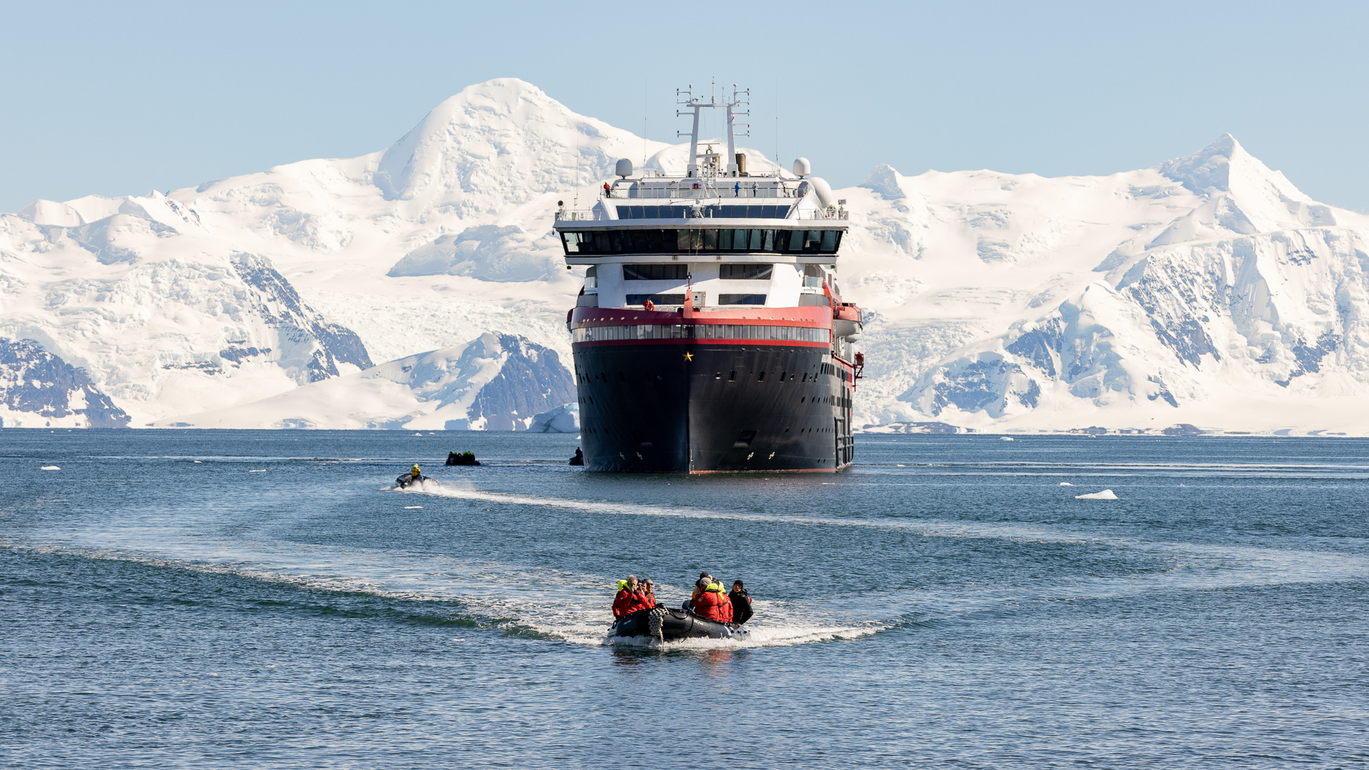
Where we left off last night, we had successfully made it all the way through the 11 miles of The Gullet and were continuing north. It was just after one o’clock in the morning when I last checked our position, and I retired knowing that we had accomplished something special. So imagine my shock when I woke up on a bright sunny morning and looked at the TV channel which always showed our exact position. We weren’t anywhere near where we were supposed to be. We were all the way back down to the south end of Adelaide Island, where we had been last evening around eight o’clock, back in Marguerite Bay! Why the change of plans?
The likely thing that had happened was that after we had cleared The Gullet and continued north, we had arrived at a place that was blocked by ice. It could have been icebergs, or the water may have been covered by so much thick brash ice that there was no way through. Or, the sea may have been completely frozen over, but that doesn’t seem so likely, given all of the satellite technology that the ship possessed – the captain would have known in advance if solid sea ice blocked our path. If you go back to Chapter Two of this story, you’ll see that on the evening of January 11th we had reached such a place – the sea was completely frozen over.
After our cruise was over, I was able to use information that we were given about the actual path our ship had followed during the trip. I determined that we had turned around in the night at a point 29 miles shy of where we had met the frozen sea on the 11th. I also learned that that area is notorious for ice conditions that block travel by ships such as ours.
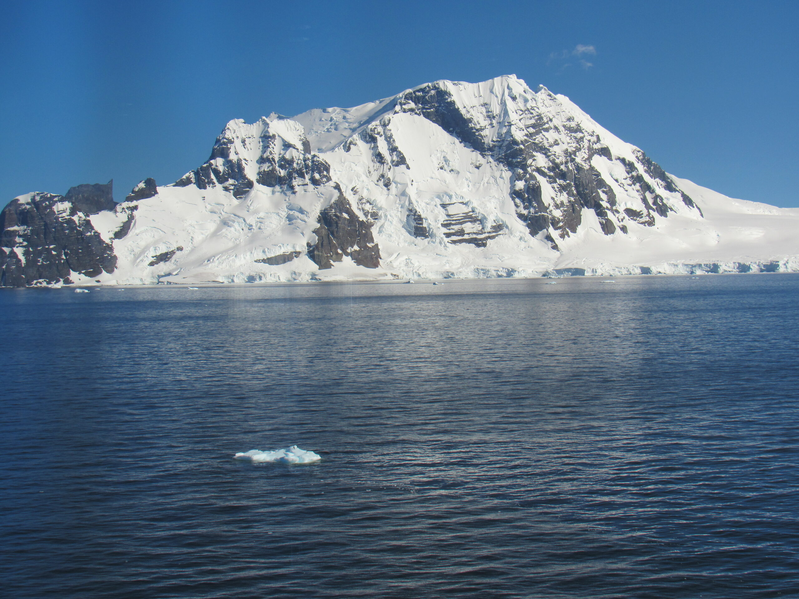
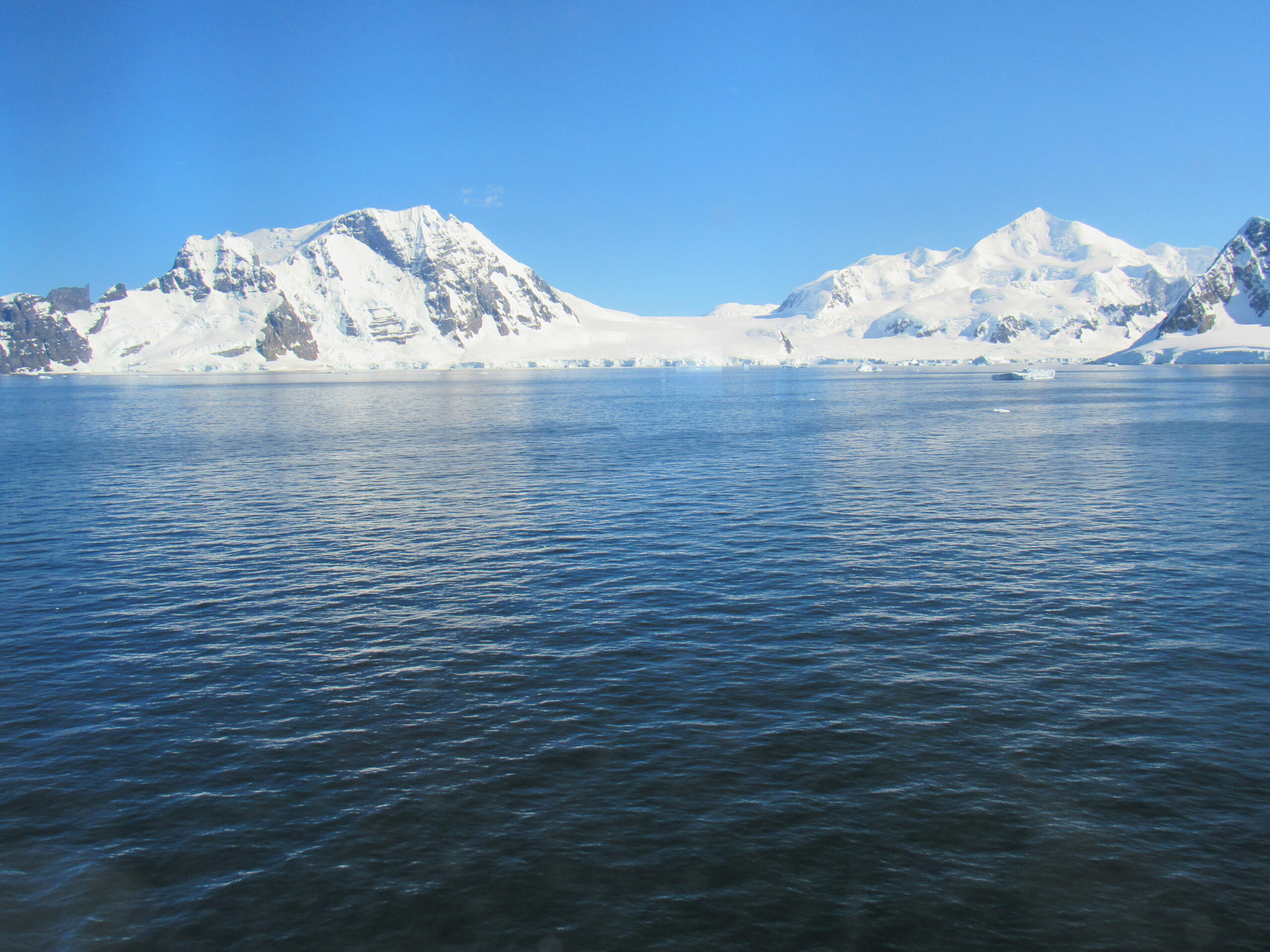
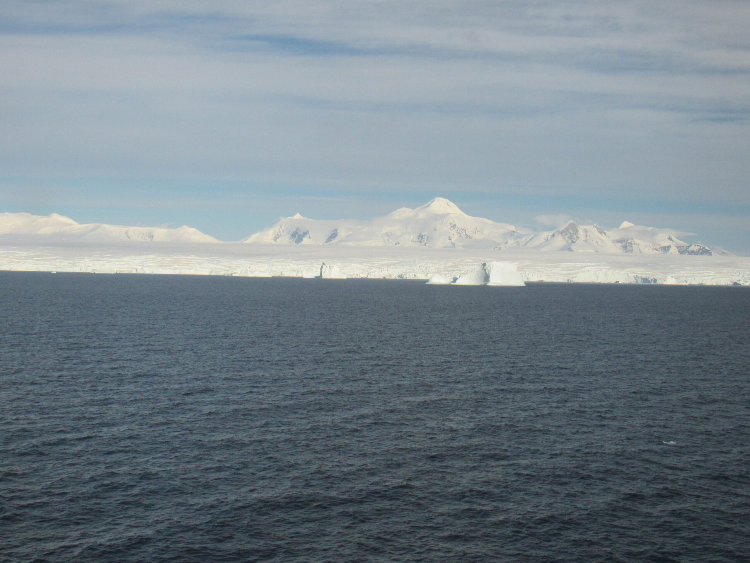
In any case, on the morning of January 15th, the 8th day of our trip, there we were in Marguerite Bay once again. I wasn’t complaining, though, as there are few places I’d rather be. The day was perfect, with not a cloud in the sky. The captain made an announcement that we were going to visit a place called Bongrain Point which was on Pourquoi Pas Island.
Pourquoi Pas Island is a mountainous island, 27 km (17 mi) long and from 8 to 18 km (5 to 11 mi) wide, lying in the north-east corner of Marguerite Bay on the Fallières Coast between Bigourdan Fjord and Bourgeois Fjord off the west coast of Graham Land. It was discovered by the French Antarctic Expedition under Jean-Baptiste Charcot (1908–10). The island was charted more accurately by the British Graham Land Expedition under John Rymill, 1934–37, who named it for Charcot’s expedition ship, the Pourquoi-Pas? Charcot discovered and named Marguerite Bay south of Adelaide Island after his wife and Jenny Island after Bongrain’s wife. Landings were made and a small party climbed to 1,500 feet where the coast could be seen extending into the distance This was named Fallières Land (now the Fallières coast) after the French President at the time.
The results of the second French Antarctic Expedition were impressive – 1,250 miles of coastline and newly discovered territory had been surveyed. The maps made from the expedition were still in use twenty-five years later. The scientific data filled 28 volumes, including some of the 3,000 photographs taken during the expedition.
Bongrain Point forms the south side of the entrance to Dalgliesh Bay on the west side of Pourquoi Pas Island. It was resurveyed in 1948 by the Falkland Islands Dependencies Survey, who named the point for Maurice Bongrain, surveyor and First Officer of the Pourquoi Pas? He was responsible for the first surveys of the area.
Some important climbing has occurred on the island. The highlight of a French climbing team’s 2010 Antarctic season was undoubtedly the string of big climbs done by the French team of Mathieu Cortial, Lionel Daudet, and Patrick Wagnon, traveling aboard Isabelle Autissier’s Ada II.
The team’s last success was the probable first ascent of Mt. Statham (3,839′), at the southern end of Perplex Ridge on Pourquoi-pas Island. This involved hard climbing up the west-northwest face. Perplex Ridge, which runs northeast to southwest in the northwestern section of Pourquoi-pas Island, has two named high points: Mt. Statham and Matthews Peak (3,609′). The latter is named after BAS geologist David Matthews, who in 1965 made the first ascent of Mt. Verne, one of the most notable peaks on the island. Some maps show this peak at 5,355 feet, but it may be lower. Approaching Statham Peak on February 18, the French climbed a couloir to reach a chute of extremely steep and overhanging ice high on the face, probably the steepest ice ever climbed in Antarctica. Part way up, Wagnon backed off, so the team traversed right to easier ground and reached the summit after 12 hours of climbing. They named the route Bohemios y Locos, originally referring to their summit as Peak Ada 2, not realizing they were on Mt. Statham. By the way, the highest point on the island is Mount Arronax, which at 5,200′ elevation puts into that special category of ultra-prominence peaks. It was named after Professor Pierre Arronax, the central character in Jules Verne’s Twenty Thousand Leagues Under the Sea. A number of features on the island are named for characters in the book.
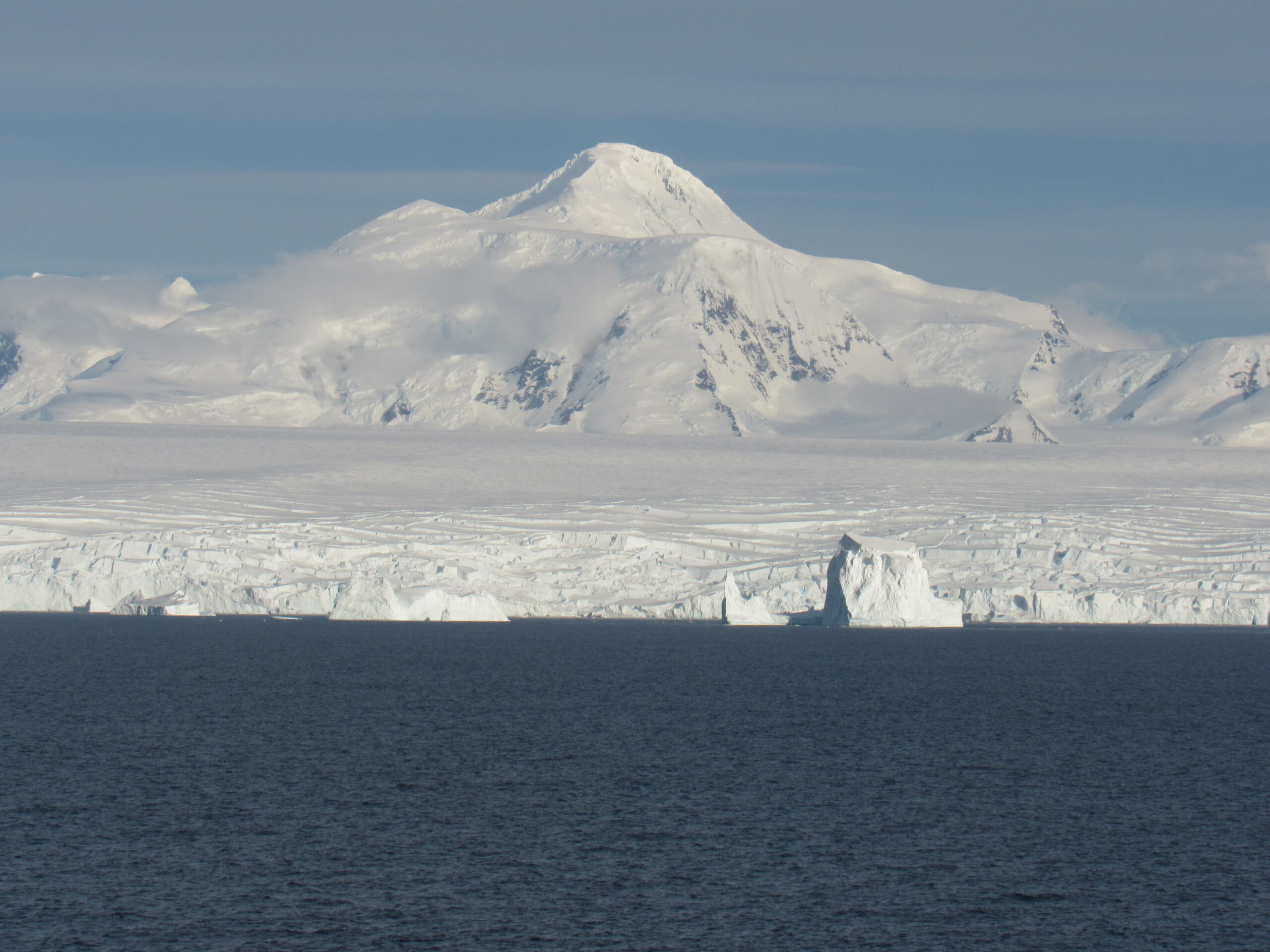
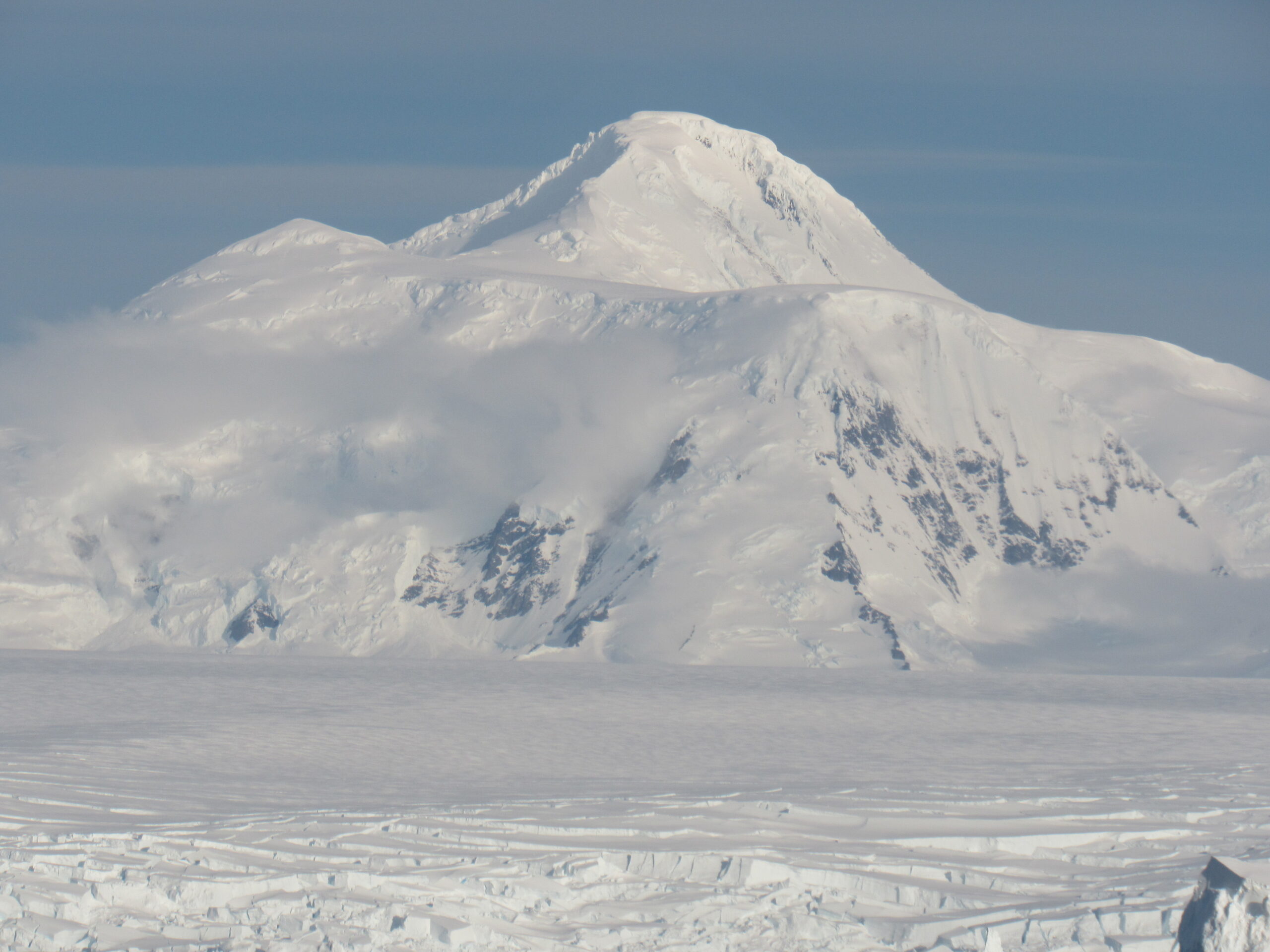
There was already another ship there when we arrived, so we had to wait until they left before we could think of going ashore. We spent hours cruising around in Marguerite Bay, which was no hardship, as everywhere you looked the scenery was simply over the top.
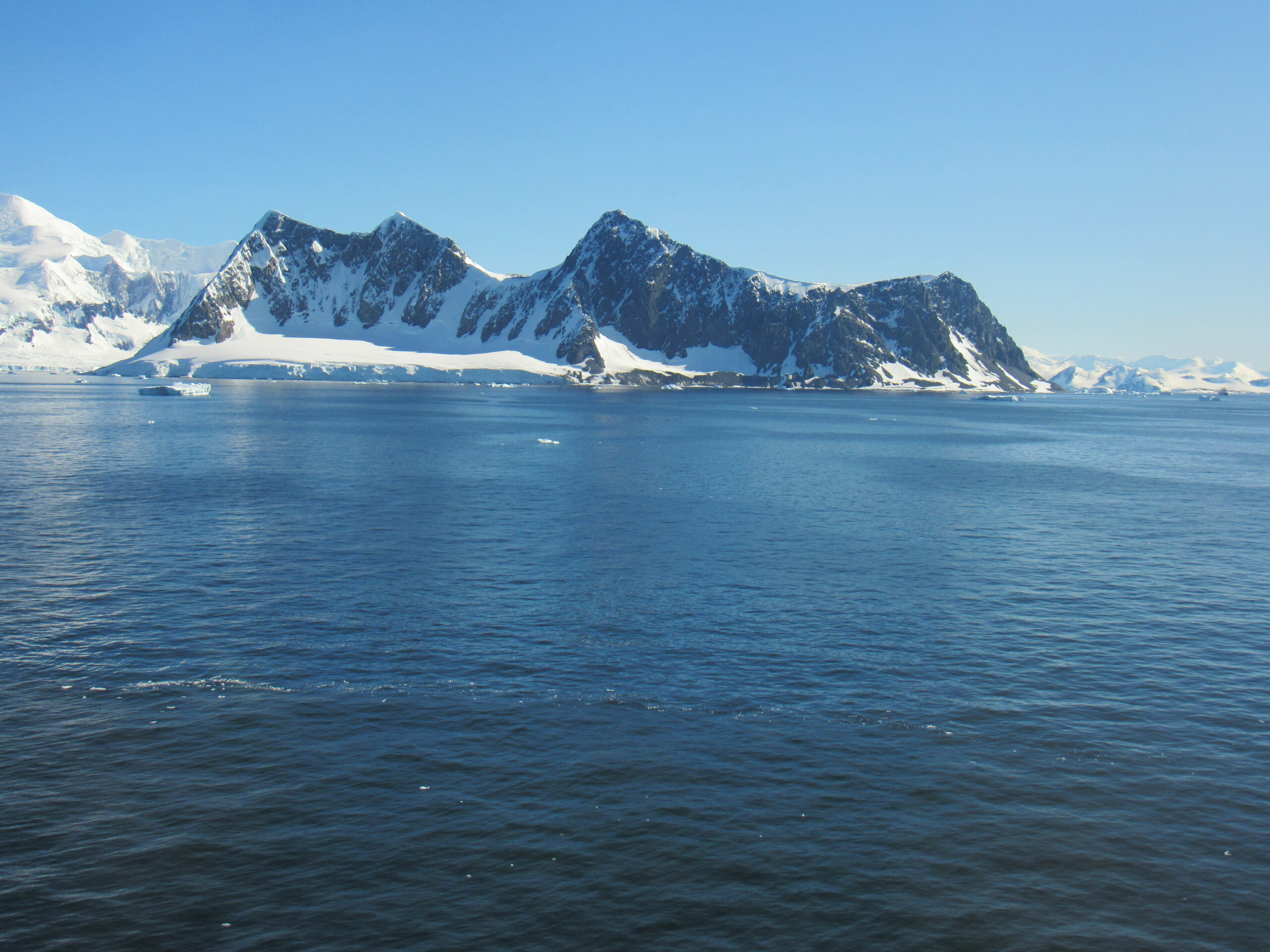
I never tired of looking at the mountains.
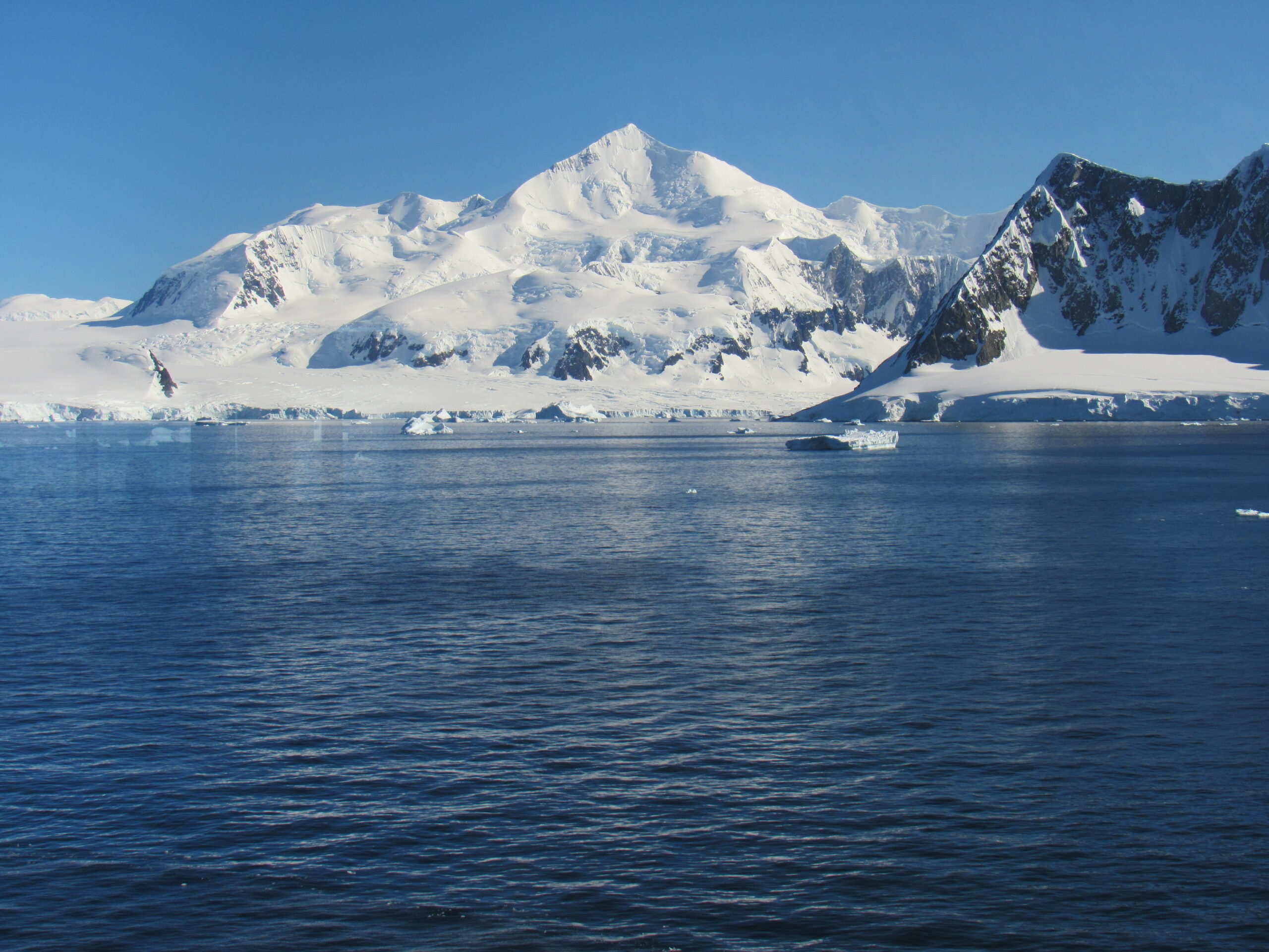
The snow on these peaks was permanent. This was the height of summer, after all.
Beauty in every direction.
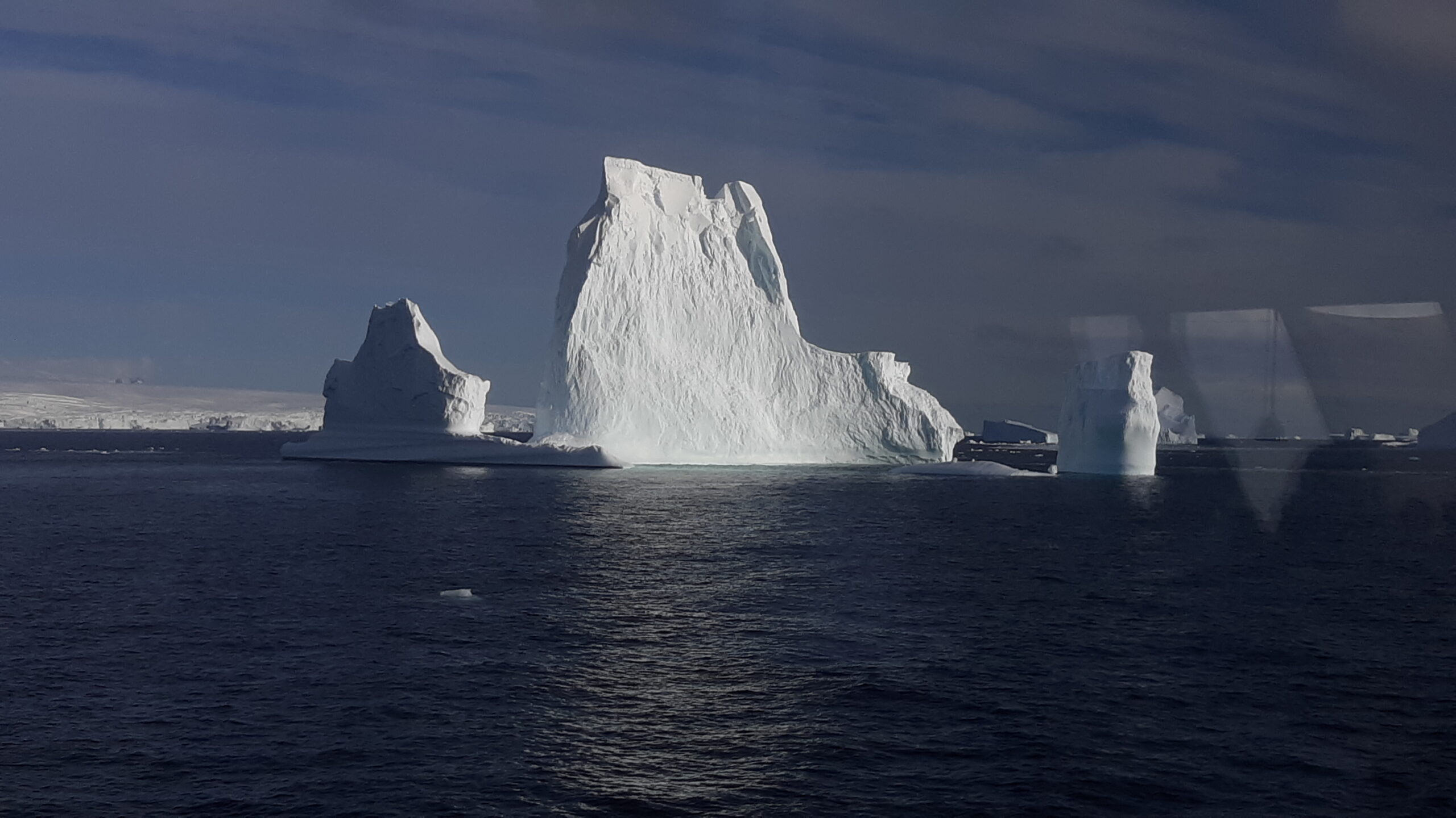
Ice everywhere.
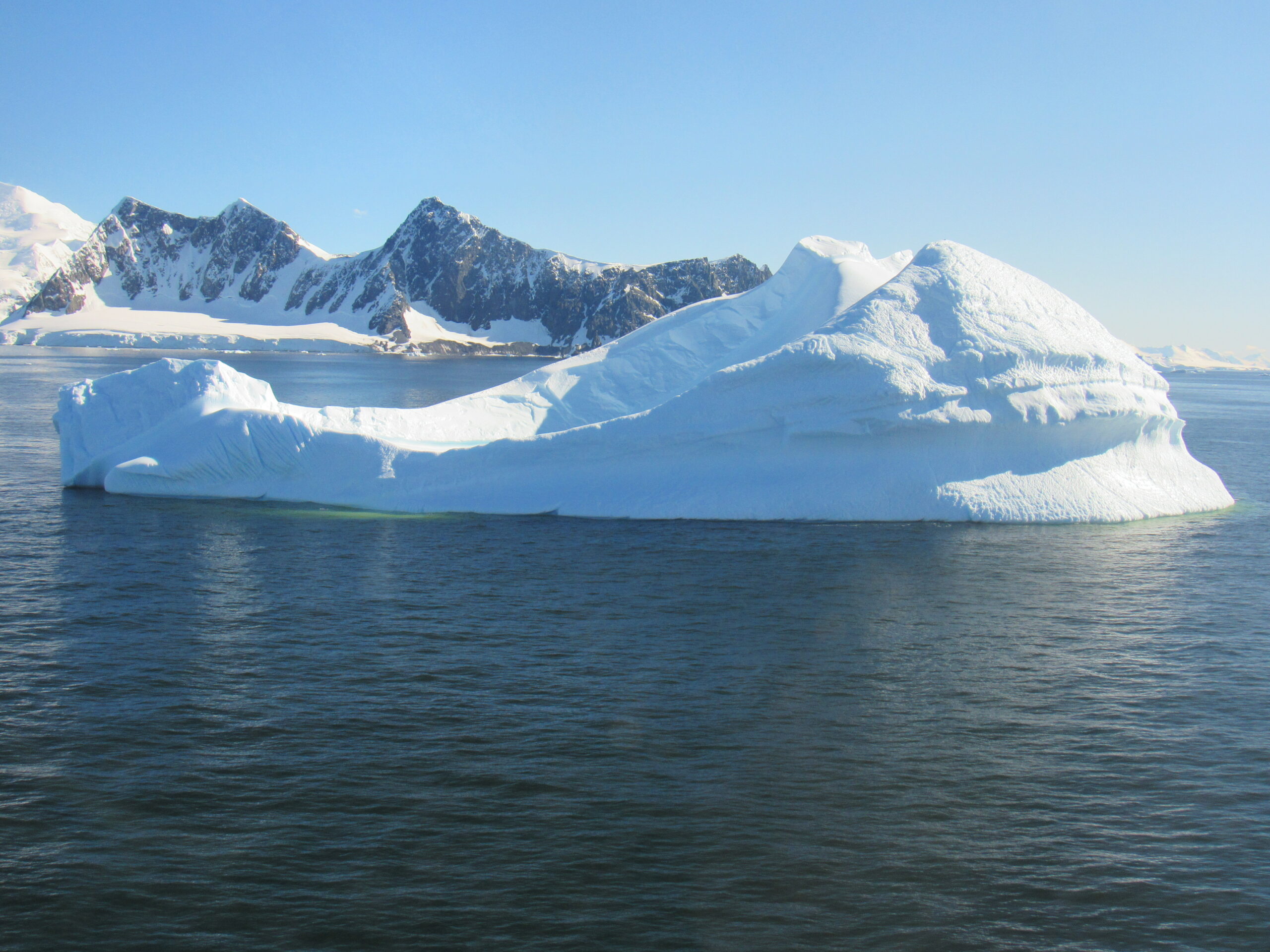
One of today’s icebergs
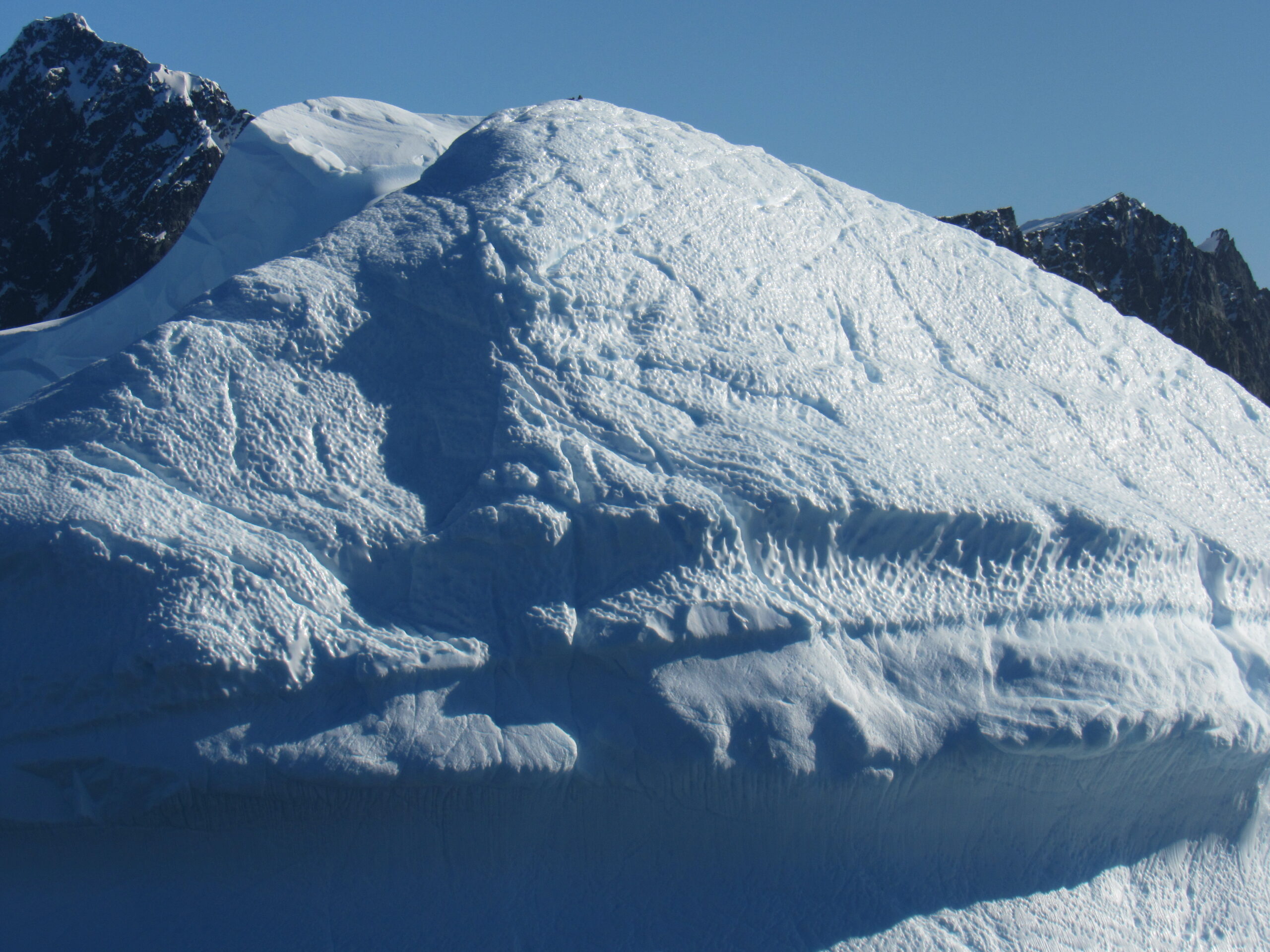
A closer view.
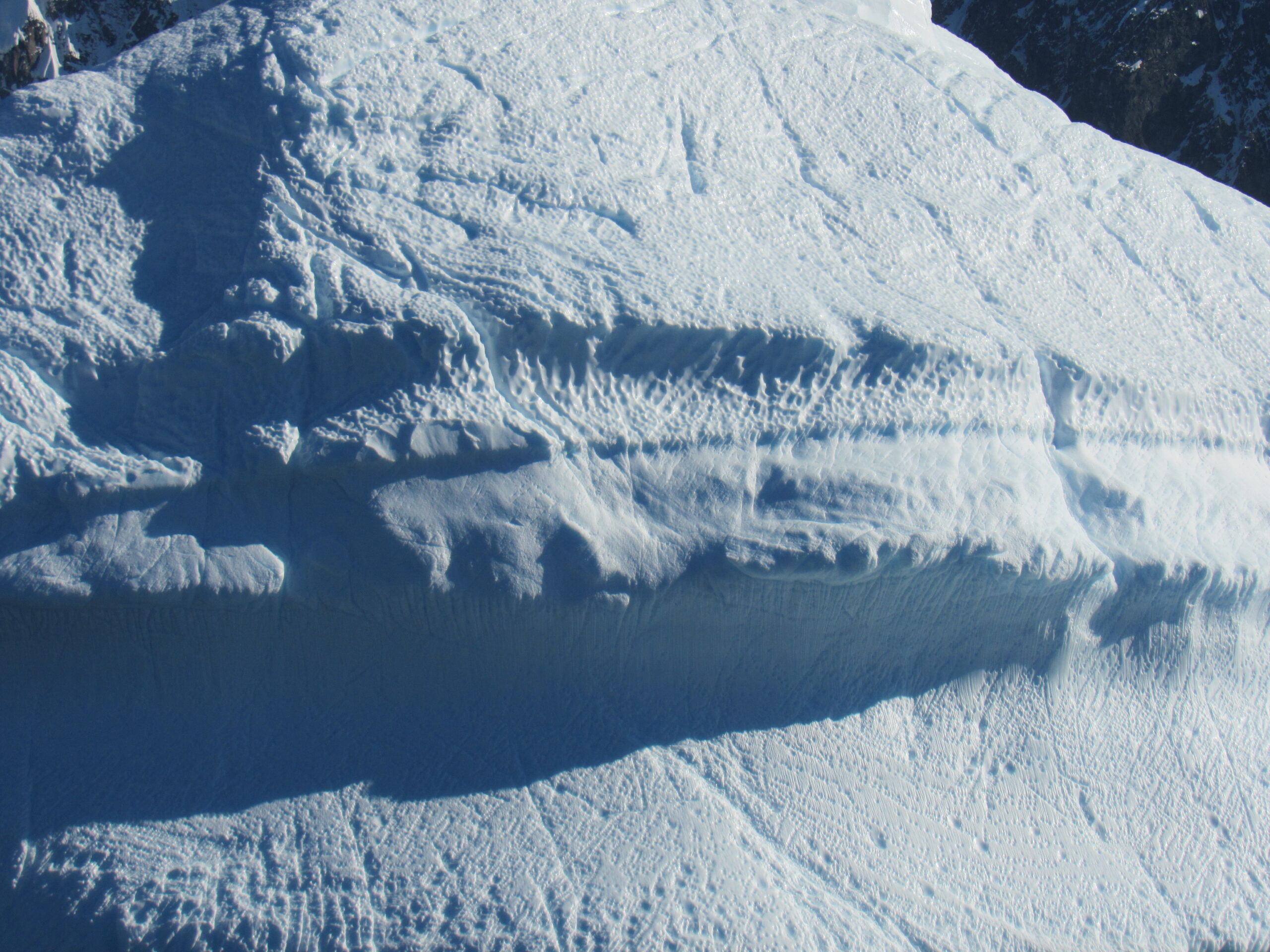
The line shows where the berg sat at water level.
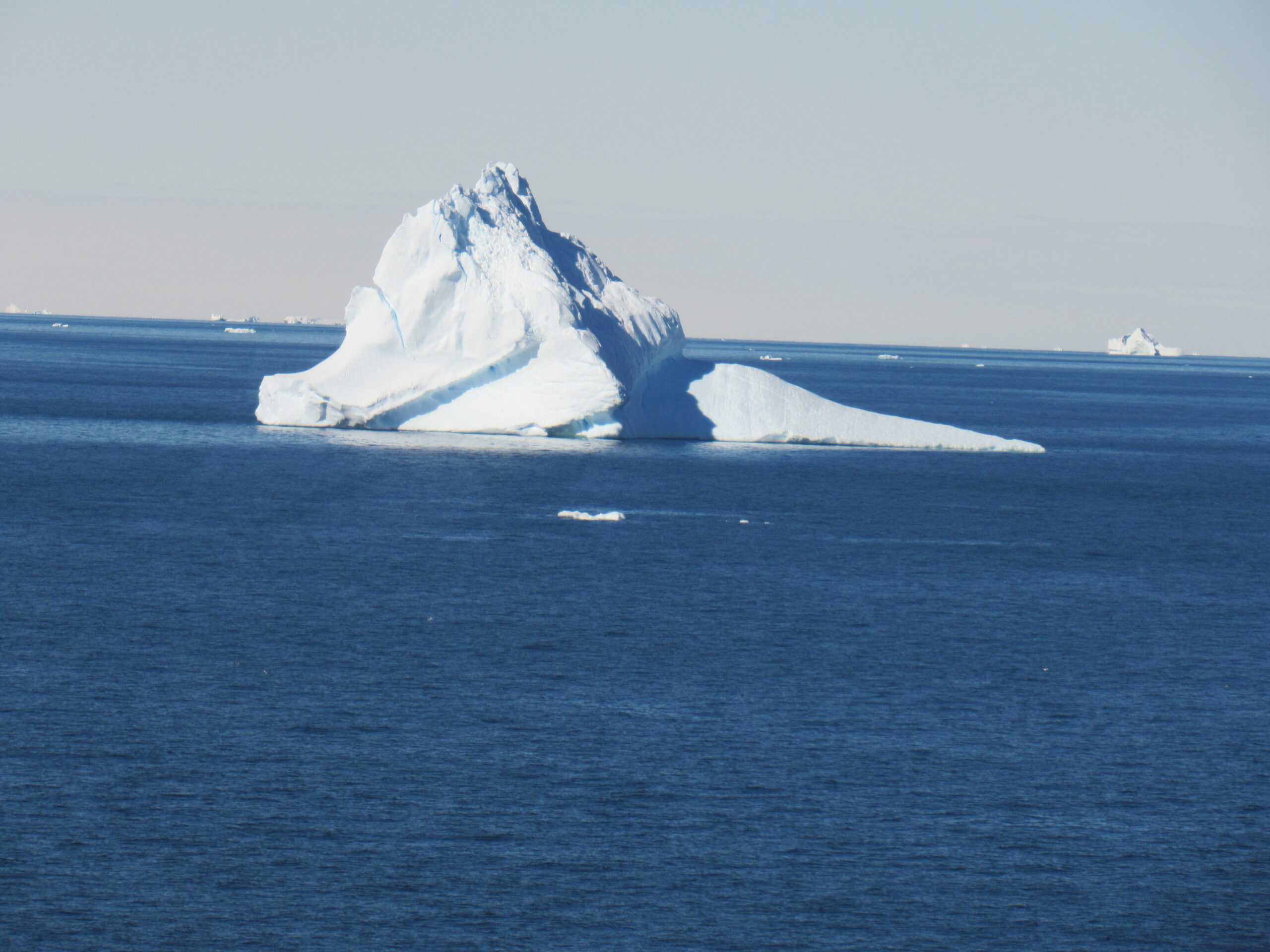
Every one of the thousands of icebergs was different from all of the others.
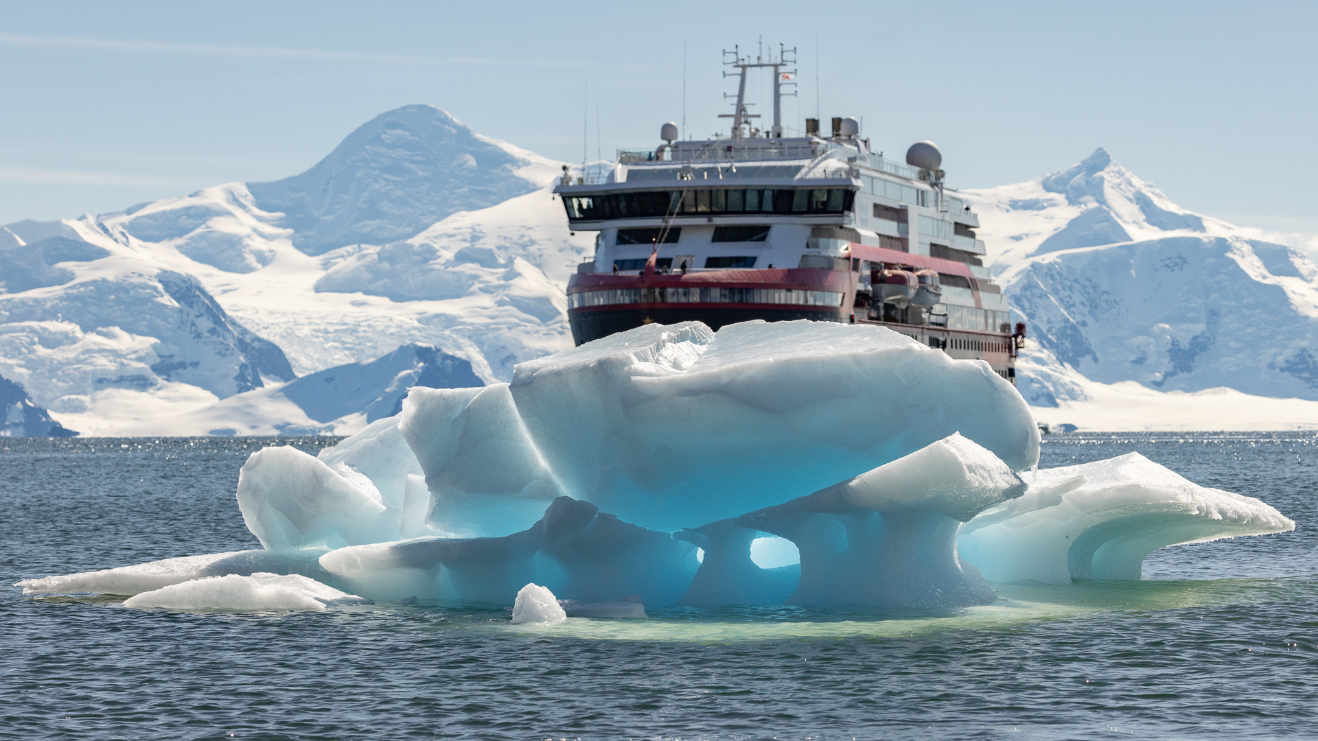
The National Geographic ship Resolution was leaving when we arrived. She is smaller than our ship, with only room for 138 guests. Built in 2021, she is a Polar Class 5 vessel, capable of year-round operation in ice up to 3.9 feet in thickness. I thought my trip aboard the MS Roald Amundsen was pricey, and it was, but passage aboard the Resolution was twice the cost of mine. It’s not for the faint of heart – these Antarctic trips are a once-in-a-lifetime opportunity.
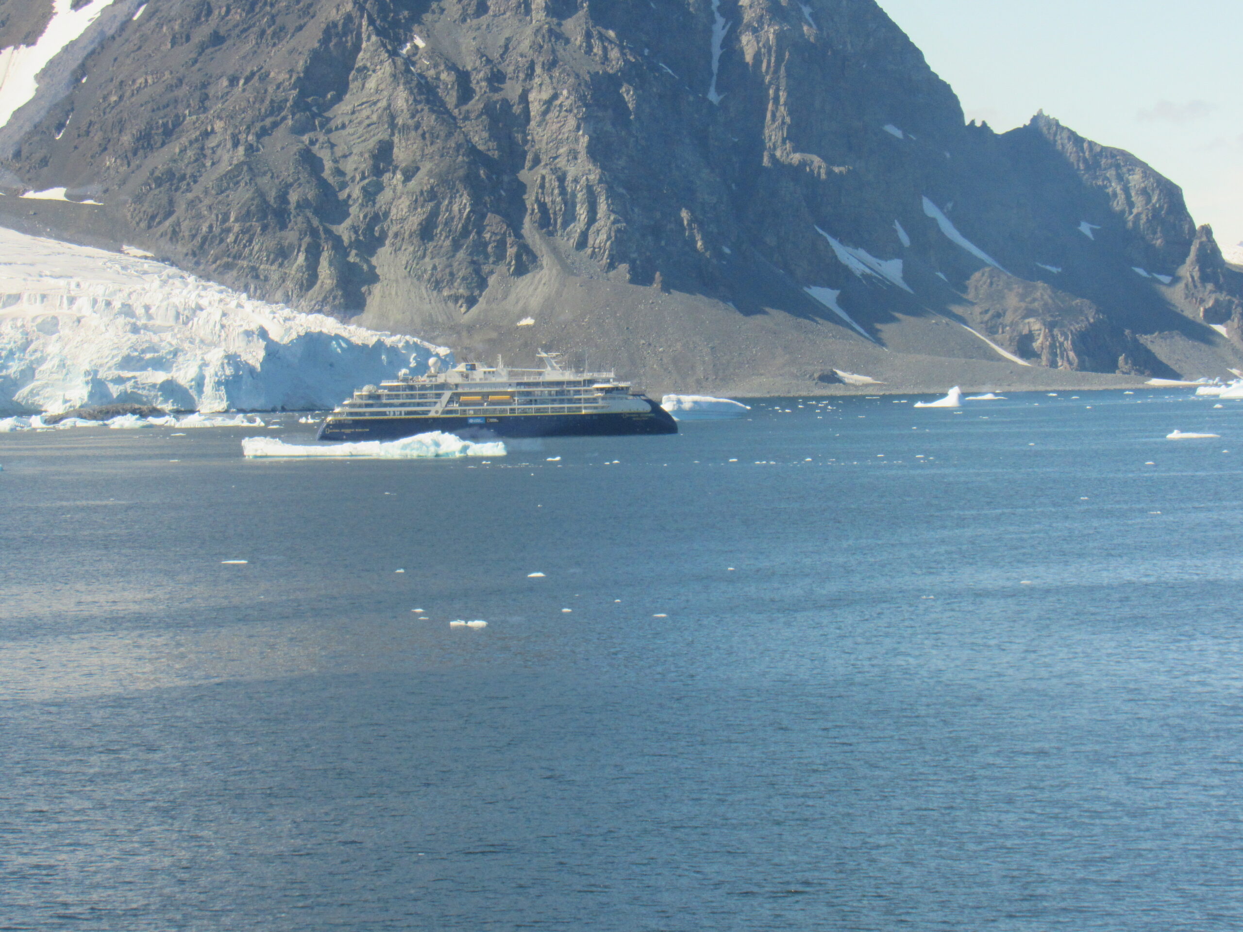
The Resolution
The ship was actually much farther way than the above photo shows. I was using the 50x optical zoom on my camera to get a better view. Here is an even closer look.
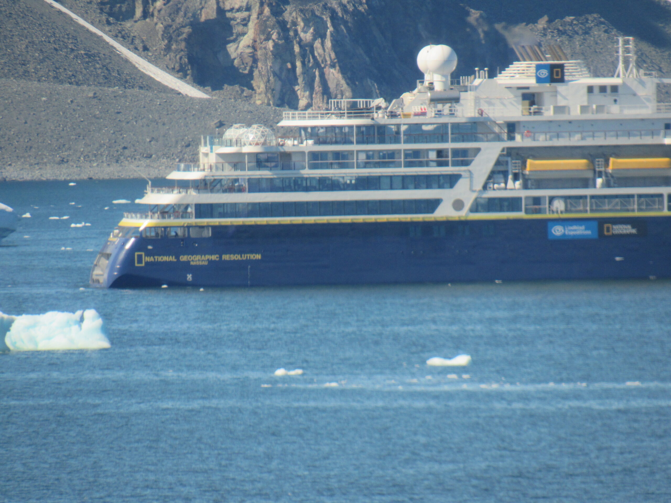
The Resolution.
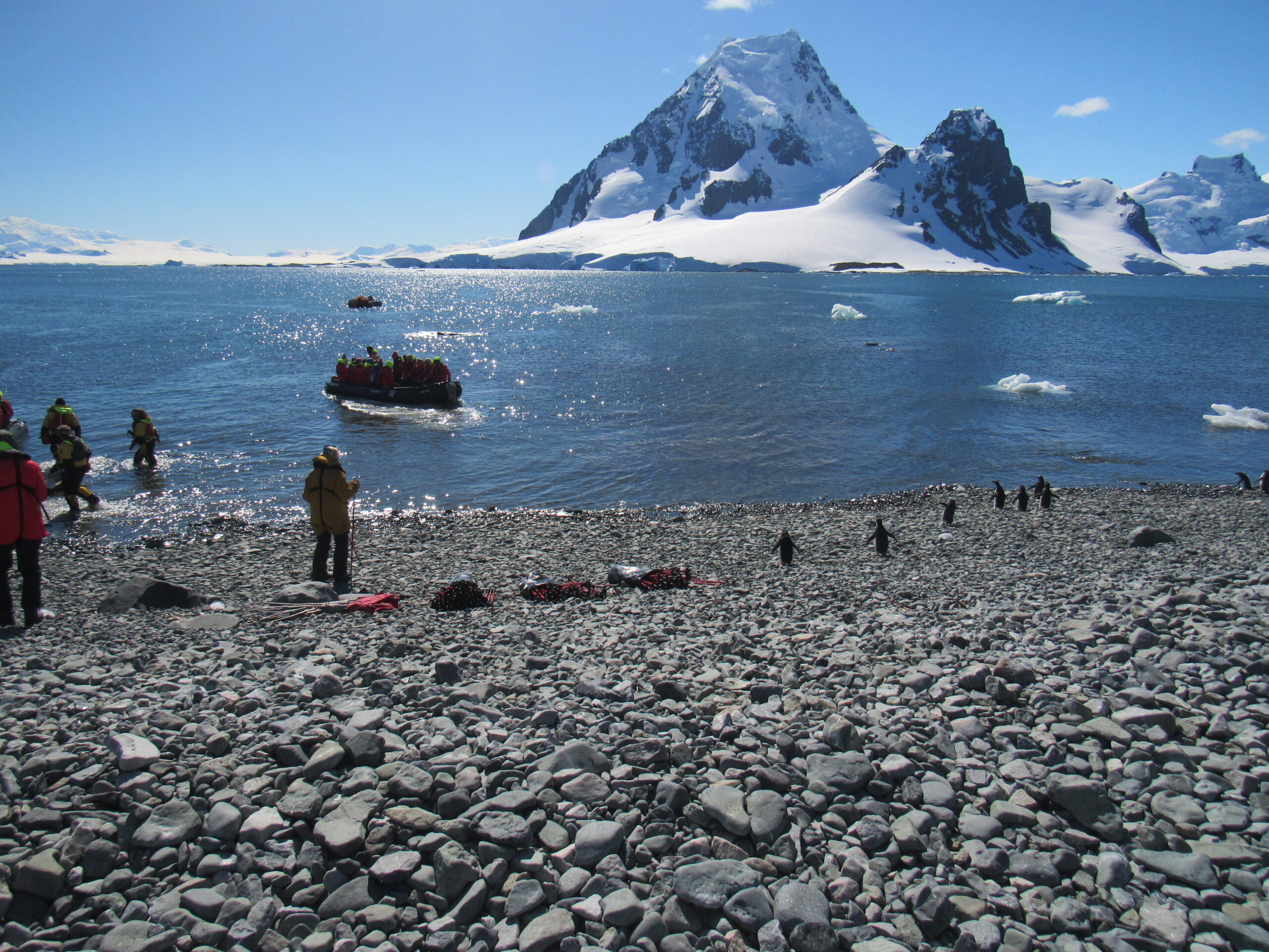
Pourquoi Pas Island is a spectacular place – I know that word can be overused, but it certainly does apply in this case. Wait until you see these pictures. I’ll start you off with some of the ones taken by the ship’s photographer. By the way, it was mid-afternoon by the time we went ashore.
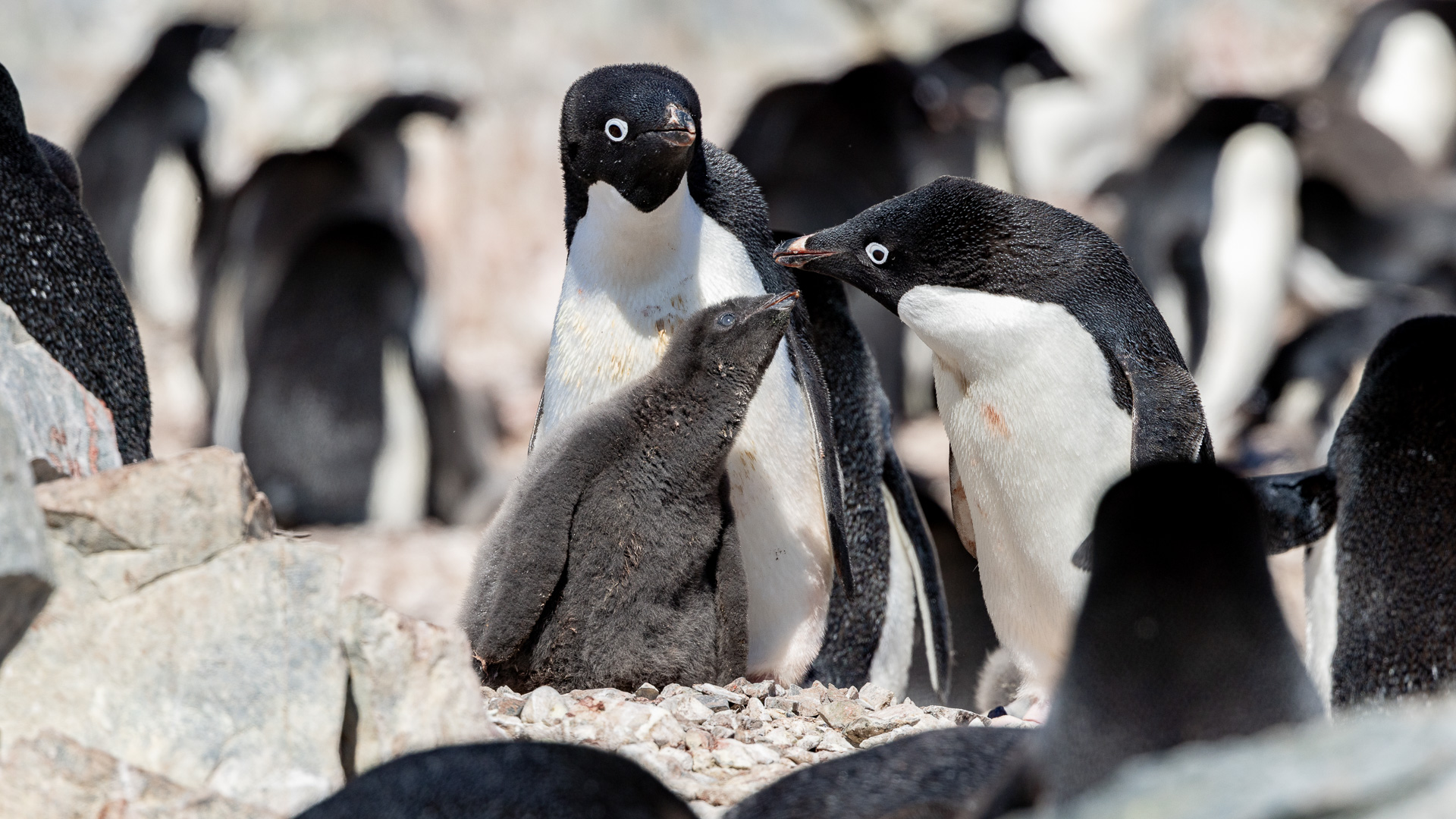
An Adelie penguin chick being fed by its parents.
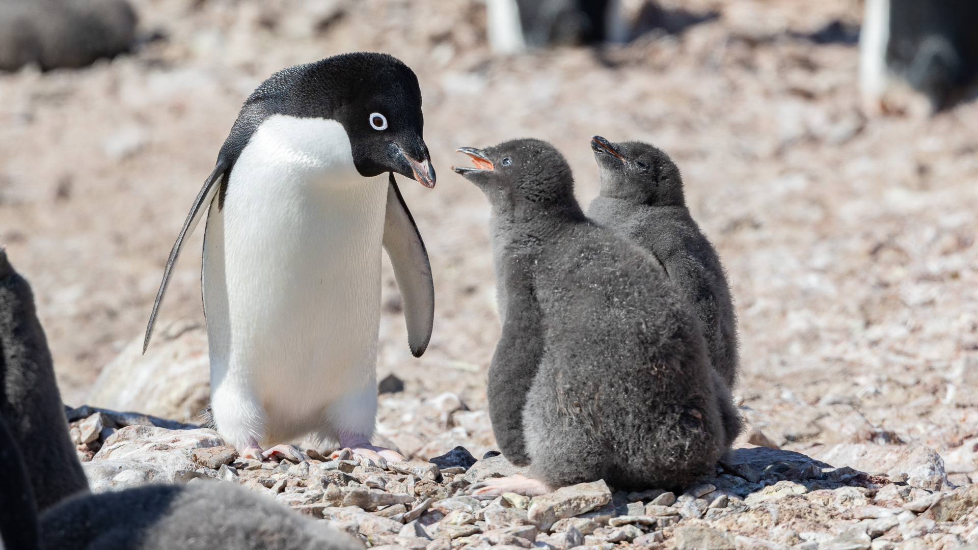
More chicks. Hey, feed me!
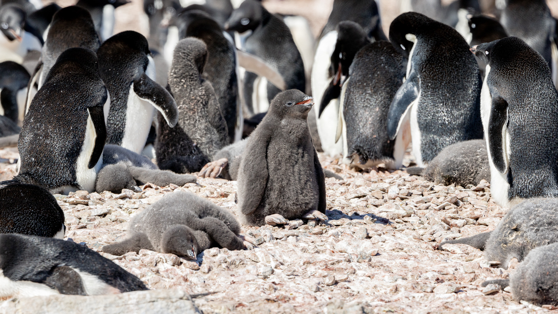
Chicks among the adults.
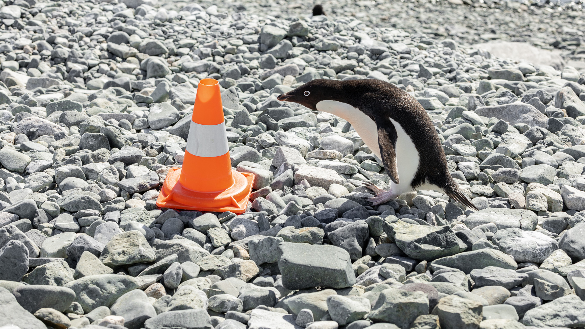
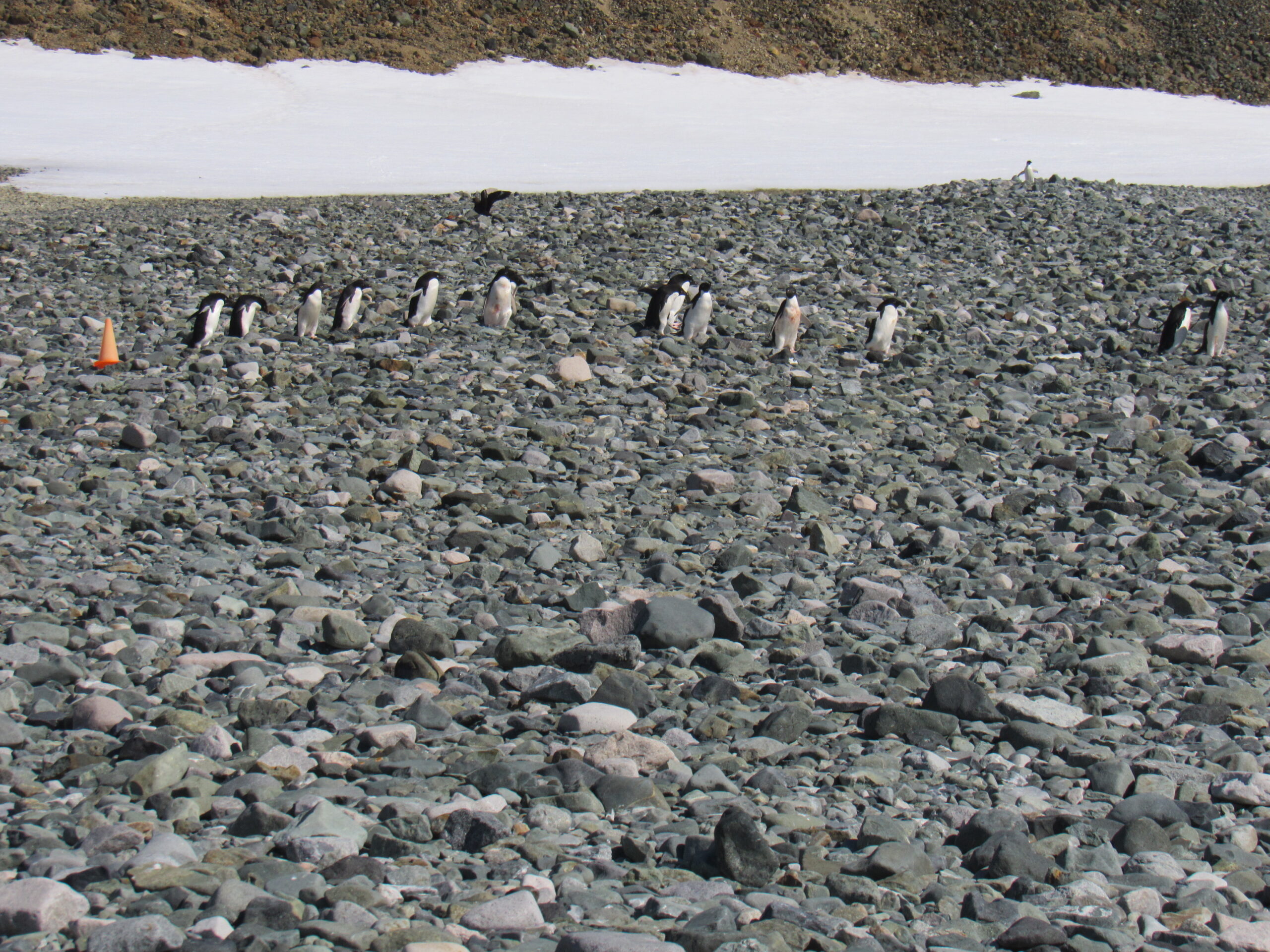
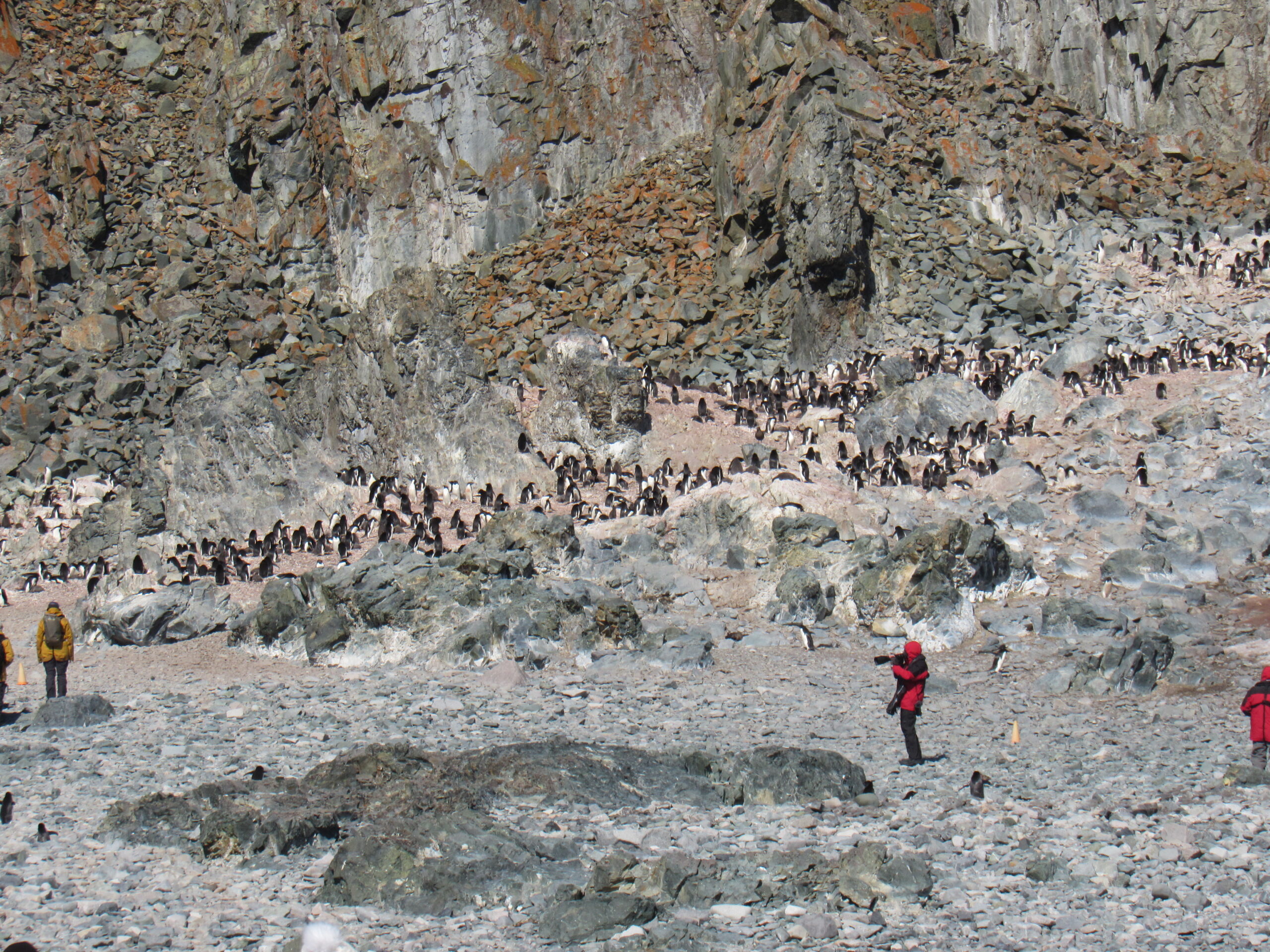
The cones made clear where we could and could not walk when on shore. This guy looks like he’s trying to figure our what the heck this thing is.
Our ship, parked out in the bay.
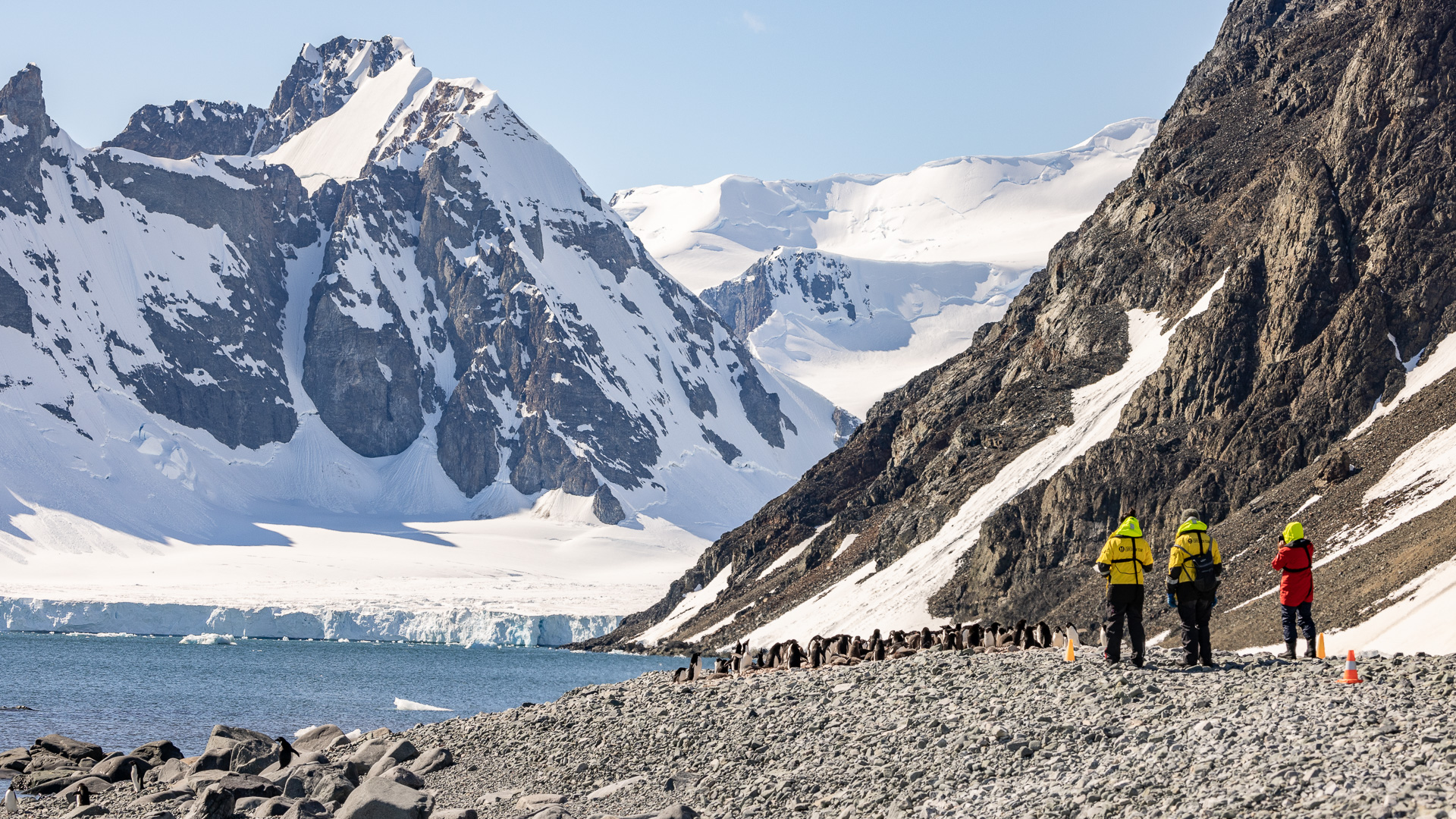
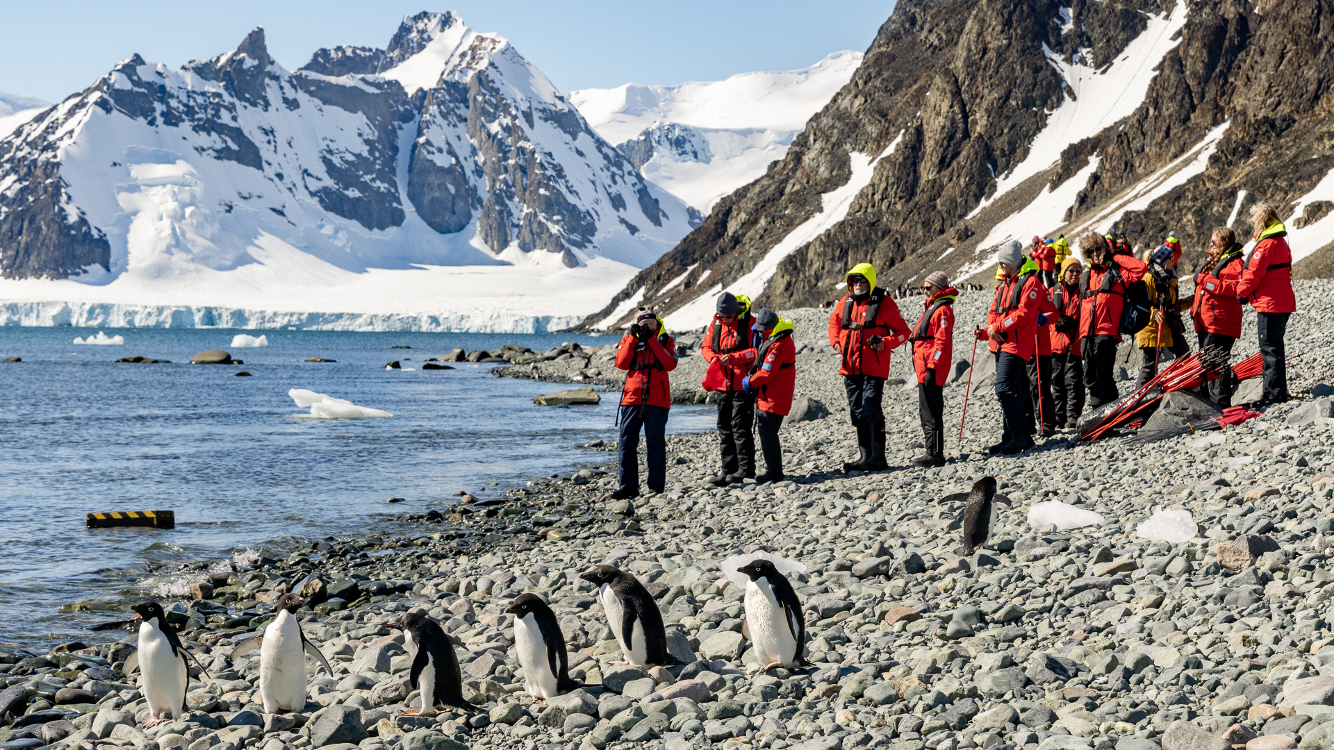
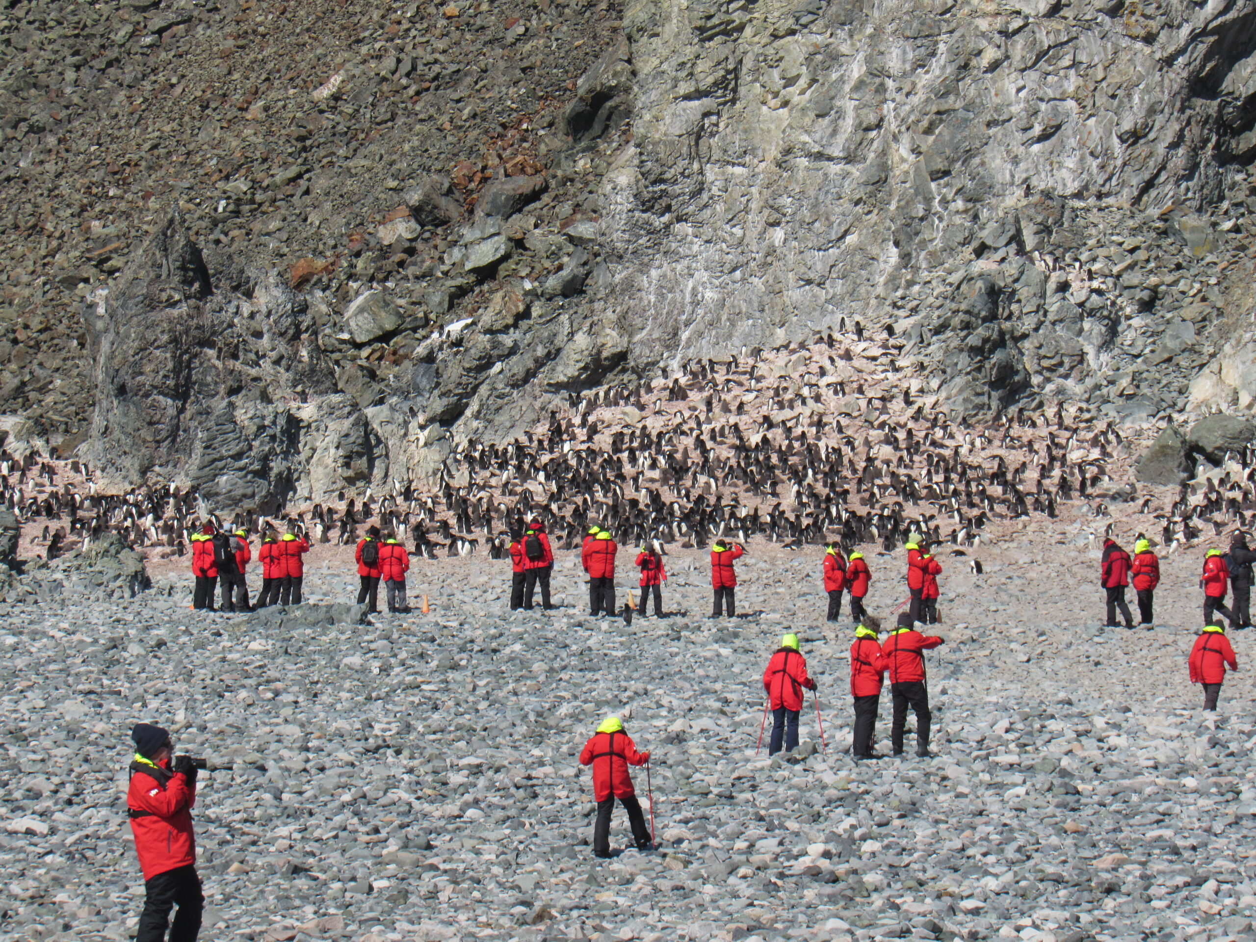
Passengers at the penguin colony.

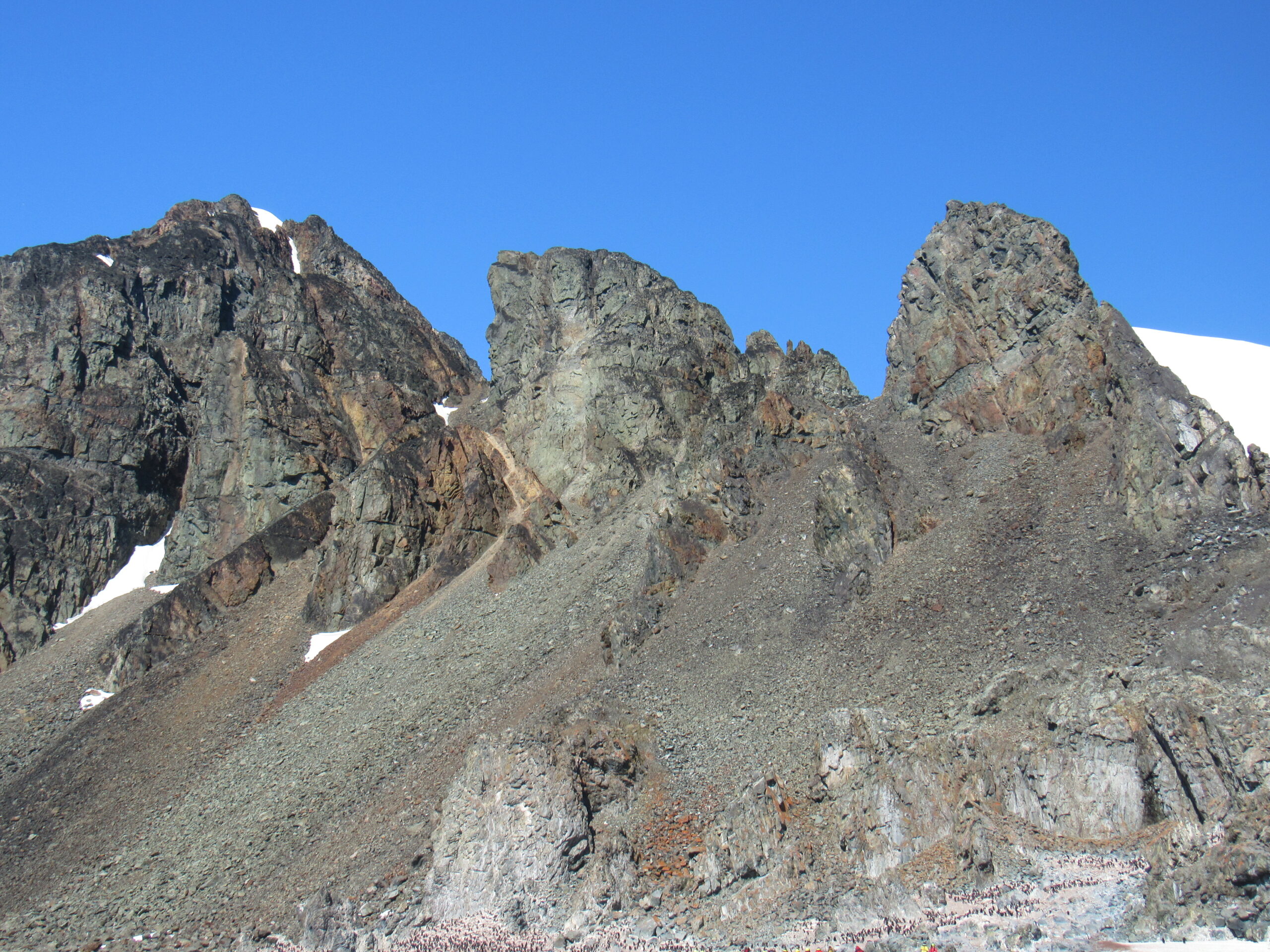
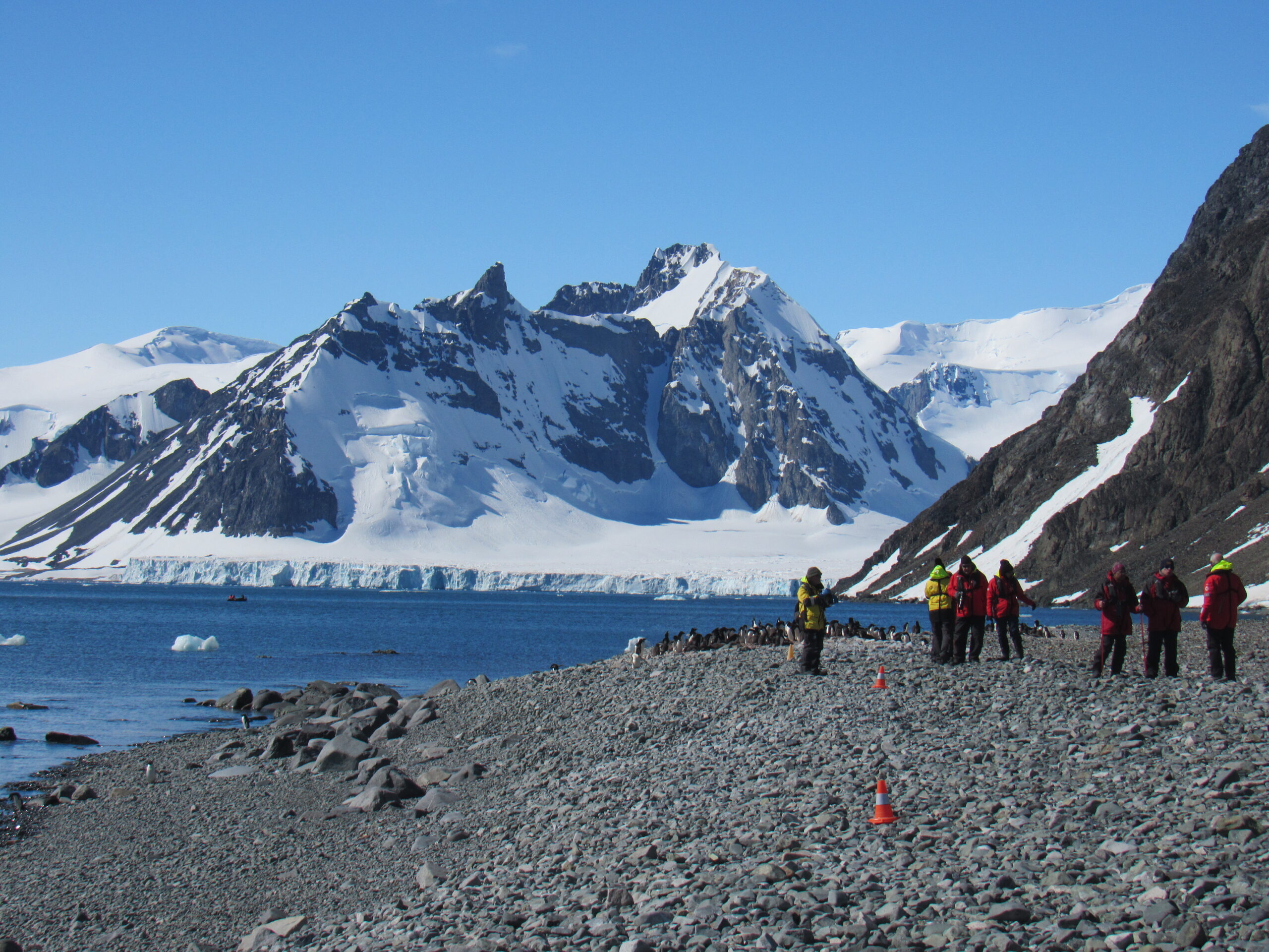
A view of the mountains seen from Bongrain Point
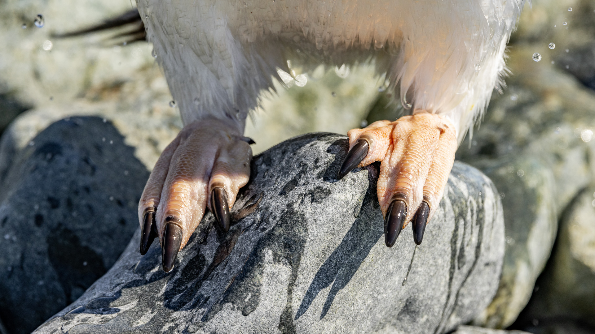
Adelie penguin feet.
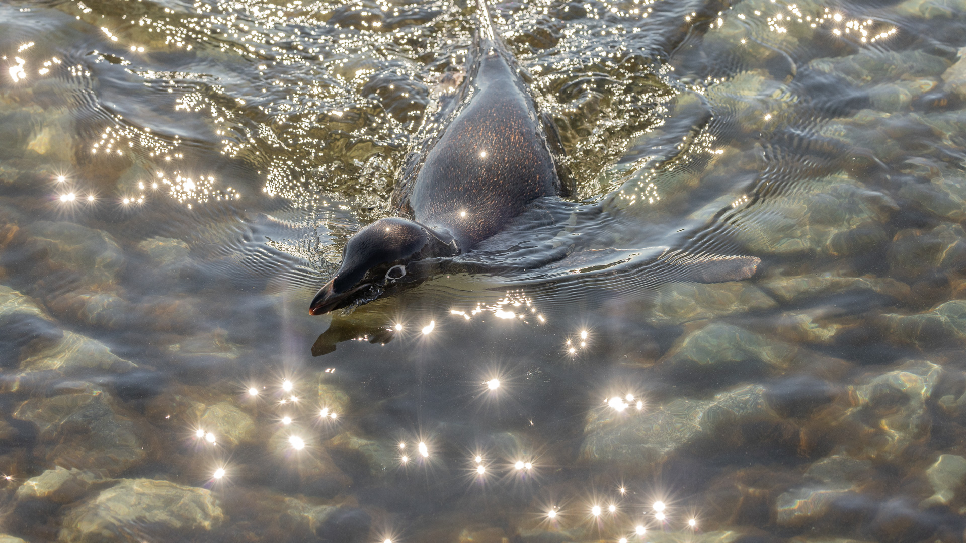
Penguin swimming
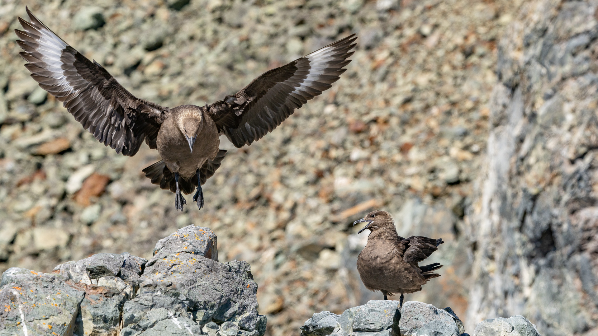
South polar skuas.
Passengers lined up, waiting their turn to ride the Zodiacs back to the ship. It looks like the penguins are also waiting their turn.
Zodiacs coming to and from our ship.
When I was ashore, I took a lot of photos, and here are my favorites.
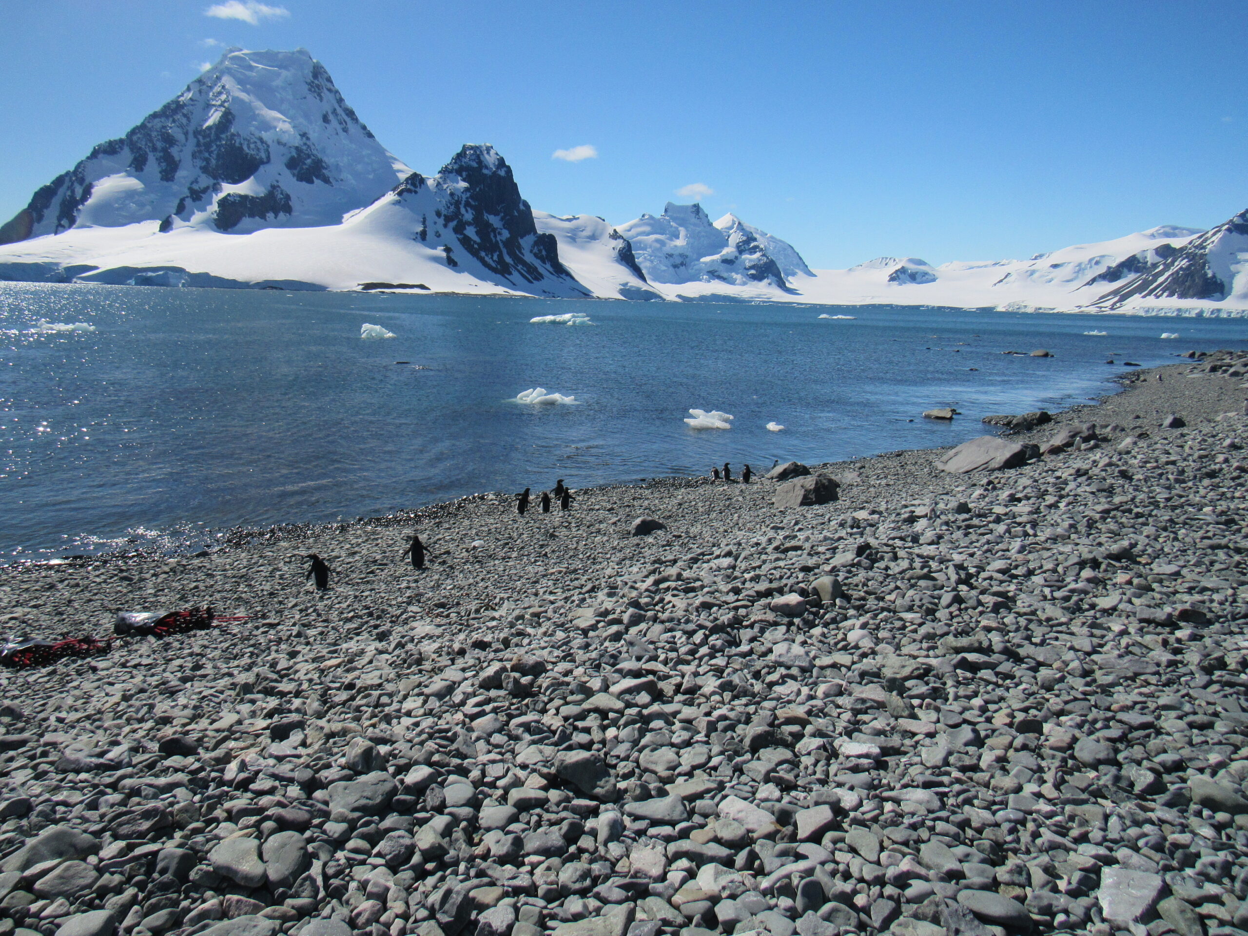
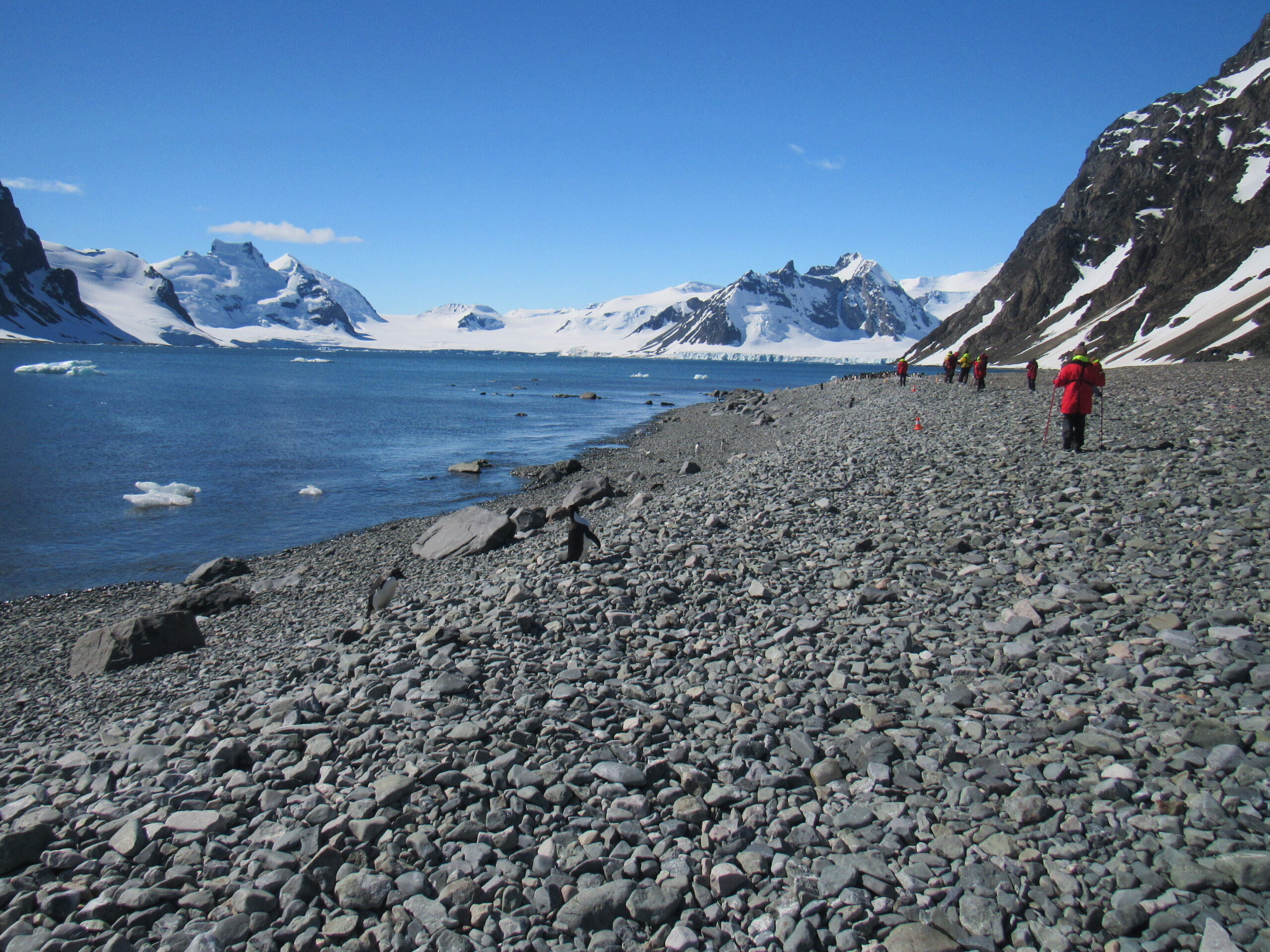
The shore at Bongrain Point
Looking farther inland
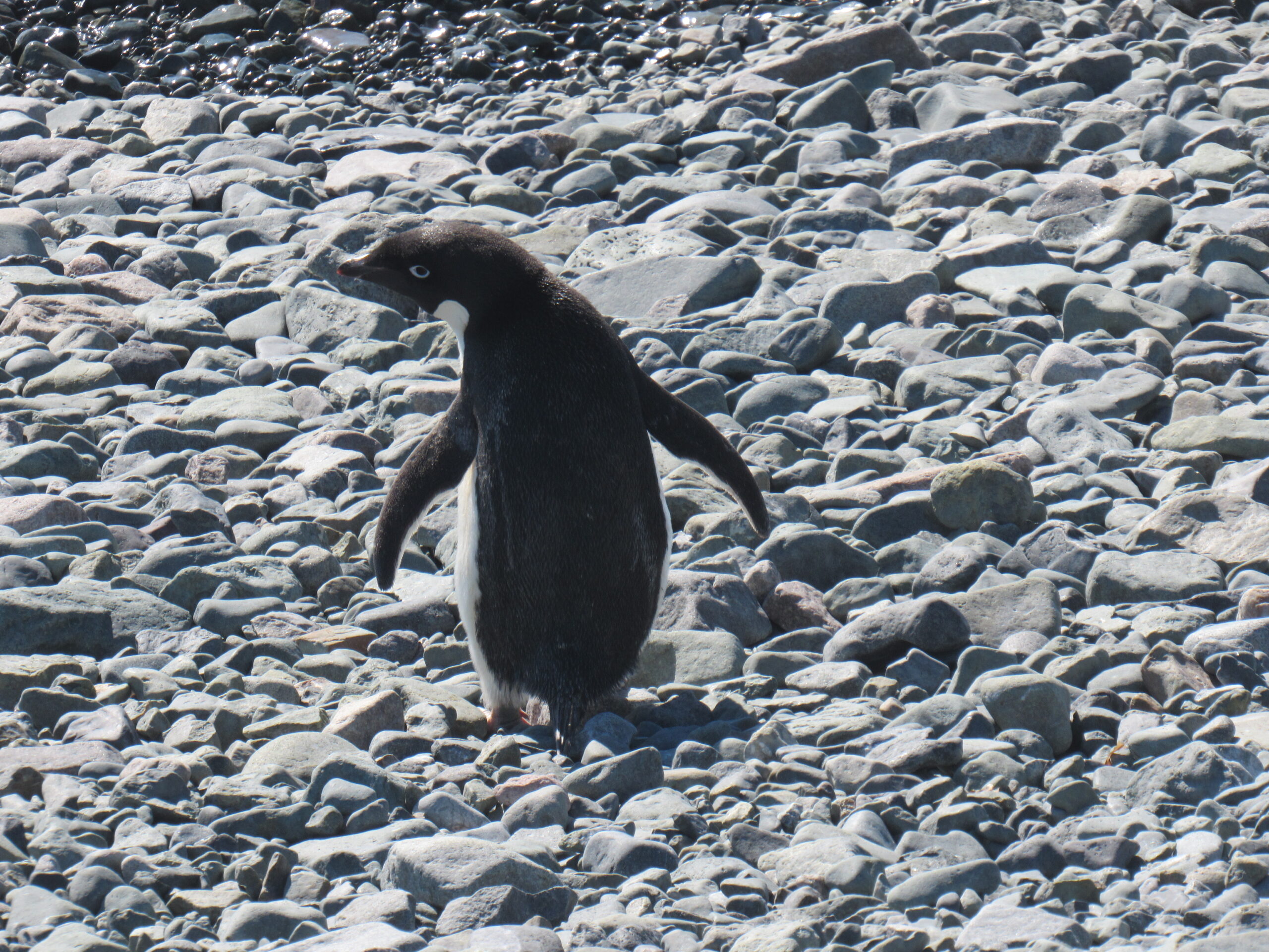
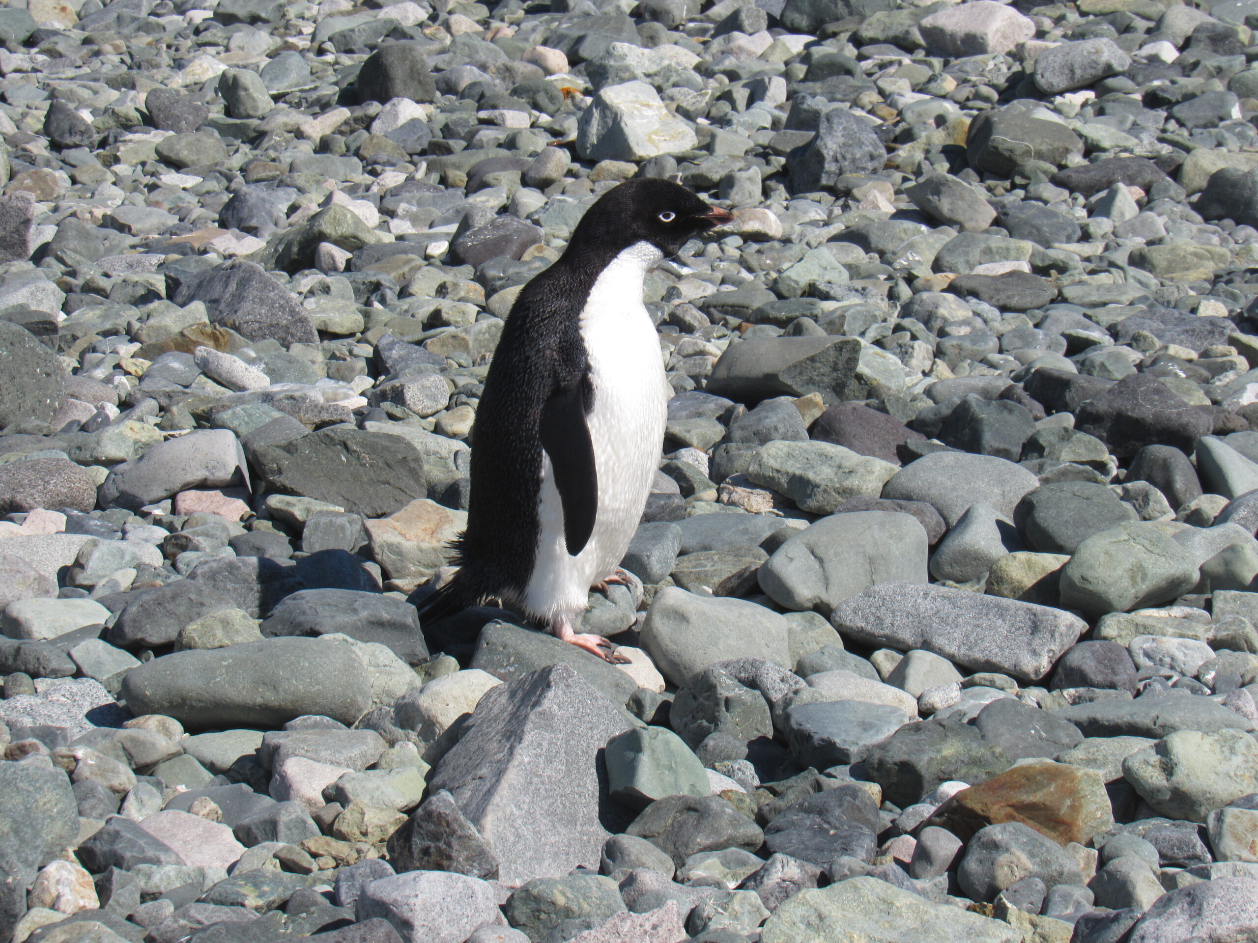
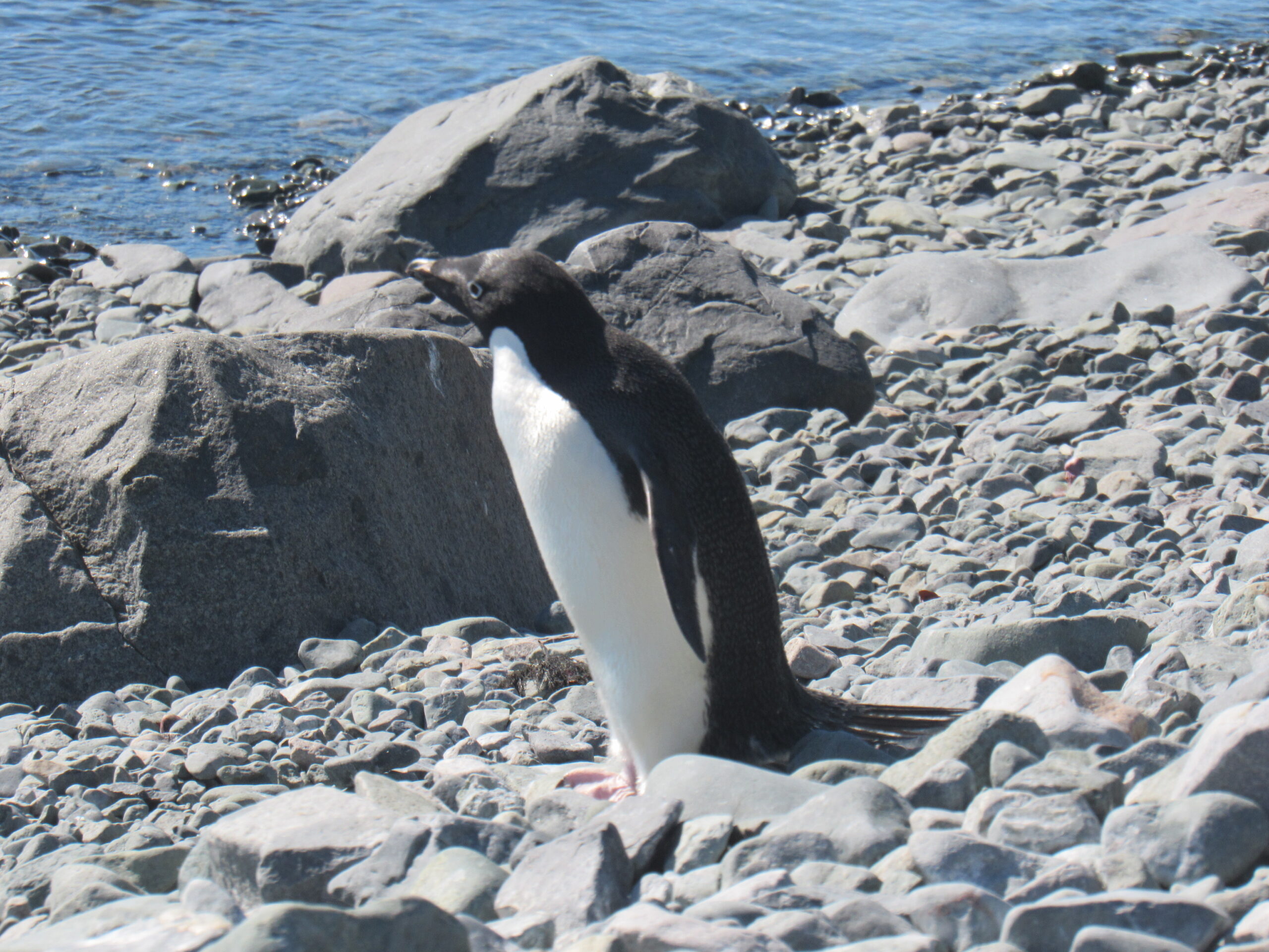
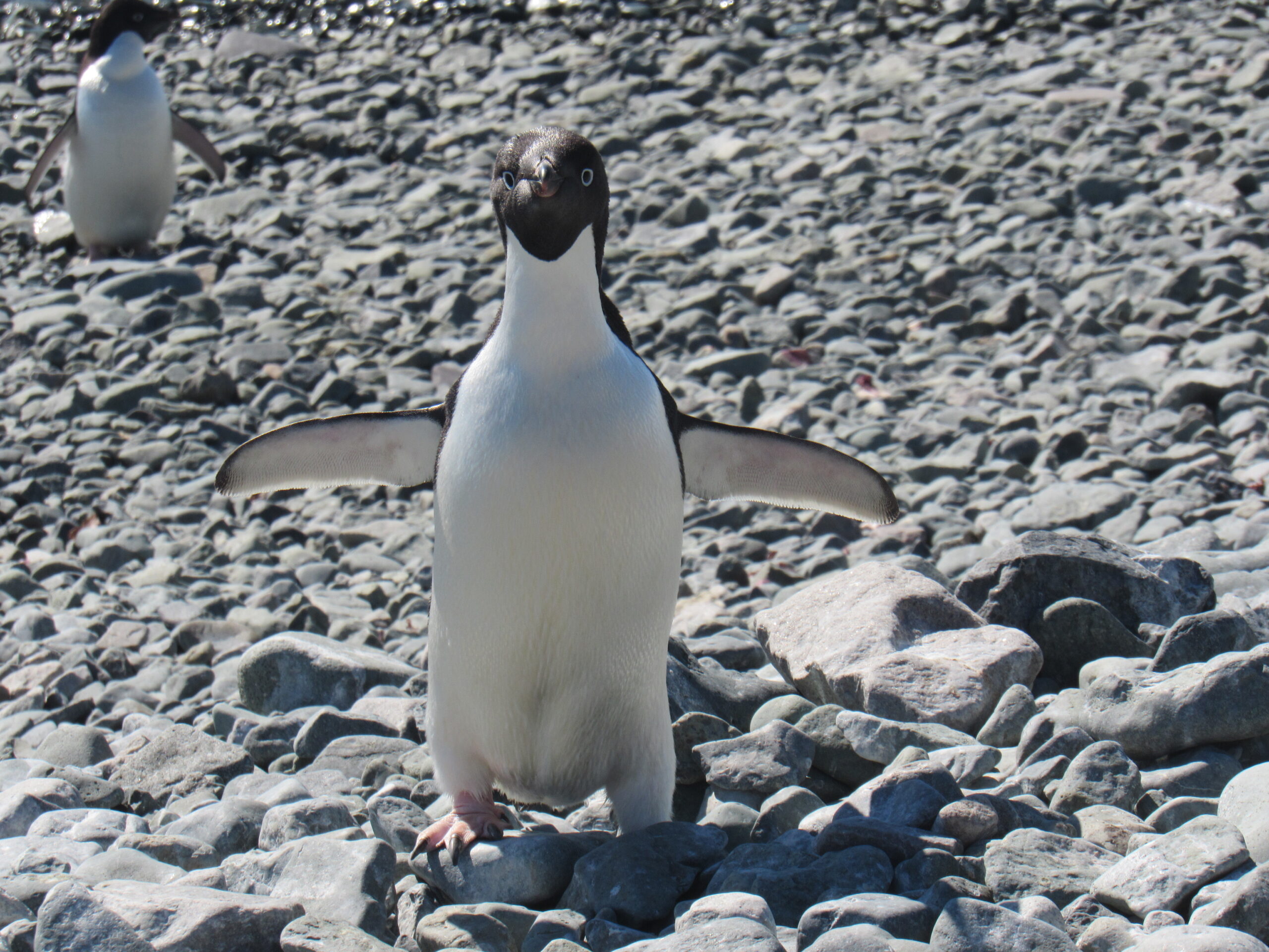
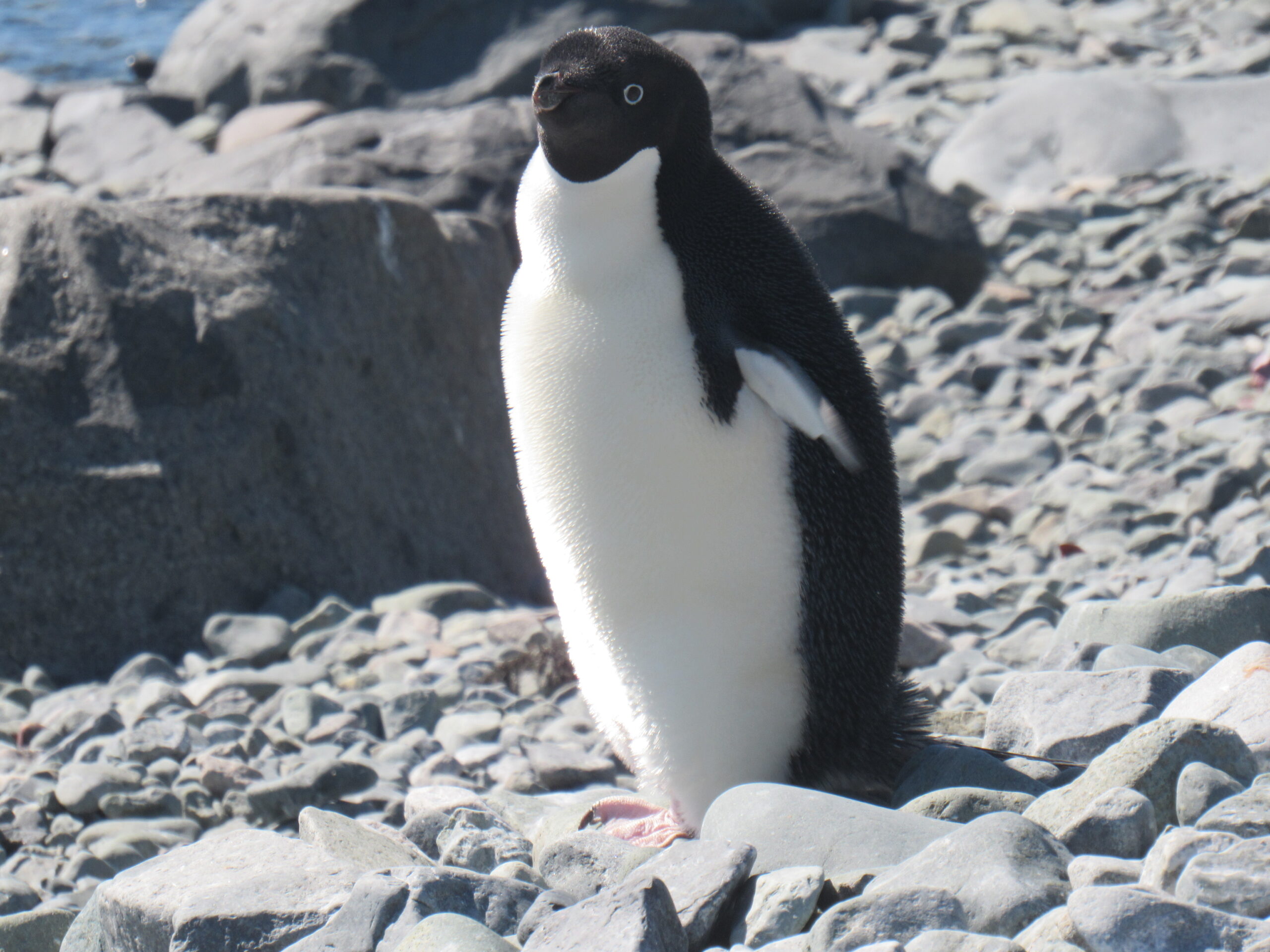
An Adelie penguin.
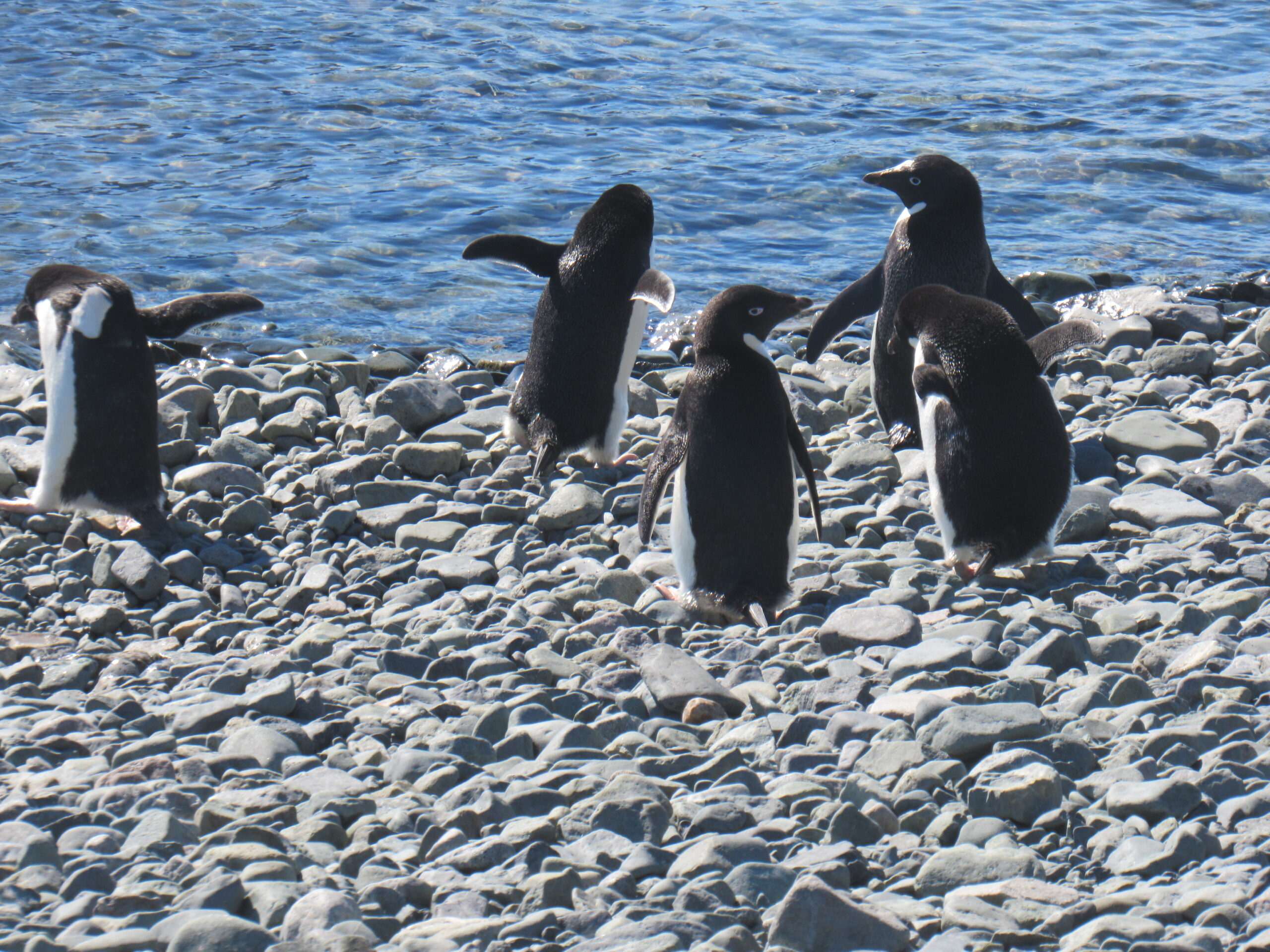
A group near the shore.
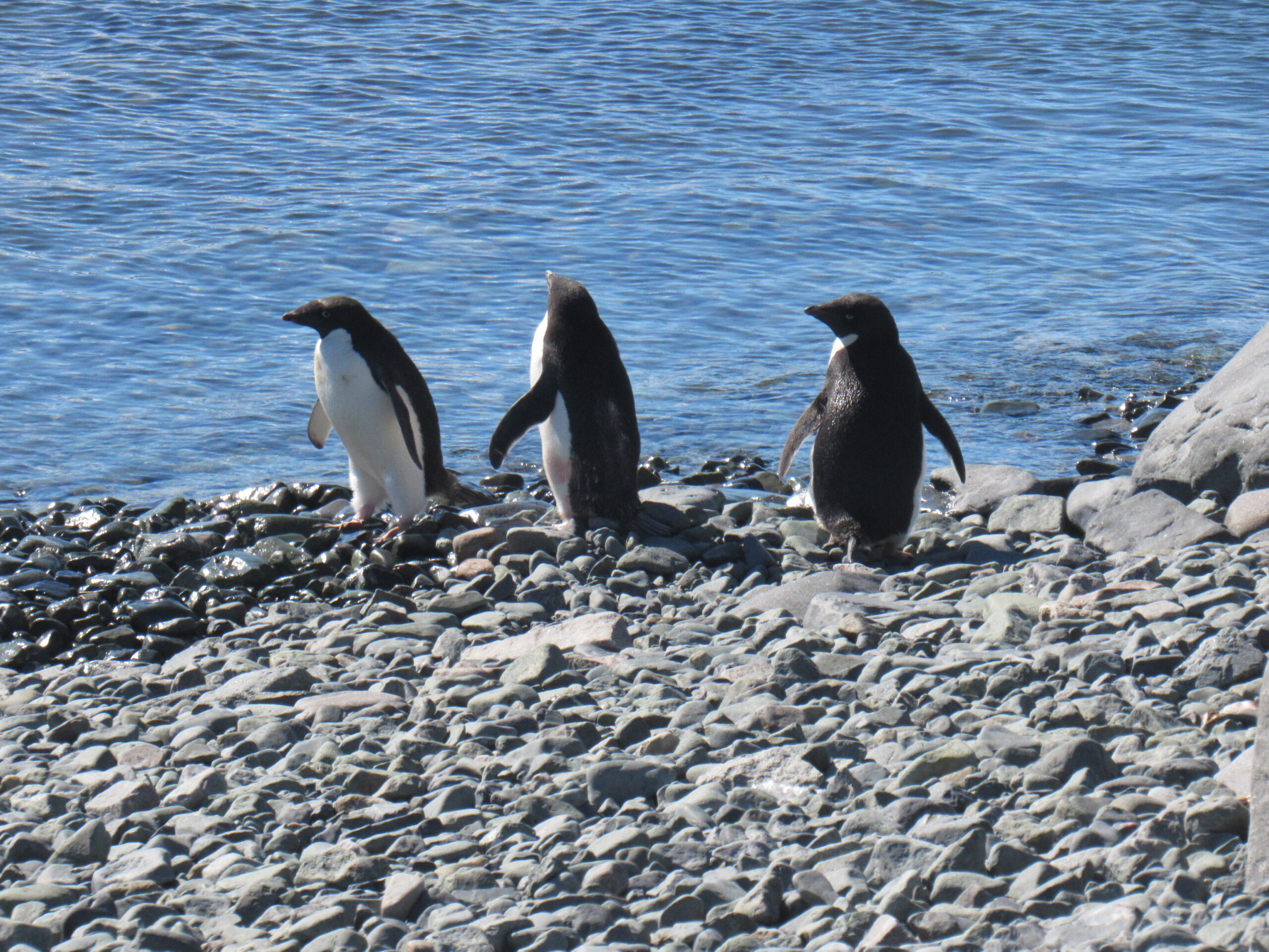
Heading into the ocean.
A parade of penguins
Preening
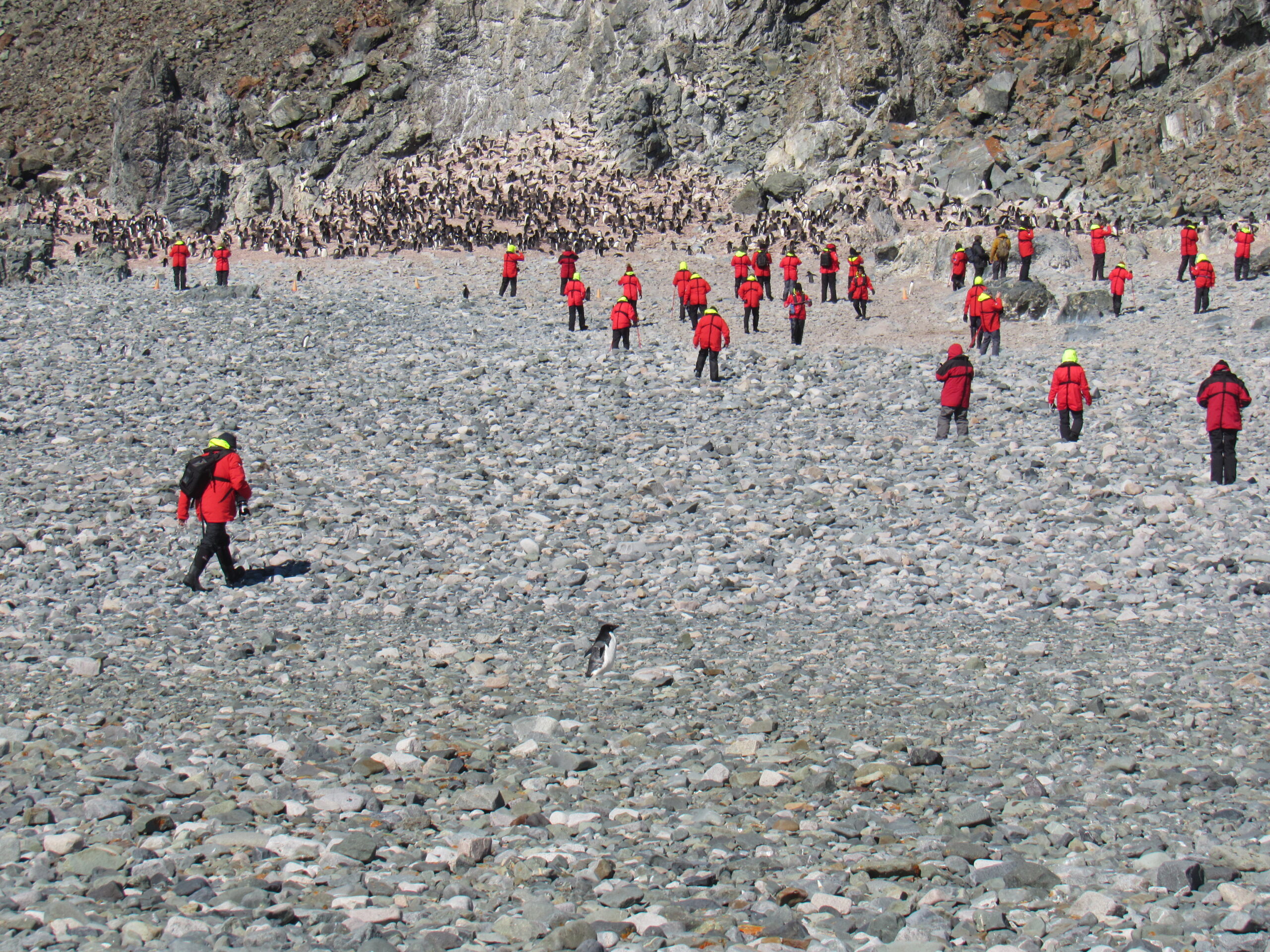
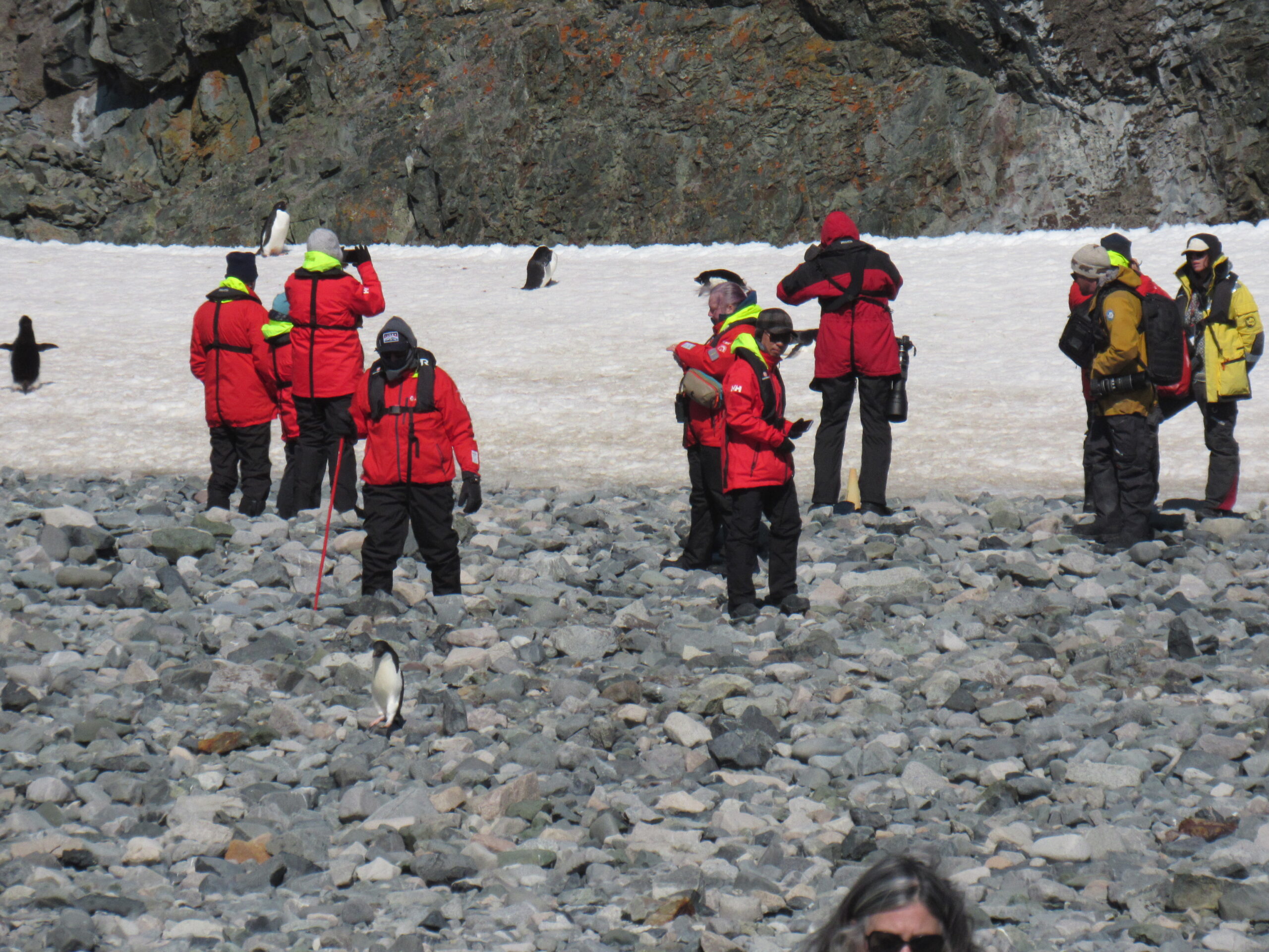
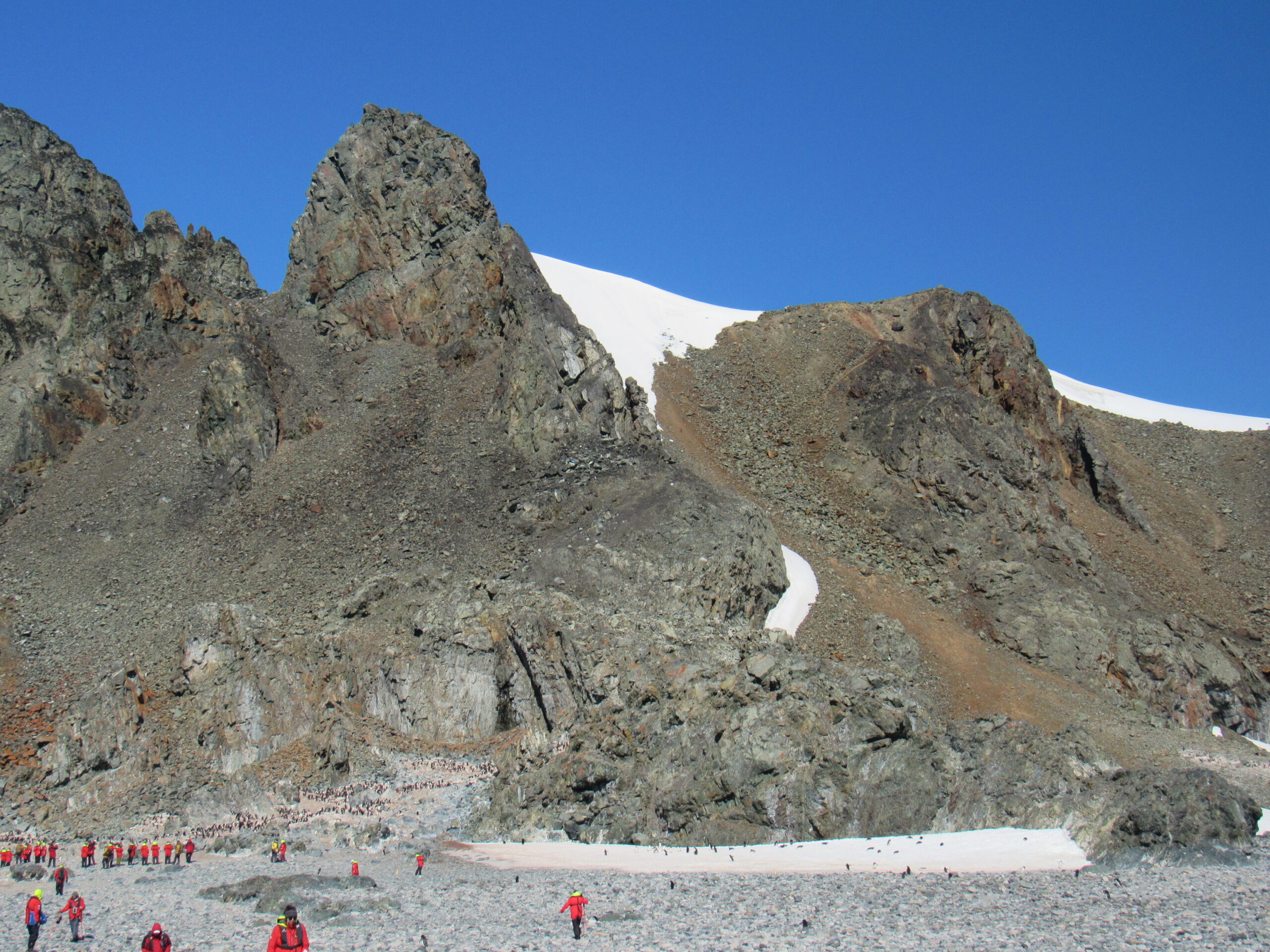
Passengers in front of the Adelie penguin colony

A close-up view of the colony
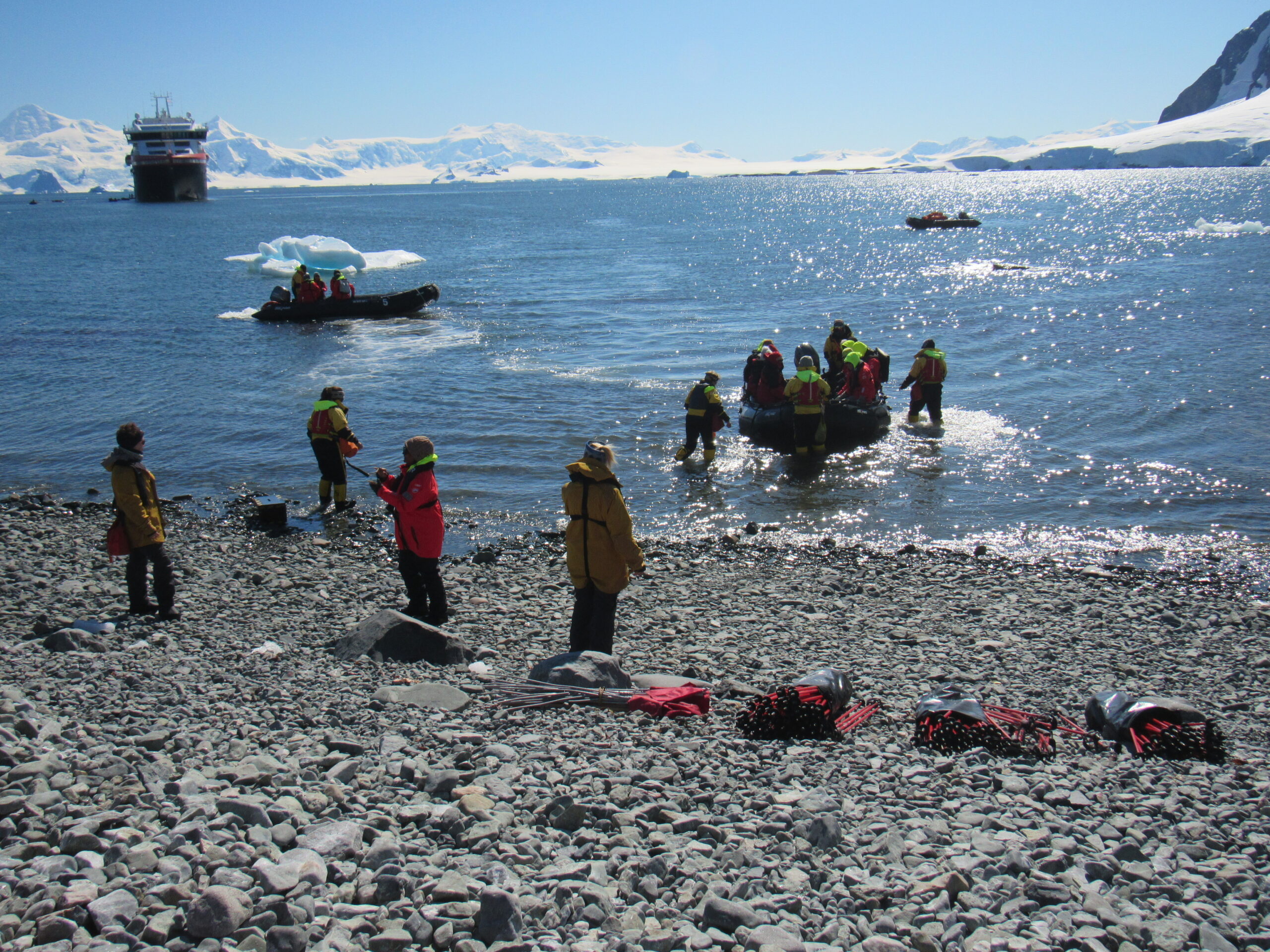
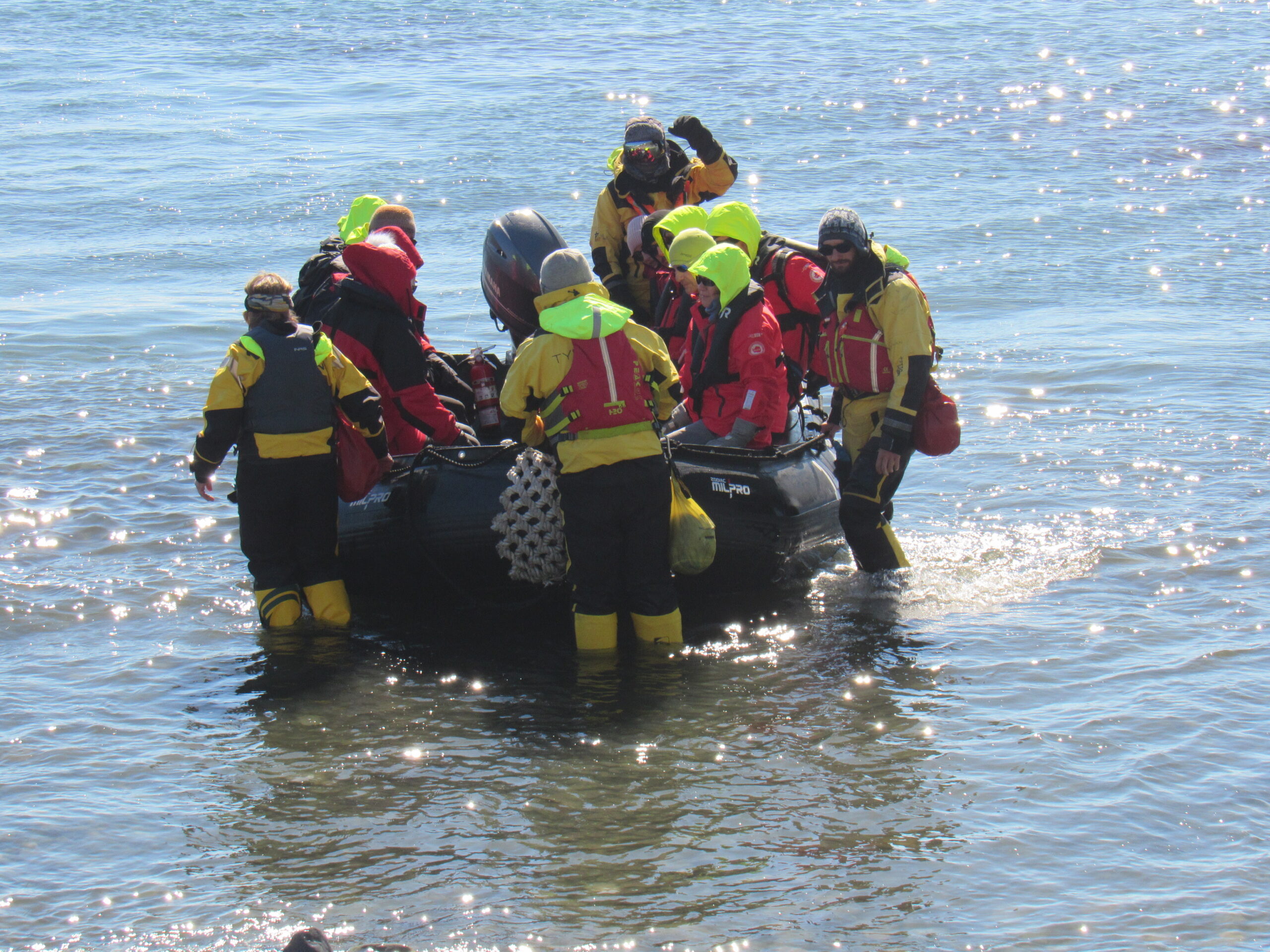
The Zodiacs moving to and from the shore.
Coming ashore.
Those wearing yellow jackets were crew members, while those in red are passengers. The crew took good care of us, helping everyone ashore. As you can see, the water is at least a foot deep, and stepping off of the boat into the ice-cold ocean had to be done carefully – the stony bottom was uneven. Many of the passengers were seniors like me, and appreciated the helping hand.
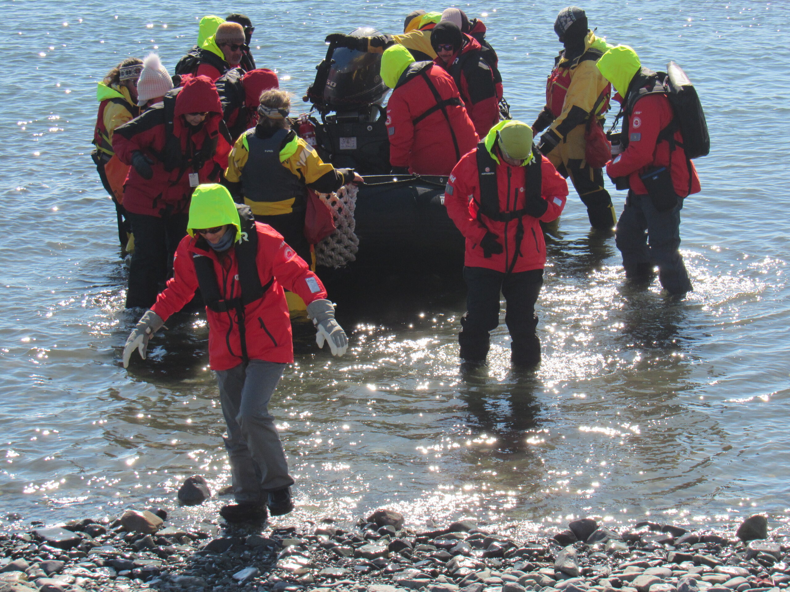
Stepping ashore.
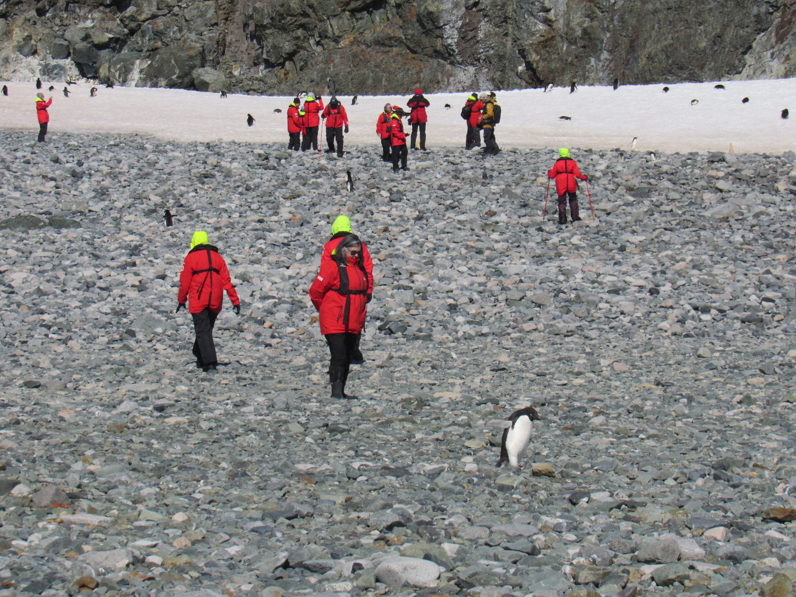
Strolling around on shore. The penguins always had the right-of-way. We had to remain at least 15 feet away from them. If they walked nearer to us, we had to stop to let them pass.
Walking and observing.
Are you looking at me!

Posing for his close-up
Another view of the colony
Looking down the bay.
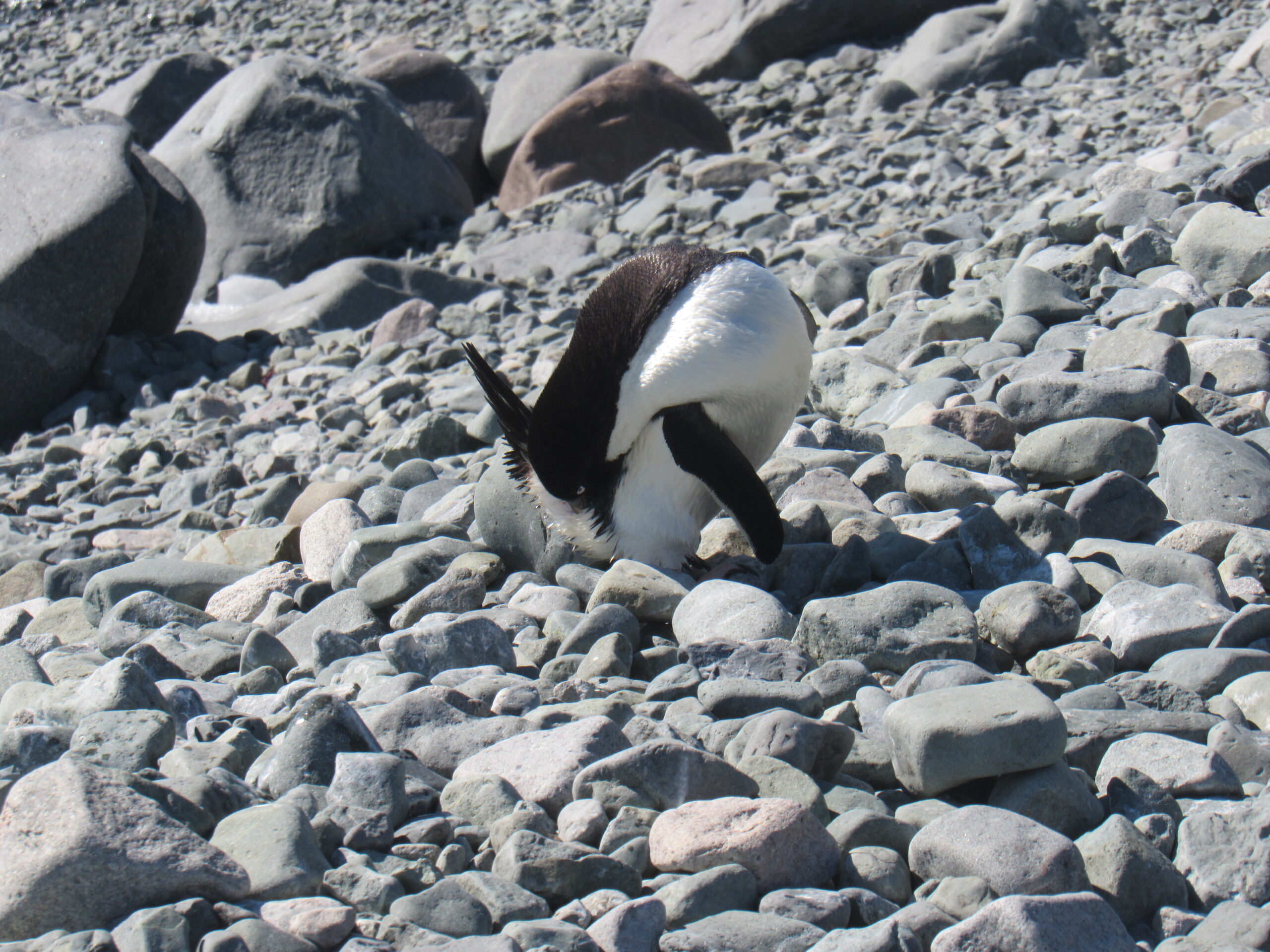
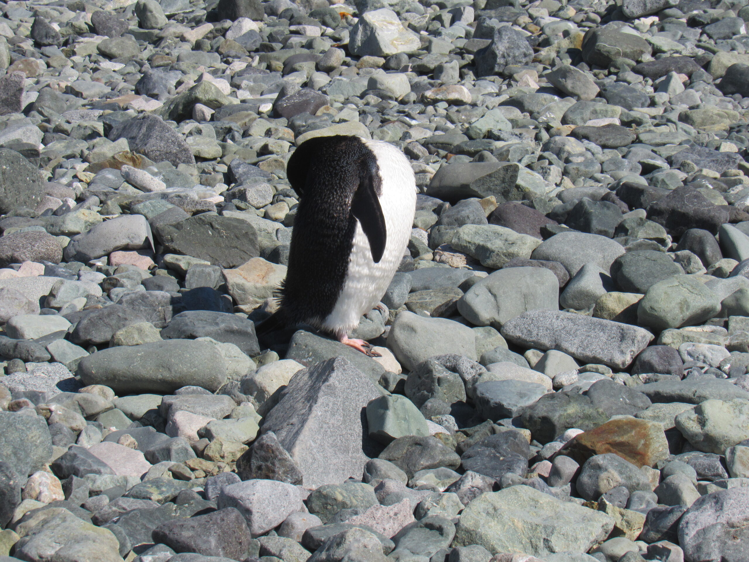
Adelie preening.
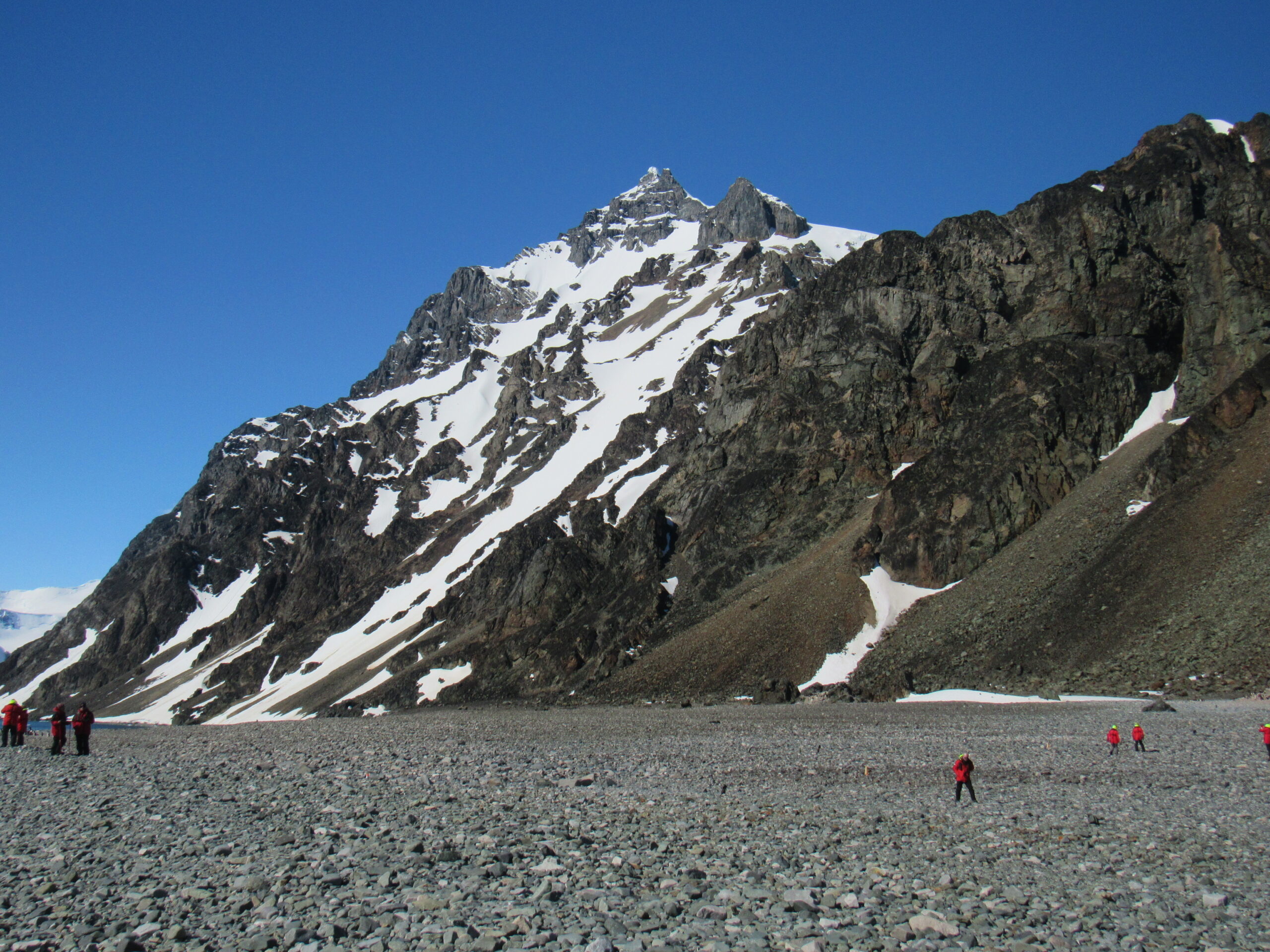
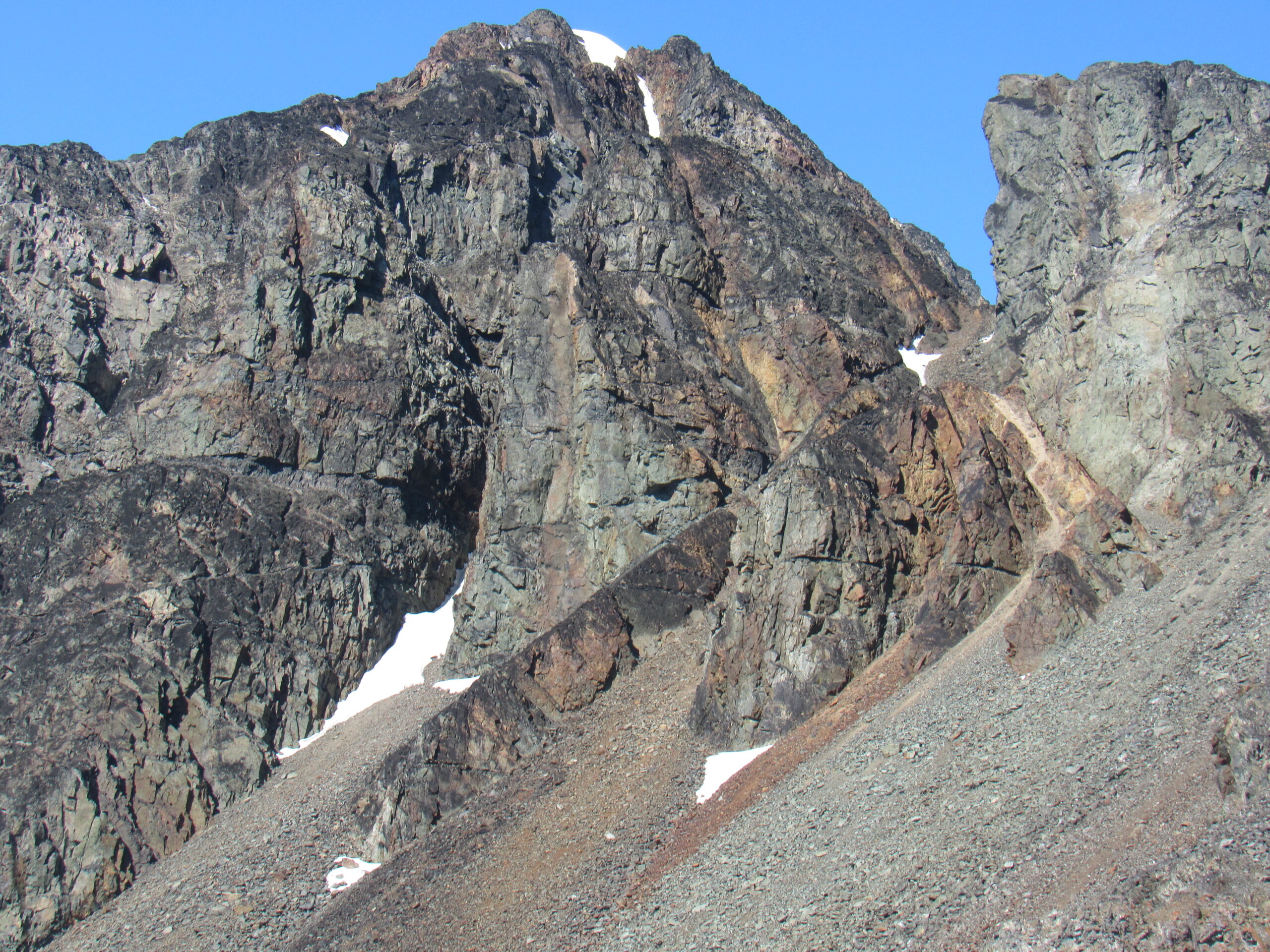
A mountain by the bay.
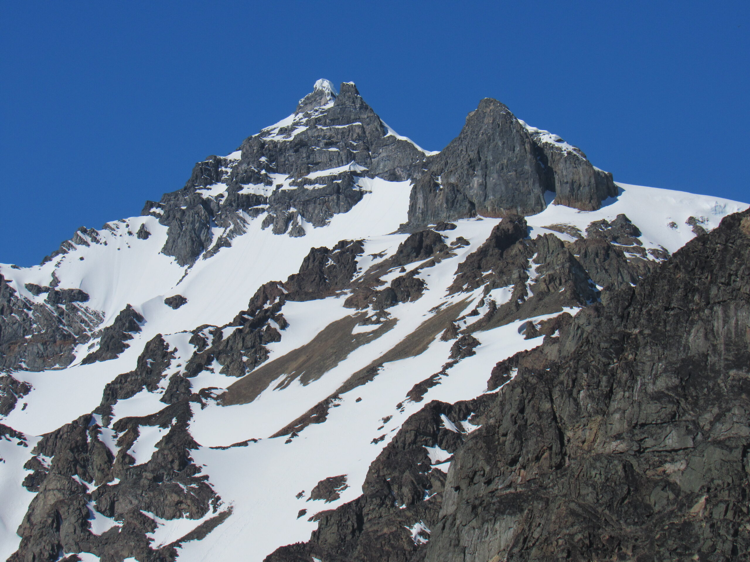
A close-up of the peak.
Right beside Bongrain Point
Nearby peaks.
Another nearby view
Beauty everywhere you looked.
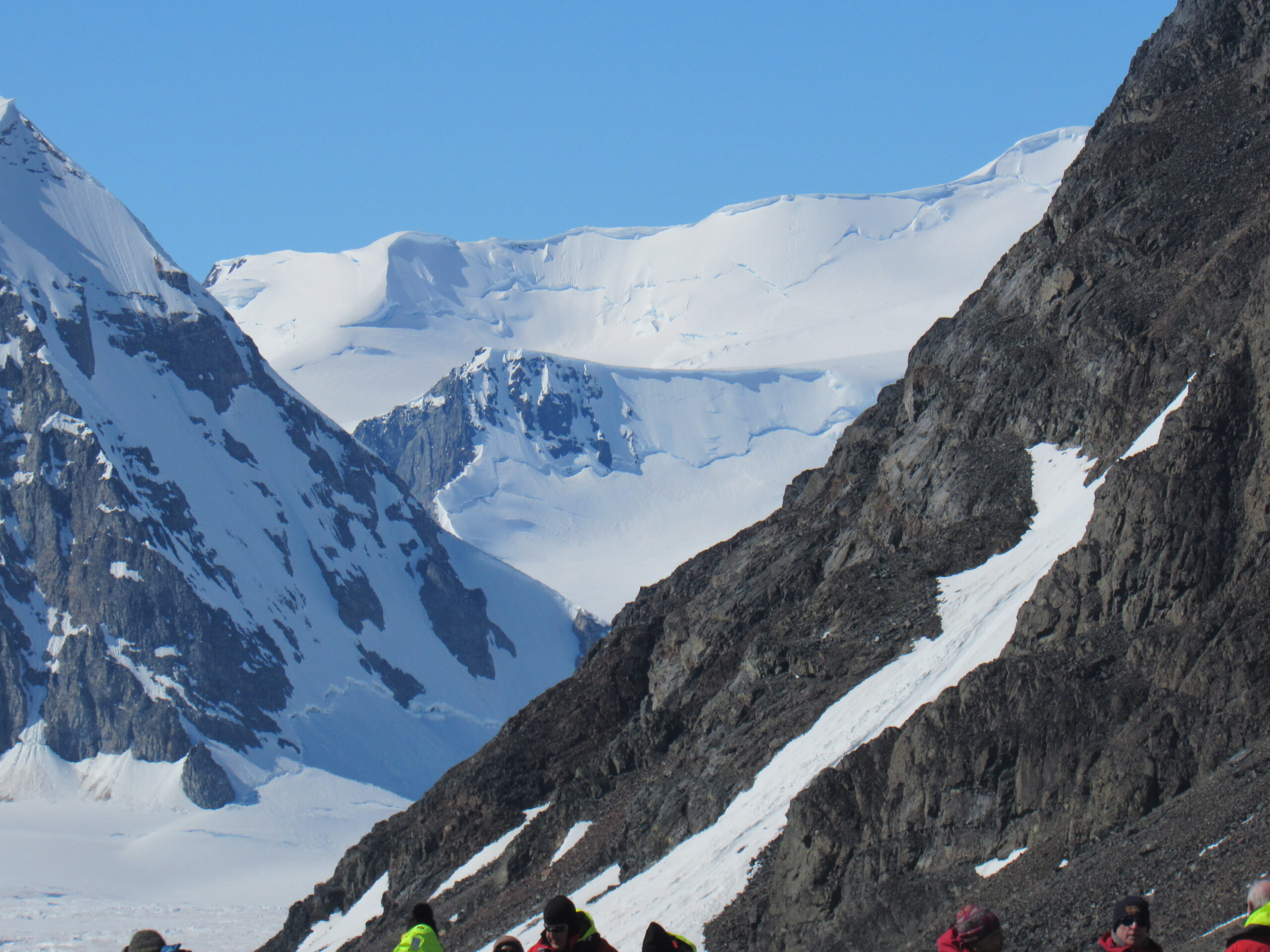
A closer view of the peak.

Another nearby peak
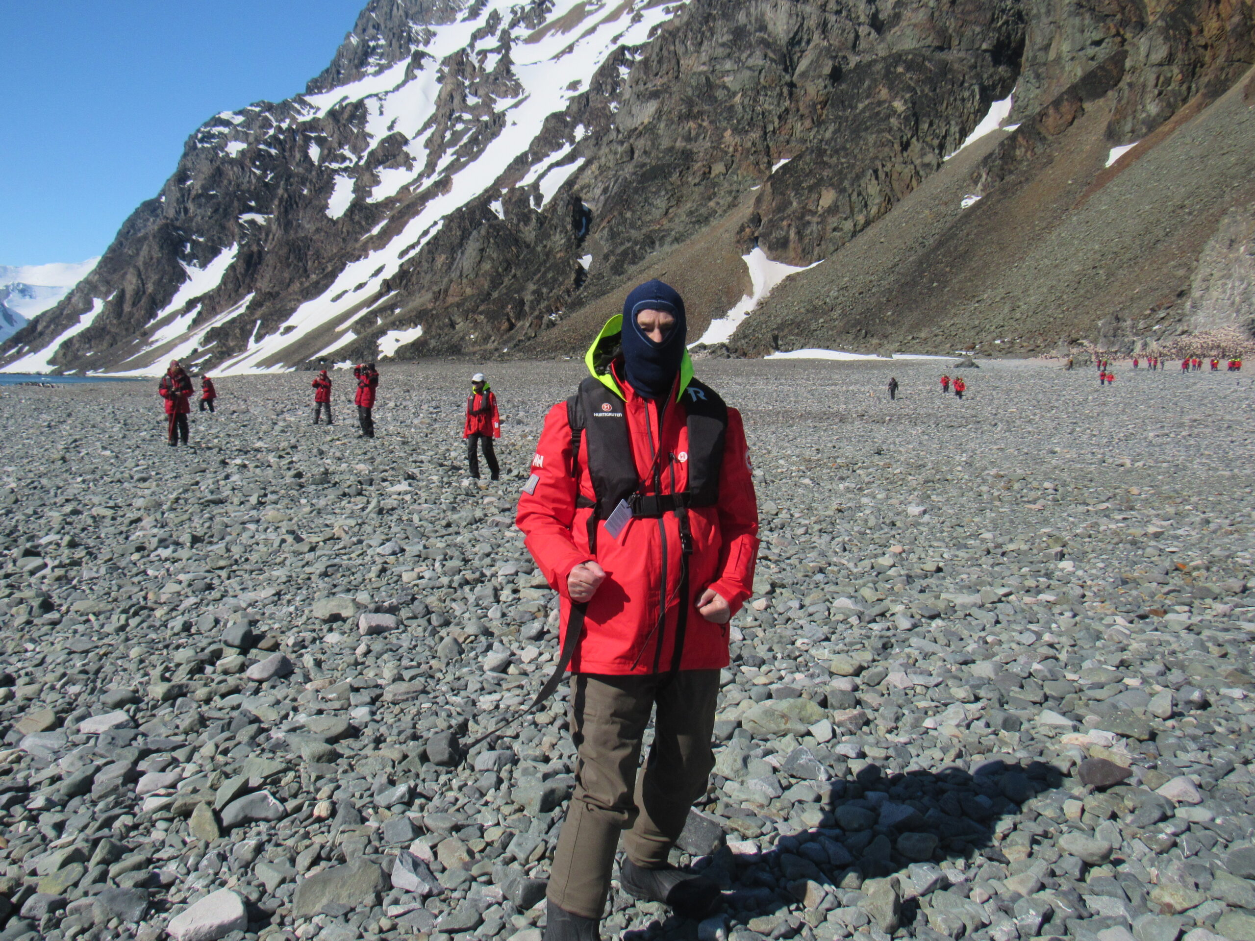
I usually wore a balaclava against the cold, dry air
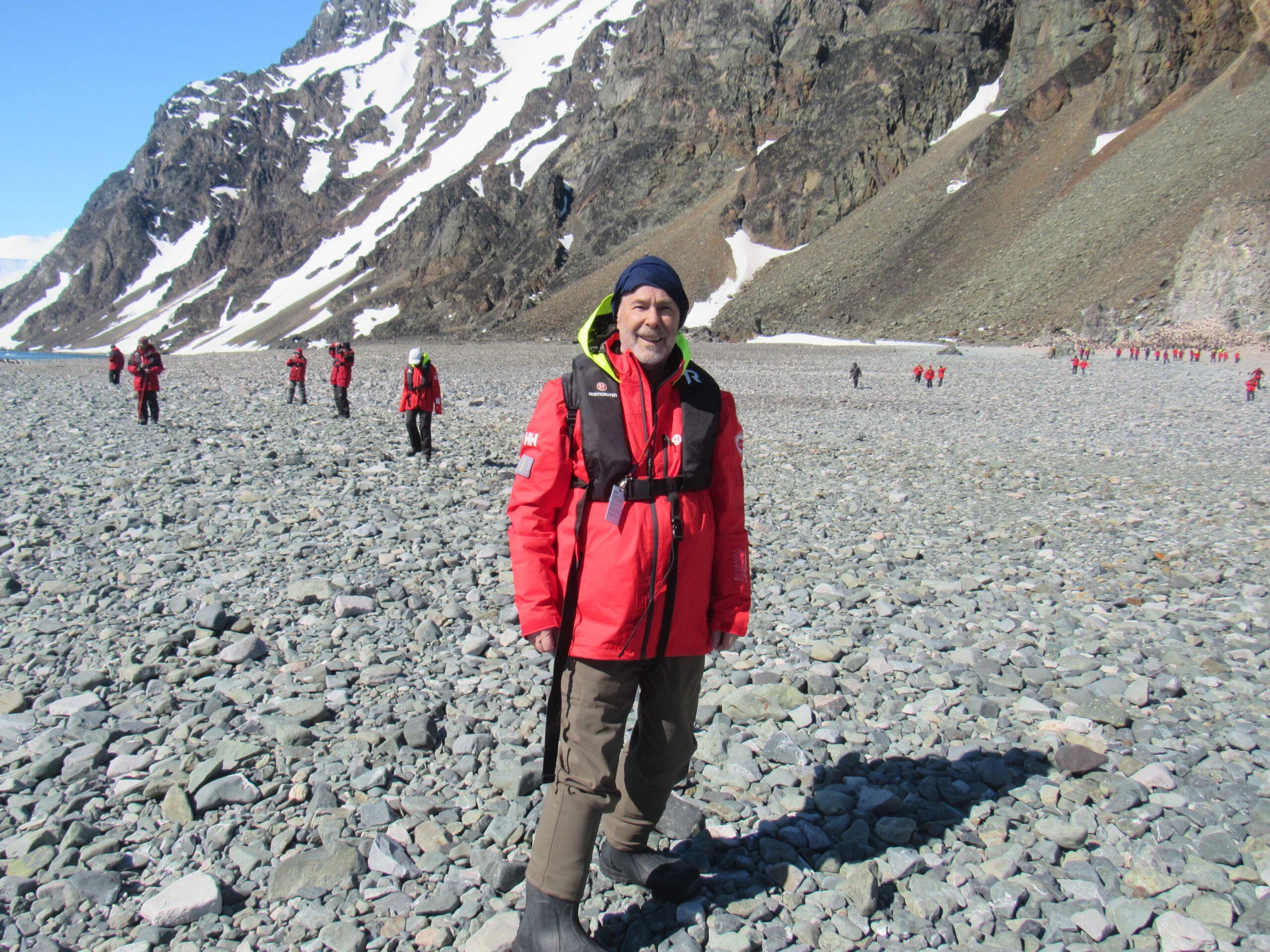
Yep, it’s me.
While at Bongrain Point, I managed to shoot a few videos, and here they are.
It was late afternoon by the time everyone had gone ashore and then returned to the ship, and the expedition crew had removed all traces of their gear and our visit. It was the ship’s policy to make sure that every single one of the passengers had a chance to go ashore at every one of the landing sites. As you can imagine, with only 10 of us to a Zodiac, it took quite a while to accommodate all 385 of us. They asked us to not spend more than 30 minutes each ashore to make it all possible.
After dinner that evening, we sailed west out into Marguerite Bay. We certainly weren’t going to try to head north again through The Gullet, so instead we headed around the bottom of Adelaide Island and then out into the open ocean. We would make our way along the western side of the island and make our way north that way. It was a clear, sunny evening and we had unobstructed views of the island. The mountains lie mostly on the east side of the island, while to the west of them lies the Fuchs Ice Piedmont, a broad expanse of ice stretching over 100 km from northeast to southwest. I mean, just look at it in the next photo – it is vast! I never tired of looking at features like this. It is almost overwhelming to see so much ice, so thick, stretching all across the horizon.
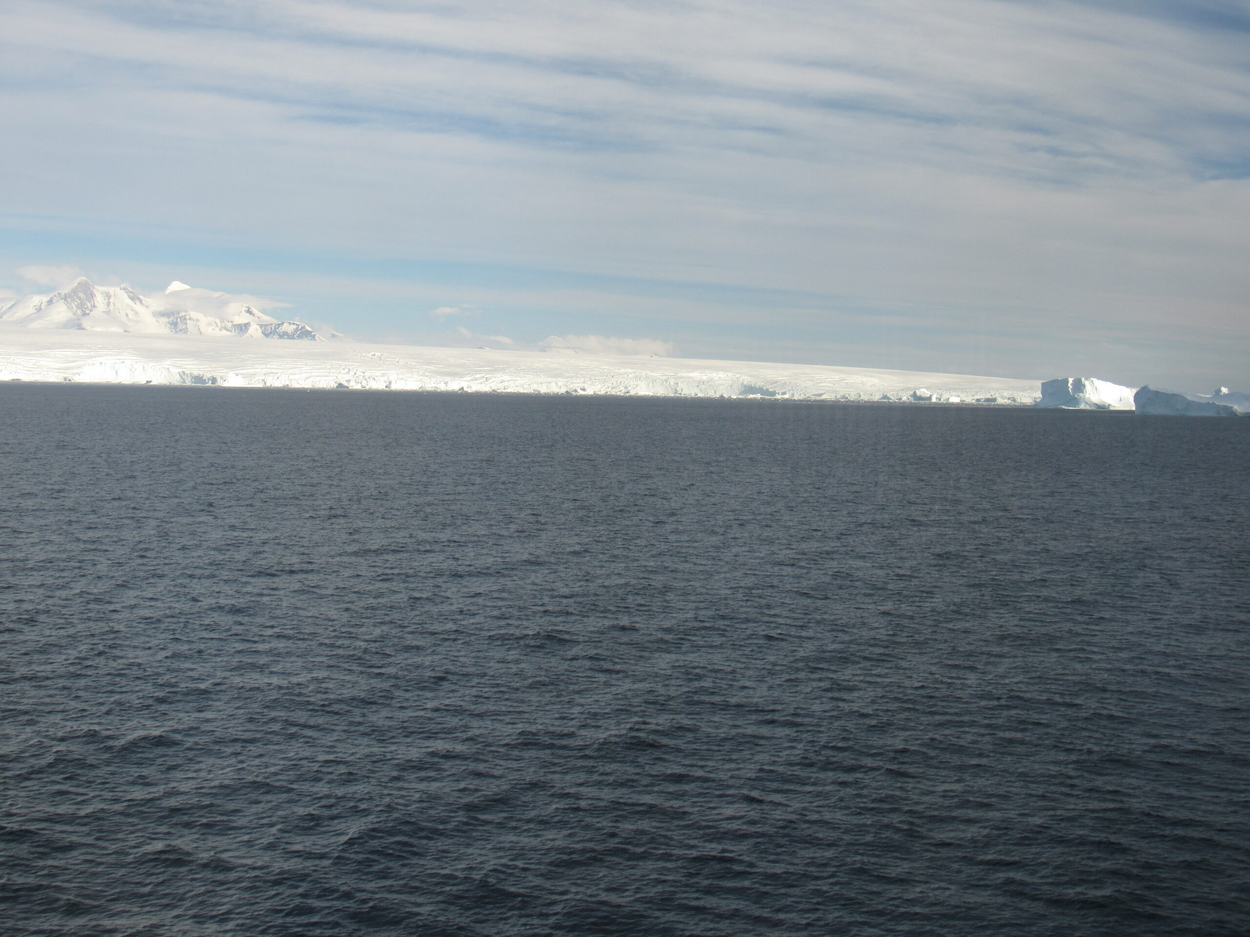
The west coast of Adelaide Island.
A view slightly farther north.
Here’s a view to the high point of the island, looking east to Mount Gaudry
The island has been one of the main centers of Antarctic mountaineering for over 50 years, both as a base from which to launch longer journeys, and as a climbing venue in its own right. Mount Gaudry has been climbed at least twice, although it has been attempted several times more. The first ascent was made during the 1963-1964 season, by Royal Marines from HMS Protector. T.J.Wills, T. McAuliffe and J. R. Green reached the summit in reportedly appalling weather conditions. They had unsuccessfully attempted the northwest ridge the previous February. On October 1st, 1997, climbing in winter conditions, Simon Abrahams and Mike Austin approached from around the western side of Gaudry. They reached a col to the south, then ascended the southeast ridge, moving on to the south face before reaching the top. An earlier attempt in June of 1970 was halted at 5,085 feet by an avalanche. Another attempt in April of 1986 via the northwest ridge also failed. At 7,595′ in elevation, Mount Gaudry is no slouch, especially when you consider that you’ll start your climb at sea level. The peak is normally approached from the eastern shore of the island though, from Ryder Bay, the shortest approach.
It is 15 miles across the ice to reach Mount Gaudry from this side.
That evening, we passed this iceberg – amazing, huh?
What a beauty!
Antarctica is a climber’s paradise, for sure. So many mountains, so many of them still unclimbed. It’s an expensive proposition to climb there, though, considering the logistics of access and weather.
Well, it had been another incredible day in Antarctica, a day of perfect weather and stunning scenery. I couldn’t wait to see what tomorrow would bring.
Stay tuned for Chapter 7, the next installment of our story.