Please be sure to read Chapters 1-6 of this story before embarking on this one.
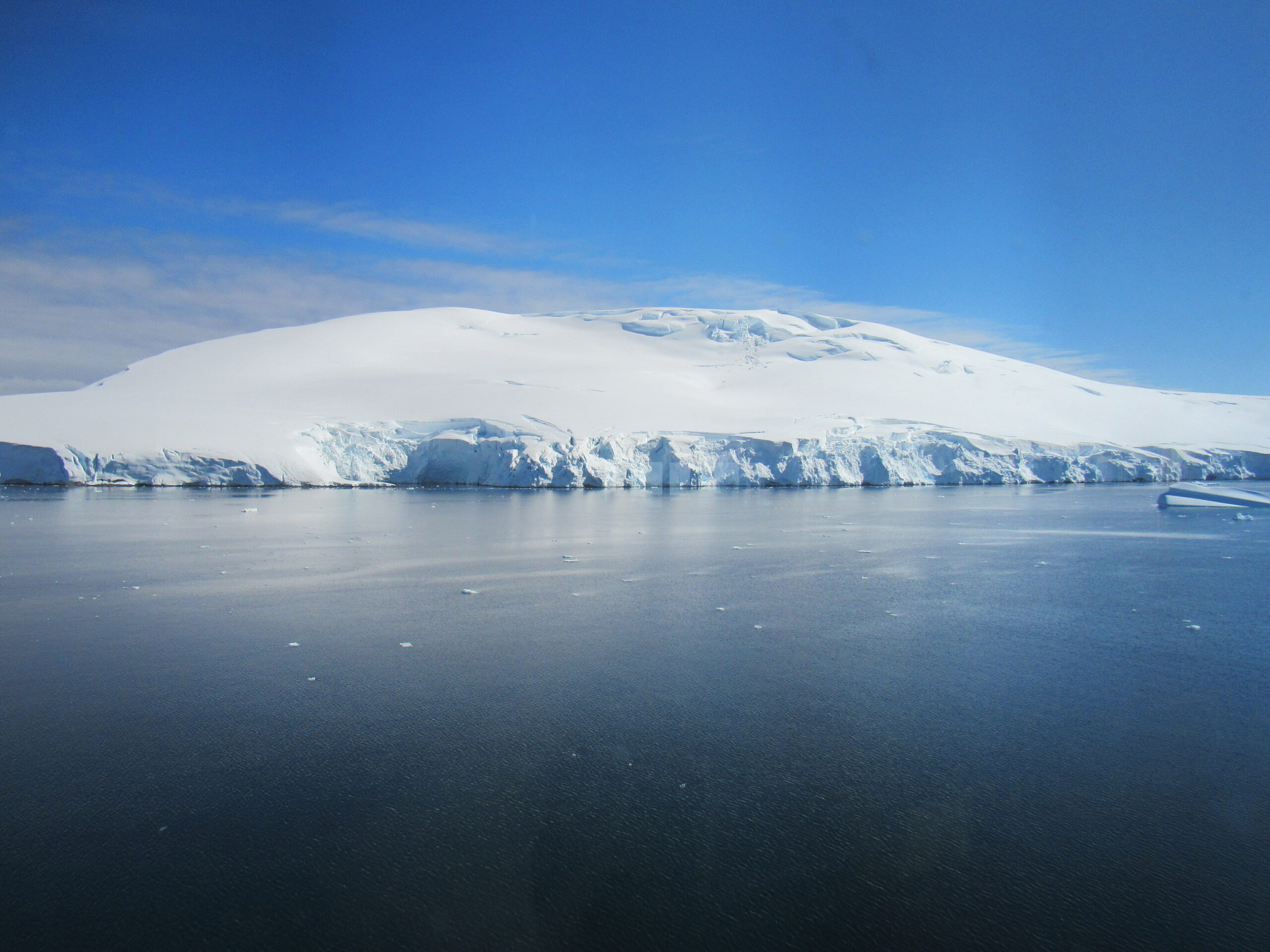
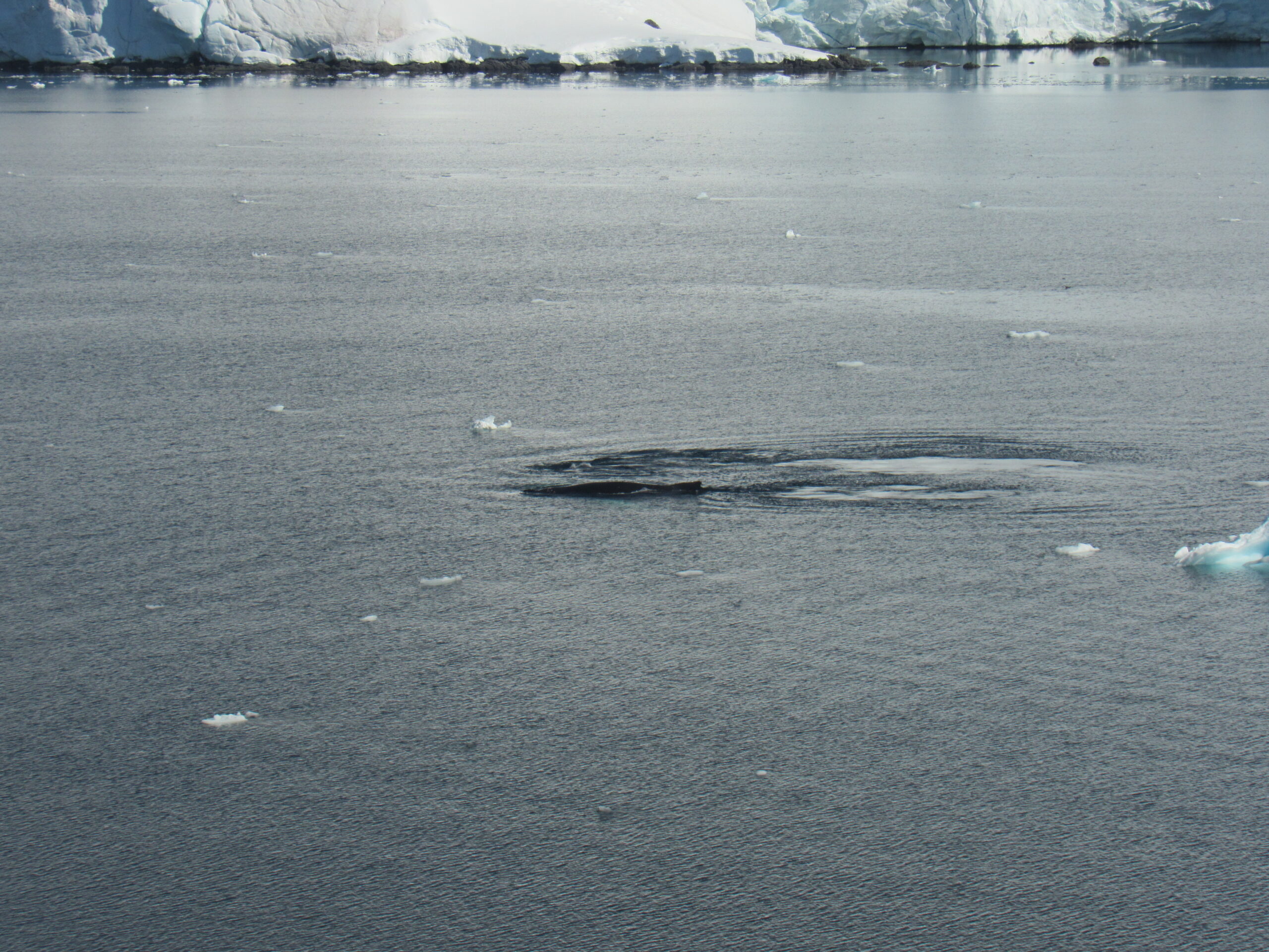
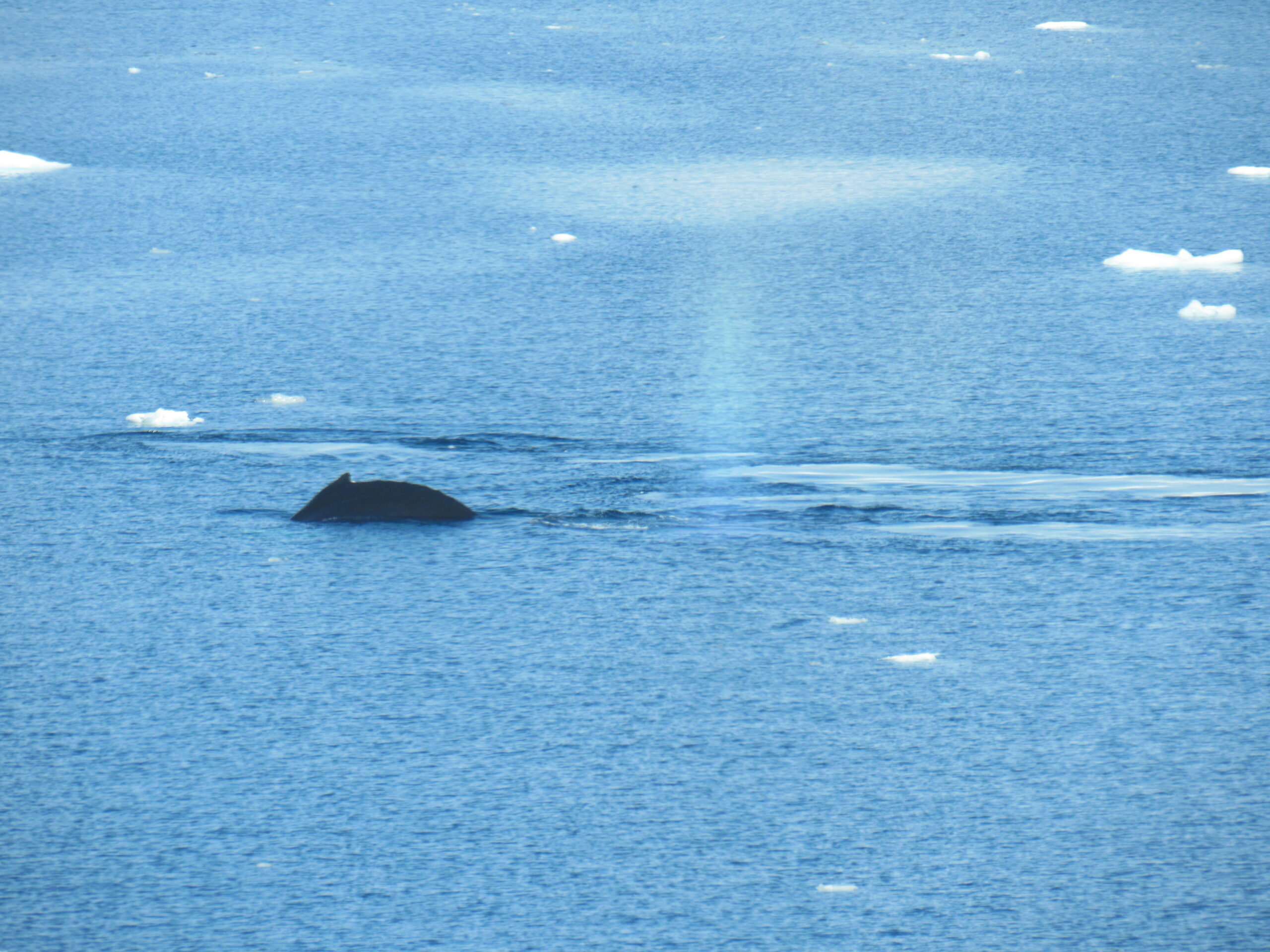
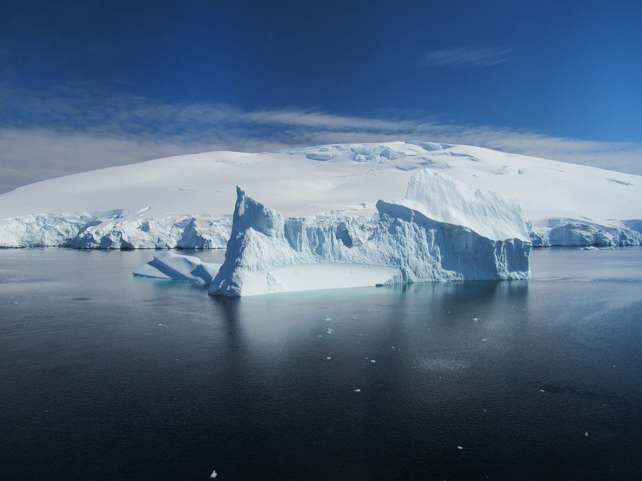
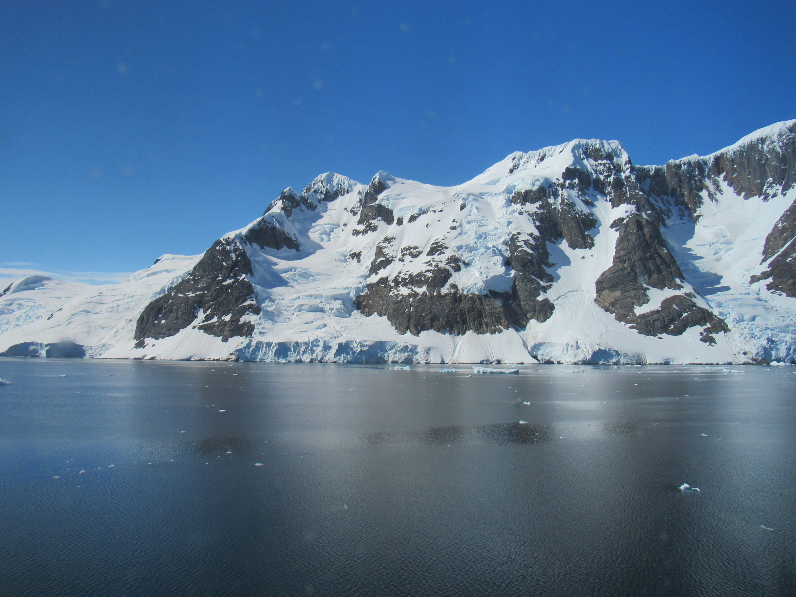
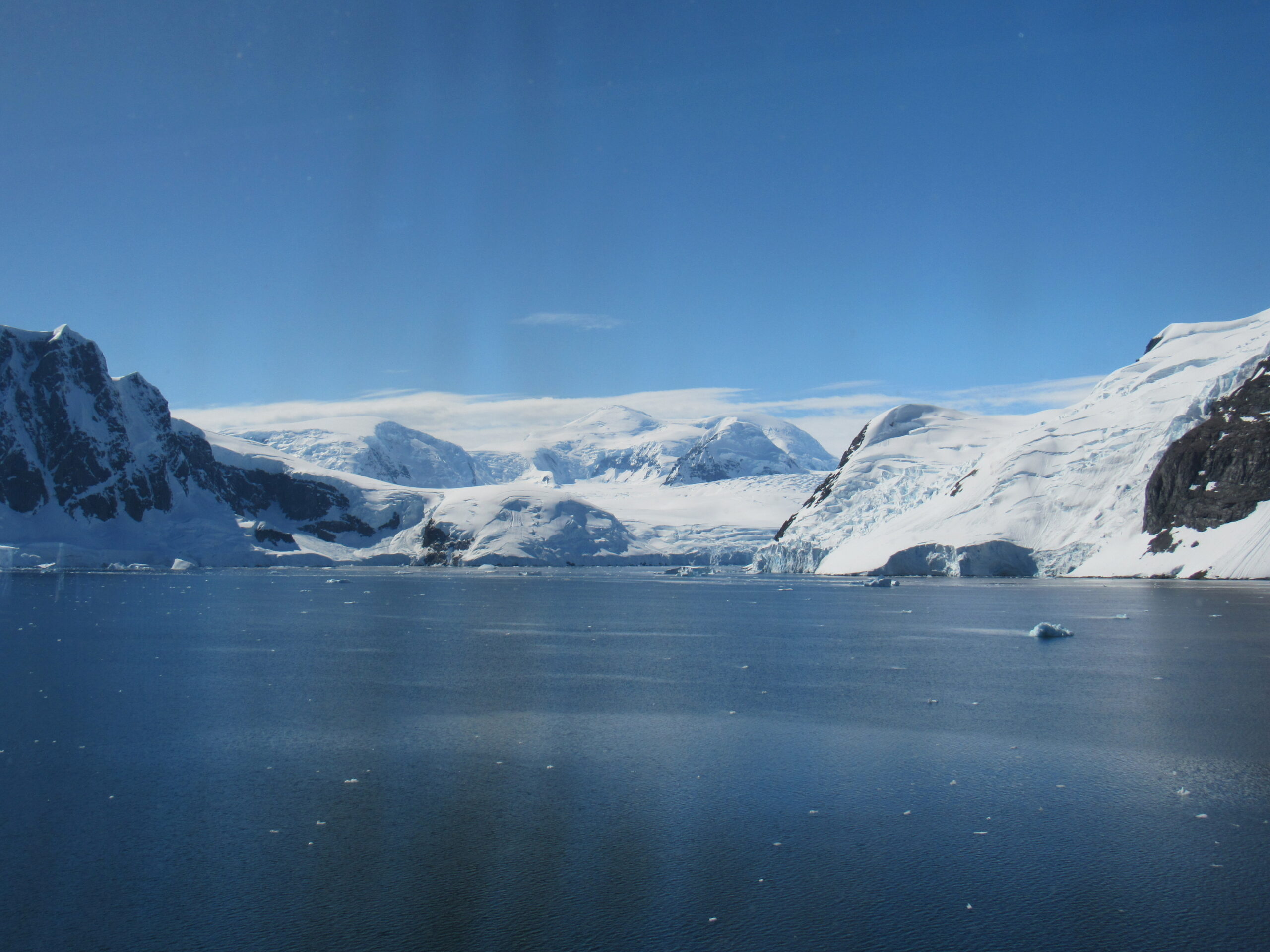
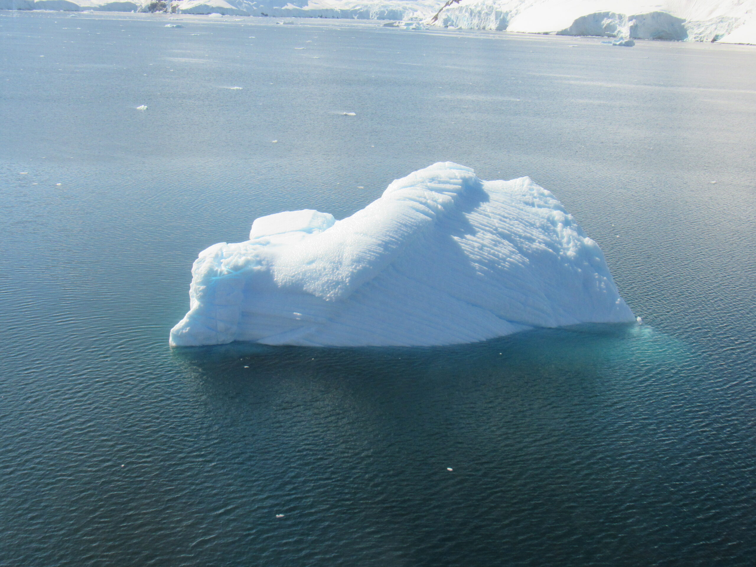
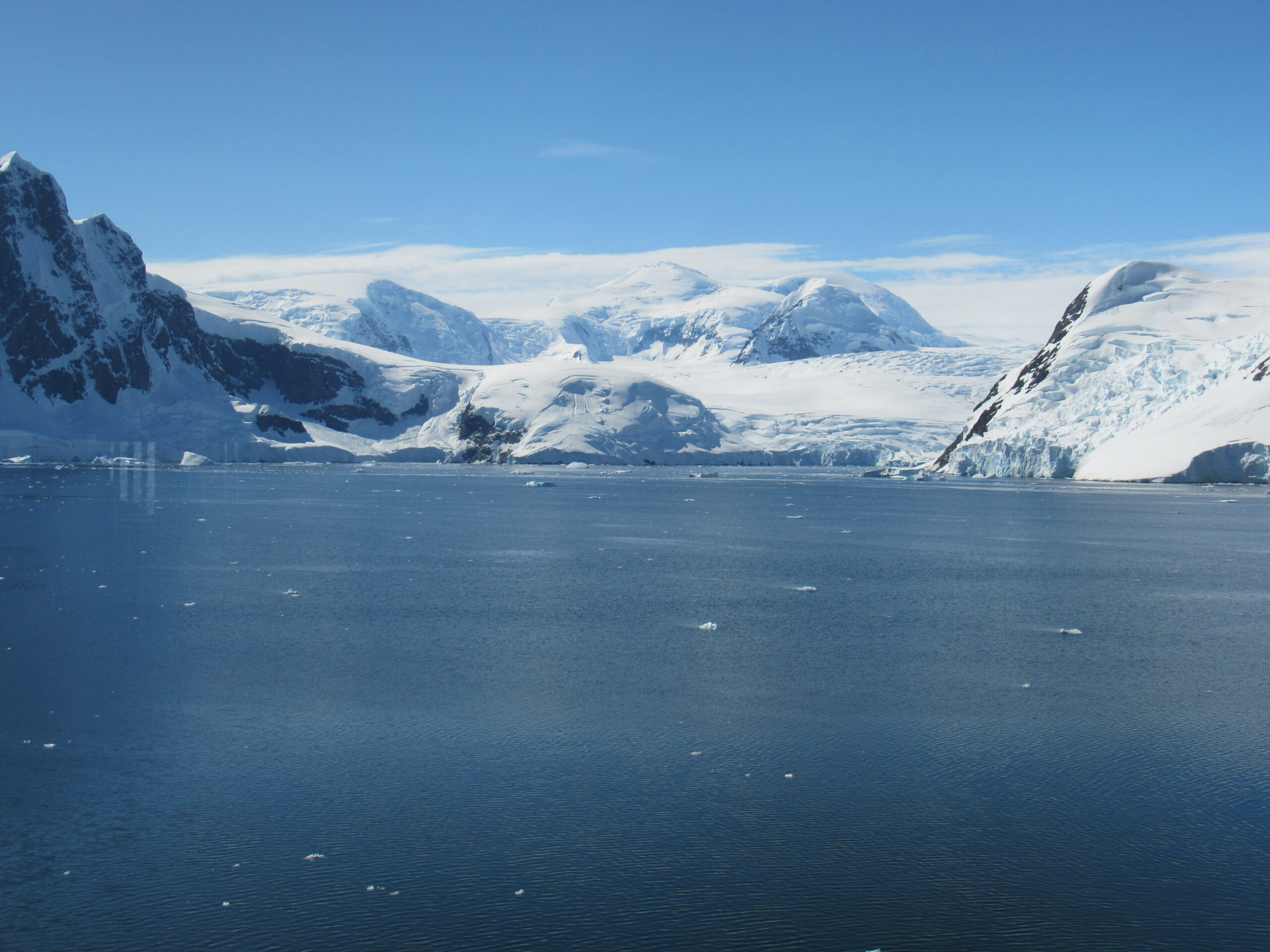
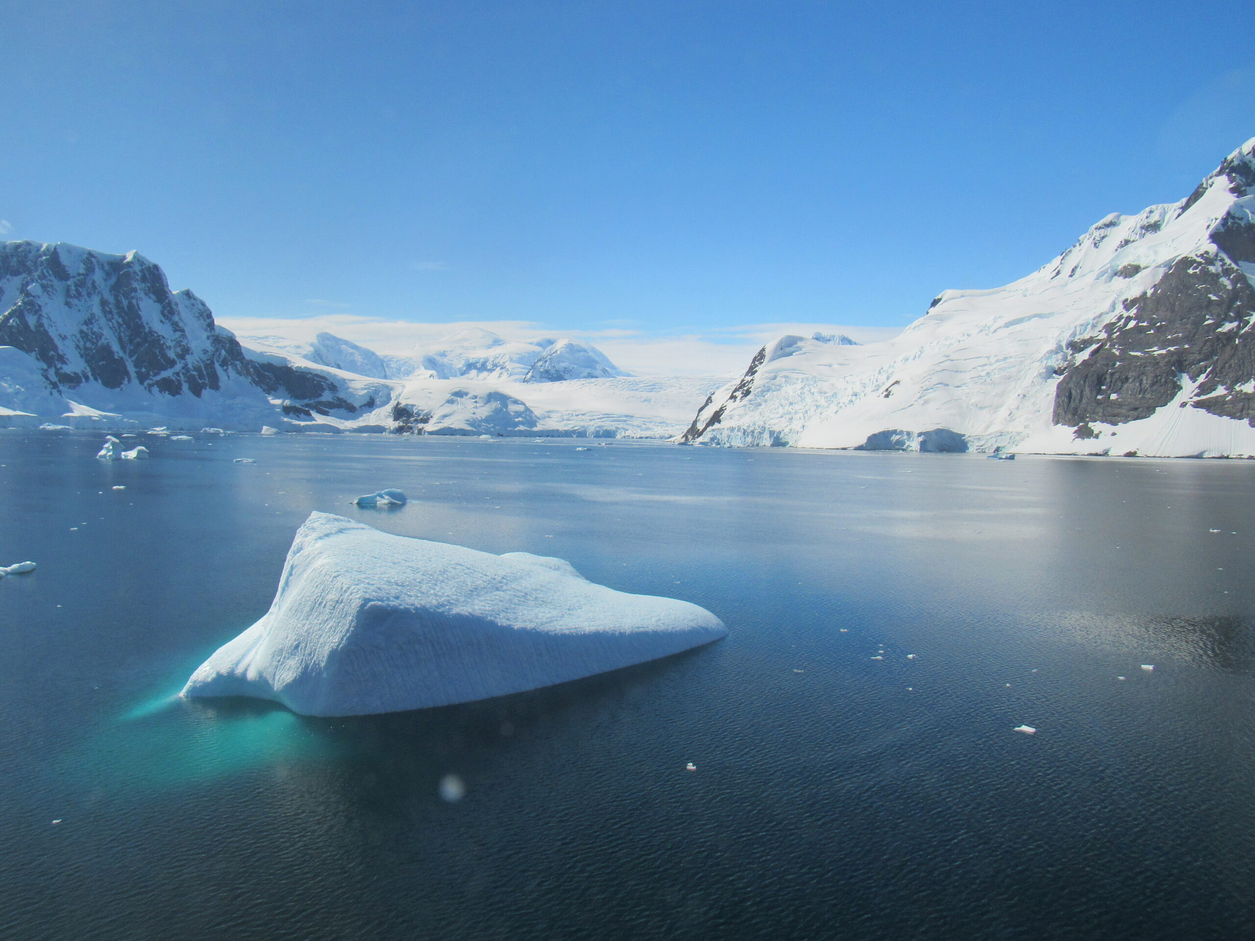
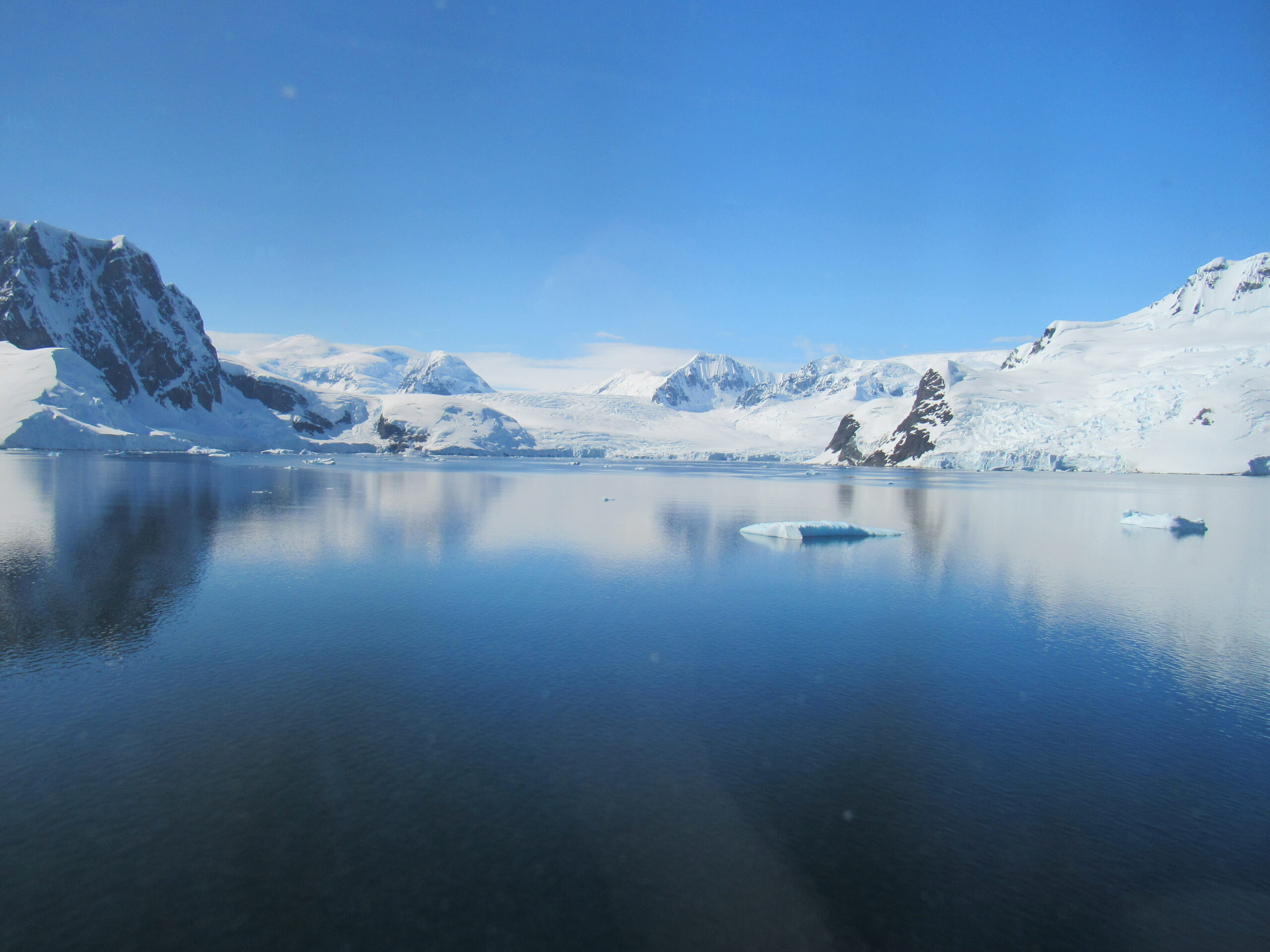
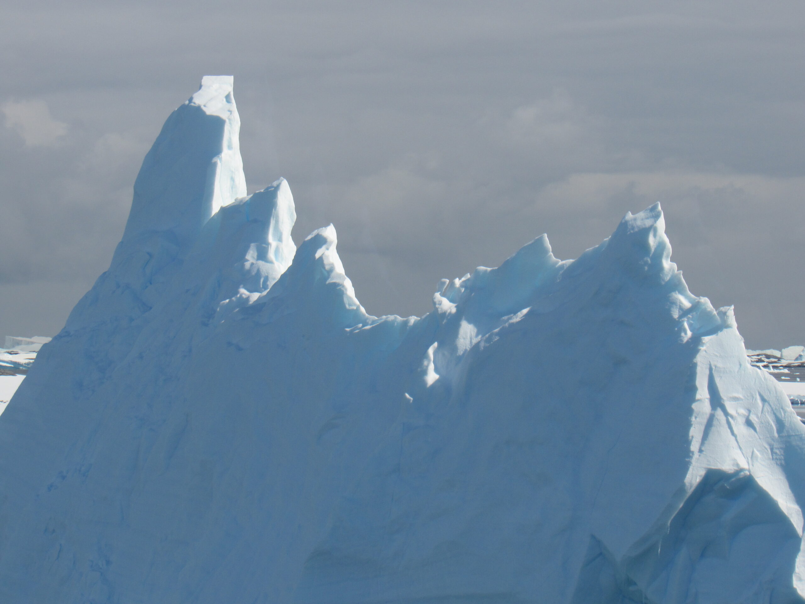
During the night, at around 1:00 AM, we crossed the Antarctic Circle as we headed north. We had spent a total of 4 days and 15 hours below the circle, more than anyone could expect on an Antarctic cruise, and I was as pleased as could be with what we had seen and done. After a 9-hour sleep, I awoke to another gloriously-sunny day, and we had arrived at our next destination. It is said that you have a 20% chance of good weather in Antarctica, so when we had a solid four days in a row of sunshine, the passengers and crew were ecstatic. Today we were heading to a place called Pléneau Island. On our way there, I took these pictures.
Pléneau Island (65º 06′ south 64º 03′ west) is small, only 0.8 nautical miles (1.5 km) long, lying just northeast of Hovgaard Island in the Wilhelm Archipelago. It was charted as a peninsula of Hovgaard Island by the French Antarctic Expedition (1903–05), under J. B. Charcot, who named its northeast point for Paul Pléneau, the photographer of the expedition. The feature was first shown to be an island on an Argentine government chart in 1957.
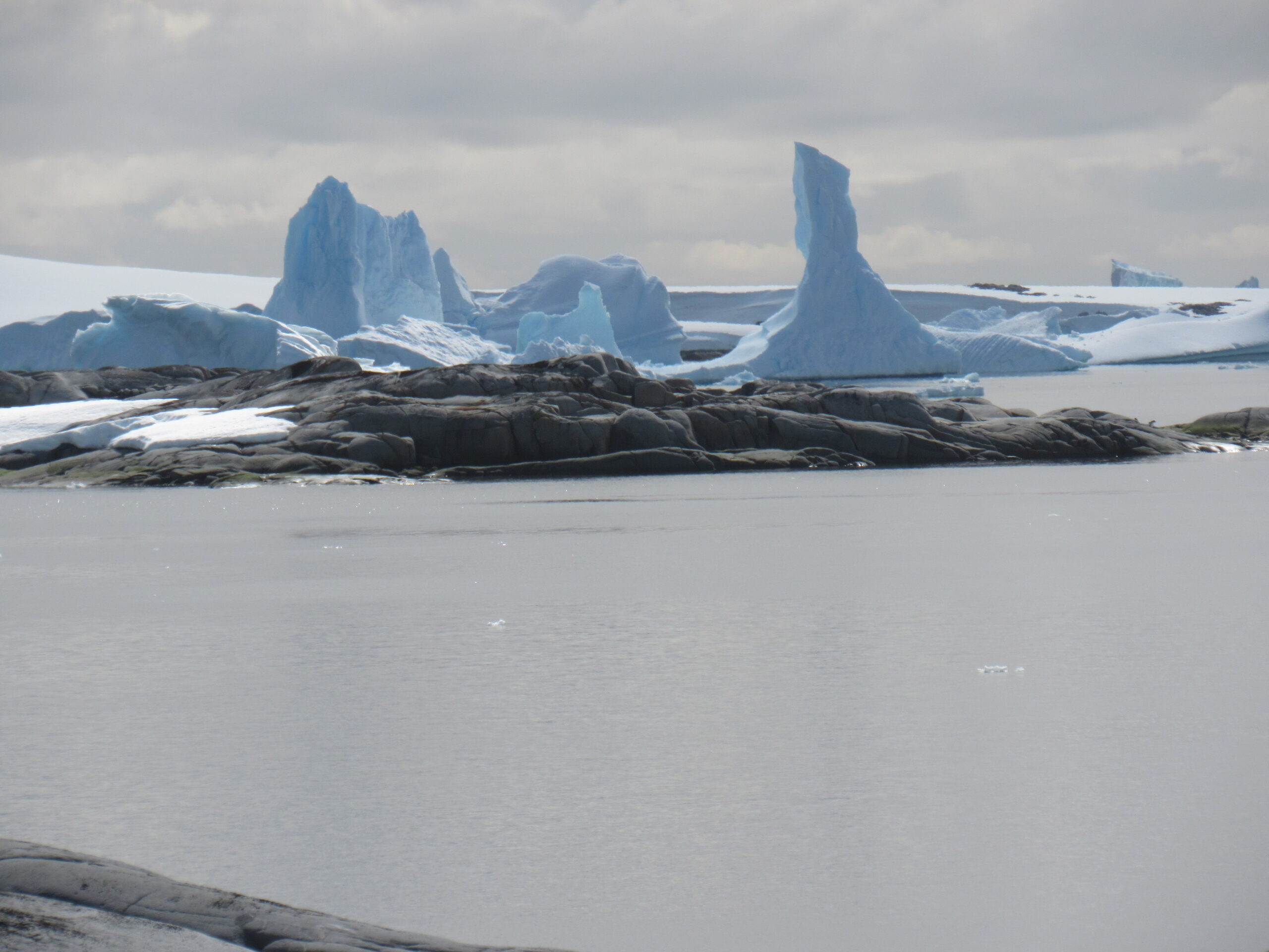
Pléneau Island is one of the less-visited Antarctic visitor sites but is well worth it. It’s a beautiful location that overlooks what’s known as an “iceberg graveyard”, with a Zodiac cruise often favored over a landing. Whether viewed from the island itself or from a Zodiac, there are always beautiful icebergs to photograph here. The permanent ice-cap at the top of the island looks stunning and it’s riddled with crevasses. From the cobbled beach on the eastern coast, smooth rock terraces slope gently upwards towards the ice-cap, which covers the western two-thirds of the island. The northern end of the island hosts terns, a breeding colony of Antarctic Shags, and plenty of penguins and seals among the icebergs.
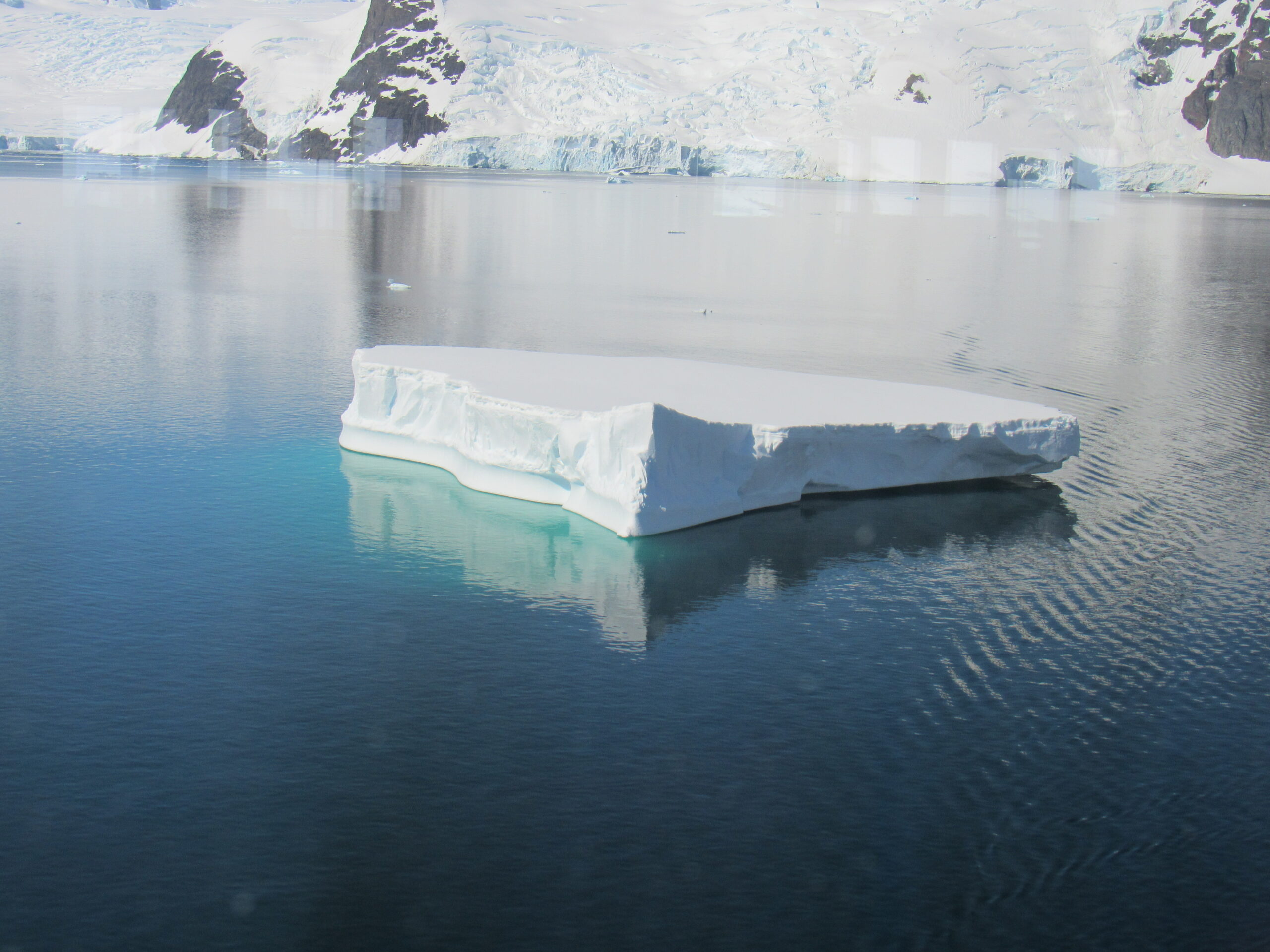
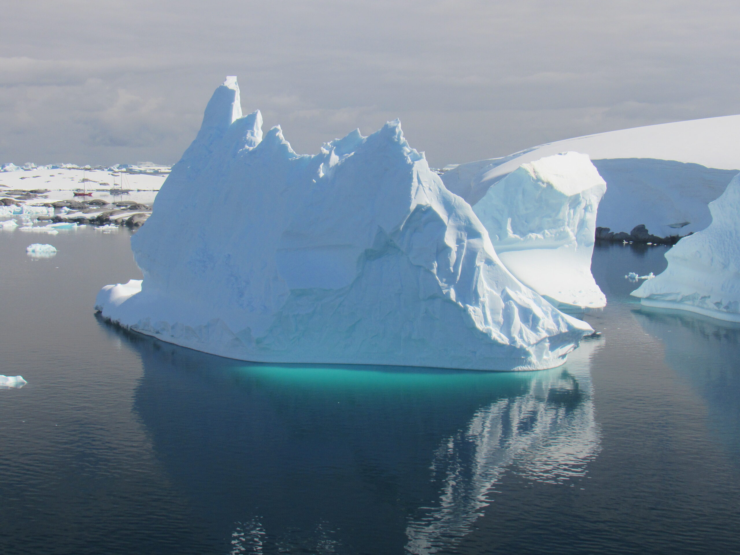
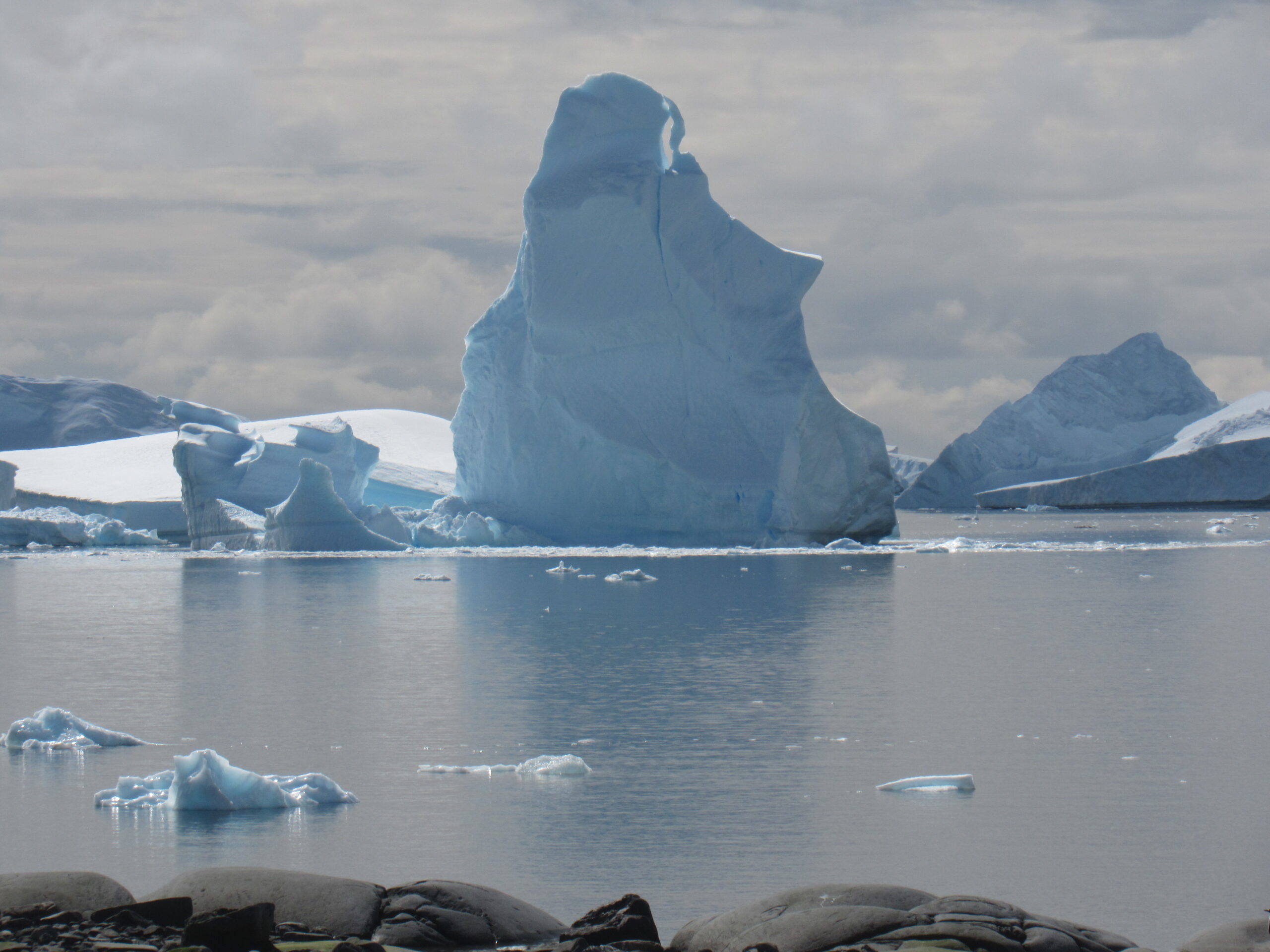
Many ships choose to anchor or drift just to the north of Pléneau Island, and to the western side of Booth Island. The reason for this is to do one of the most amazing Zodiac cruises in the whole of Antarctica. Huge icebergs drift up the outside of the peninsula and then get stuck and caught on shallow banks and rocky ridges on the seabed to the west of Booth Island. Icebergs of all shapes and sizes move around, bump together, and get stuck in iceberg ‘traffic jams’ in what is fondly known as the iceberg graveyard.
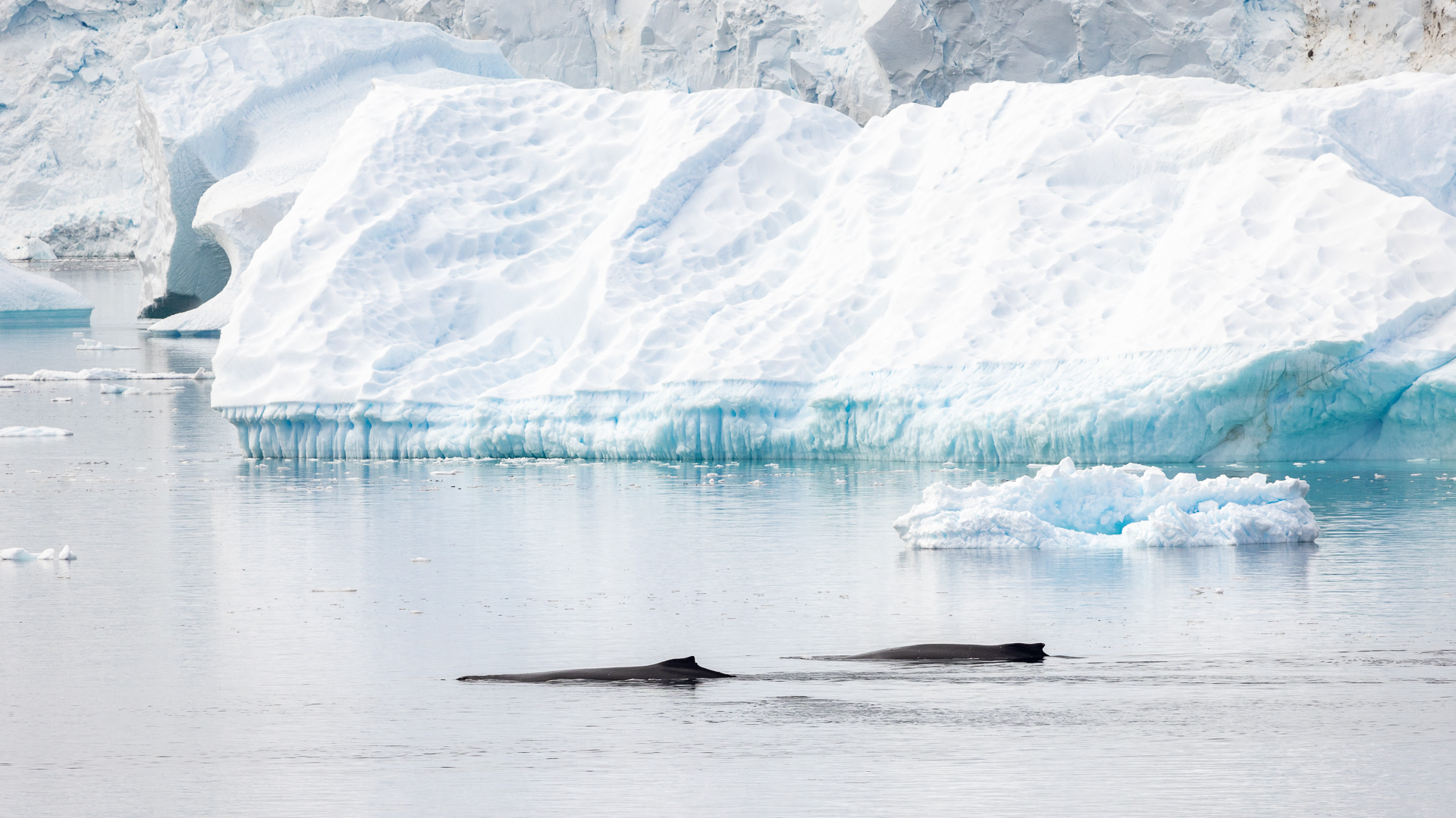
As well as the stunning scenery with the icebergs and the backdrop of Booth Island, there is plenty of wildlife. There is a chance to find seals resting on ice floes with countless Crabeater Seals and some massive Leopard Seals, Antarctic Terns resting on icebergs, possibly Arctic Terns, snow petrels feeding amongst the ice floes, penguins in the sea and on ice (mainly Gentoo penguins but the chance for other species). Confirmed breeders also include the blue-eyed shag, kelp gull and South Polar skua. The southern elephant seal and Weddell seal regularly haul out, and leopard seals can be seen. There is a chance to observe Antarctic Minke Whales and Humpback Whales up close, and even Orca. There are some deeper channels and the deep-diving and elusive Arnoux’s Beaked Whale has even been seen.
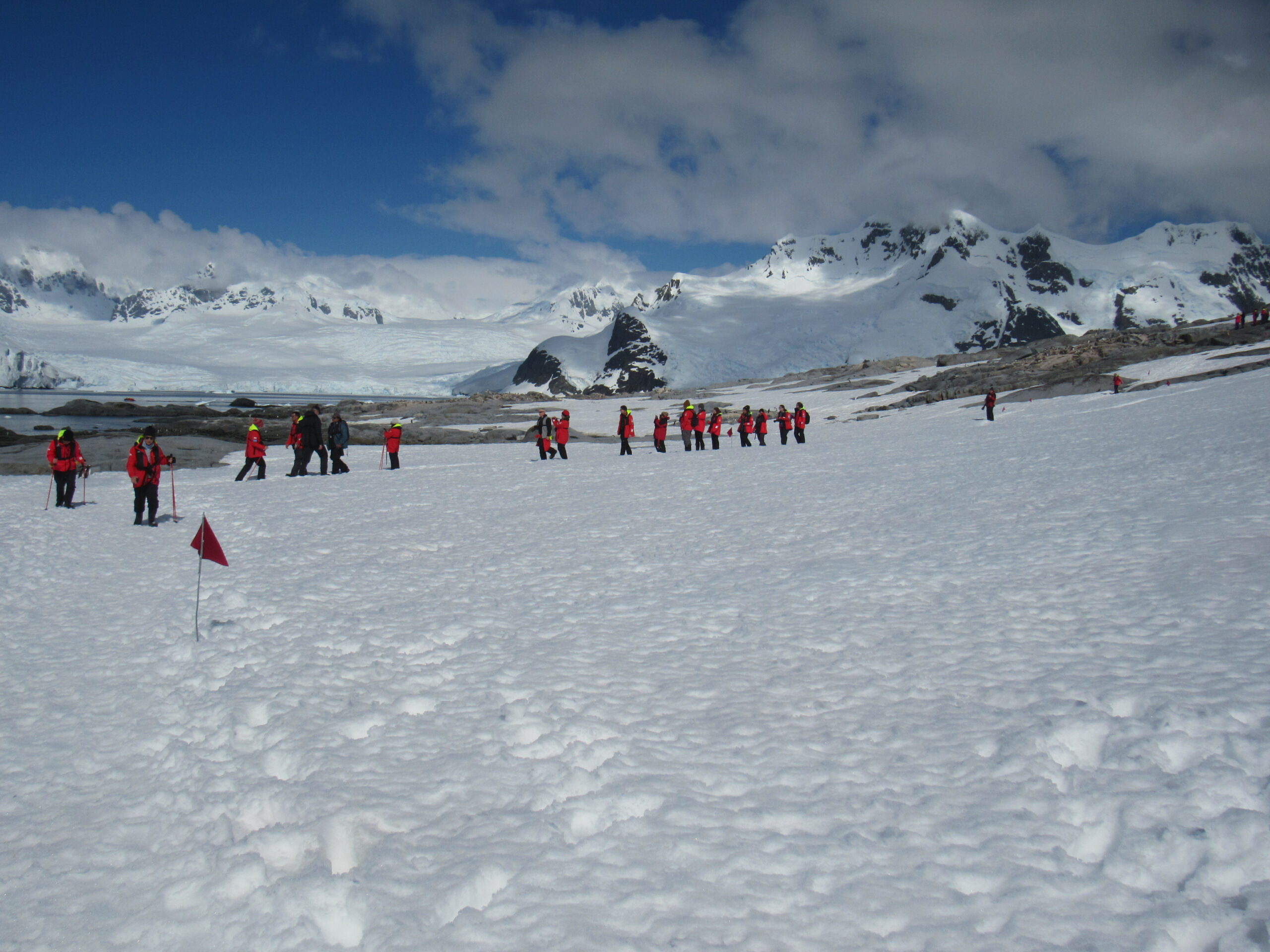
There are strict guidelines in place. The maximum number of visitors at any time, exclusive of expedition guides and leaders, is 100. The maximum number of visitors per guide is 20. No visitors are allowed ashore between 22:00 hours and 04:00 hours (local time), except for those engaged in organized overnight stays. This is in order to establish a resting period for the wildlife.
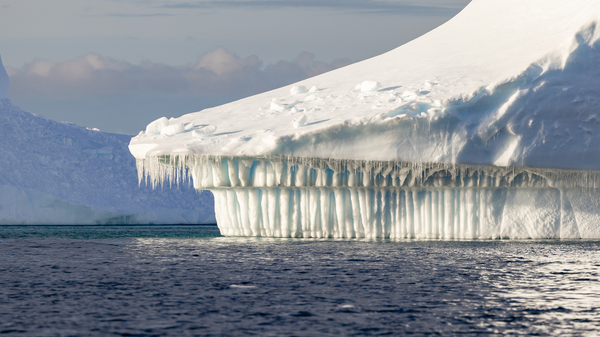
It’s not possible to visit the Antarctic and not be impressed by the icebergs. Before this trip, the only time I had ever seen icebergs were ones floating in lakes in Patagonia, so seeing thousands of them on this trip everywhere we went was an eye-opening experience.
I had to keep reminding myself that whenever I looked at an iceberg, I was only seeing the smallest part of it, that nearly all of it was under the water. Typically, about one-tenth of the volume of an iceberg is above water, which follows from Archimedes’s principle of buoyancy; the density of pure ice is about 920 kg/m³ (57 lb/cu ft), and that of seawater about 1,025 kg/m3 (64 lb/cu ft). The contour of the underwater portion can be difficult to judge by looking at the portion above the surface. This diagram gives a good idea of how much is below the water.

The largest icebergs recorded have been calved, or broken off, from the Ross Ice Shelf of Antarctica. Icebergs may reach a height of more than 100 meters (300 ft) above the sea surface and have mass ranging from about 100,000 tonnes up to more than 10 million tonnes. Icebergs or pieces of floating ice smaller than 5 meters above the sea surface are classified as “bergy bits”; smaller than 1 meter—”growlers”. The largest known iceberg in the North Atlantic was 168 metres (551 ft) above sea level, reported by the USCG icebreaker Eastwind in 1958, making it the height of a 55-story building. These icebergs originate from the glaciers of western Greenland.
An iceberg may flip, or capsize, as it melts and breaks apart, changing the center of gravity. Capsizing can occur shortly after calving when the iceberg is young and establishing balance. Icebergs are unpredictable and can capsize anytime and without warning. Large icebergs that break off from a glacier front and flip onto the glacier face can push the entire glacier backwards momentarily, producing ‘glacial earthquakes’ that generate as much energy as an atomic bomb.
Icebergs are generally white because they are covered in snow, but can be green, blue, yellow, black, striped, or even rainbow-colored. Seawater, algae and lack of air bubbles in the ice can create diverse colors. Sediment can create the dirty black coloration present in some icebergs.
The largest icebergs ever recorded were truly massive. It would have been an amazing experience to have flown over or sailed up to one of them. Iceberg B-15 calved from the Ross Ice Shelf in 2000 and initially had an area of 11,000 square kilometres (4,200 sq mi), which is the size of Rhode Island and Delaware combined. It broke apart in November 2002. The largest remaining piece of it, Iceberg B-15A, with an area of 3,000 square kilometres (1,200 sq mi), was still the largest iceberg on Earth until it ran aground and split into several pieces October 27, 2005, an event that was observed by seismographs both on the iceberg and across Antarctica. It has been hypothesized that this breakup may also have been abetted by ocean swell generated by an Alaskan storm 6 days earlier and 13,500 kilometres (8,400 mi) away. Here is a list of some of the largest ever recorded:
- 1987, Iceberg B-9, 5,390 km2 (2,080 sq mi)
- 1998, Iceberg A-38, about 6,900 km2 (2,700 sq mi)
- 1999, Iceberg B-17B,140 km2 (54 sq mi) – a shipping alert issued December 2009.
- 2000, Iceberg B-15 11,000 km2 (4,200 sq mi)
- 2002, Iceberg C-19, 5,500 km2 (2,100 sq mi)
- 2002, Iceberg B-22, 5,490 km2 (2,120 sq mi)
- 2003 broke off, Iceberg B-15A, 3,100 km2 (1,200 sq mi)
- 2006, Iceberg D-16, 310 km2 (120 sq mi)
- 2010, Ice sheet, 260 km2 (100 sq mi), broken off of Petermann Glacier in northern Greenland on August 5, 2010, considered to be the largest Arctic iceberg since 1962. About a month later, this iceberg split into two pieces upon crashing into Joe Island in the Nares Strait next to Greenland. In June 2011, large fragments of the Petermann Ice Islands were observed off the Labrador coast.
- 2014, Iceberg B-31, 615 km2 (237 sq mi)
- 2017, Iceberg A-68, (Larsen C ice shelf) 5,800 km2 (2,200 sq mi)
- 2018, Iceberg B-46, 225 km2 (87 sq mi)
- 2019, Iceberg D-28, 1,636 km2 (632 sq mi)
- 2021, Iceberg A-74 from the Brunt Ice Shelf, 1,270 km2 (490 sq mi)
- 2021, Iceberg A-76 from the Ronne Ice Shelf, 4,320 km2 (1,670 sq mi)
You’ll notice that these hugest icebergs broke off of ice shelves in Antarctica, with one exception. They were all tabular icebergs. As of this writing (April 28, 2024), Iceberg A-23A is floating north into what they call Iceberg Alley in the Southern Ocean. It is 1,500 square miles and estimated to weigh a trillion tons.
One of the most prominently known icebergs in recorded history is that which sank the Titanic on 15 April 1912. The catastrophe led to the establishment of an International Ice Patrol shortly after.
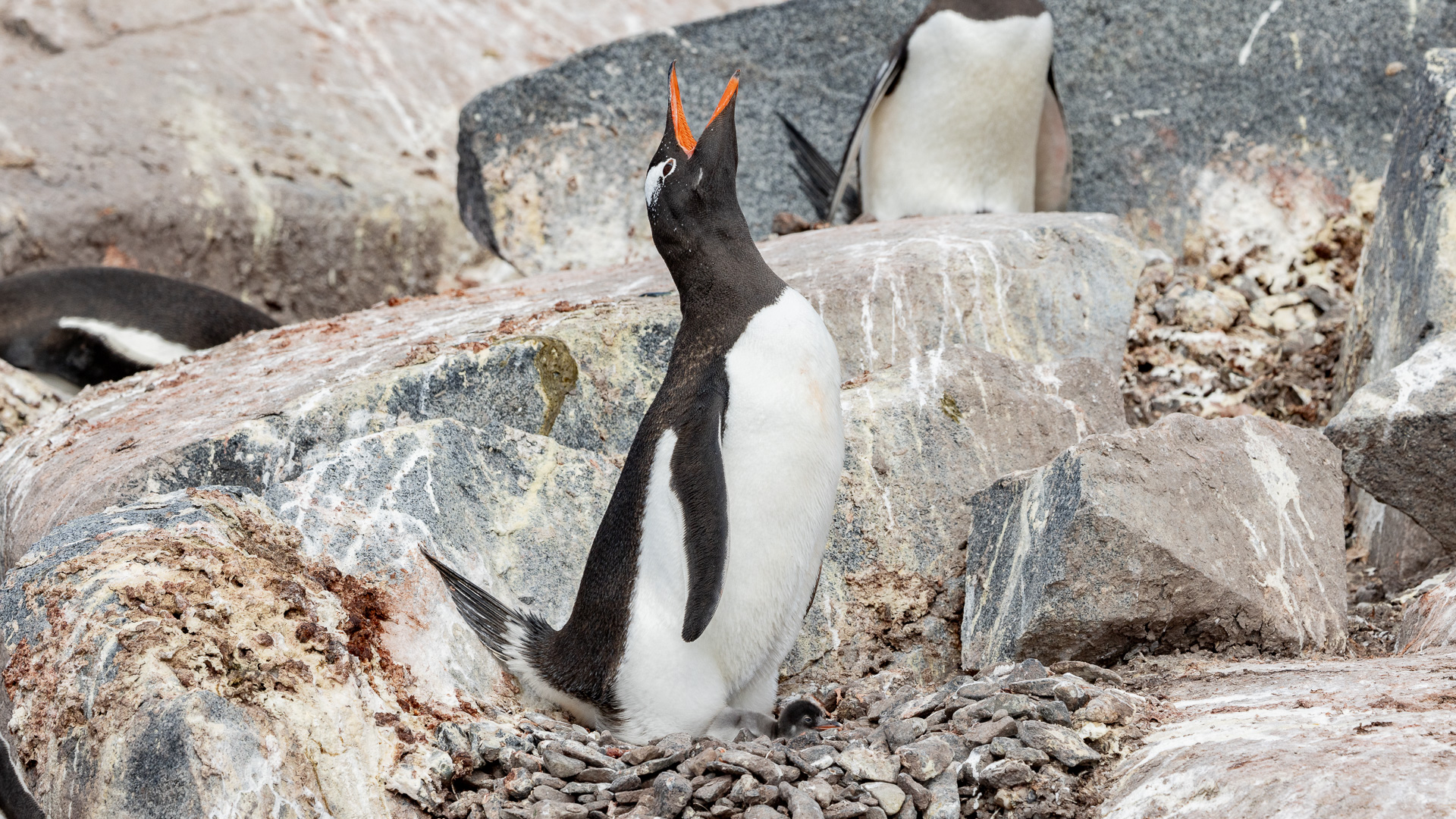
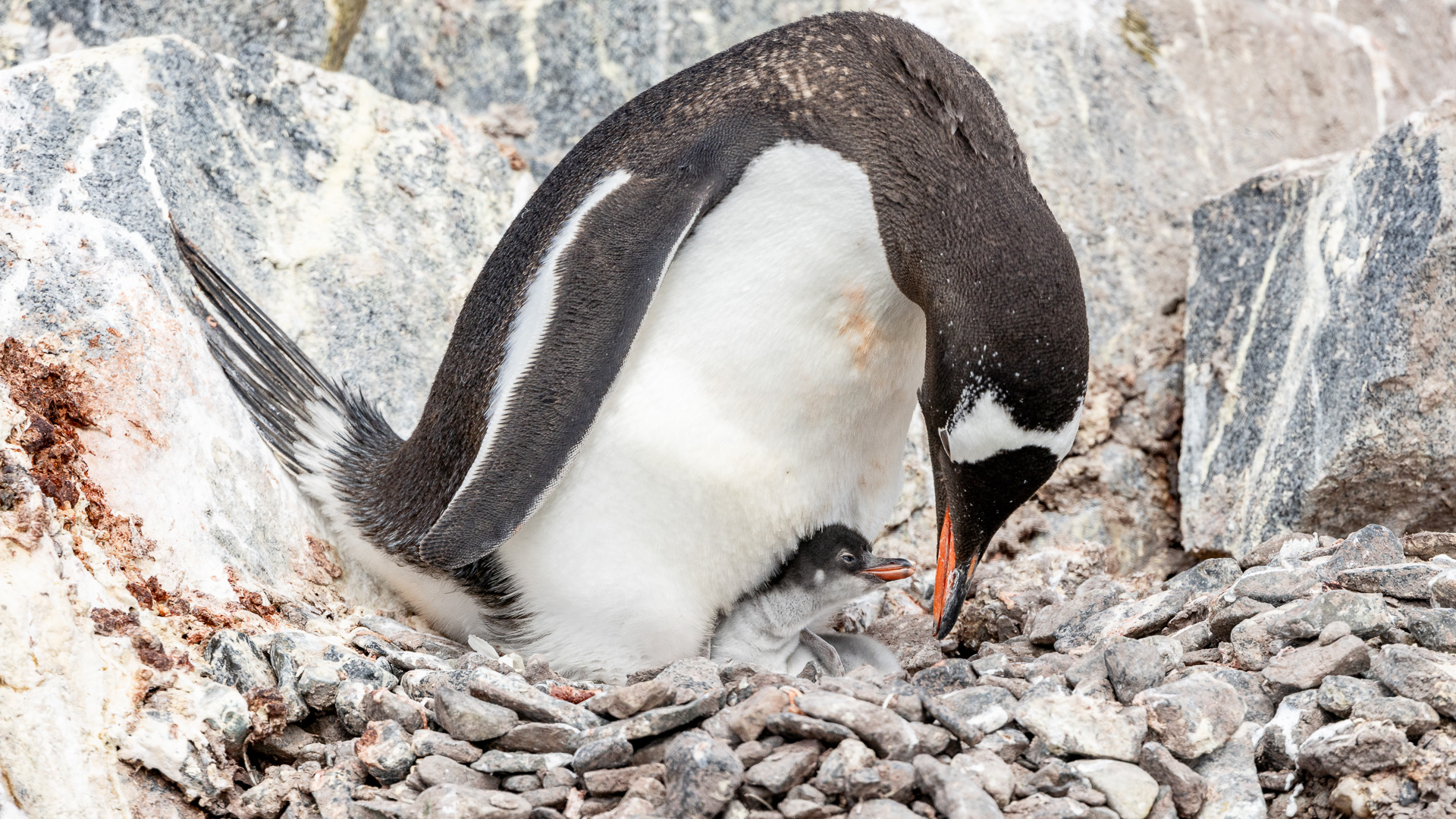
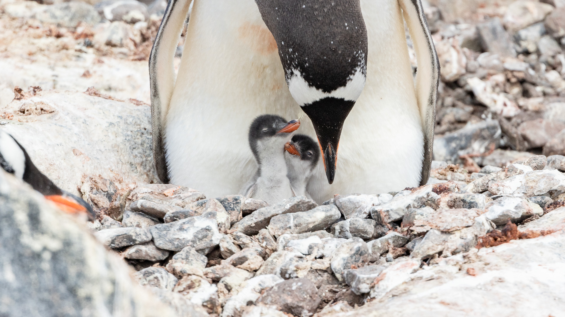
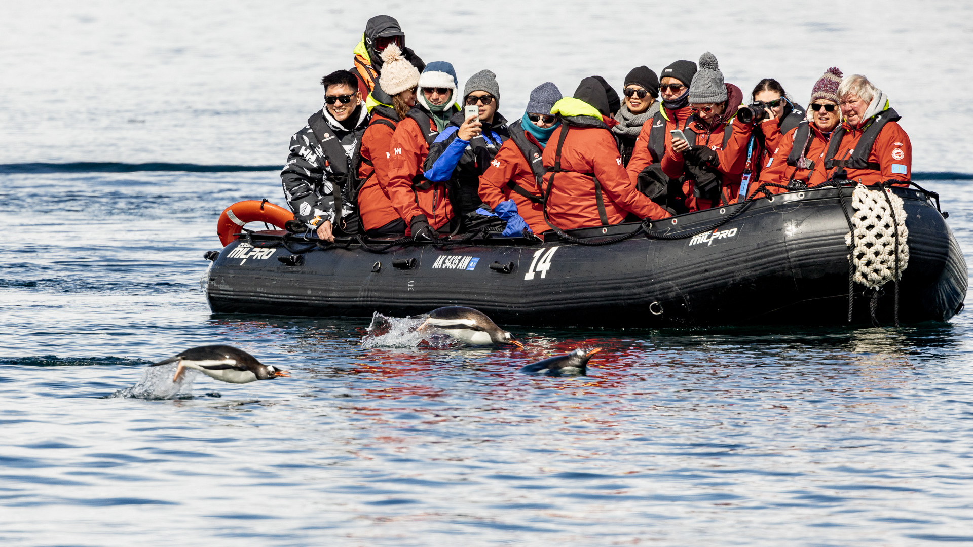
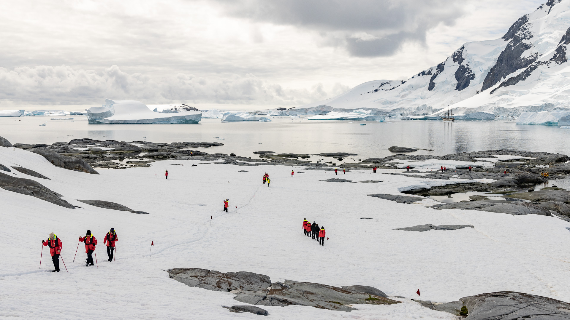
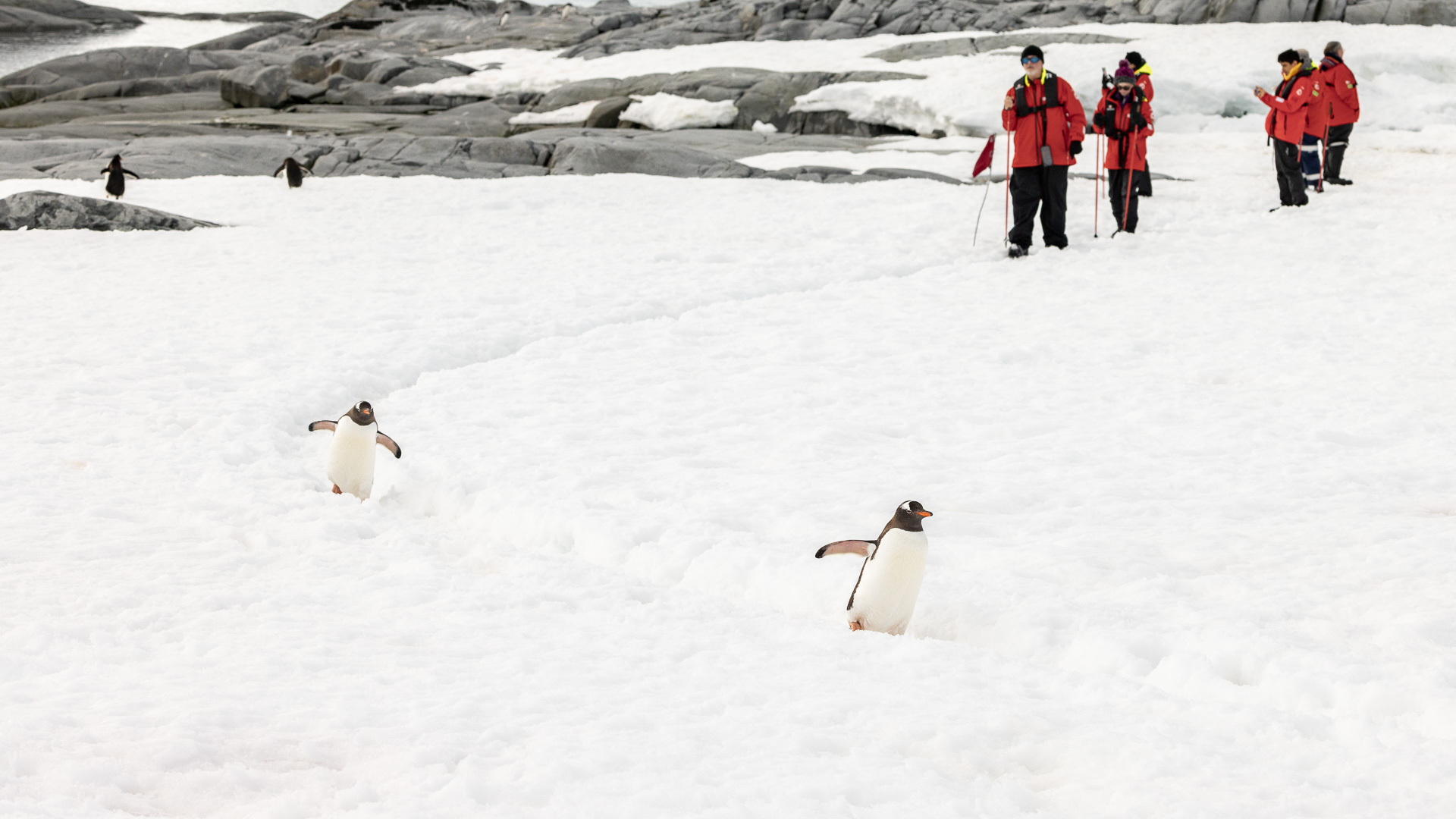
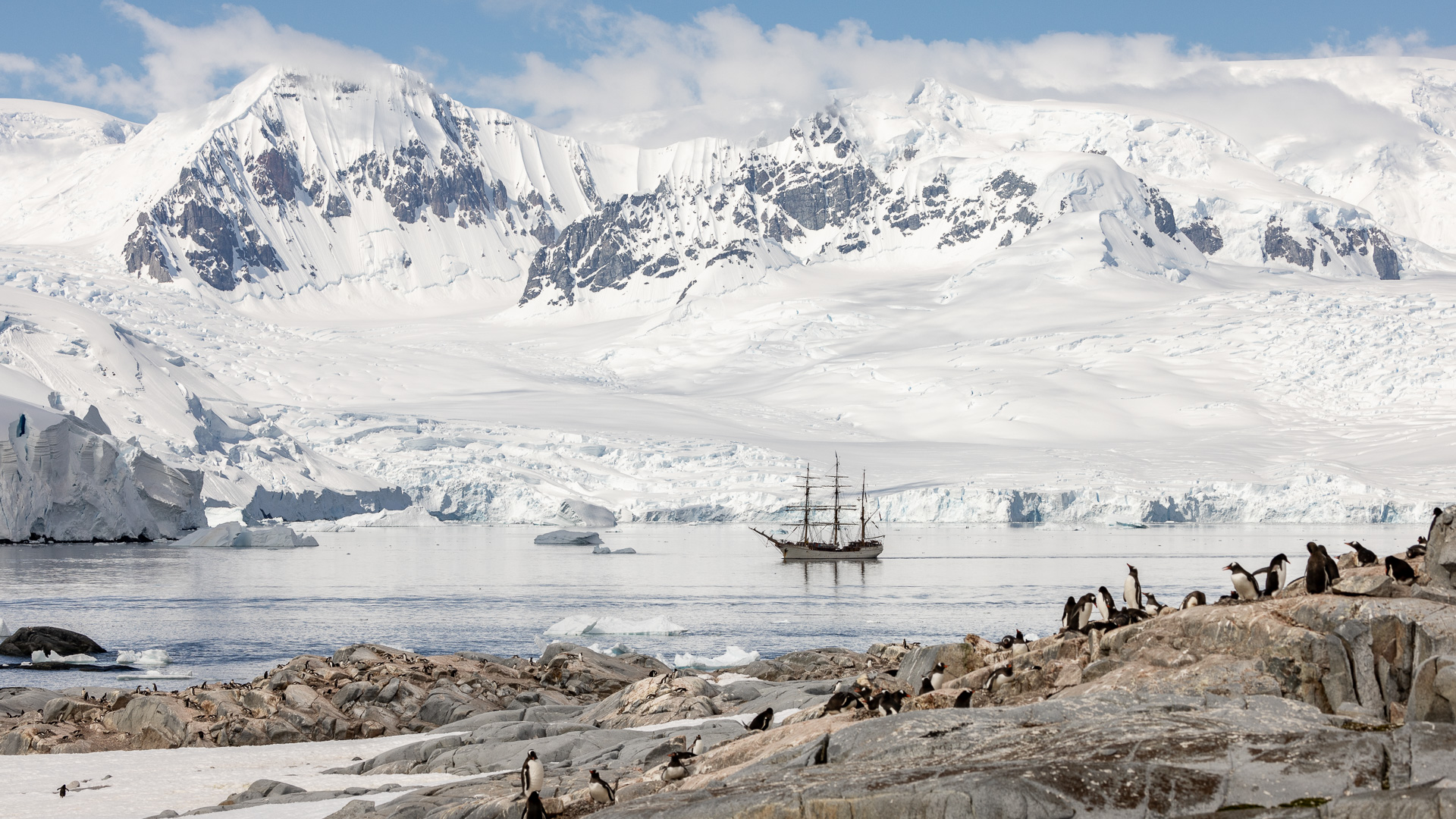
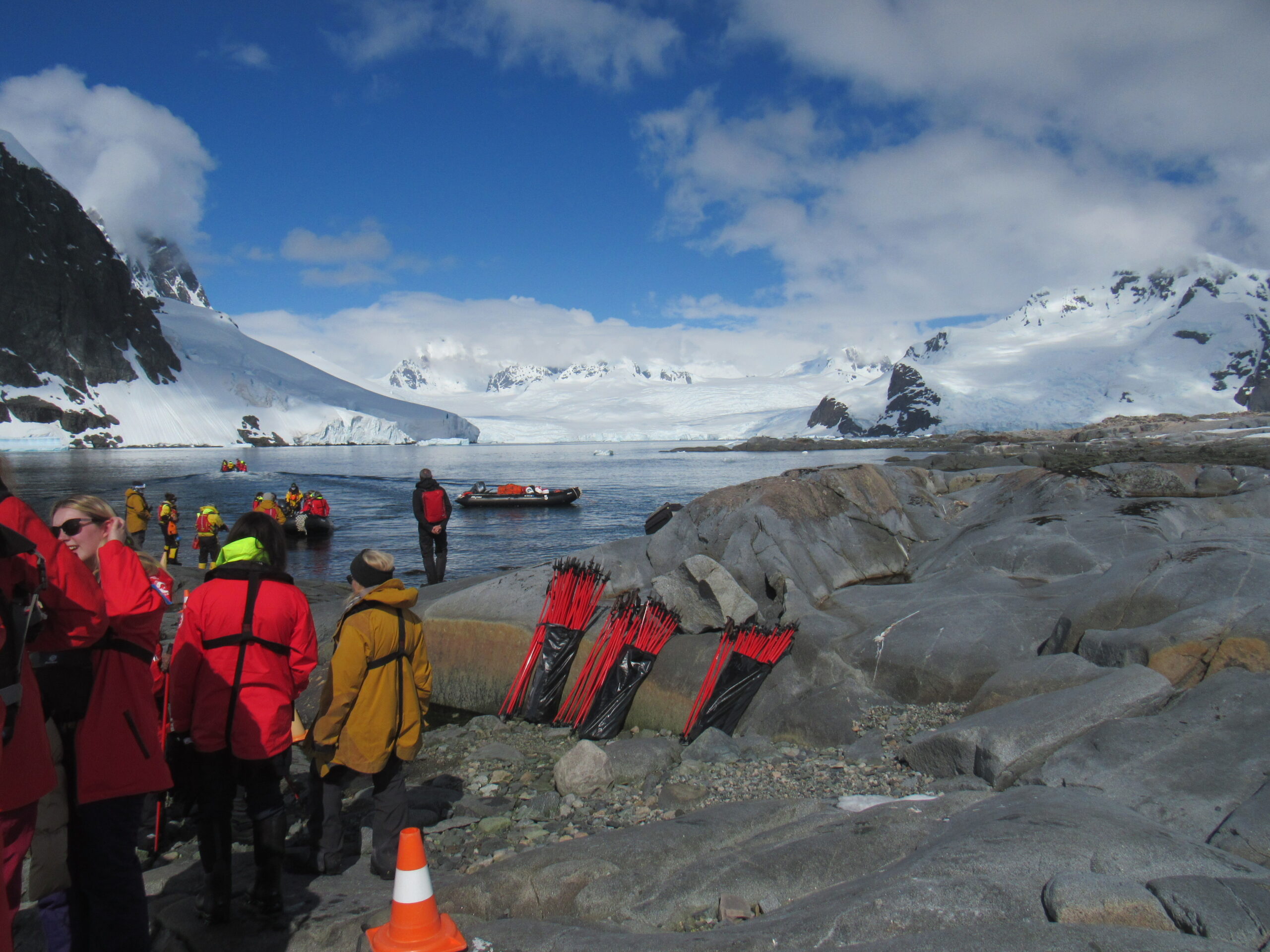
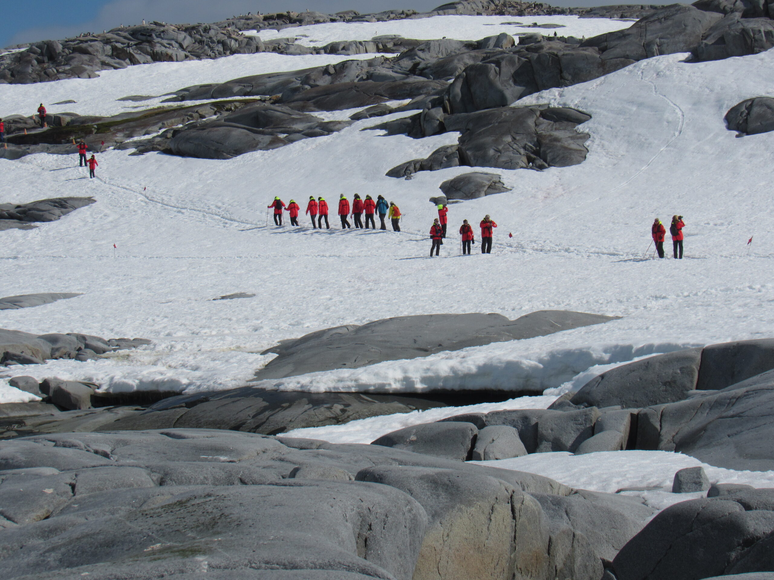
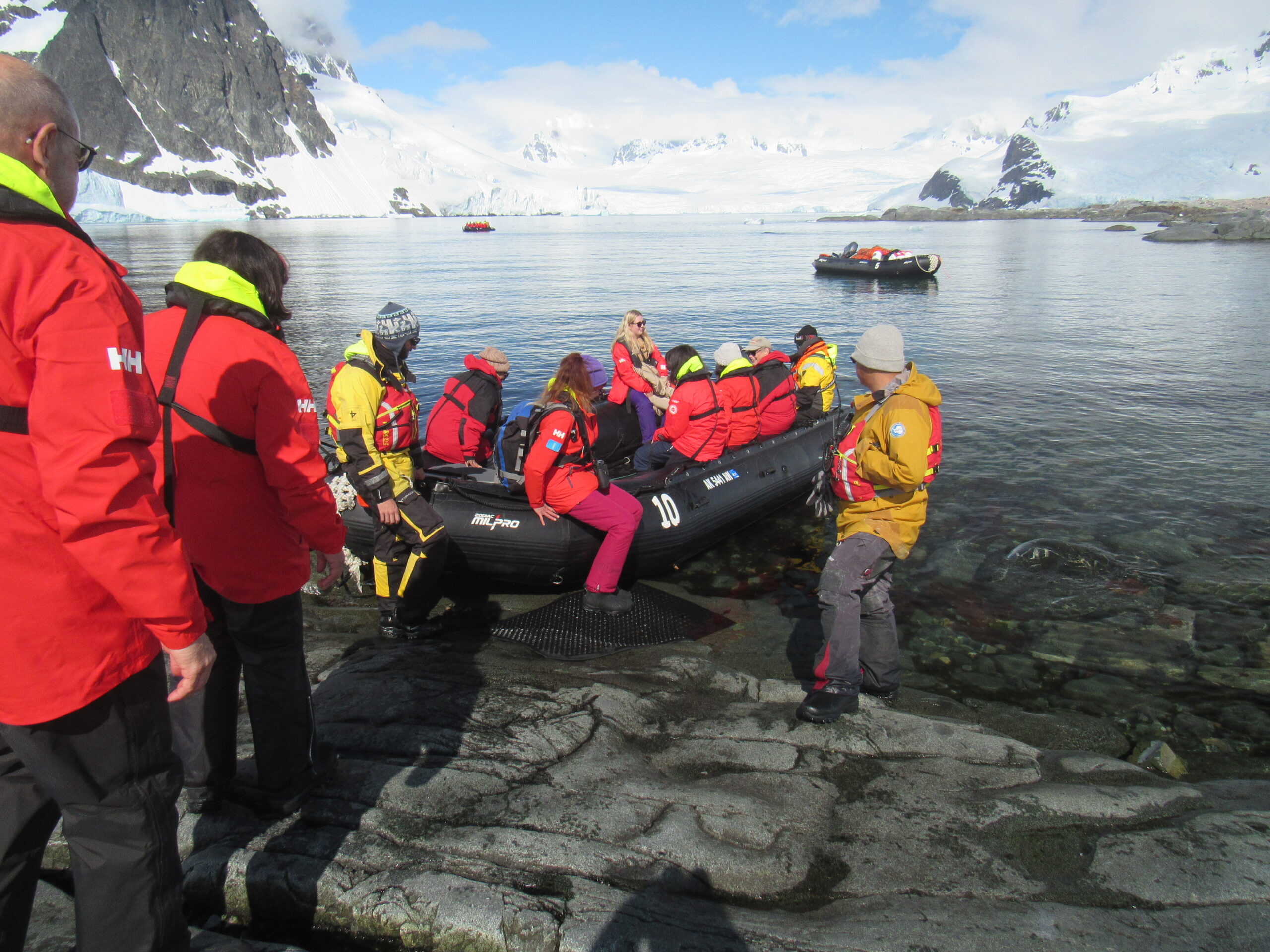
Around mid-day, our ship found its ideal spot in the bay and stopped. The zodiacs made ready and started to take groups of us to the shore. Here are some photos taken by the ship’s photographer, who was obviously more of a professional than I.
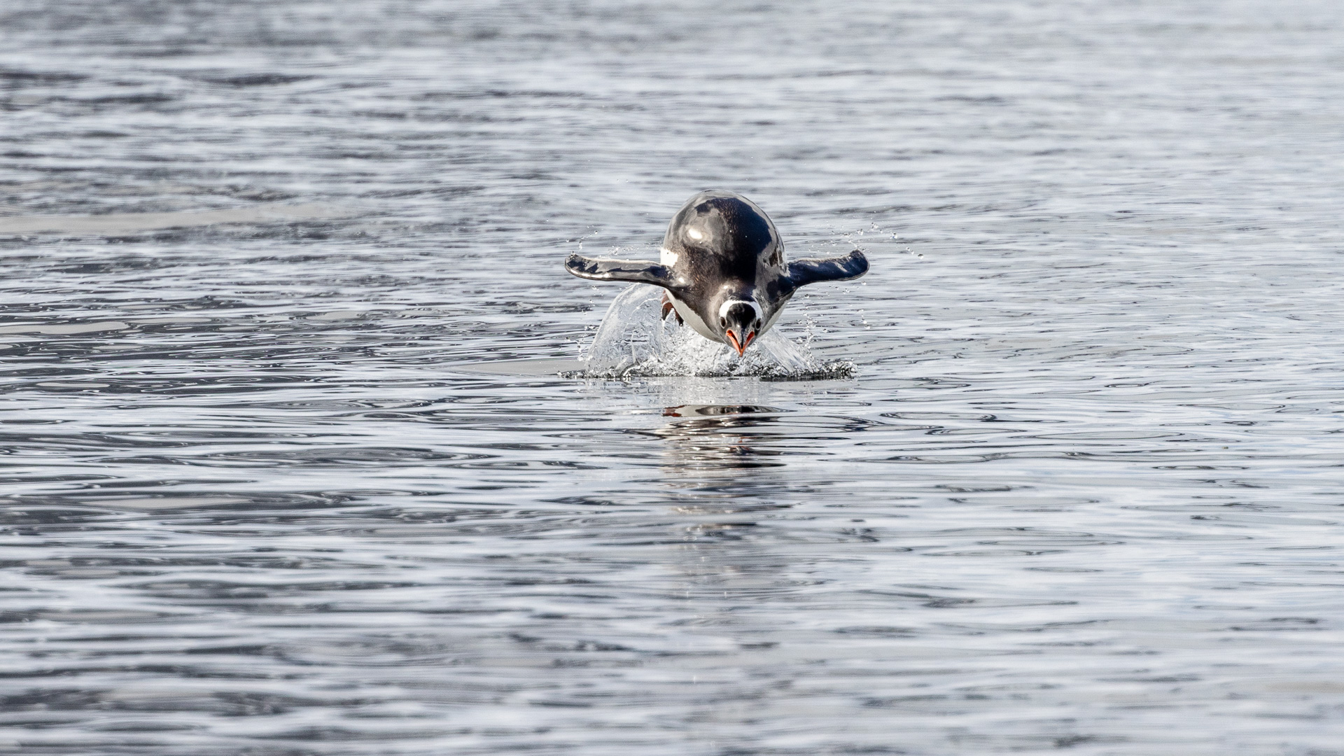
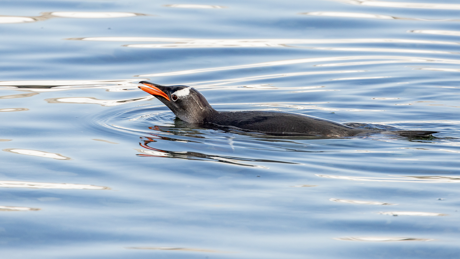
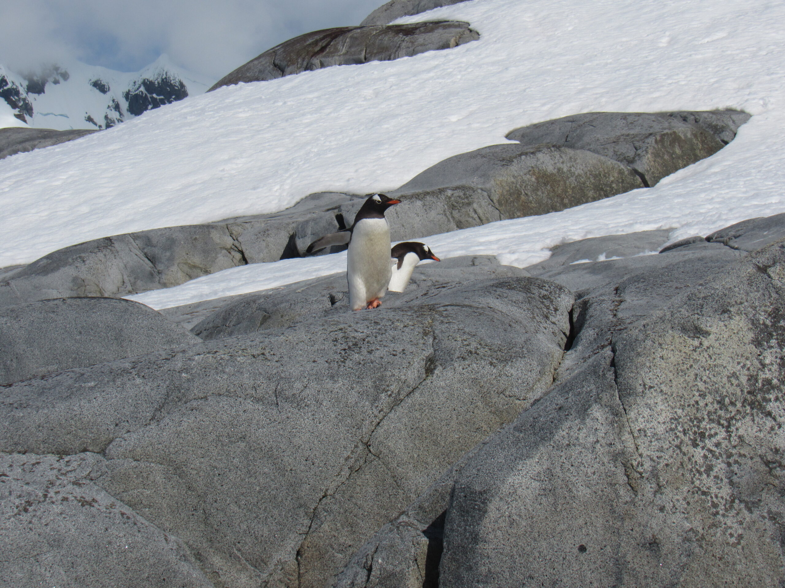
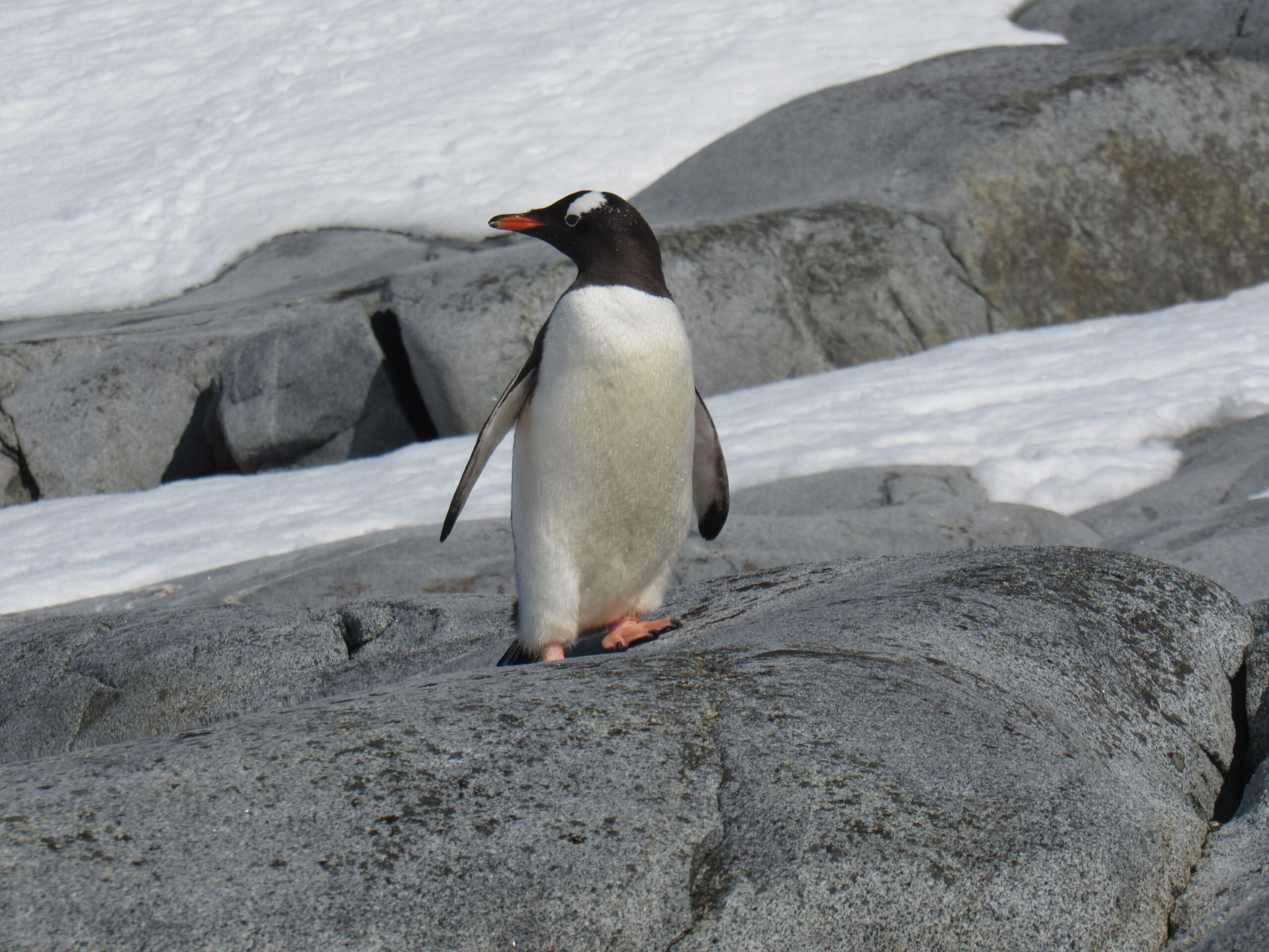
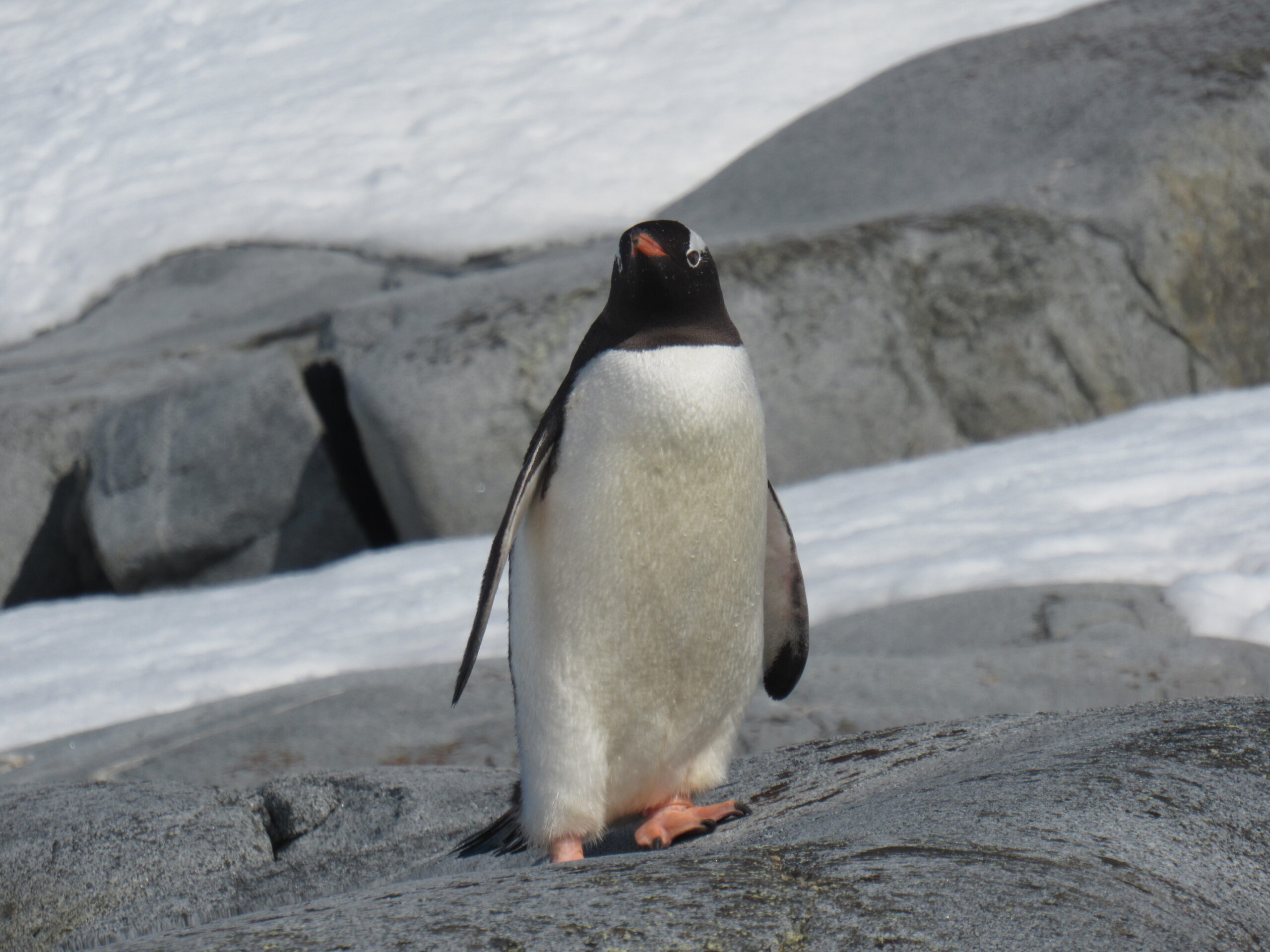
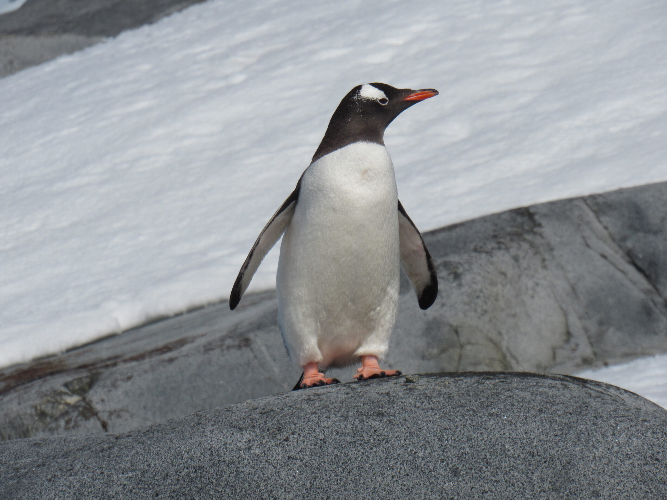
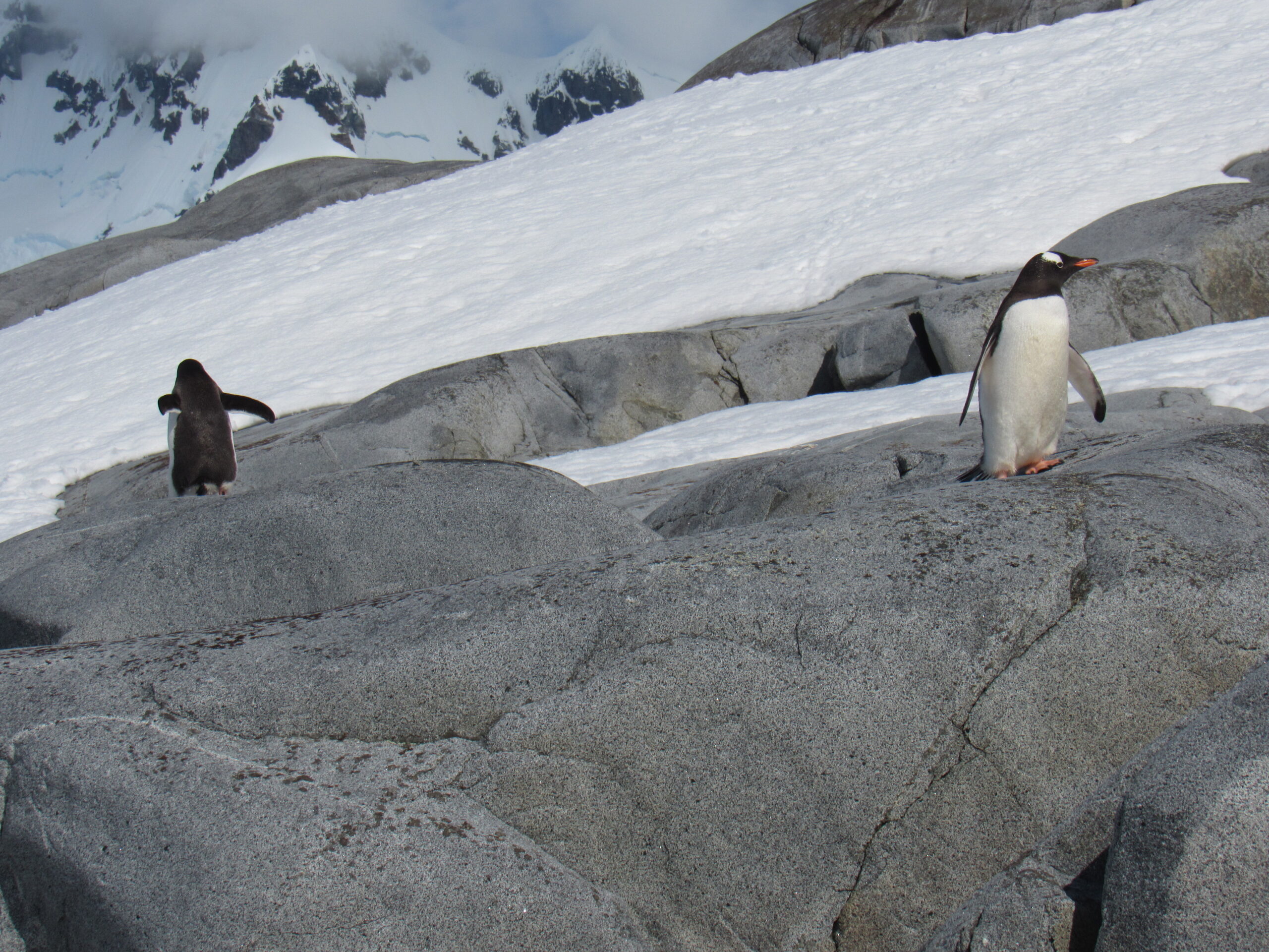
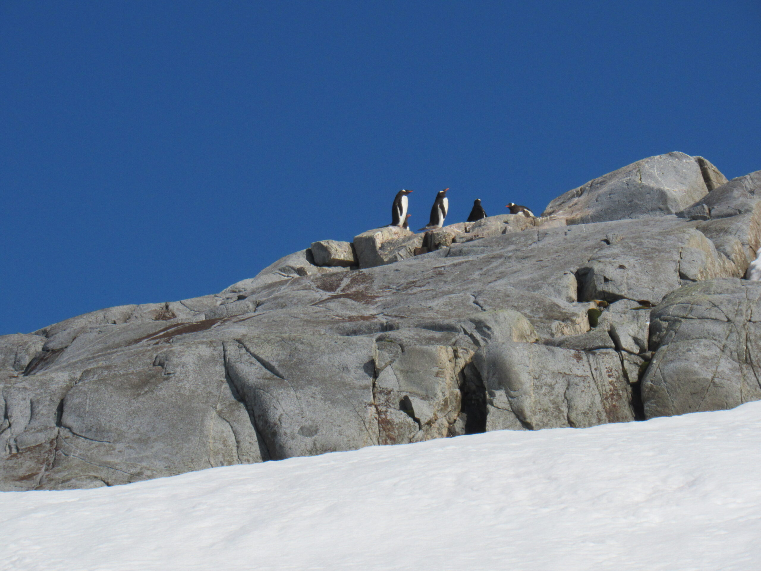
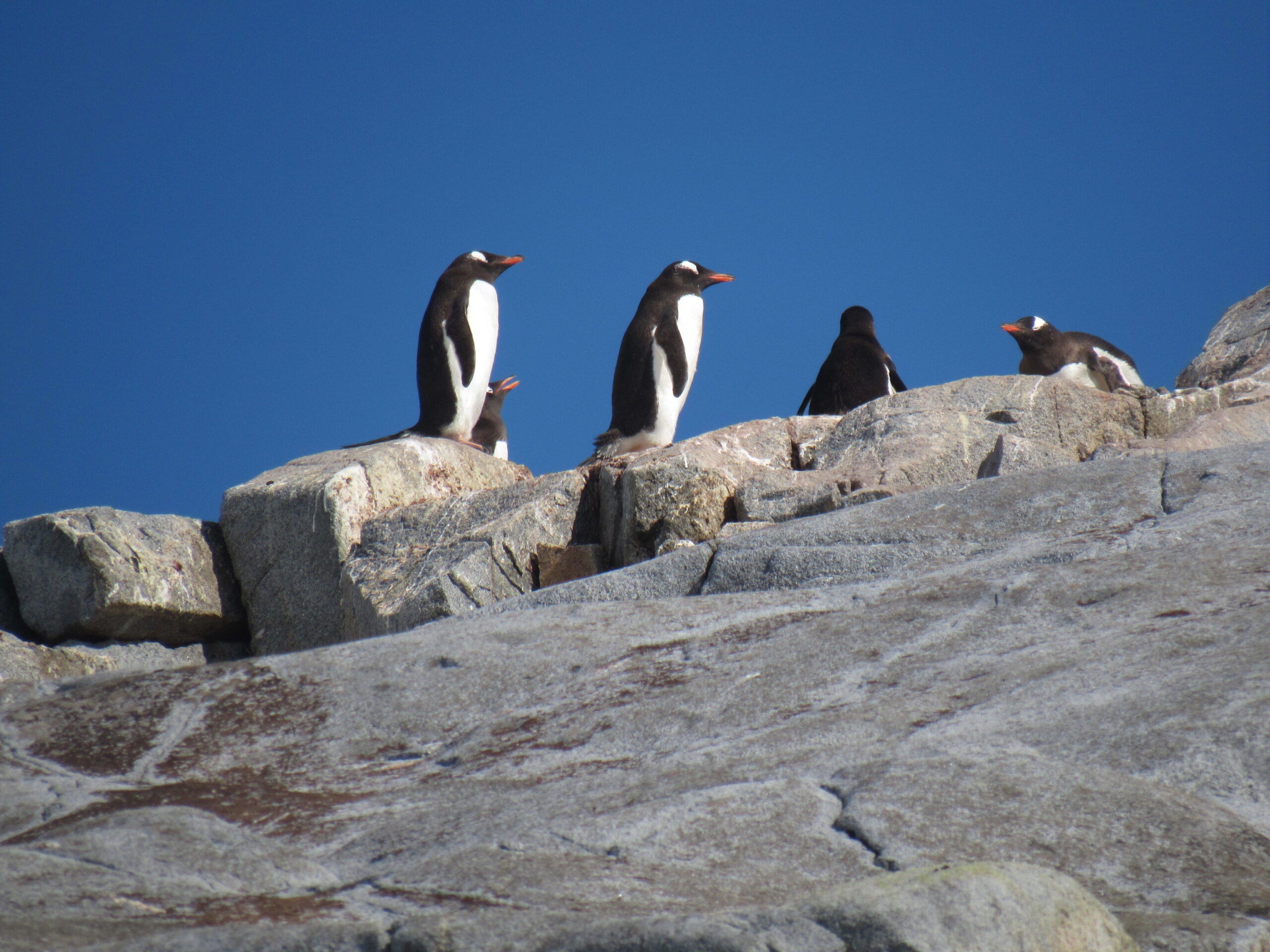
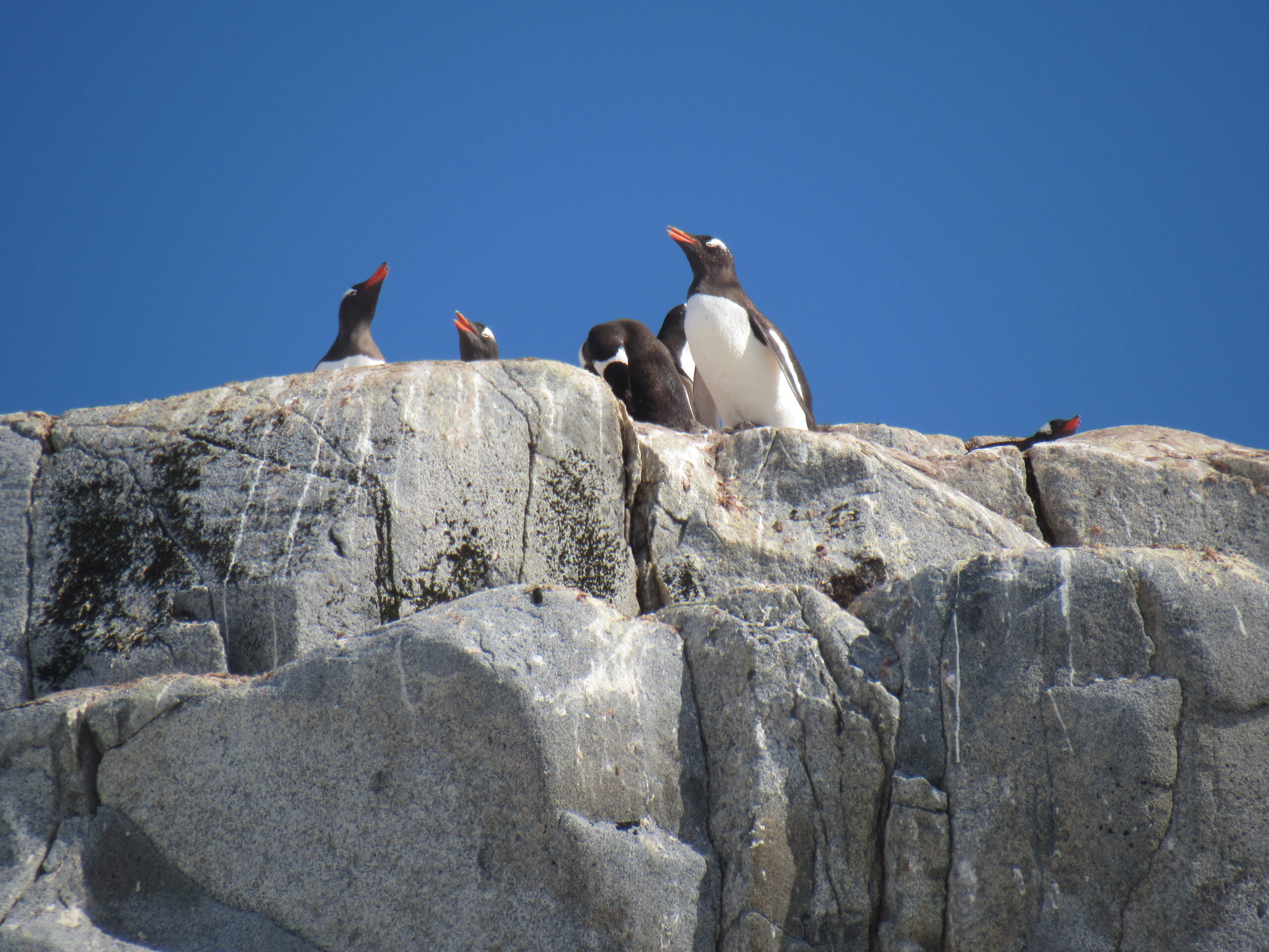
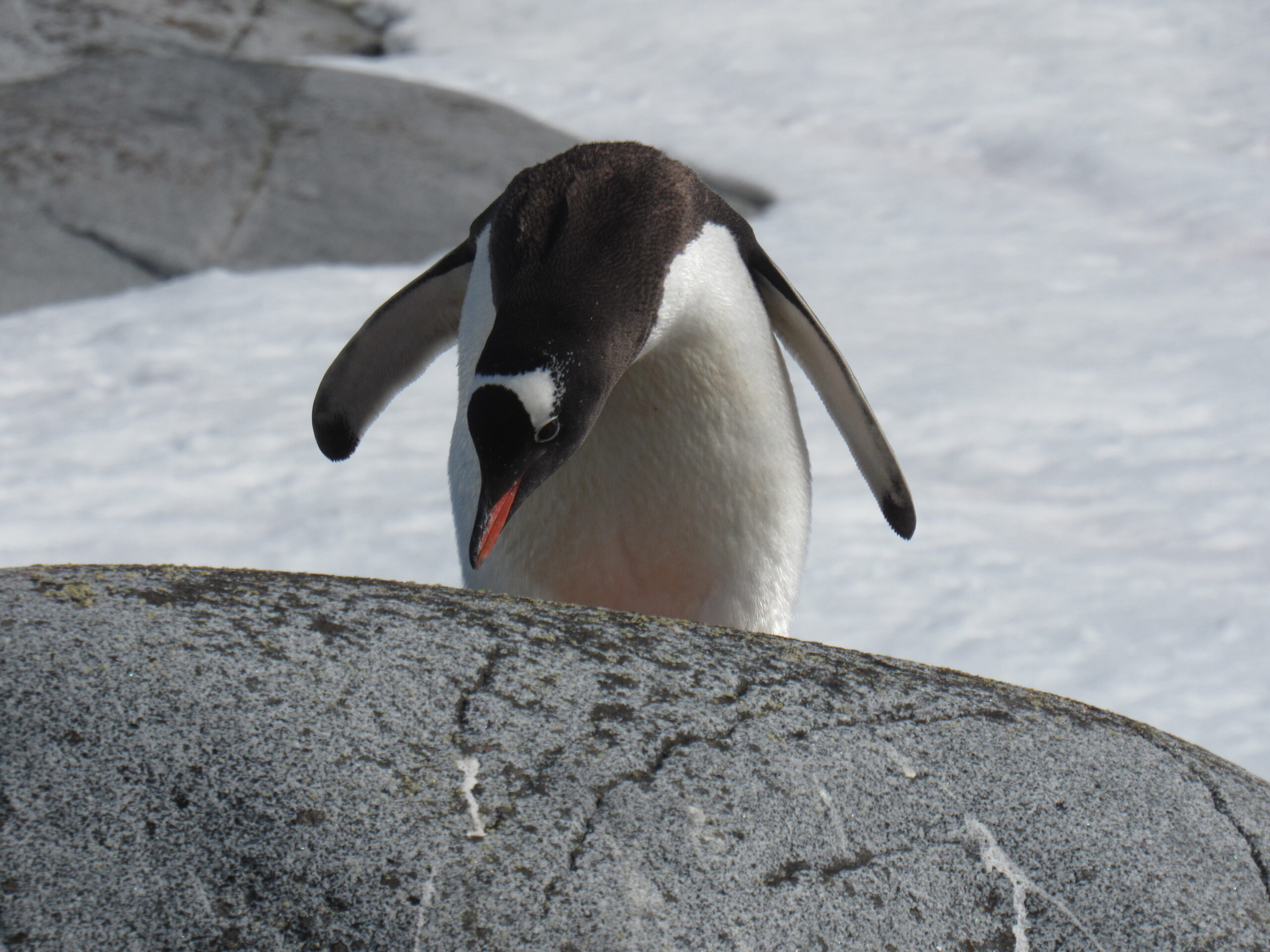
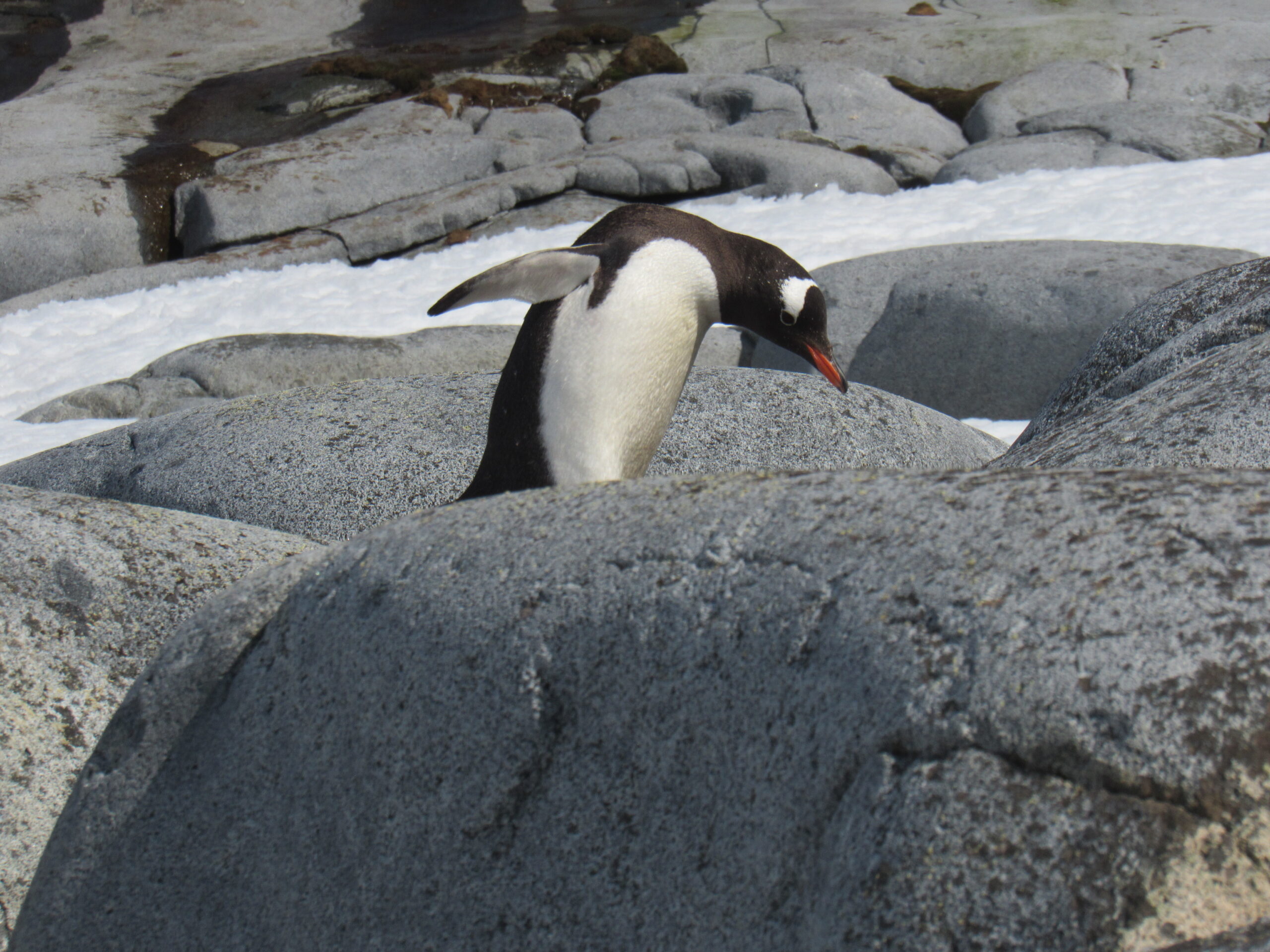
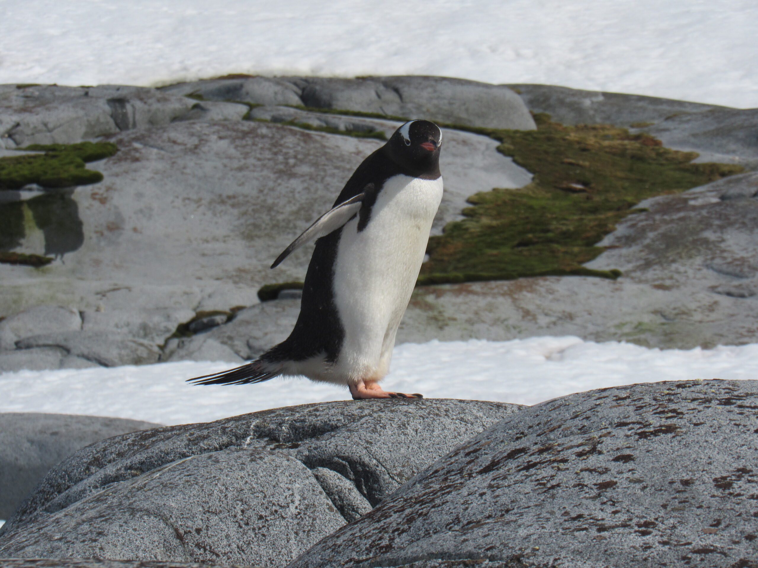
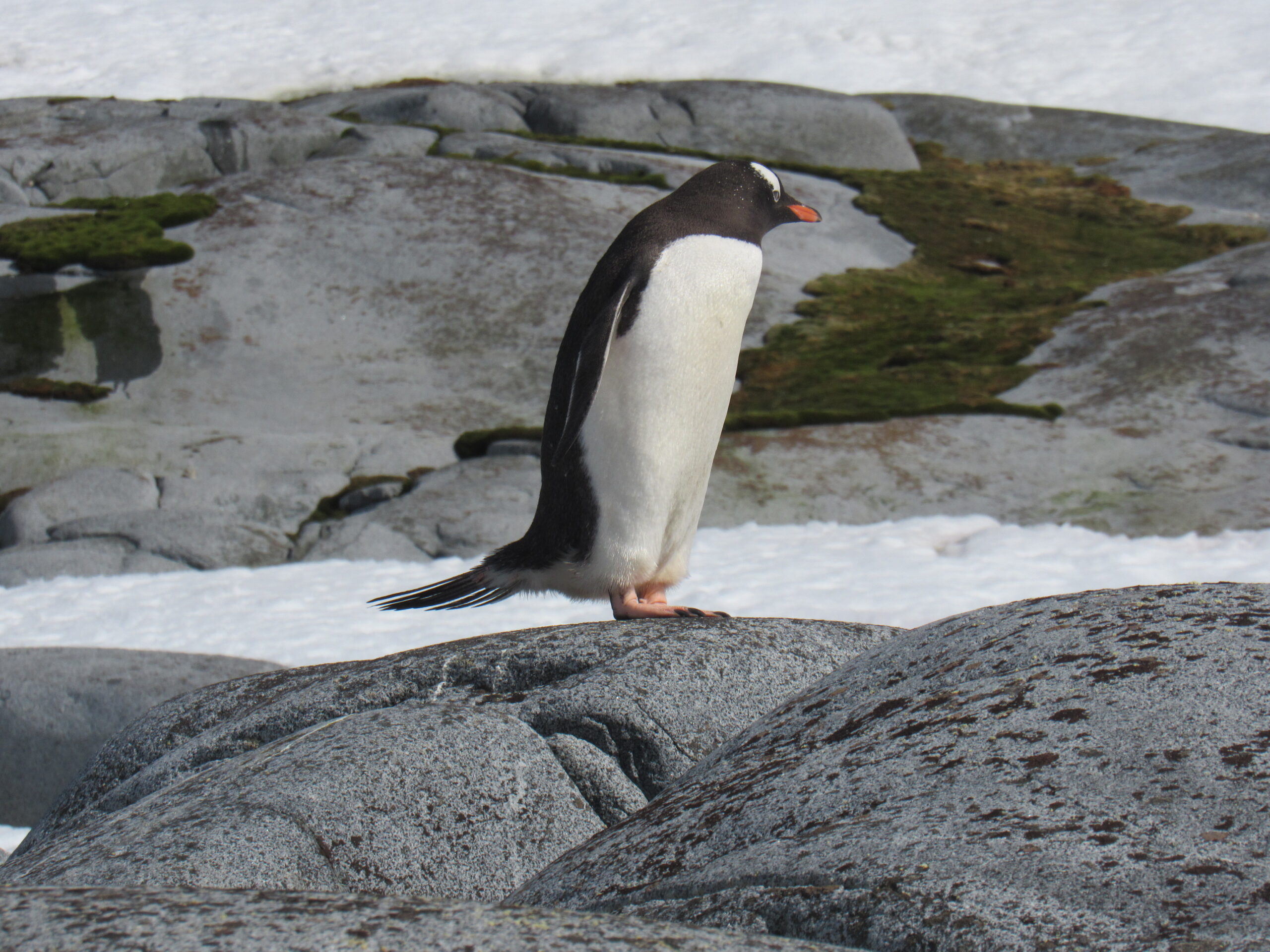
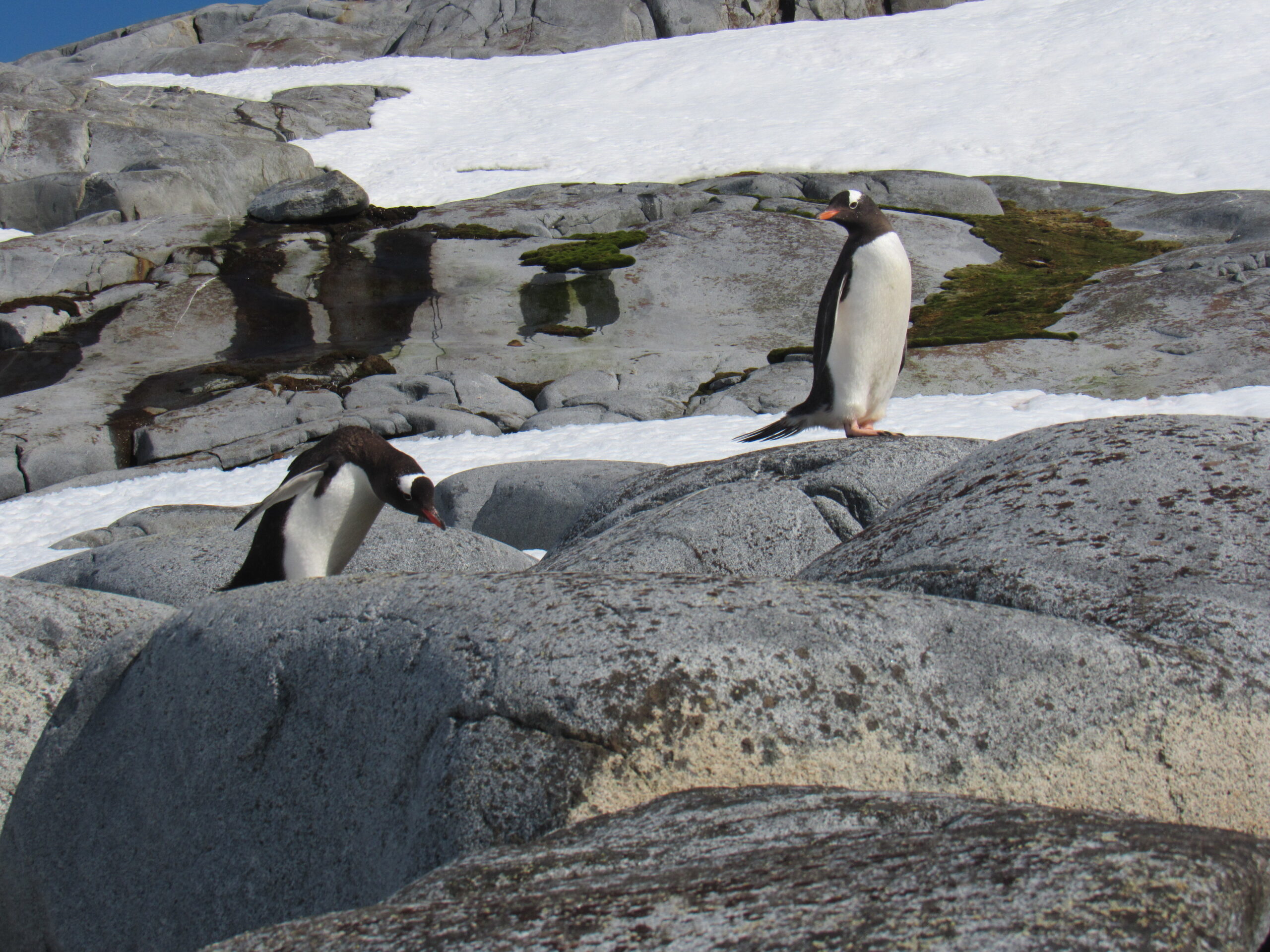
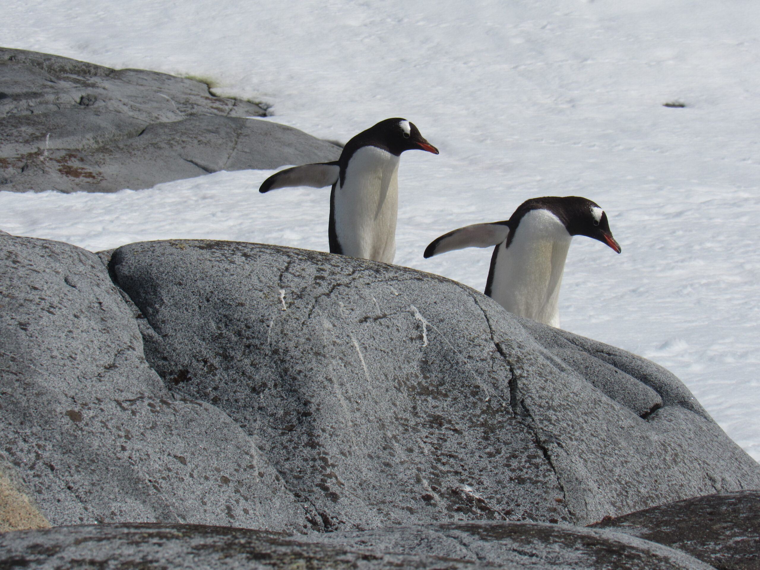
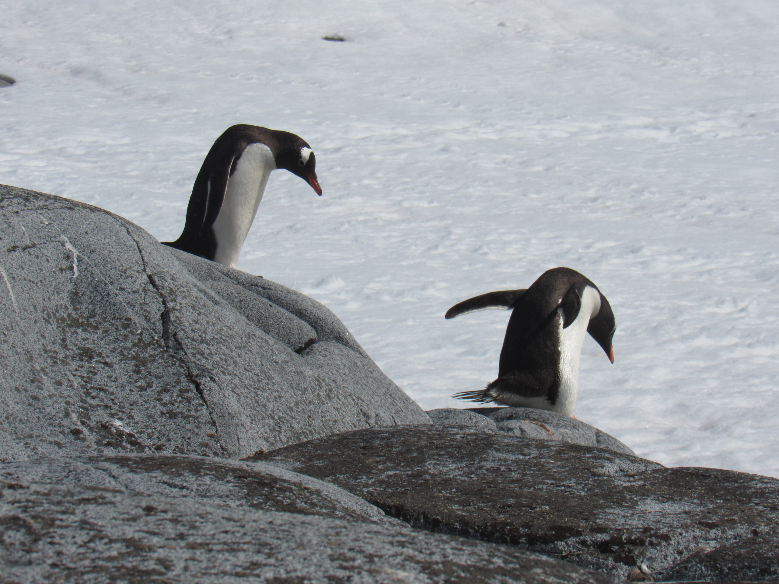
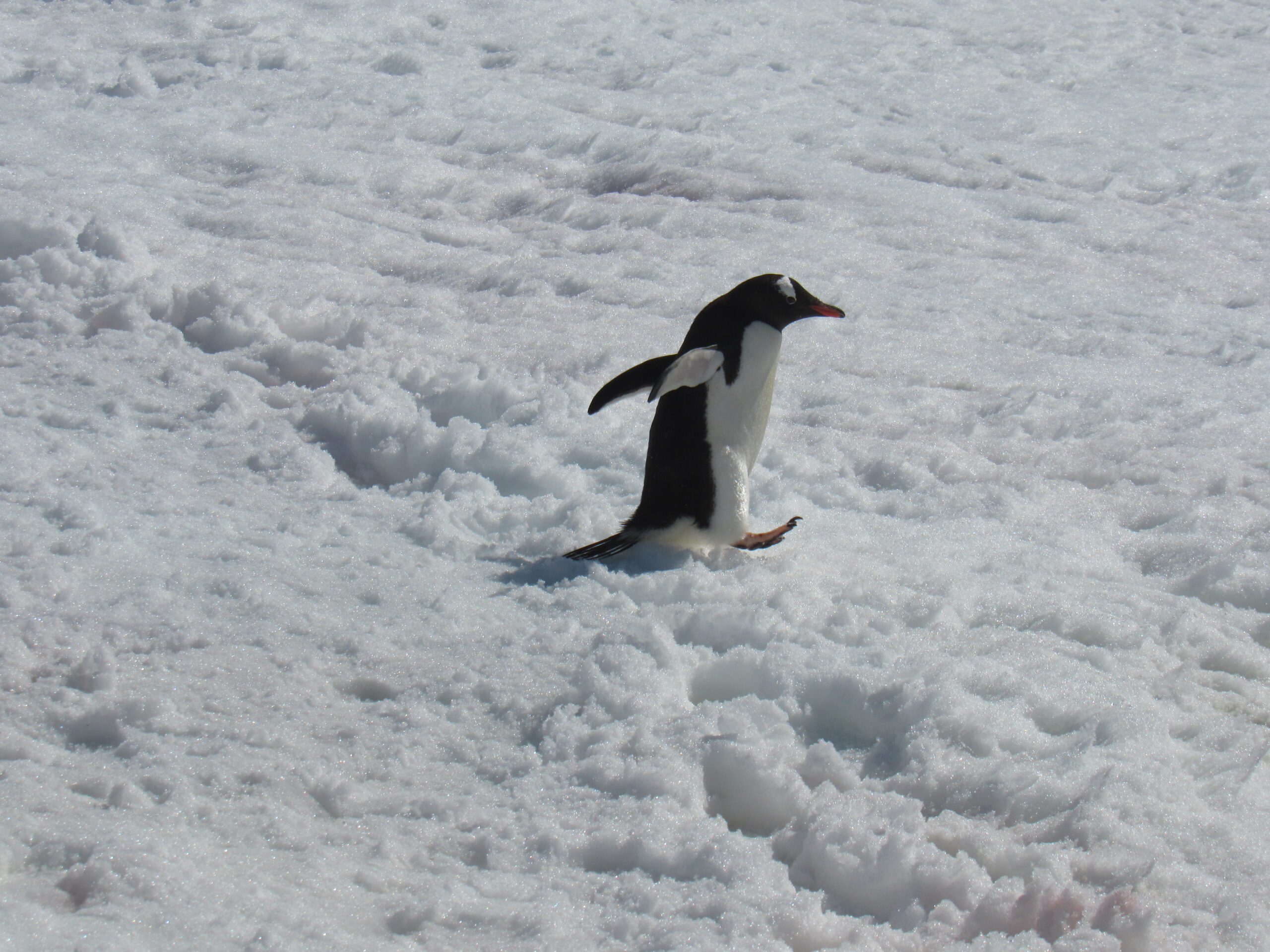
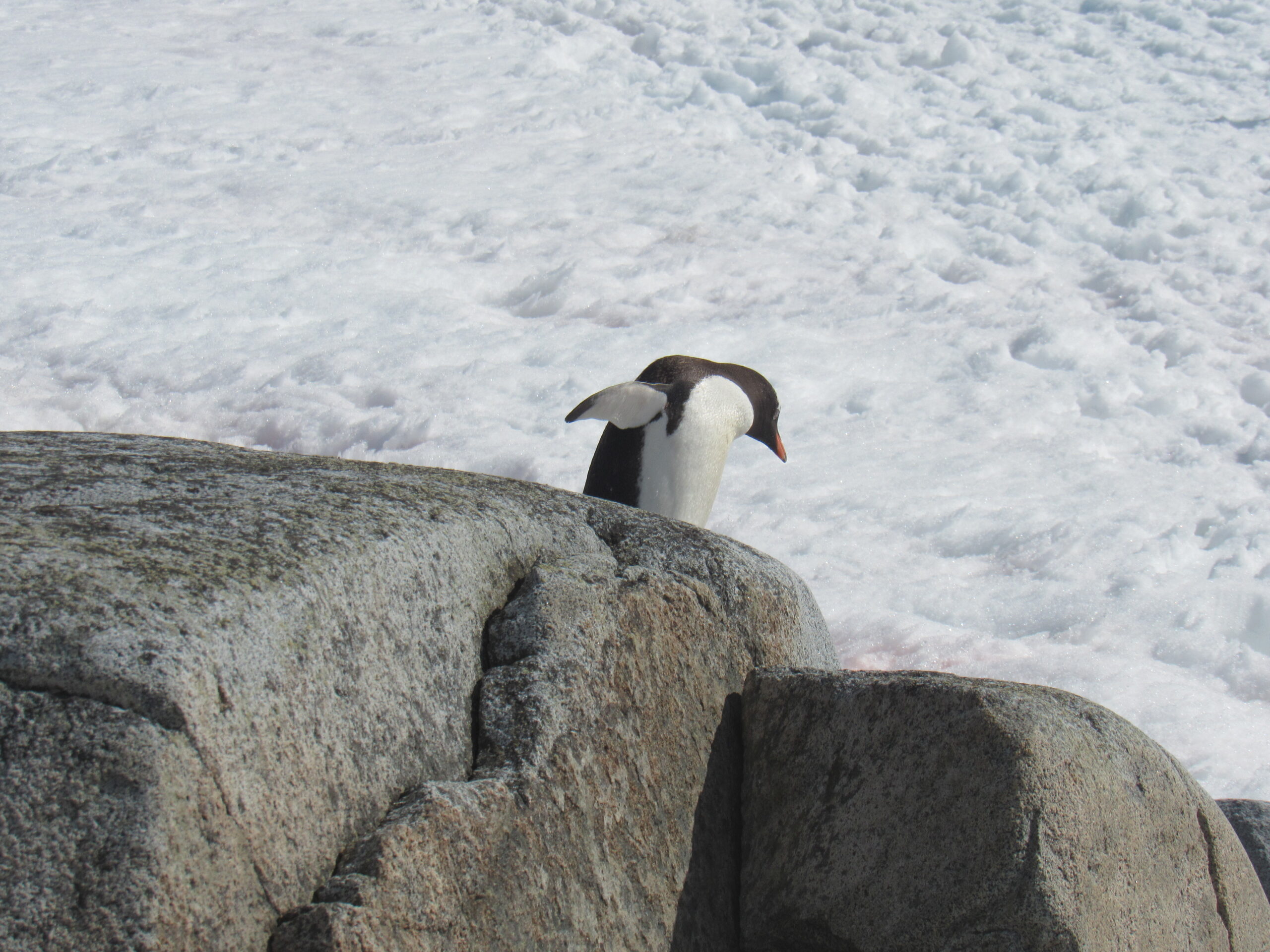
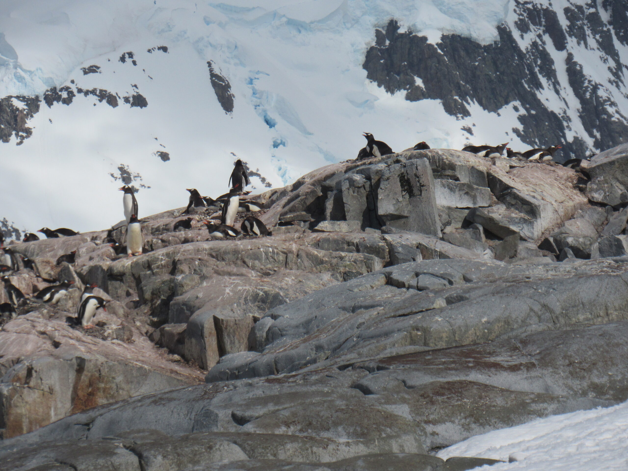
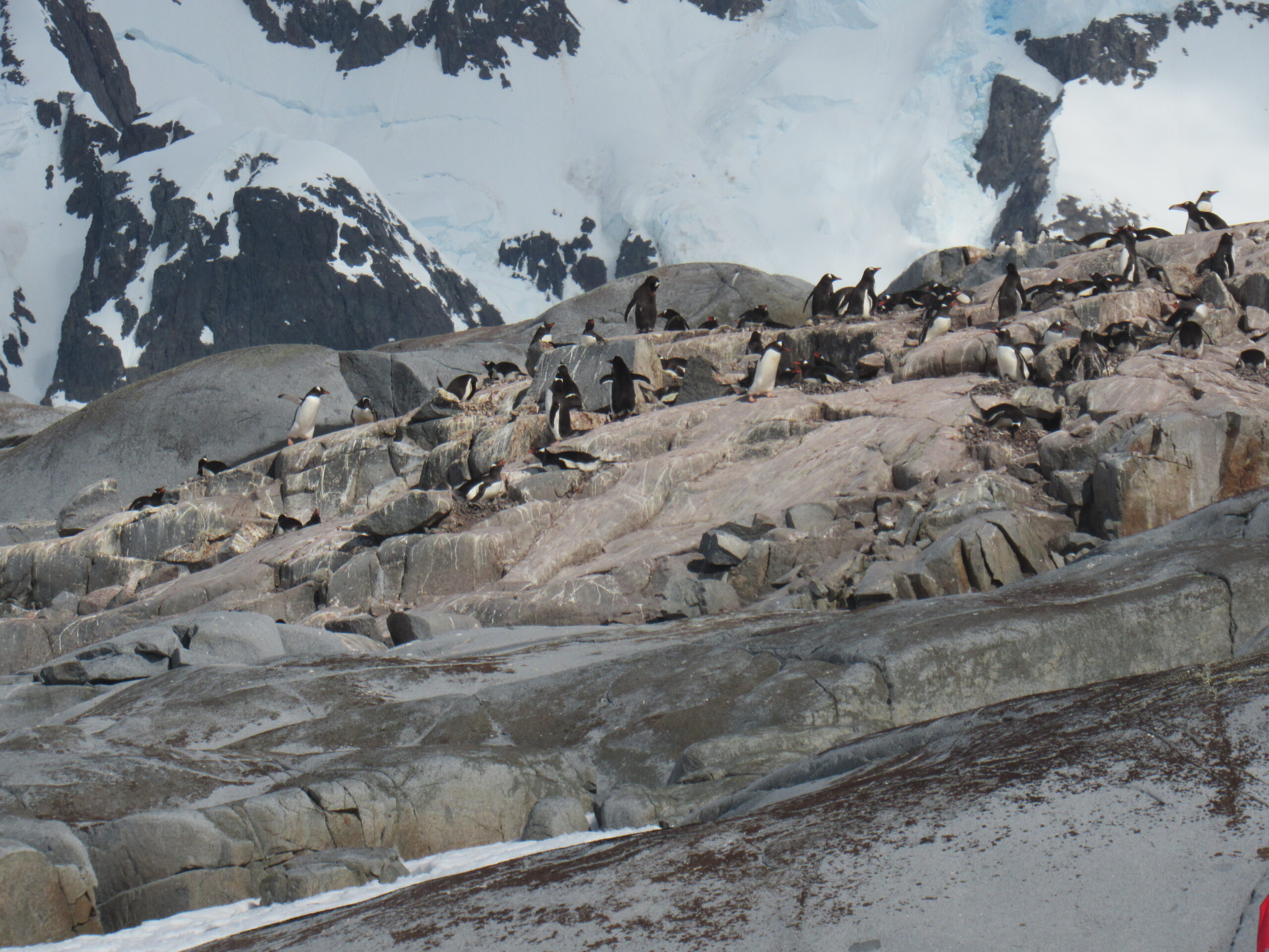
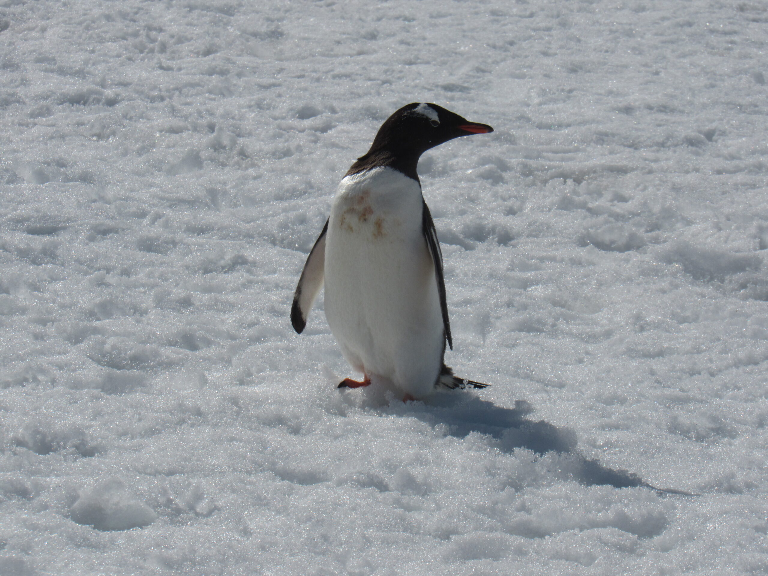
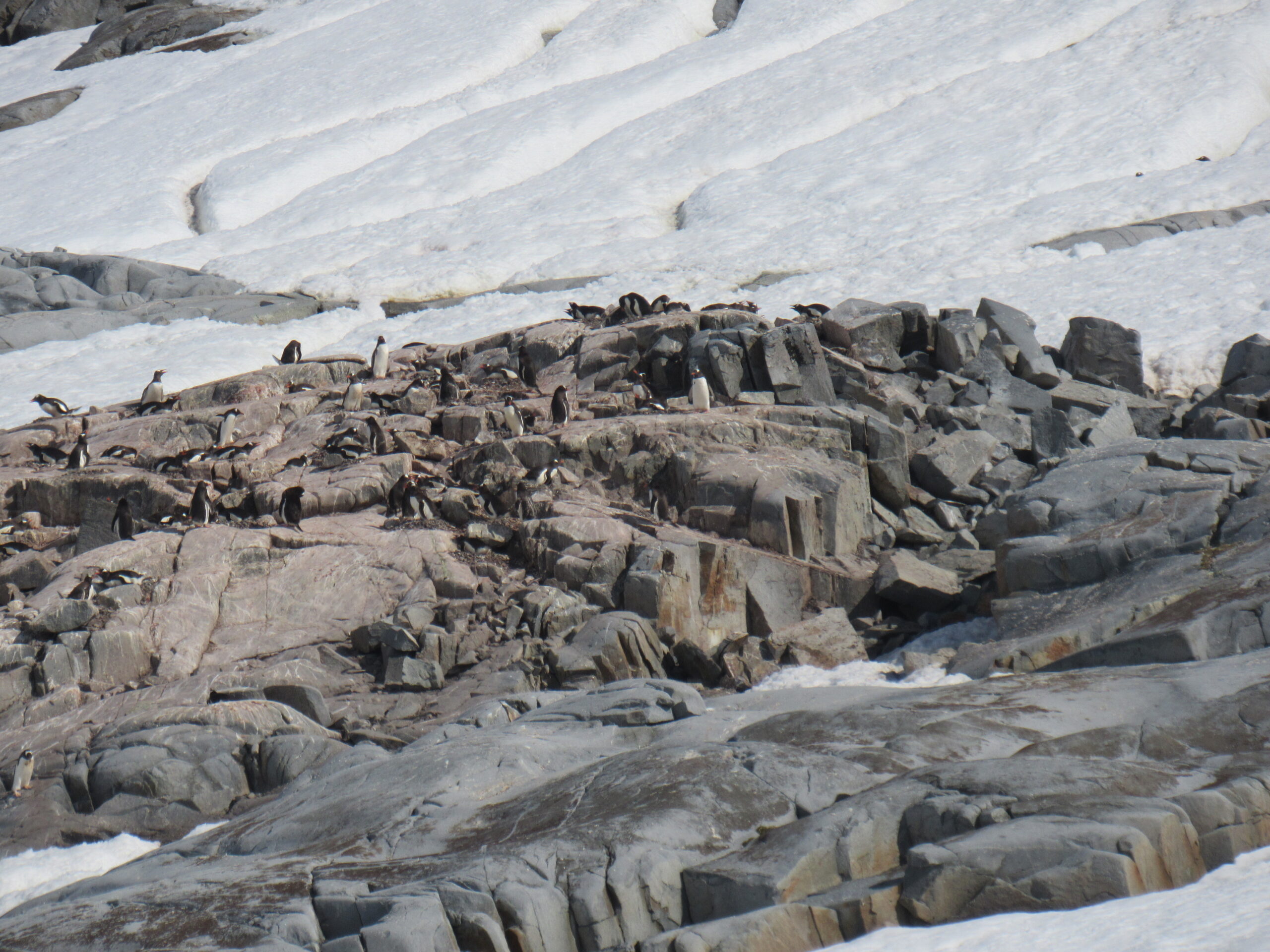
Our landing site was at a colony of gentoo penguins. The gentoo penguin is easily recognized by the wide, white stripe extending like a bonnet across the top of its head and its bright orange-red bill. It has pale whitish-pink, webbed feet and a fairly long tail – the most prominent tail of all penguin species. Chicks have grey backs with white fronts. As the gentoo penguin waddles along on land, its tail sticks out behind, sweeping from side to side, hence the scientific name Pygoscelis, which means “rump-tailed”.
Gentoo penguins can reach a length of 70 to 90 cm (28 to 35 in), making them the third-largest species of penguin after the emperor penguin and the king penguin. Males have a maximum weight around 8.5 kg (19 lb) just before moulting and a minimum weight of about 4.9 kg (11 lb) just before mating. For females, the maximum weight is 8.2 kg (18 lb) just before moulting, but their weight drops to as little as 4.5 kg (9.9 lb) when guarding the chicks in the nest. They are the fastest underwater swimmers of all penguins, reaching speeds up to 36 km/h (22 mph). Gentoos are well adapted to extremely cold and harsh climates.
The breeding colonies of gentoo penguins are located on ice-free surfaces. Settlements can be located directly on the shoreline or considerably inland. The total breeding population is estimated to be over 600,000 birds. Gentoos breed monogamously and infidelity is typically punished with banishment from the colony. Two eggs are laid, both weighing around 130 g (4.6 oz). The parents share incubation, changing duty daily. The eggs hatch after 34 to 36 days. The chicks remain in the nests for around 30 days before joining other chicks in the colony and forming crèches. The chicks moult into subadult plumage and go out to sea at around 80 to 100 days.
The gentoos’ diet is high in salt, as they eat organisms with relatively the same salinity as seawater, which can lead to complications associated with high sodium concentrations in the body, especially for gentoo chicks. To counteract this, gentoos, as well as many other marine bird species, have a highly developed salt gland located above their eyes that takes the high concentration of sodium within the body and produces a highly saline-concentrated solution that drips out of the body from the tip of the beak.
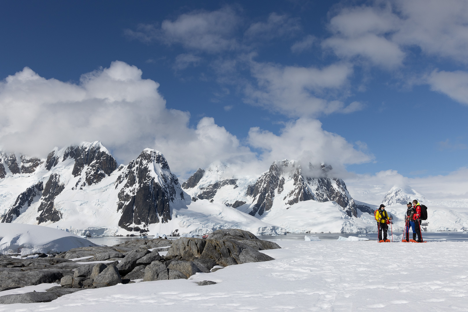
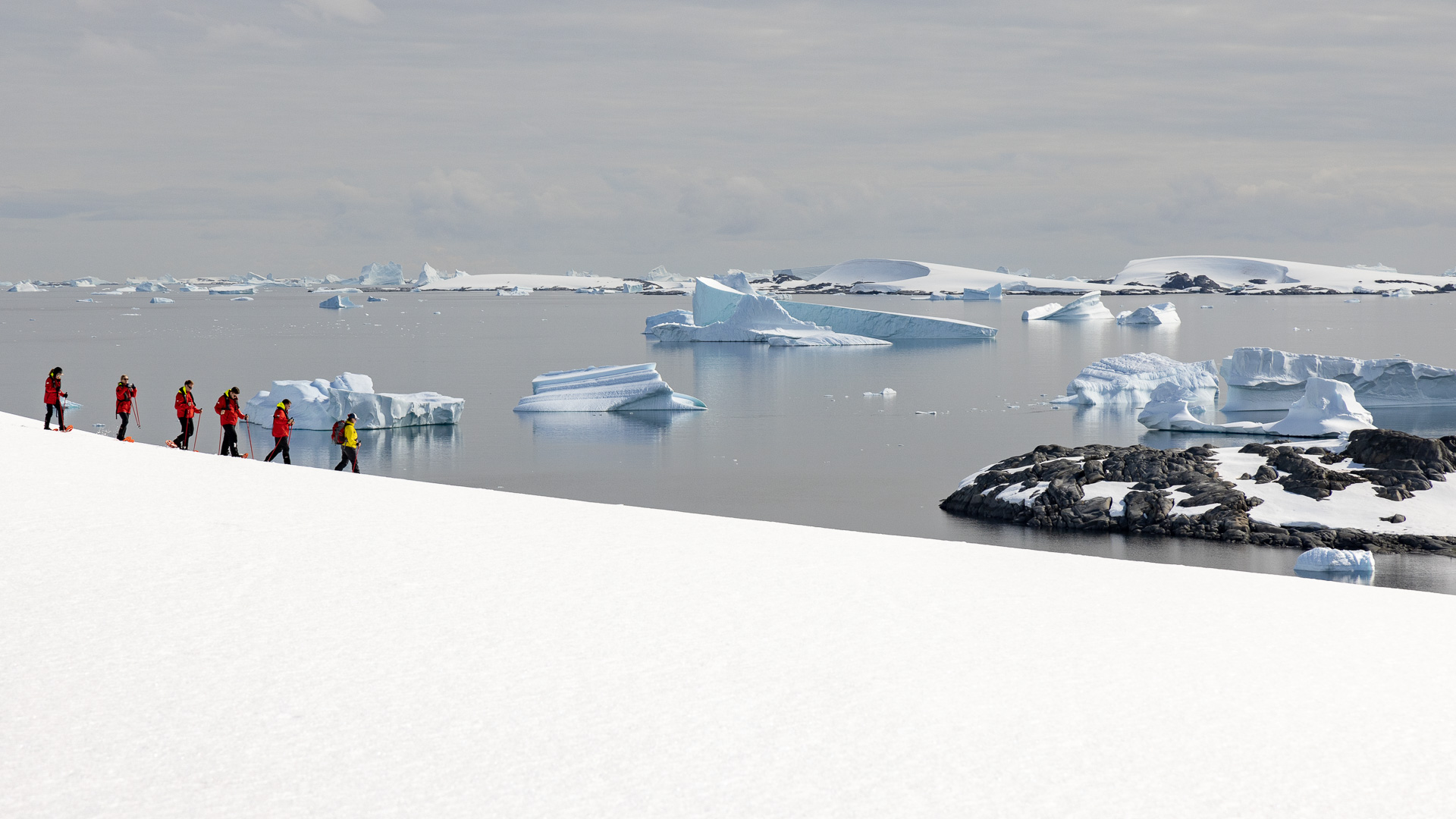
As I had done plenty of snowshoeing during my climbing career, I chose not to pay the extra fee to join in this activity.
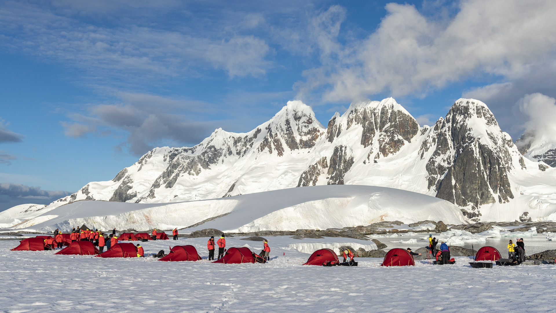
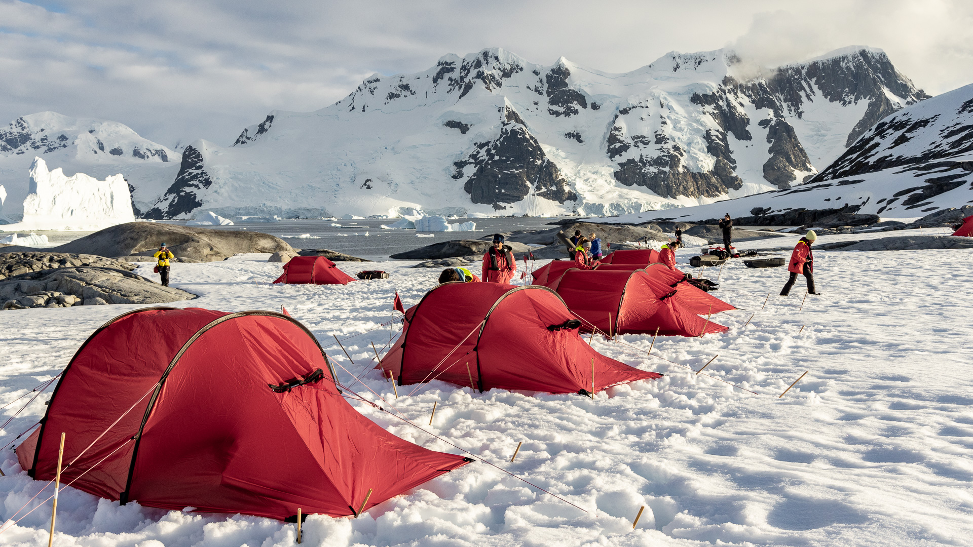
I had done plenty of camping in the snow over the years, so I also passed on this optional activity, which cost a hefty $439.00.
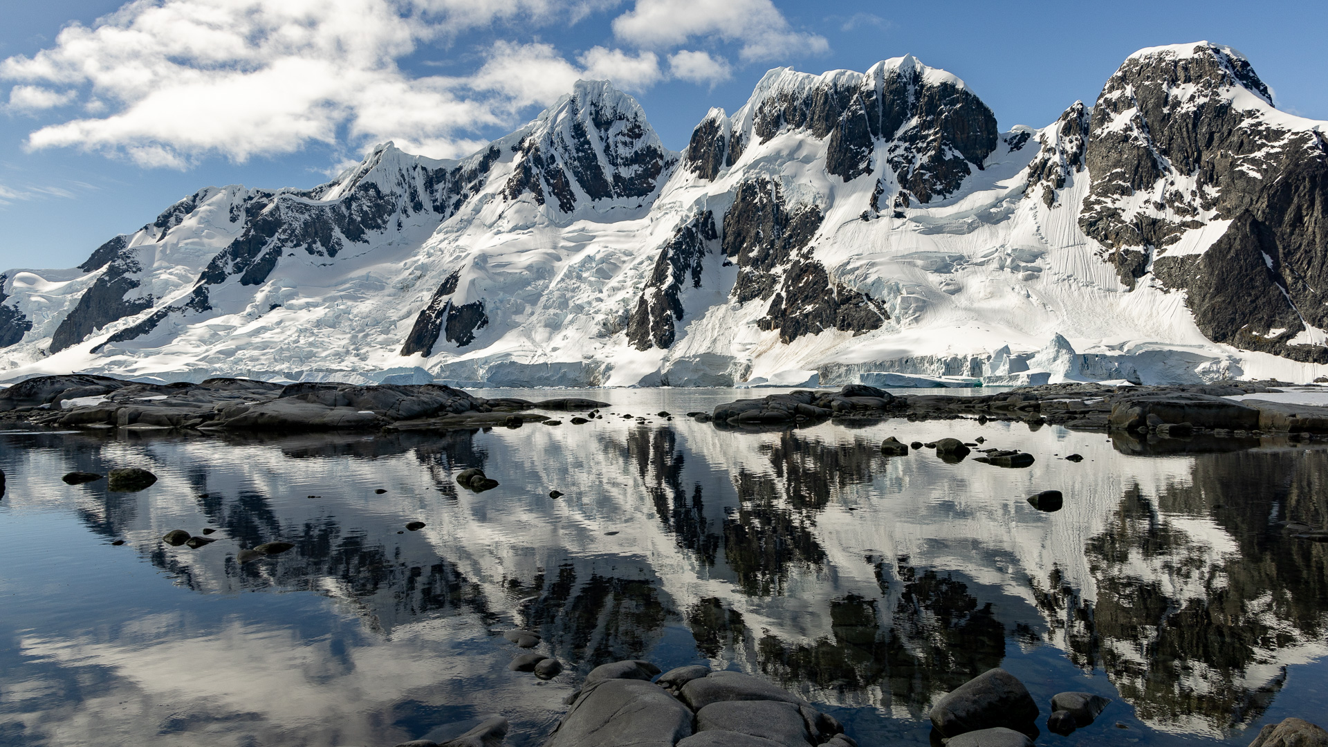
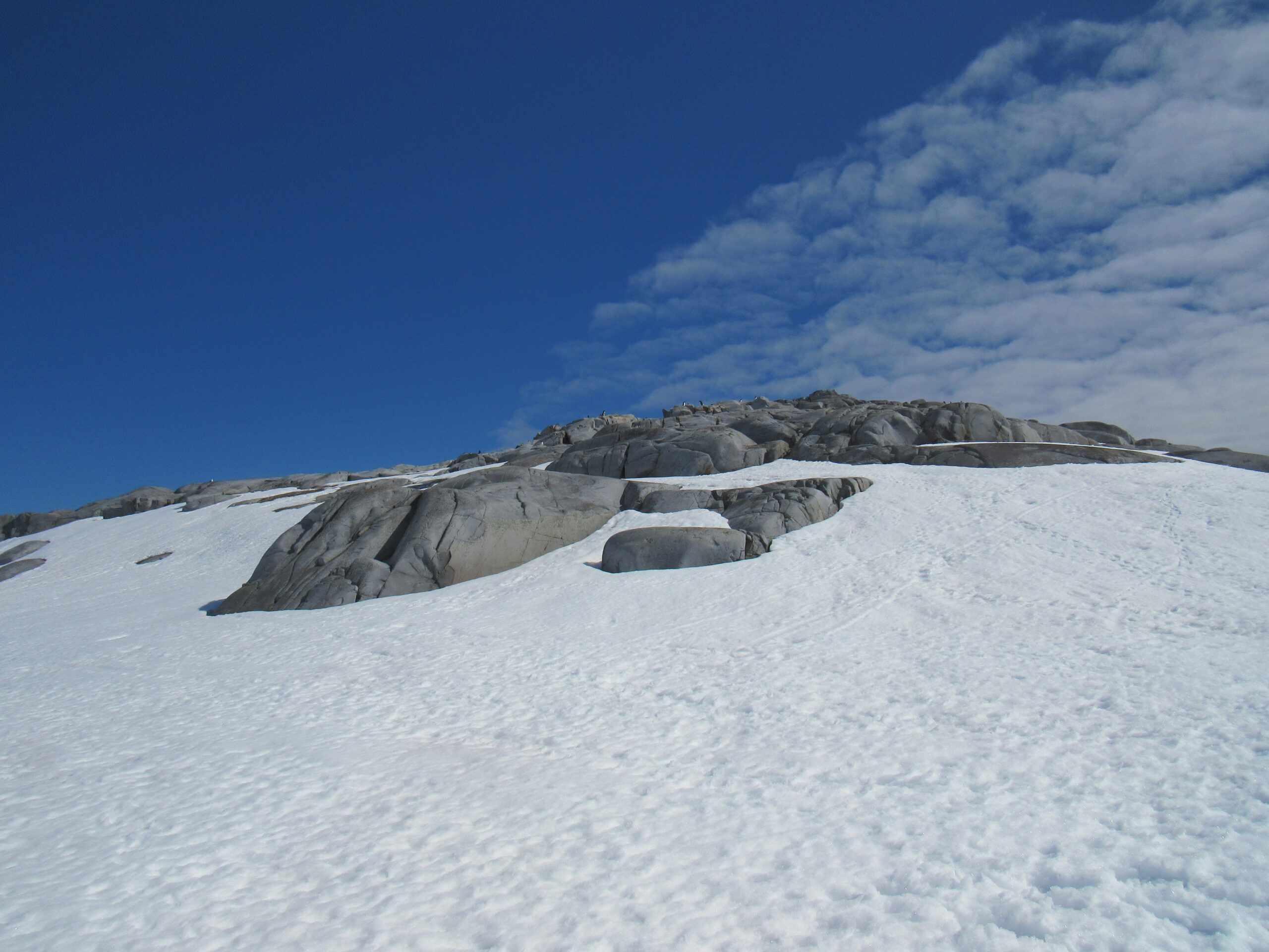
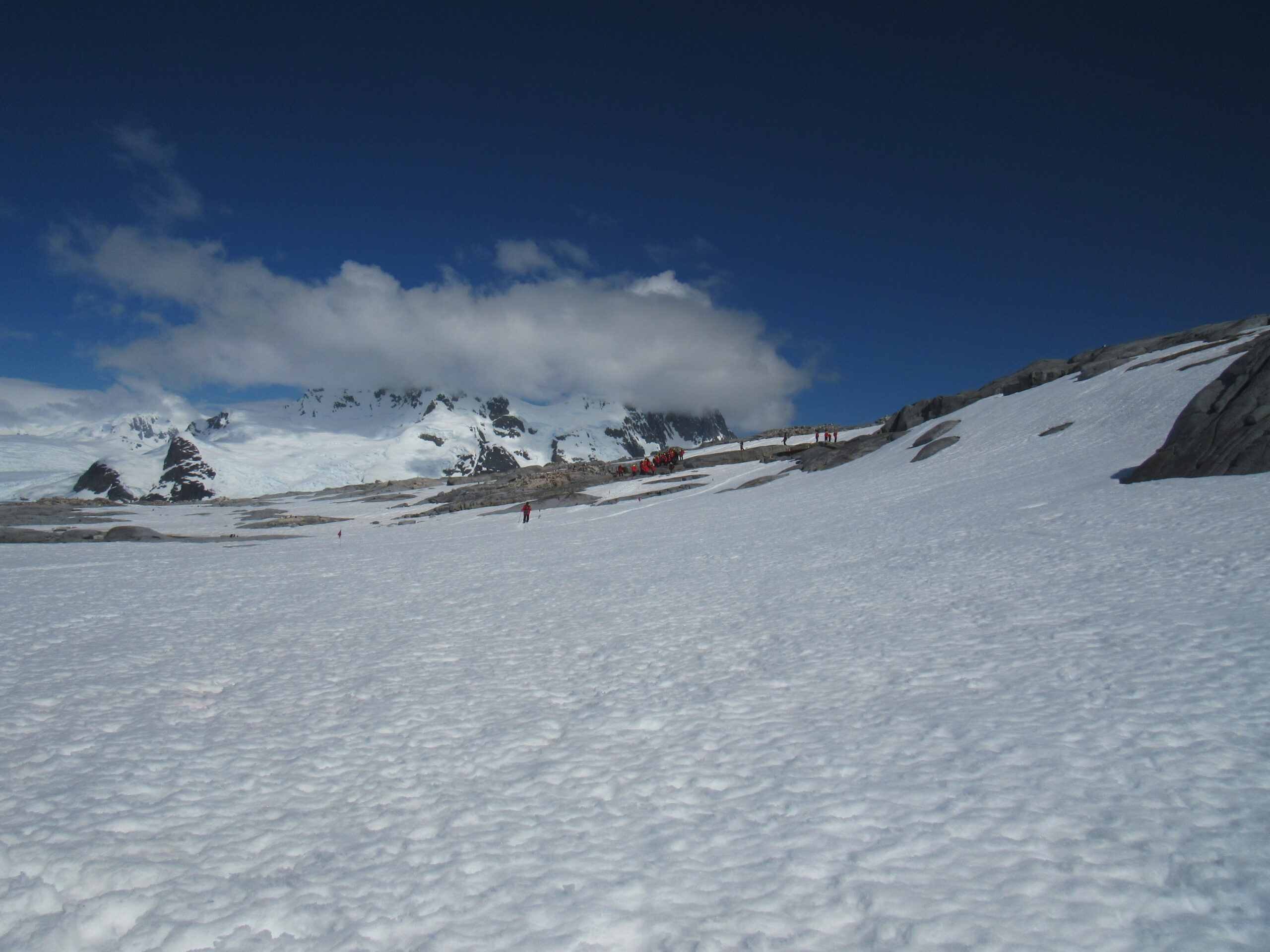
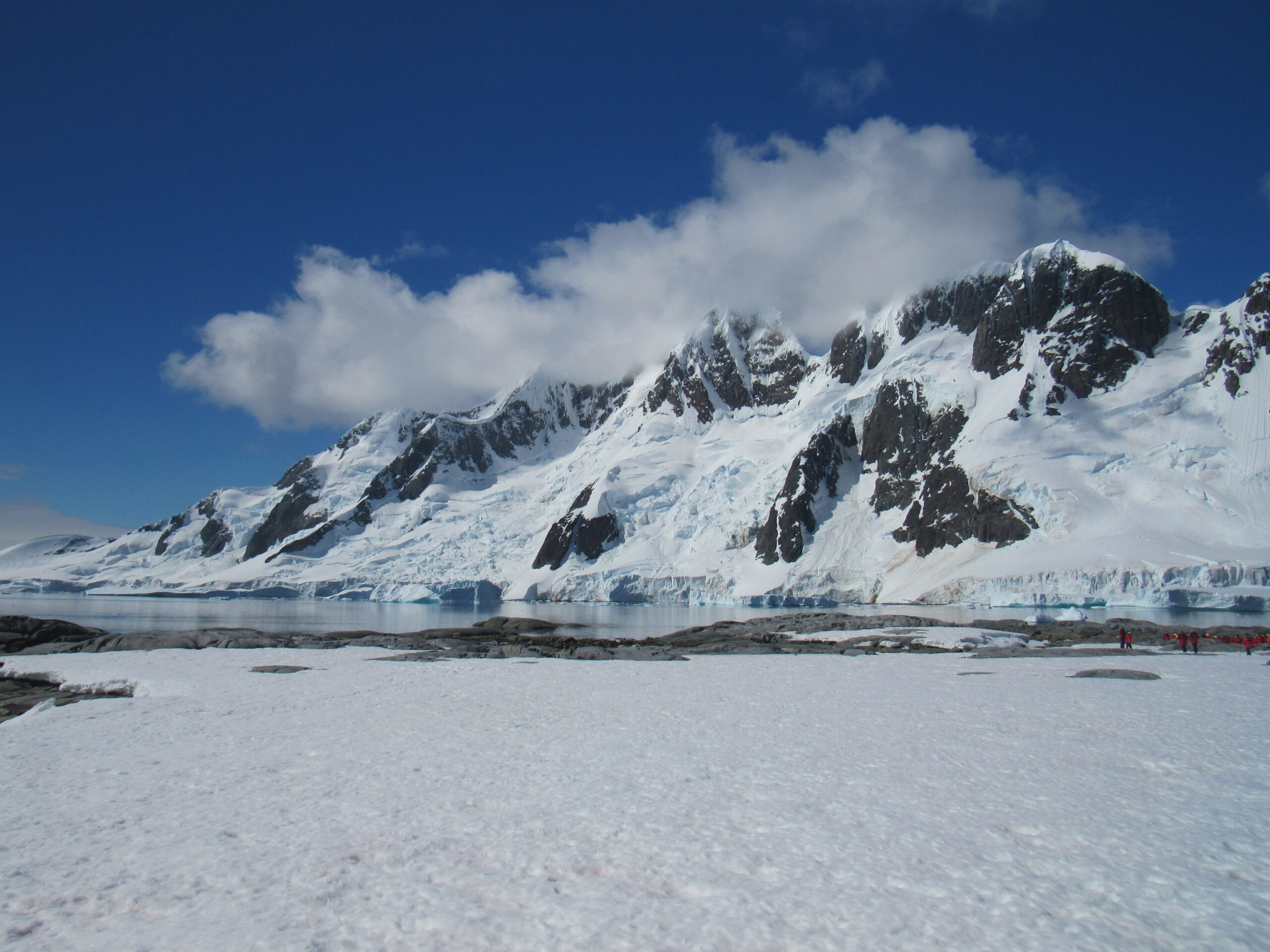
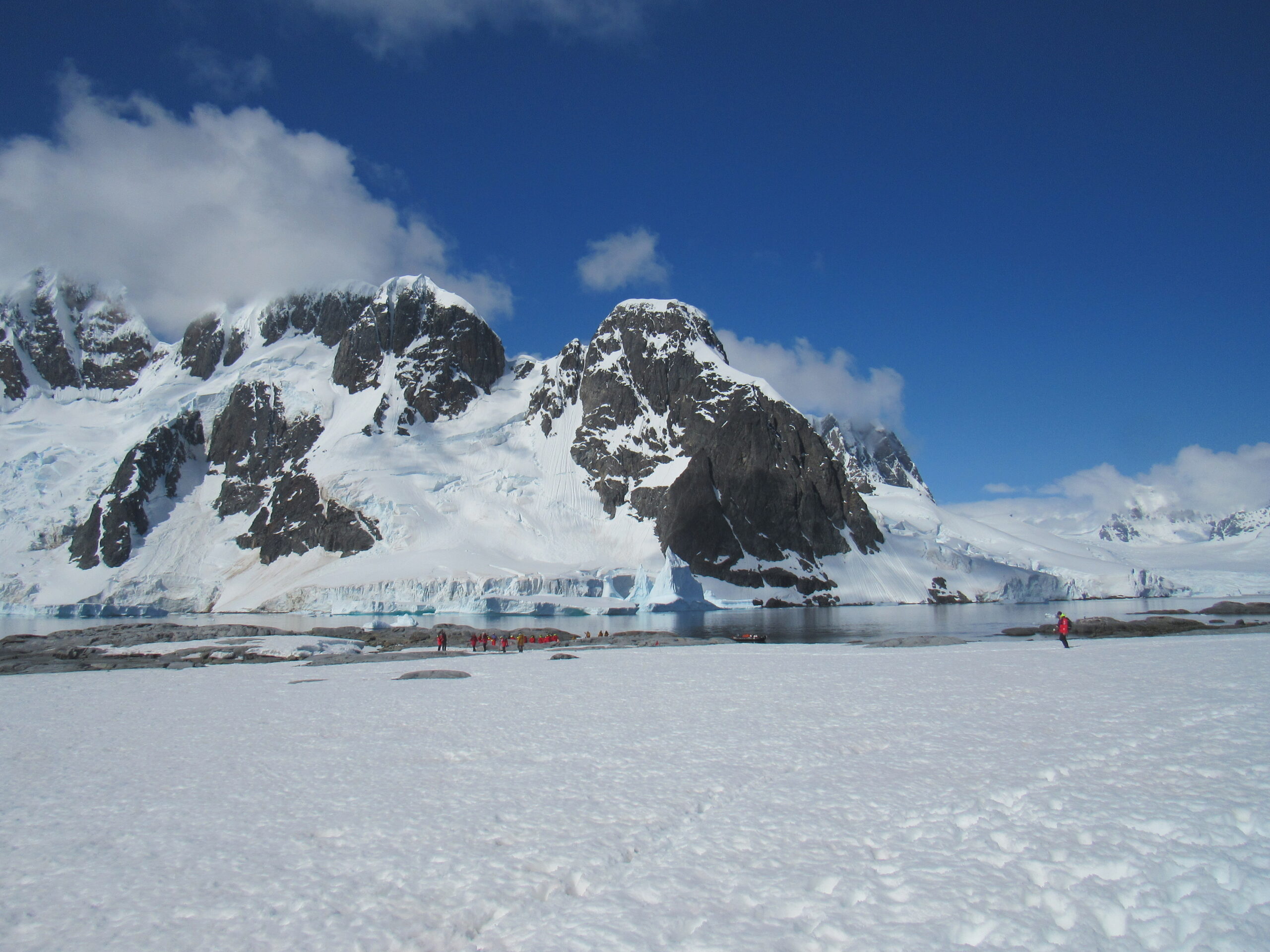
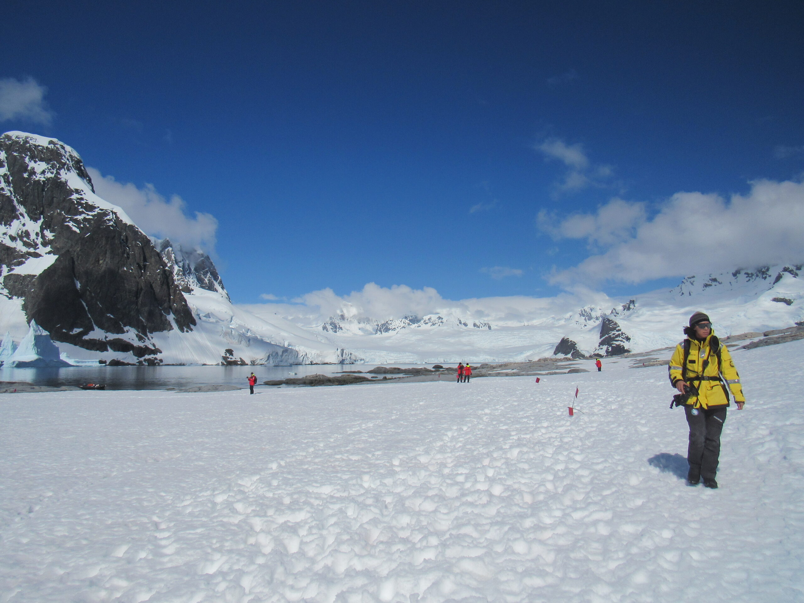
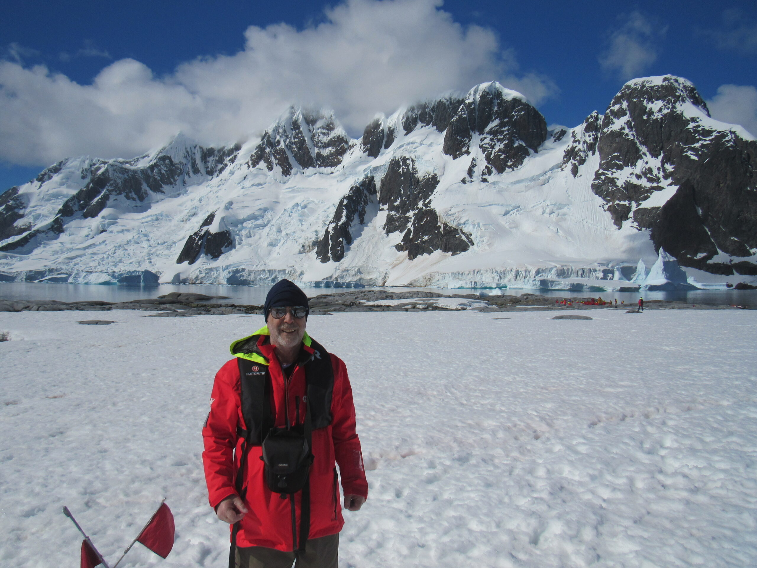
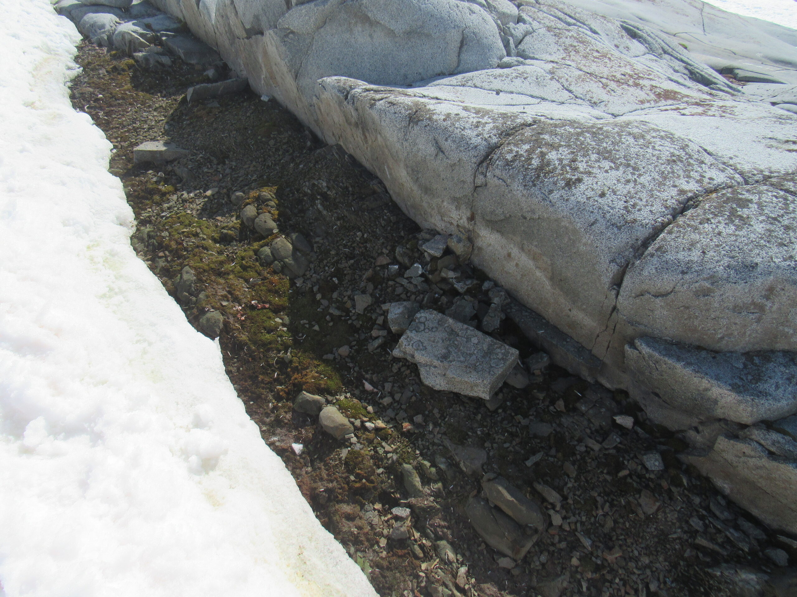
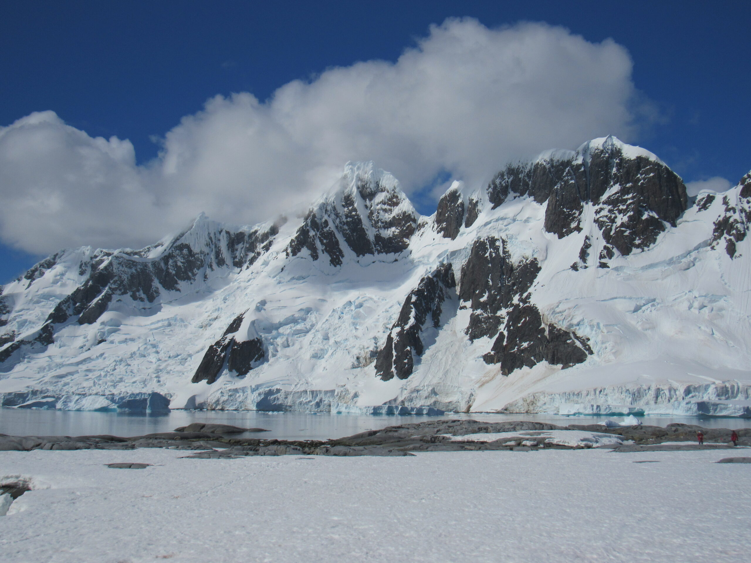
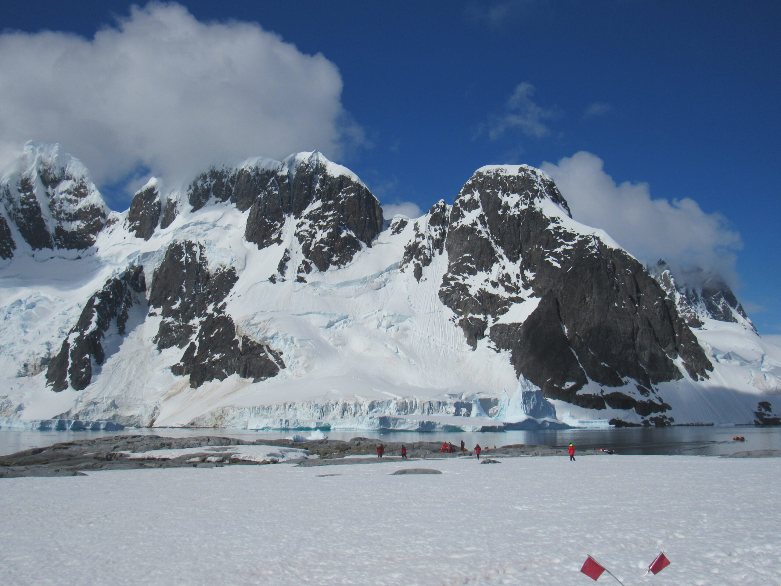
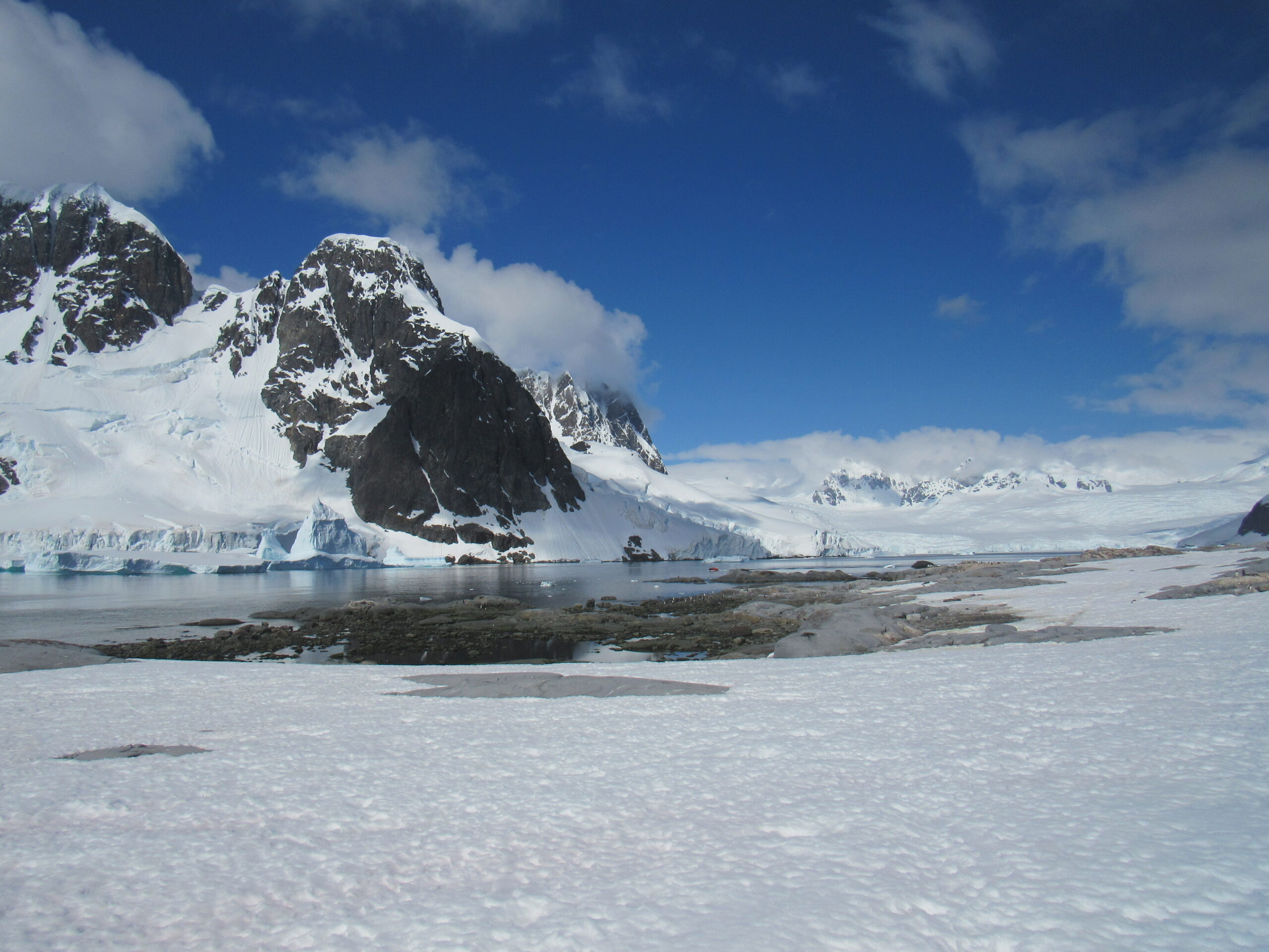
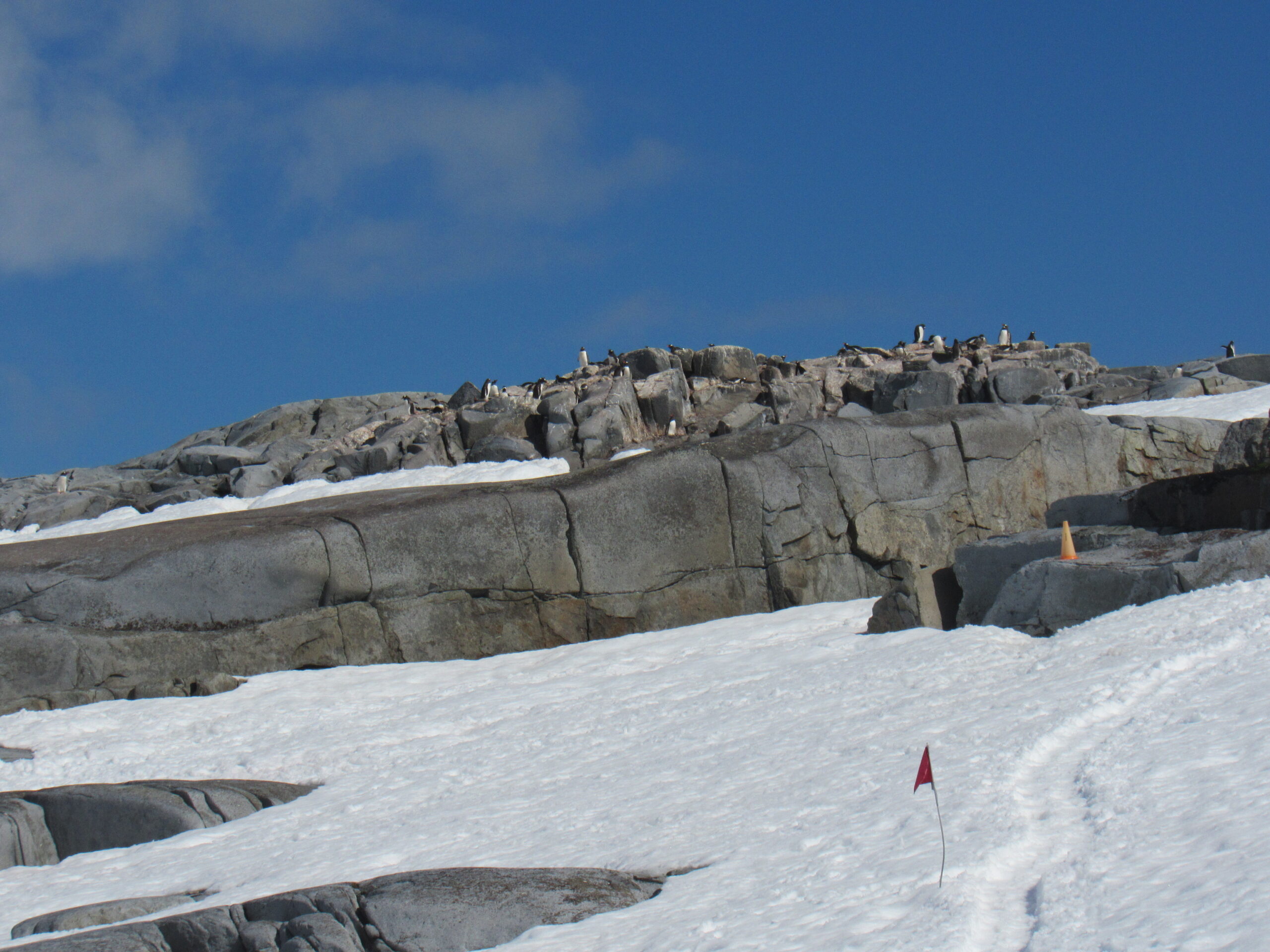
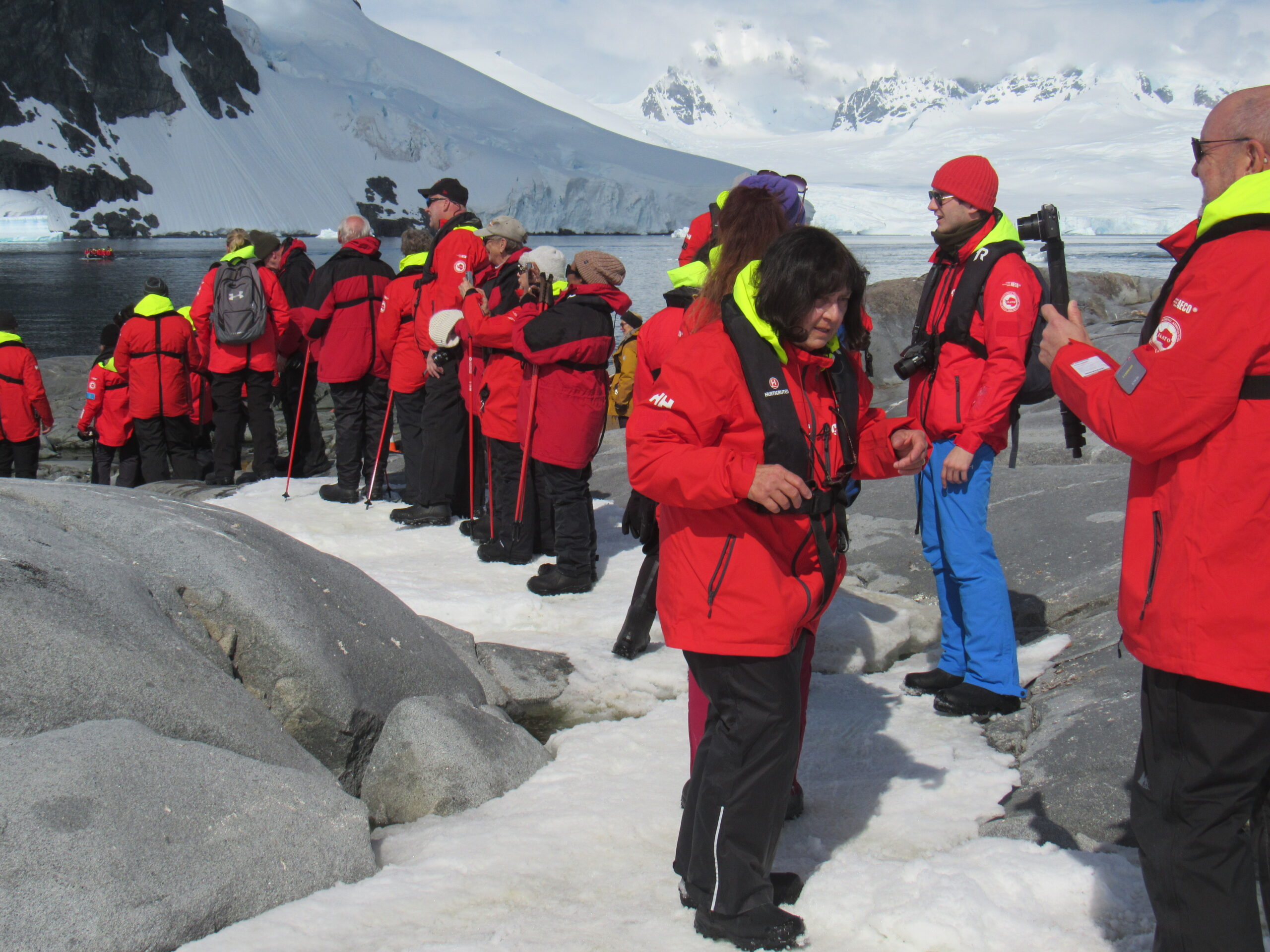
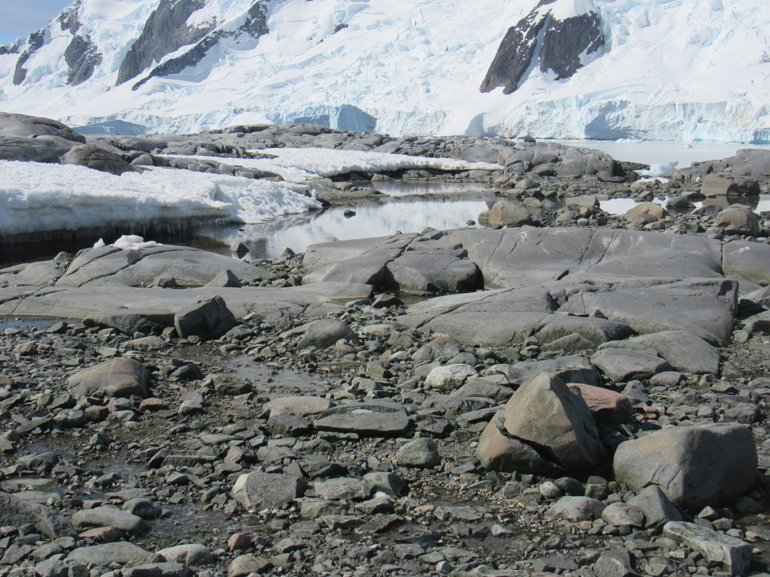
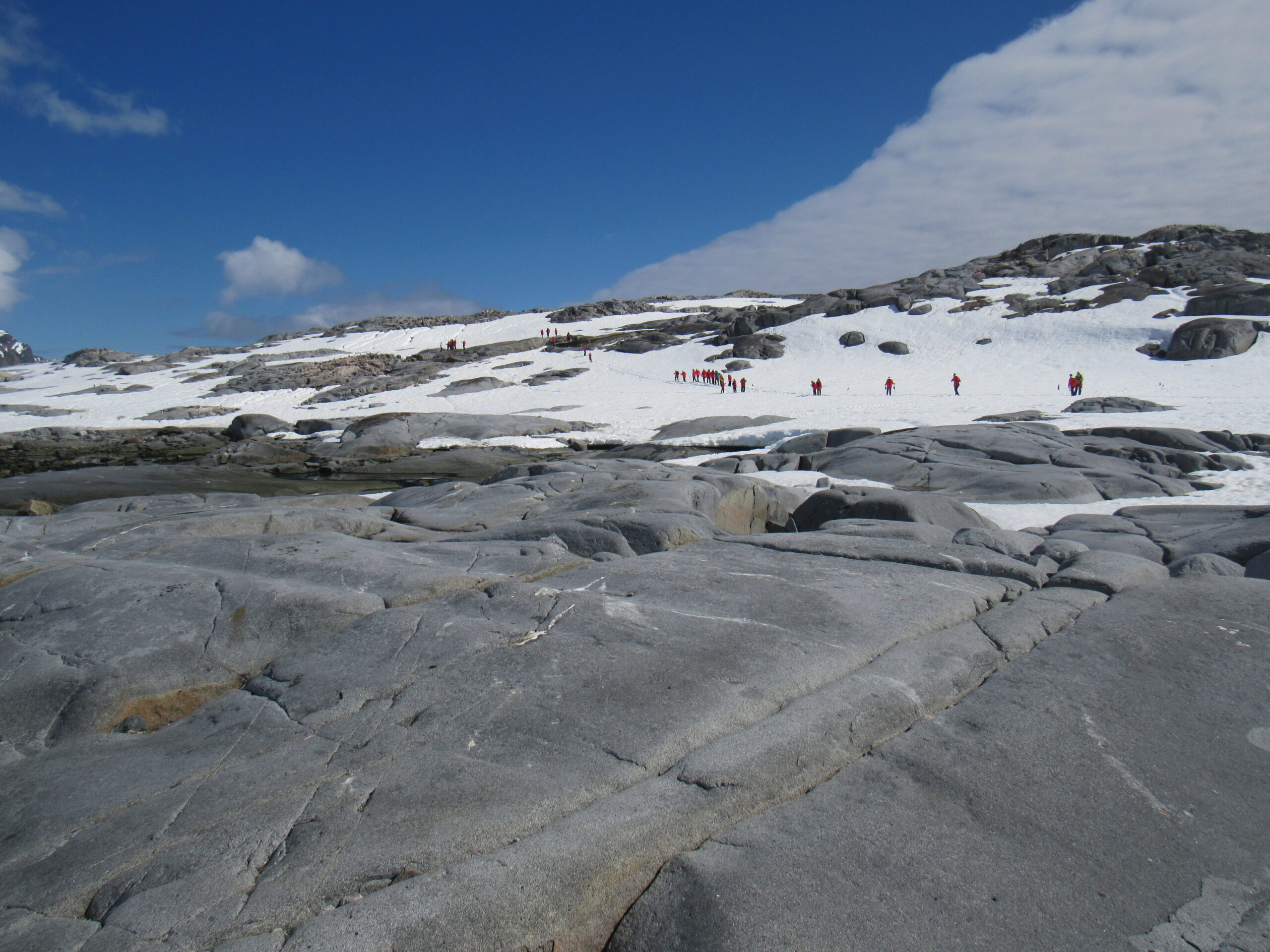
Here are some of my favorite photos that I took while on shore at Pléneau Island.
I’m also posting a video I took while on the island, which you can watch here:
I made it back to the ship and my cabin around 4:00 PM and had plenty of time to relax before a leisurely dinner. It had been a good day – Pléneau Island was a great place to spend time, with scenery that was over the top. Although we’ve only set foot on the actual continent one time, at Red Rock Ridge, that doesn’t seem to matter when it comes to getting an eyeful of scenery. All of these islands that lie along the west coast of the Antarctic Peninsula are beyond amazing, with mountains and glaciers that don’t take a second fiddle to anyplace.
Stay tuned for the next installment of our story, Chapter 8.

