
A few years ago, I got to thinking about the Tortolita Mountains, a familiar and friendly little range up to the northwest of Tucson, and wondered if there was anything there that I’d left unclimbed. Upon studying the maps, my attention was drawn to a pair of peaks a bit to the east of the center of the range which were shown as “soft summits”. Shown where, you might well ask? On the excellent climber’s website known as Lists of John, that’s where. Do yourself a favor and check it out.
A soft summit, in the parlance of peakbaggers, is one which, on topographic maps, may or may not have the required 300 feet of prominence we like to see to make it a “hard summit”. Perhaps there is a lack of spot elevations or other good survey information enough to give it that 300 feet for sure, but at the same time, that same lack of information leaves open the door to having the 300 feet if more accurate information were to come to light. In other words, it’s close enough to give the peak a “definite maybe”.
In recent years, a powerful new tool has been introduced, one which can be applied to mountainous country to give a more accurate rendering of actual elevations. It is called LIDAR, which is short for “light detection and ranging”. In most cases, an airplane flies over an area and uses laser pulses to create an accurate image of the ground below, which can show very detailed differences in elevation.
All my life, I’ve chased soft summits, my thinking being this – it might not be a hard summit, but it could just as easily be one, so until proven otherwise, I’ll consider it a valid peakbagging target. The 2 peaks I’d picked out were both pretty substantial, at around 4,500 feet elevation, and they were in fact the only soft summits in the entire range.
It was a fine morning in early October when I laced up my boots and headed out to climb them. I drove north on State Highway 79 up to the town of Catalina, then headed west into the desert on what the maps called Edwin Road. This dirt track took me 5 1/2 miles towards the range, en route passing several named, dry watercourses: Big Wash; Chirreon Wash; Sahuarita Wash; Batamote Wash; Indian Well Wash; Indian Town Wash. Finally, near Indian Town Reservoir and Crow Windmill, I came to a locked gate.
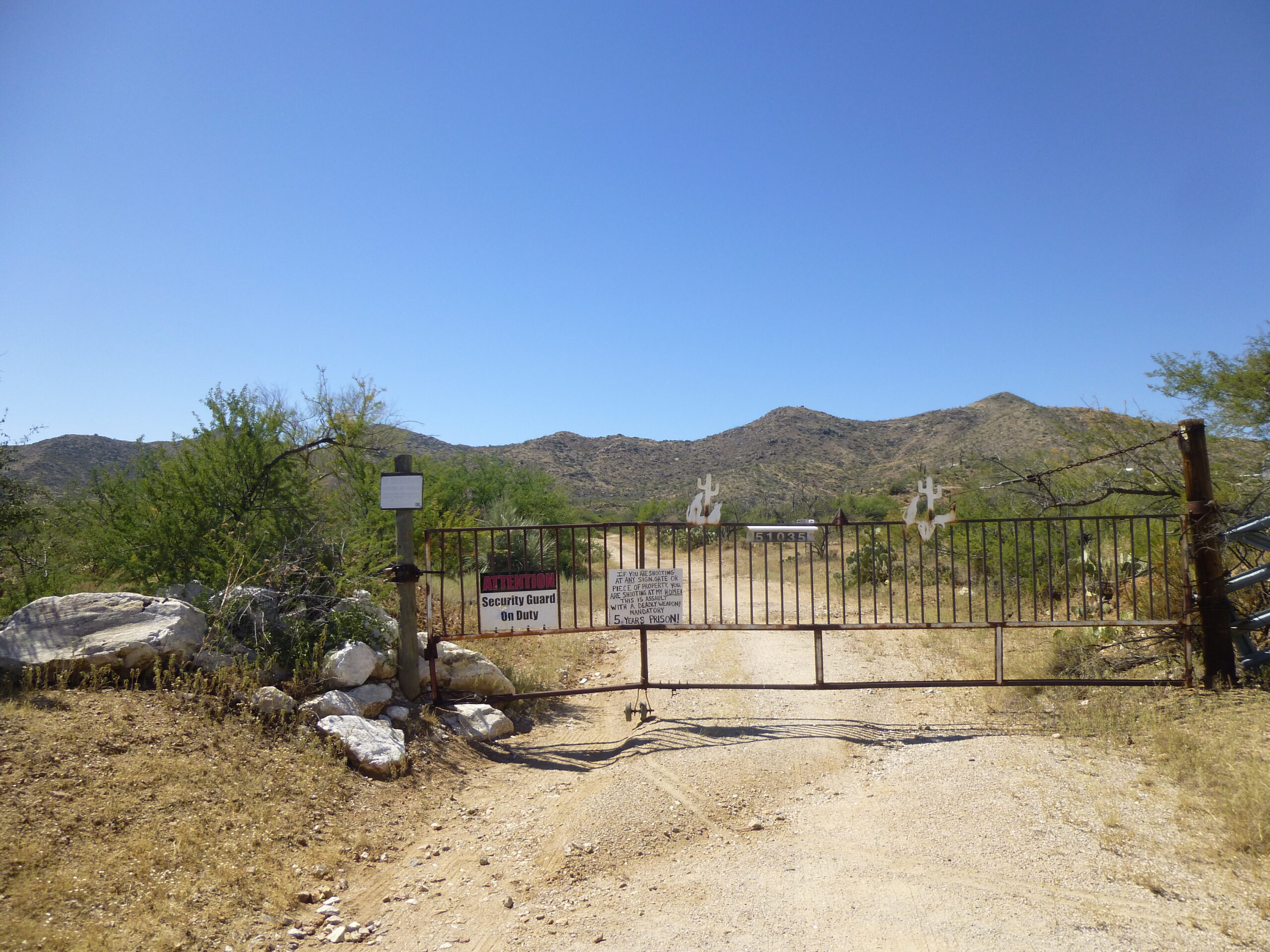
The miner’s gate
Here’s a closer look at the signage.
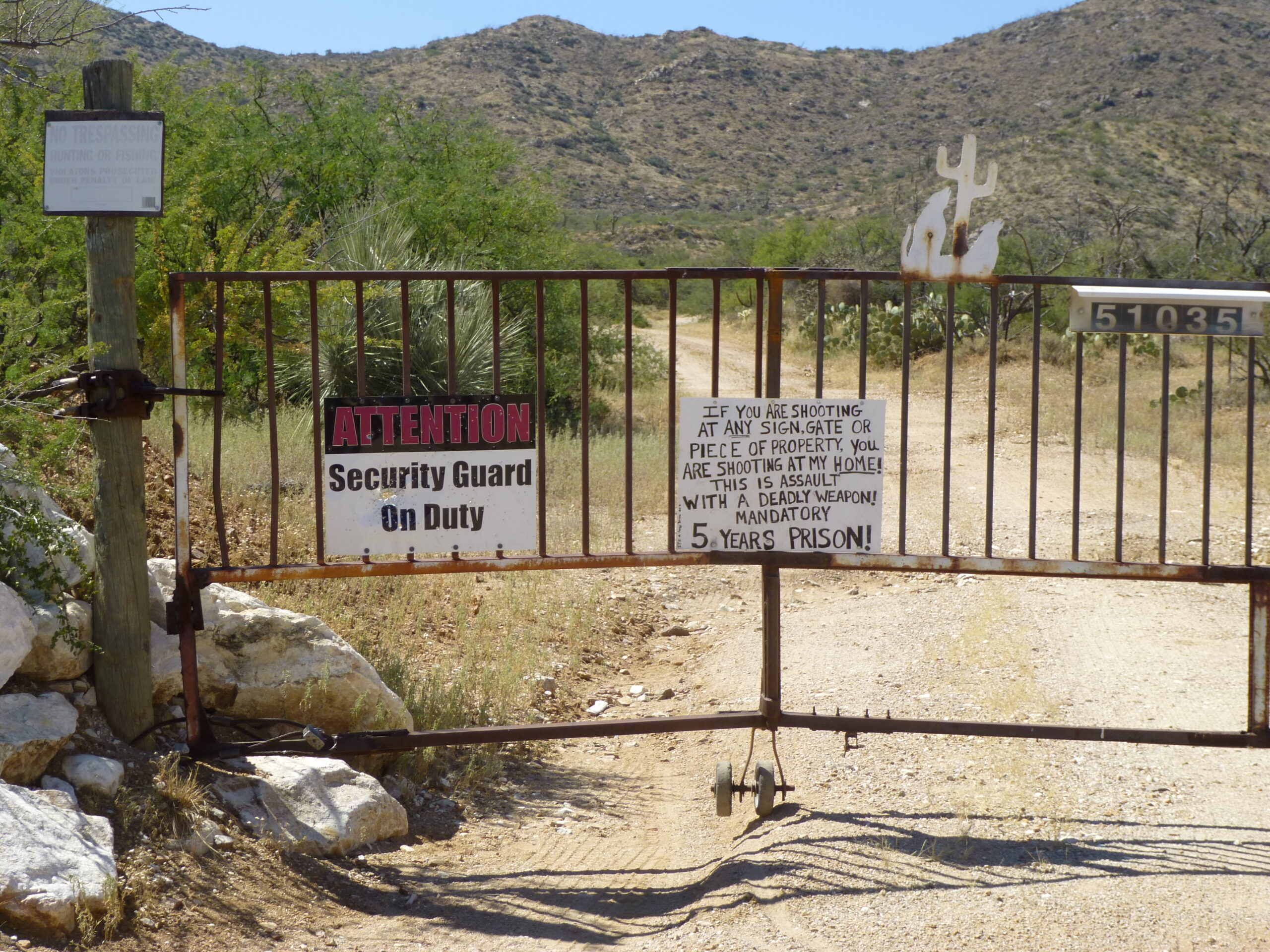
The signs
It certainly looked like someone was living in there, at least by the threatening signage. The old mine presents a visible light-colored scar on the mountainside from many a vantage point east of the range. I was able to pull up this bit of information on the internet:
White marble quarried and processed for use as veneer and decorative stone, plaster sand and animal feed additive.
Owner/Operator ………………………………….. Darell Goode
I also found this, which indicated that the mine was inoperative back in 2005. Perhaps it had been re-occupied since then (my trip took place in 2017).
03/16/05-WDS Catalina Marble Mine. Trip to Catalina Marble Mine with Doug Woolsey of Henderson Materials Company. Visited the mine in the AM. A 5-mile unpaved road led from Oracle Road west to the site. The road had numerous ruts and gullies due to recent rains. A wash approximately 200 feet wide was crossed on the way to the mine. This wash would be impassible during heavy runoff events. No activity or personnel on site. Reportedly, the mine has not operated for over 8 years. Numerous pieces of mine/construction equipment were observed on site. The equipment had not been operated for at least several months and possible not in several years. A marble sand
bagging operation had been setup, but 4 pallets of bags were still wrapped on site and unused. The bags were beginning to deteriorate. A 5-screen stack was connected to a 15 x 28 jaw crusher and roller mill. The 5 screens produced sand, pea gravel (3/8 inch), 3/4 inch, 1 to 2 inch and 3-inch material. A 35-ton Euclid haul truck, Gallion motor grader, Case Excavator, CAT 966C loader, and track-mounted drill with associated air compressor were observed on site. Most of the tires on the equipment were flat or in
need of air. All the tracks and blades were covered with ruts. A pedestrian tour of the “pit” showed that the previous operators had apparently high-graded the mine in search of white marble. There were at least 5 working faces and fairly steep material banks. Several of the benches had been mined away and most of the exposed faces had silica or other veins/staining visible. Recent rains had eroded the haul roads and left 2-foot deep gullies.
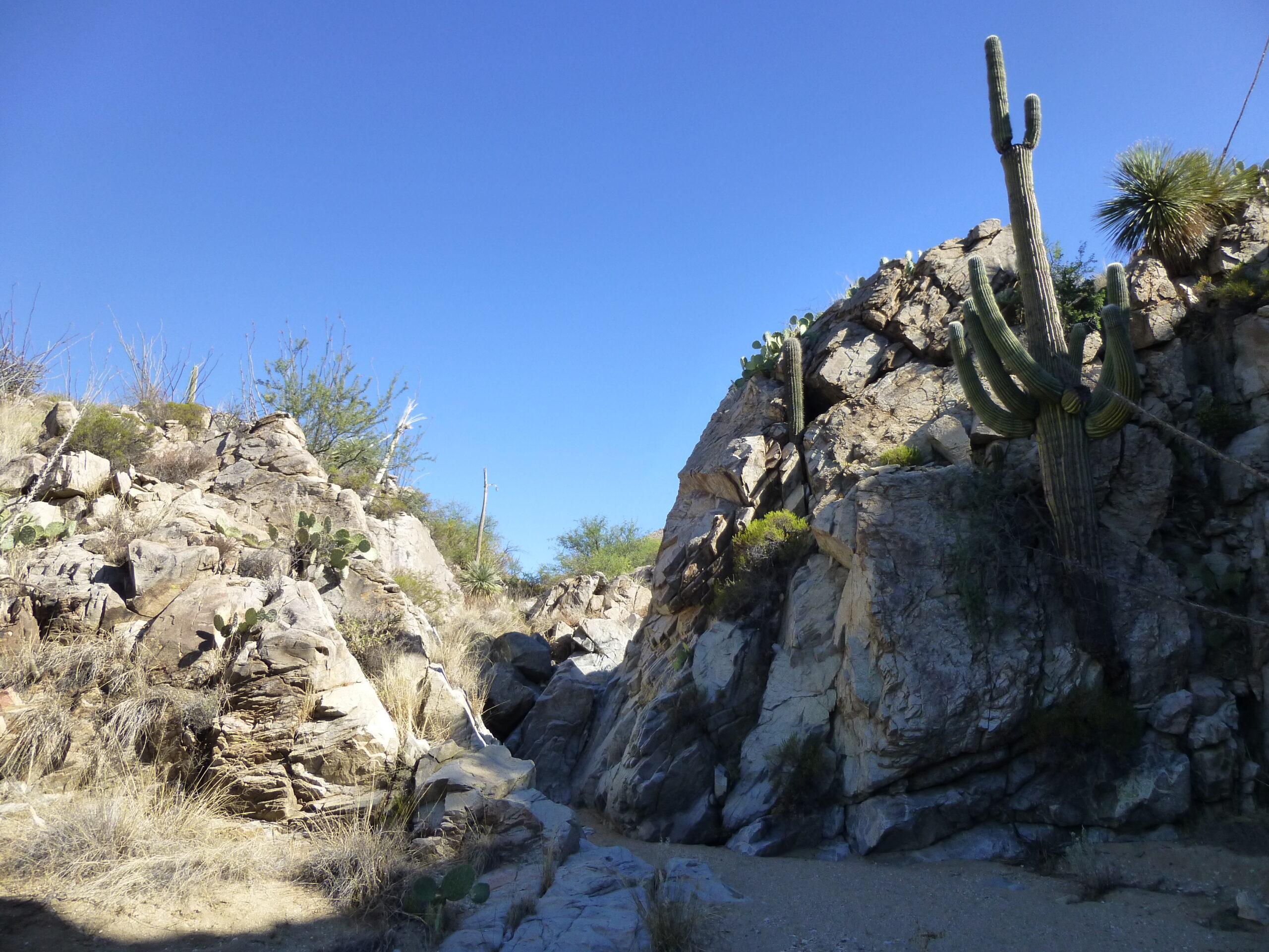
The mine was a curiosity but had nothing to do with today’s climbs. I backtracked down the road a bit, and turned southwest down a lesser track near Crow Windmill. It was rougher but I could still easily follow it, and was able to go about a mile and a half before it came time to stop and park. The reason for stopping was this sign:
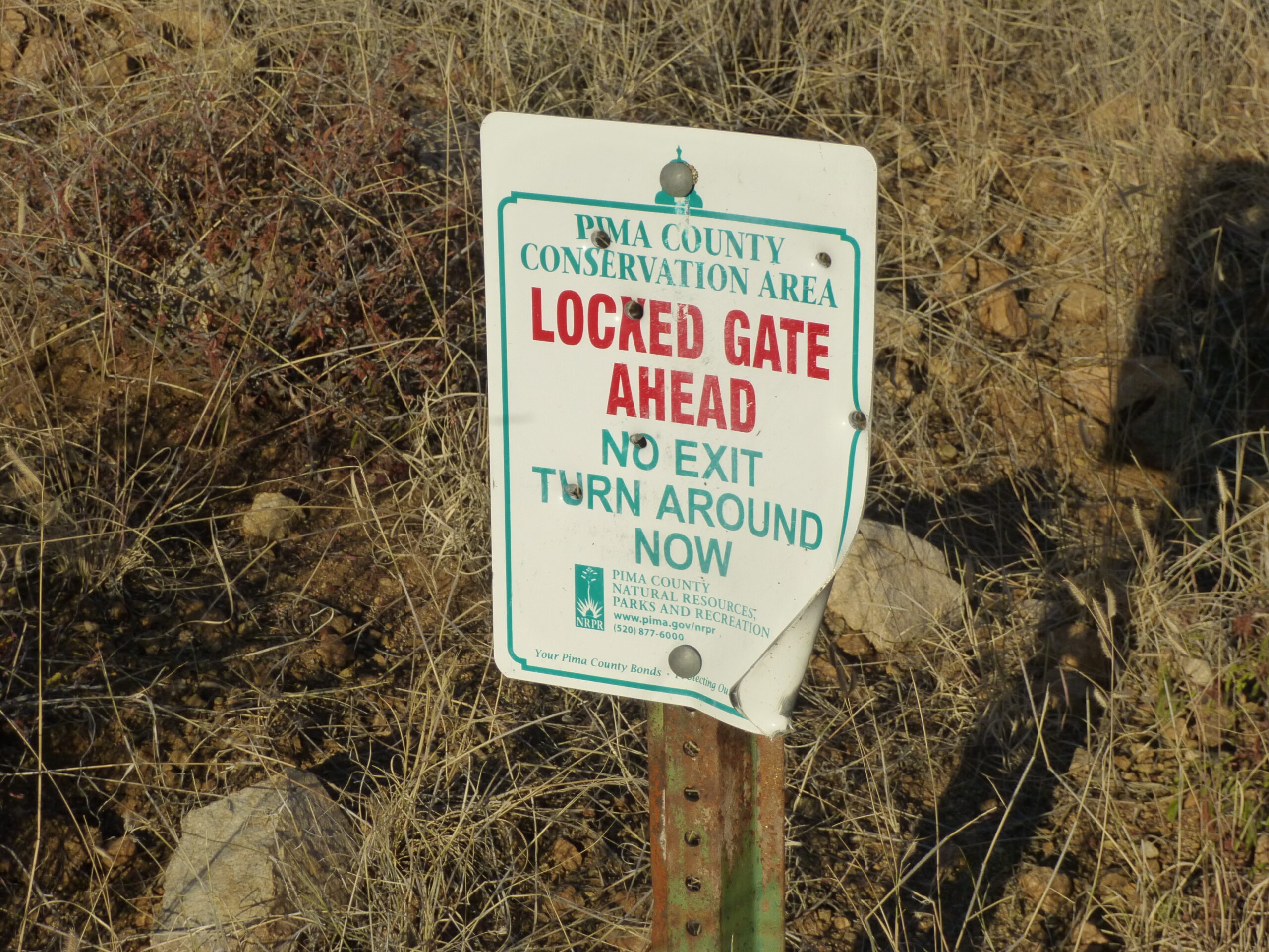
The warning sign.
Not being one to trust every sign, I walked the road for a bit to see what awaited. The sign was right – have a look at these next photos. This first one shows where I parked at 3,840 feet elevation.
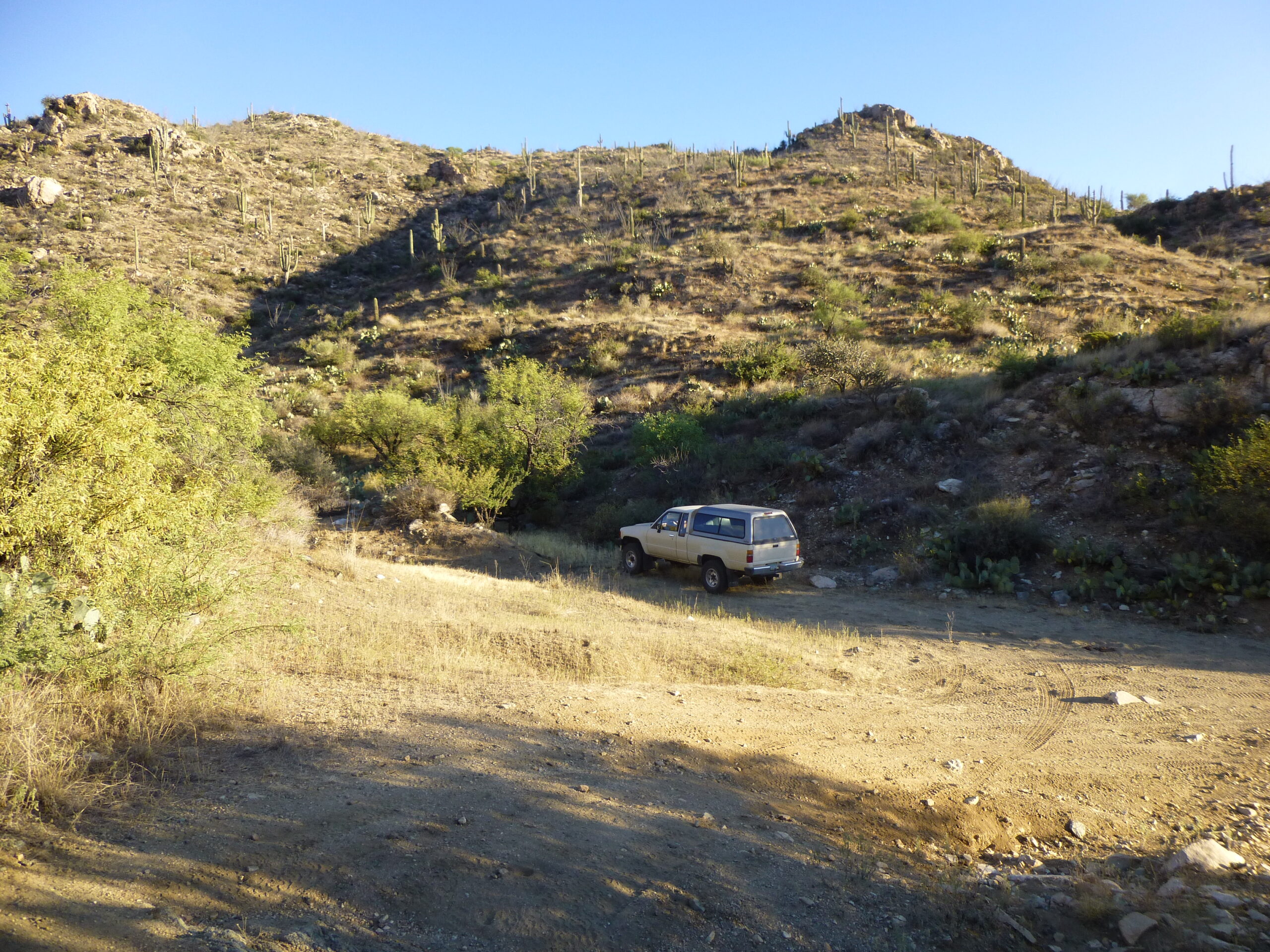
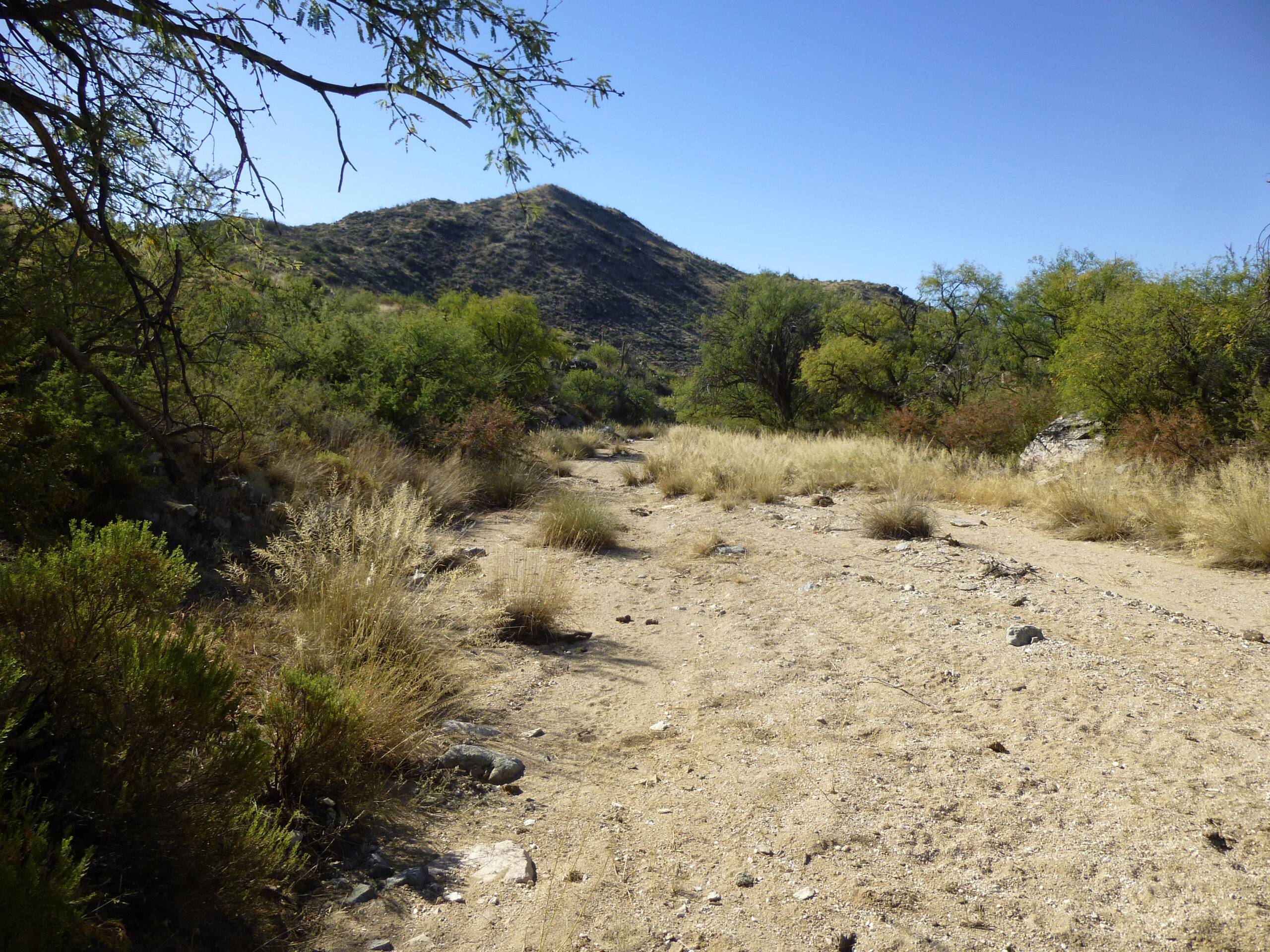
I left the truck here and started on foot at 7:12 AM
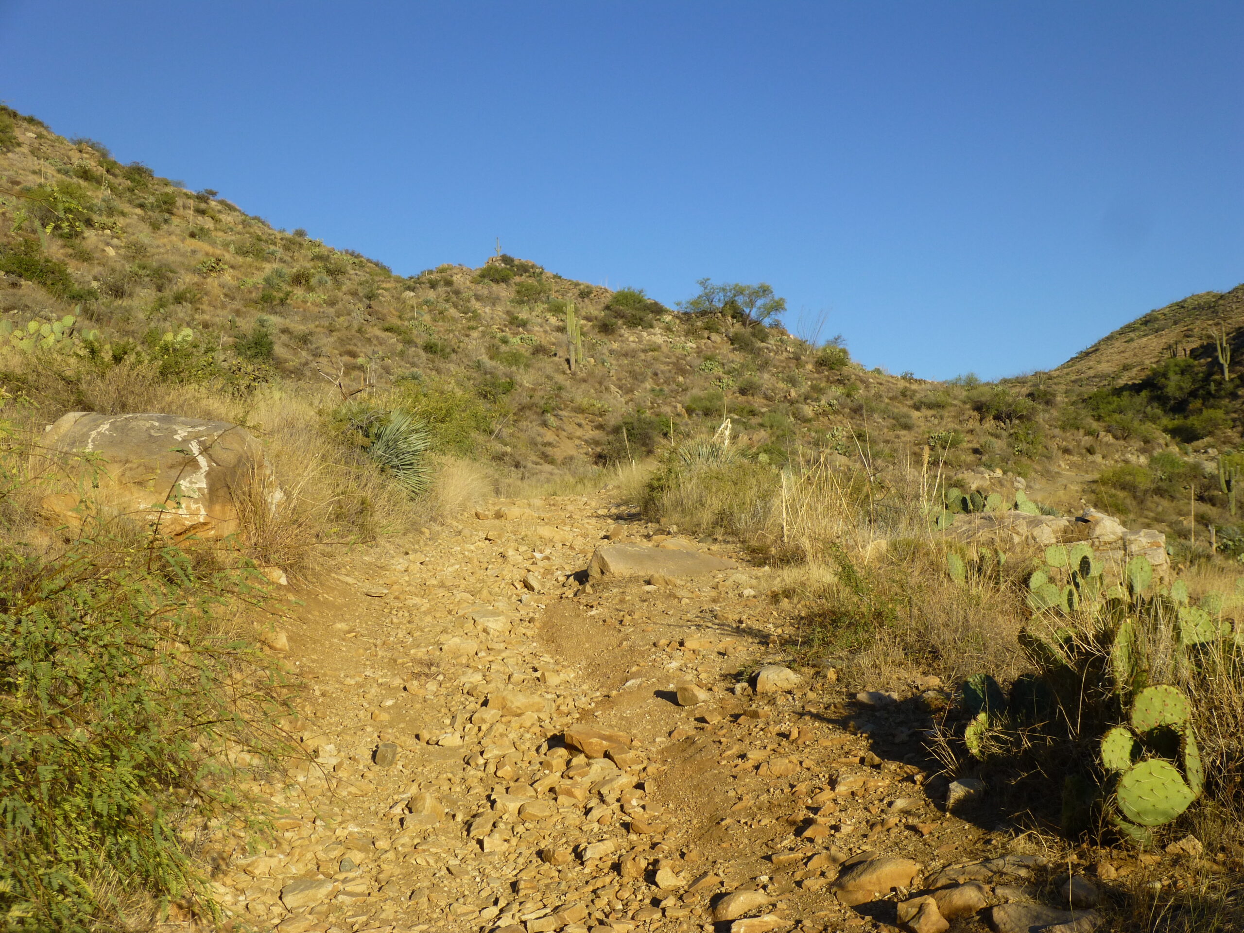
Here is how the road started out, not bad at all. See it on the left?
The start of the road
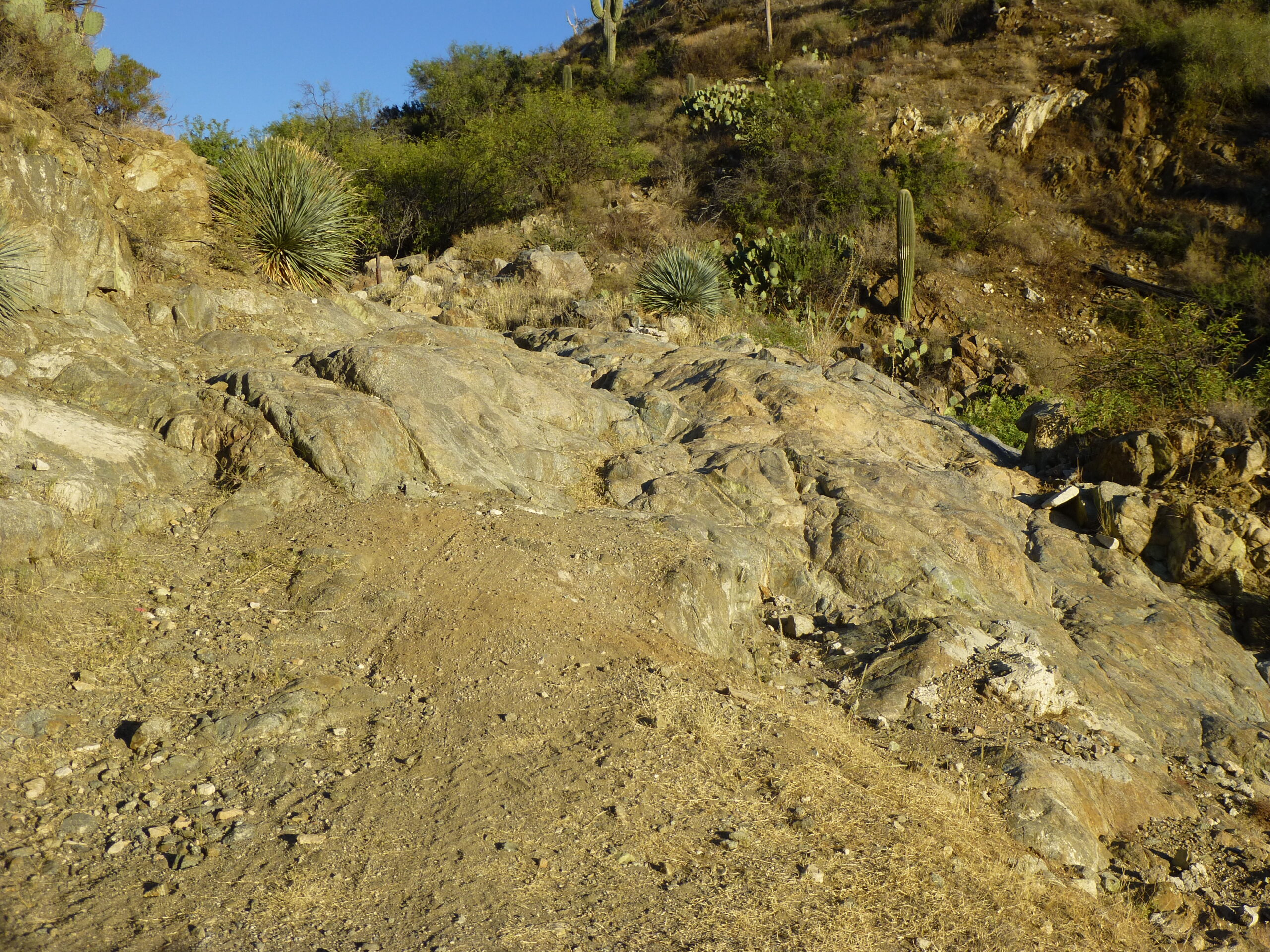
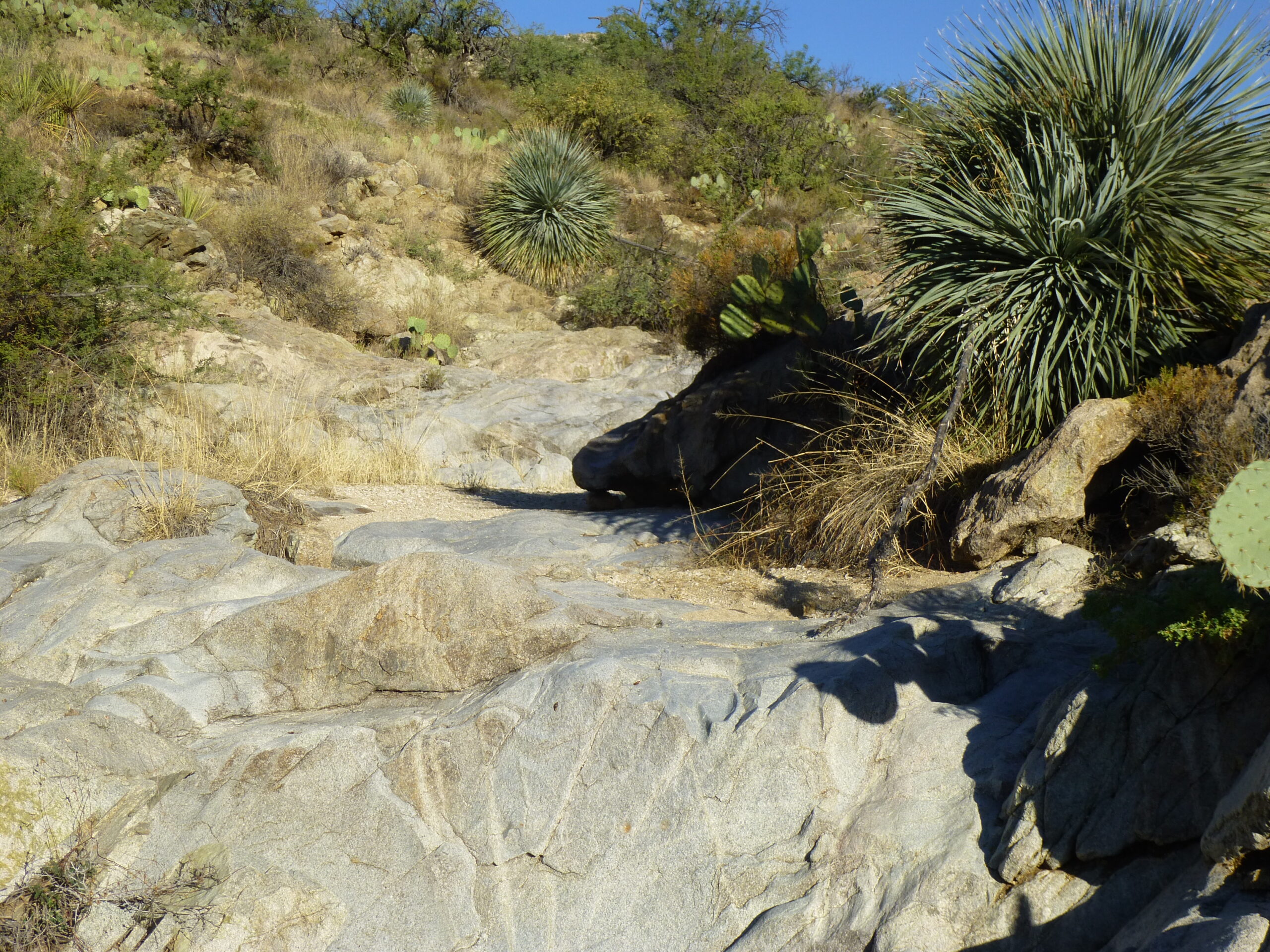
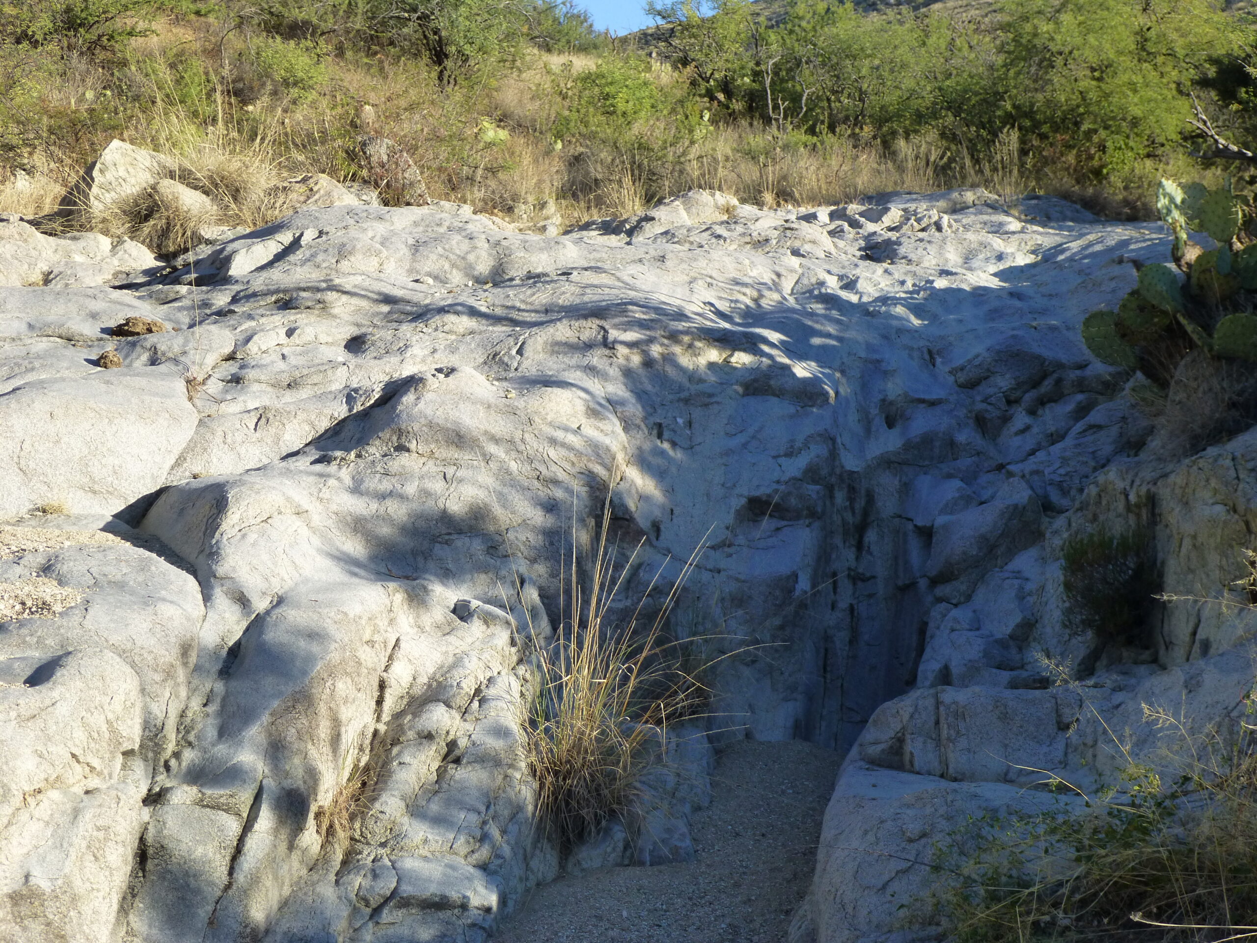
Before too long, it got rougher.
Getting rougher.
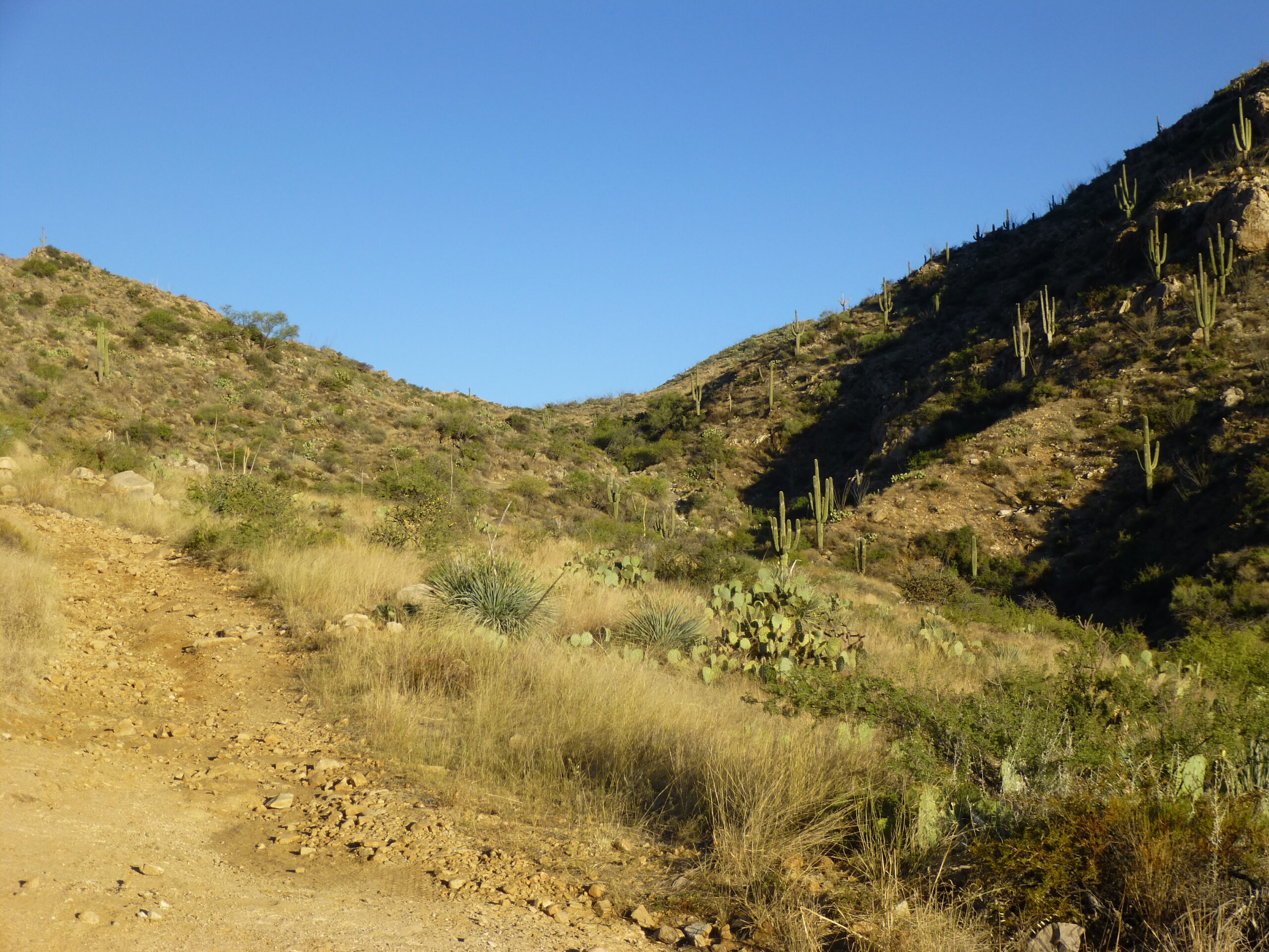
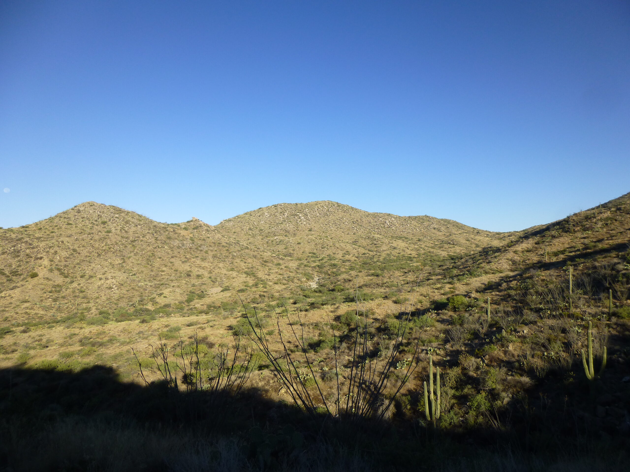
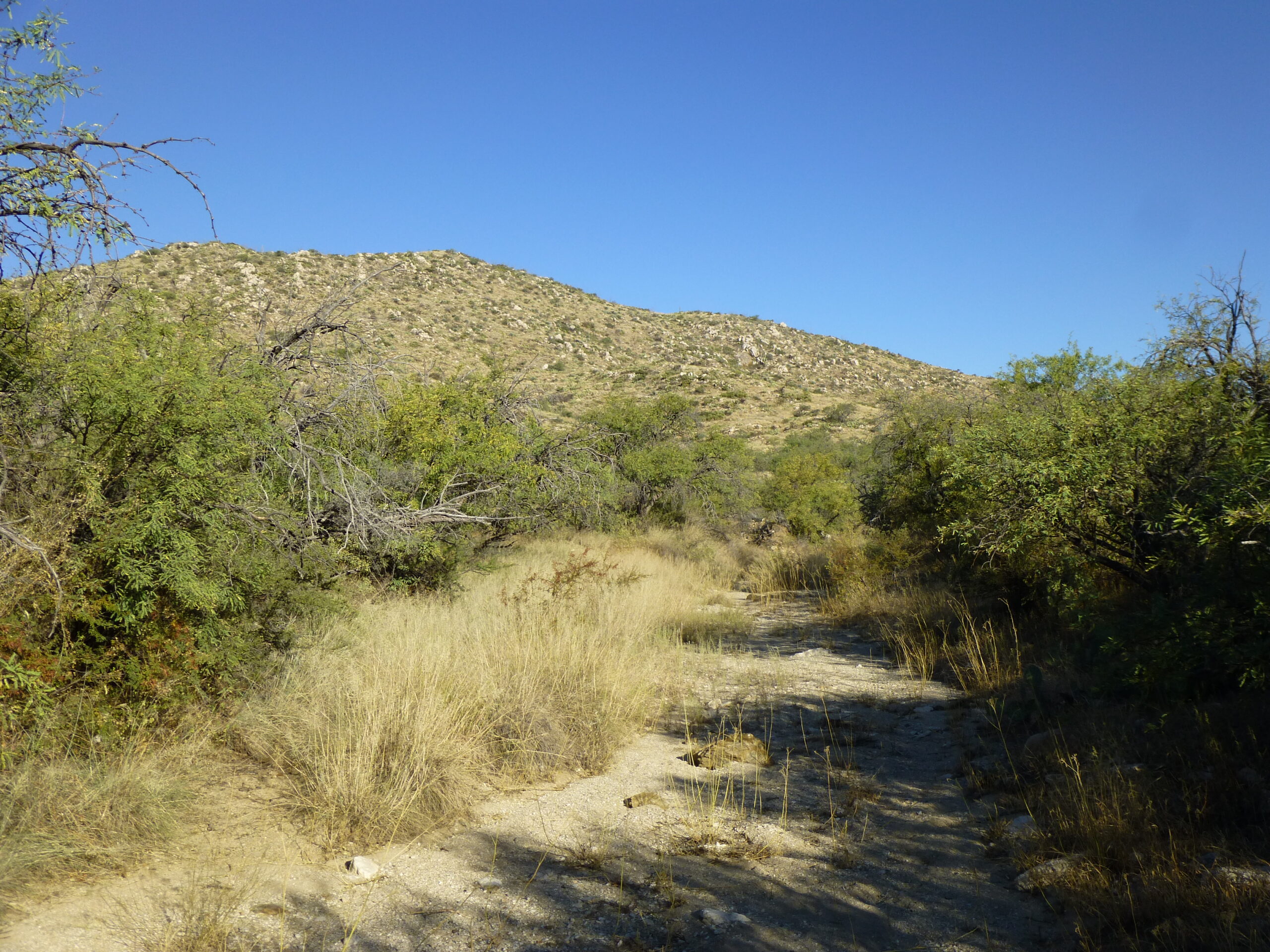
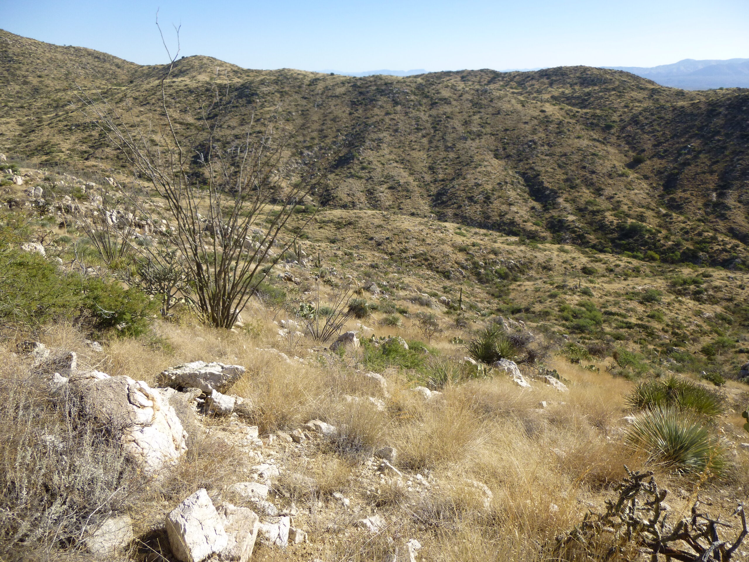
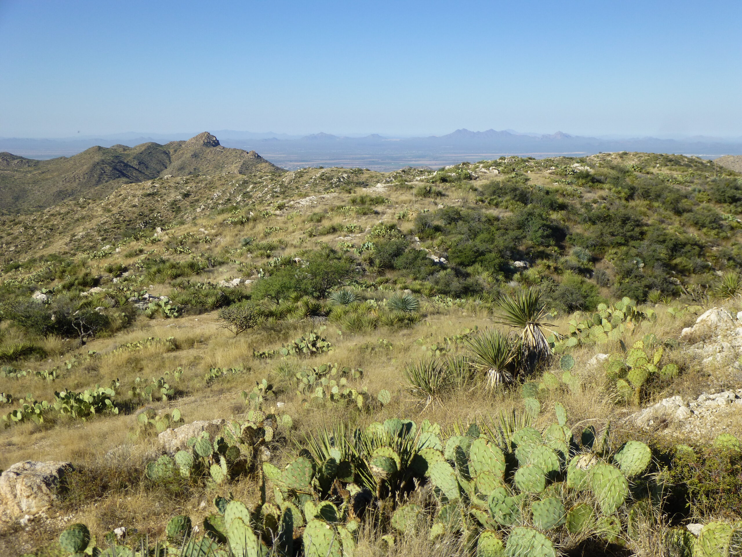
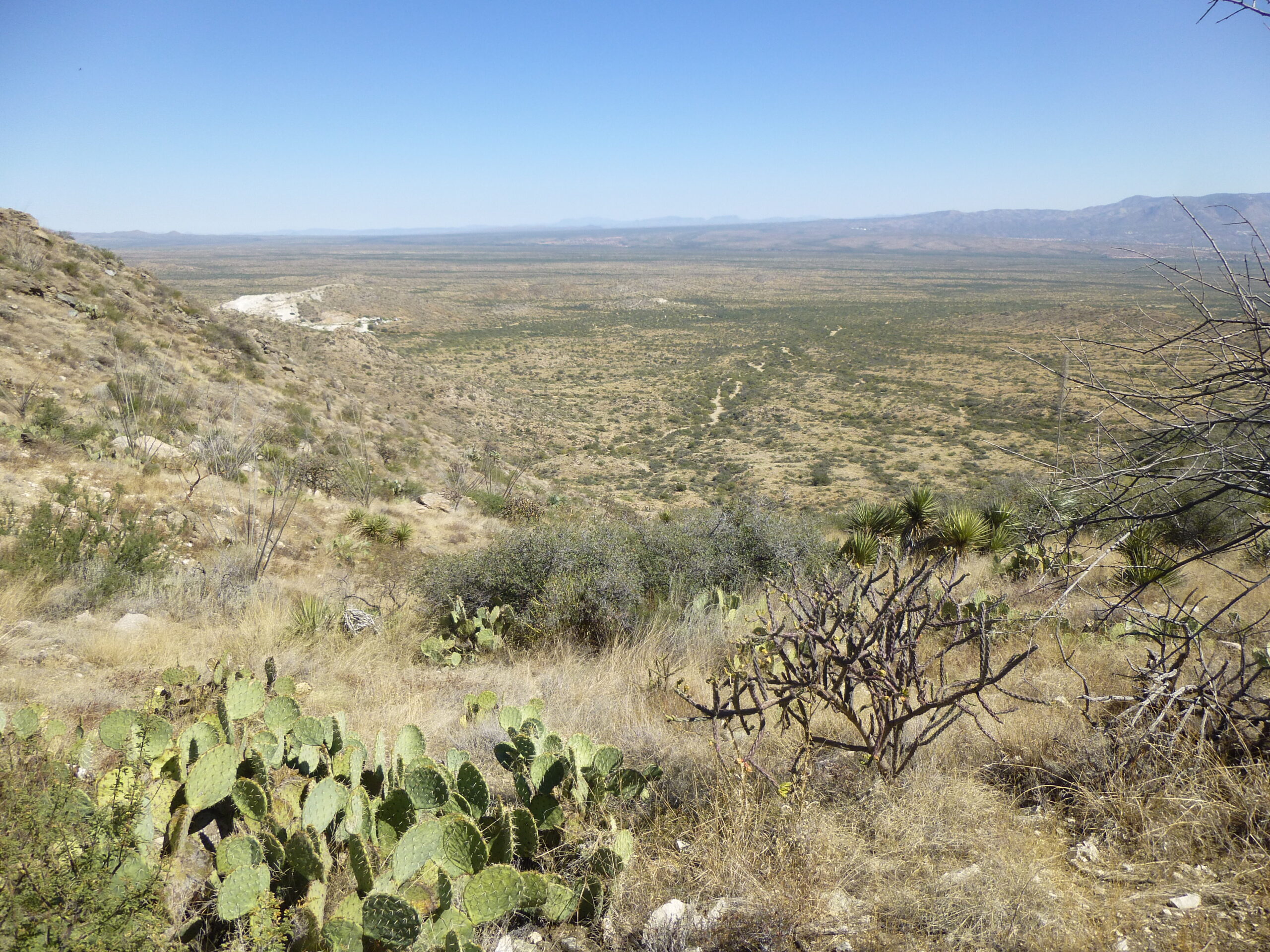
The scenery was nice, though.
A desert vista.
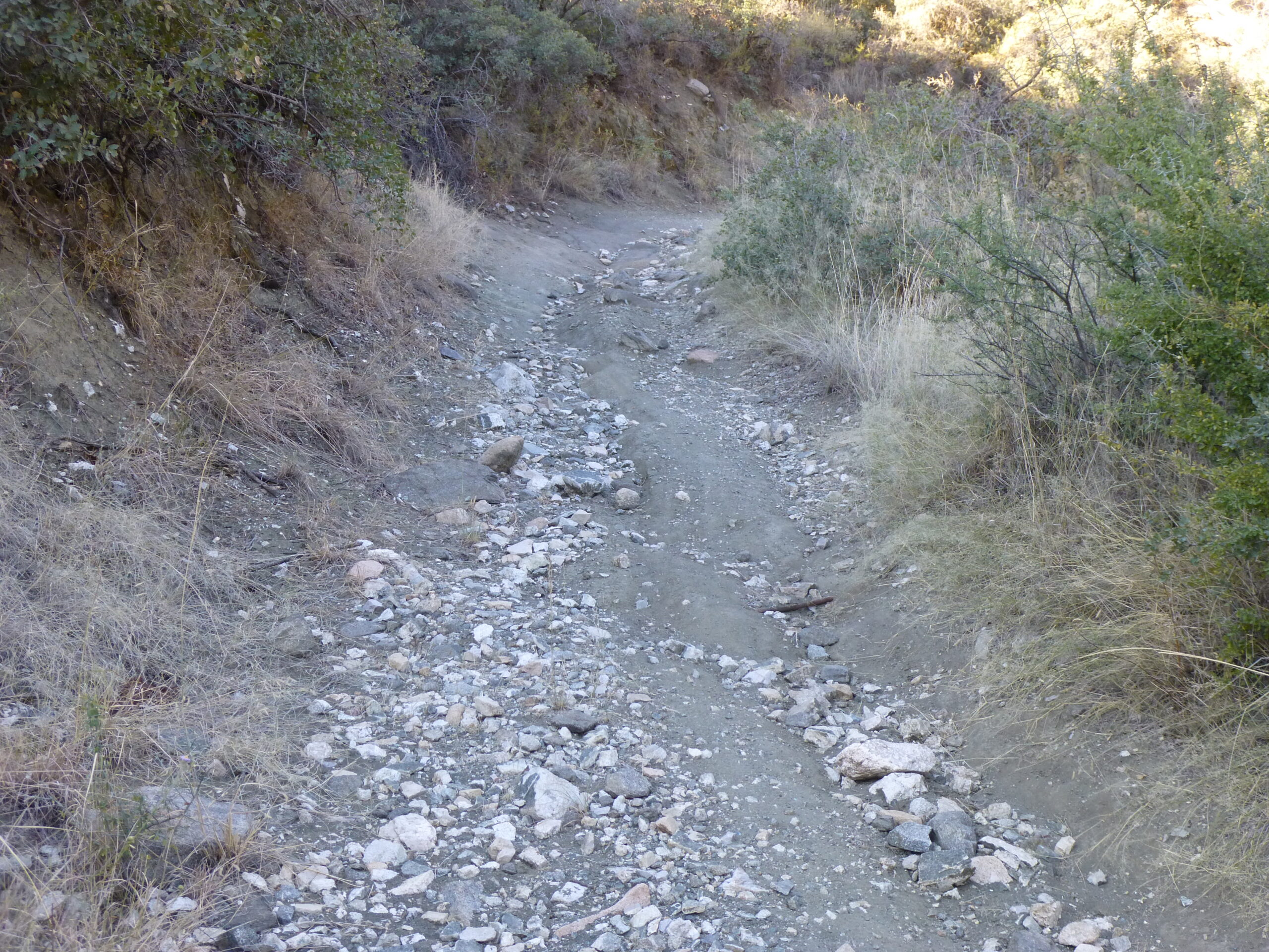
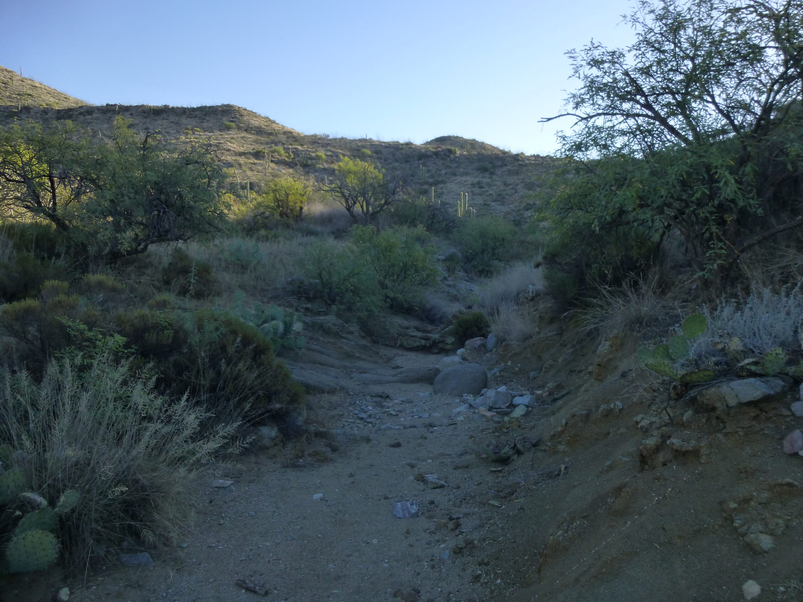
Then, only 7 minutes after starting out, I came to this. The old road surface was gone, eroded down to bedrock. It got worse just beyond.
Gone to hell in a handbasket.
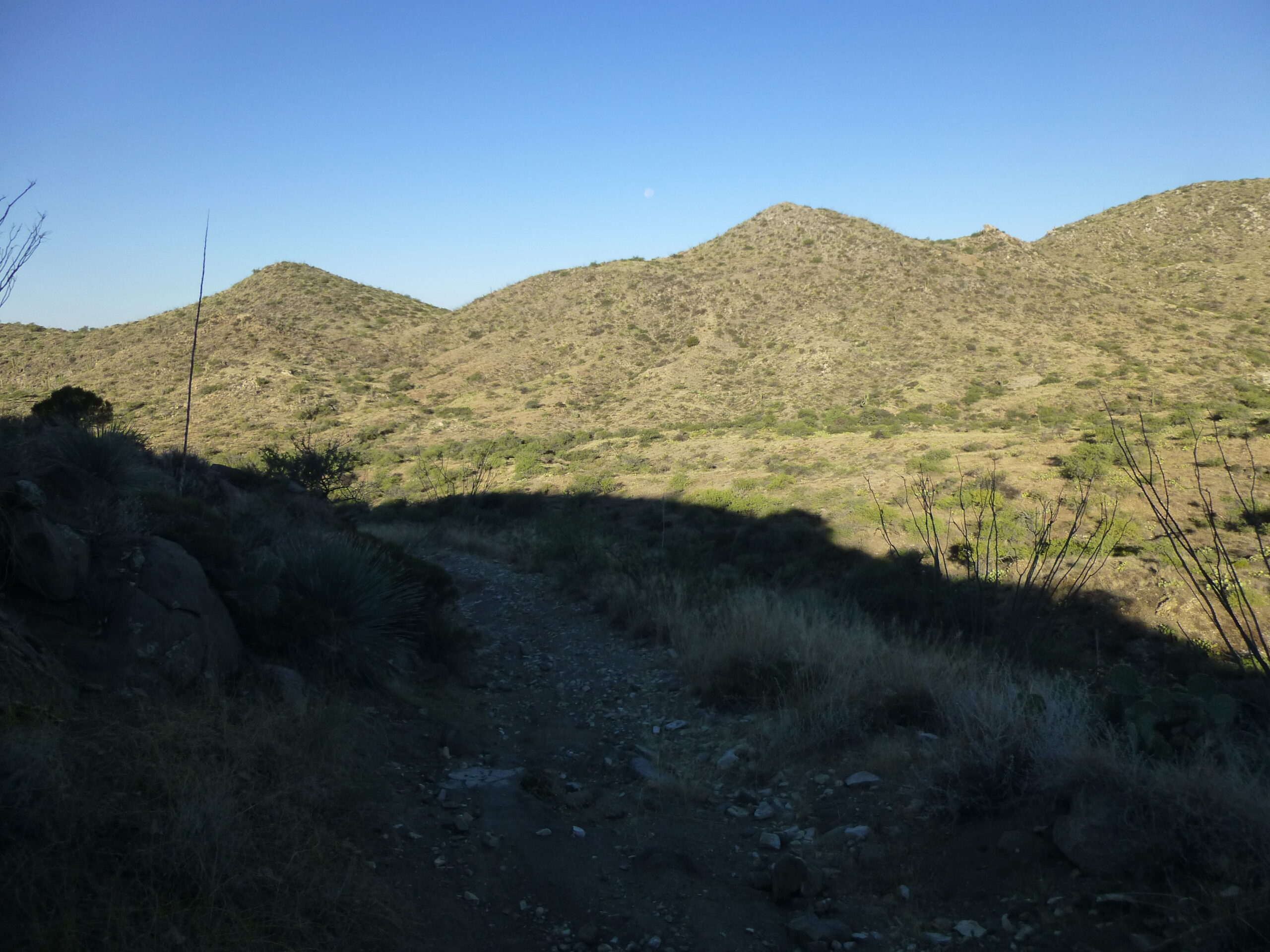
Only 18 minutes after leaving the truck, I arrived at a saddle at 4,140 feet and started down the road on the other side. It was easy going.
An easy walk down the old road, which hadn’t been driven for many years.
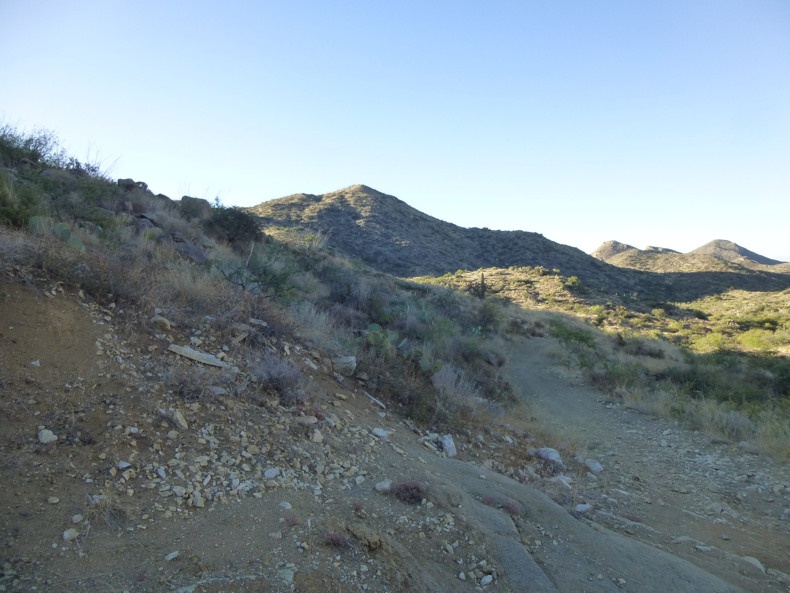
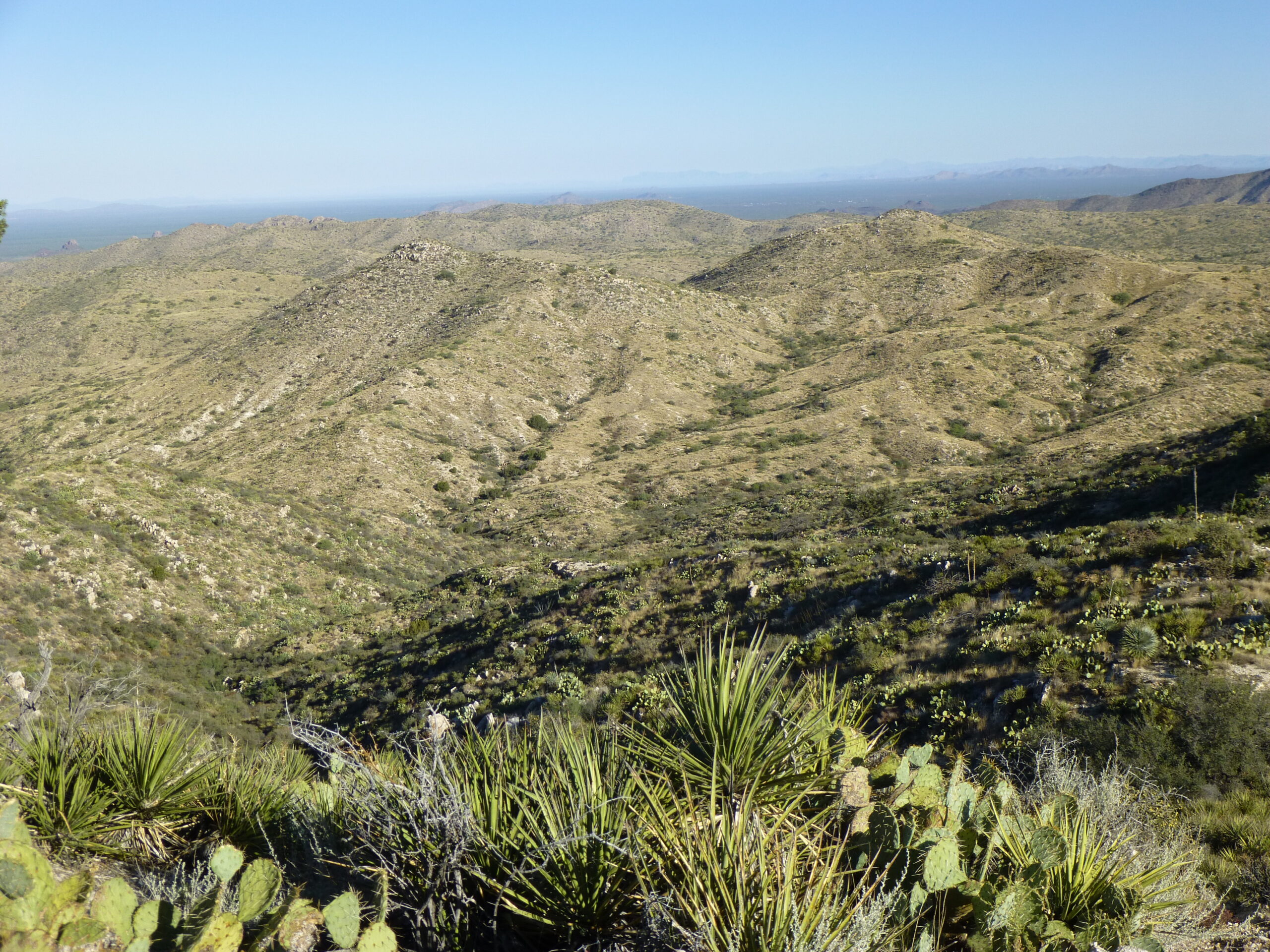
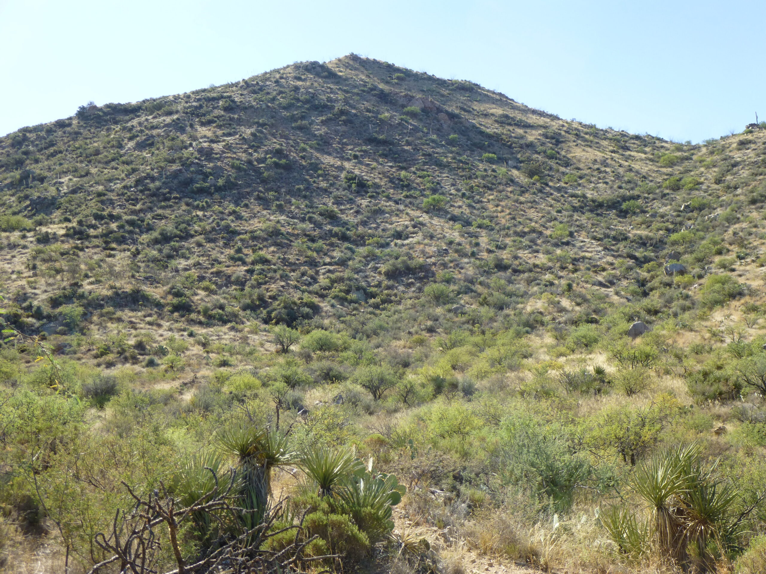
Then, only 25 minutes after having left the truck, I got this glimpse of my first peak of the day. It was Peak 4500, dead-center on the horizon in this photo and just under a mile away as the crow flies.
Peak 4500
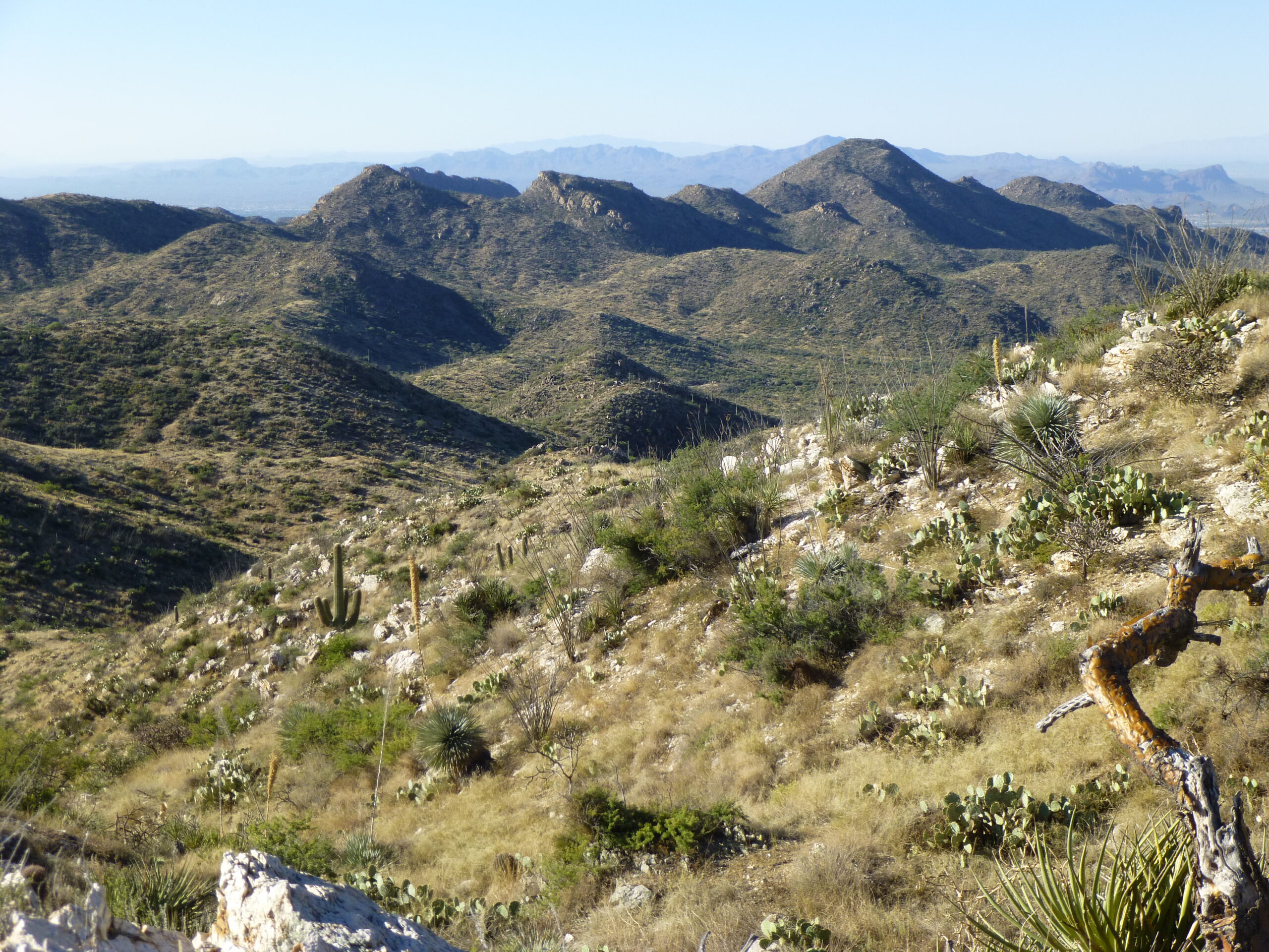
I followed the old road downhill for a couple of hundred feet, then left it and dropped down into the wash that was Wild Burro Canyon at around 3,960 feet elevation. Here was the view I had across the canyon of the peaks to the west.
Looking west.
To the left of the above photo was this one.
Looking southwest.
And this one, to the south.
Looking south.
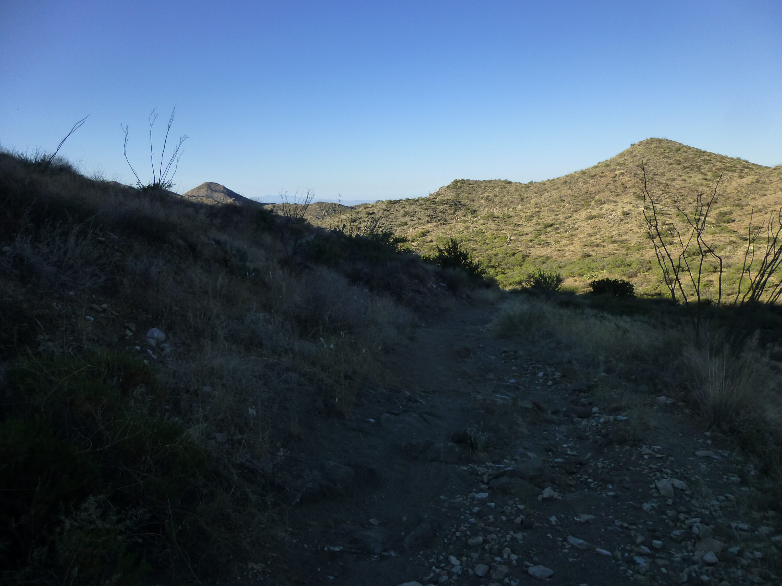
Once down in the wash, I headed north up Wild Burro Canyon.
Heading north.
Here in the desert, we would call this a waterfall, even though it’s dry 99% of the time.
A waterfall.
Here’s another along my path.
Another waterfall.
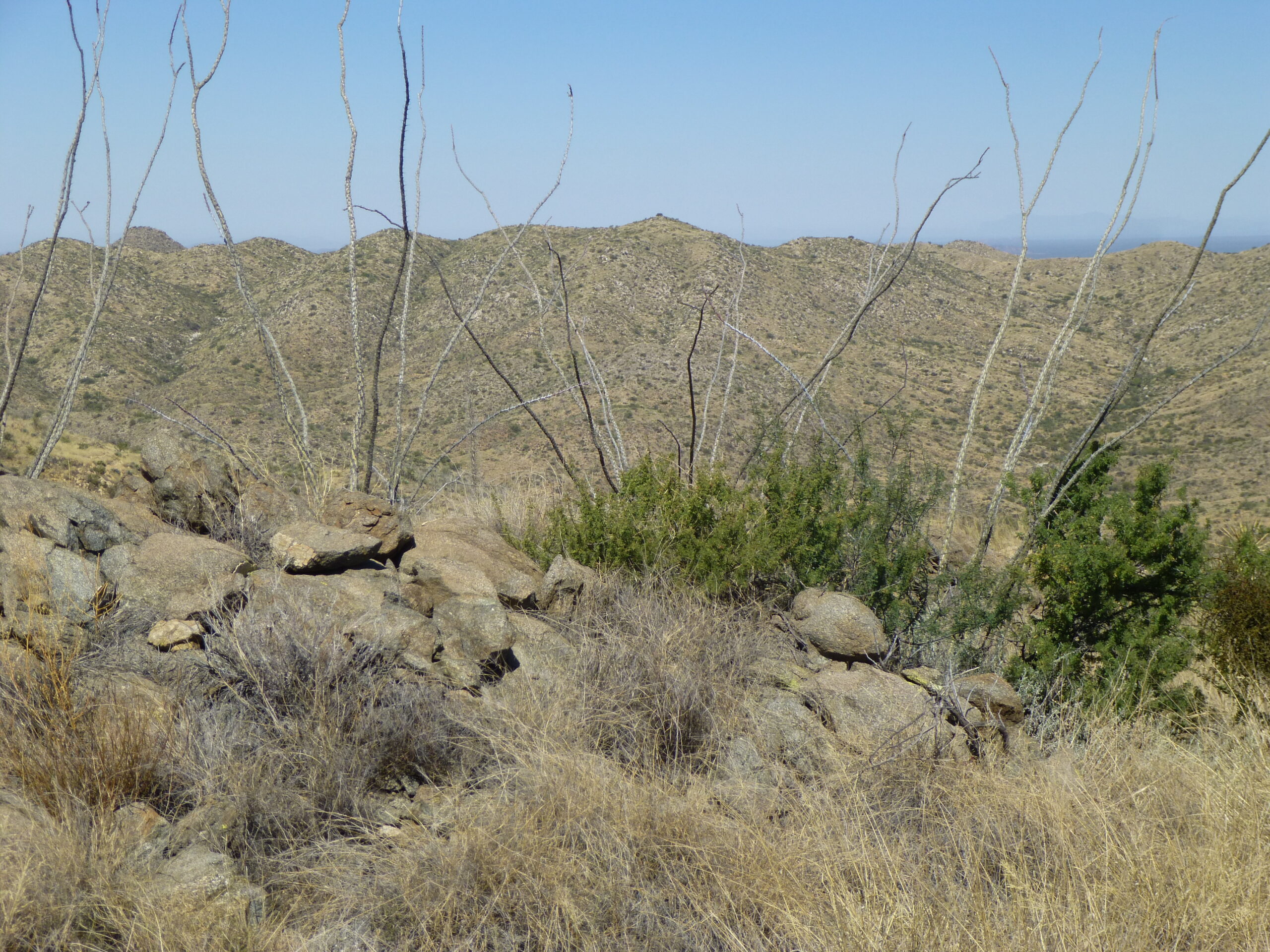
By about 7:55 AM, I was farther up the canyon and could see I was getting closer to my peak.
Getting closer.
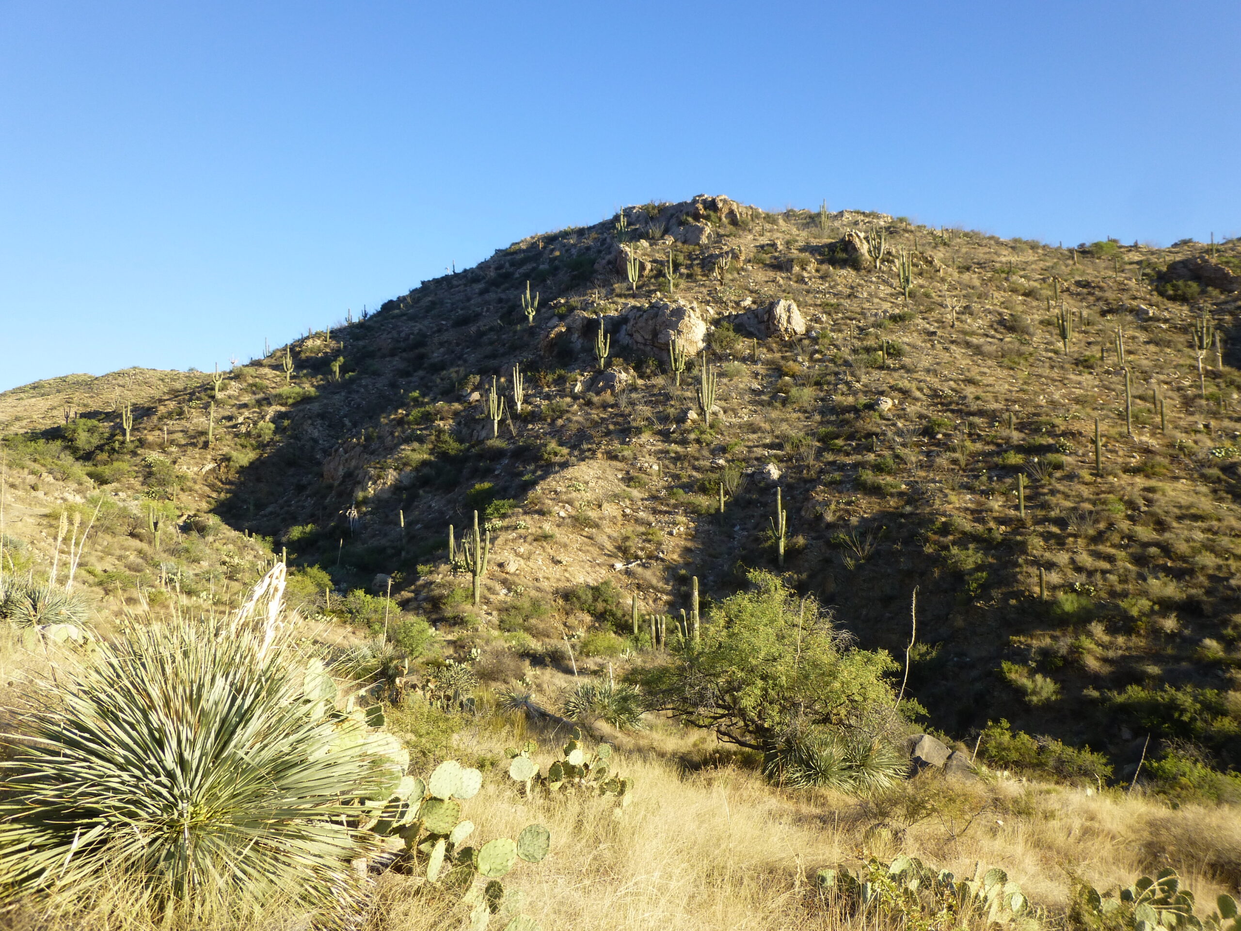
It was pretty easy going, not much of a bushwhack at all.
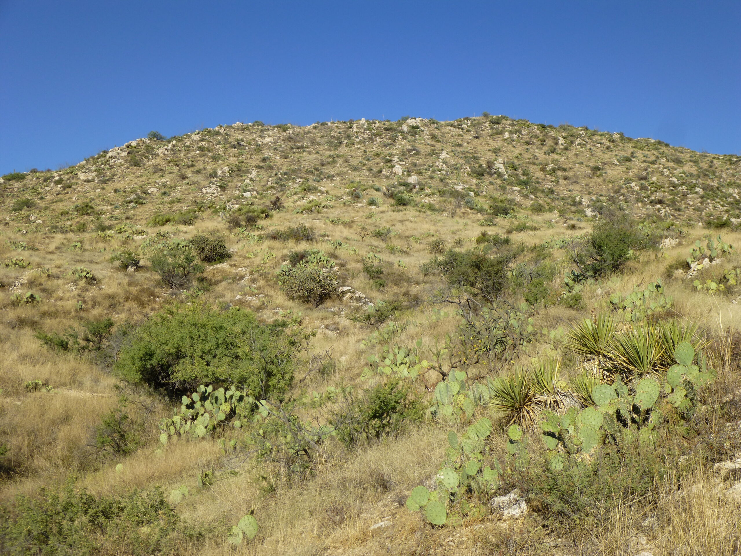
Looking up the southeast slope.
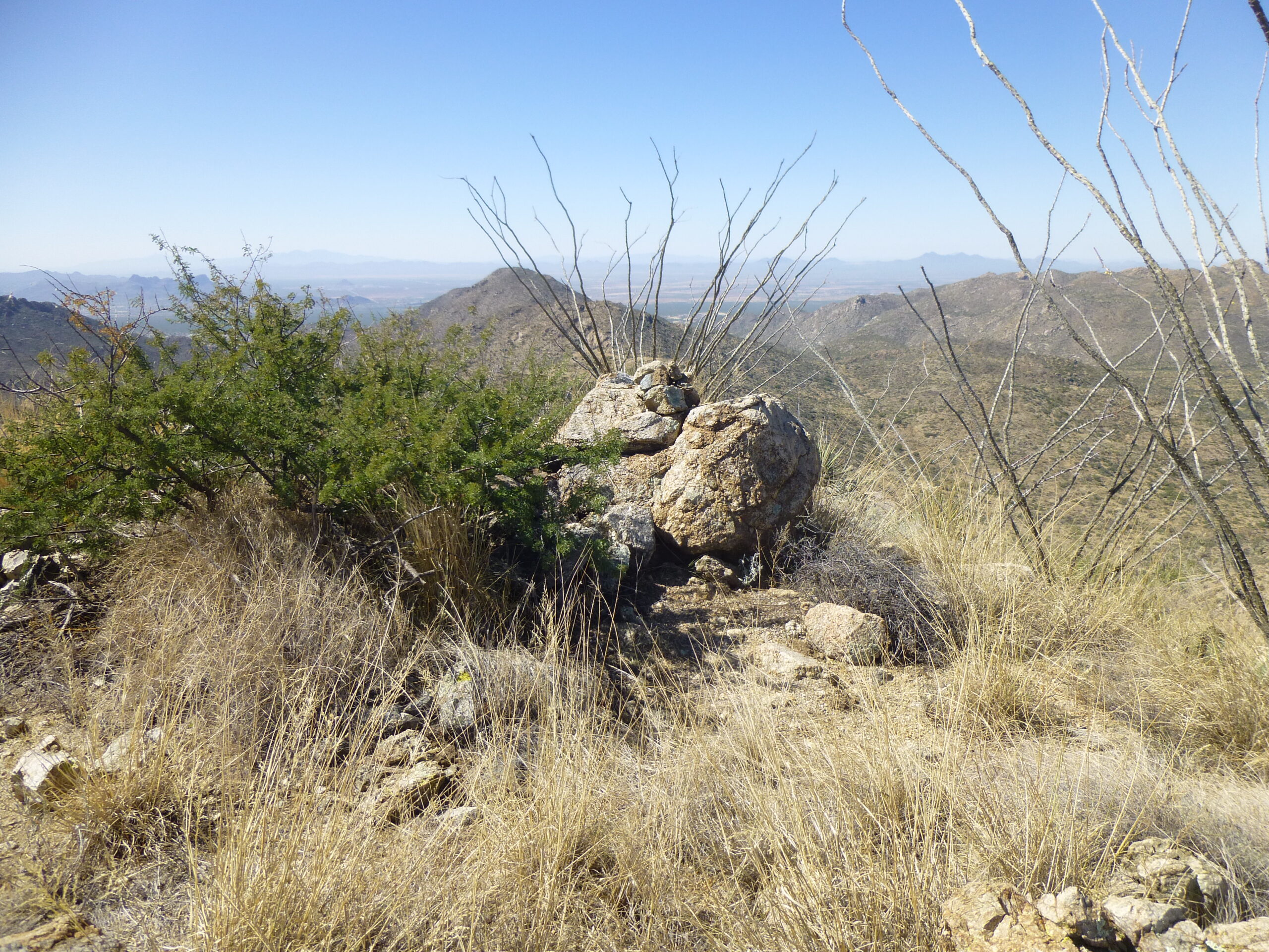
At around 4,000 feet I left the canyon and headed up the final slope, arriving on the summit just before 8:30 in the morning. Here’s a look at the summit of Peak 4500.
The summit.
This was a pretty lofty spot for the Tortolitas, and it shows by these photos I took from on high – pretty commanding views in every direction. The range high point, now called Jeffords Peak (we only knew it as Peak 4696 back in the day) sat just under a mile away at a bearing of 27 degrees. Between me and it were the sources of Bass Canyon to the west and Wild Burro Canyon to the east.
Jeffords Peak
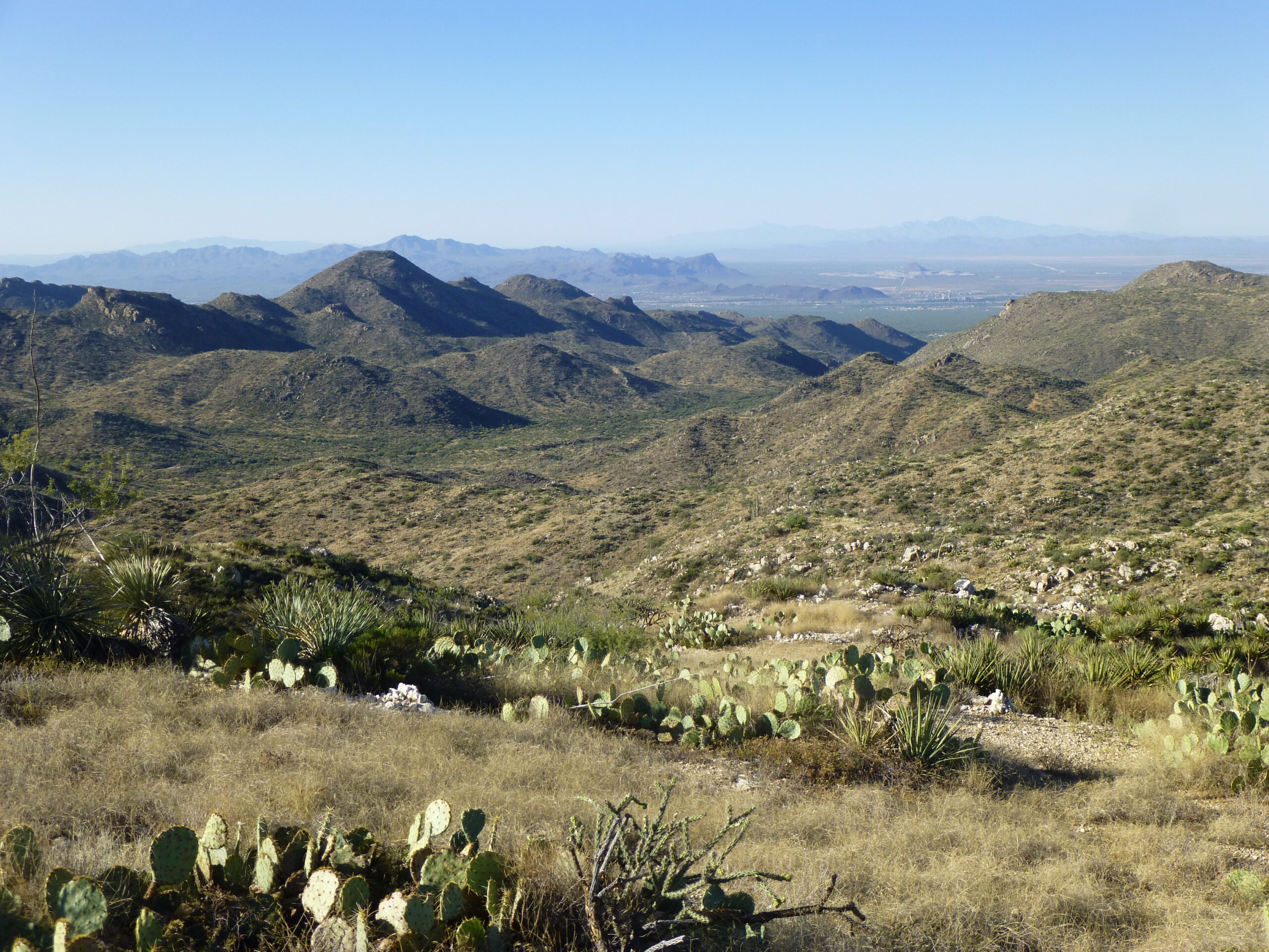
To the left of the above photo was this view, looking north out over what’s left of the Tortolitas.
The northern end of the Tortolita Mountains.
Nearby was this ridge, to the east of upper Wild Burro Canyon and running south from Jeffords Peak.
South of Jeffords Peak.
In the distance, we had this view of Picacho Peak, 22 miles away at a bearing of 290 degrees. This peak lies just west of the I-10 freeway, a familiar landmark to those of us who drive between Tucson and Phoenix.
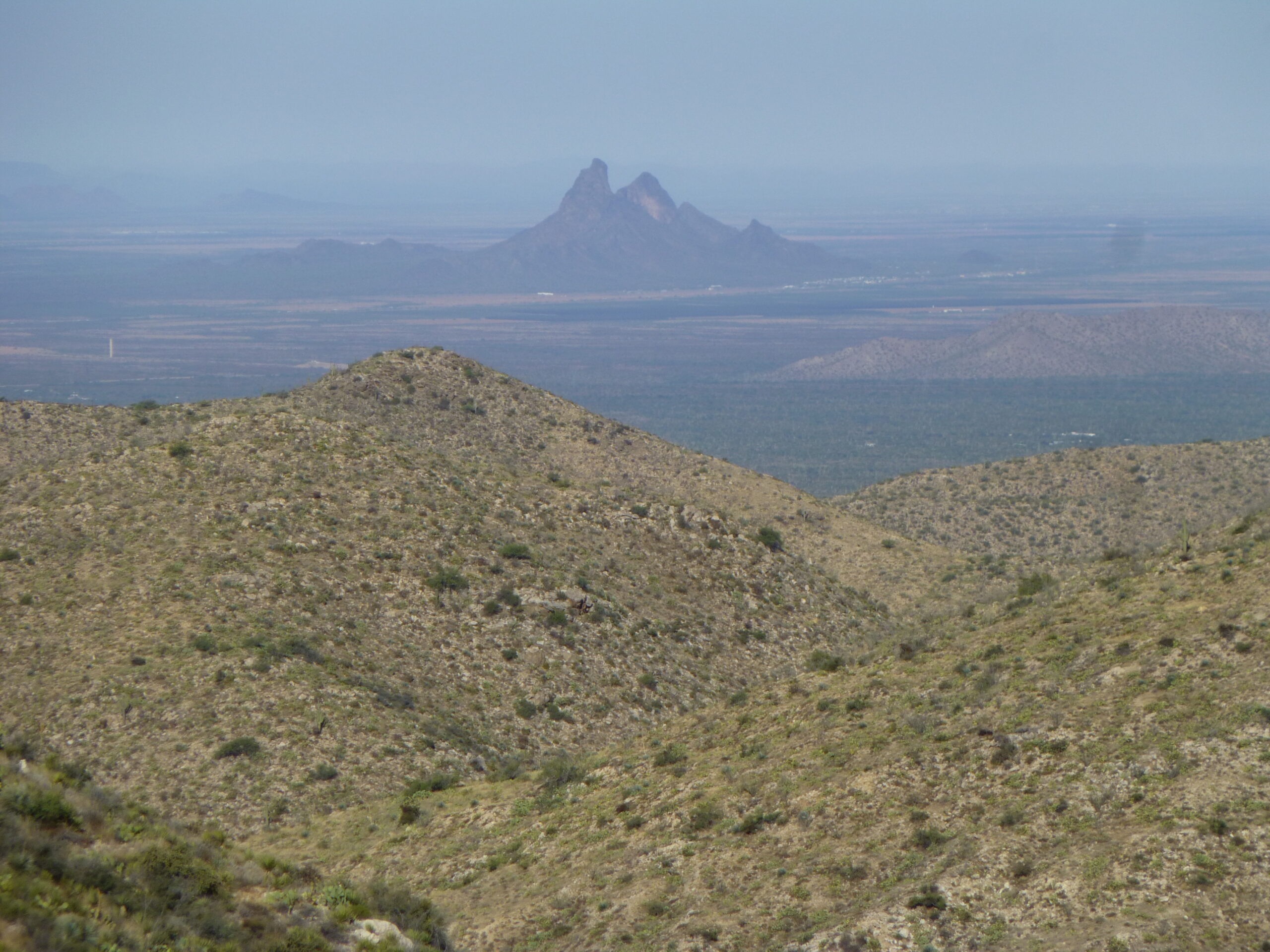
Picacho Peak, elevation 3,370 feet.
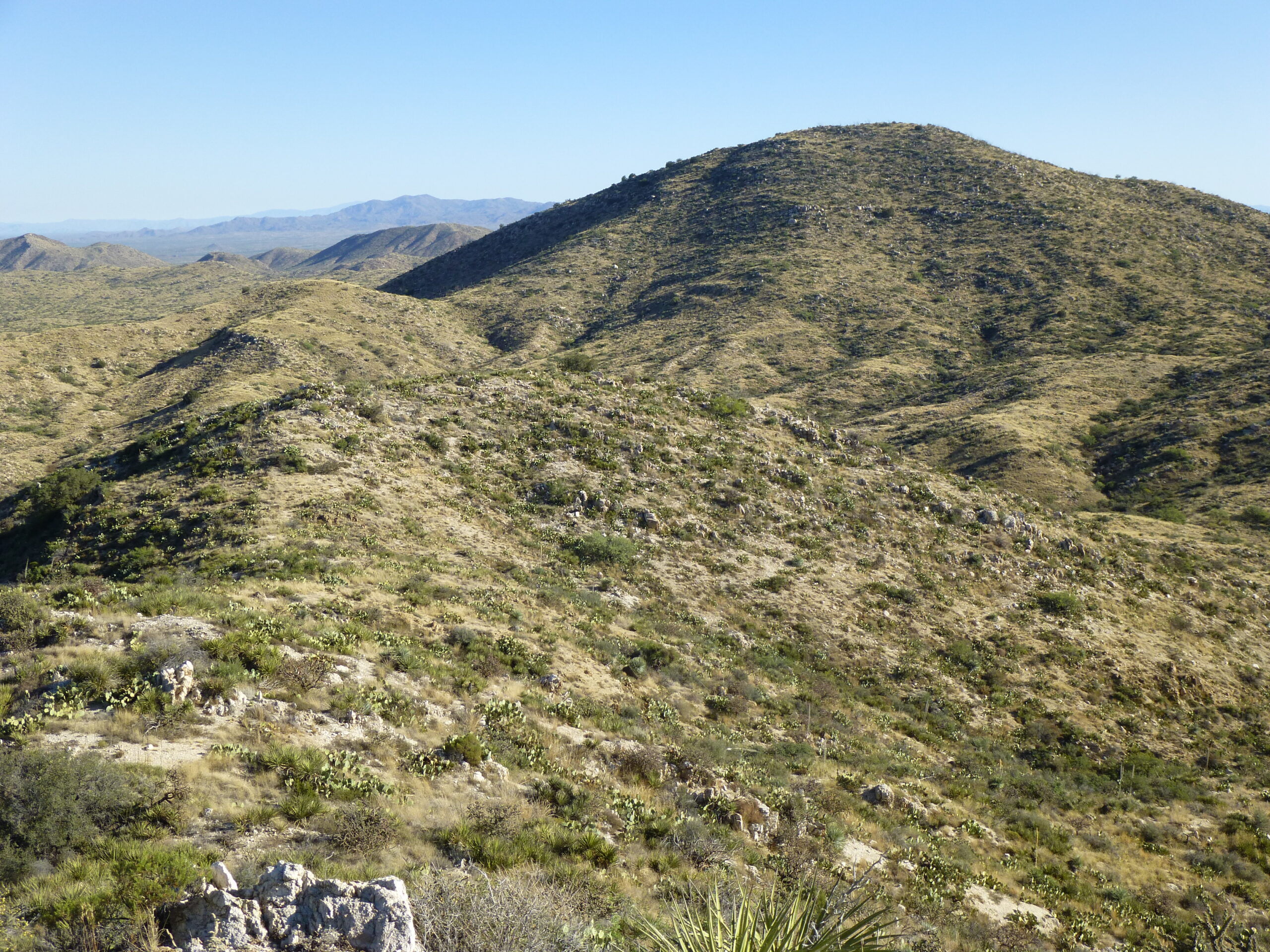
Some of the biggest peaks of the range were plainly visible from my vantage point, like this one, Peak 4373.
The big dark peak out there on the left is Peak 4373. It is 2.6 miles away at a bearing of 198 degrees.
A bit closer, 2.3 miles away at a bearing of 237 degrees, sat rocky Peak 4416.
Peak 4416, out there on the left.
And then there’s this one, Point 4288. It’s the last one on the left, with a flattish top. It is 1.8 miles away, at a bearing of 183 degrees.
Peak 4288 on the far left.
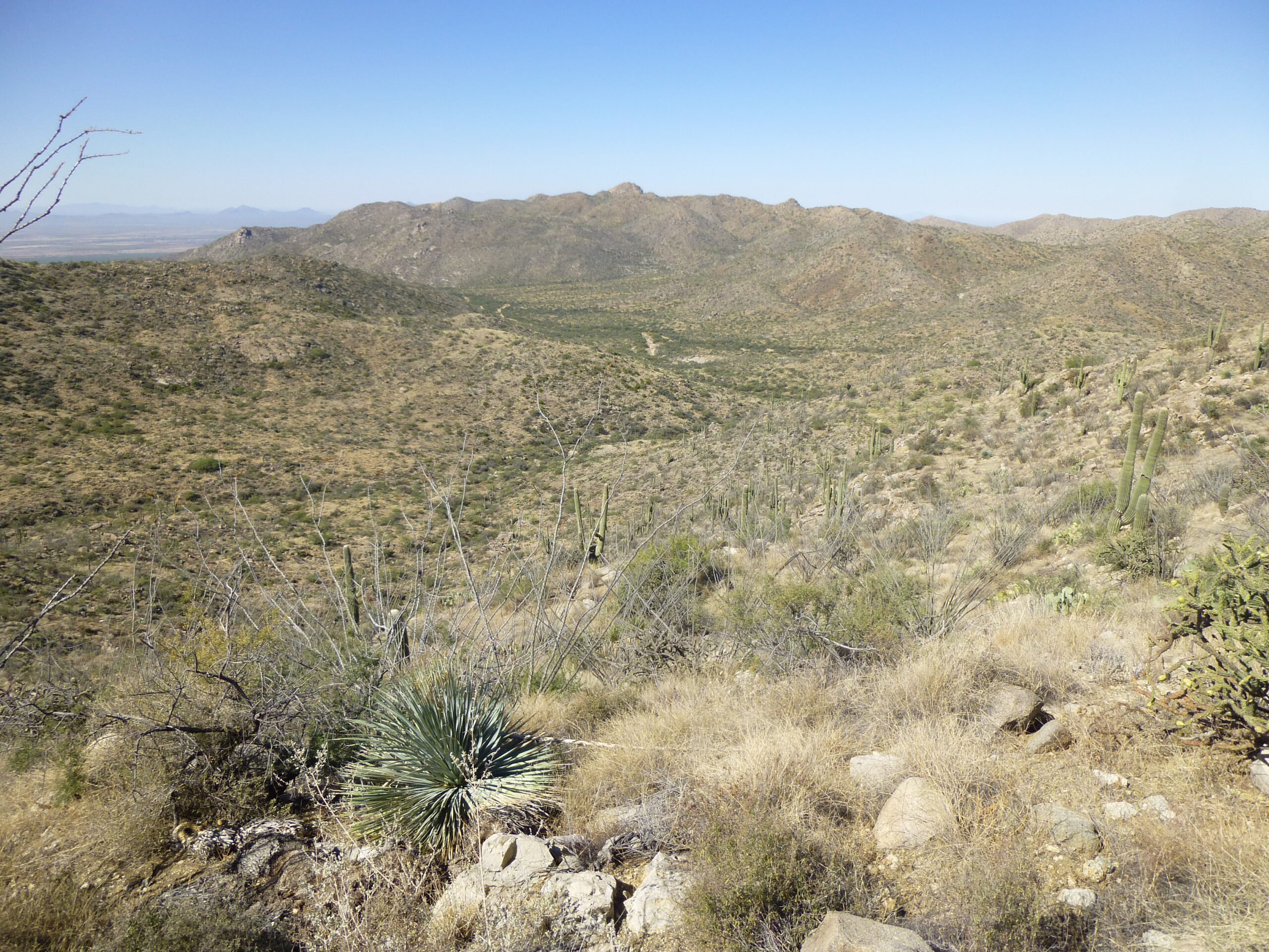
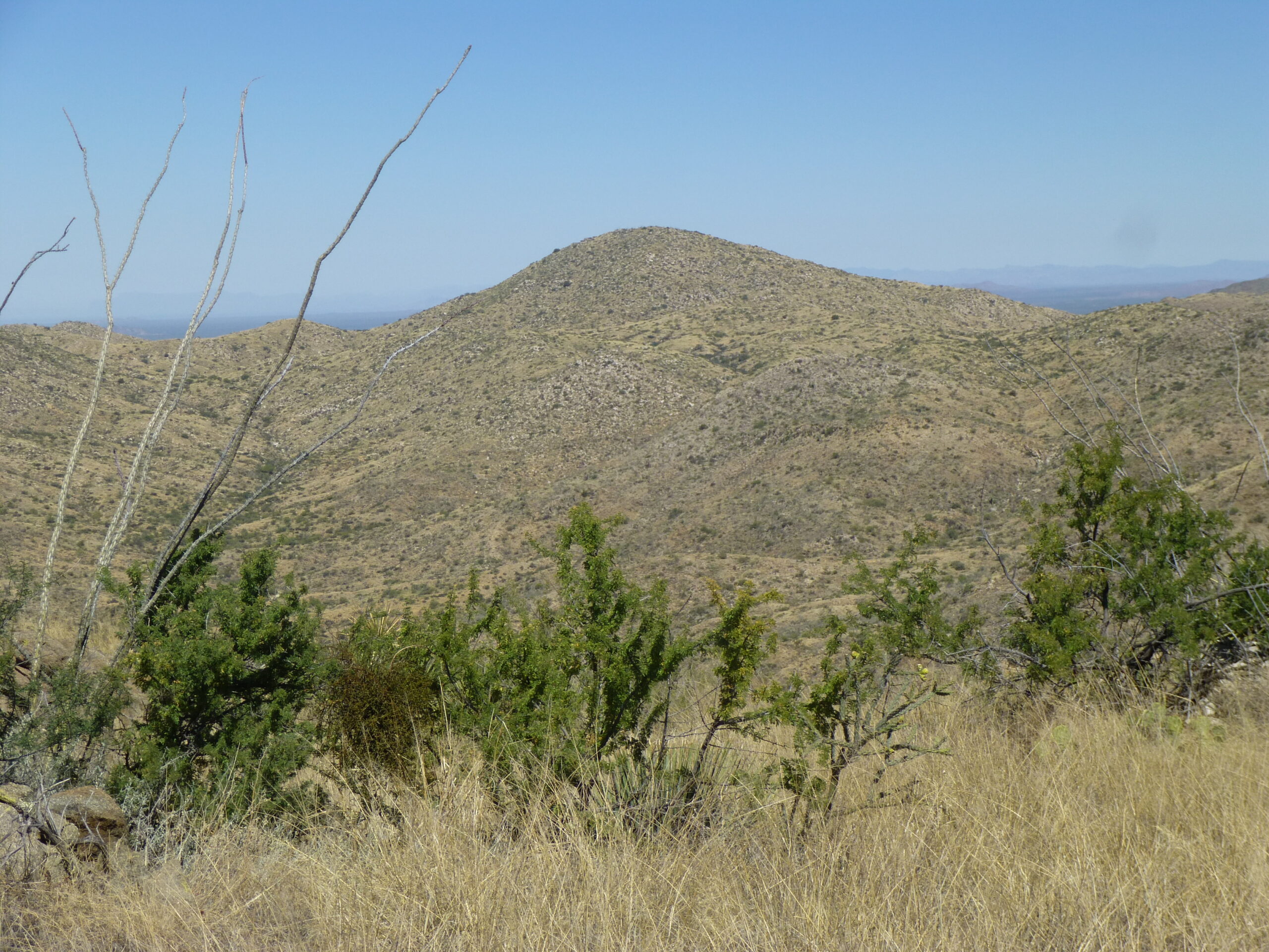
Well, as much fun as I was having here on Peak 4500, there was still one more to do. I came out here today to climb 2 peaks, and I could see the other one waiting down south. I’m going to show you a photo of it, but it’s a bit hard to see, so I’m going to do a bit of explaining. First of all, here’s the photo.
You’re going to have to zoom in to see the details I’m about to describe. There are 3 rows of mountains in the photo. Way in the background, on the horizon, is a row of washed-out peaks taking up the left half of the photo – those are part of the Santa Catalina Mountains, about 12 miles away. Forget about them.
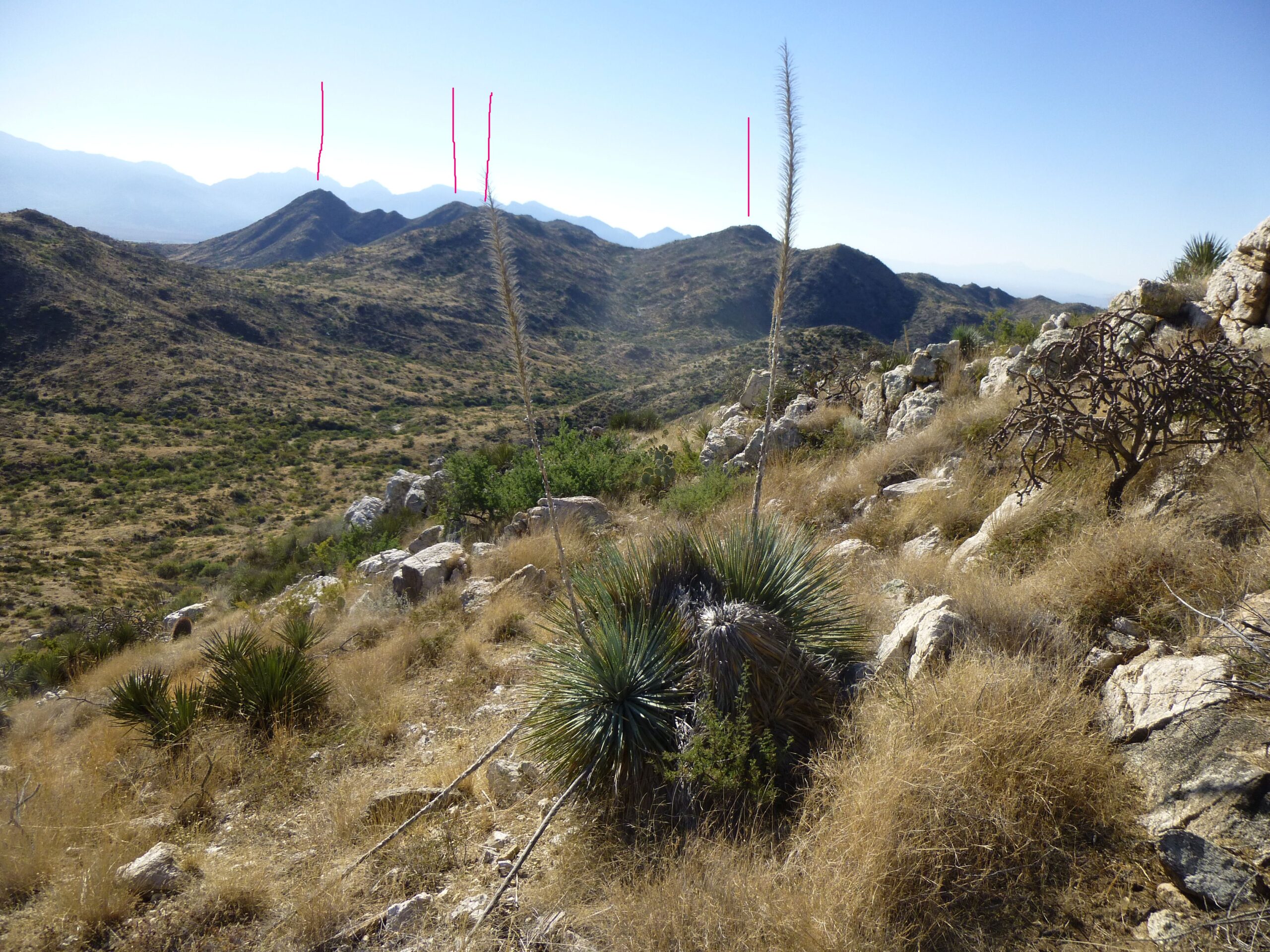
Looking south to Peak 4550.
I’ve drawn 4 red lines above certain of the peaks in the photo. Much closer is a short row of dark peaks, which are shown by the 2 red lines on the left side of the photo. The one on the far left is Tortollitas Benchmark, elevation 4,651 feet. The next line over to the right is Point 4522. And finally, the 2 lines over to the right show things even closer to the camera. The line on the far right is Point 4304. The third line in from the left, which is also the second one in from the right – that’s the one I was after – it is right behind that plant stalk, and is Peak 4550. It is only 1.5 miles away, at a bearing of 151 degrees, and it was my next objective.
It only took 15 minutes to drop down into Wild Burro Canyon once again, where I enjoyed a pleasant walk downstream to the south.
Walking down the canyon.
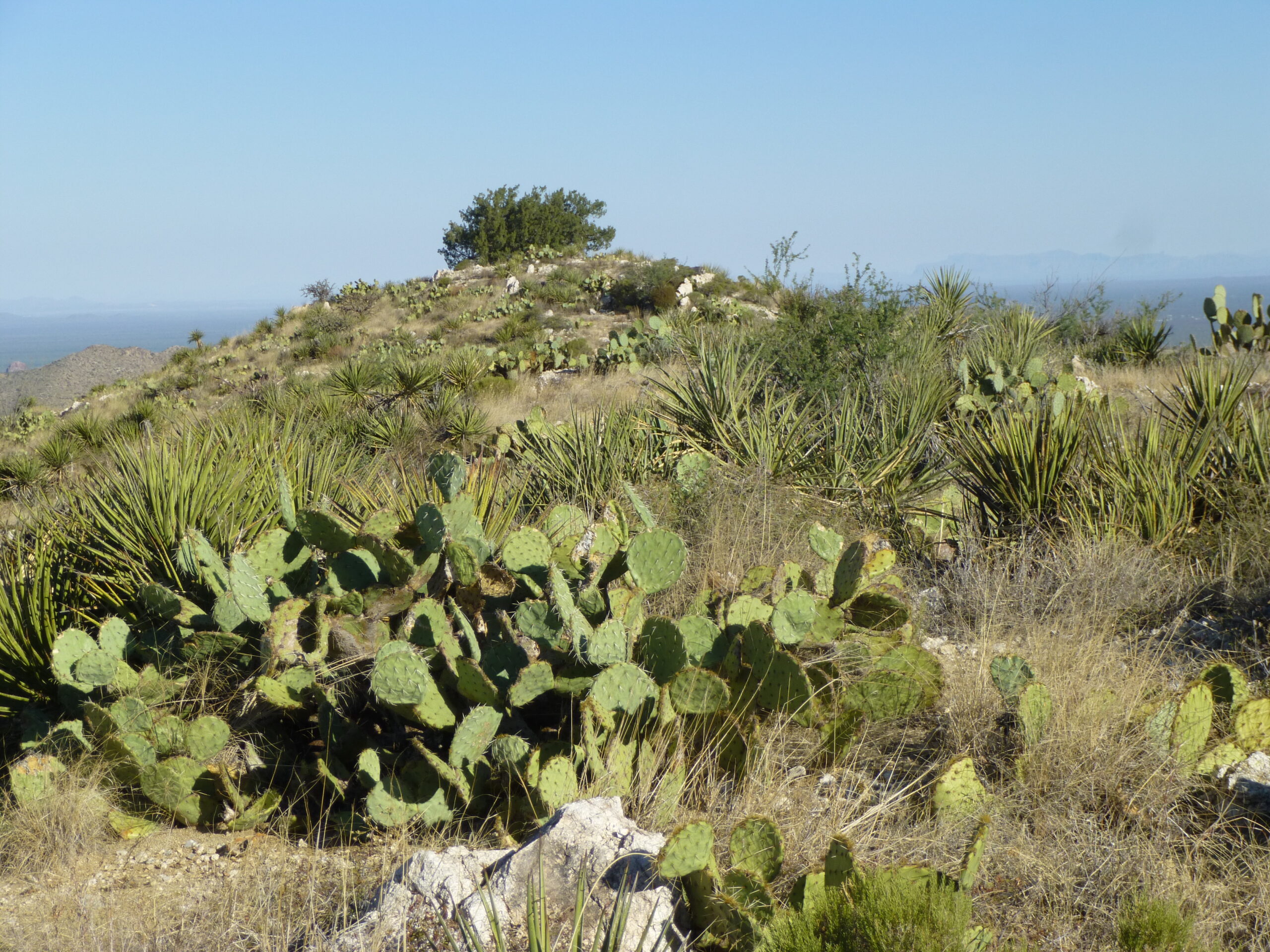
Nice scenery.
Before long, I entered an area designated Tortolita Mountain Park, although there was no signage to that effect. This encompasses 3,100 acres and is a Pima County Park. At about 3,840 feet elevation, I came across some works of man.
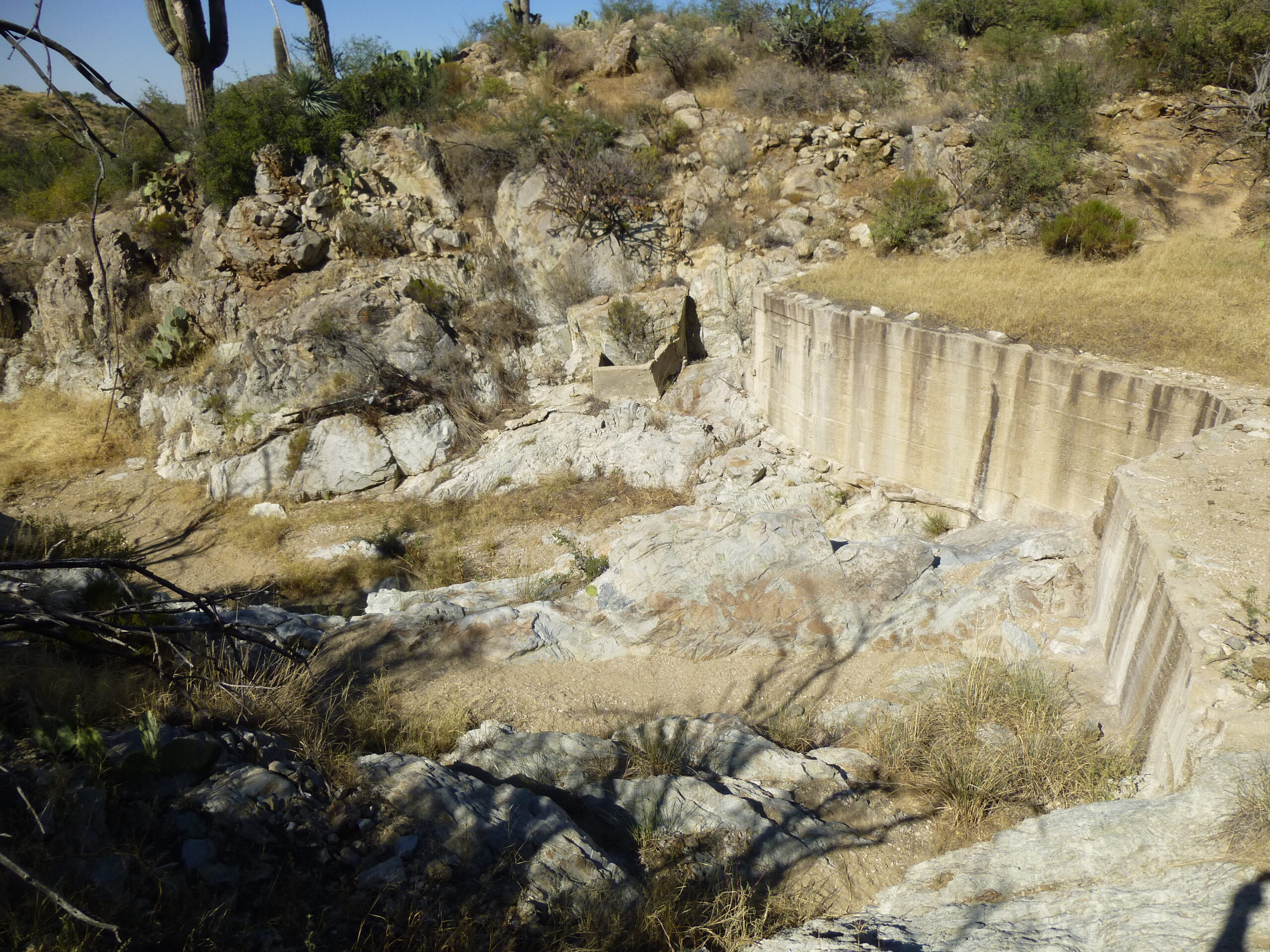
The old concrete dam.
A concrete dam had been built, spanning the channel that was Wild Burro Canyon. As always happens, though, over the years sediment had filled in the space behind the dam, rendering it useless.
The map showed a spring nearby. The remains of an old windmill stood in mute testament to past efforts to pump water for cattle. Nowadays, a solar panel had been affixed to the tower and powered a pump to keep a nearby tank filled.
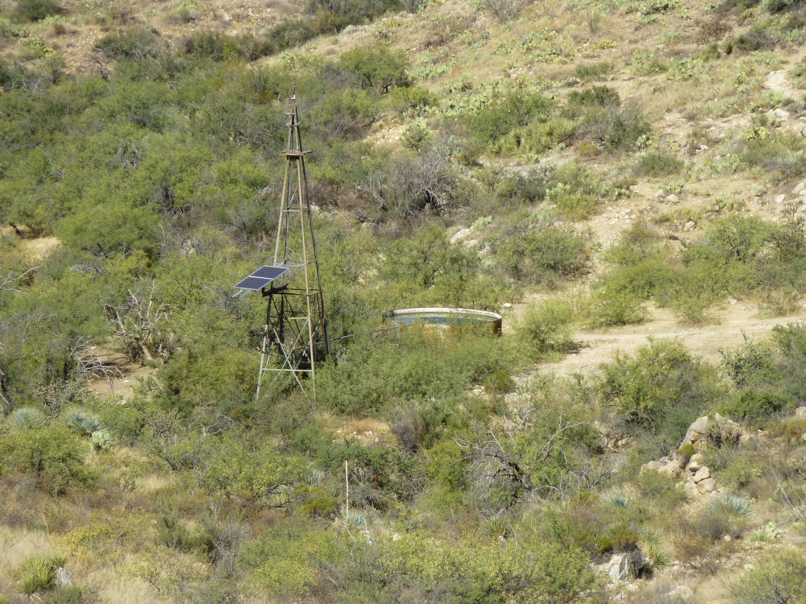
The water tank.
In years past, someone had made a herculean effort to build a stone corral, which still stood.
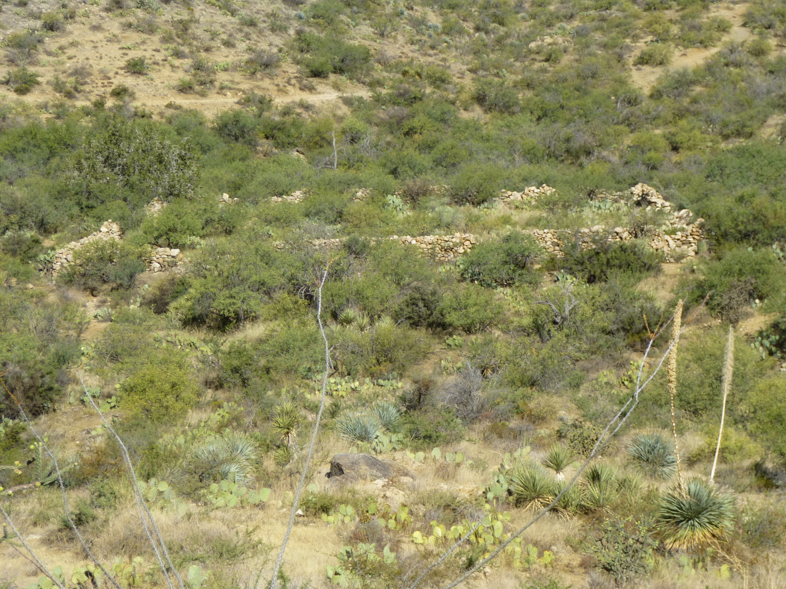
The stone corral.
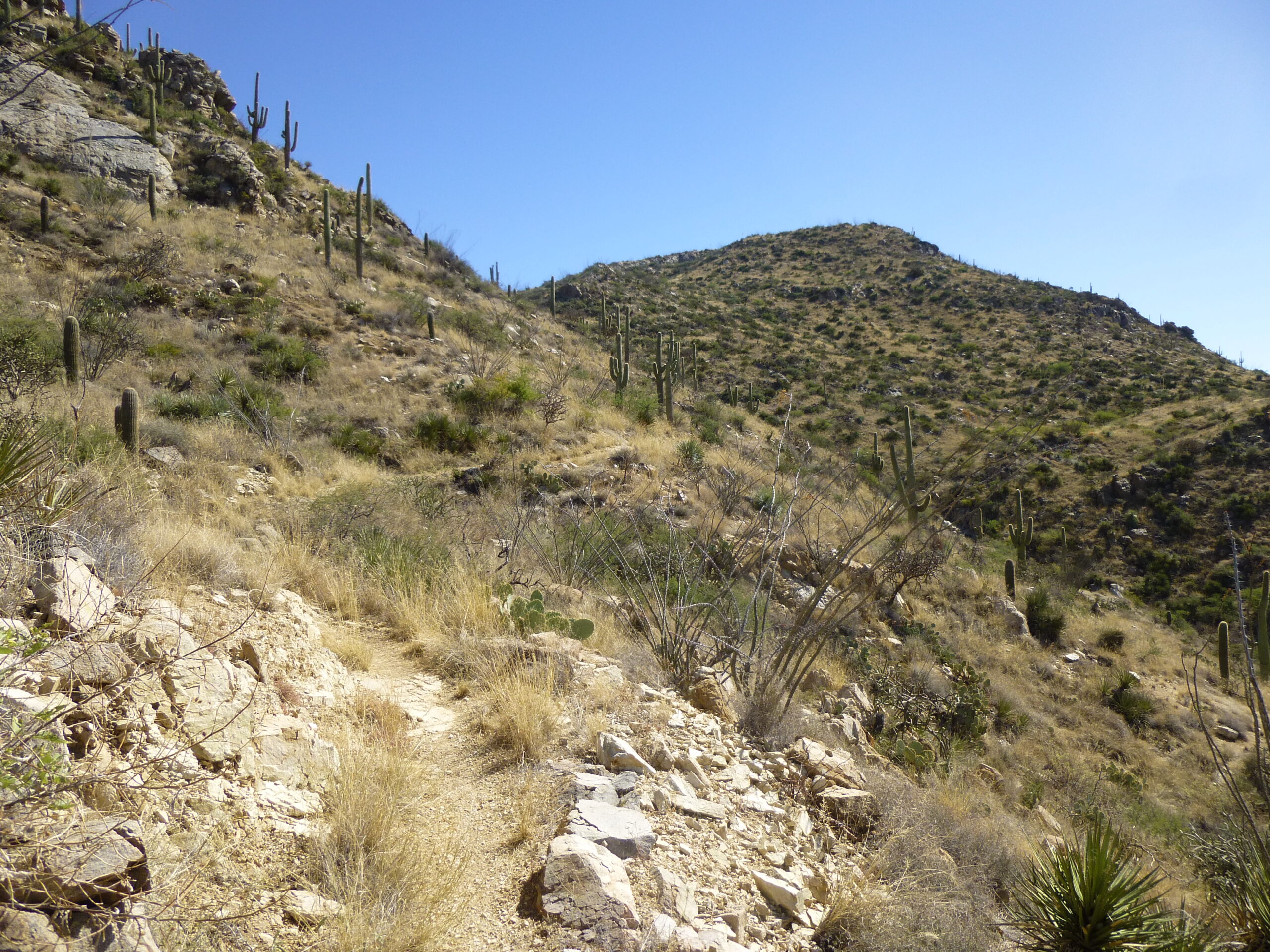
From down below, I saw what looked like a trail of sorts crossing the hillside above. In fact, I can see it making 3 major switchbacks as it gains elevation and climbs towards the gentle saddle on the upper right. You’ll have to enlarge it to see those details.
Is that a trail crossing the hillside?
I actually found the start of the trail down low, near the stone corral. Here’s what it looked like.
The lowest part of the trail.
As I climbed, I soon had this view of what lay below, a better overview of things.
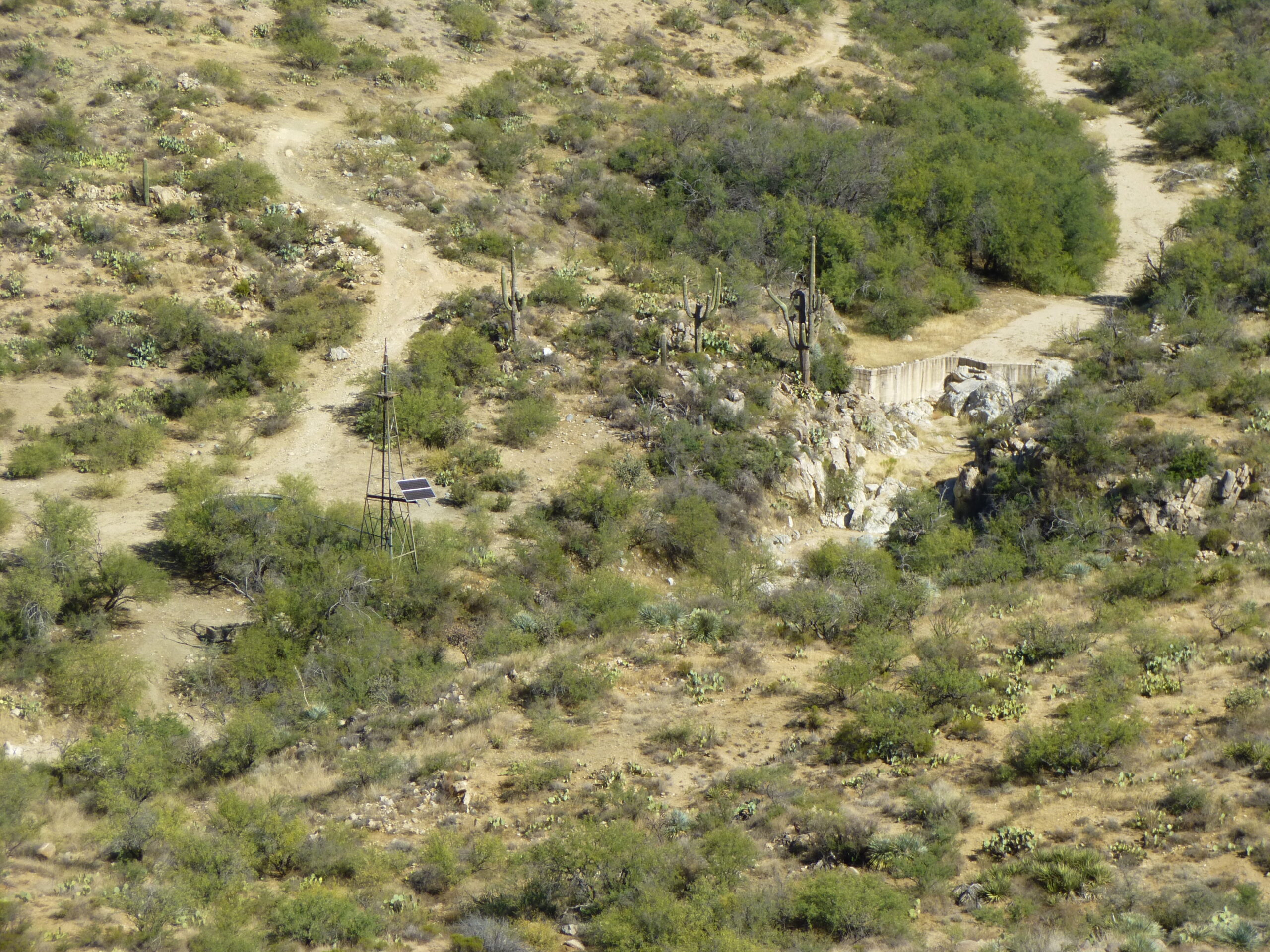
The windmill and the dam.
Then I had this view to the west, looking over a lower part of Wild Burro Canyon. Remember rocky Peak 4416? That’s it out there dead-canter on the horizon.
Peak 4416.
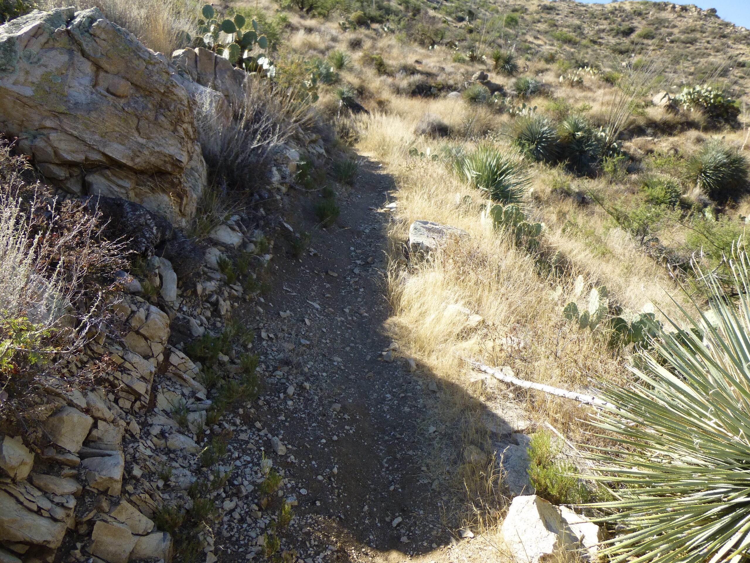
The trail, of which I had no prior knowledge, was turning out to be really good, and it was heading right in the direction I wanted.
Hey, that’s my next peak out there on the right.
Soon I came to this sign – I guess my trail had a name – who knew?
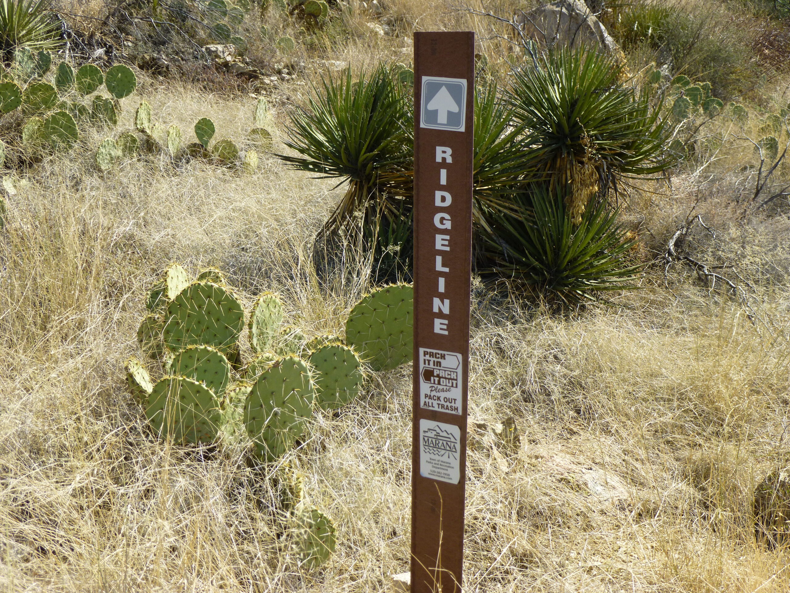
The Ridgeline Trail.
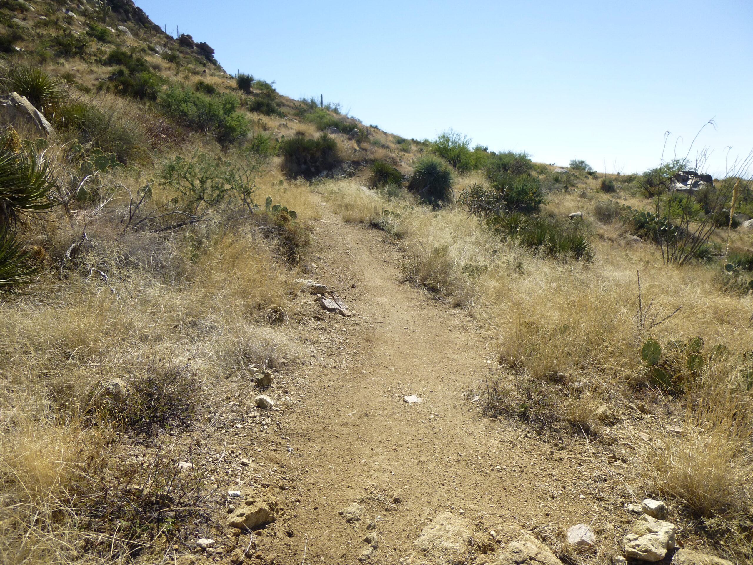
Here was a look back down the trail, the way I’d come.
Nice trail, huh?
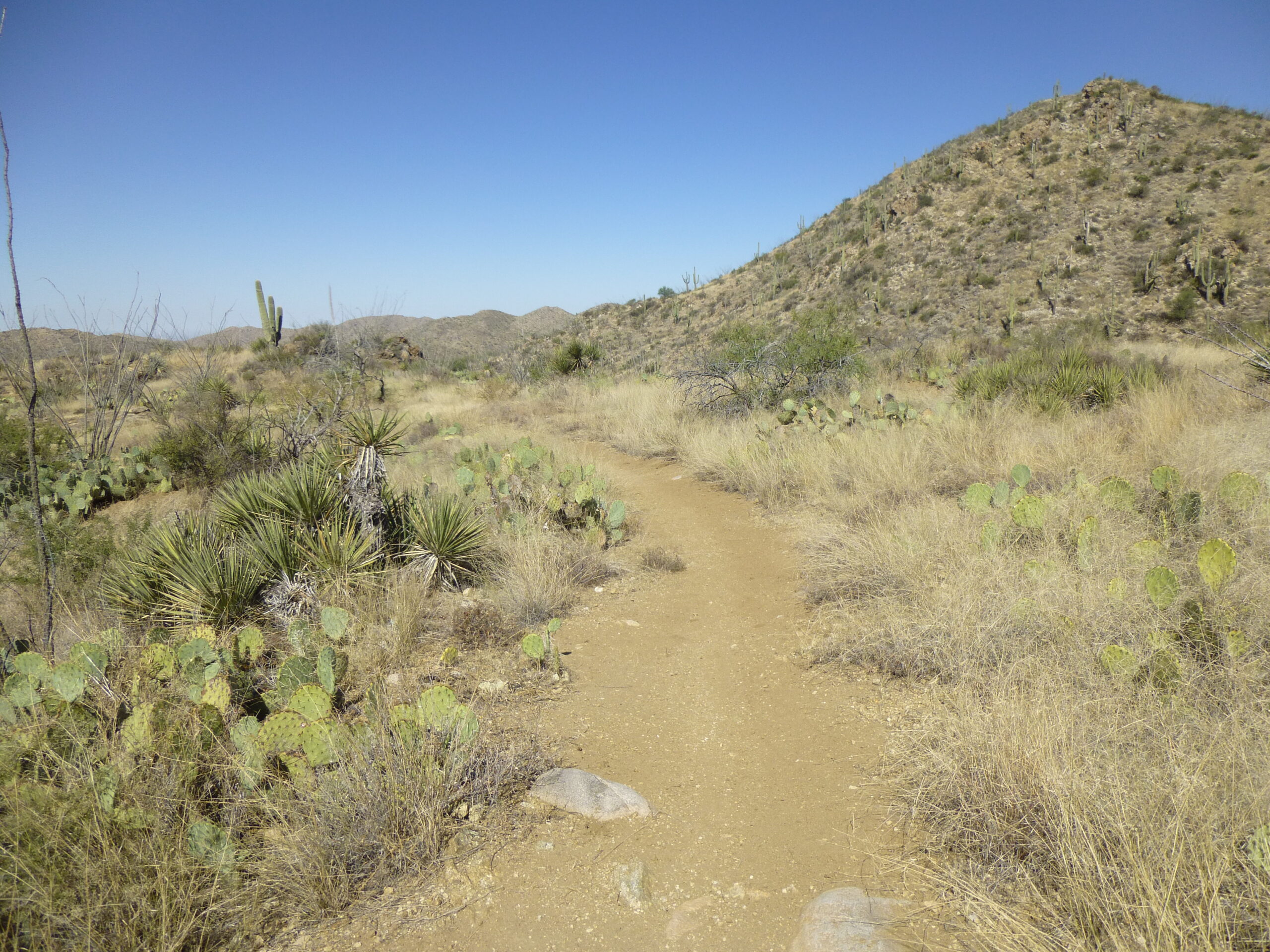
And a view up ahead – it looked like mountain bikes had passed this way.
A look ahead.
The trail had served me well, but at 10:40 AM, at 4,240 feet, it was time to leave it and scramble steeply uphill. I stood on top of Peak 4550 at 10:58 AM.
Here’s what the top looked like.
I had this good view back to my first peak of the day, Peak 4500 – it’s in the middle on the horizon, with the dark clump of trees on its summit.
Peak 4500 is 1.5 miles away at a bearing of 331 degrees.
And here’s a nice clear look north to Jeffords Peak, the range high point.
Jeffords Peak.
There was an assortment of bones lying about.
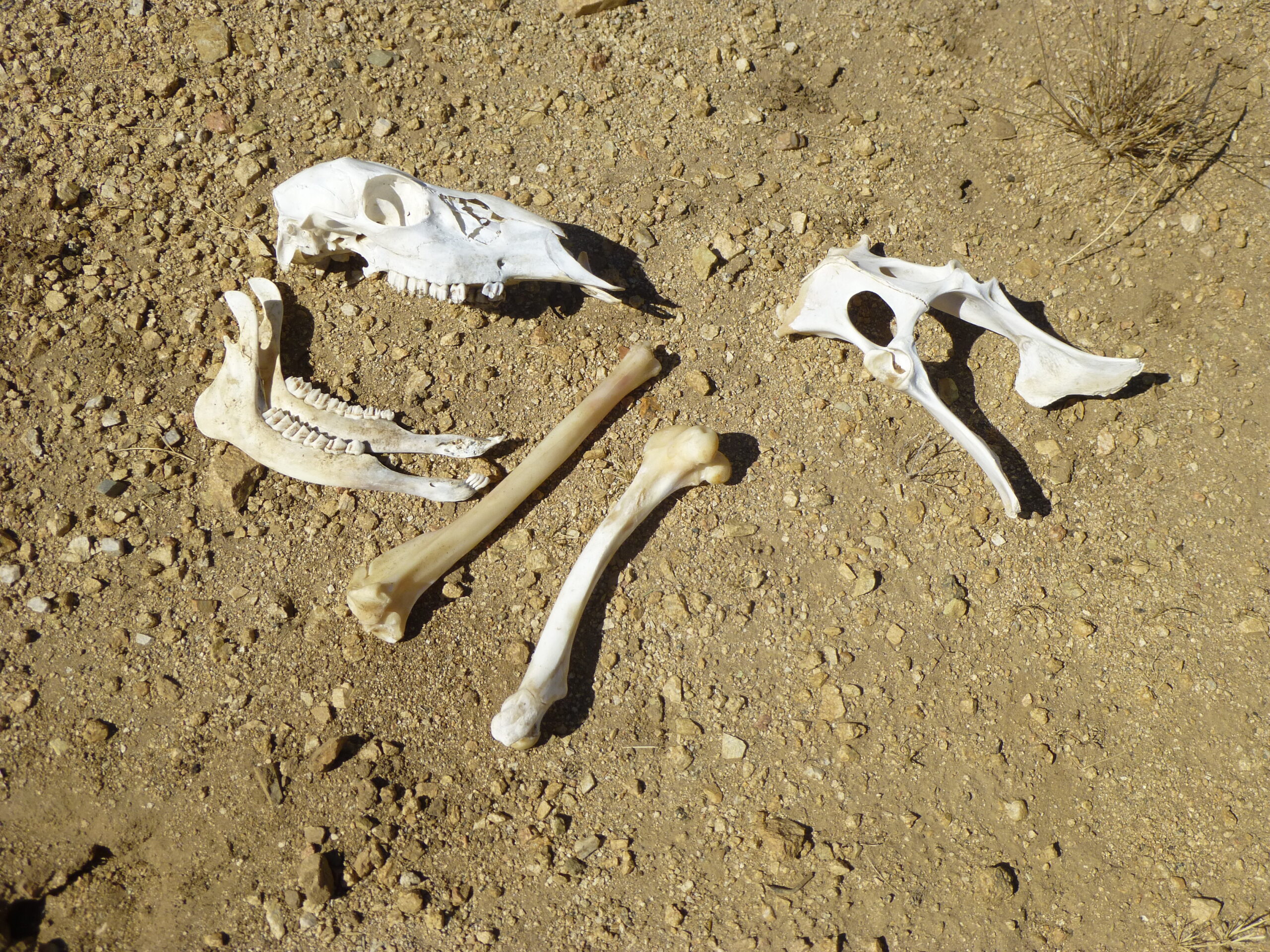
Dem bones.
I left the summit at twelve minutes past eleven, heading towards a nearby saddle, then downslope for the final stretch. It was just under a mile to my truck. Along the way, I had this view northeast to the old mine.
There’s the mine.
Also, way out there in the distance, sat Biosphere 2. It was just a tiny speck, but this long telephoto shows it better. It is 12 miles away, at a bearing of 64 degrees. The faint, distant peaks on the right horizon belong to the Galiuro Mountains.
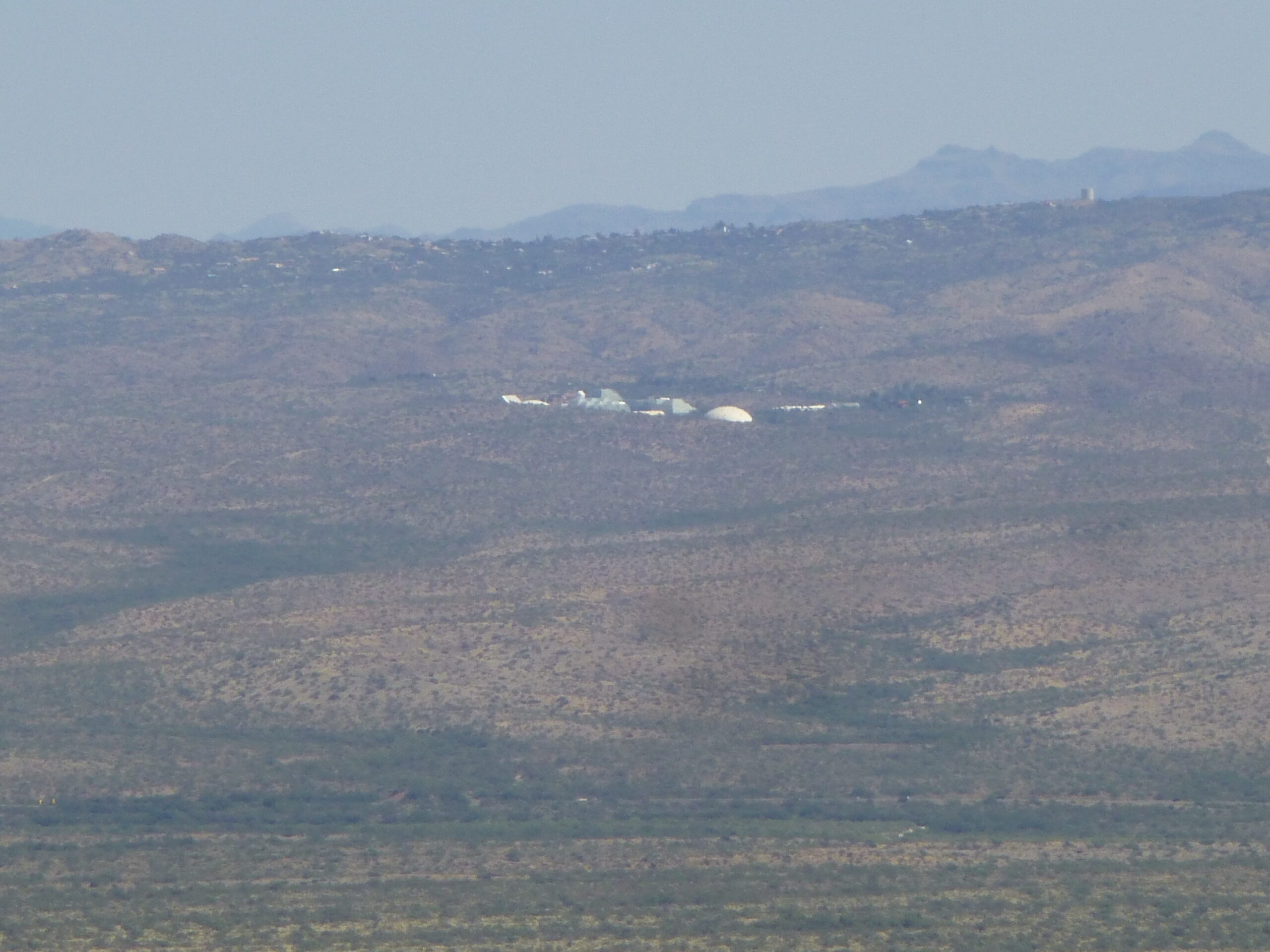
Biosphere 2
Well, just before noon, I arrived back at my truck and, Bob’s your uncle, I was done. Four and three-quarter hours had passed, a total of 1,885 feet had been climbed, and it all went without a hitch. Two nice peaks on a fine October day, and a surprise trail to make it even easier. Hey, thanks for coming along!