
Sixteen days – that’s how much time I’d spent in the Little Horn Mountains in February, March and April of 2019. My goal was to climb every peak in the range, and I was almost done – and what a time it had been!
The previous installment of this story dealt with a faded, unused road that had given me access to 3 remote peaks. This segment takes up where that one left off. I had just driven more than 12 hard miles and had arrived at another road a little more used, so that felt good. There was another peak a short distance away, and I guess I was in the mood to try it, even though it would be the fourth of my day. I drove a mile east and parked next to Peak 1948.
Peak 1948
It was 4:30 in the afternoon by the time I set out. I found a register on top with 8 prior entries. Talk about windy up there! It was hard not to get blown off while I signed in. I didn’t stick around, and was back at my truck an hour after I’d started. It was completely overcast when I set up camp and settled in for the evening. It had been a productive day – 4 peaks was the most I could have hoped for, given the distances and uncertainties involved.
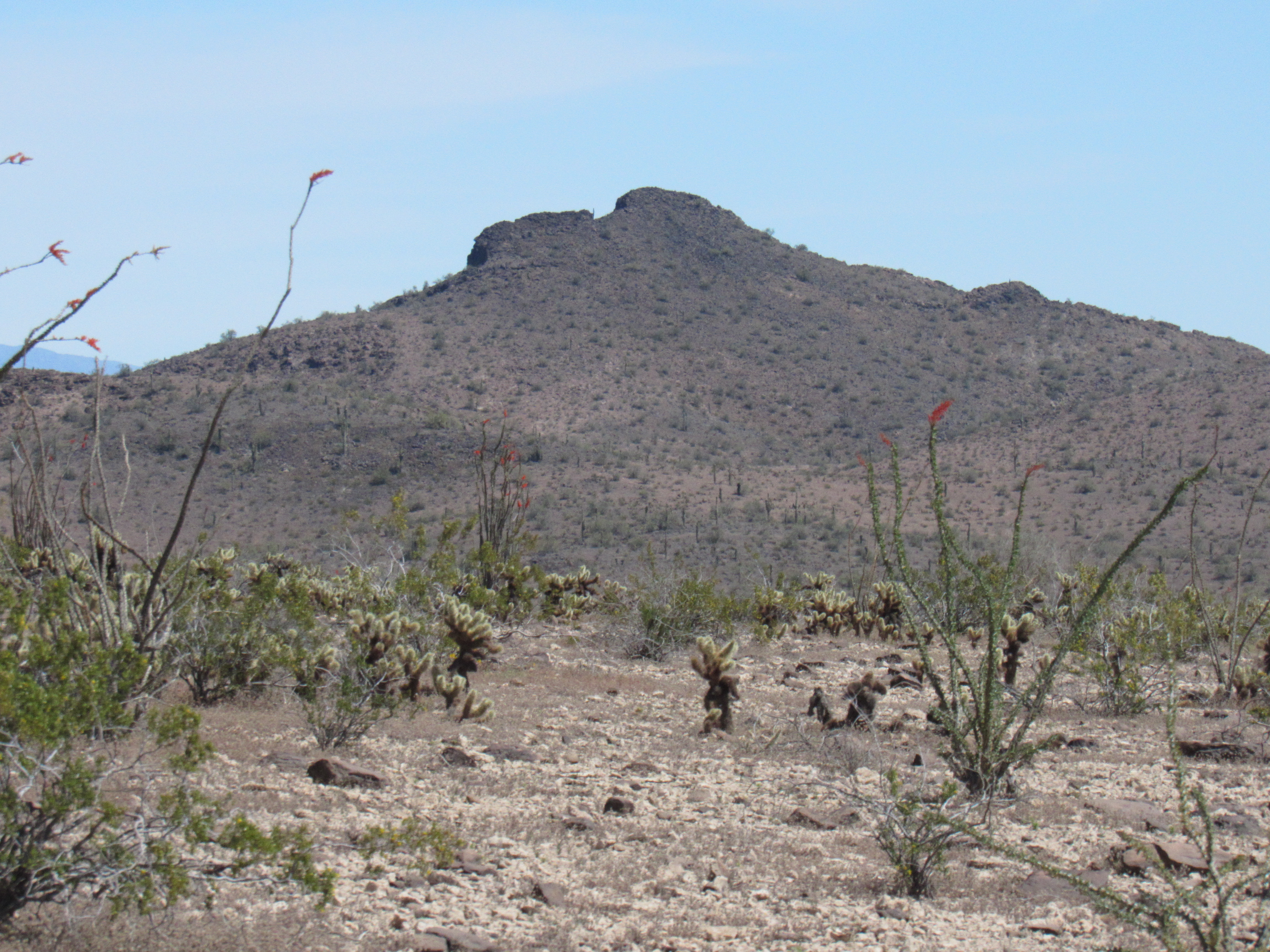
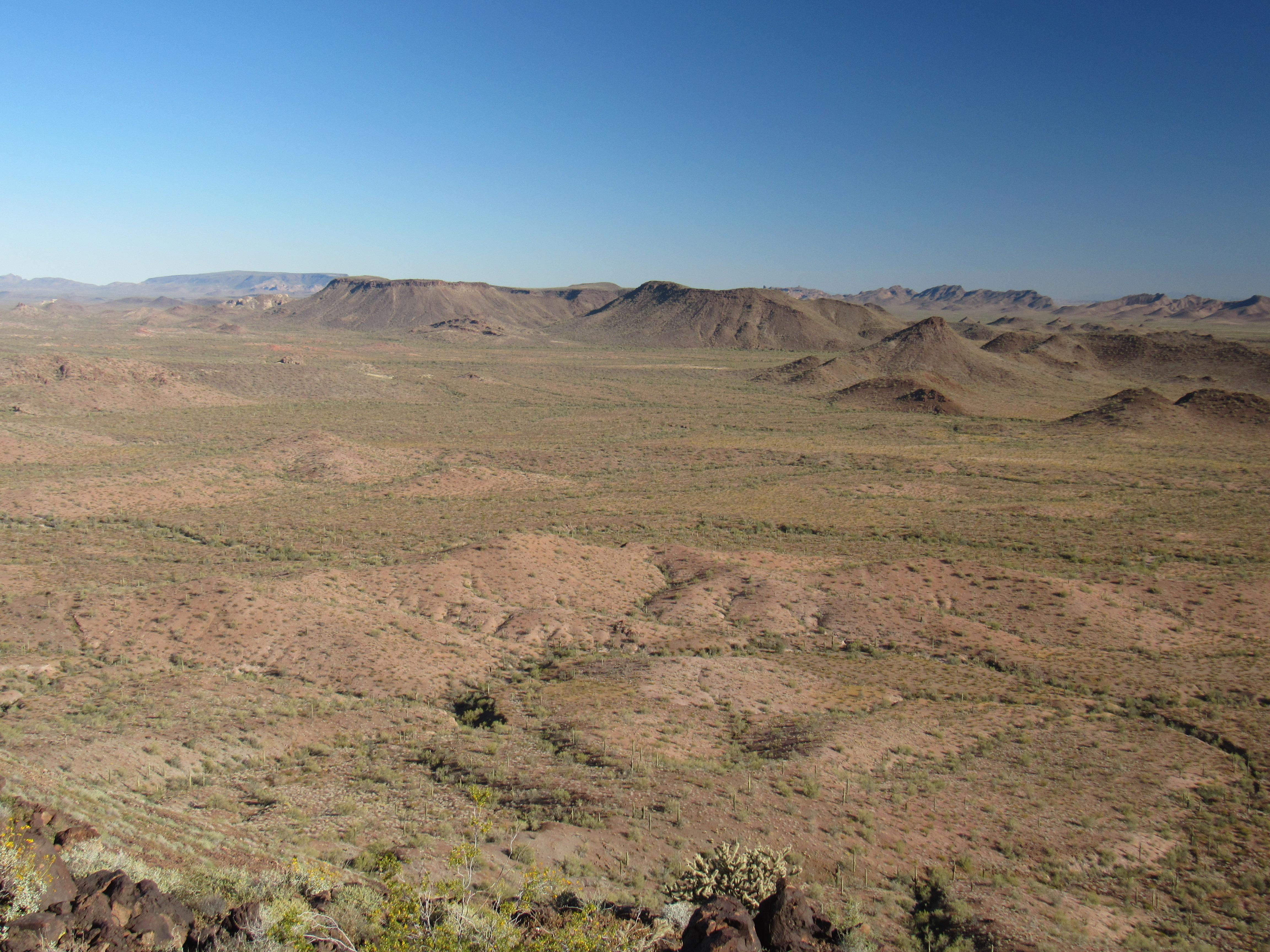
After a good night’s sleep, I broke camp and headed west. Even though it was all over flat terrain, the road was challenging – faint, hard to follow. I’m convinced that my tracks of a month earlier were the only ones in a long time. It was a full 2 hours of slow driving before I was parked for my next peak. Ever since I’d returned to this range 2 months earlier, I’d been eyeballing this one. It was in an odd spot, just far enough away from everything else that it couldn’t be easily combined with another peak as a loop. It would require a trip of its own. I parked in as good a spot as could be wished for, ate something and set out on foot.
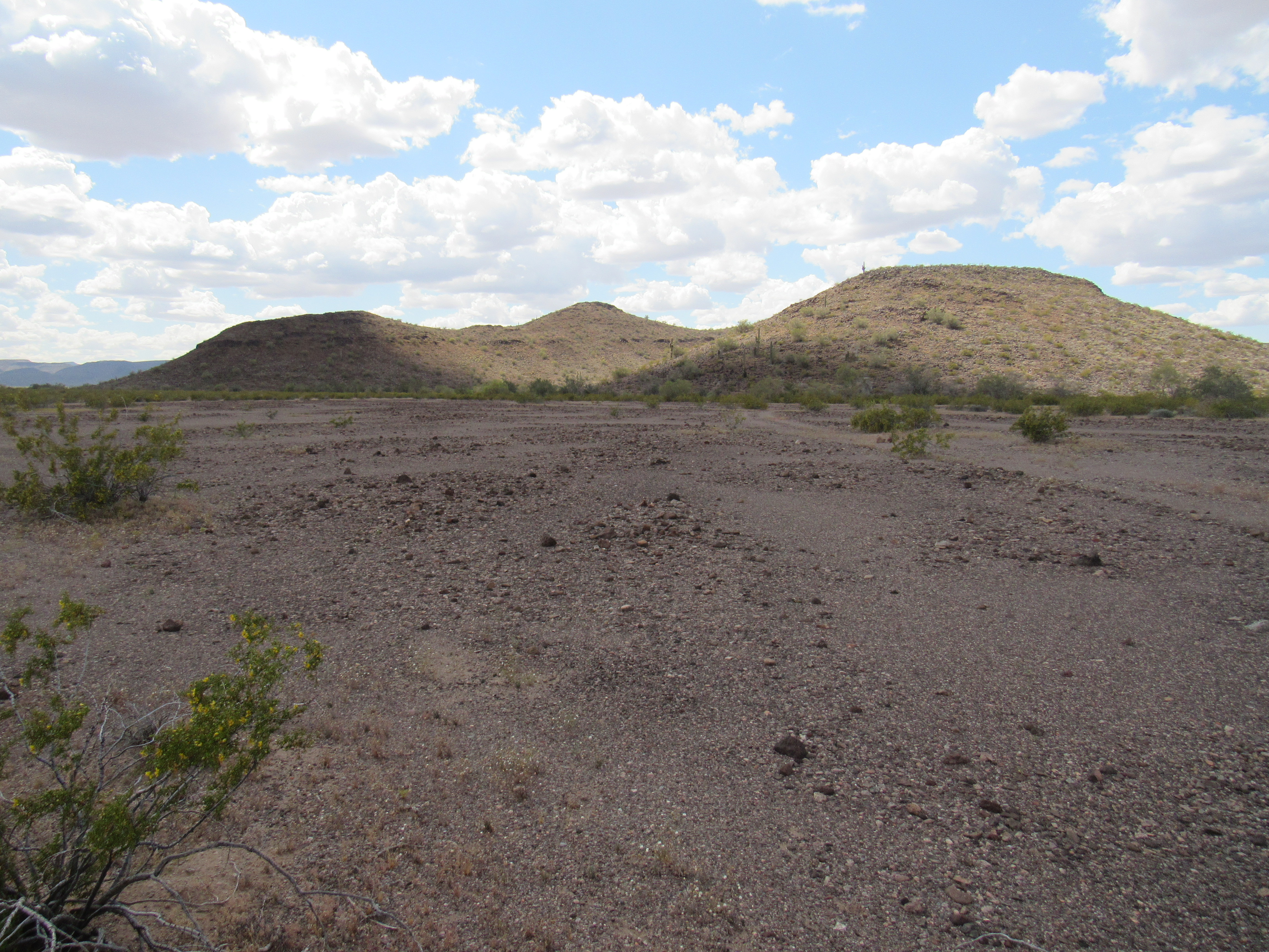
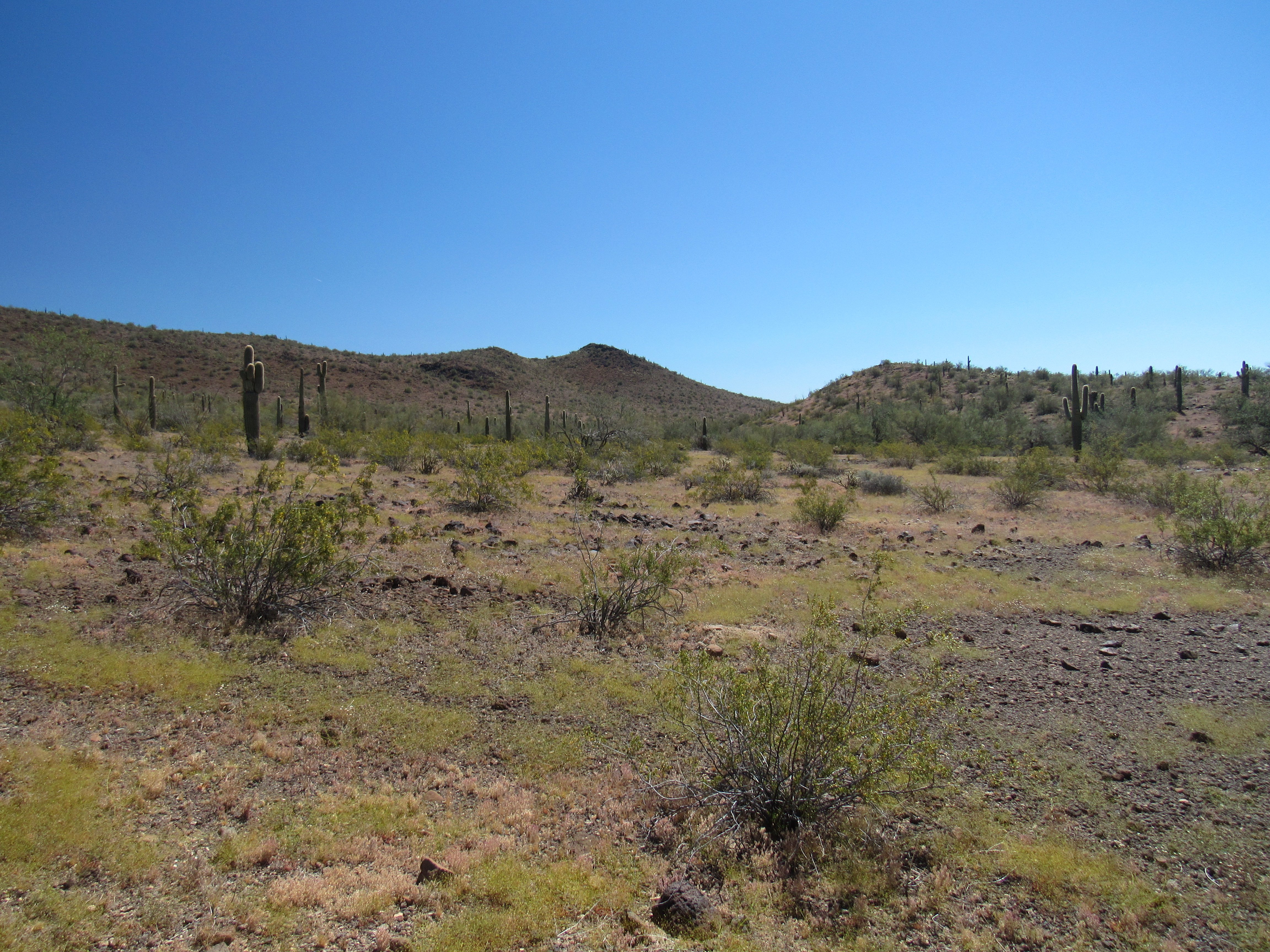
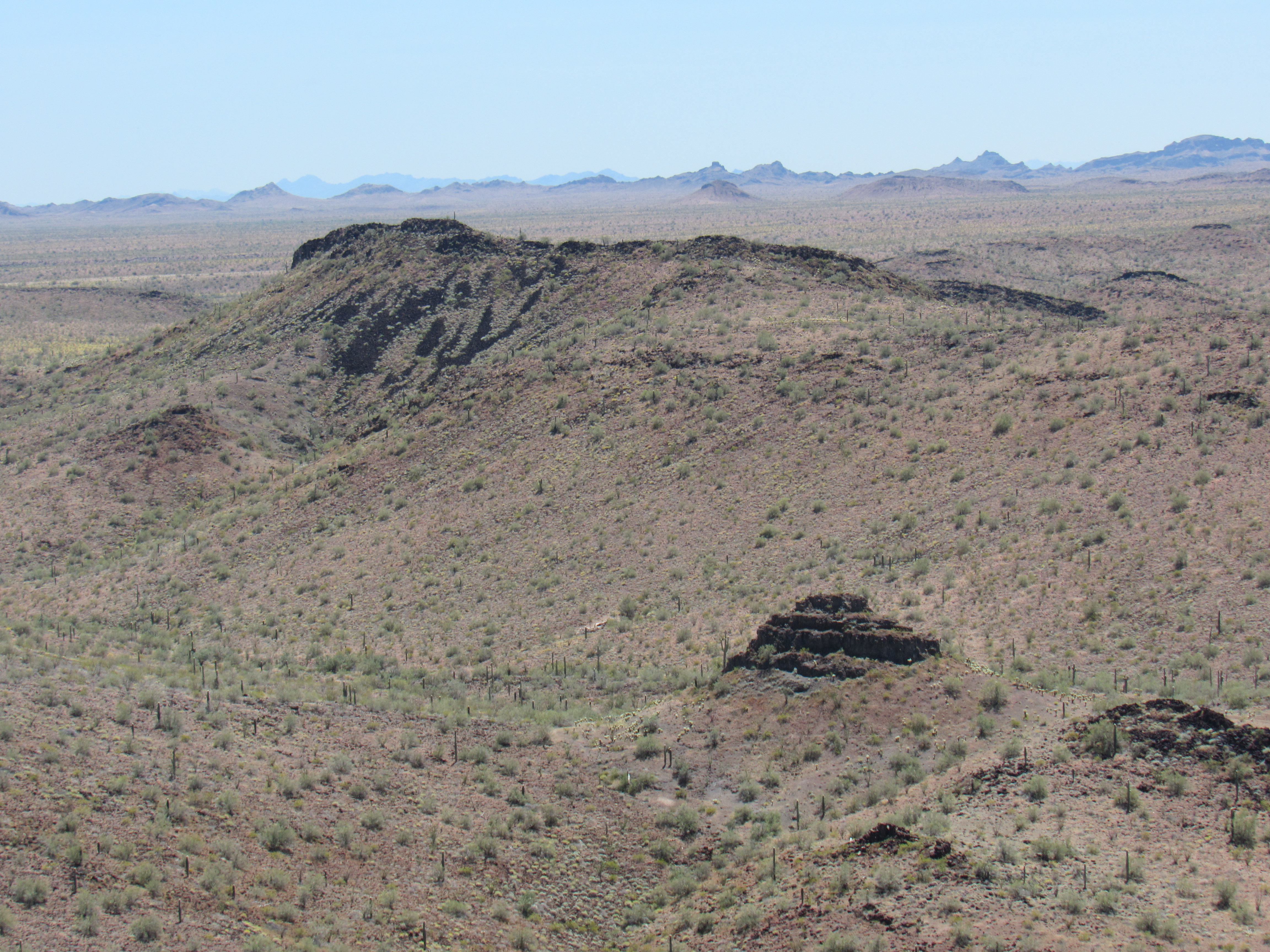
The overcast was breaking up as I walked east over flat terrain. This was a friendly piece of desert – no bushwhacking, nothing nasty.
Nice country
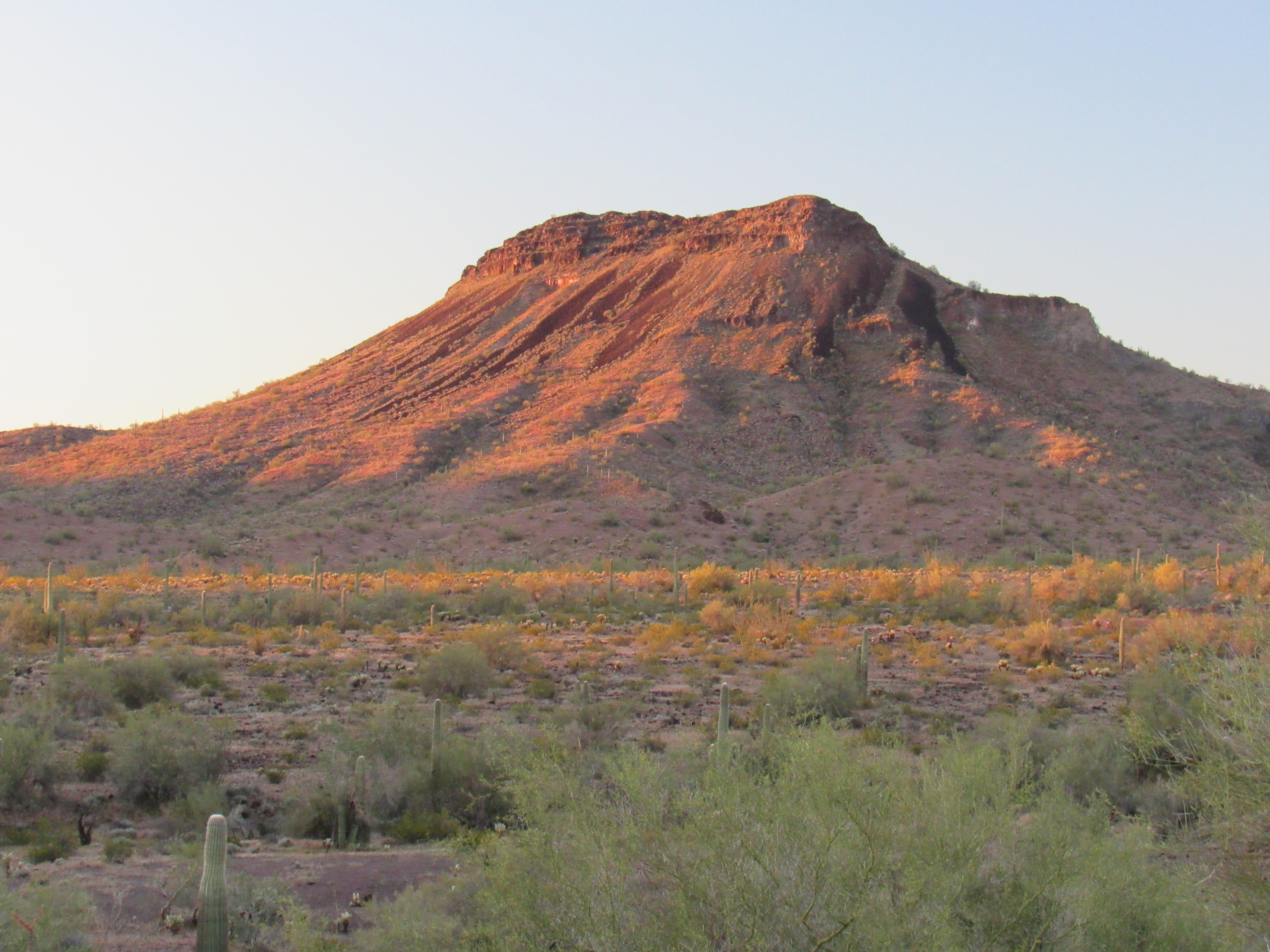
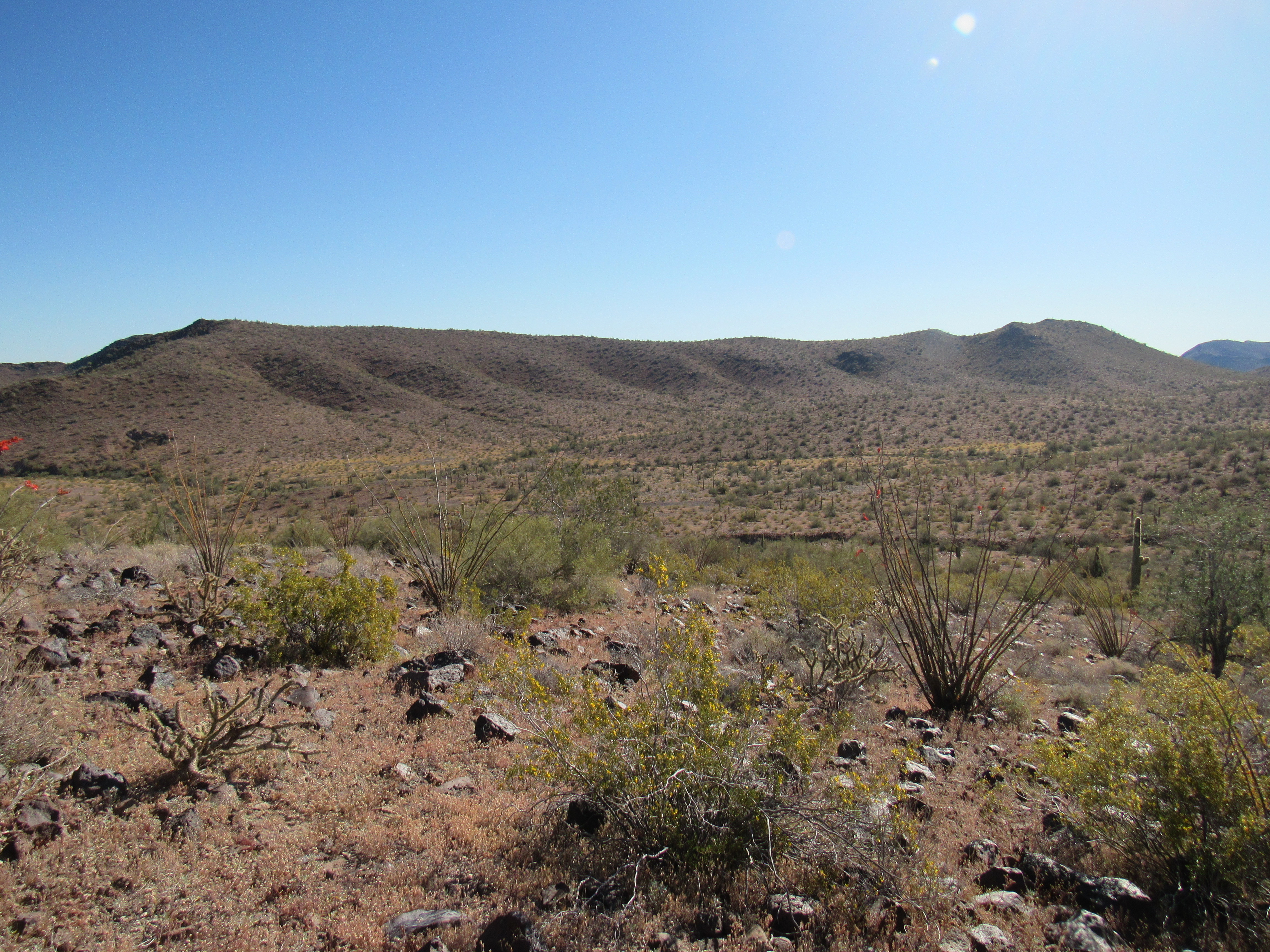
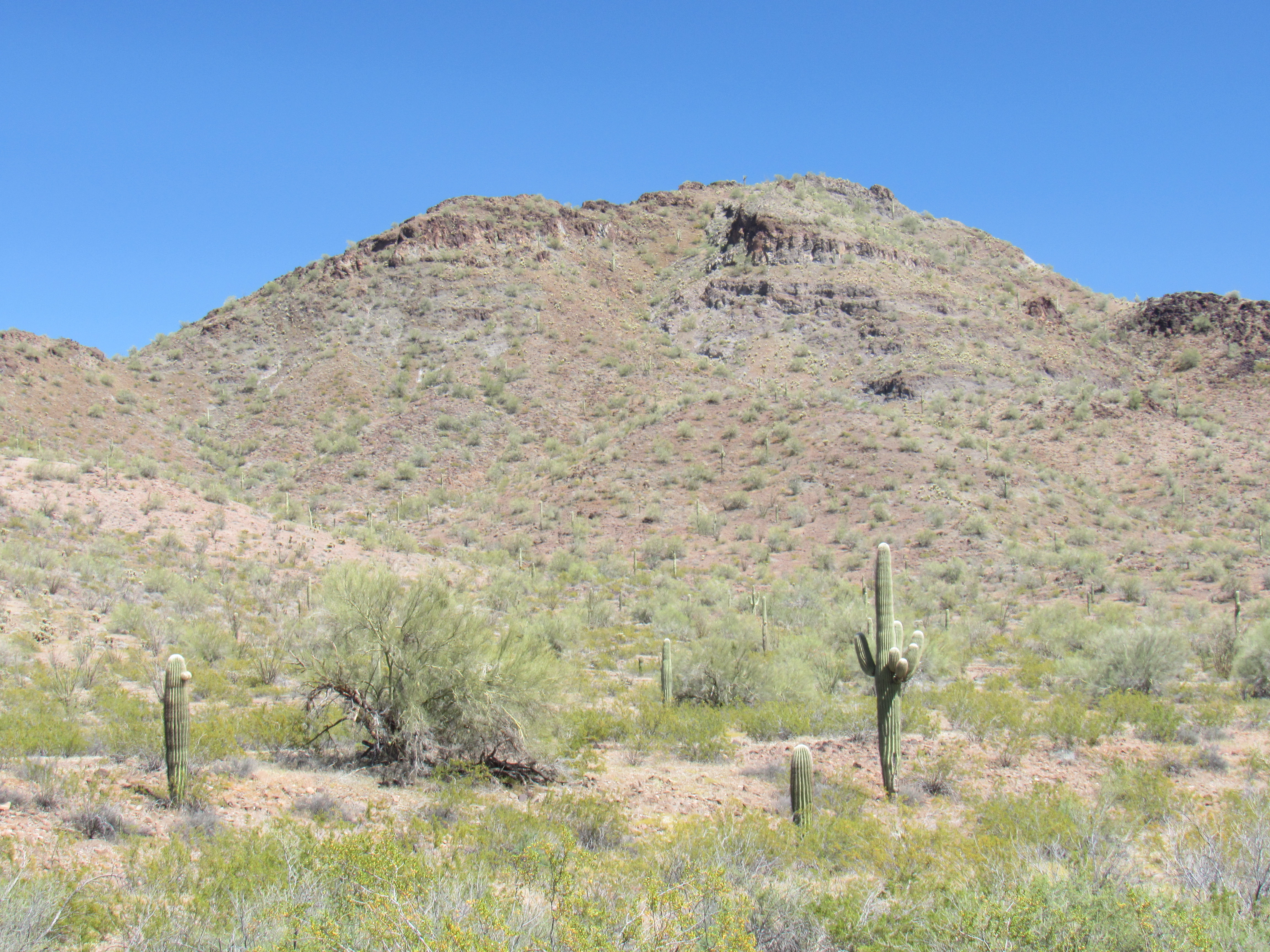
On previous climbs in this part of the range, I’d studied this peak to learn its weaknesses – the only sure thing I’d seen was the south side.
The west side of Peak 2184
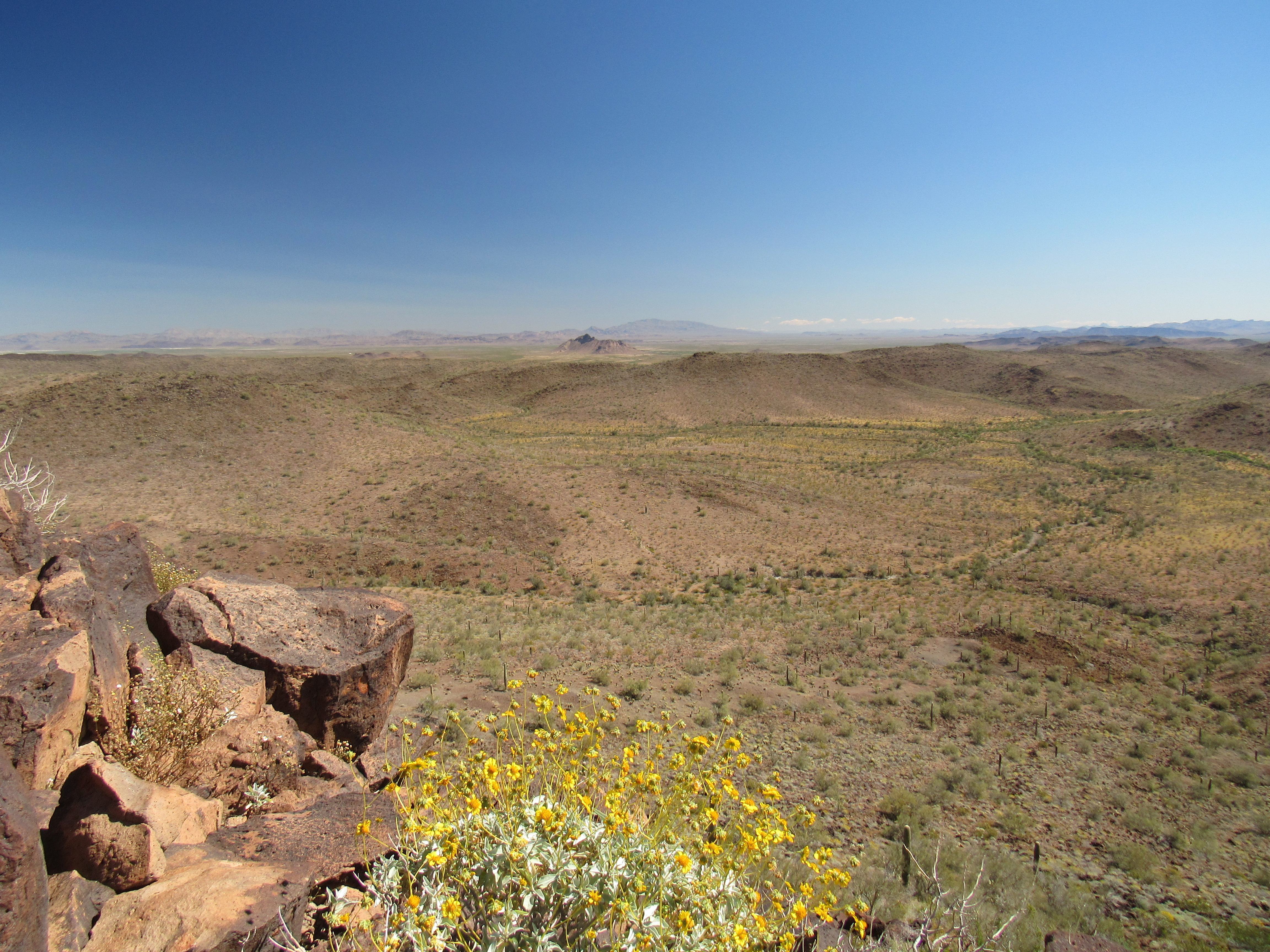
With that in mind, I worked my way around to that area and scrambled up through a gully which turned out to be a little steeper than I expected. The top was a nice spot, a flat area with a crag on either side. I guessed that the west bump was the higher and I was soon proved right. The register was well-hidden among the rocks of the cairn that had been built by the 6 previous ascenders. Here’s a look from the summit back to the truck, miles away – it is tucked in next to a hill on the left side of the hills in the middle of the photo, a tiny white dot..
While on the summit of Peak 2184, I managed a call home. I’ll do this every chance I get, as when you’re climbing solo in remote areas you can’t be too cautious. Hmmm, the north side of the peak looked easier than the route I’d climbed, so I made up my mind to head down that way. After a short while on top, I signed in and headed down – the north side was in fact a better option. I took my time and enjoyed the walk back to the truck. Along the way, I took a photo of an arch in the crumbling volcanic rock. It was even shown on the topo map as “natural arch”, but I didn’t think it was as impressive as nearby “Royal Arch” only 2 miles away.
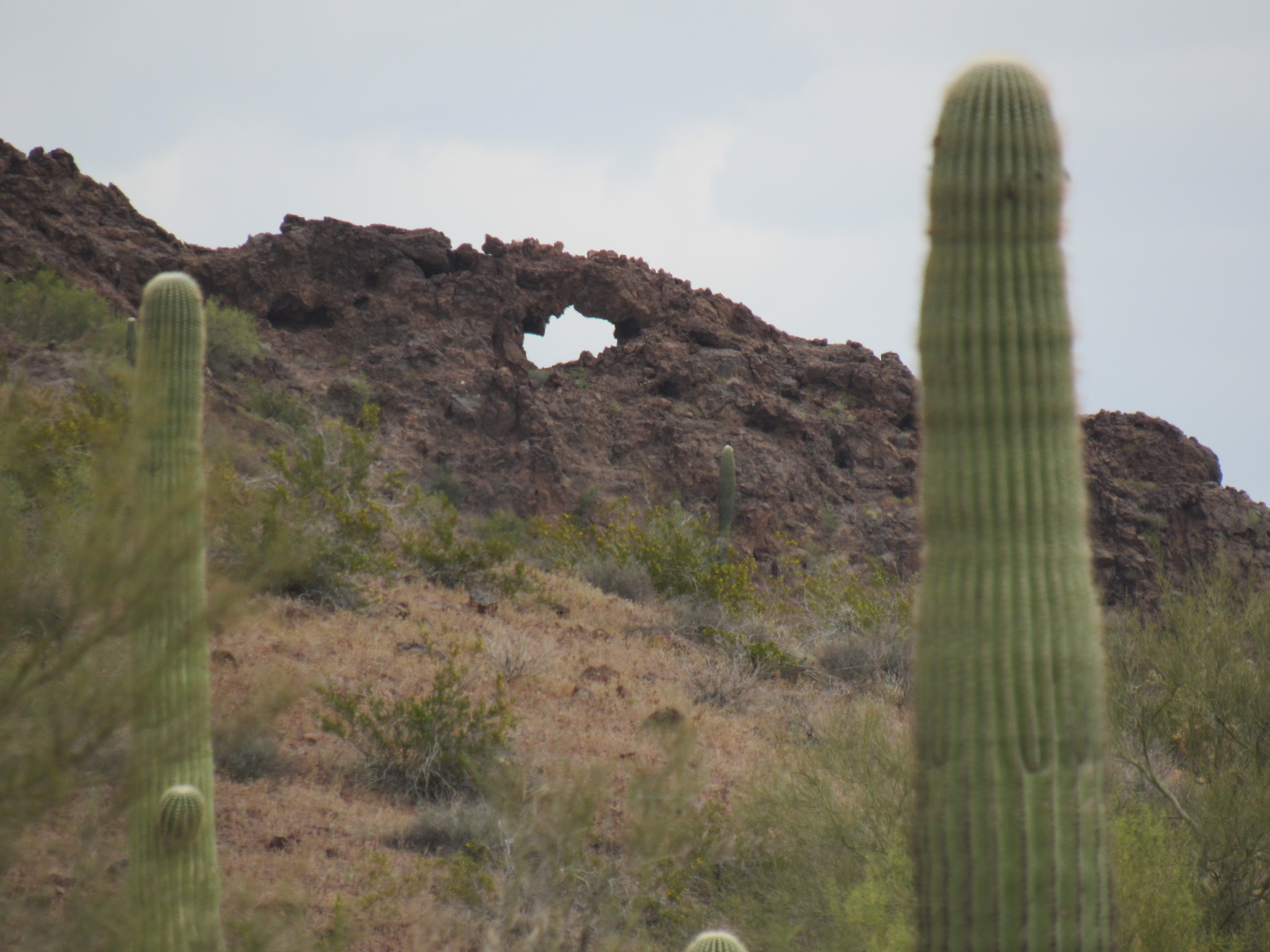
The natural arch
Once back at the truck, I started the drive out and soon had an interesting experience with a black-tailed jackrabbit. These creatures are very common and will run away quickly when they see you. This one stood still in the middle of the road in front of me. This pose shows he is wary of me.
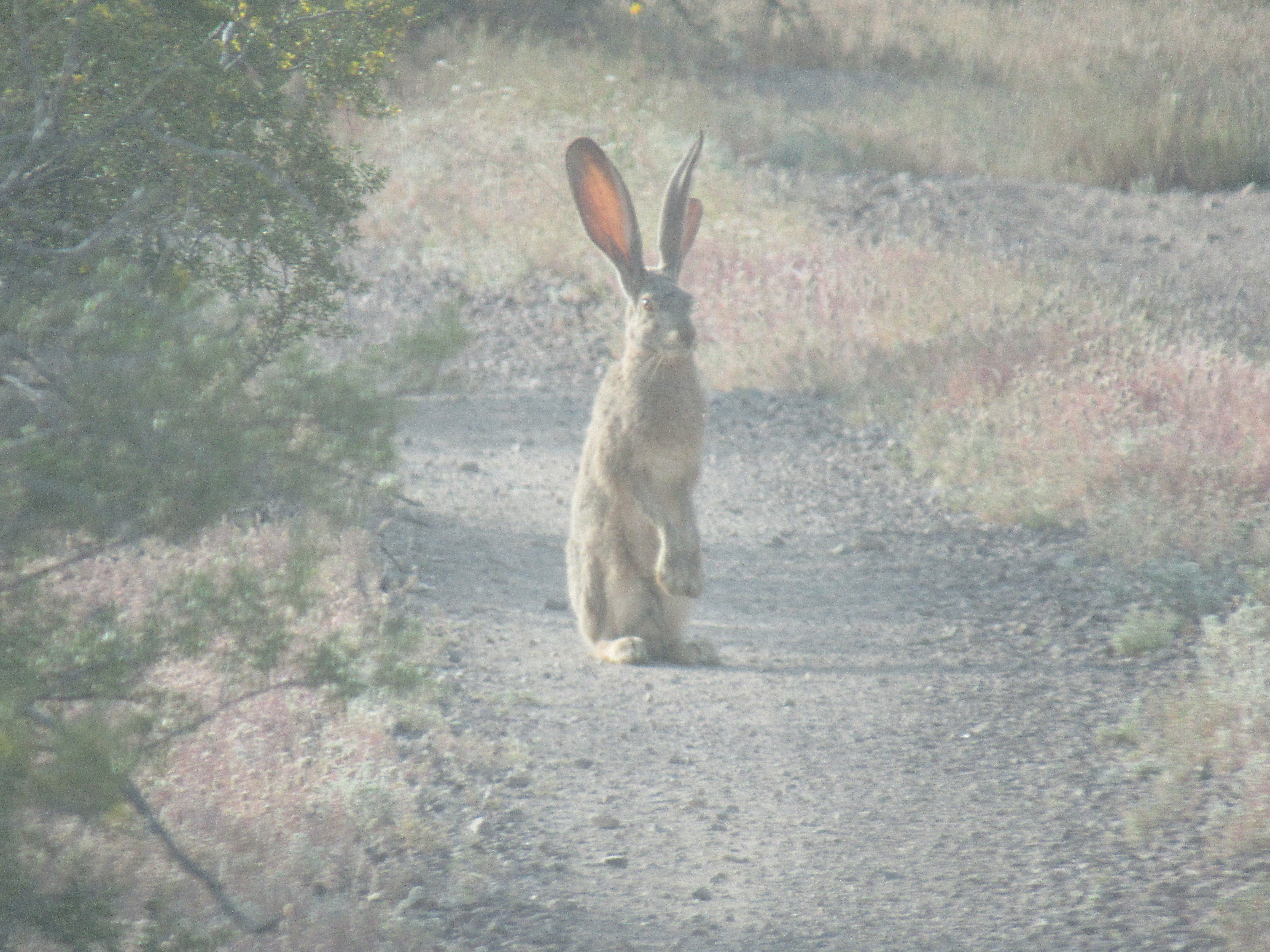
Jack
He seemed to relax after a bit.
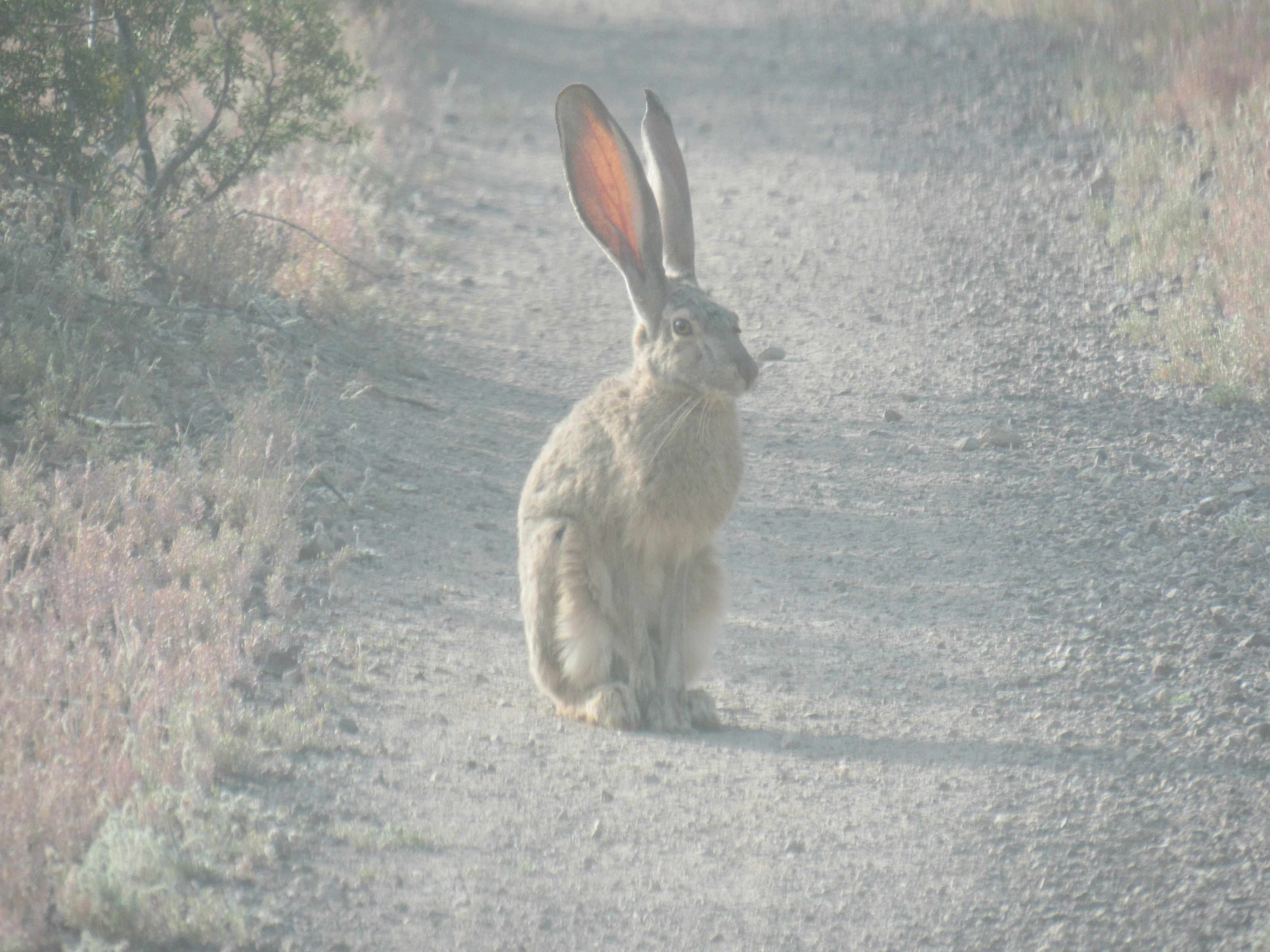
Calming down
And here’s a look at that face.
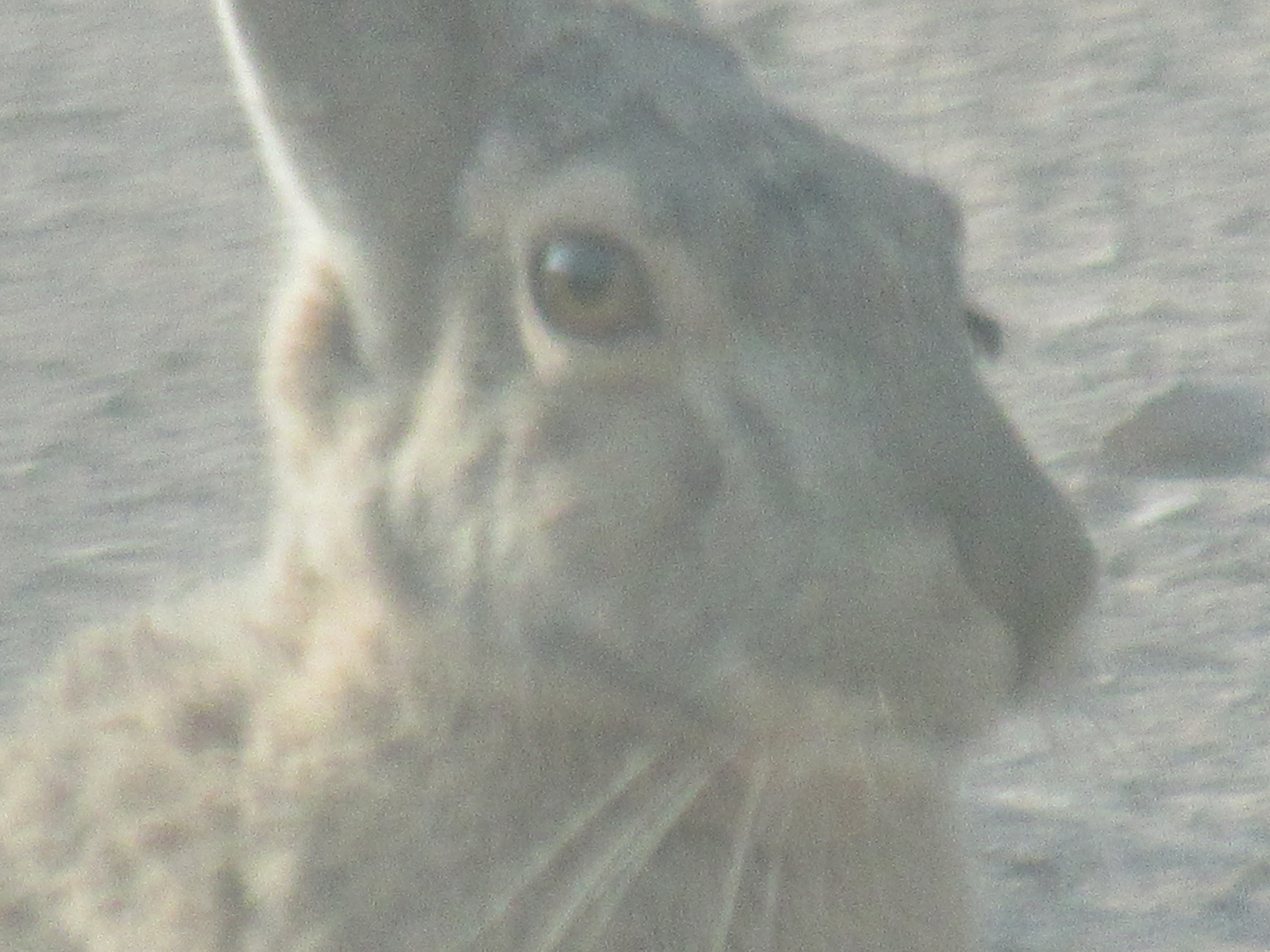
A face everyone could love.
I took several photos, but only through my windshield so as not to scare it away. Even when I stepped out of the truck, he remained still for a bit before finally running away. It’s quite possible that he had never before seen a human or a vehicle, living a quiet life out here in the Sonoran Desert, and so didn’t quite to know what to make of me. These are fascinating creatures, and I always enjoy watching them running at top speed into the distance. You can read more about them here.
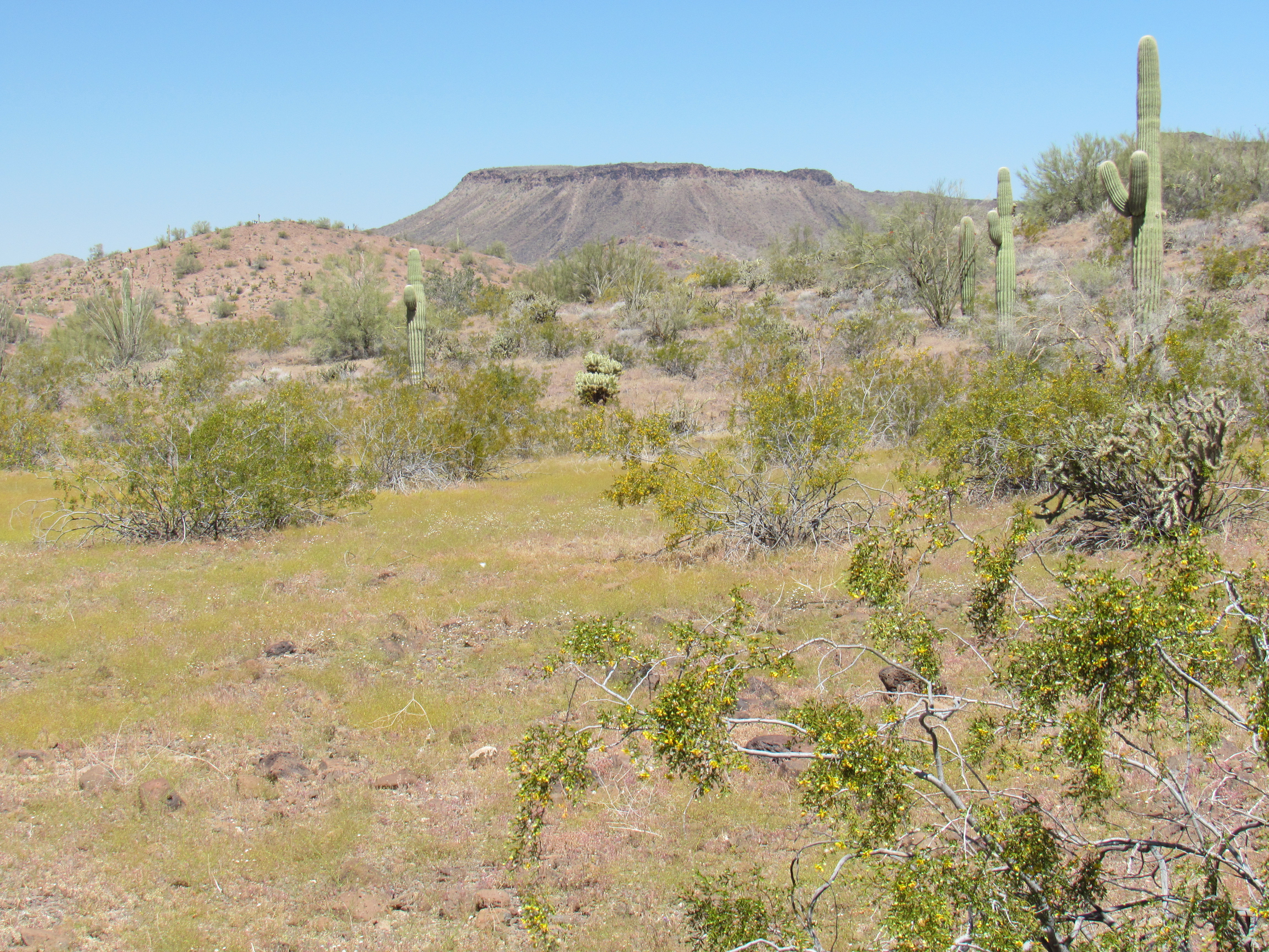
I made my way out to better roads, heading north and then west, covering many miles quickly and finally entering Kofa National Wildlife Refuge. I made a detour off of the main road and down south along a side road to a well at something called Charco Four. Charco is a Spanish word which can mean a natural water hole, but I don’t know if such a thing ever existed here on this dead-flat terrain. I suspect it simply refers to the well. Here’s a photo of my next peak.
The summit is the bump in the middle, in the distance.
Parking near the well, I set out quickly across the desert and climbed nearby Peak 1841. On its summit I found a register, and was surprised to see that my friend Barbara Lilley, first ascender of many peaks in the range, had soloed it 5 years earlier at the tender age of 85. Barbara, you never cease to amaze and inspire me! It was a quick climb and I was done in under an hour. Now would come the final phase of my involvement with the Little Horn Mountains.
Three weeks earlier, I had planned to do a loop through a remote piece of desert in the Kofa Wilderness Area and climb 3 peaks. Well, I didn’t do it because I chickened out. It seemed a little daunting, and I knew that if I wasn’t in the right mood for it, the experience wouldn’t be a good one. Now, I felt really psyched – I knew it’d be challenging, but I was in the mood and the weather was going to be tailor-made for such an exercise.
I drove to Craven Well along the Kofa-Manganese Road, then half a mile beyond. You’re allowed to camp or park within 100 feet of the road, but not beyond. I found a good spot that ticked all the boxes, theirs and mine, and settled in. I wanted to be completely ready this evening so I wouldn’t lose any time getting an early start. I phoned home; I loaded my pack with everything I’d need for a long day, including 4 quarts of electrolyte, food, clothing, maps, instruments, a spare register – everything. My pack weighed 20 pounds, but that was okay, I was ready for anything. I burned my trash, I cooked a double portion of pasta for the carbs I’d need tomorrow, and turned in early.
My alarm awoke me at 4:30 AM to a chilly 51 degrees. With no clouds at all, the dark sky was full of stars. After a bite to eat, I packed all of my gear into the truck and locked it. Although I hadn’t seen a soul since arriving here over 12 hours earlier, I didn’t want to tempt anyone by leaving gear strewn about. Wearing a powerful climber’s headlamp, I set out at 5:20 – the game was afoot.
The interesting thing about climbing by headlamp is that your entire world has shrunk to the circle of what is revealed by your light – nothing else exists. It works well for things on a smaller scale, but you can’t see the big picture. For example, you can see a nearby cactus to avoid it, but it may be hard to make out a cliff or a canyon a hundred yards away. My plan, at least for the first part of the day, was to walk in a straight line as much as possible and make a beeline for the first peak. In theory that works fine, but the desert is full of all manner of crap that gets in your way. Trees, nasty brush, cliffs, canyons, washes can all slow you down.
I knew ahead of time that I’d find very little level ground on the way to my first peak. Both maps and satellite photos showed that I’d be traveling “across the grain”, or at a right angle to the main direction of the drainage. In plain English, that meant I’d be doing a lot of up and down, even though my starting point at my truck and the base of the peak were at about the same elevation.
As I walked, the first inklings of daylight began to grow in the east. I still needed the headlamp to see my way, but less and less, until eventually I realized that I could see well enough without it. At 5:45, I put it away in my pack. The day grew bigger and bigger, and I could see farther ahead. In the cold light of day, I had my first good look around. Luckily for me, my route wasn’t too brushy and I had pretty good visibility. Eventually, the sun rose and slowly climbed the blue miles of sky.
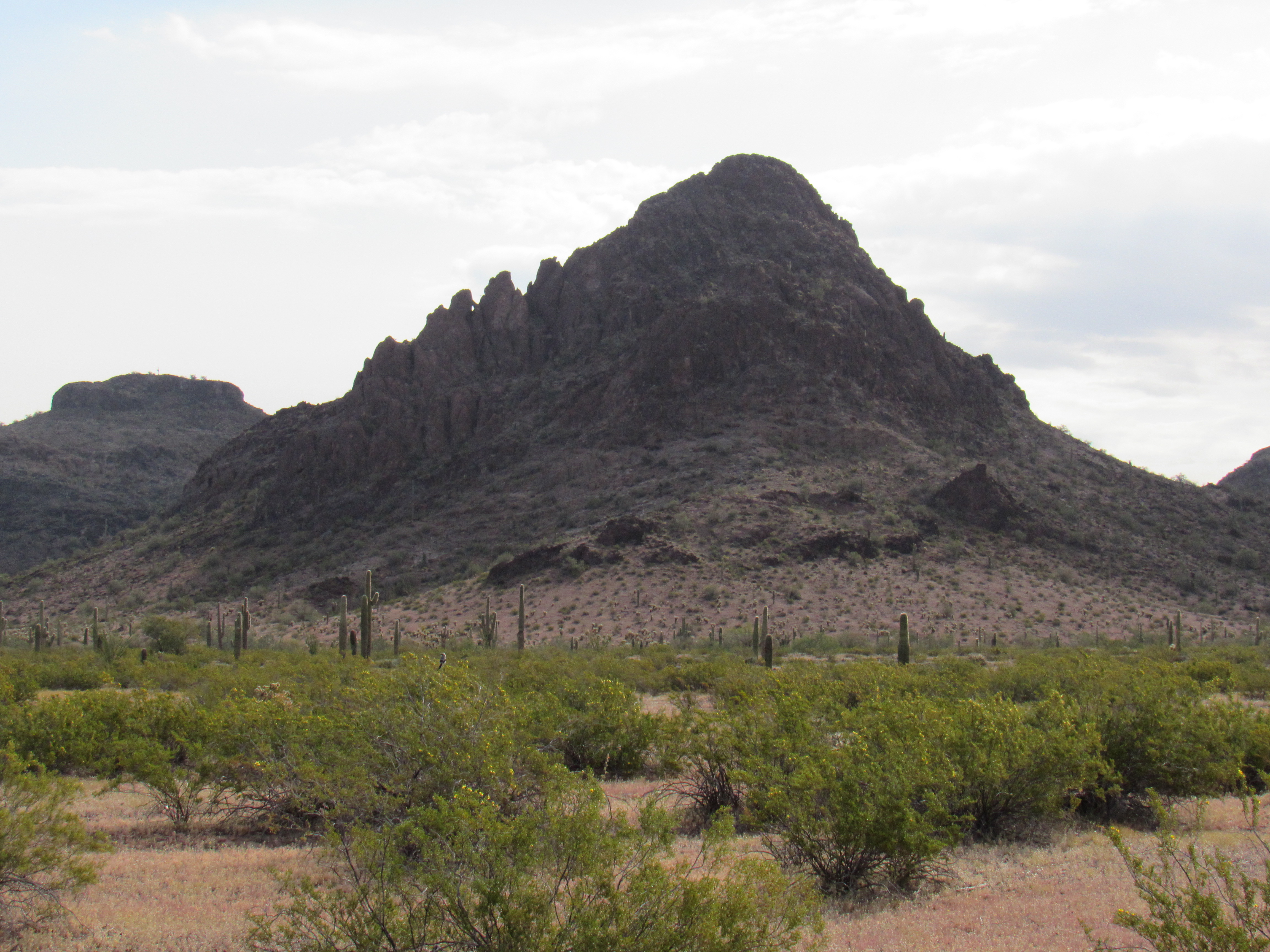
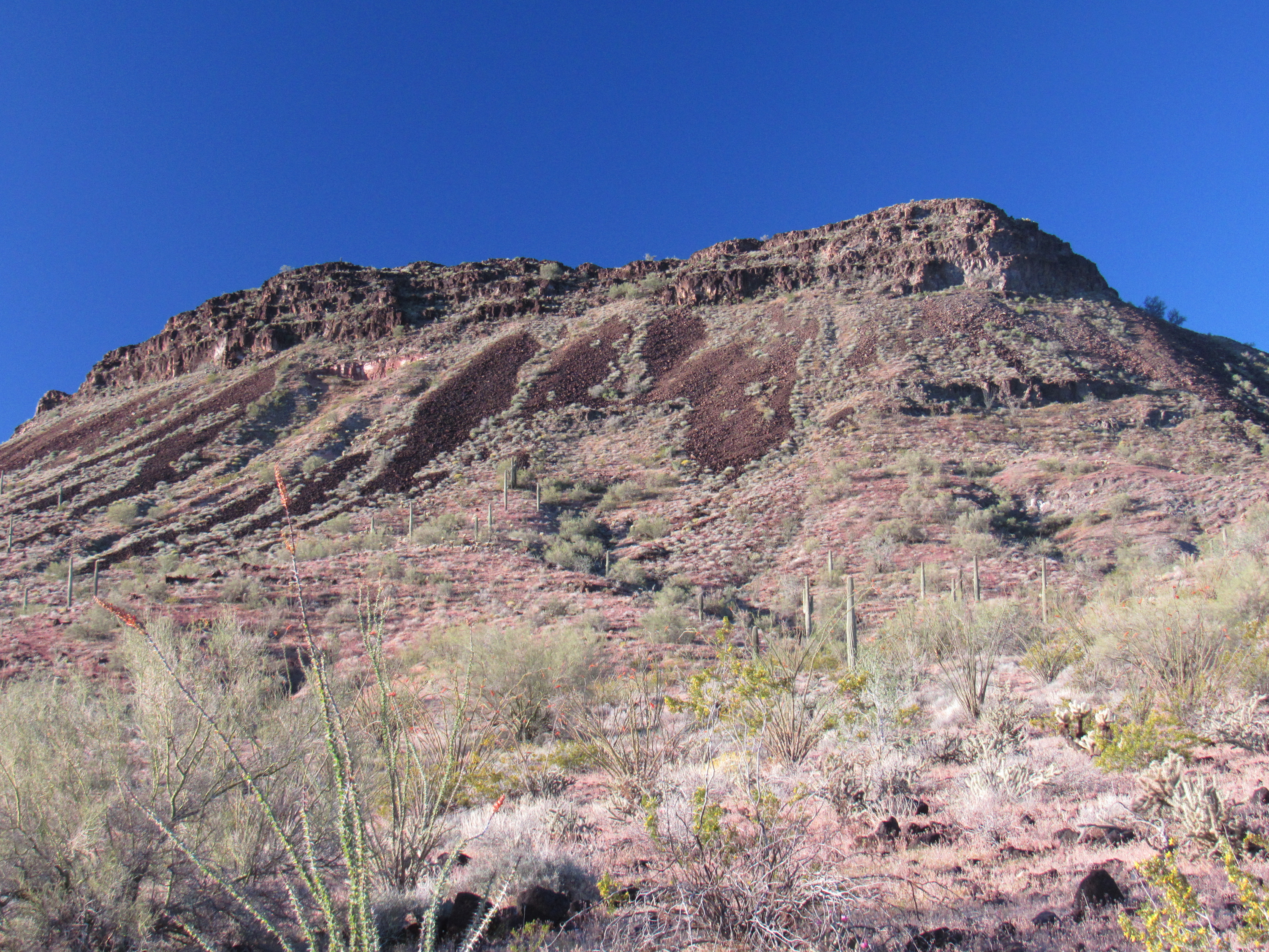
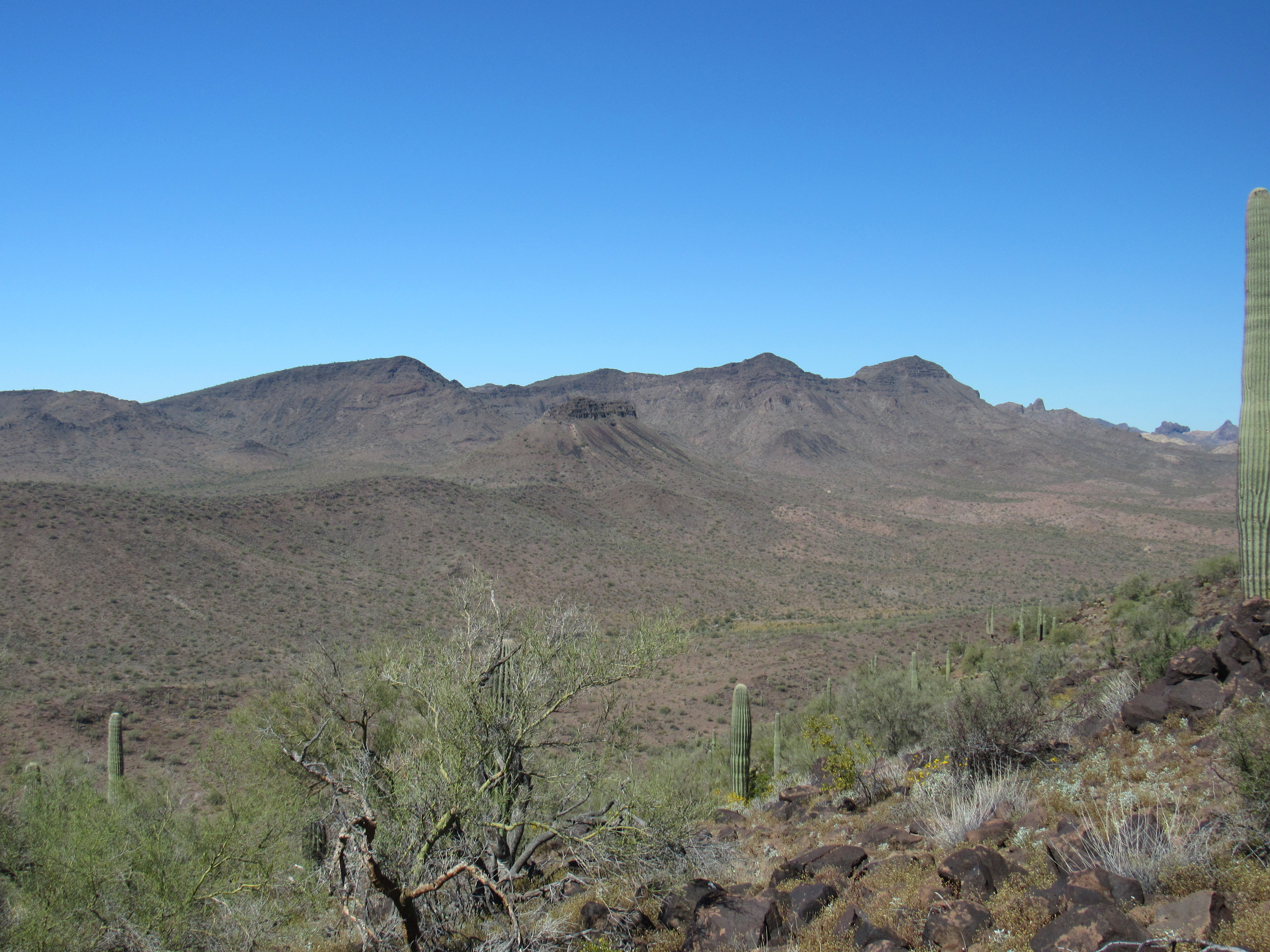
I keep track of any extra elevation gain that isn’t revealed by the contour interval of the map I’m using. I knew in advance there’d be a lot of extra up and down involved in reaching that first peak, but 520 feet – wow! – that was more than I expected. Peak 2625 was a fine-looking mountain, as you can see by this view as it grew nearer.
Peak 2625
The final 800 feet of the north slope were fairly steep, much of it on large talus; I found my way through the cliff band at the top (this had concerned me from afar) and in a few more minutes stood on the summit. Here’s a look just as I was starting up.
The north slope of Peak 2625
Great spot! A lone saguaro stood at the highest point, very prominent.
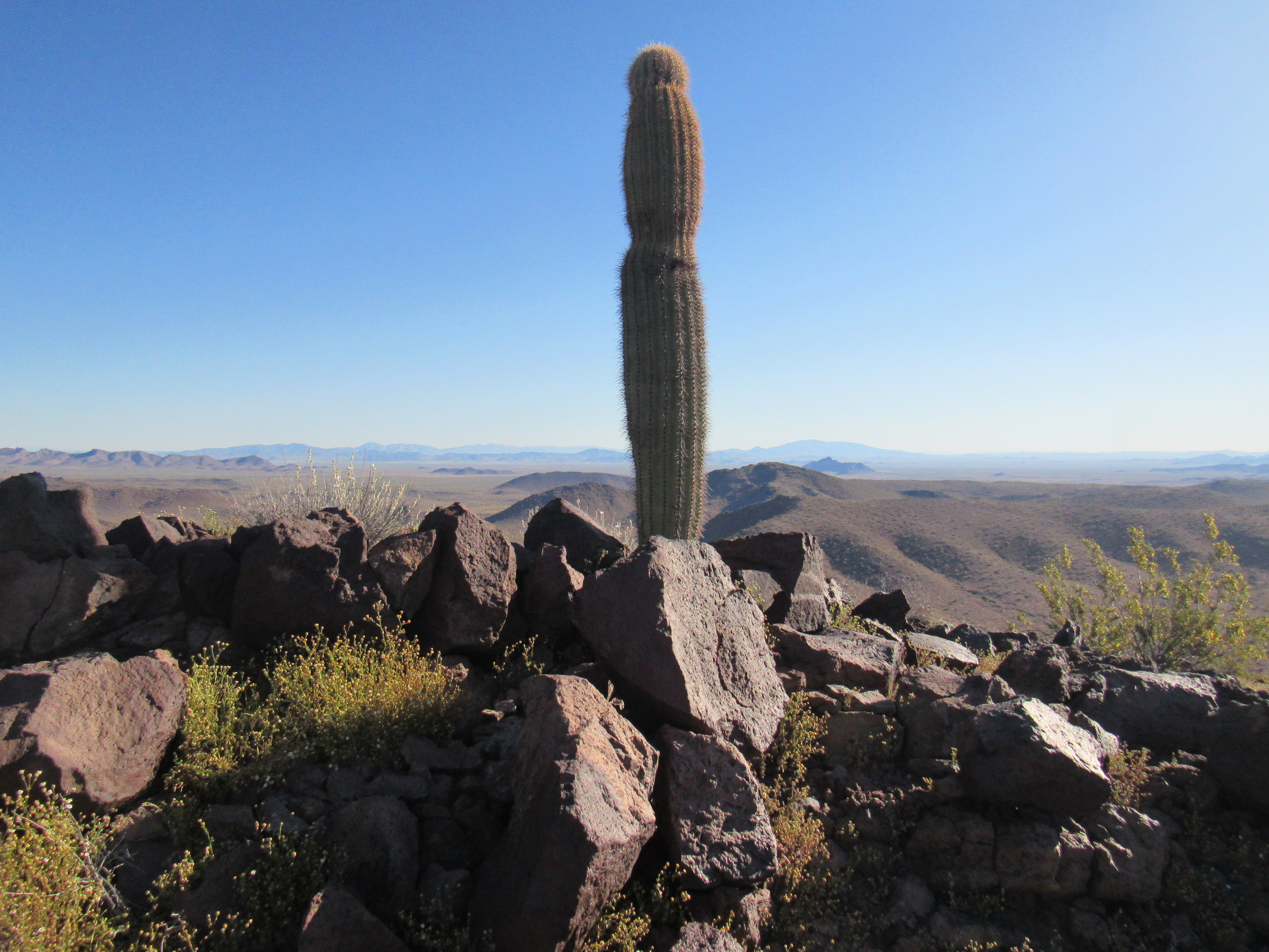
The summit
The register had been left by Bob Martin and friends way back on February 21, 1994 – nobody else had visited in the intervening 25 years. It was 8:00 AM, and it had taken me 2 hours and 40 minutes to cross the desert and do the climb. Here’s a look back to the north to my camp. See the long flat peak on the horizon, just to the left of center? At its base is a little hill. I’m parked there.
A look back to my truck
It would have been nice to linger, to savor some of these views, but I still had so far to go – I left after 20 minutes. Part of the way down the north slope, I took this picture of my next peak. It was a couple of miles away, and going to it would put me even farther from my truck. And of course, the summit was on the far end, way out on the right side.
Peak 2398
I’d been seeing a type of cactus in bloom for the past few days, a nice pale pink flower.
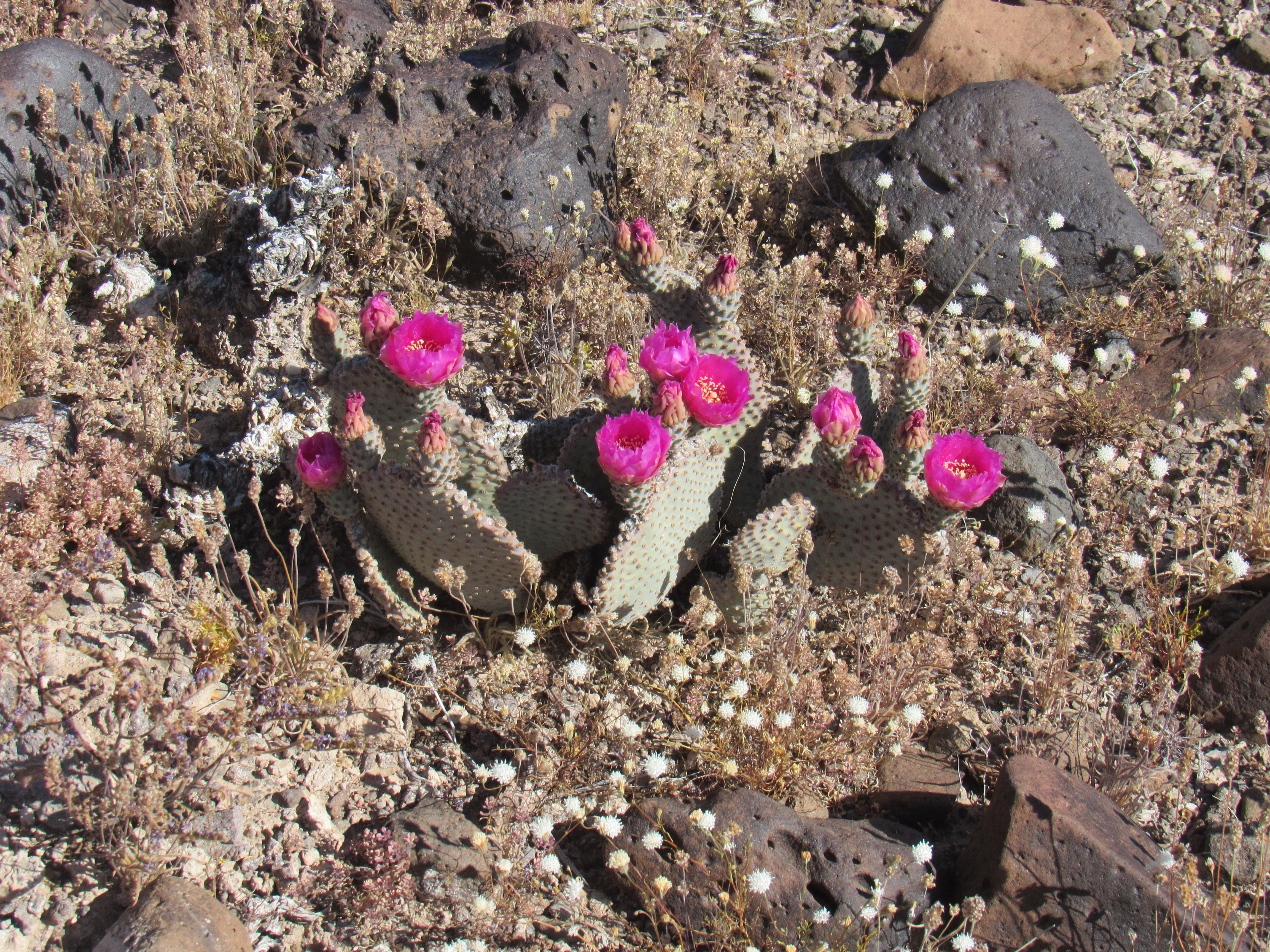
Cactus in bloom
Once down to the valley bottom, I crossed a low ridge and started up a lesser valley, getting closer to that second peak. The day was warming up, and I was already sweating up a storm. After a while, I angled up the slope to reach the summit ridge, and still had to climb a couple of hundred feet more to stand on the summit. It was ten o’clock, and even though that seems early in the day, I’d already been on the move for almost 5 hours. I found the register (I knew it’d be there somewhere) and checked it over. Bob Martin and his friends had signed in on the same day they’d been on Peak 2625, and five years later, Barbara Lilley and Gordon MacLeod had paid a visit – even that was 20 years in the past. Nobody had been there since. From the top of Peak 2398, I had this view back the way I’d come.
A look back
See the 3 peaks on the horizon? The one on the right is the range high point; the one on the left is Peak 3090, the 3rd-highest in the range. Right in the middle of the photo, just below the horizon, can be seen a peak with a dark cap – that’s the first one I did this day.
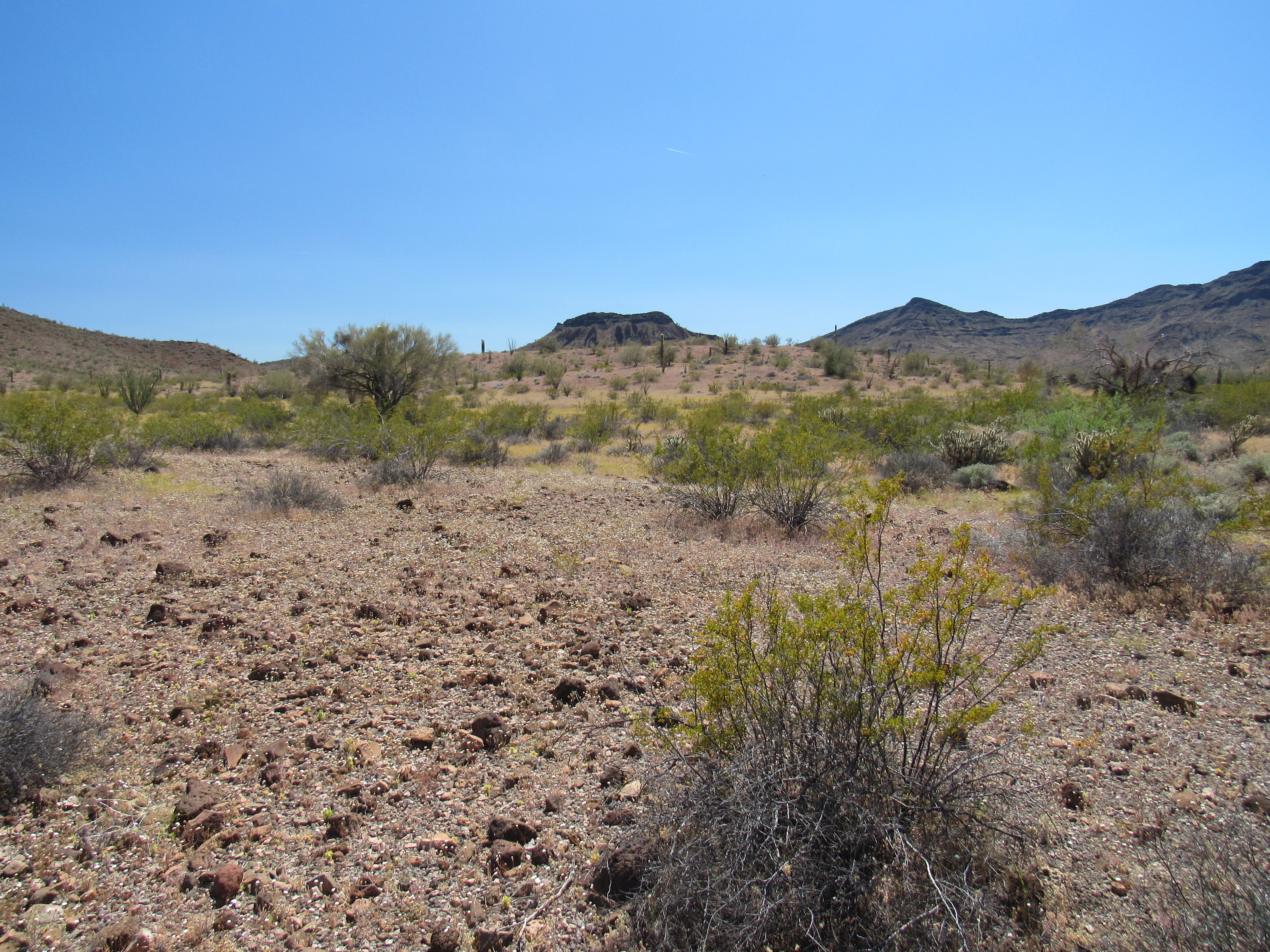
Okay, enough of that. Here’s another important view I need to show you. See the single tiny, dark peak near the middle of the photo, miles away? Just this side of it is a dark ridge – that’s about where my next peak is.
Looking towards the next peak
That still seemed a long way off. I made ready to leave, but this time I’d drop straight off the summit and down to a valley to the west. There were no short-cuts to my final peak, I’d just have to put in the miles. Once at the valley bottom, I walked it downhill until it joined a bigger valley. I kept walking until an even larger valley was reached. Here’s a brief look back.
Leaving my second peak behind
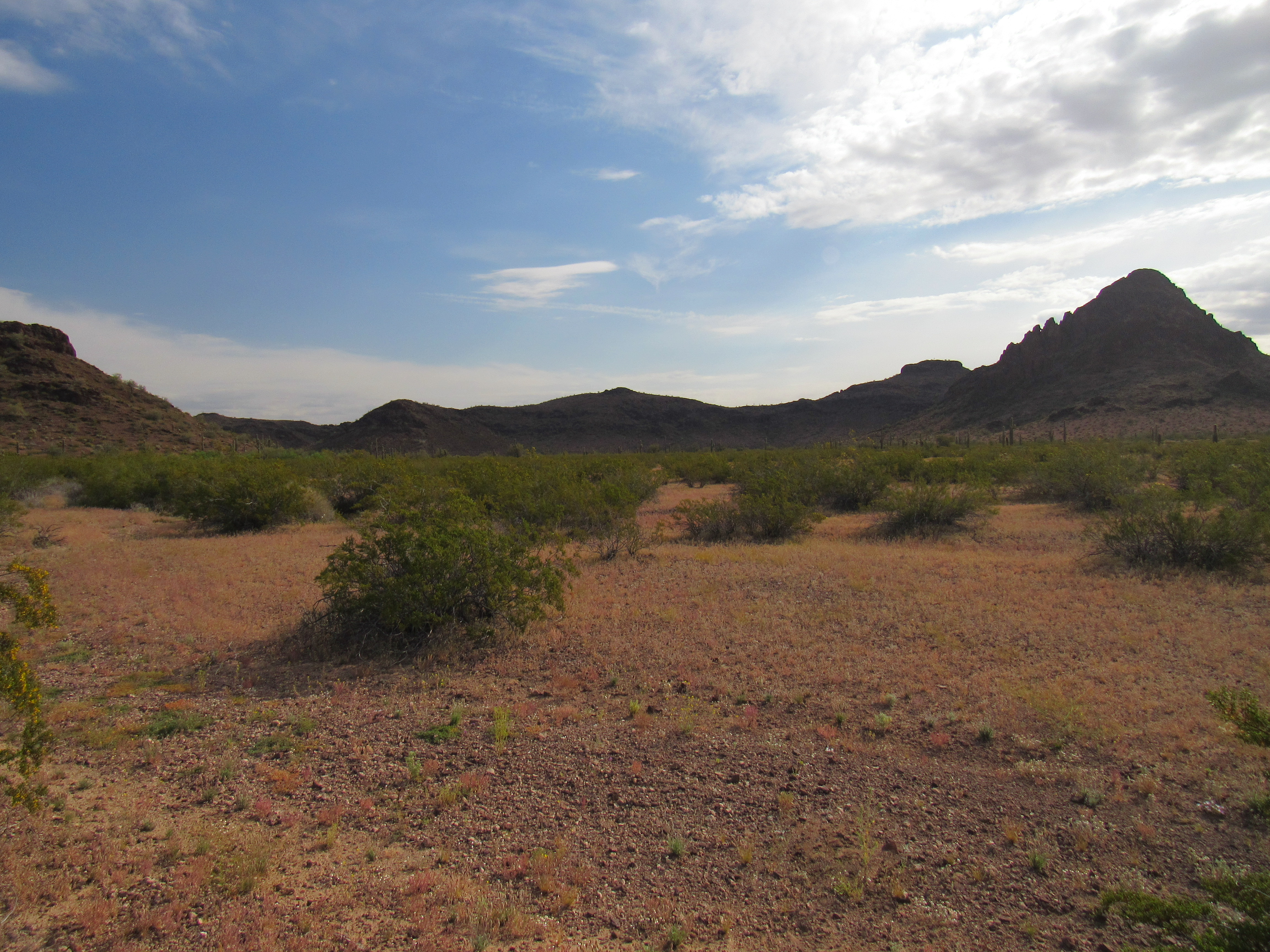
I kept walking, sometimes across easy desert, sometimes in a major sandy wash. It felt hot, and I was starting to wish for the day to be done. Alas, it wasn’t even close. I reached a point where staying in the wash didn’t help me any further, and it was time to head cross-country to my third and final peak of the day. This next photo is pretty typical of the terrain I was crossing.
Once I set out, it didn’t take me long to reach an easy ridge which I started to climb. The peak was right in front of me and was quite impressive. Along the ridge, I started seeing pieces of white rock lying on the ground. Picking up a few, I realized that they had a lot of well-formed, albeit small, quartz crystals – I soon had a pocket full of them.
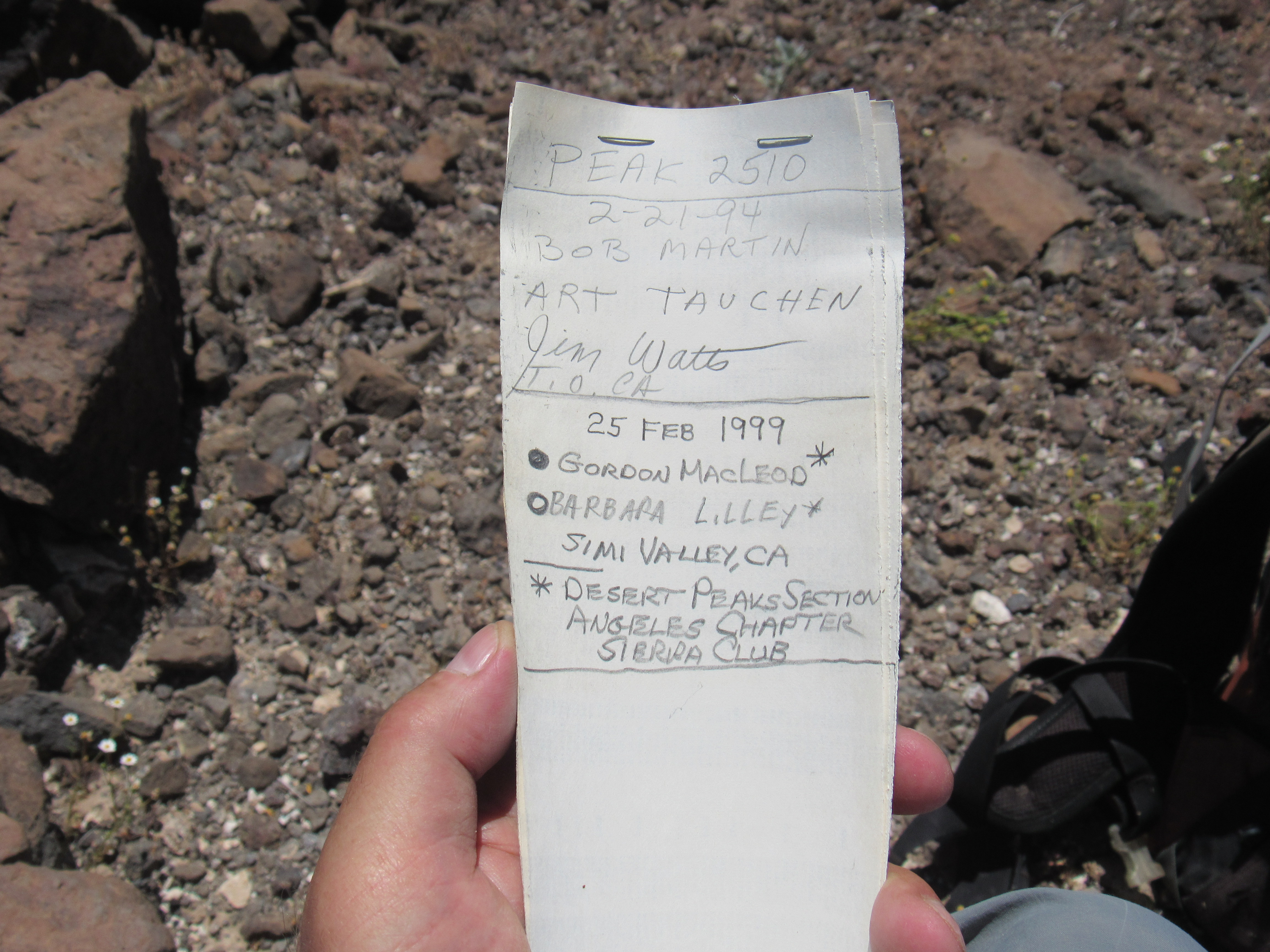
My ridge steepened until it ran me right into a cliff band. I zigzagged my way up through some loose rock and soon found myself on the summit ridge – this turned out to be the most enjoyable part of the entire day. There were interesting outcroppings of rock and several small cliff bands to negotiate, but in a short while I reached the summit. Finally, done! It was almost one o’clock when I arrived. The register was right where it was supposed to be, in a cairn right on the highest point. Opening it up, I found exactly the signatures I expected: Martin et al from 1994, and Barbara and Gordon from 1999.
I found a comfortable rock to sit on and ate something, signed in to the register, sent a satellite message to my contacts to inform them of my location, and had a good look around. The second peak I’d climbed, hours earlier, could be easily seen from here. It may look close, but this is a telephoto shot. Besides, my path from there to here had not been in a straight line – rather, it had been a miles-long semi-circle off to the right and out of the picture.
A look back to Peak 2398
My third and final peak of the day had been climbed, but I wasn’t exactly feeling overjoyed. There was still a long way to go with a lot of effort involved – I’d celebrate later. Climbing is a two-way street, and you have to safely finish the entire trip to consider yourself done. I did stick around a little while, but eventually started back down. The ridge was easy, then a careful descent through the cliff band, followed by the ridge (I gathered more crystals on the way down) and finally I arrived at the main wash. Here’s a look back to Peak 2510.
The west side of Peak 2510
One final section to complete awaited me – a trek across the desert, more or less in a straight line, over hill and dale, to get back to my campsite. I was hot and this felt like it wouldn’t be much fun. Sometimes I’ll put my cell phone in my shirt pocket and have it play my favorite tunes as I walk, to keep my mind off of my sore feet or whatever else is ailing me – that was the case now, and the strains of Voodoo Child, Choral Fantasy and the like kept me entertained. Part of the way through this last stretch, I had this view back to Peak 2625, my first of the day.
Peak 2625 – it’s the one poking up over the horizon right in the middle of the photo
Every time I’d come to a rise, I’d think that my truck would be visible as soon as I crested it, but that never seemed to happen. Man, my feet were sore! Finally, I had run out of desert and there it was – I was never so glad to see that old pickup. When I arrived, it was 3:20 PM. I had been moving for a full 10 hours, and my aching feet told me that that was the case. When I added up the stats for the day (I keep meticulous records of these kinds of things), I found that I had climbed 3,095 vertical feet (a pretty decent day) and had traveled 12.5 miles. It’s the mileage that I really felt – very little of it was on flat ground, nearly all was going up or down. I just can’t put in the miles like I used to. Oh yes, it was 81 degrees F. in the shade when I was done – not too bad. Of all the days spent on this project, this last one had been the pièce de résistance.
Once back at my truck, I unfolded my lawn chair, sat in the shade and took care of the most urgent things first: I took off my boots, and drank a couple of cold beers. When I finally felt up to it, I changed out of my sweat-pickled clothes and made ready to leave. By the time I made it back out to pavement (this time, Interstate 10 to the north, at Vicksburg Road) and drove all the way back to Tucson, a full 4 hours had passed.
In retrospect, this was a great project. My goal was to climb all of the peaks in the Little Horn Mountains, and in that I feel I had succeeded. I’d like to take a moment to go a little bit peakbagger on you and explain the parameters that I used to define this project.
First, I’d like to discuss the scope of the range itself. I had to set some boundaries, some edges beyond which I felt the range did not extend. The following are my opinions.
South – the huge Palomas Plain seemed a natural limit to the range on the south side. One peak, Alamo Benchmark, sits a little bit too far out from the rest of the range to be a part of it, so I felt it was an outlier and did not include it. Peak 1801 also sits a bit removed from the bulk of the range, but lines up well with Peak 2174 and Peak 1874. I don’t know if they’re geologically related, but it just felt right to me to include 1801 in the LHM.
East – this is a bit more complicated. I feel that Nottbusch Valley is a reasonable eastern limit to the range, so Deadman Mountain would not be a part of the LHM. However, if I held to that strictly, that would put the Clanton Hills within the Little Horn Mountains. I’ve left them alone, as they are a named group on their own, and the rest of the LHM sits some distance apart from the hills. But what about Peak 1535, which sits between the LHM and the CH? It could be argued that foothills of the CH extend west and encompass the area around 1535. It could also be reasoned that 1535 sits a bit farther from the LHM than it does from the CH, so might not make the cut for the LHM. Let’s say we include it for now.
West – I used the Kofa-Manganese Road as the western boundary of the range. It seems a natural division between the LHM and the Kofa Mountains – it follows a valley which includes Red Rock Pass. The Kofa Mountains appear clearly-named to the west of the road. I did include Peak 2770 in the LHM rather than the Kofas.
North – the huge Ranegras Plain stretches all the way across the north side of the LHM. One consideration is the impact of the New Water Mountains, on the northwest corner of the range. A study of the NWM shows an extension to the southeast, and I feel that Peak 1841, Point 1741 and Coyote Mountain could well be considered to be part of the NWM. Even if you don’t include Coyote as part of the NWM, I think it’s a stretch to count it among the Little Horns, and at best it’s an outlier and is not part of any range.
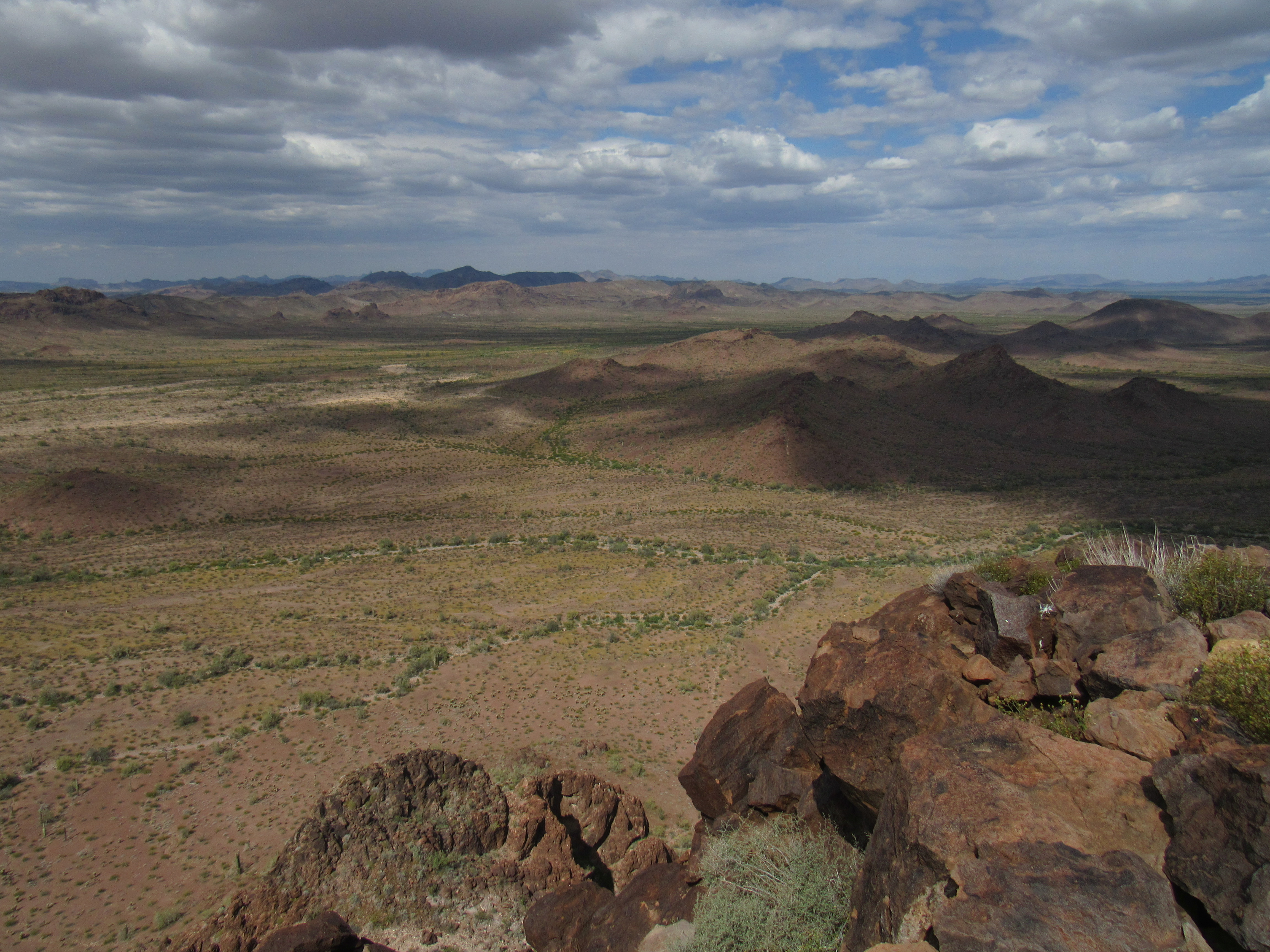
I’d also like to mention others who went before me and had a significant impact on climbing in the Little Horns. For the sake of this discussion, we will include Peak 1801 and Peak 1535. That makes a total of 40 ranked peaks, plus 1 interpolated peak, for a grand total of 41 peaks in the Little Horn Mountains. Several people stood on fewer than 5 of the peaks. Mark Nichols climbed 5 of them. Ted Brasket climbed 7. Then came the heavy hitters. Bob Martin climbed 20 of the peaks. Gordon MacLeod did 29 of them. Barbara Lilley completed 31. Nobody did more first ascents than Barbara and Gordon in this range though, nobody. Yes, I may have been lucky enough to climb all 41, but I was a late bloomer – in the entire range, I only found 4 peaks that appeared to have not been visited by climbers before me. Here’s a final look at what I had to do for this project. Thanks for keeping me company.
My total stats for ALL 41 peaks: vertical feet – 32,270; miles on foot – 105.1; climbing days – 22