In the southeast corner of Arizona, hard by the Mexican border and only 23 miles from the state of New Mexico, sits a small mountain range known as the Perilla Mountains. There’s not much to it – only 11 miles long and boasting a dozen peaks – it runs north-south. It actually crosses briefly into old Mexico for a mile or so before grinding to a halt at Mexican National Highway 2. All of Perilla’s peaks top 5,000 feet, while its highest, College Peaks in the north, exceed 6,000.
It can be a tough area to access. Most of it is Arizona State Trust Land, often leased by ranchers. There’s a tiny bit of BLM land, but what doesn’t belong to the state is privately-owned. Locked gates abound, making for some long approaches to many of the peaks. The only time I’d climbed in the Perillas was back in August of 1988 when I went in to climb the range high point.
The name Perilla is of course Spanish. It derives from pera which is the word for pear (the fruit), so perilla in its truest sense means pear-shaped. Early settlers probably named the range because they felt that some of the peaks were shaped like a lobe or a knob, just my guess. The word is also used for a goatee. No doubt Mexicans came up with the name somehow.
It has been the most amazing month of May, the coolest we’ve had in 40 years. Everybody’s been talking about how it’s like we’re in some kind of Twilight Zone, it’s so freakishly wonderful. The prediction was for a temperature only in the high 70s, so Andy and I just had to go and climb something down that way. We met at 5:00 AM, hopped in his truck, drove a couple of hours to Douglas, Arizona, then out to the mountains and parked at the end of a rough dirt road. It was 7:45 by the time we set out.
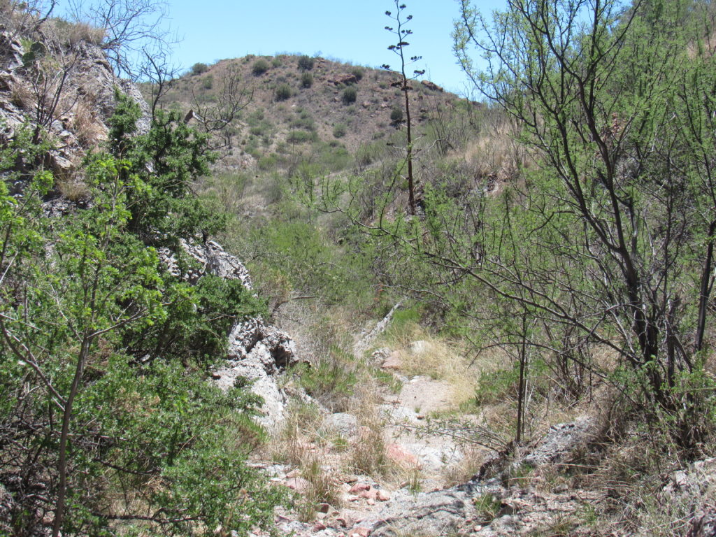
The weather could not have been more perfect. Under the bluest-blue desert sky, we dropped down into a sinuous wash and followed it upstream for maybe three-fourths of a mile. It wasn’t a cakewalk – there was plenty of thorny brush to push through.
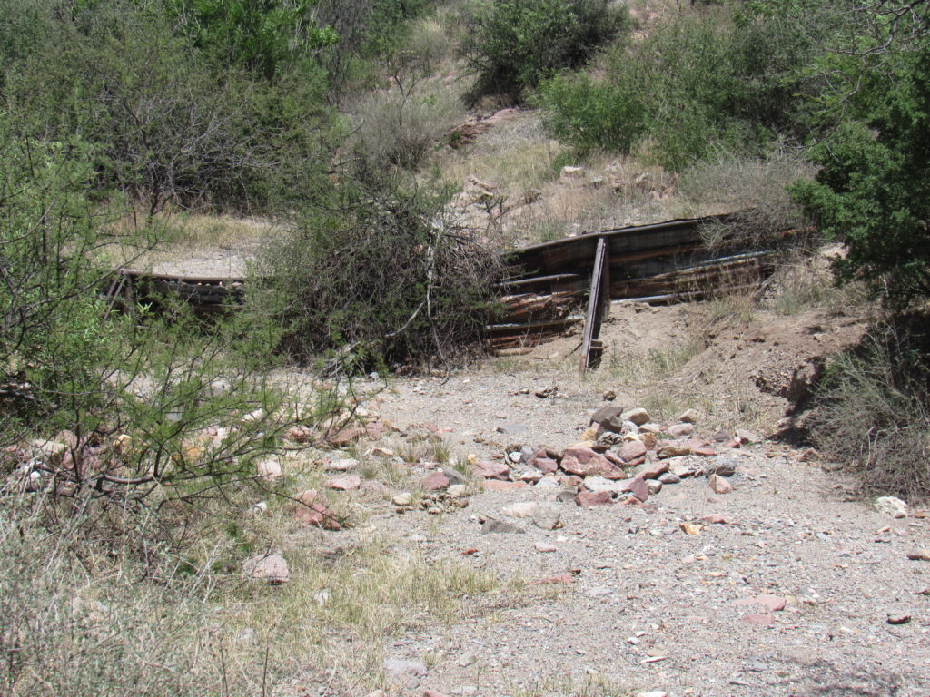
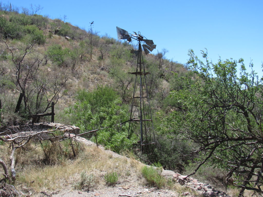
Along the way, we passed the remains of an old dam and a ruined windmill.
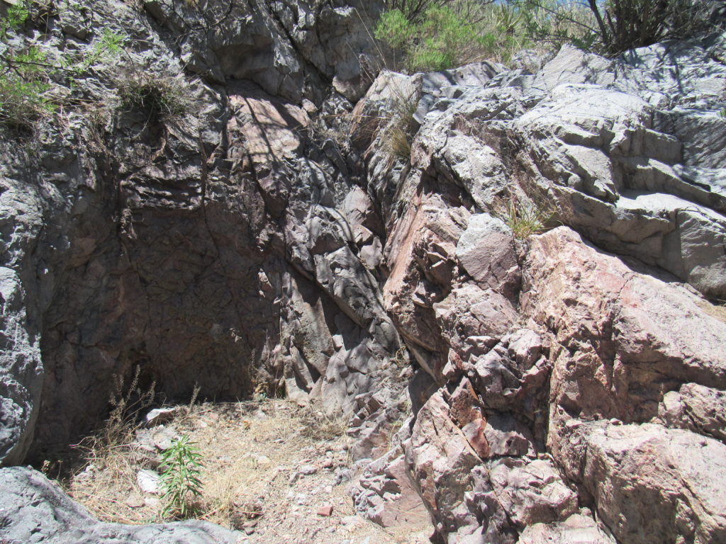
There was even a small waterfall to climb.
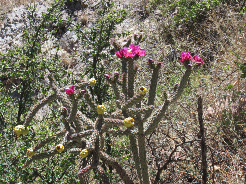
We passed plenty of cholla cactus in bloom.
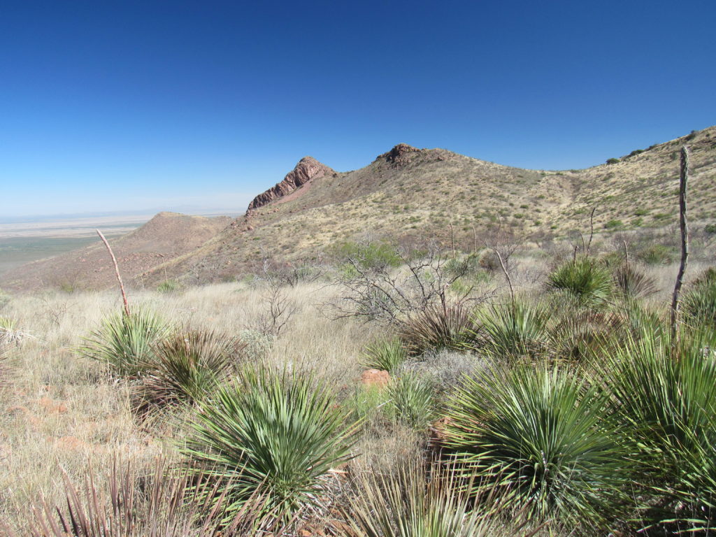
It came time to leave the canyon and head up on to more open slopes. It was a steep, loose climb up, one we knew we wouldn’t repeat on the return – we’d just find another way. Once up on to an open ridge, we had our first view north to our goal, the 2 bumps in the middle of the photo.
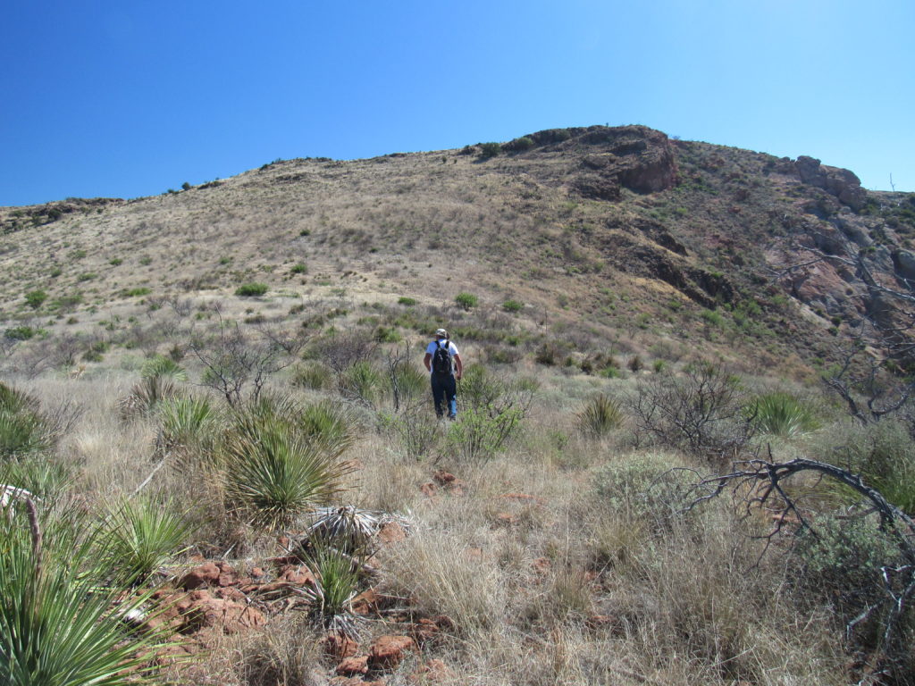
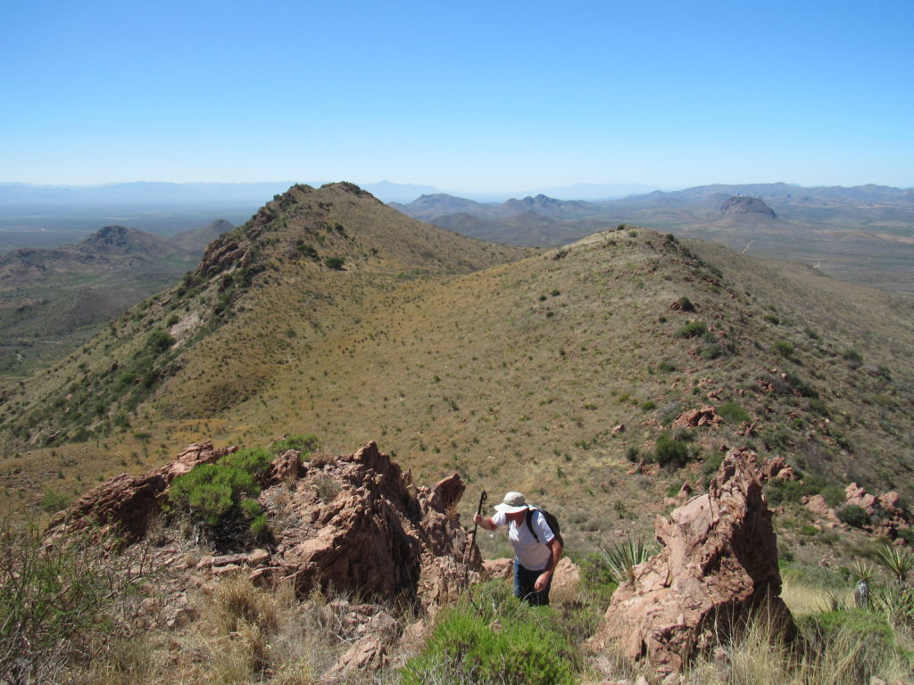
The ridge was broad and open – here’s Andy heading up it.
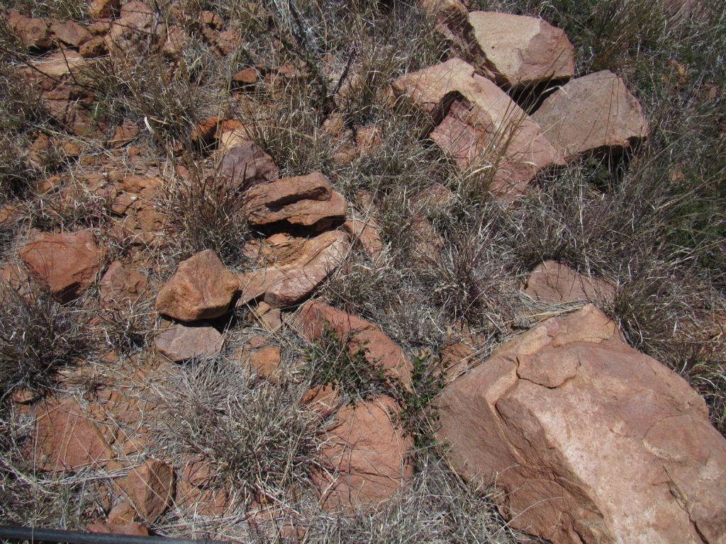
Even though there were no obstacles along the ridge, the ground was stony – you had to watch every footstep so as not to twist your ankle. Much of the route was covered with weeds hiding the rocks from view.
The higher we climbed, the more expansive the views became.
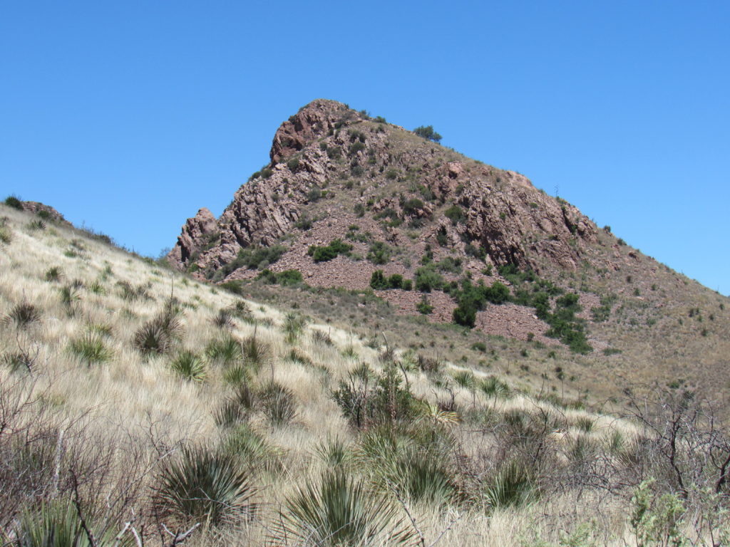
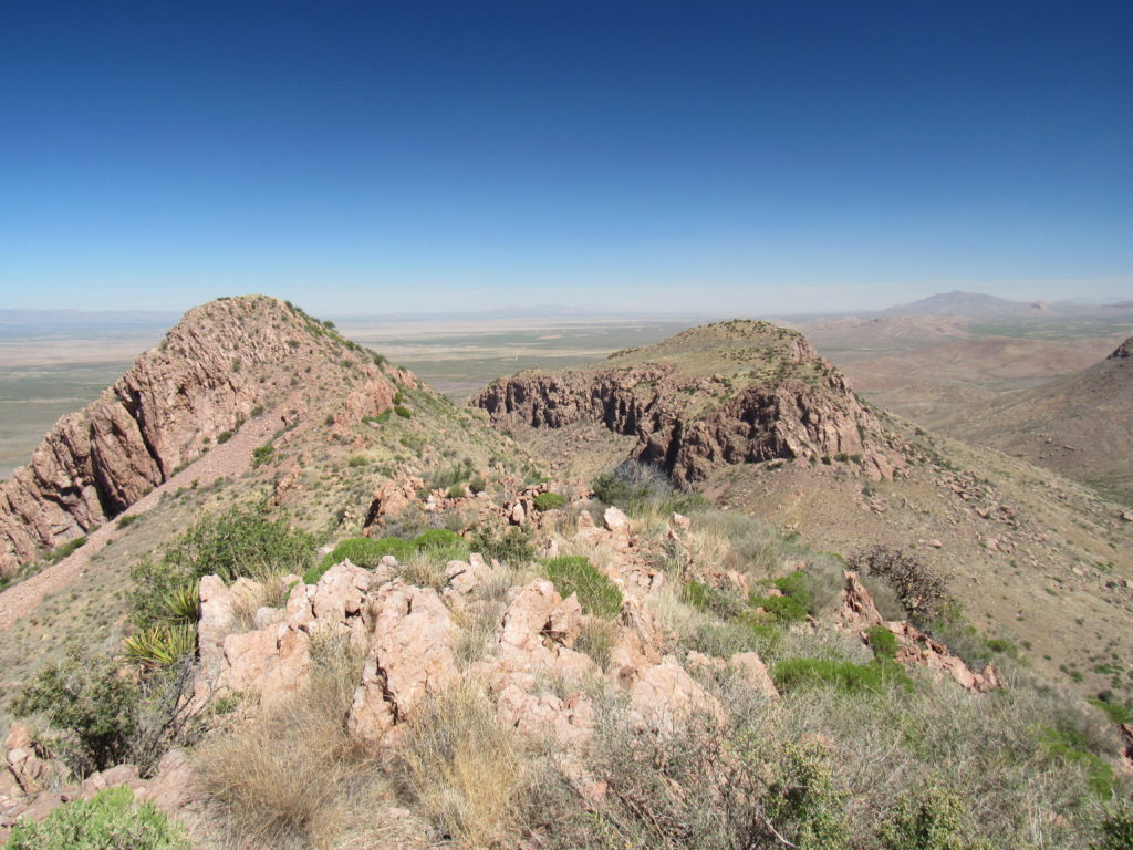
We topped out on the ridge, carried on through a saddle, then had this first good look at our first goal.
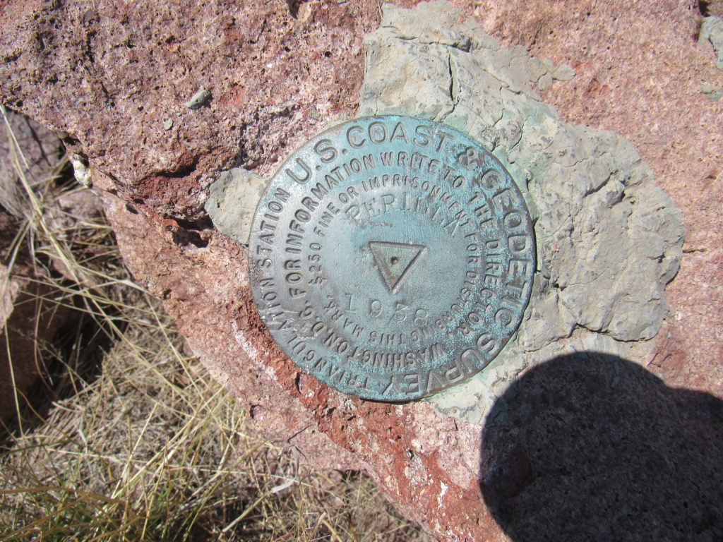
About 2 hours after starting out, we arrived at the top of Perilla Benchmark, elevation 5,919 feet.
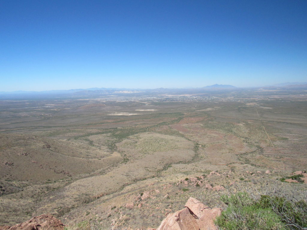
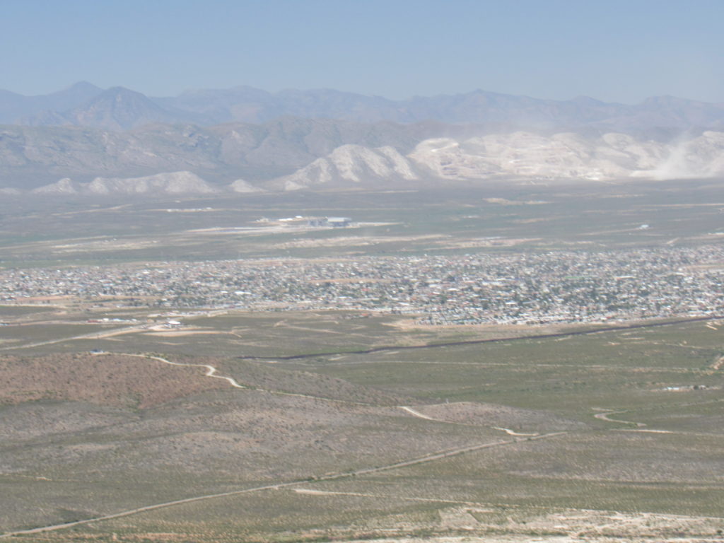
Looking west, we had this view of the city of Douglas.
We were only 3.5 miles from Mexico. A fact of life along the border near Douglas is the tall border fence, easily seen in this telephoto shot as a dark line. The state of Sonora, Mexico is on the far side.
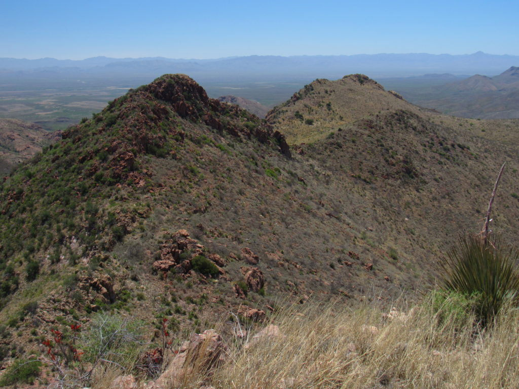
From the top of Perilla Benchmark, we had this look north over to nearby Peak 5940 on the left. It is clearly higher than where we stood.
Less than an hour later, we stood atop 5940. To emphasize the difference in height, here’s a look back south at Perilla Benchmark, on the left.
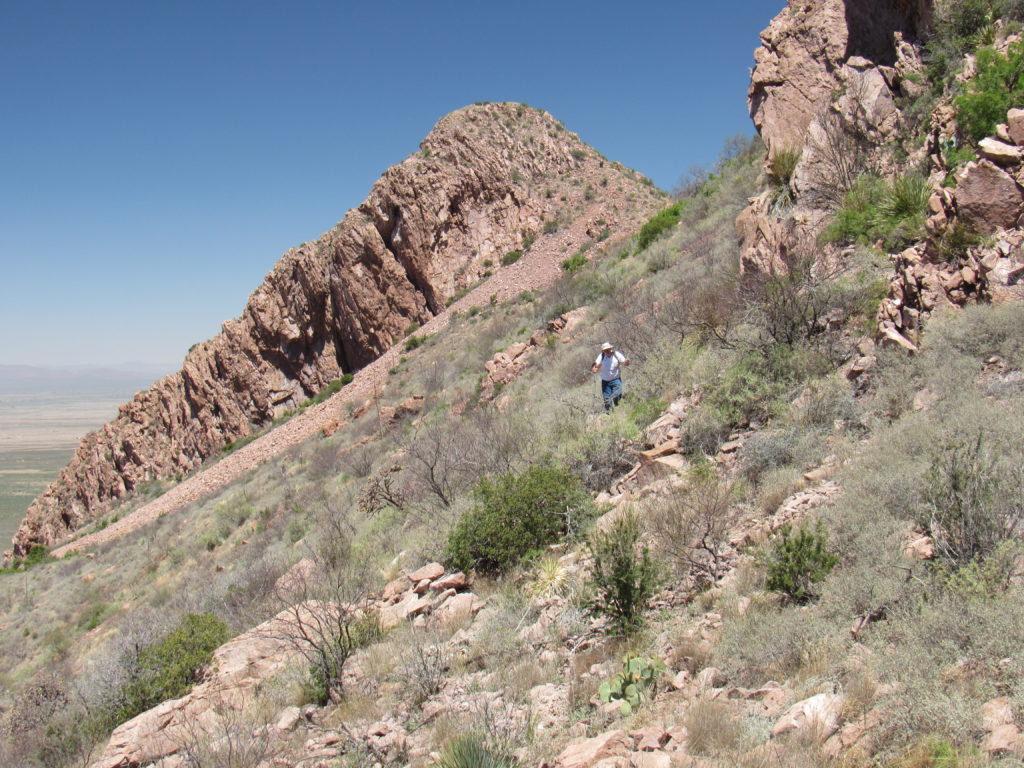
We ate lunch. and because we found no trace of a register, left one of our own. Instead of climbing back over the benchmark, it was decided to traverse below it. It was a bit of a bushwhack – every single plant that felt itself capable of growing thorns had done so.
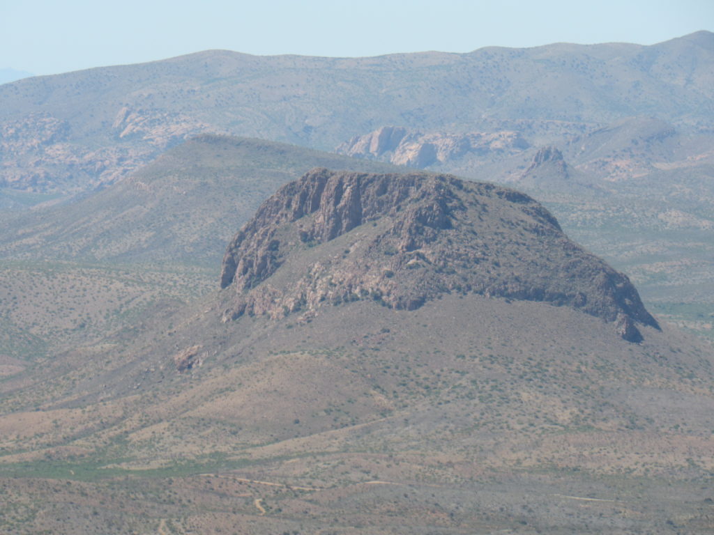
We reached a saddle and took a break. There, we discovered a lot of trash definitely left by Bad Guys heading north into the U.S. Given our proximity to Mexico, that was no surprise. In fact, here’s a telephoto shot of Cerro Gallardo, only 1 KM into Mexico and a mere 4 miles from where I stood.
Our return to the truck was pretty uneventful, and 5 hours after starting out, we were back. Andy suggested climbing one more, as it was only about one o’clock in the afternoon. After driving back out to the main road called Geronimo Trail, then east along it a couple of miles, we discovered a decent road heading south. A short drive later, we found ourselves right down at the border with Mexico.
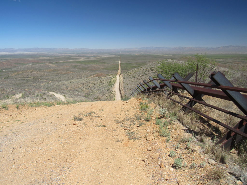
Along every mile where it’s humanly possible, the Border Patrol has spent a lot of money to be certain that the road which parallels the border is in really good condition. It is wide and well-graded, and they make sure it stays that way. After reaching it, we turned west and before long found ourselves climbing up a steep hill – really steep. Here, you can see the Normandy-style vehicle barrier, which is normally used in steeper places. We are looking east along the border towards New Mexico.
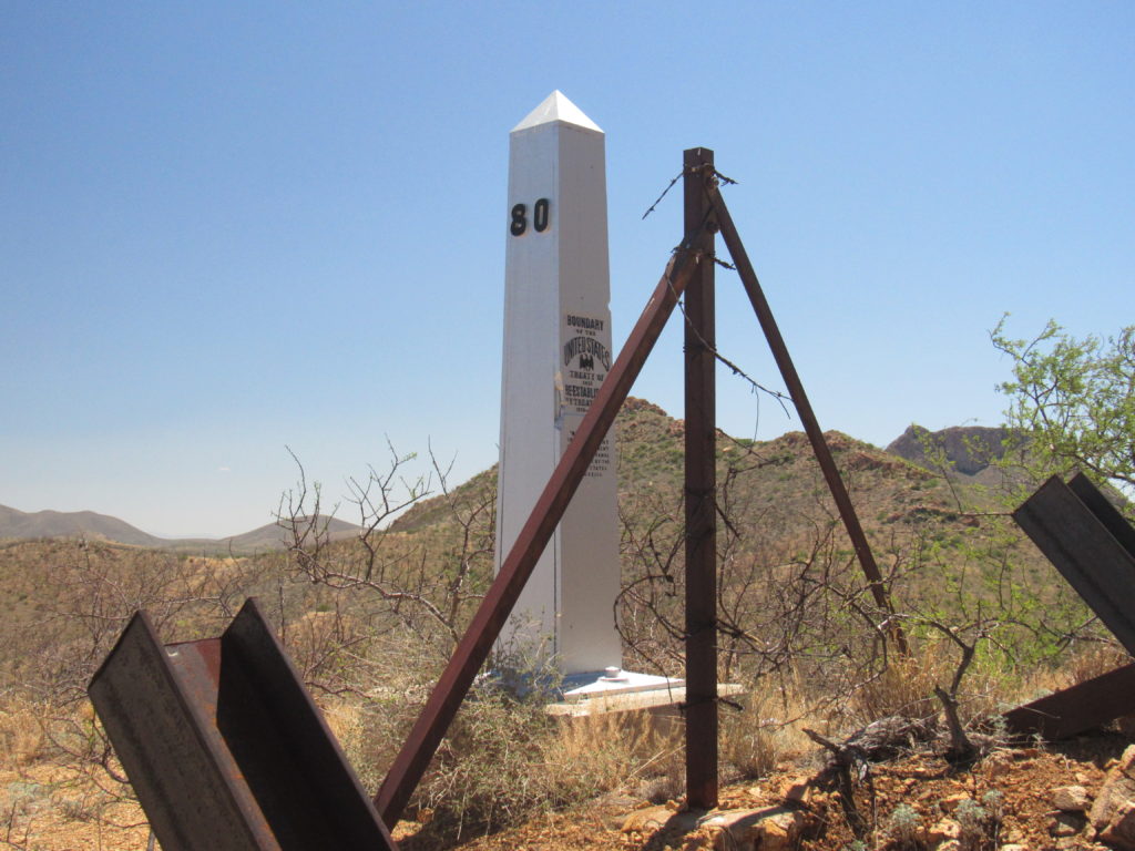
At the crest of the hill sat Border Monument 80, which sits exactly on the international boundary. They erect the barrier 15 or 20 feet on the US side of the border, so there’s no complaint about its taking up Mexican space. 276 of these obelisks mark the length of the border with Mexico.
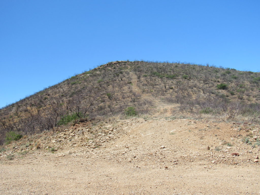
A short road led northwest uphill from the monument. From its end, a steep trail wound up to the top of Peak 5020. Its summit lay only 520 feet from the border. Bad Guys had boldly constructed a rude rock windbreak on the top.
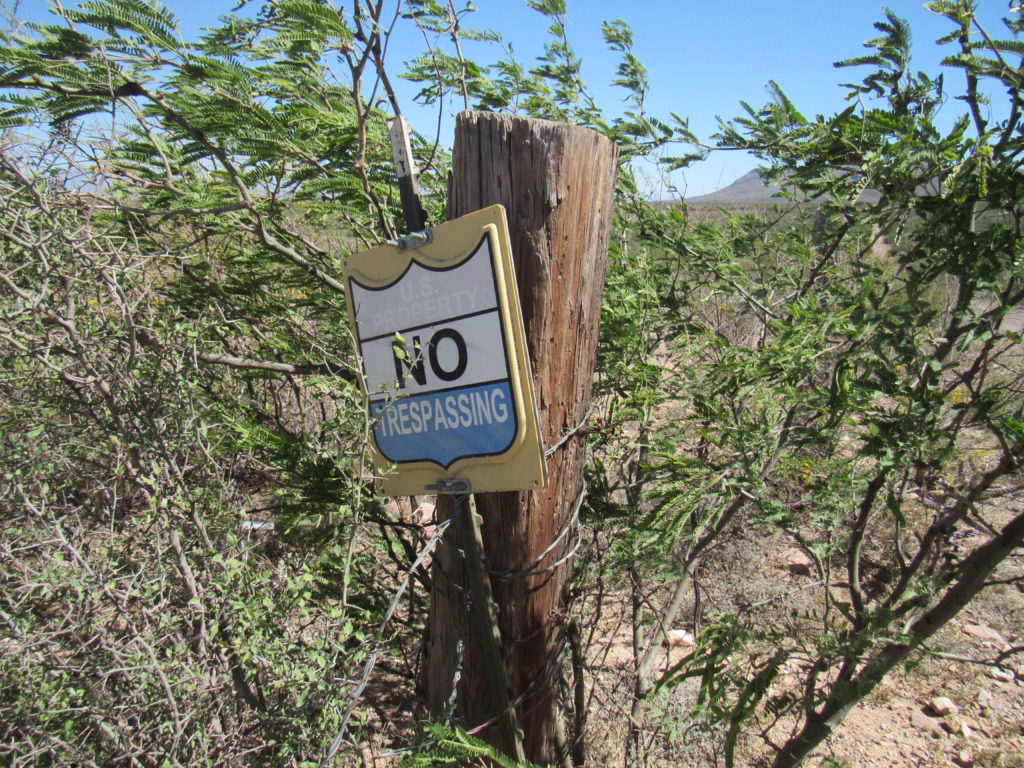
We quickly tagged the summit and skedaddled back to the truck, then drove out to Geronimo Trail once again. There, we spotted this sign – it seemed to be saying “Don’t drive down to the border” – easy to miss – small, half-hidden by vegetation.
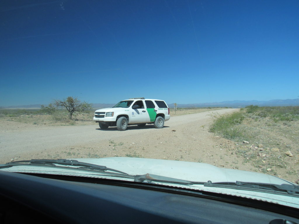
As we sat parked, a young Border Patrol agent drove up and asked us if everything was okay. We said we were just climbing some peaks in the area, and he was fine with that.
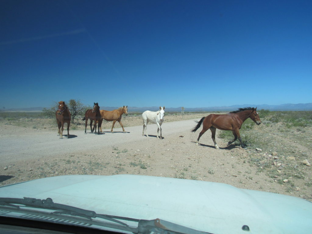
As we sat talking with him, a group of 5 horses came up to us – one of them wore a halter – it’s the one on the left.
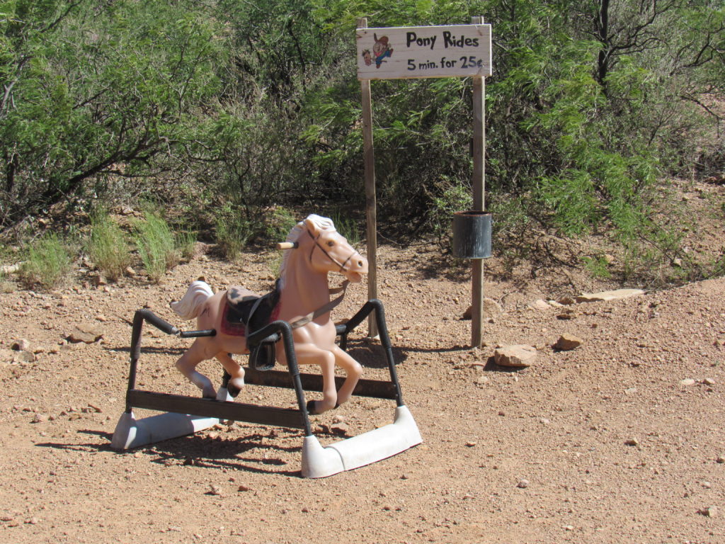
We moved on, heading west back towards Douglas, and encountered one more, a horse of a different color.
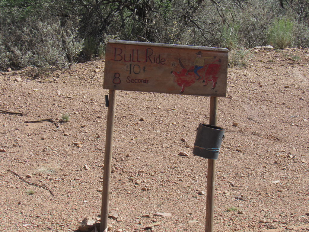
A few feet away stood another sign. If there had once been a bull there, it was gone, but the sign was cute.
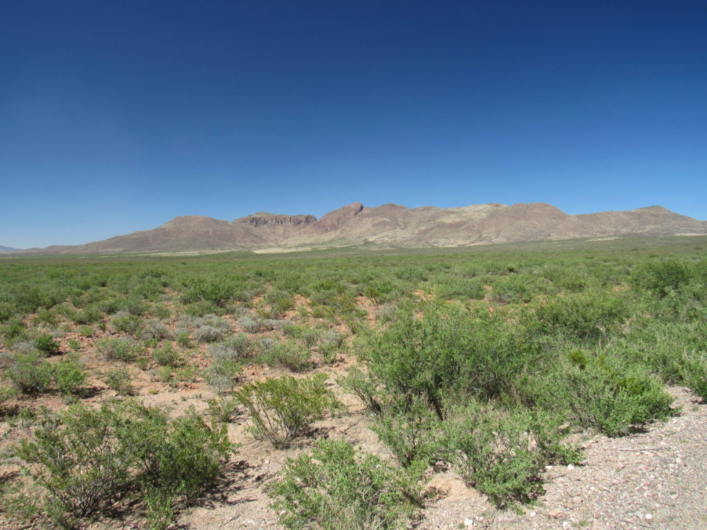
Closer to Douglas, we had a look back across this part of the Chihuahuan Desert to the climbing we’d done earlier in the day. Peak 5940 is dead-center with the dark bit on its right side; we climbed along most of the terrain to its right to reach it.
All in all, another terrific day of climbing in our perfect Arizona weather, and worth the drive from anywhere.

