
Please be sure to read Chapters 1-4 of this story before starting in on this one.
On the morning of Sunday, January 14th, the medical clinic called me and said I could now return to normal activities and mingle with the general population of the ship. I packed up my stuff and vacated the balcony room on Deck 7 and returned to my original room on Deck 4. I’ll miss having my own balcony like I had on Deck 7, but my room on Deck 4 is a lot bigger, because what it doesn’t lose for balcony space it gains on inside space. When I went for lunch, a few of the people I had sat with before were afraid to be near me because I was just coming off of Covid. I guess I can’t blame them – I’d be leery too in their position. However, two English ladies I knew were happy to welcome me back and I always had lunch and dinner with them from that point on.
At 11:00 AM, the outside air temperature was 32 degrees F. and a wind was blowing at 30 to 40 knots. They announced that they would go ahead with a shore landing, but that we should expect a rough ride and that we should expect to get sprayed by waves while we were riding in the Zodiacs. My group had its turn to go ashore just after noon, and their prediction was correct – it was a really choppy ride, and we were all getting sprayed a lot. It’s a good thing that our clothing was waterproof and windproof. We bounced along in our Zodiac through the choppy waves, looking just like a scene from a Greenpeace adventure, hanging on for dear life. Remember the boots that the ship loaned us for shore excursions?
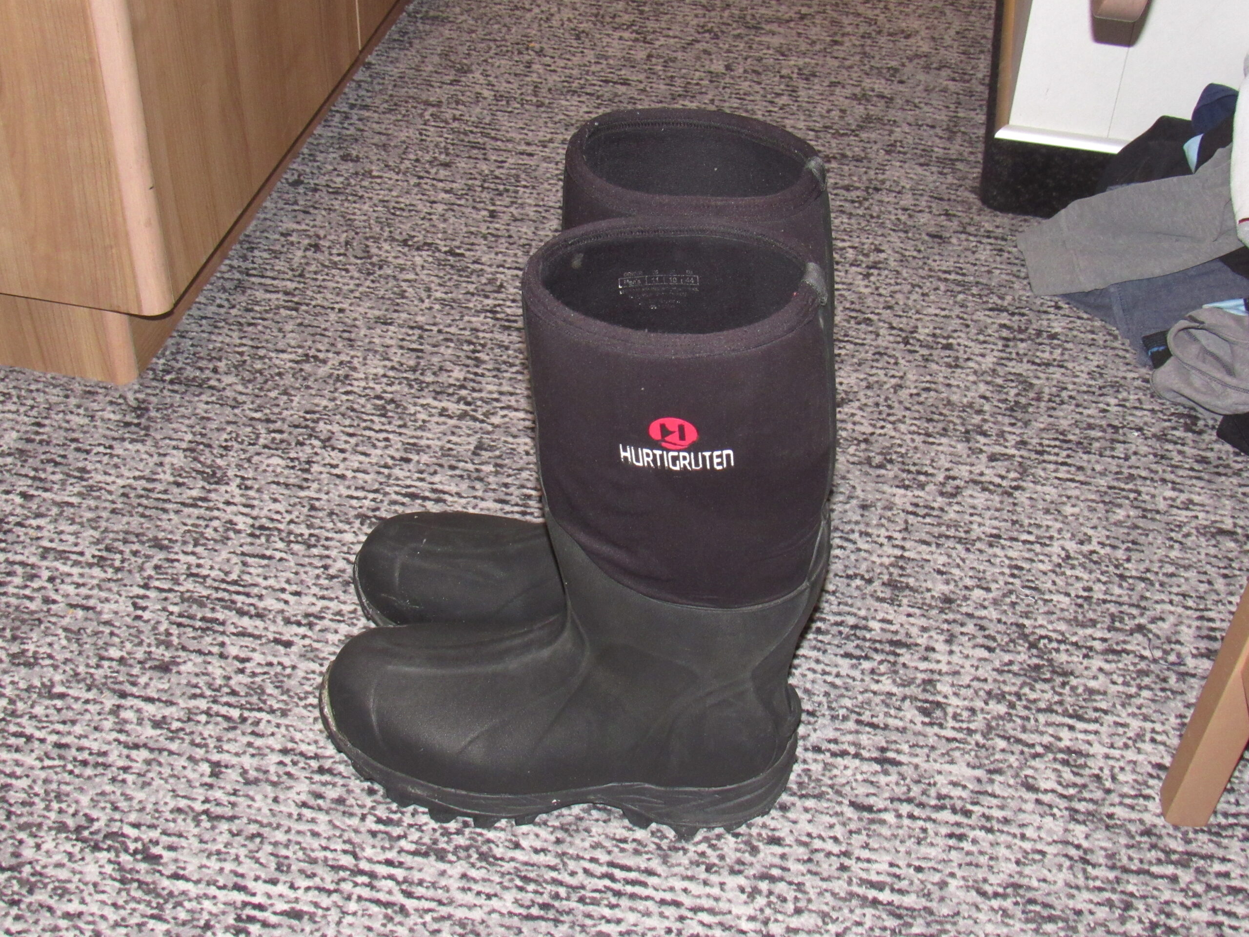
Our big rubber boots.
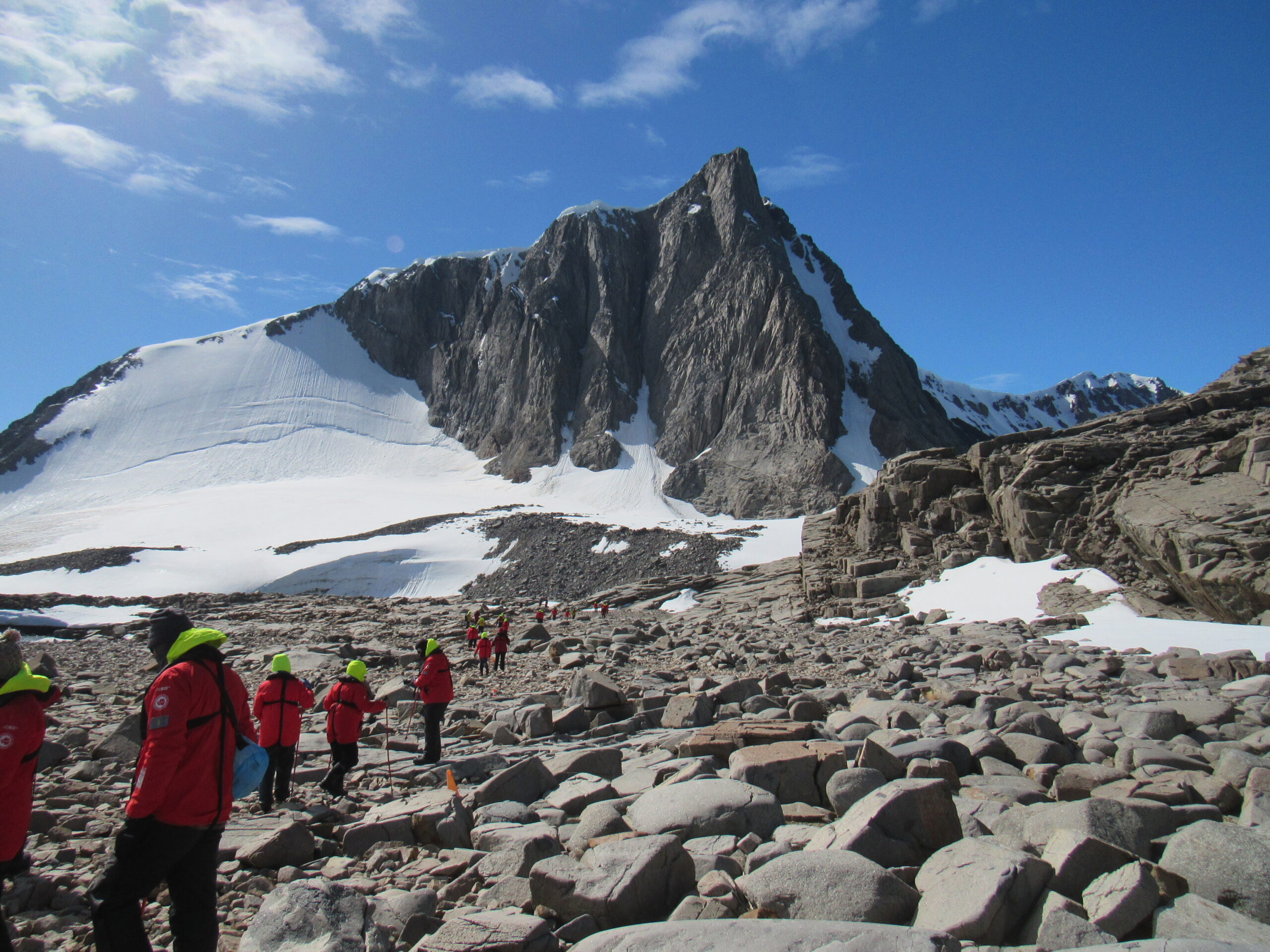
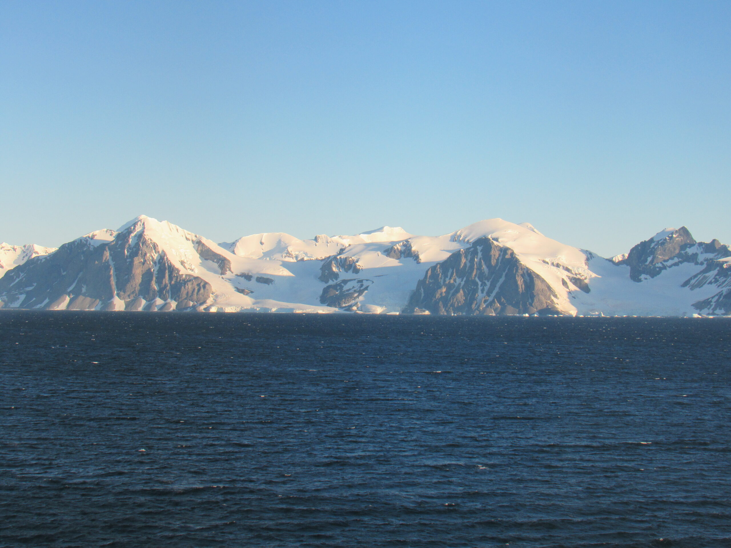
It’s a good thing we had those. You pulled your pantlegs down over the boots down to the ankles for a nice waterproof seal, necessary because to go ashore you had to step from the Zodiac into sea water as much as a foot deep. Today we were landing at a place called Red Rock Ridge.
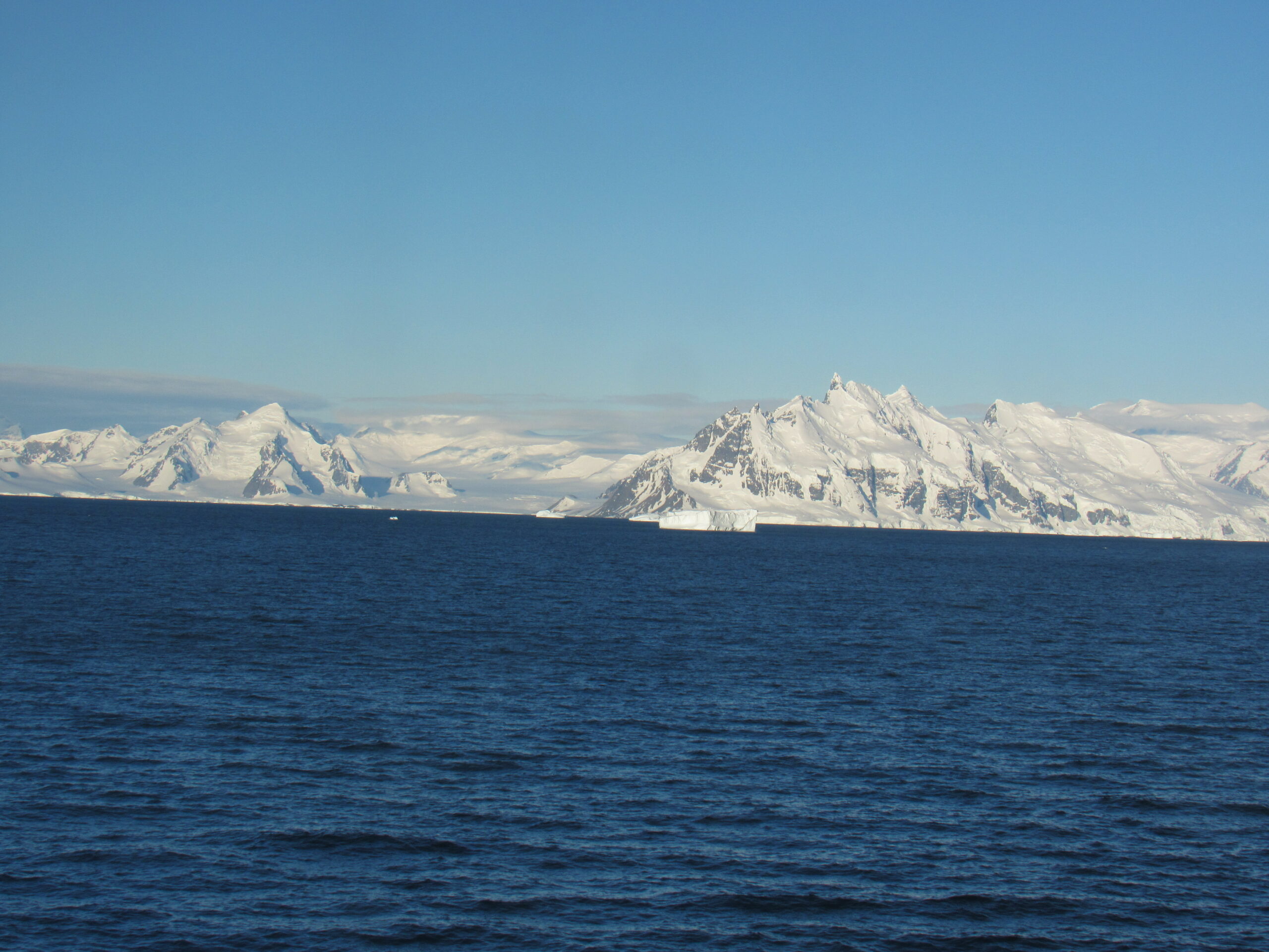
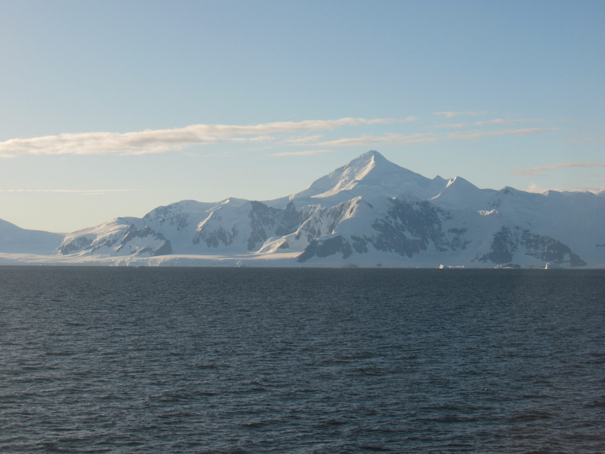
Red Rock Ridge is a conspicuous, reddish-colored ridge which rises to 690 m (2,264 feet) and projects from the west coast of Graham Land between Neny Fjord and Rymill Bay. It is located at 68 degrees 18 minutes south and 67 degrees 08 minutes west. Red Rock Ridge was surveyed in 1936 by the British Graham Land Expedition (BGLE) under John Riddich Rymill, who so named it because of its color. Further surveys in 1948 by the Falkland Islands Dependency Survey (FIDS) have identified this ridge as the feature first sighted in 1909 and named “Île Pavie” or “Cap Pavie” by the French Antarctic Expedition under Jean-Baptiste Charcot, but the name Red Rock Ridge is now too firmly established to alter. The name Pavie Ridge has been assigned to the prominent rocky ridge at 68 degrees 34 minutes south and 66 degrees 59 minutes west.
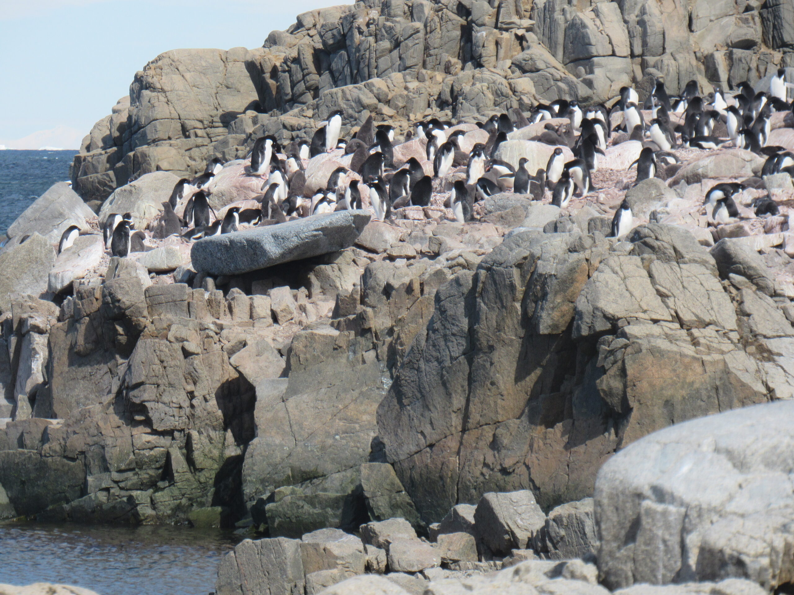
As each of us stepped ashore with the able assistance of the expedition team, they said to us “Welcome to Antarctica!” The reason for that was simple – the two previous shore excursions at the former bases were on islands that were offshore. Red Rock Ridge was on the mainland, on the Antarctic Peninsula itself, so we had officially now set foot in Antarctica proper. One of the main attractions here was the colony of Adélie penguins.
There were 3 species of penguins which we hoped to see on this trip – Adélie, Gentoo and Chinstrap – all 3 belong to the group called brush-tailed penguins. The fact that we had already seen the Emperor penguin on the sea ice a few days earlier was an unexpected bonus.
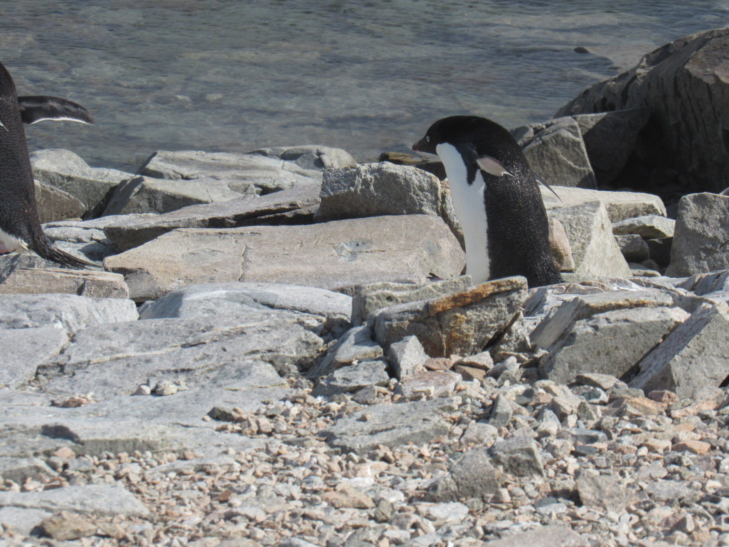
The Adélie penguin (Pygoscelis adeliae) is a species of penguin common along the entire coast of the Antarctic continent, which is the only place where it is found. It is the most widespread penguin species, and, along with the emperor penguin is the most southerly distributed of all penguins. It is named after Adélie Land, in turn, named for Adèle Dumont d’Urville, who was married to French explorer Jules Dumont d’Urville, who first discovered this penguin in 1840. Adélie penguins obtain their food by both predation and foraging, with a diet of mainly krill and fish.
The Adélie penguin is a mid-sized bird, measuring 70–73 cm (28–29 in) in length and weighing 3.8 to 8.2 kg (8.4 to 18.1 pounds). Although the sexes look the same, females have shorter wings and beaks and weigh significantly less. The adult is black on the head, throat and upper parts, with snowy white underparts. It has a conspicuous white eye ring around a black iris. The beak is largely covered with black feathers, leaving only the tip exposed; this is primarily black, though it can show indistinct reddish-brown markings. The upper surface of the wing is black with a white trailing edge, while the underside is white with a narrow black leading edge and a small black tip. The legs and feet, which are mostly unfeathered, are pinkish.
The genus name Pygoscelis is a compound word, composed of the Ancient Greek words pugē, meaning “rump”, and skelos, meaning “leg”. The members of this genus are often called “brush-tailed penguins”, a reference to their long, stiff tail feathers. The birds regularly use their tails for support, and the stiff feathers sweep the ground as the penguins walk. The specific name adeliae indicates the location from which the type specimen was collected.
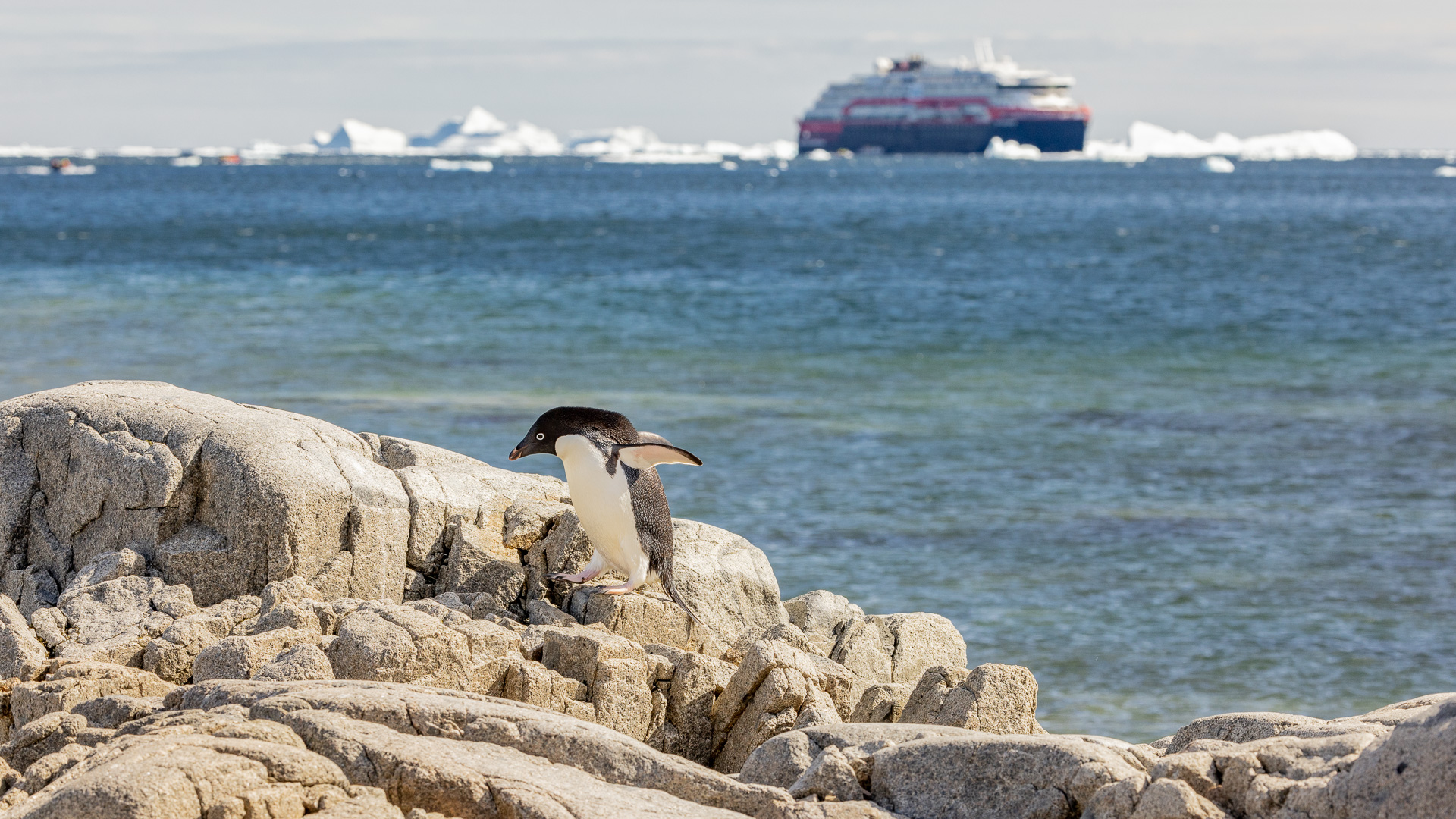
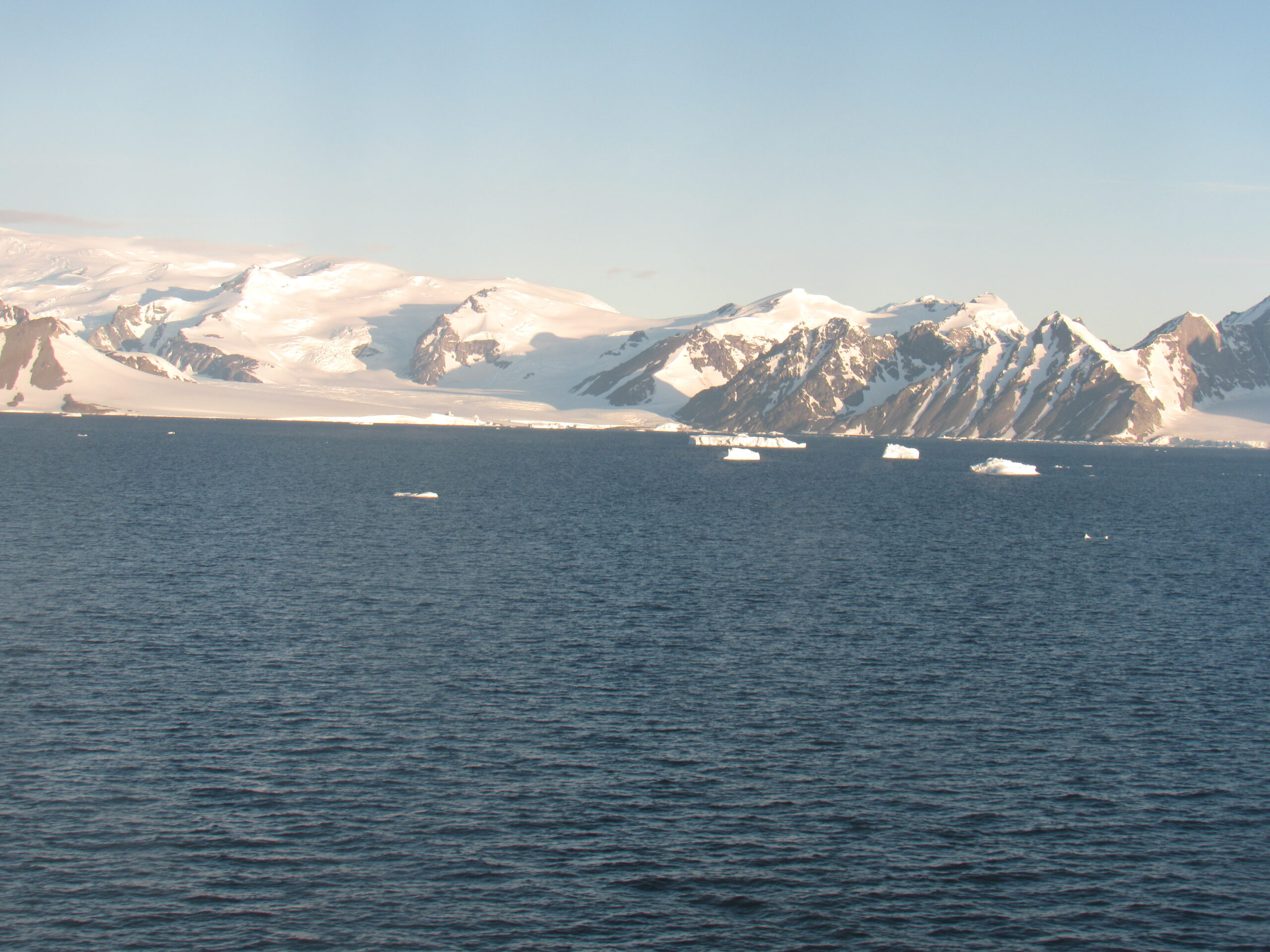
Our ship in the distance. It was a 15-minute ride in the Zodiac to reach the shore.
An Adelie penguin.
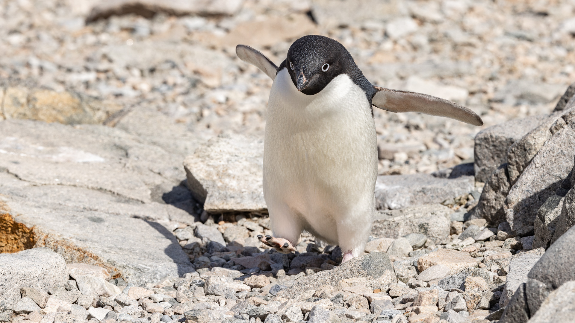
Adelie close-up
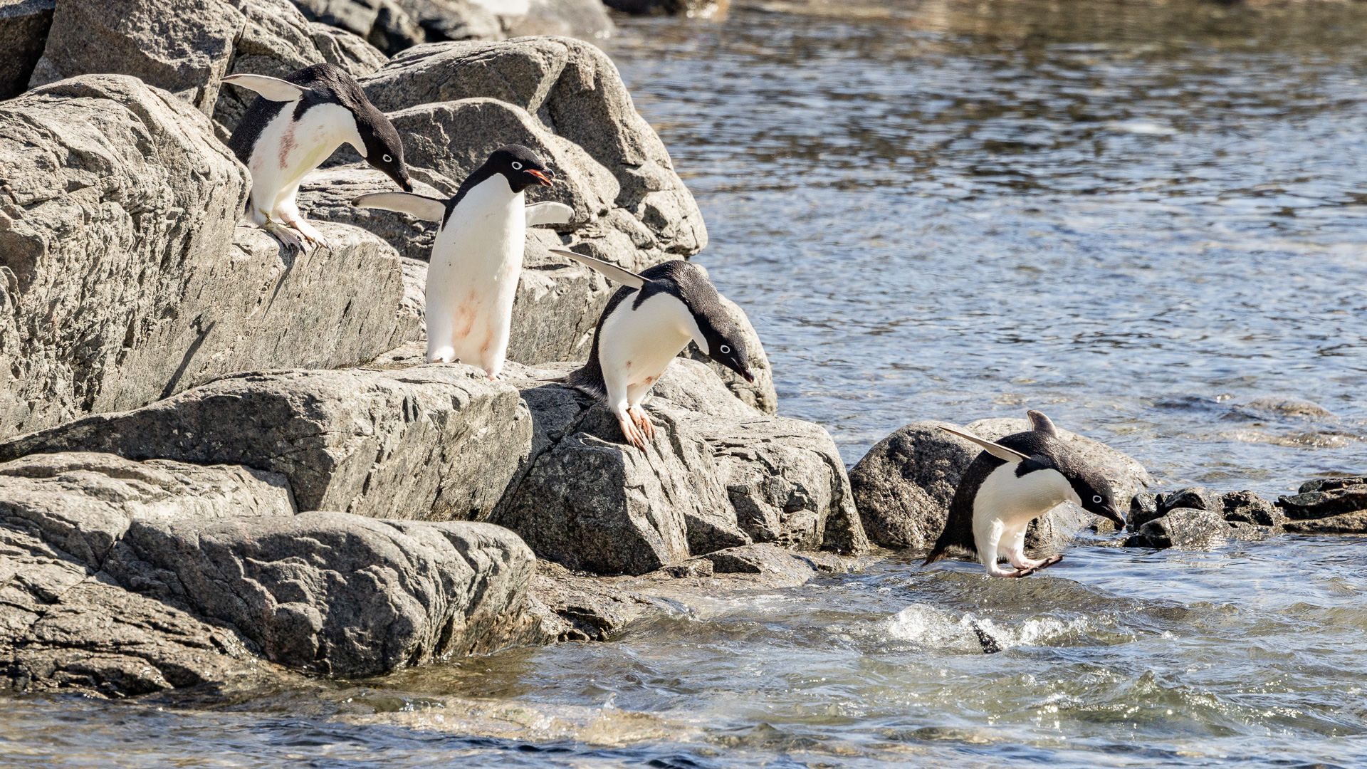
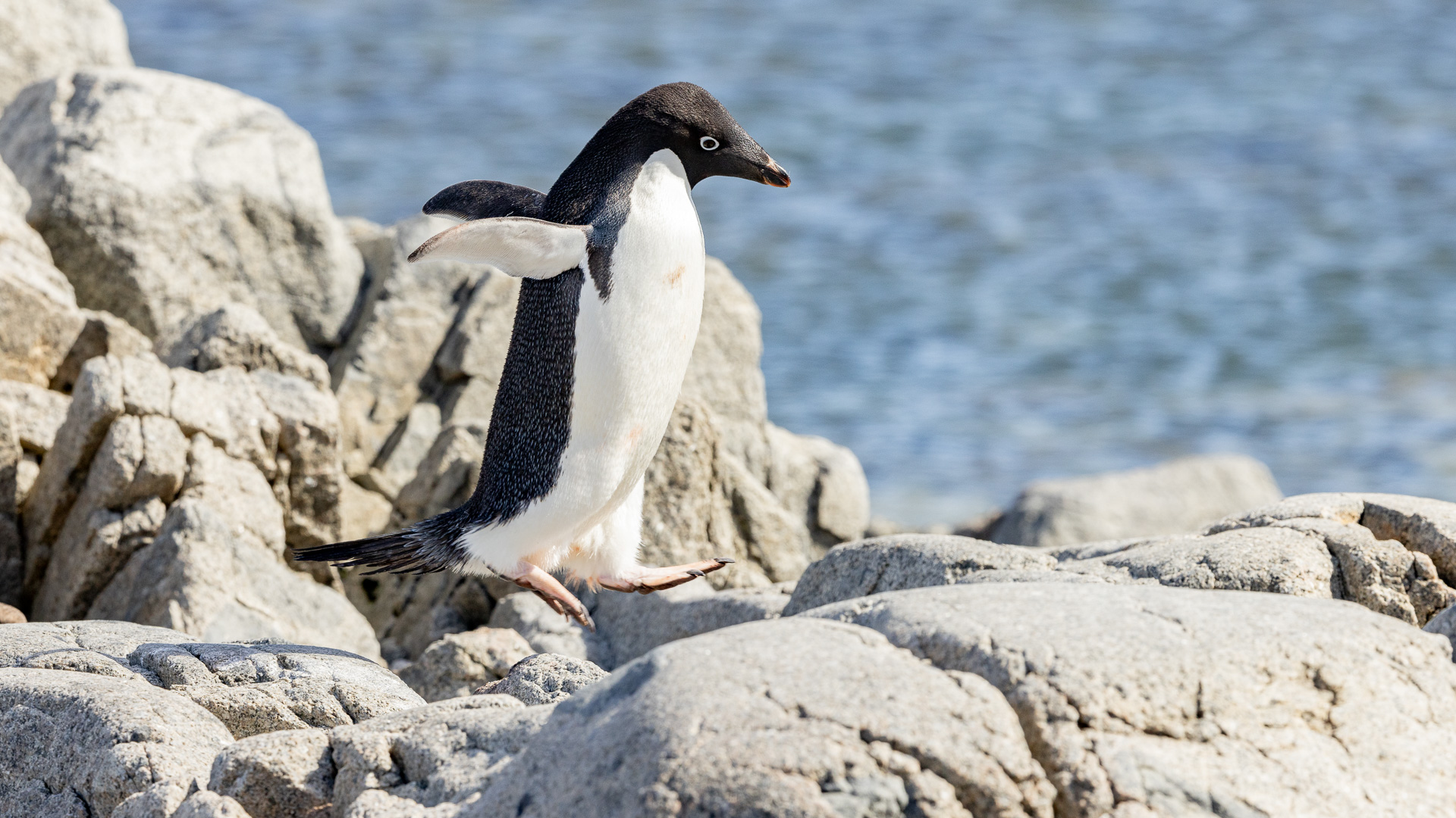
Taking the leap.
Looking towards the colony.
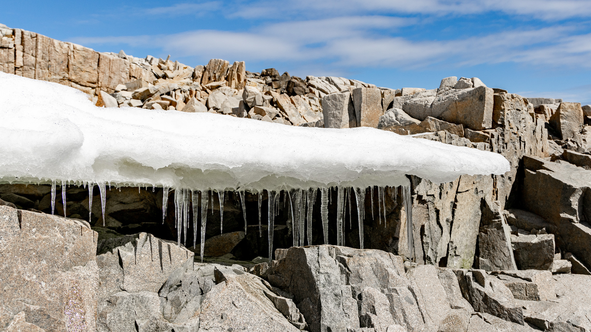
An ice detail. You can tell it was pretty cold outside because the icicles were barely dripping.
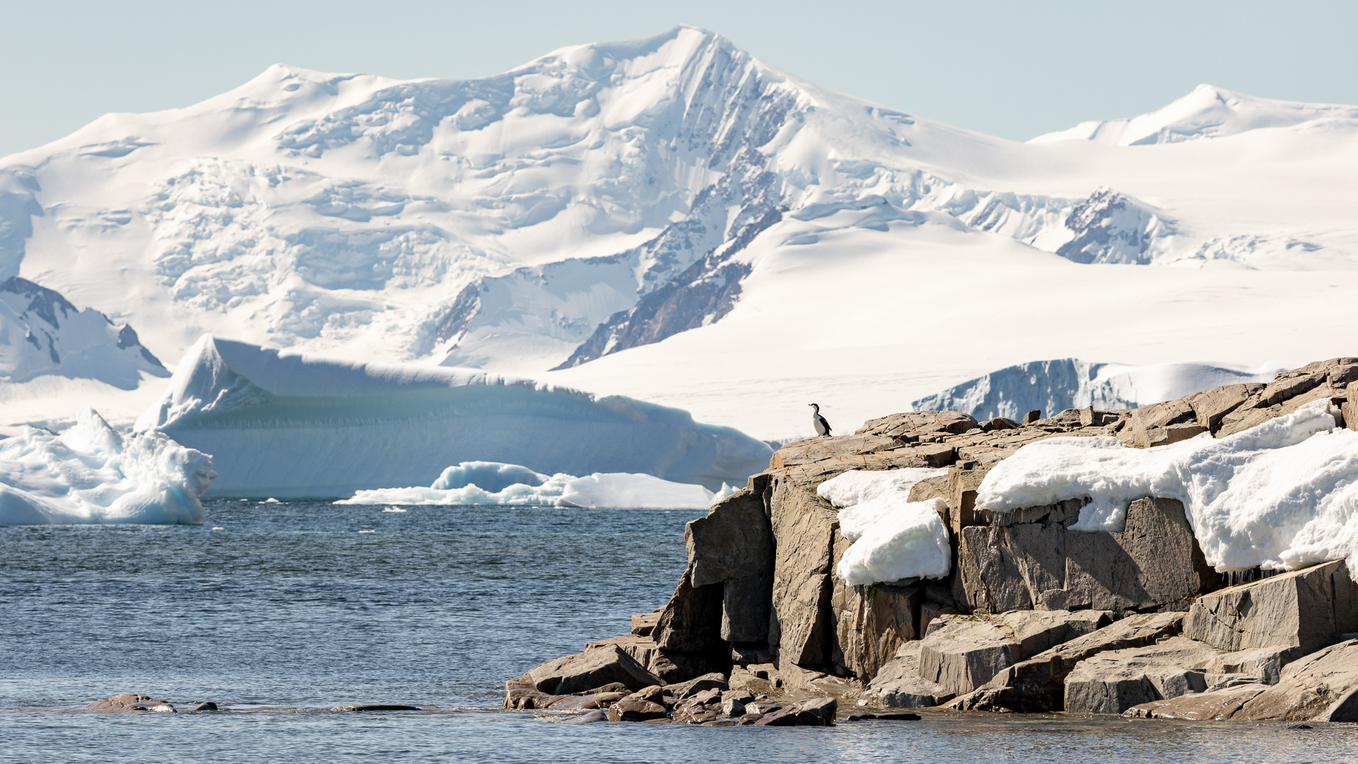
A lone Antarctic shag.
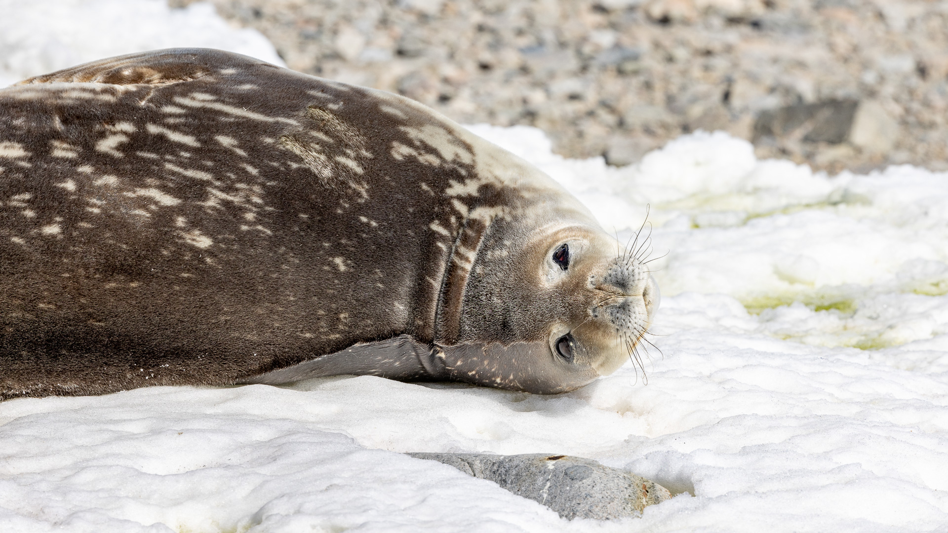
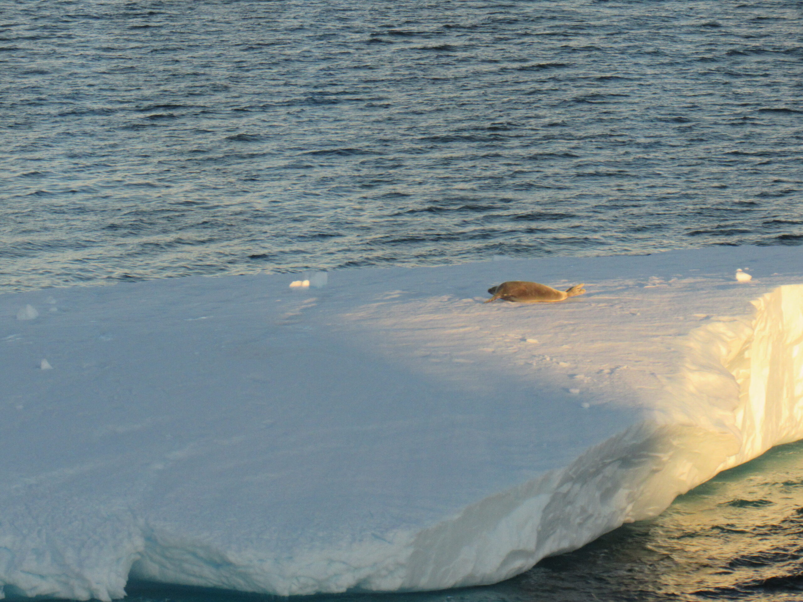
A Weddell seal.
Now here are some of my photos.
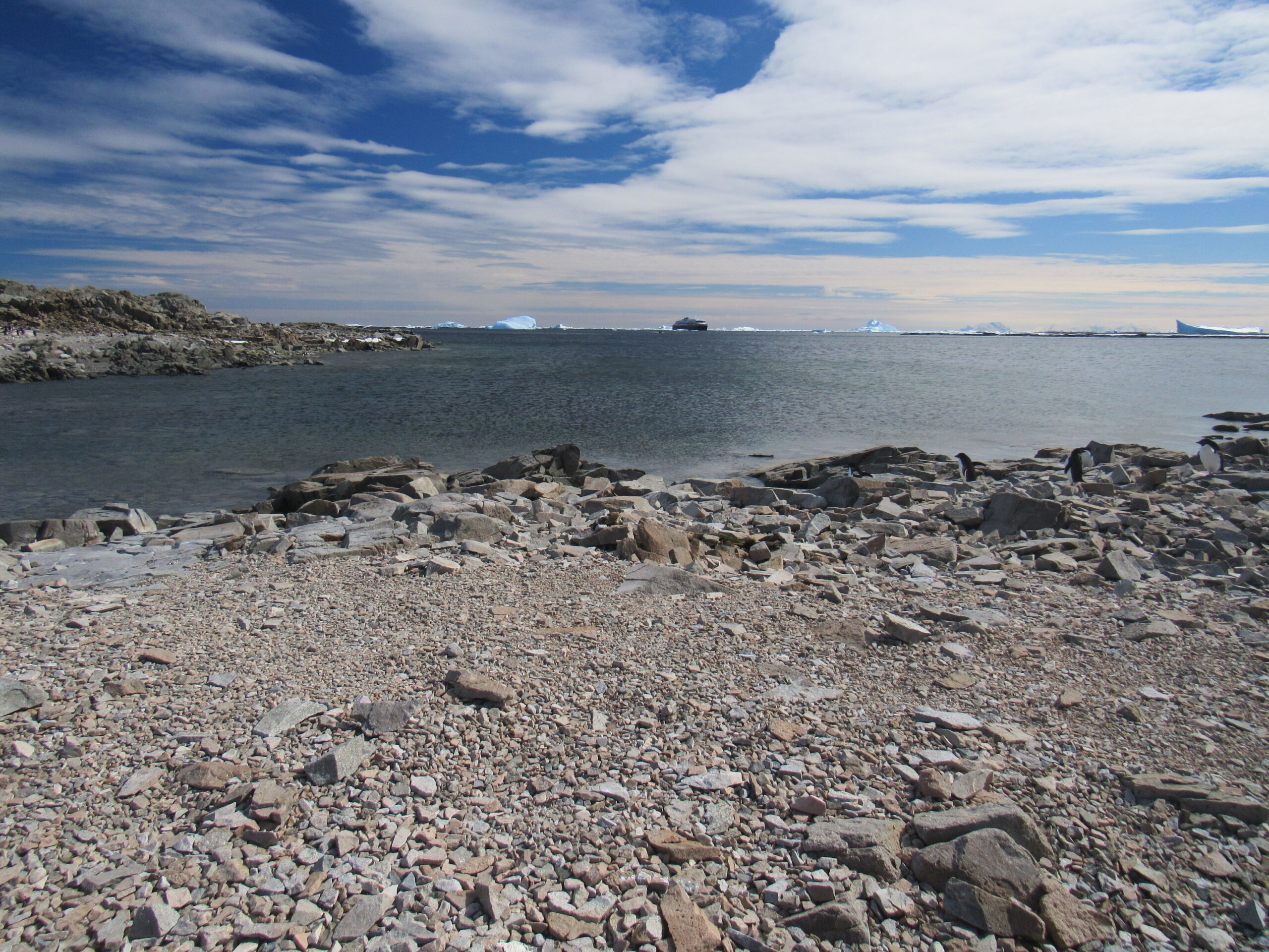
Our ship in the distance, a more wide-angle shot.
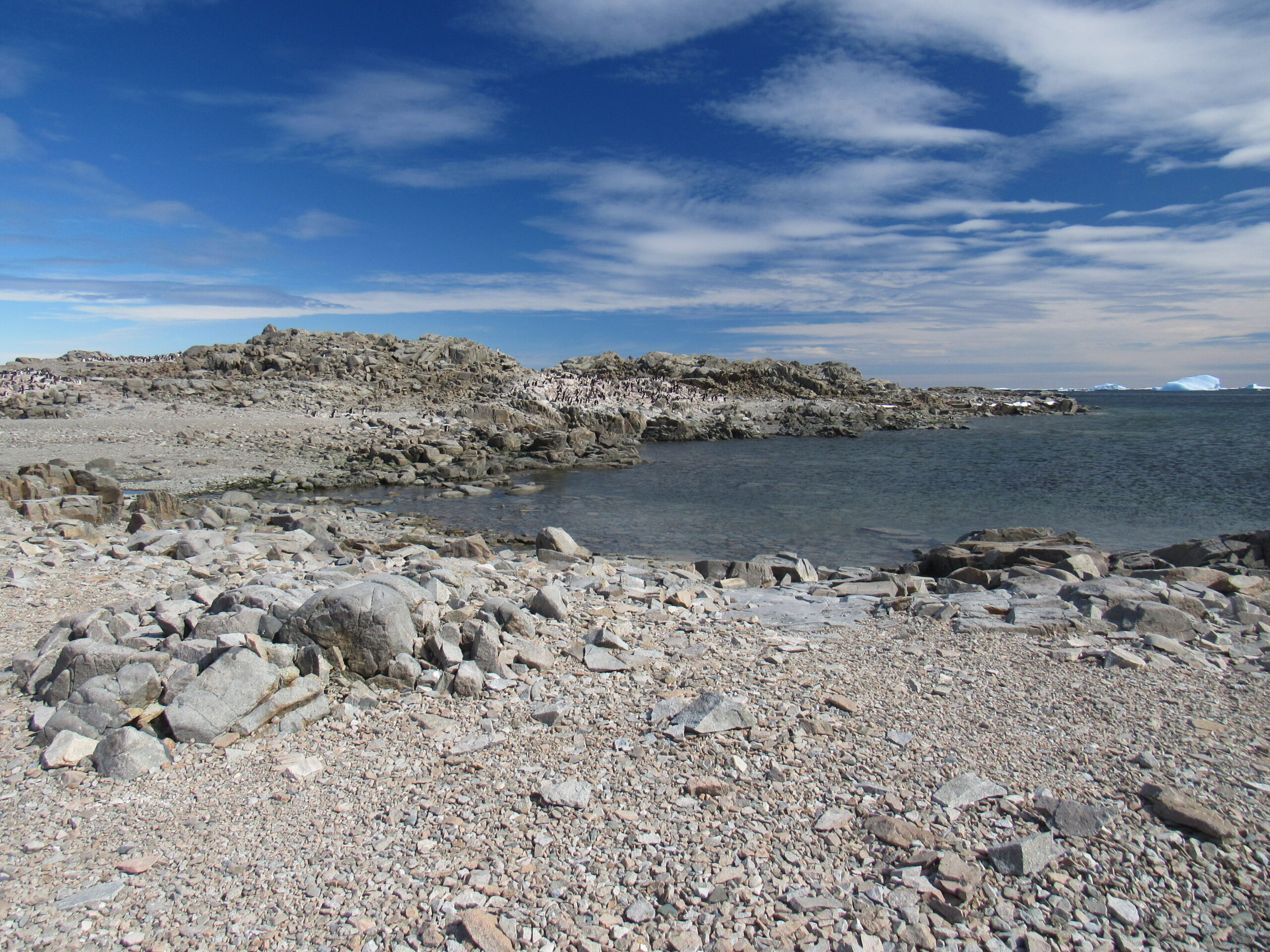
A view towards the colony.
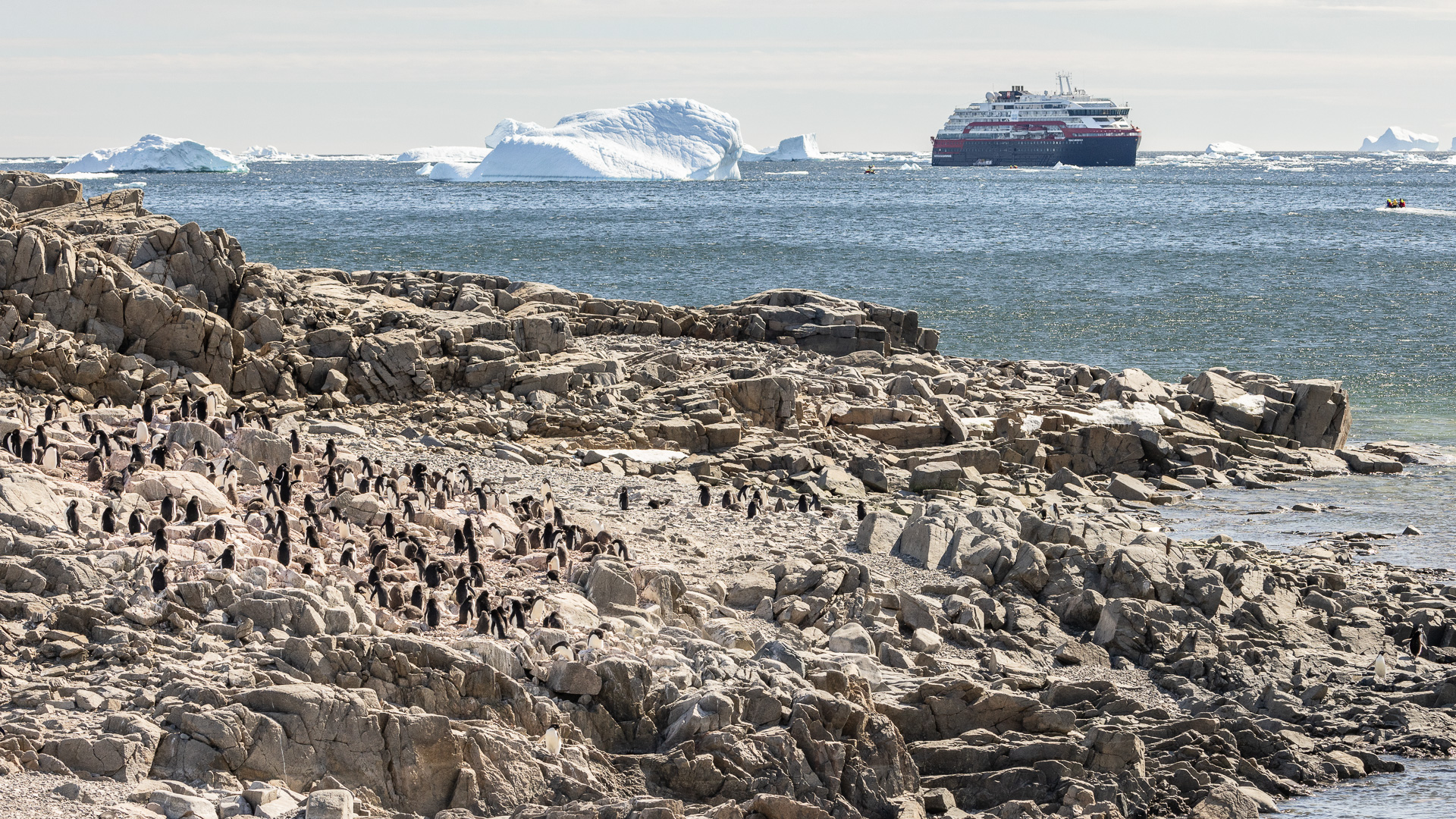
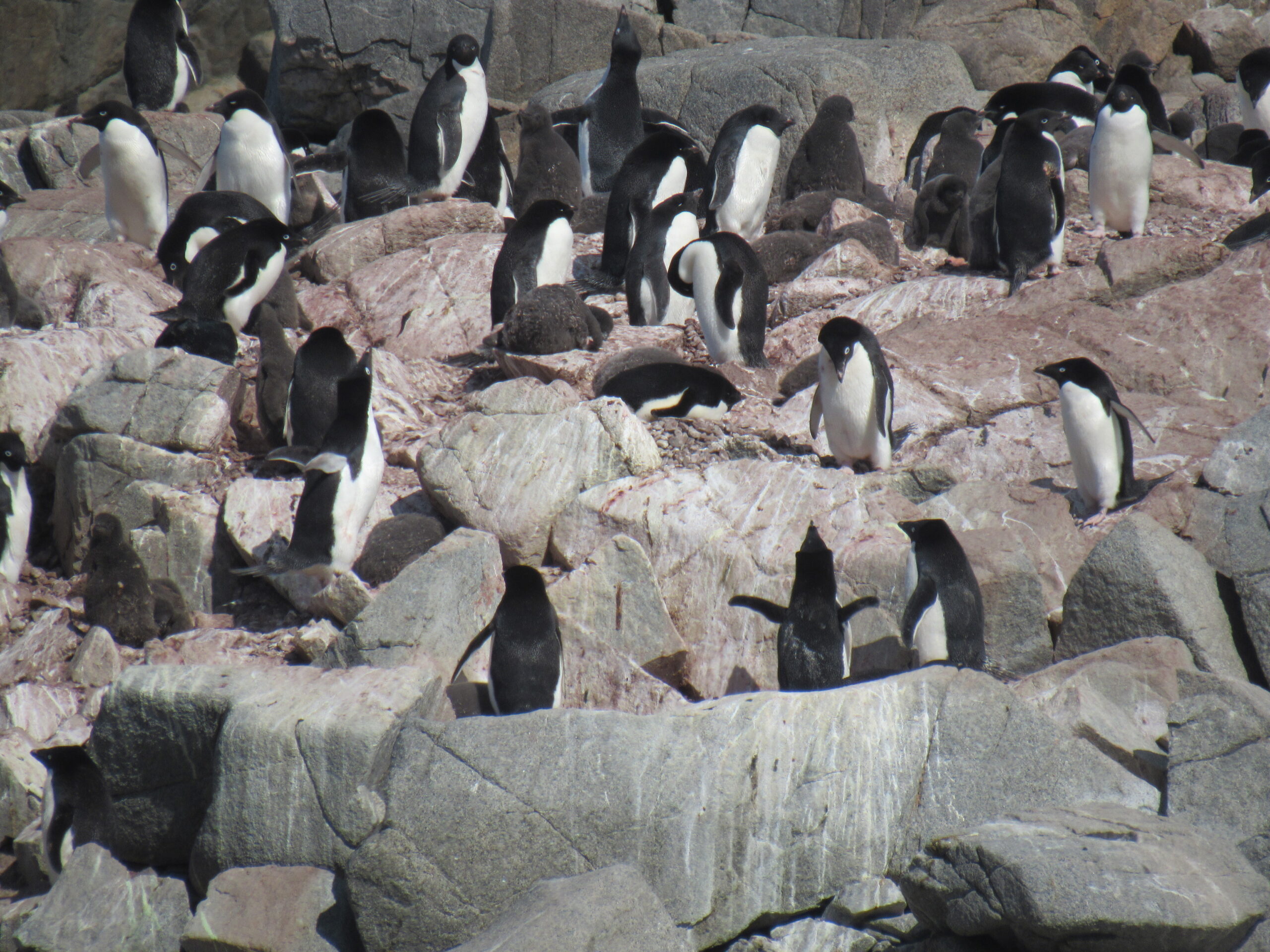
The colony.
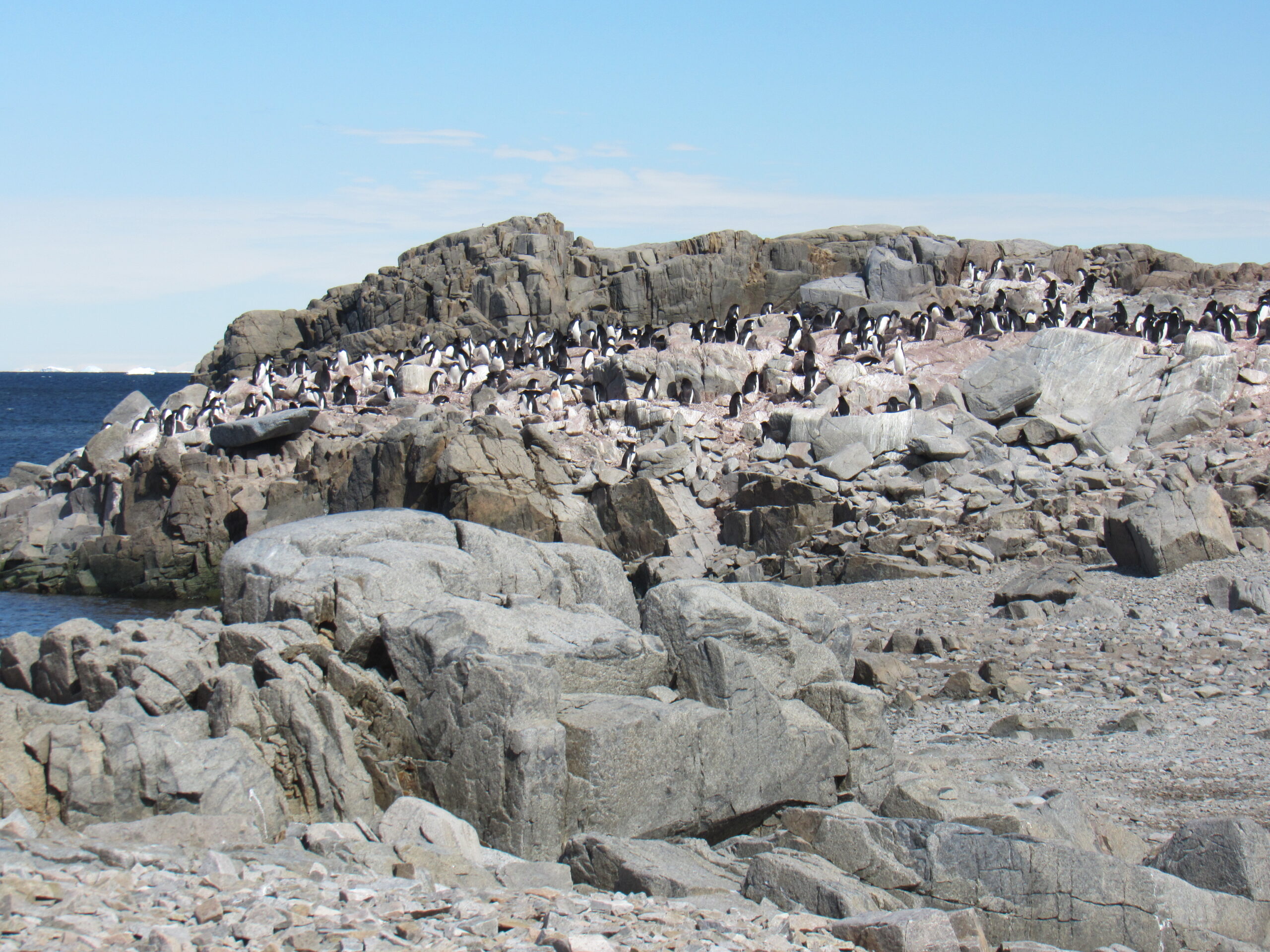
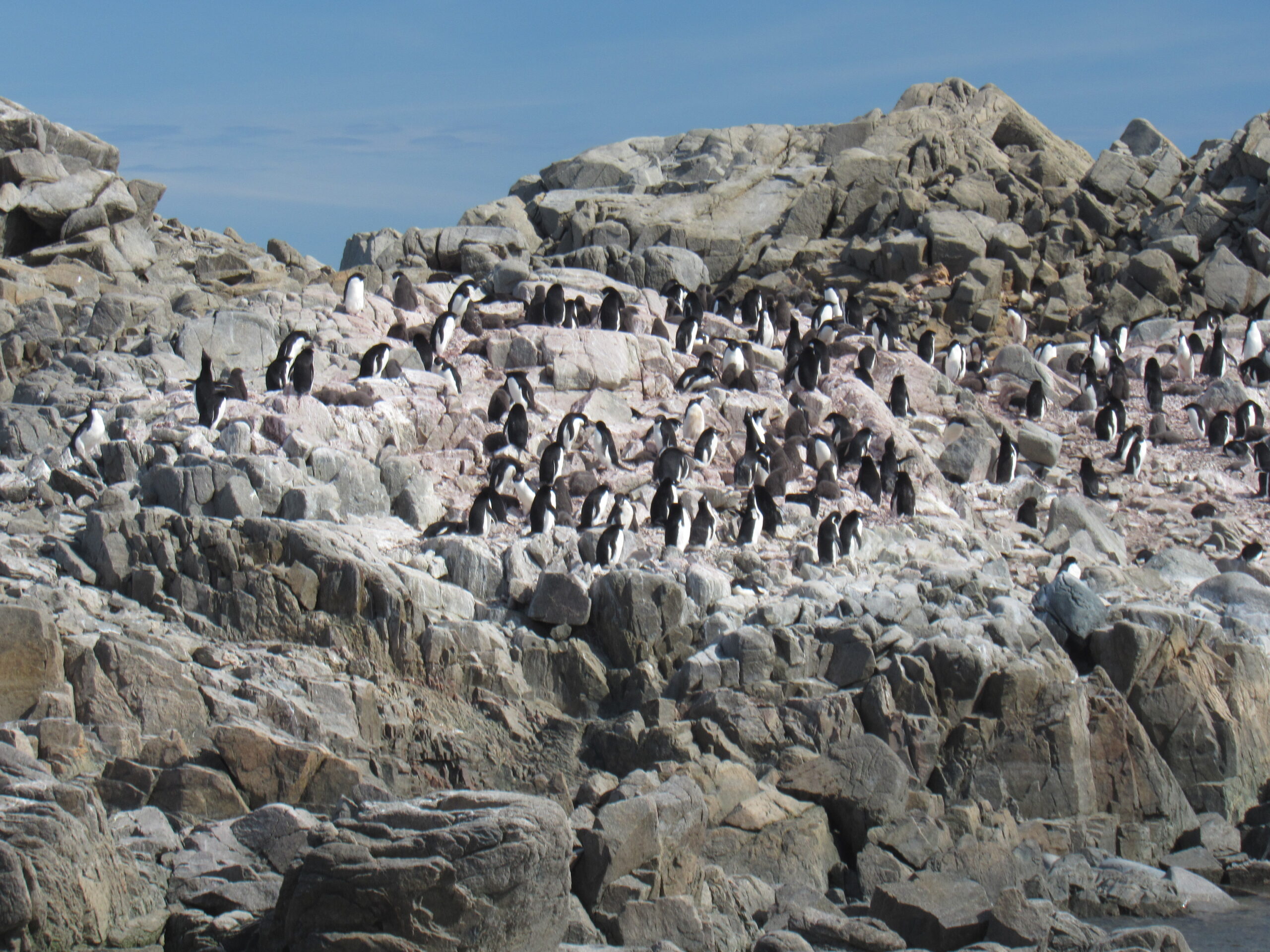
More of the colony. There were 300-400 birds here.
An Adelie
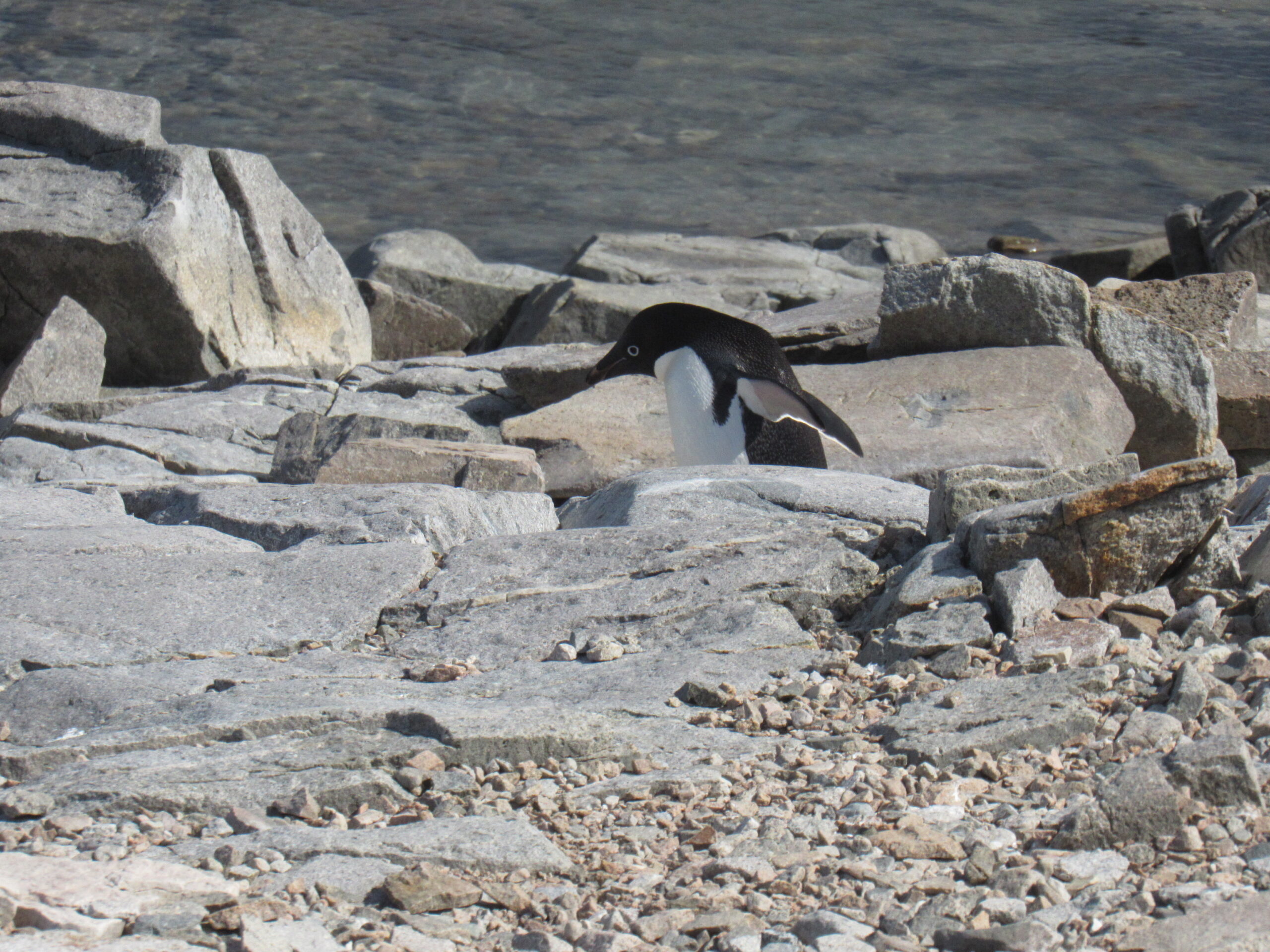
Adelie
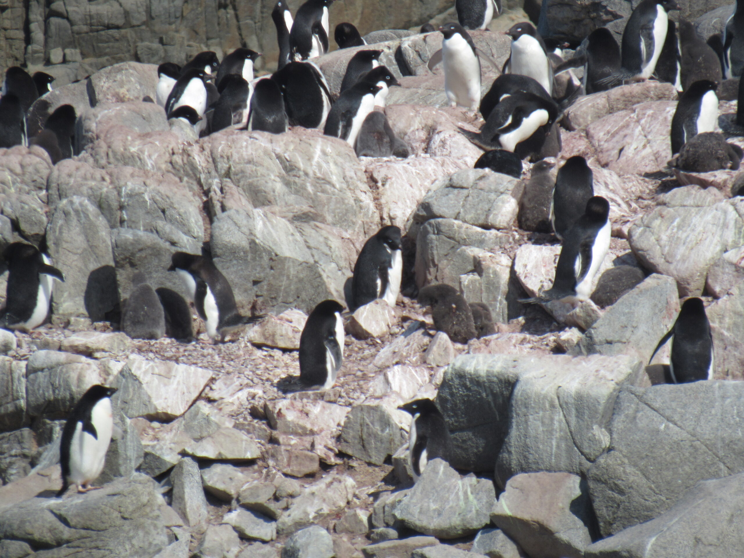
Part of the colony. If you look carefully, you can see the chicks which are about 3 weeks old. Thy look like big grey lumps.
More Adelies
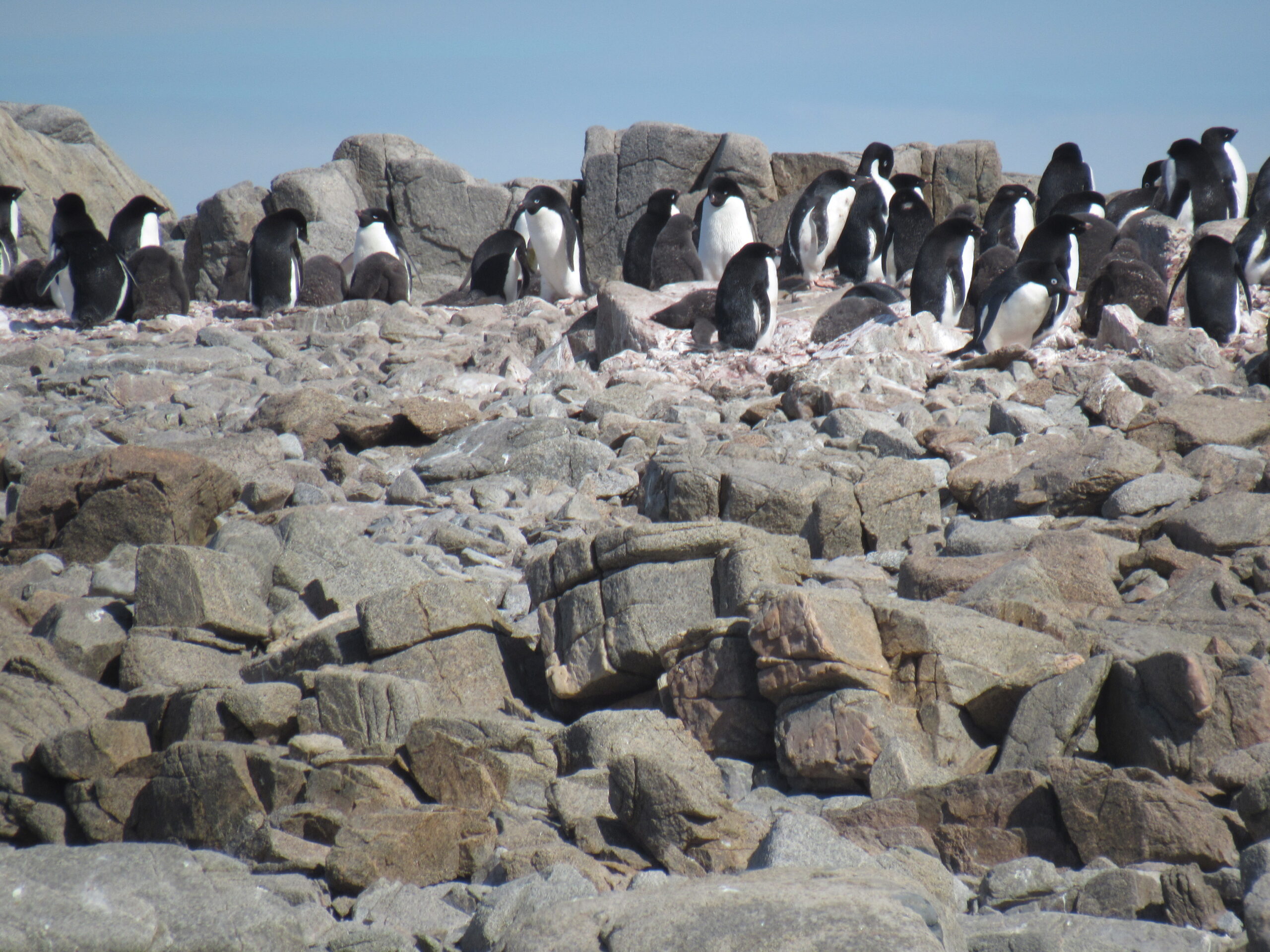
Another view of the colony.
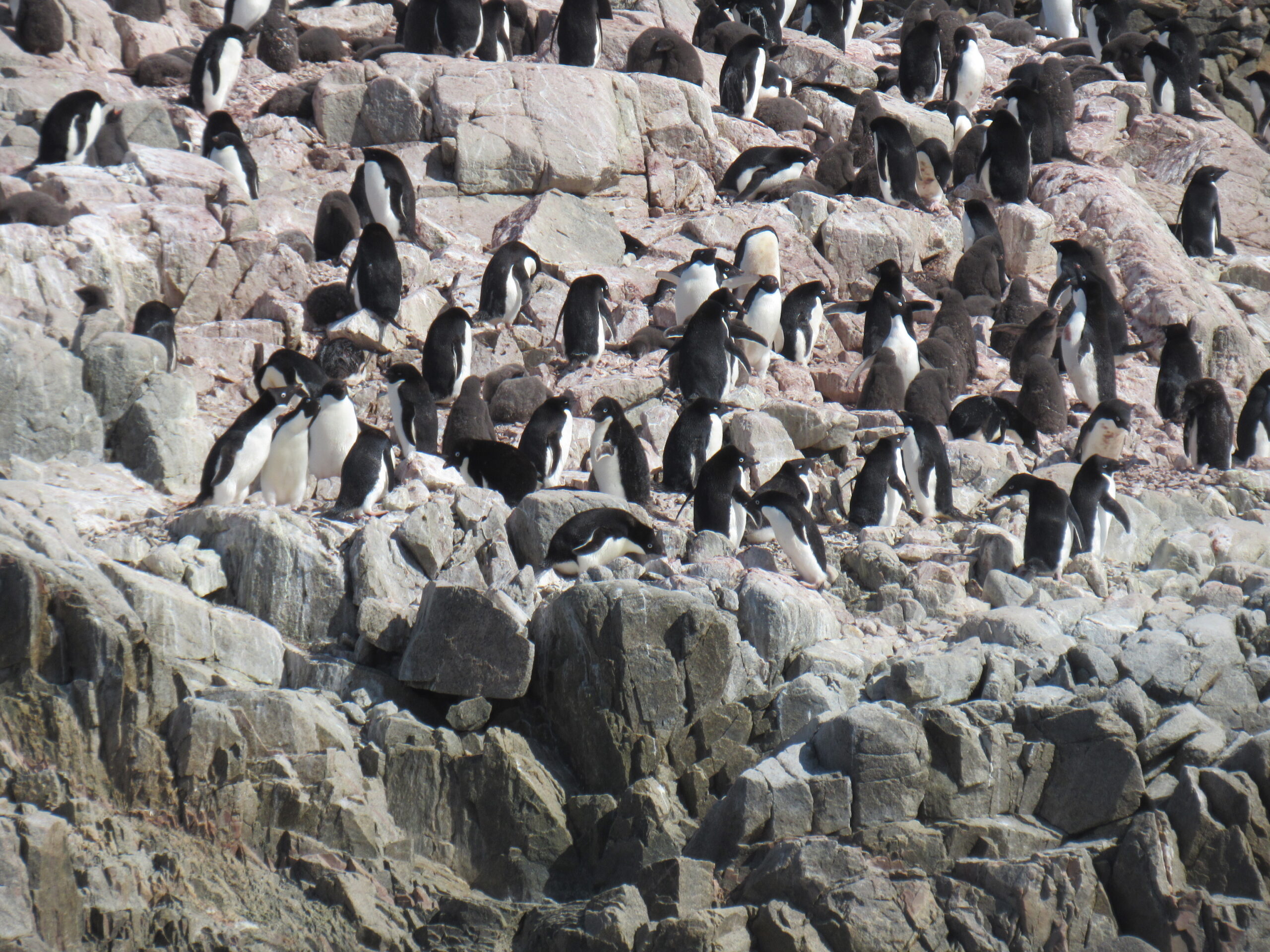
A larger view of the colony.
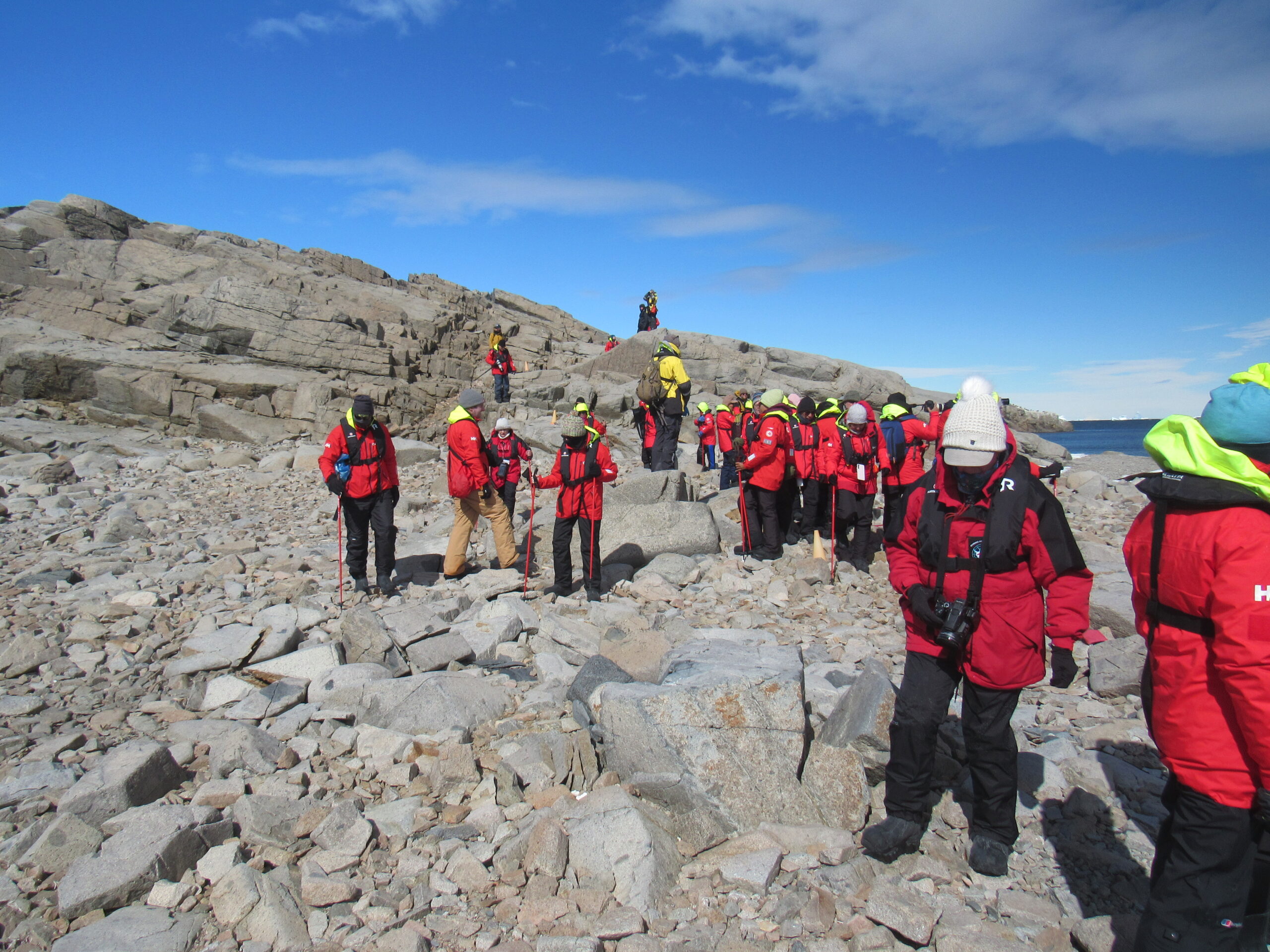
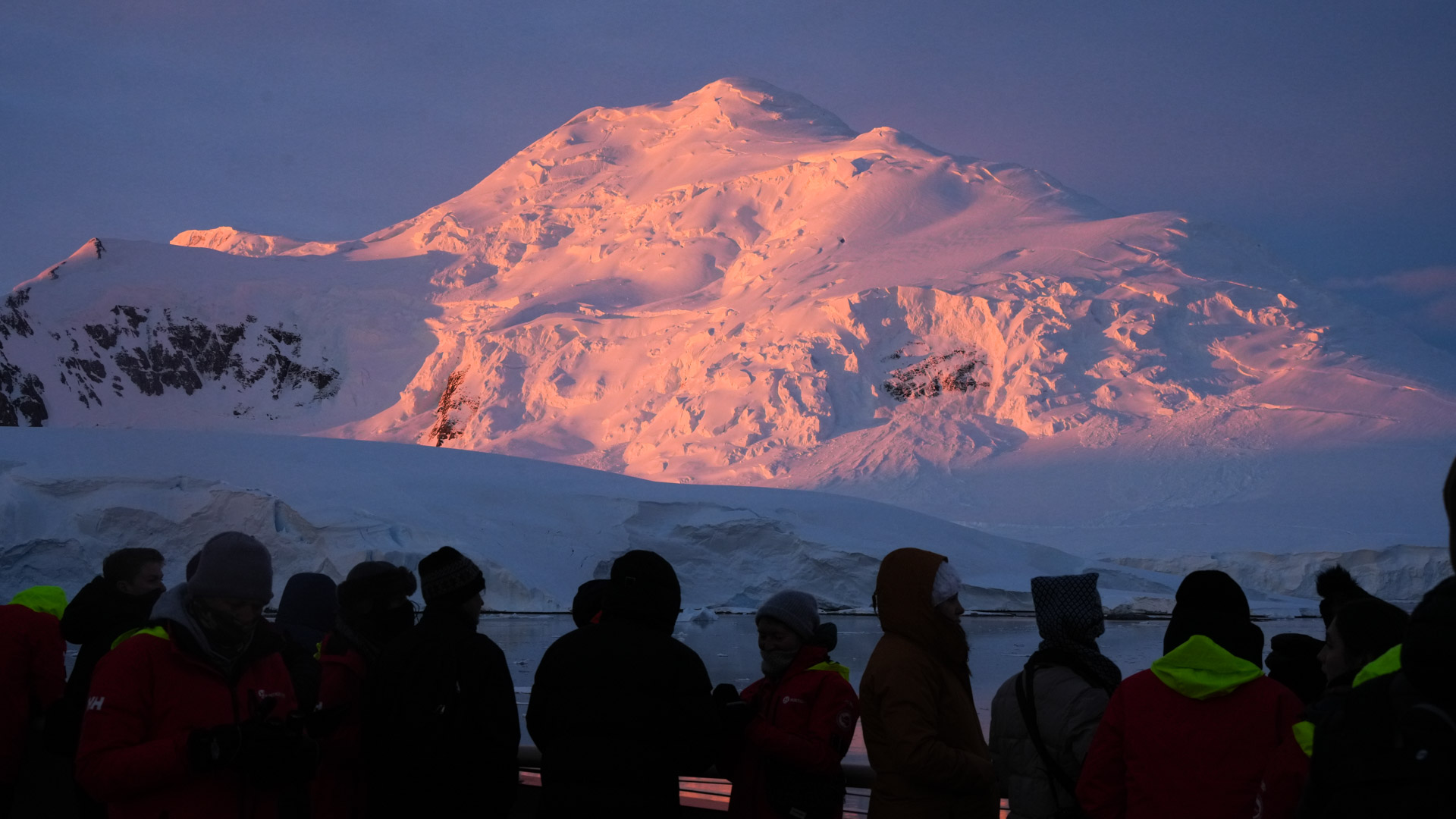
Passengers on the shore.
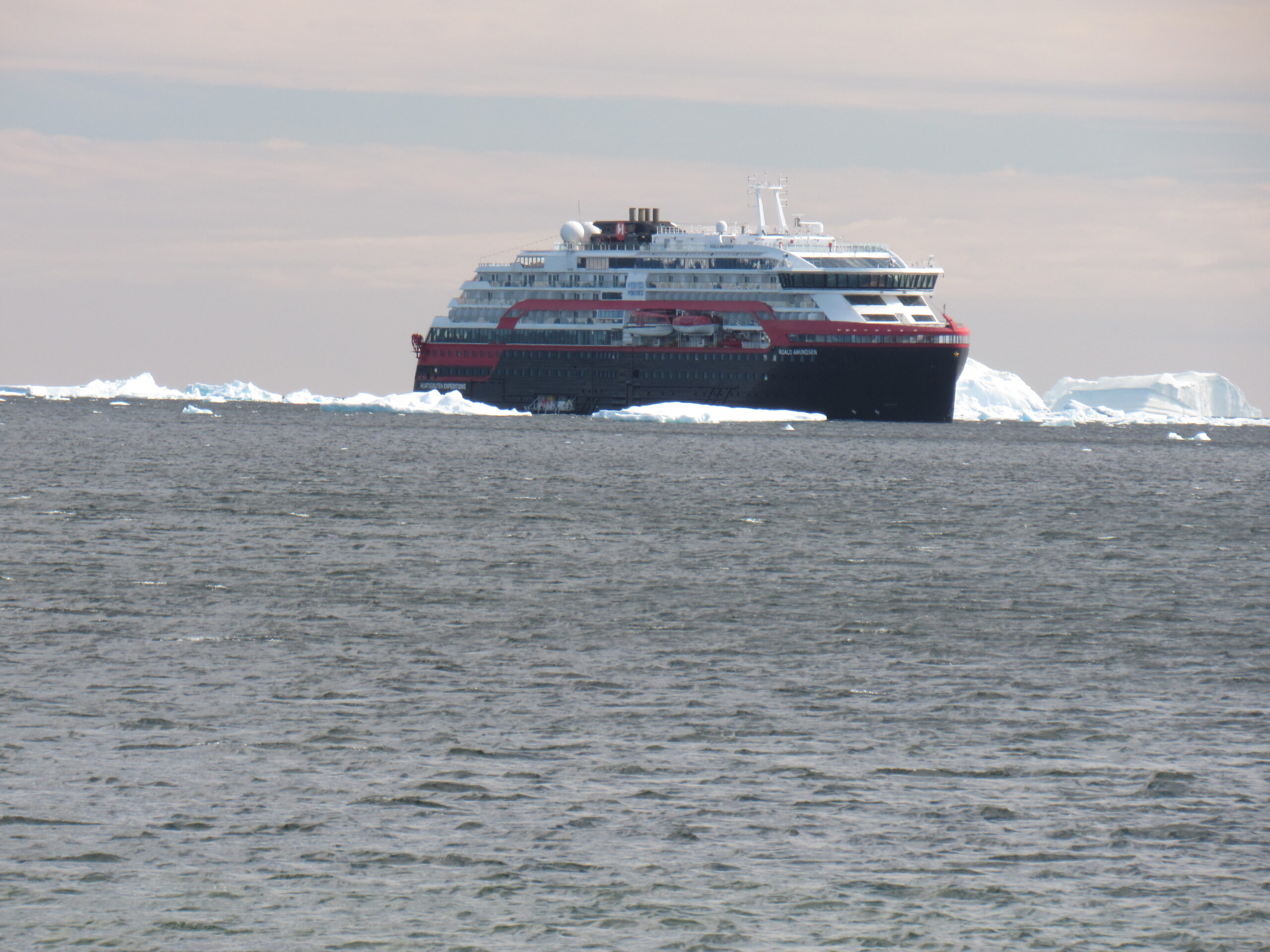
The MS Roald Amundsen
Part of the penguin colony
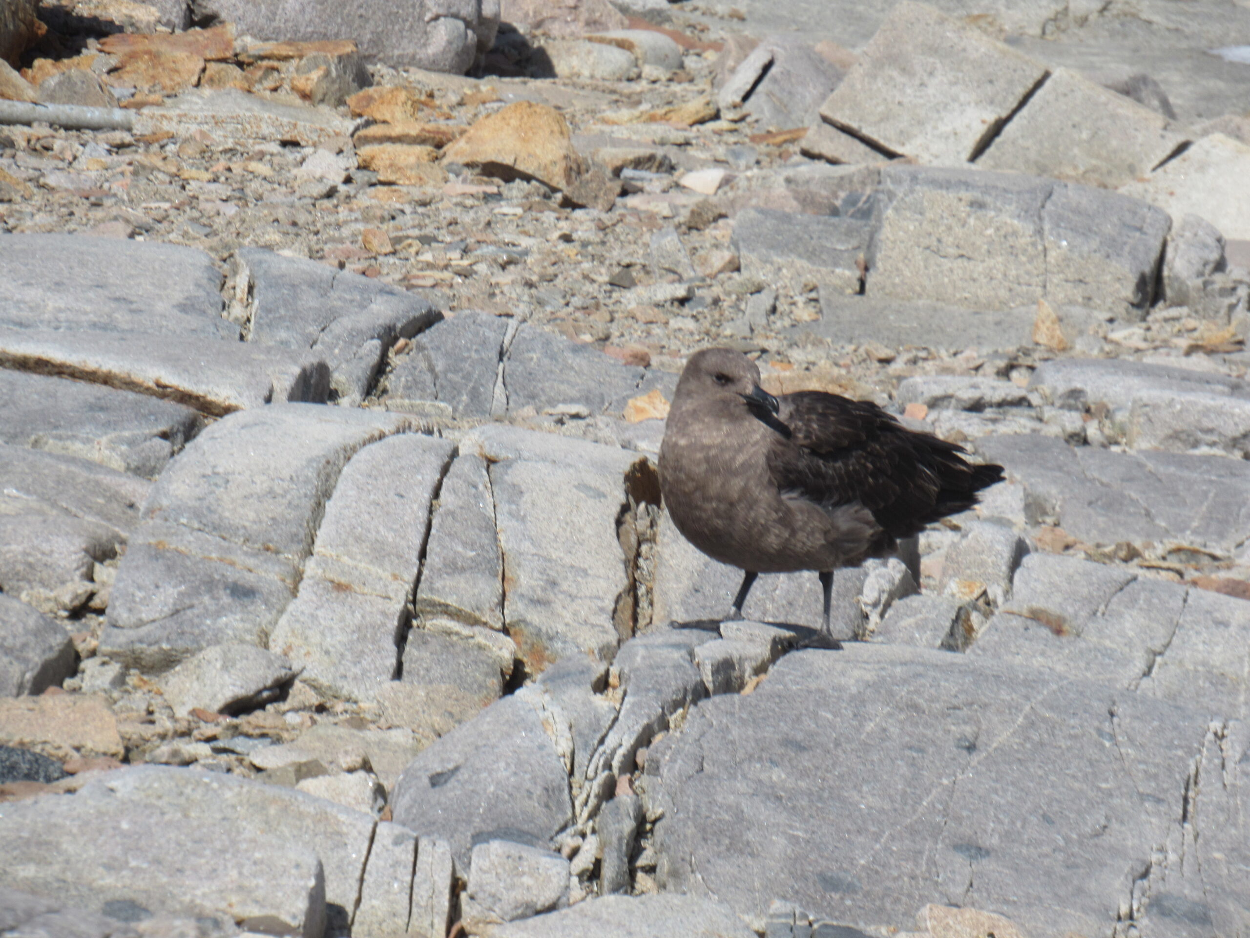
A south polar skua
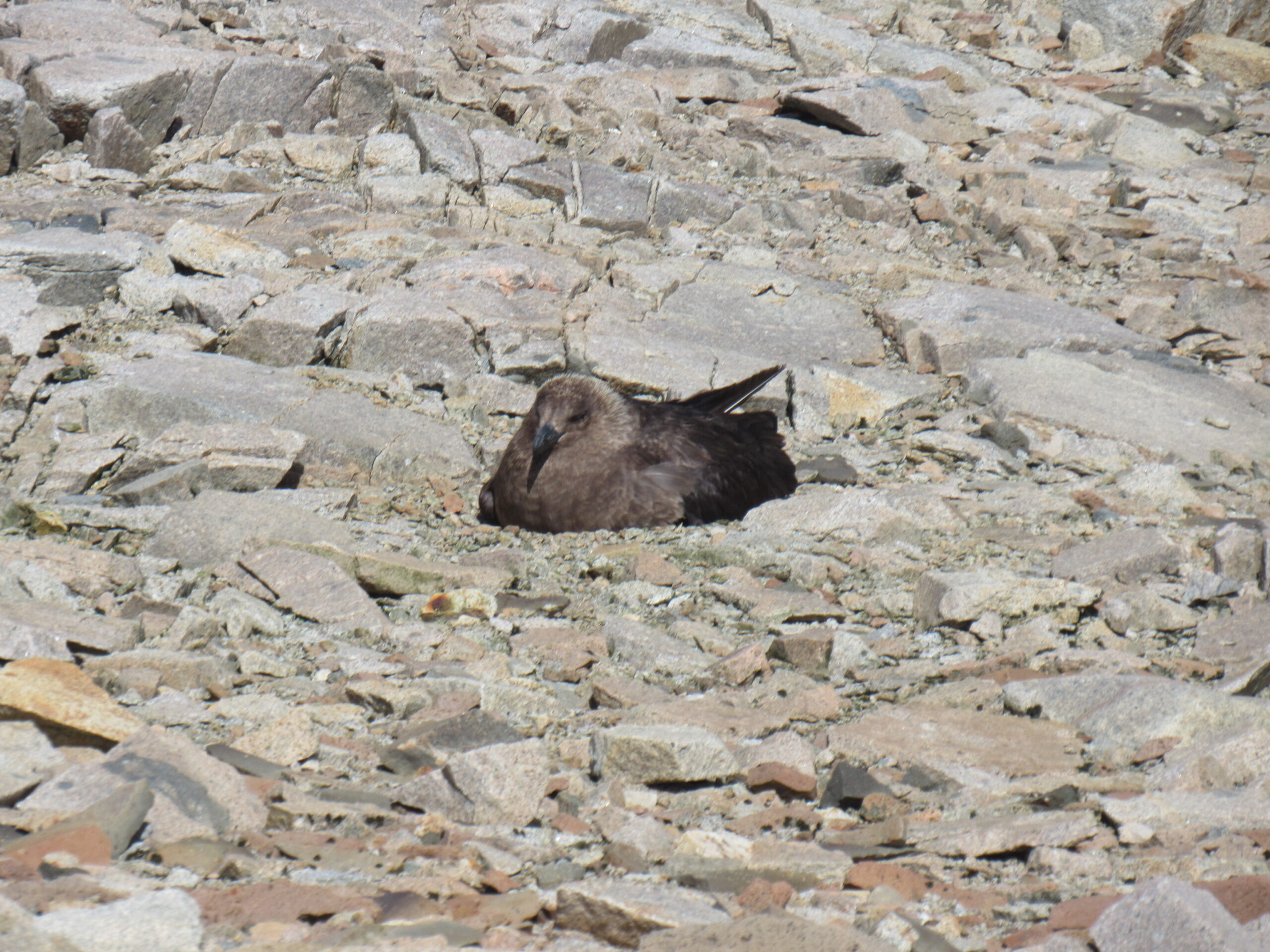
A skua on its nest
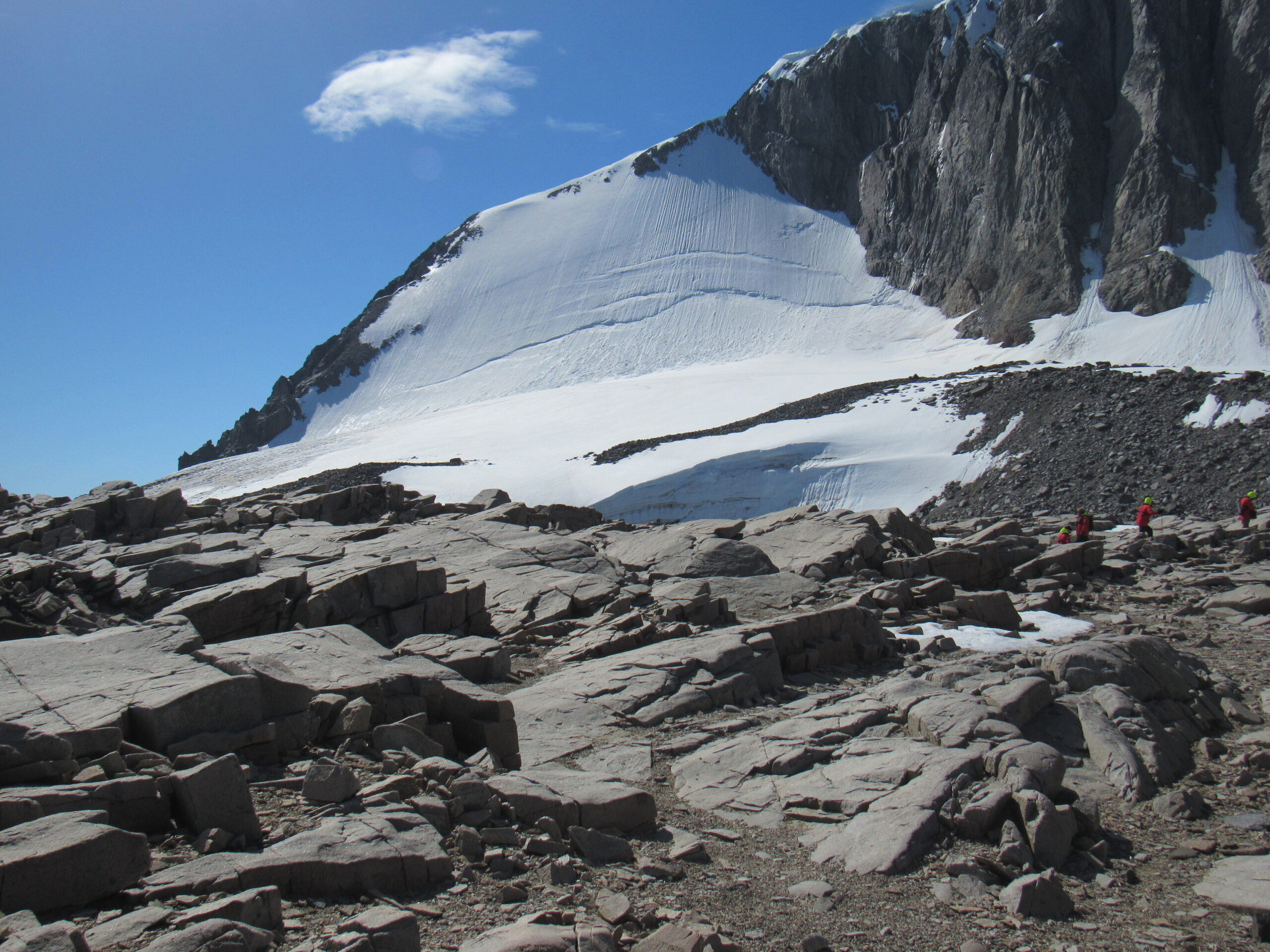
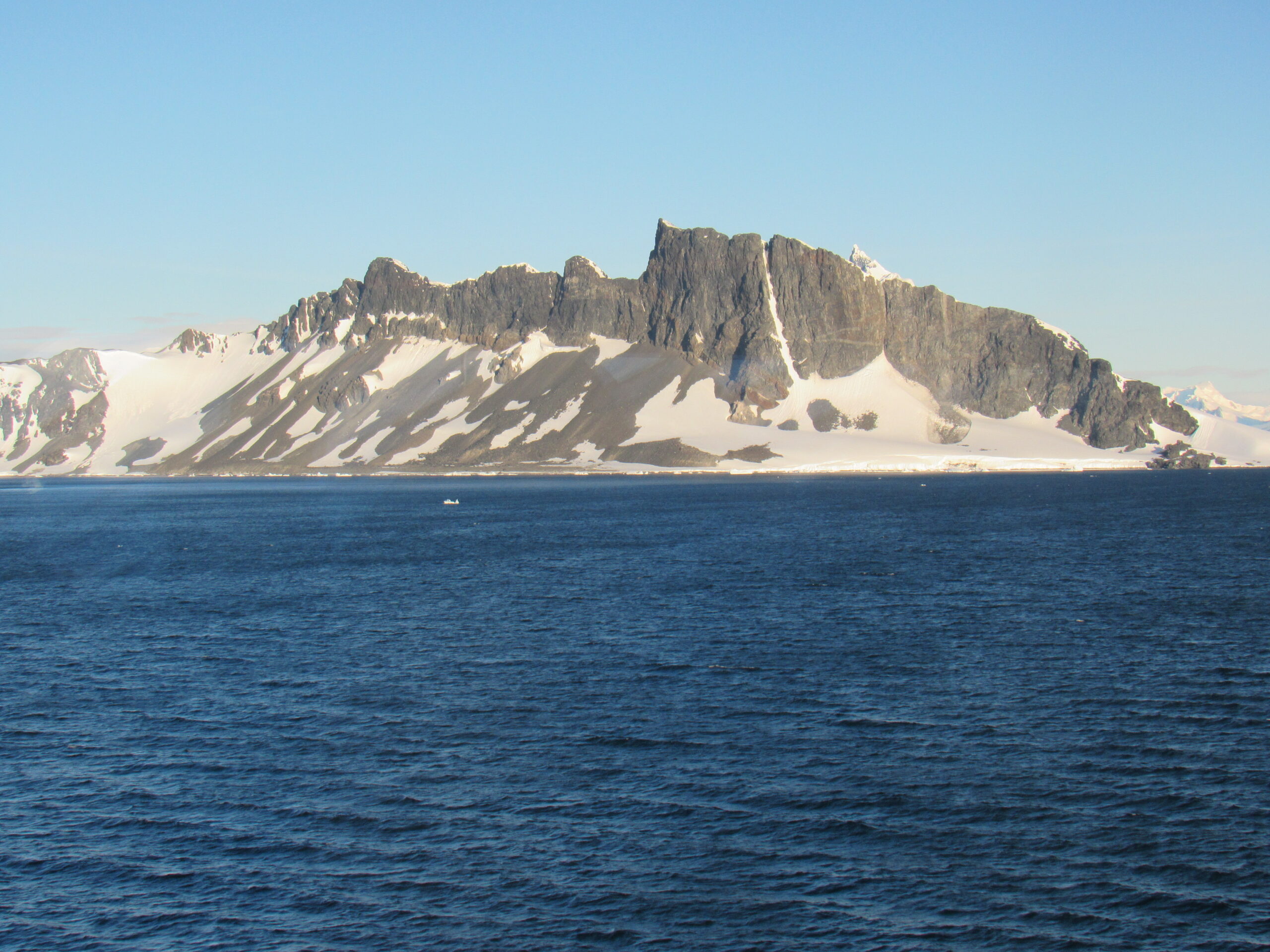
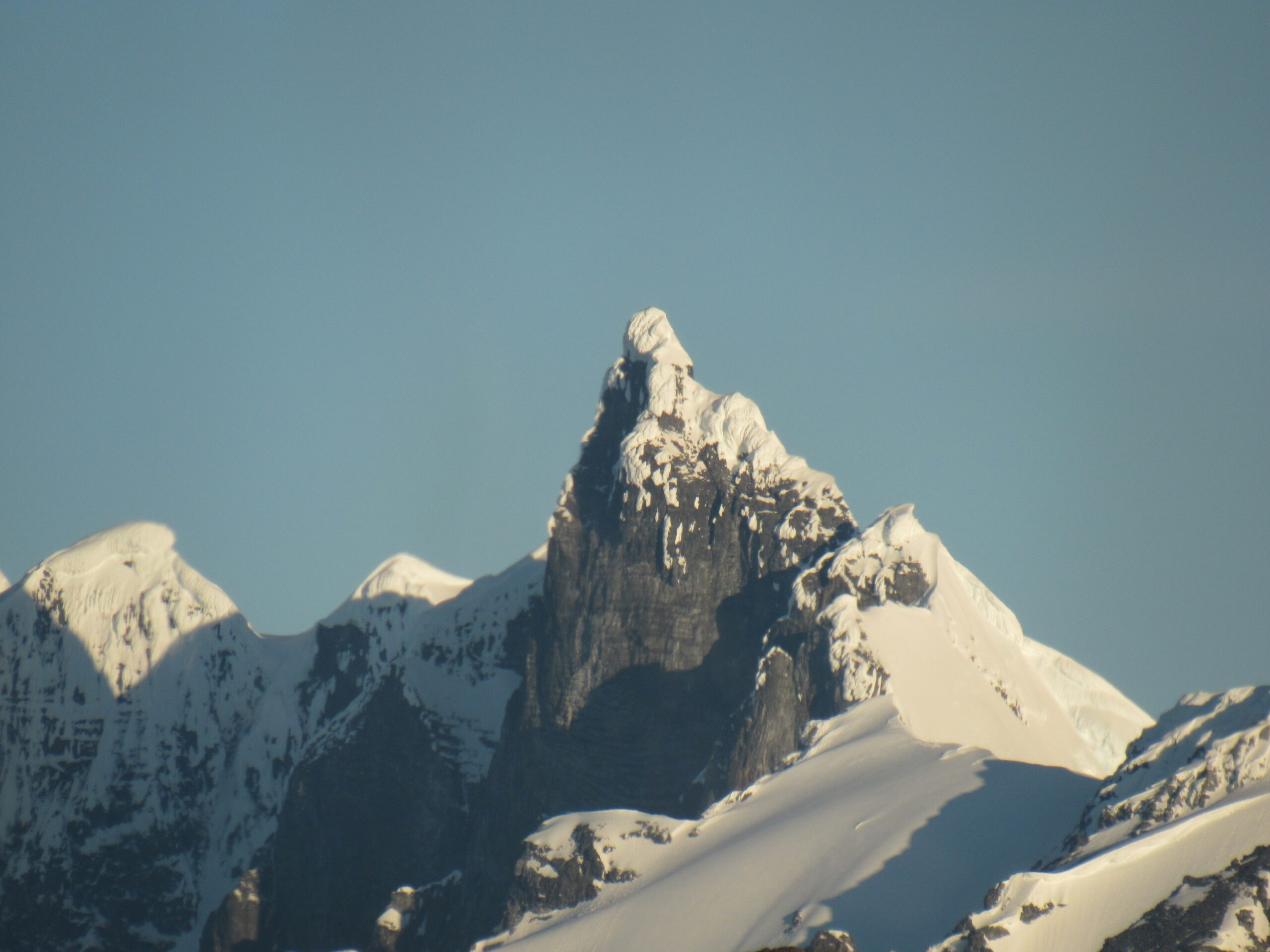
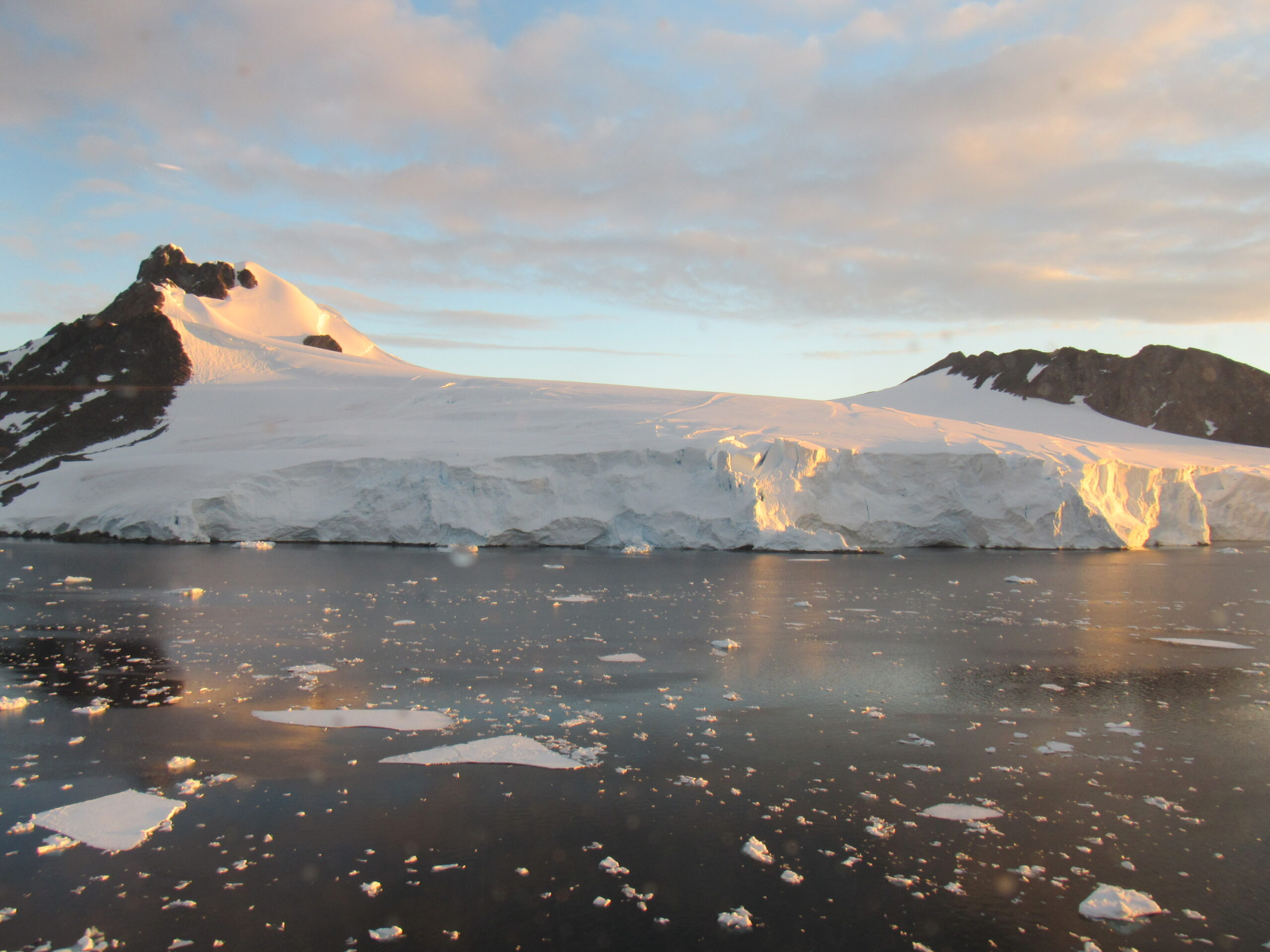
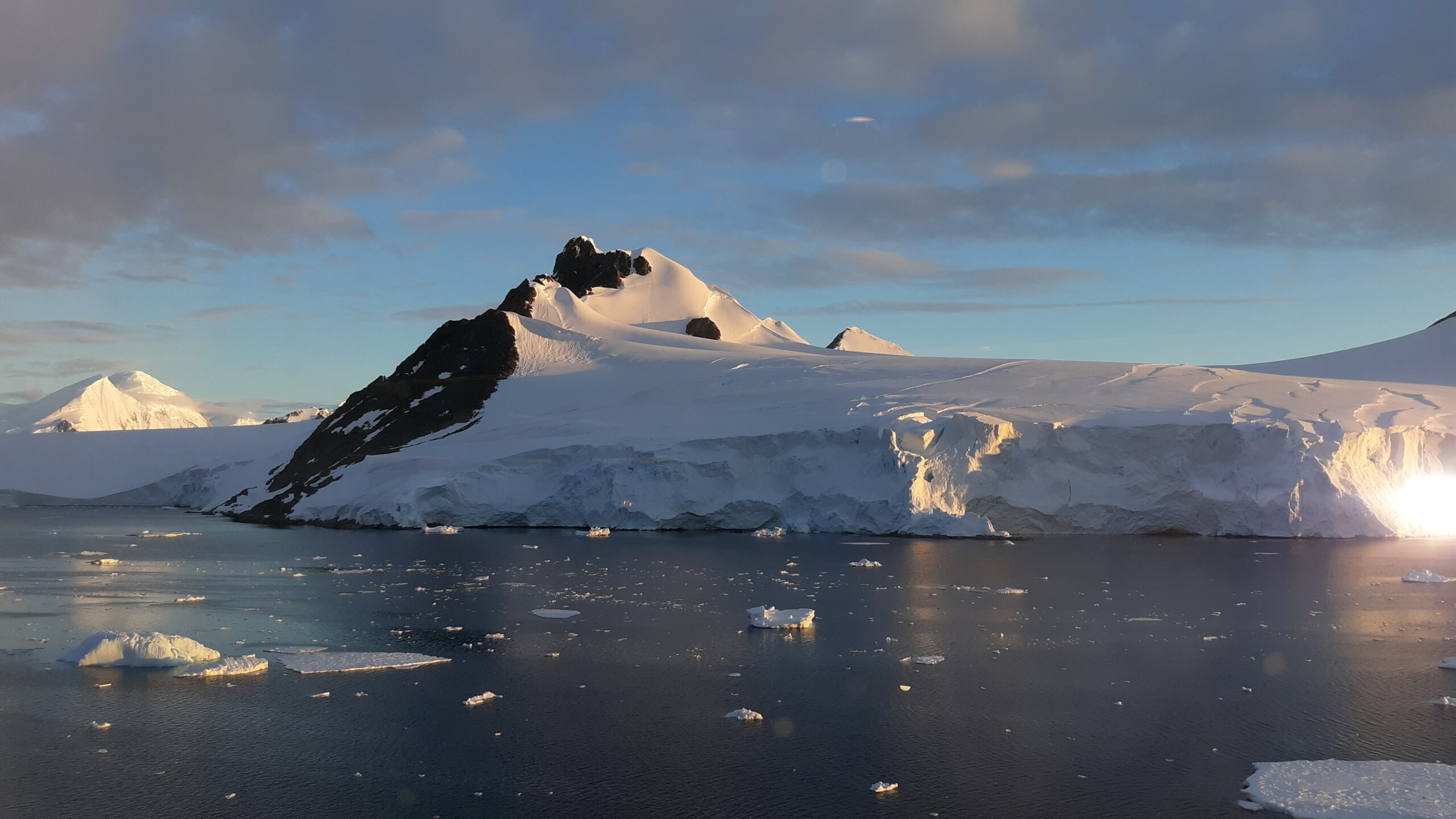
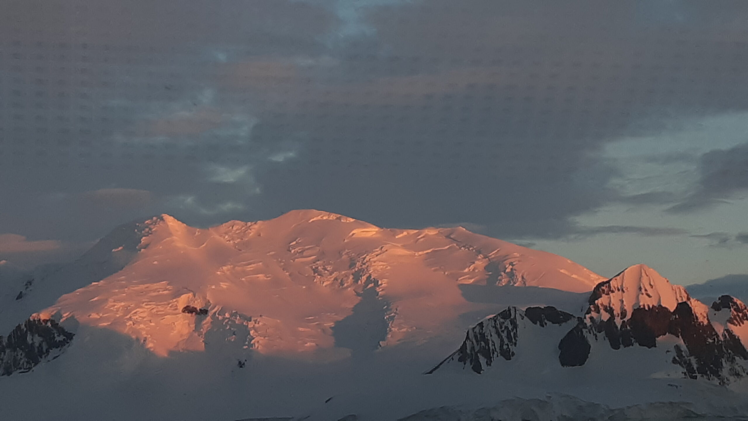
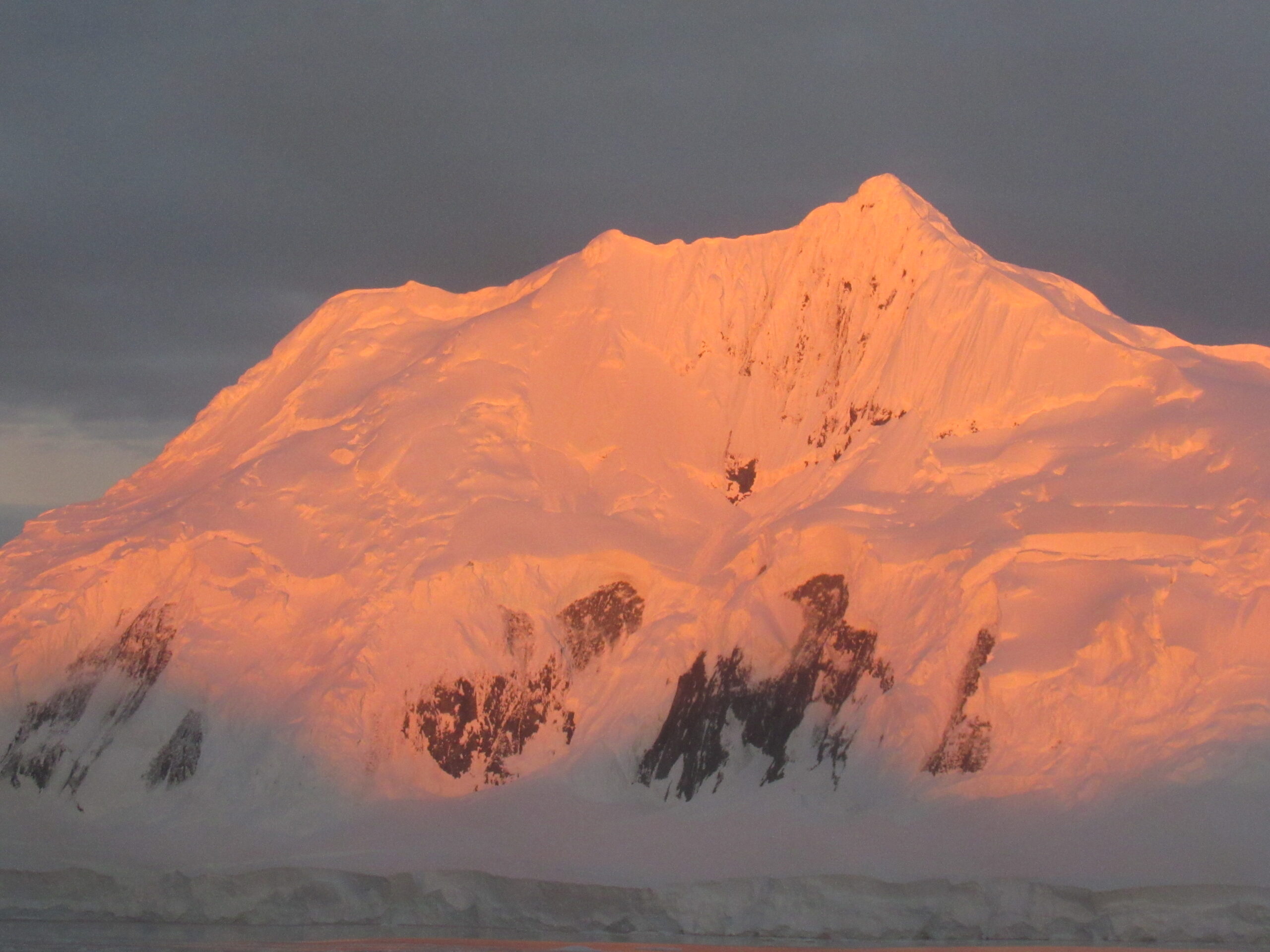
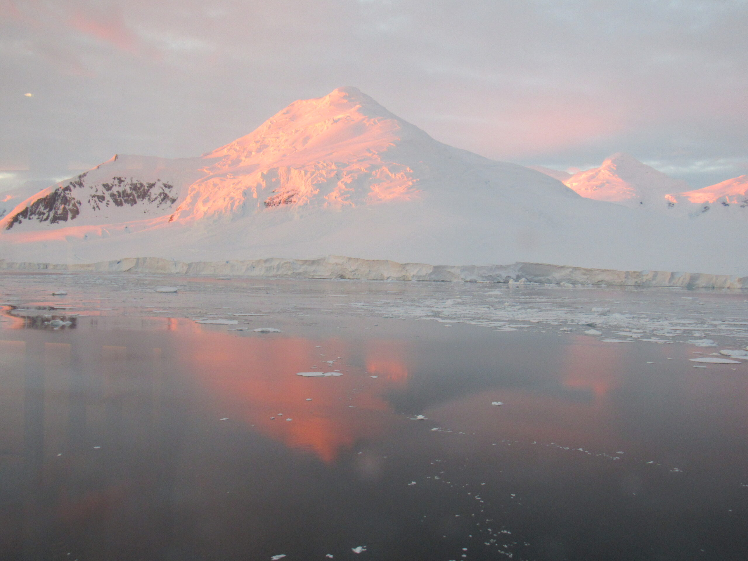
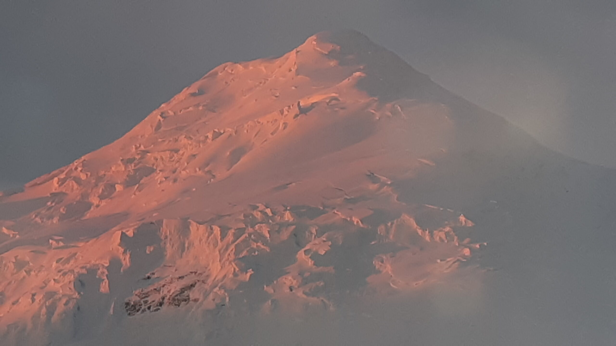
Red Rock Ridge detail.
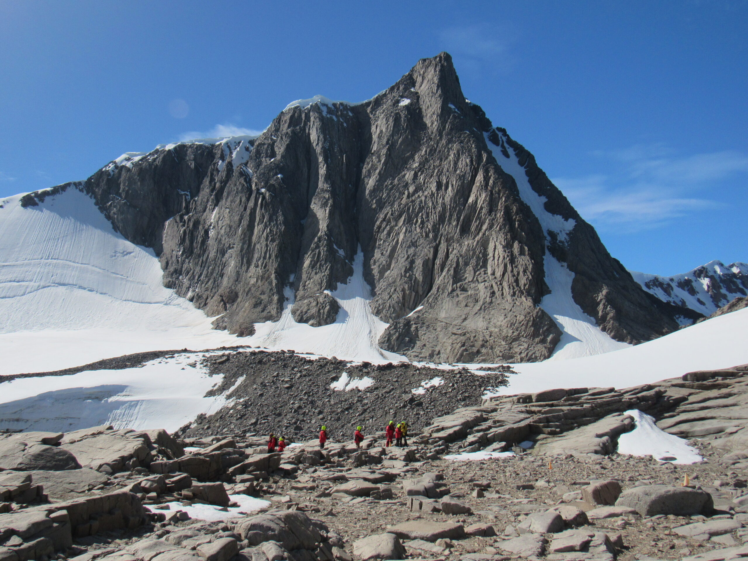
Red Rock Ridge
Here’s a short video I made while at the penguin colony.
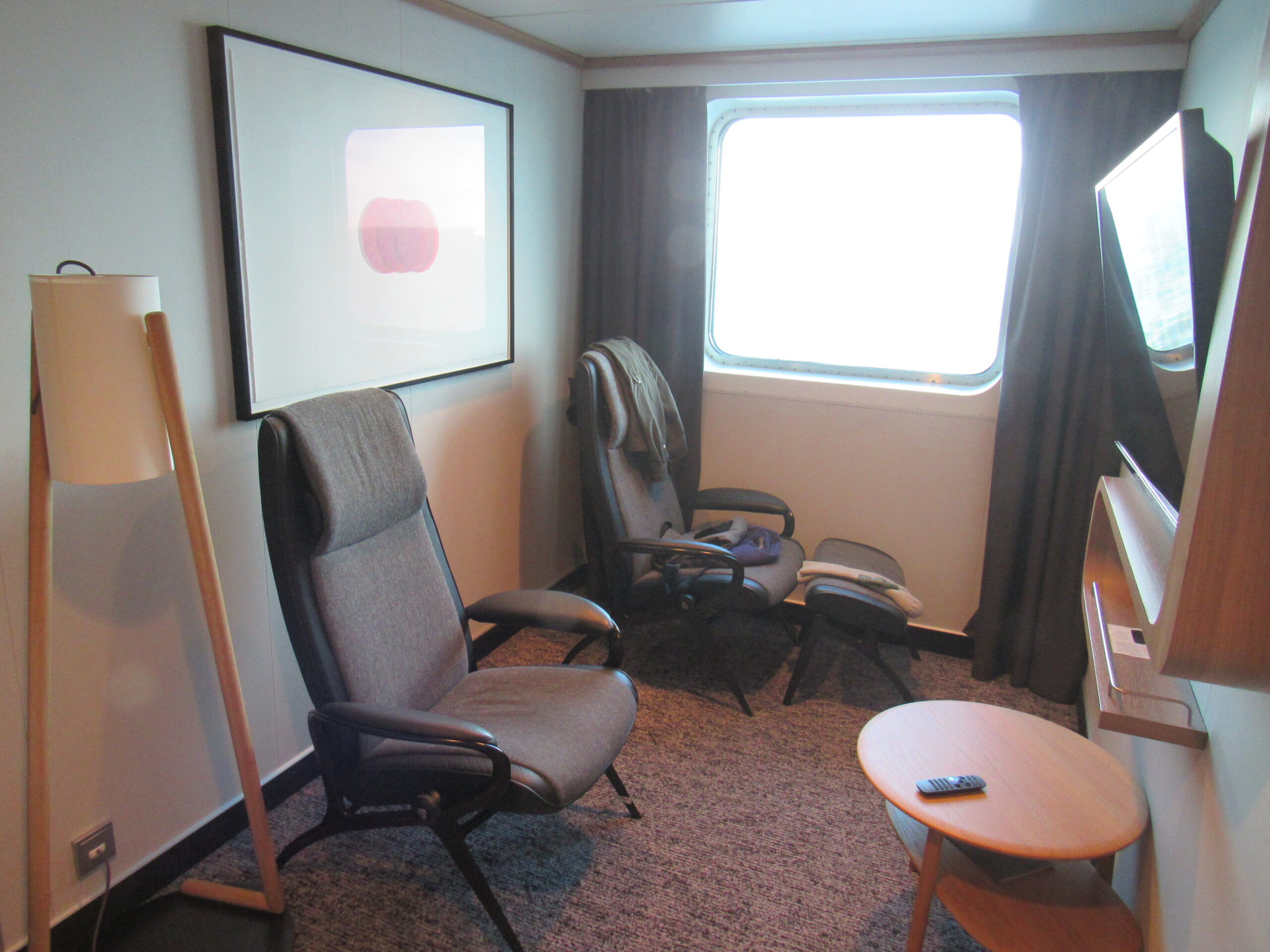
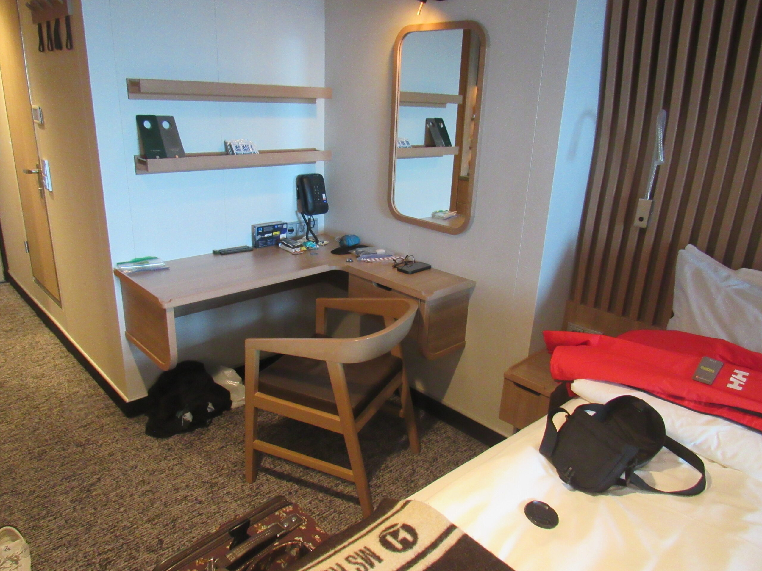
When our zodiacs returned to the ship, there was quite a swell. We had to carefully time our stepping back on to the ship, done as the boat rose up and down, and with the crew carefully grabbing on to each of us to assist us on to the loading platform. Once inside the ship on Deck 3, we had to stand in a machine that scrubbed our boots and disinfected them. By the time I made it back to my cabin, I was all tuckered out – I wondered if it was the recent Covid that had sapped my energy. Here are a few shots of my cabin.
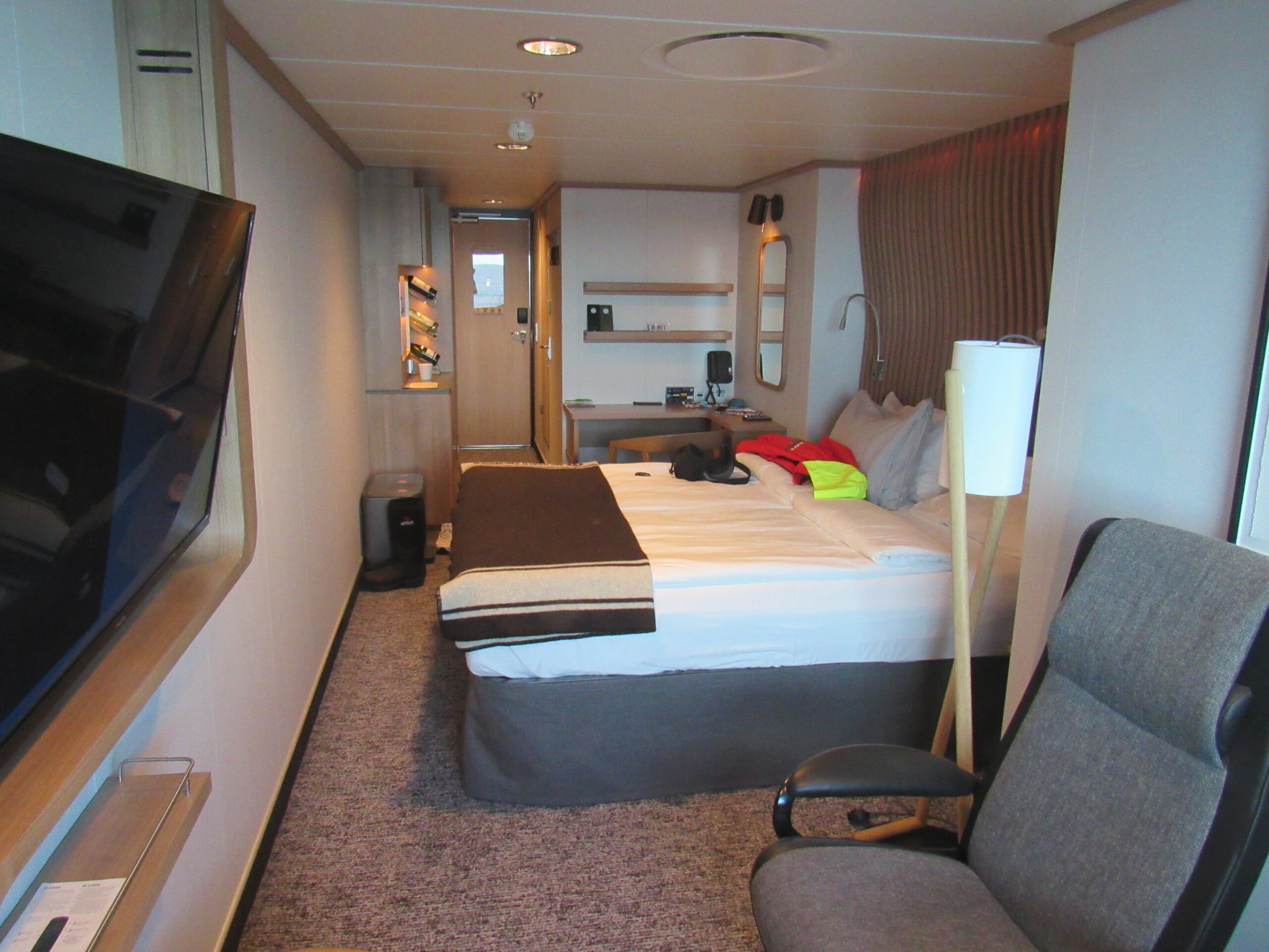
Looking back towards the door.
Looking towards the window.
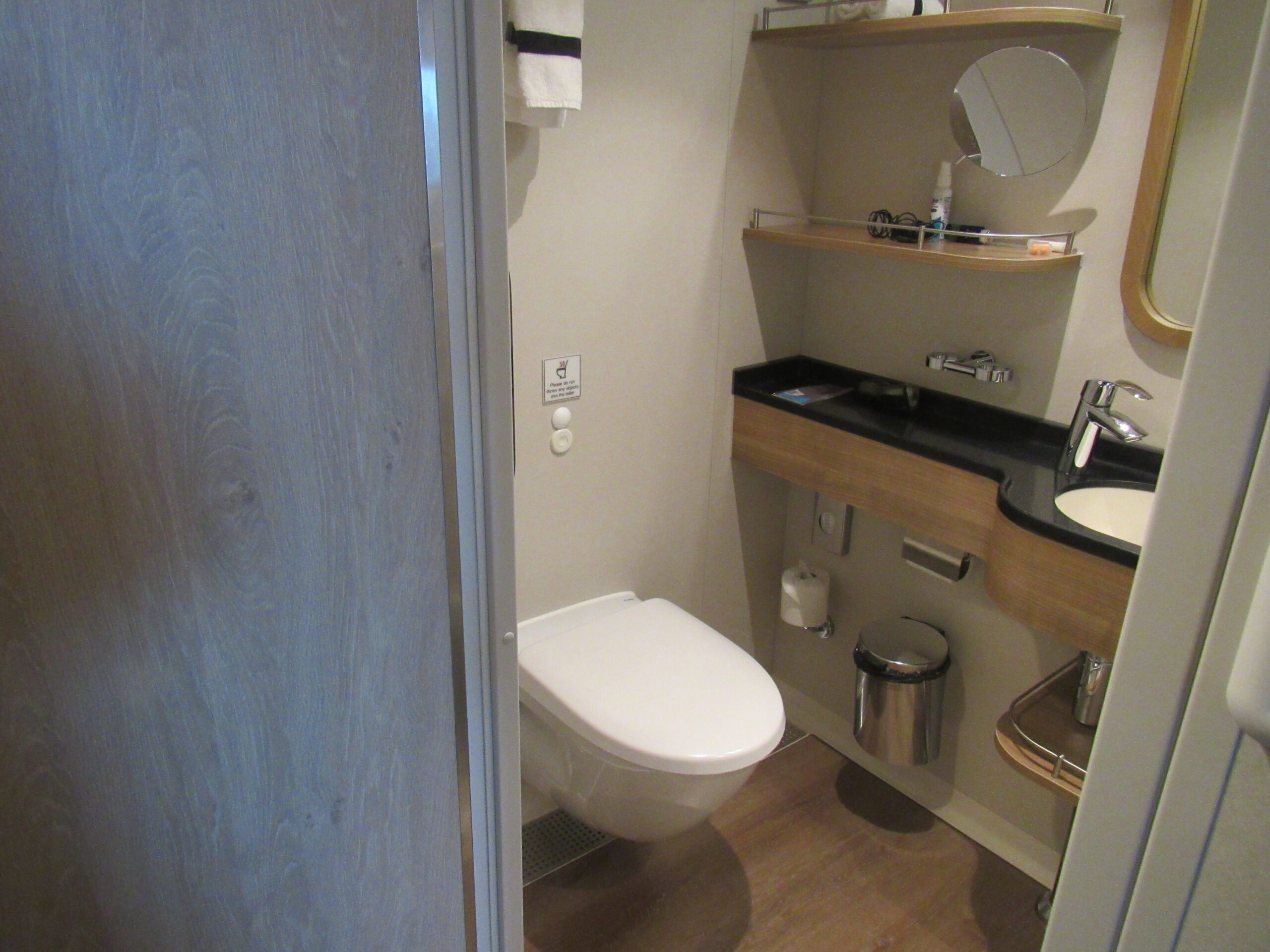
The bathroom
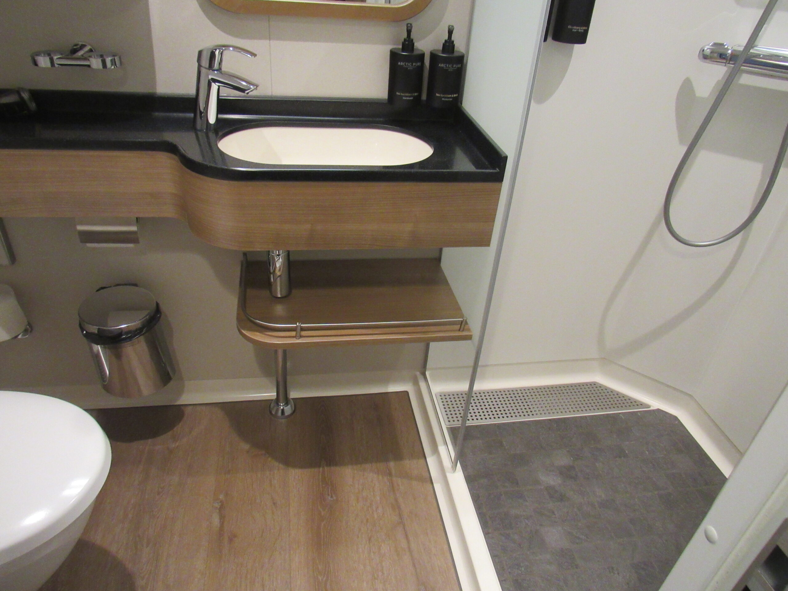
More bathroom. The shower was a comfortable size. The entire bathroom floor was heated, which felt great.
On the ship’s announcements, they said that tomorrow we would go to the Fish Islands, that we’d be there in the morning. It would be cool, only in the 20s F. Also, that would place us around 66 degrees south latitude, so we would have left the land within the Antarctic Circle. We wouldn’t do a shore landing – rather, we’d cruise around in the Zodiacs and enjoy the scenery.
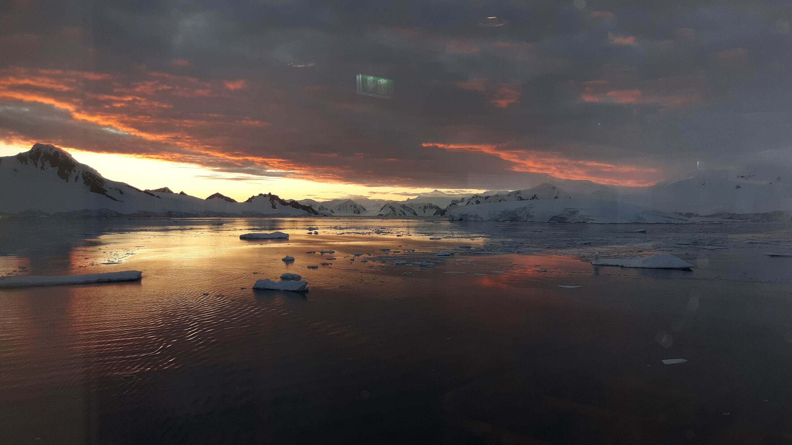
It was later in the afternoon when the captain announced that that evening we would attempt to sail north and pass through a place called The Gullet. He said it’d be around midnight, that it was a place of spectacular scenery and if we stayed up late enough to see it, we wouldn’t be disappointed. That sounded good to me, so I planned to take it in. We leisurely cruised around Marguerite Bay for a while, then headed north. If we could make it all the way through The Gullet and points north, we’d have taken a short-cut to get to the Fish Islands.
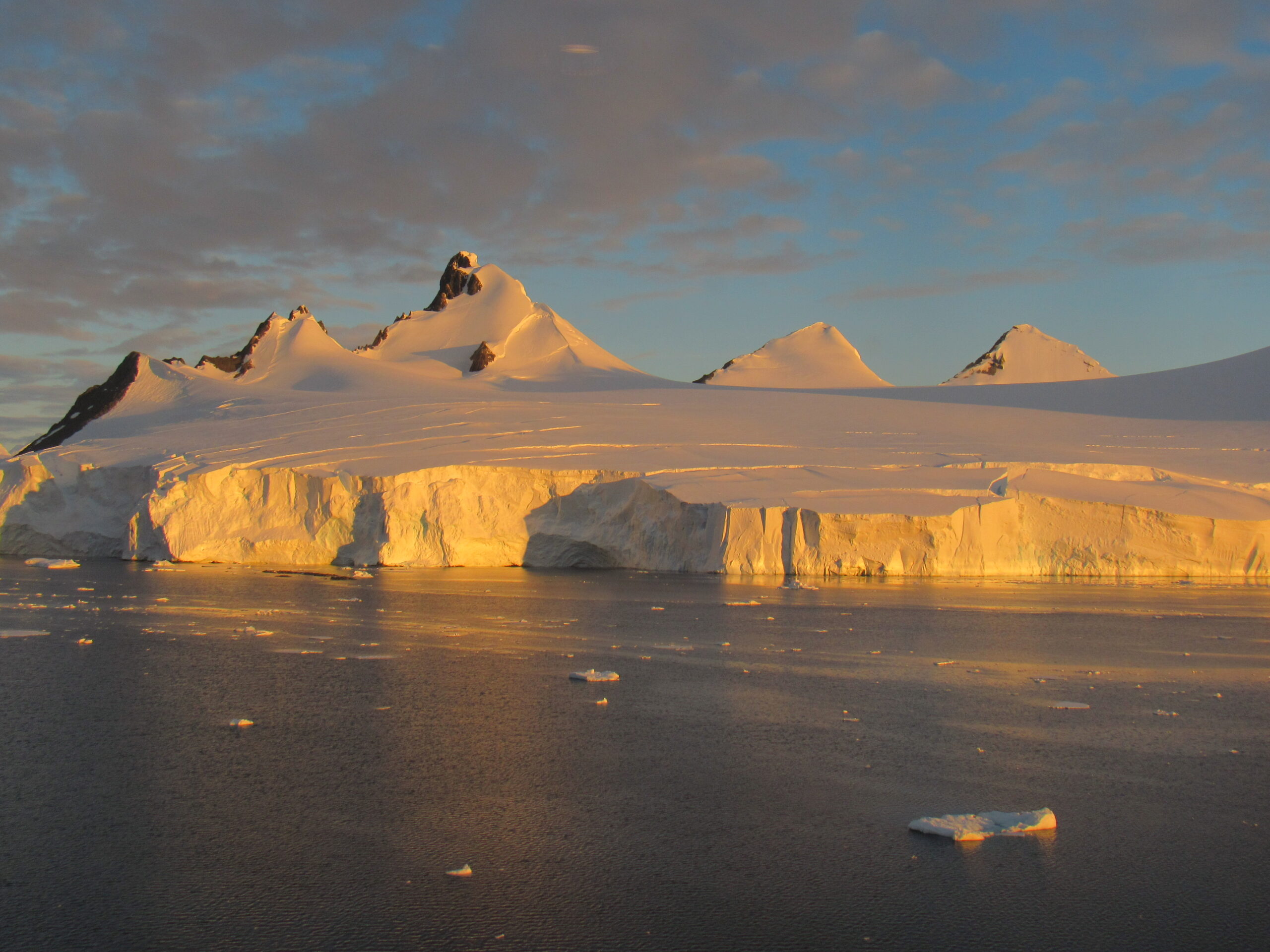
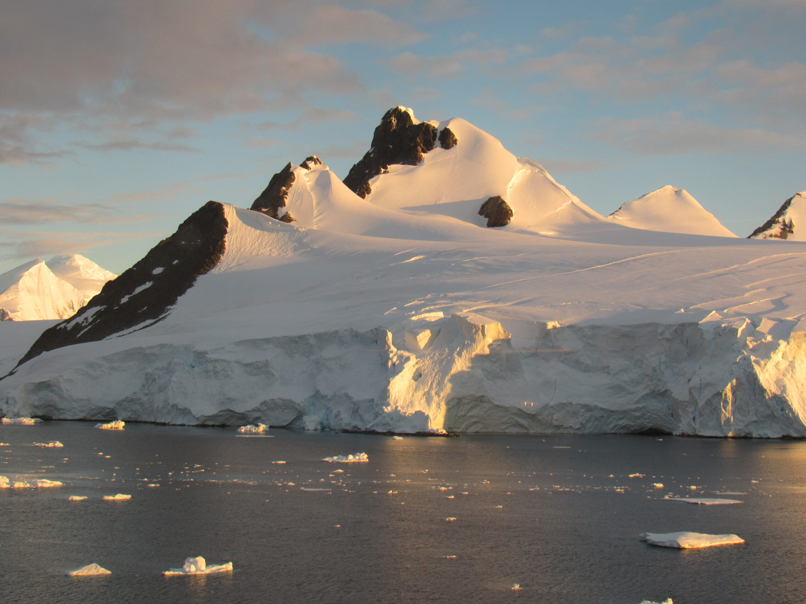
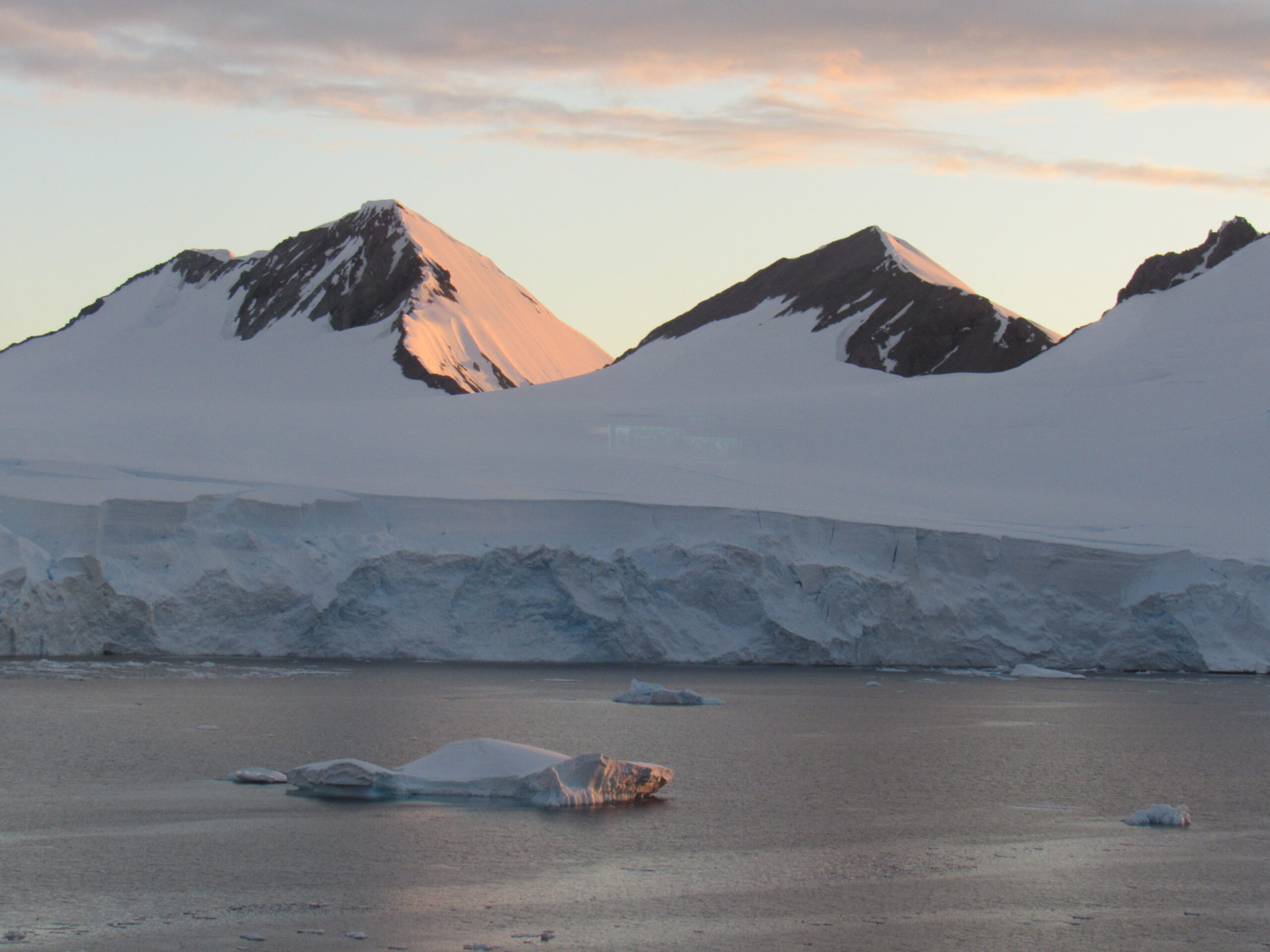
We were traveling along the eastern shore of Adelaide Island and in the evening I started to take more pictures. These next 3 were taken around 9:30 PM.
Looking west to Adelaide Island, as is the next photo.
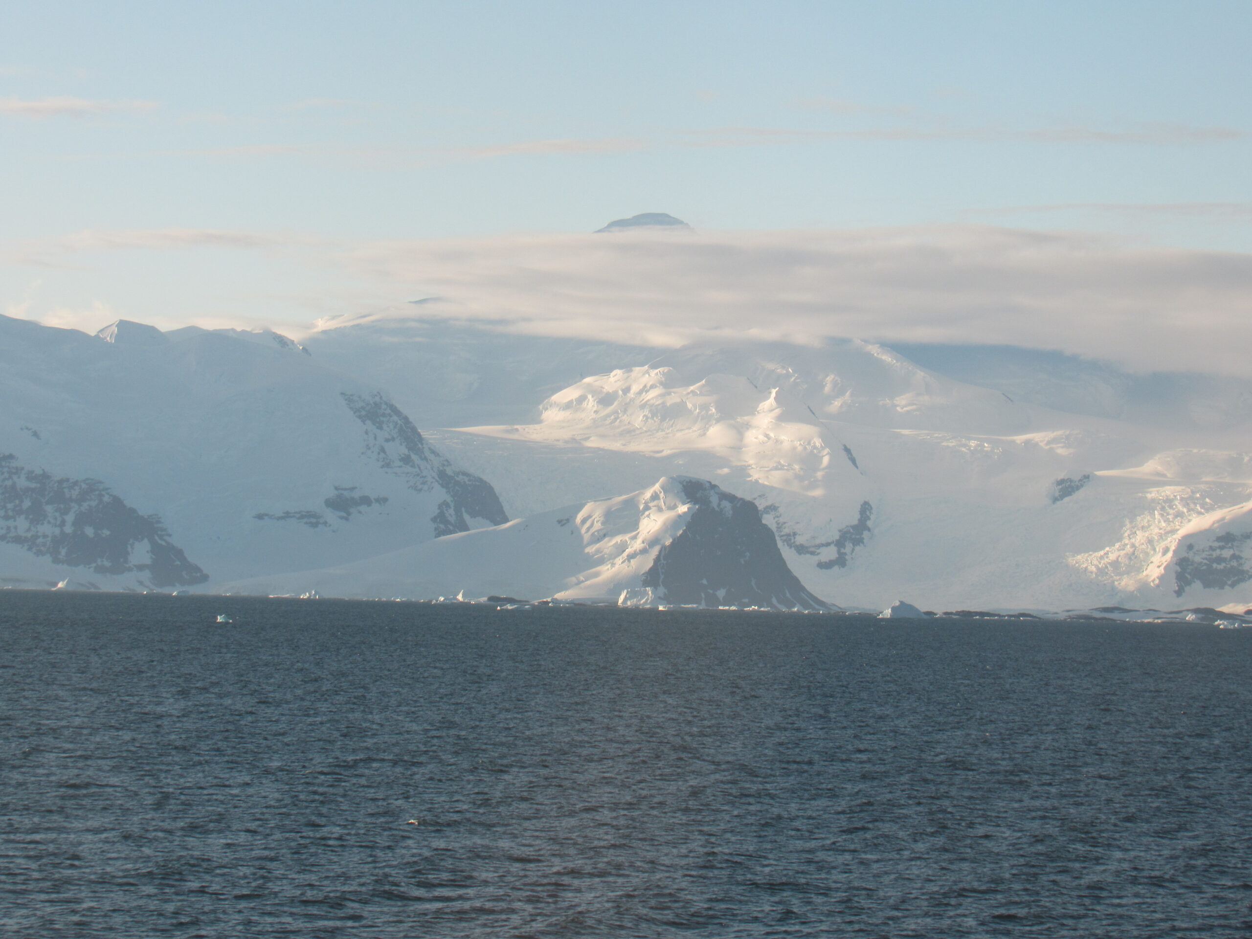
These next 4 photos were taken around 10:00 PM.
Looking west to Graham Land on the Antarctic Peninsula, as is the next photo.
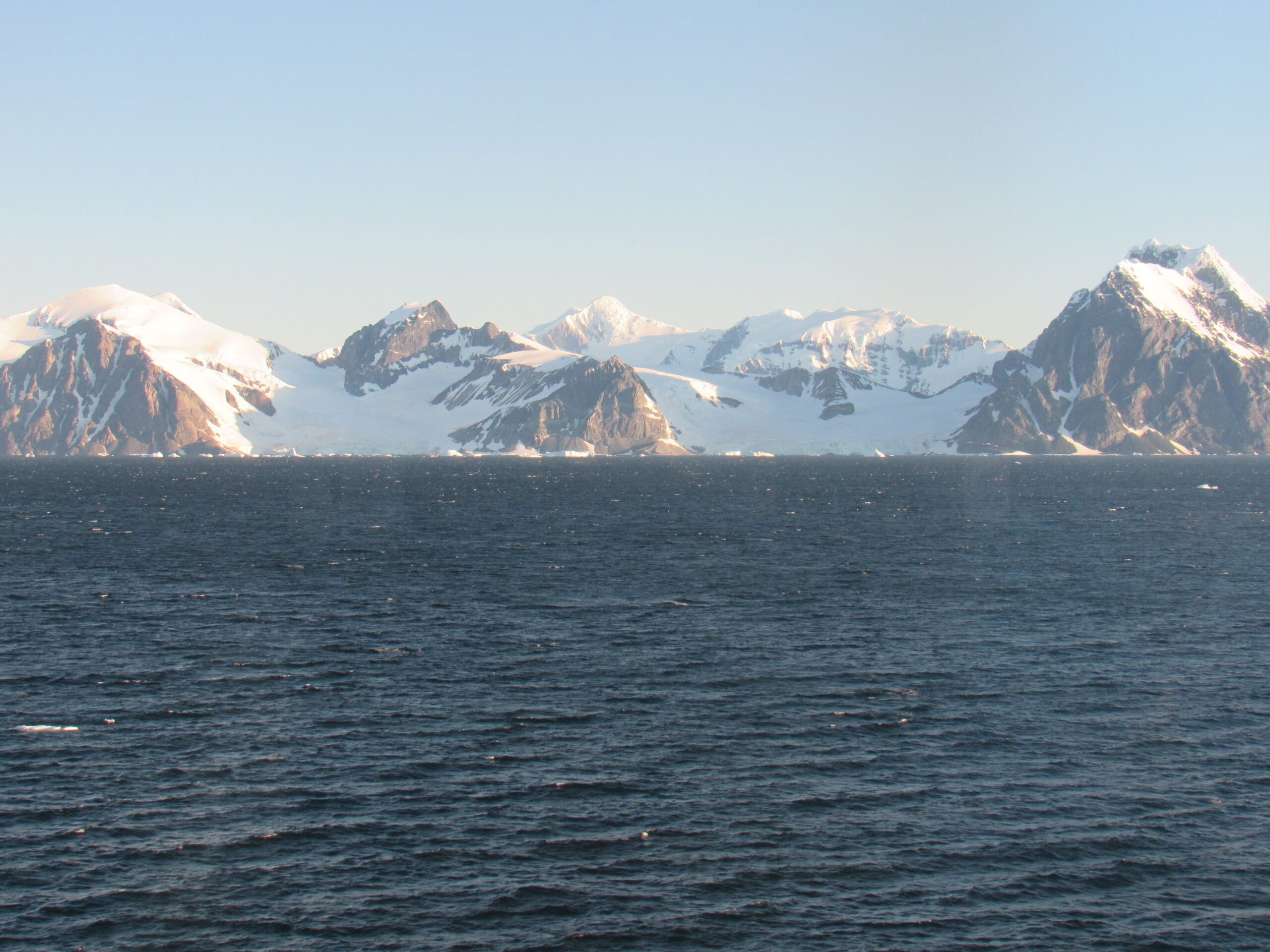
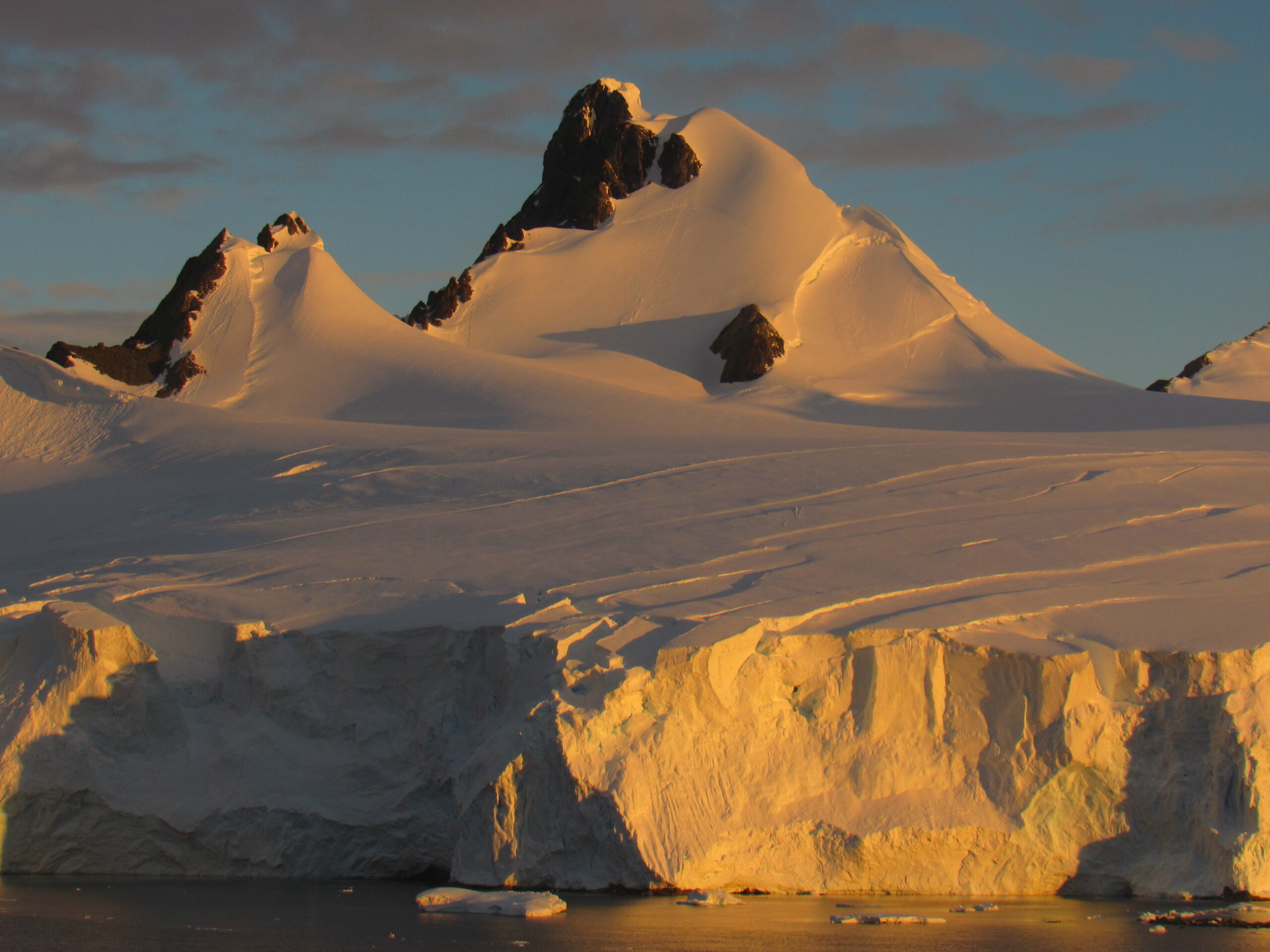
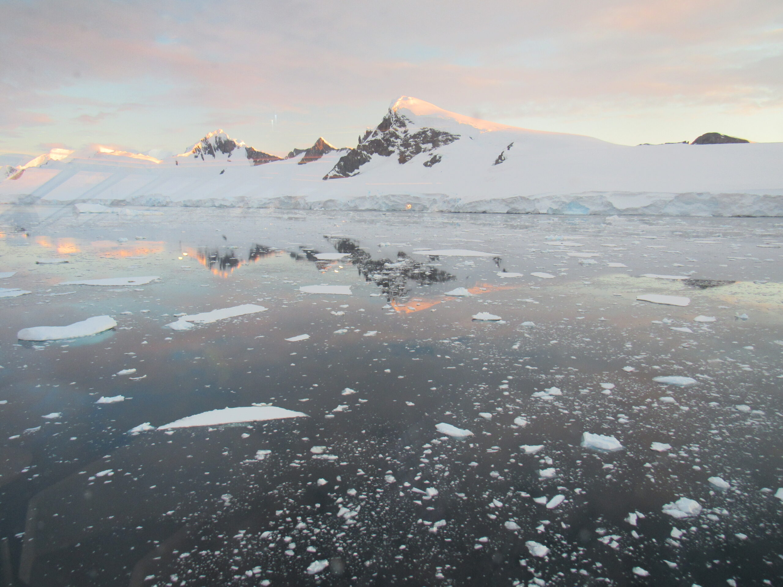
As we continued north into The Gullet, we passed to the west of Day Island, at 67 degrees 15 minutes south latitude; about 9 miles later, we passed along the west side of Hansen Island, at 67 degrees 6 minutes south latitude. The next 3 photos were taken around 10:30 in the evening.
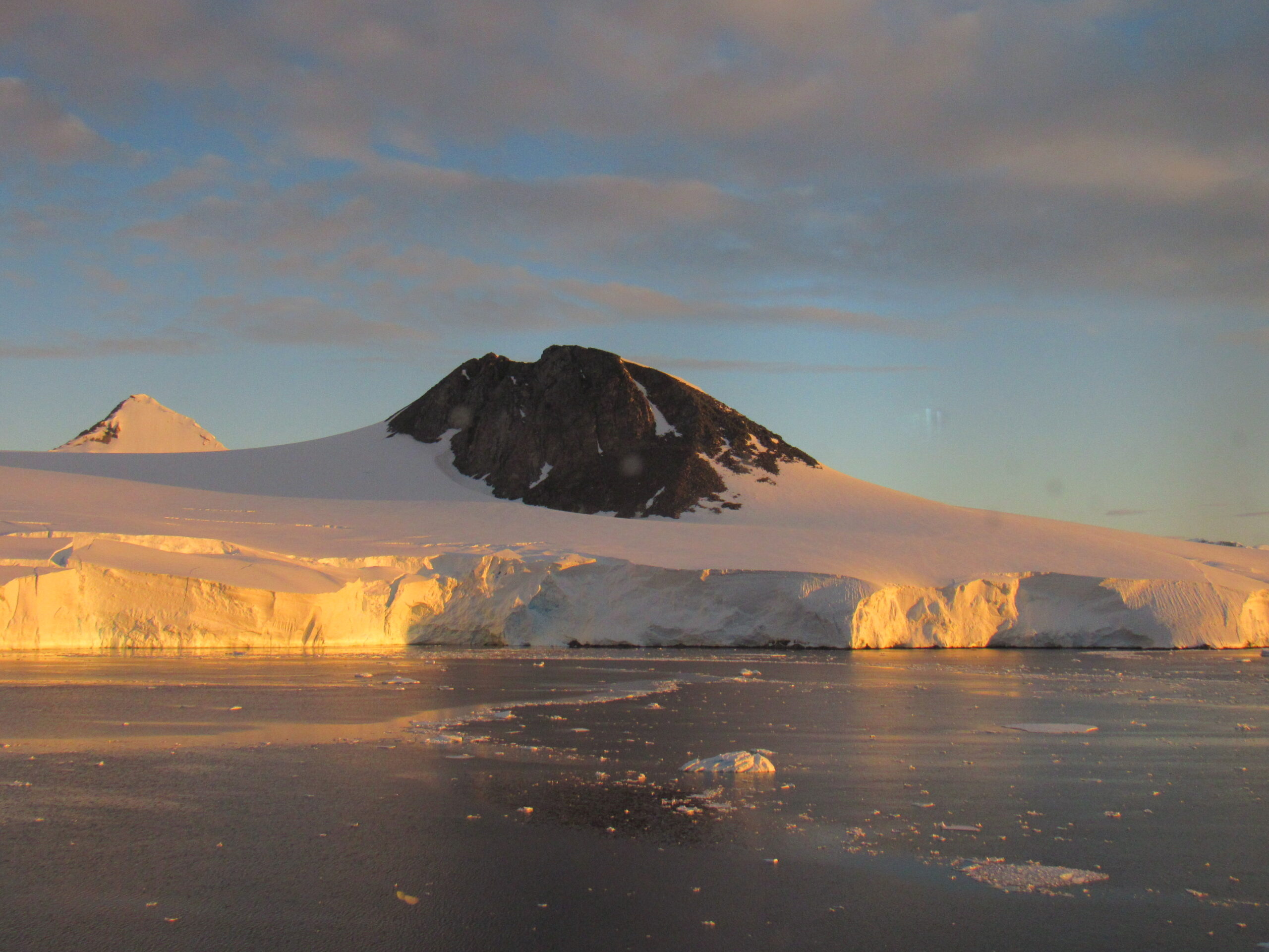
Looking west to peaks on the Arrowsmith Peninsula on the mainland.
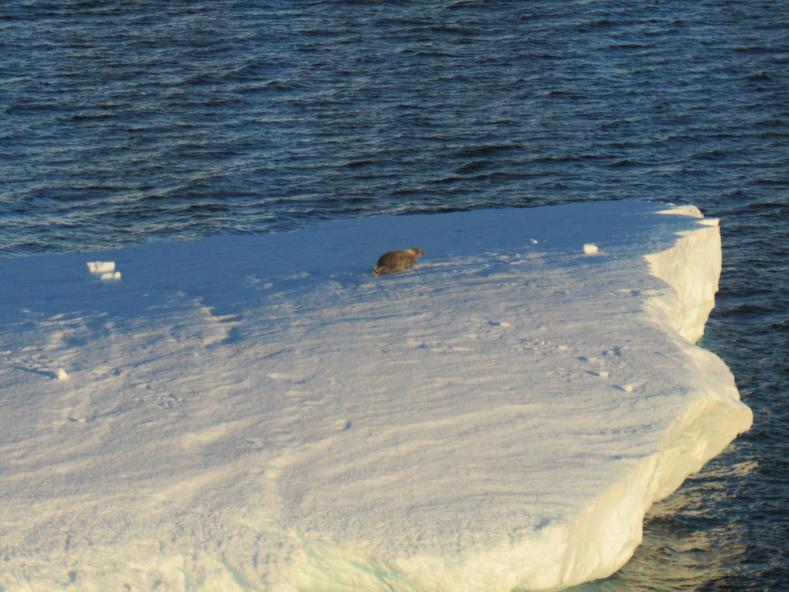
A lone seal on an iceberg.
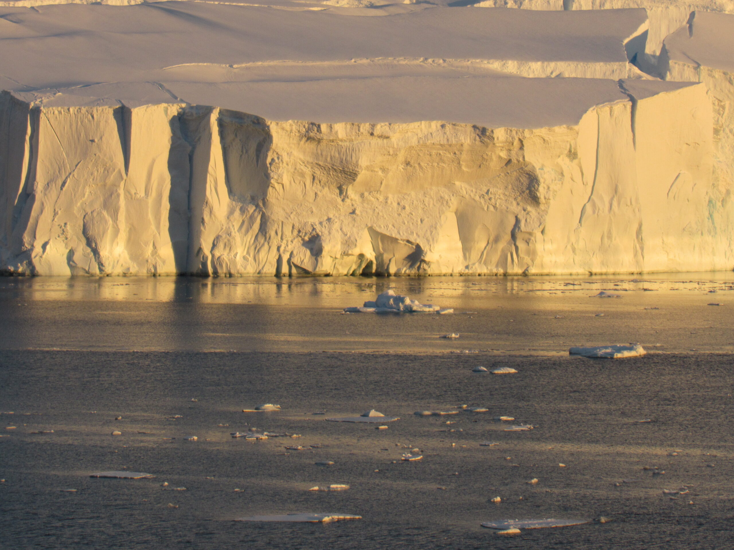
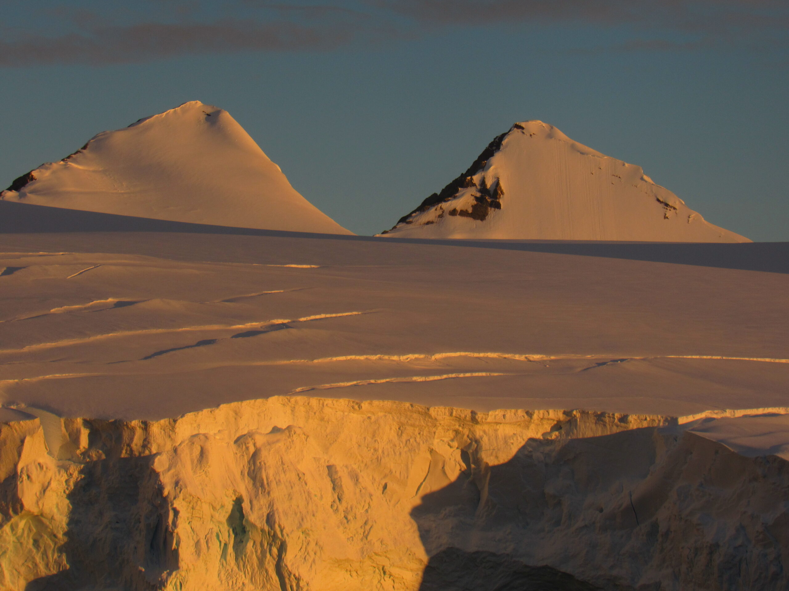
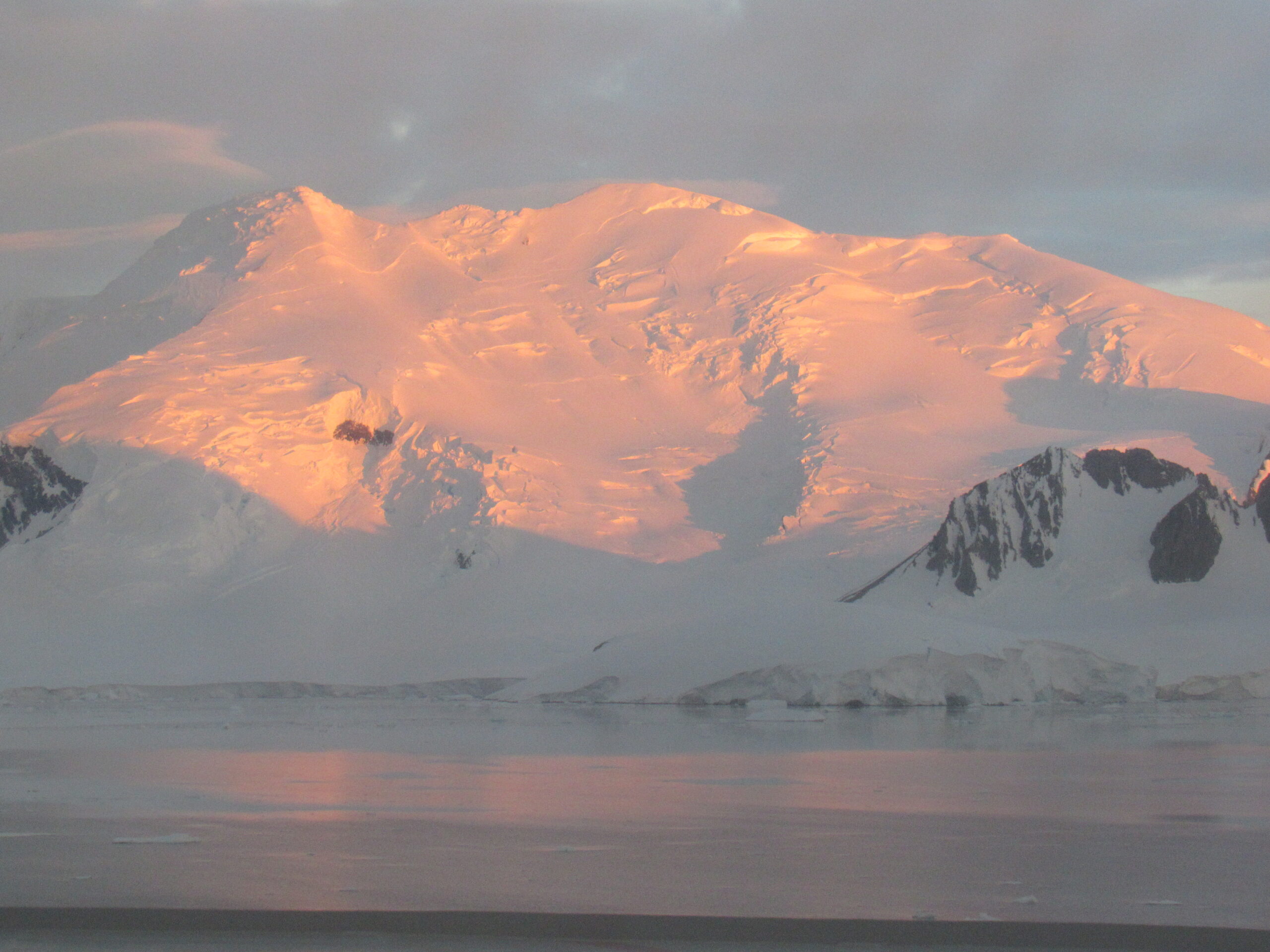
These next photos were all taken around 11:15 PM. I keep mentioning the time to illustrate how late we had the sunlight.
As we entered The Gullet, there was more ice floating around.
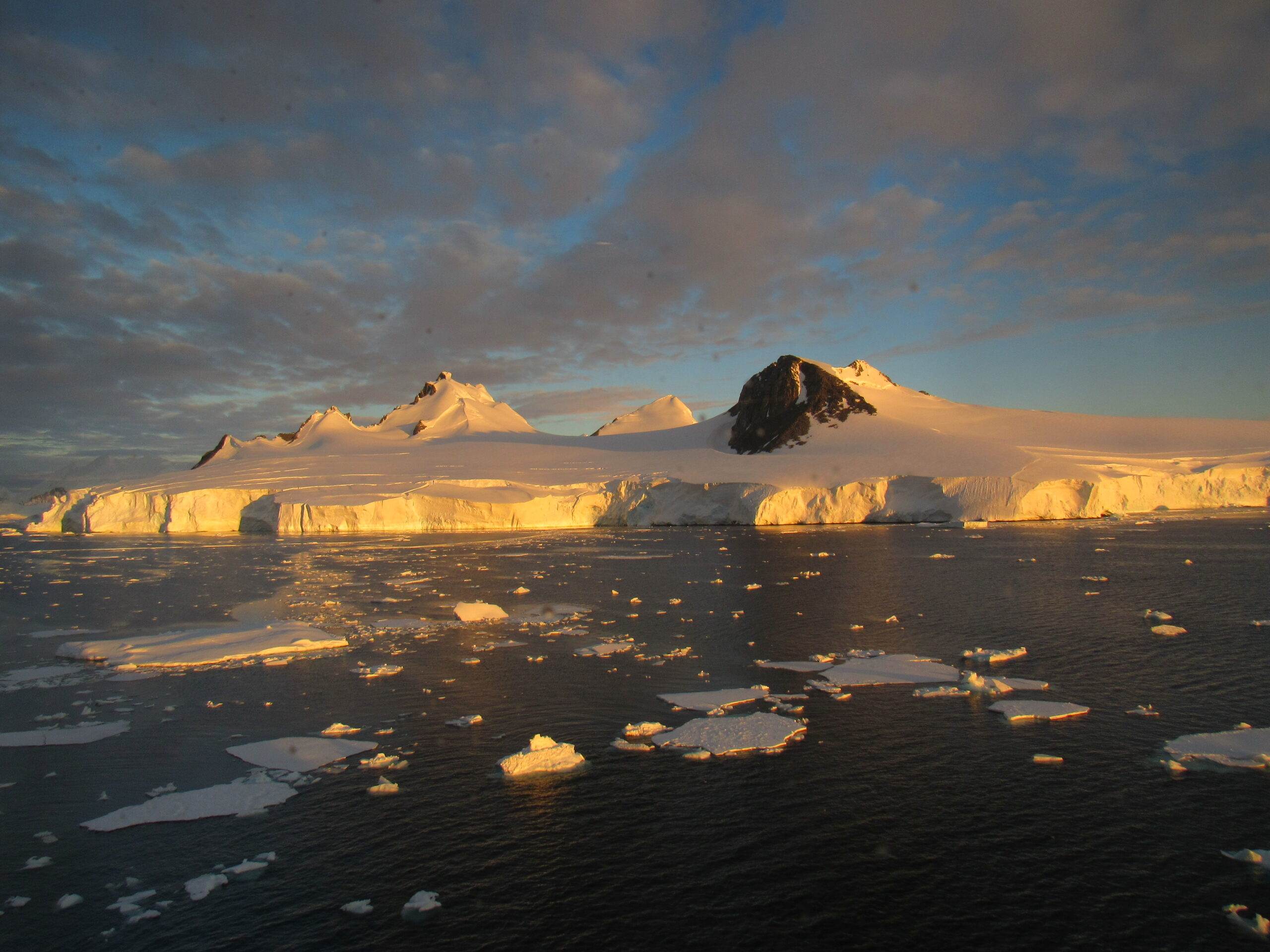
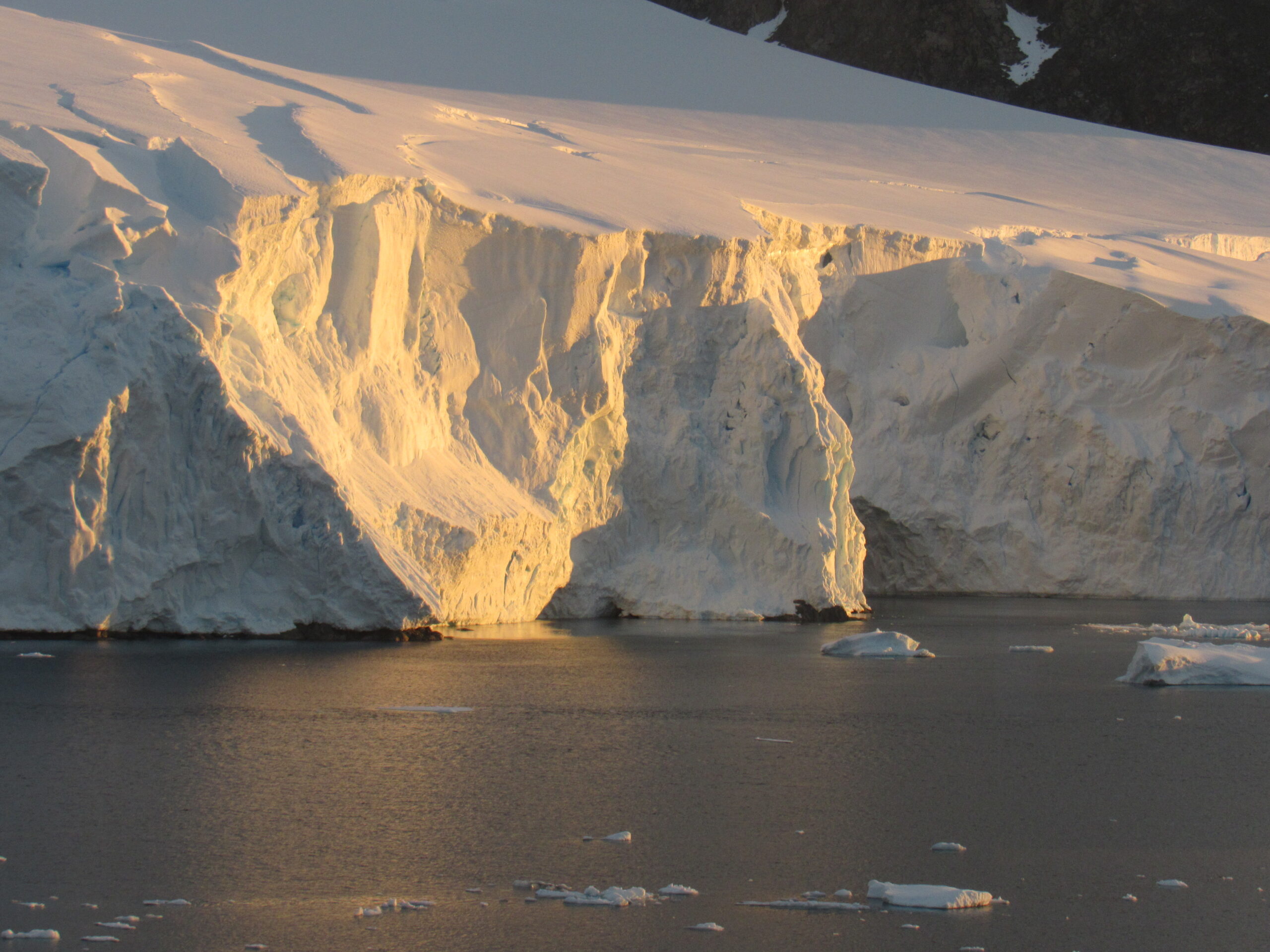
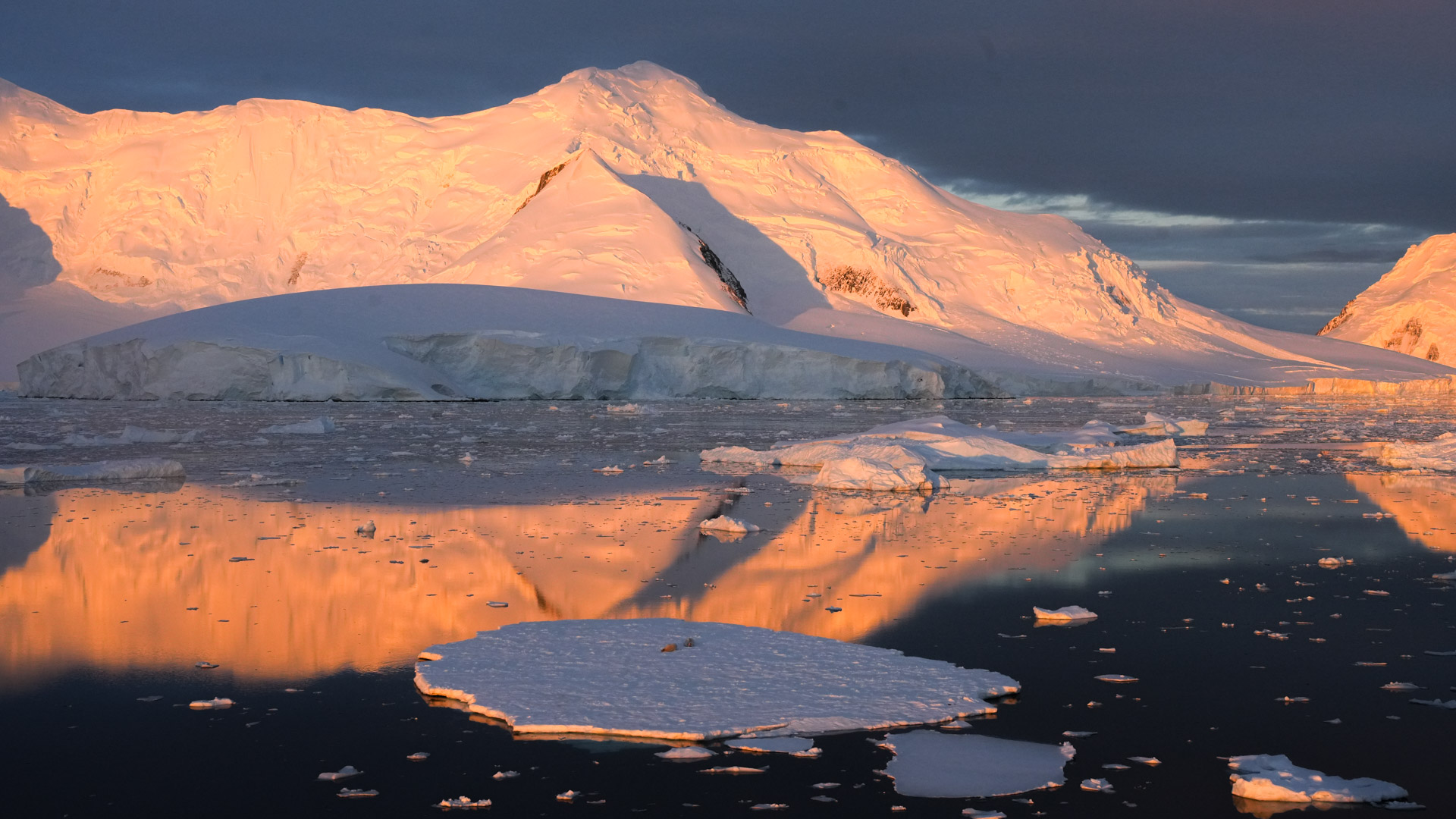
These next photos show the land on the east side of The Gullet. Almost every bit of the land was covered with a thick layer of ice – it was spectacular to look at, and I never tired of it.
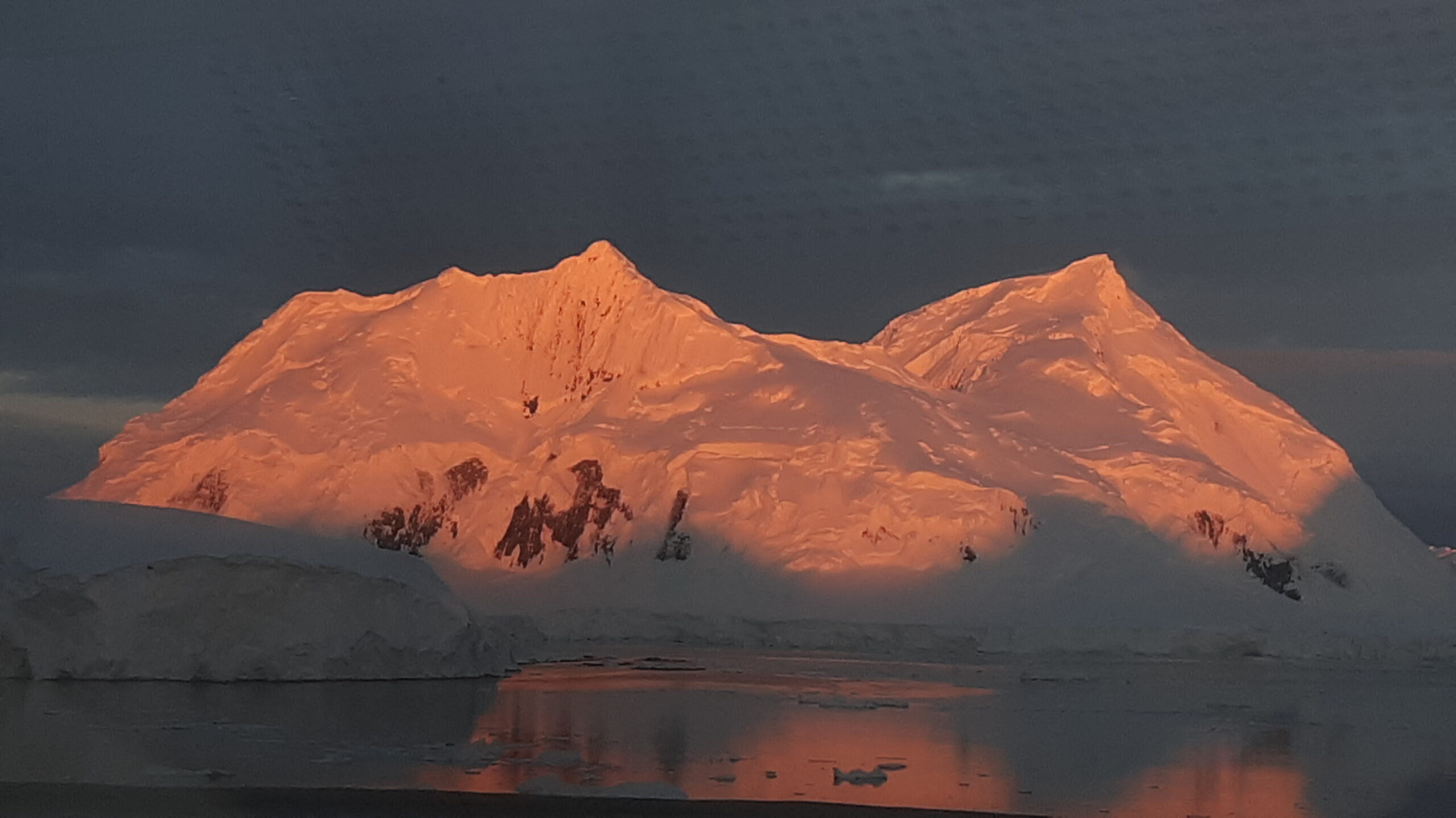
I took this one on my cell phone at 11:23 PM.
I took this next one at 11:40.
And this one at 11:55 PM, just before midnight. As we continued north at 5-6 knots, and sometimes as slow as 3 knots, there was a lot of ice floating on the ocean. The captain was steering a careful path through it.
Even after midnight, there was still plenty of light for taking pictures. This one was taken at 12:06 AM.
Next were these two at 12:12 AM.
These next photos were all taken just after 12:30 AM.
This one is looking back to the south, the way we had come.
The Gullet is a narrow channel separating Adelaide Island from the Arrowsmith Peninsula, a protrusion of the Antarctic Peninsula (Graham Land) that is notorious for usually being choked by ice. The region is surrounded by steep cliffs with many glaciers flowing into the ocean. The channel is 11 nautical miles in length. and separates Hansen Island on the north from Day Island on the south. The feature forms a constriction through which the tide flows between Hanusse Bay to the north and Laubeuf Fjord to the south, or in a broader sense, it separates Crystal Sound to the north from Marguerite Bay to the south.
This area was first explored in 1909 by the French Antarctic Expedition under Charcot who, though uncertain of the existence of the channel, sketched its probable position on the charts of the expedition. The channel was visited and roughly surveyed in 1936 by the British Graham Land Expedition (BGLE) under Rymill, when it was found to be narrower than indicated by the French expedition, and initially called “Loubet Strait” in association with the adjacent coast. It was resurveyed and given this descriptive name in 1948 by members of the Falklands Islands Dependencies Survey (FIDS).
Our ship had all of the latest technology available, and I’m sure that our captain had been tracking satellite imagery of the region, and also ice reports, so that he hoped the channel would be navigable. I stayed up and photographed the scenery until well after midnight. It appeared that we had made it all the way through The Gullet by the time I retired to my cabin. I want to show this screenshot from the ship’s navigation channel that I saw on my TV. The bottom of the red teardrop is where we were. Just to the right of us (to the east) is Hansen Island (7 miles long), at the north end of The Gullet. You can see that the ocean opens up to the north of us into the broad Crystal Sound. We were heading north, towards the top of the map.
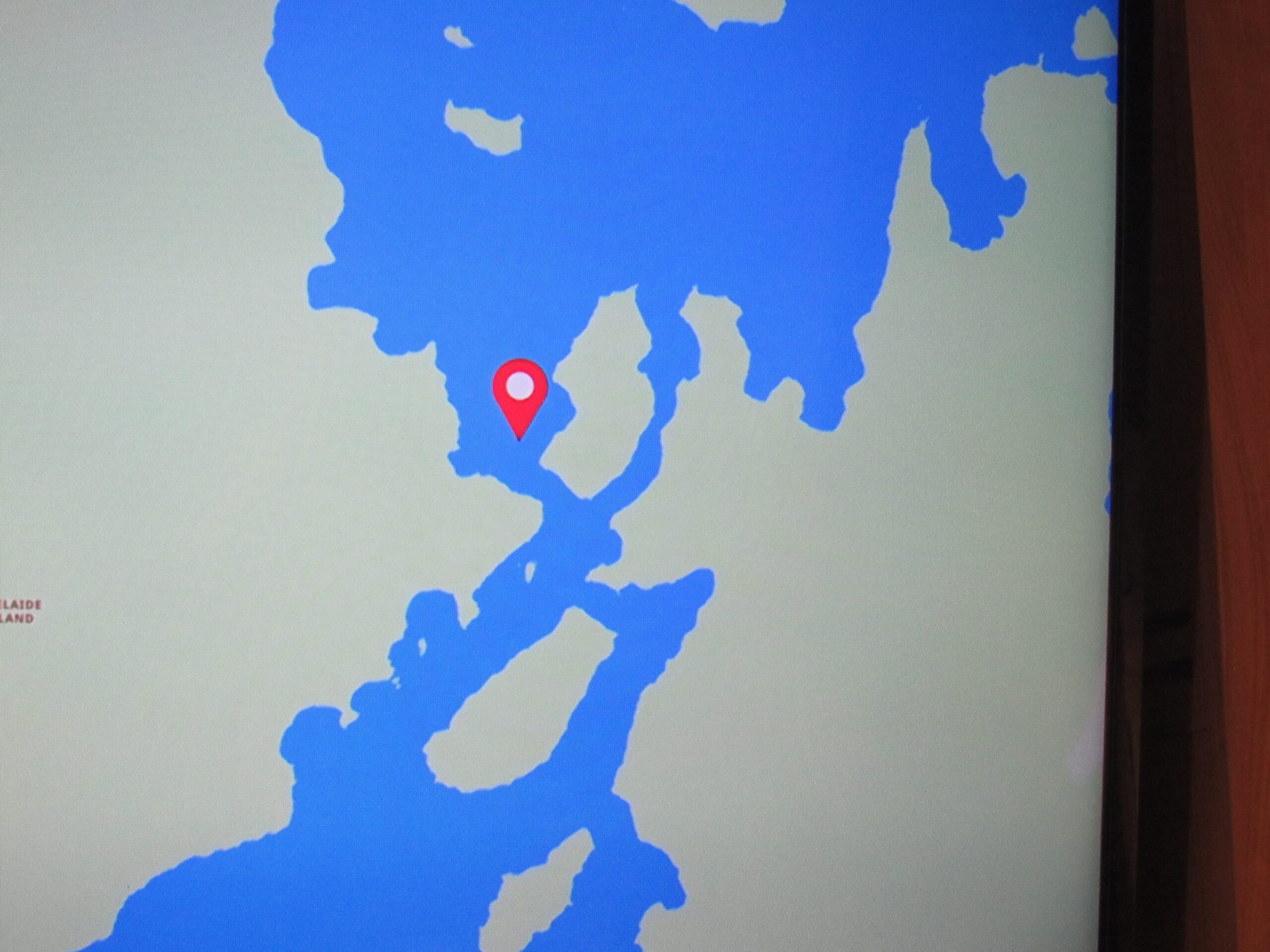
This shows our position at 1:07 AM, when we had already cleared The Gullet.
All seemed well – we had cleared The Gullet successfully and were continuing north to our next destination. It had been a terrific day. We had stepped on to the mainland of the Antarctic continent for the first time and had been surrounded by world-class scenery all day. I don’t think any of us could have expected what happened next, and the shock we would receive in waking the next morning.
Please stay tuned for Chapter 6.