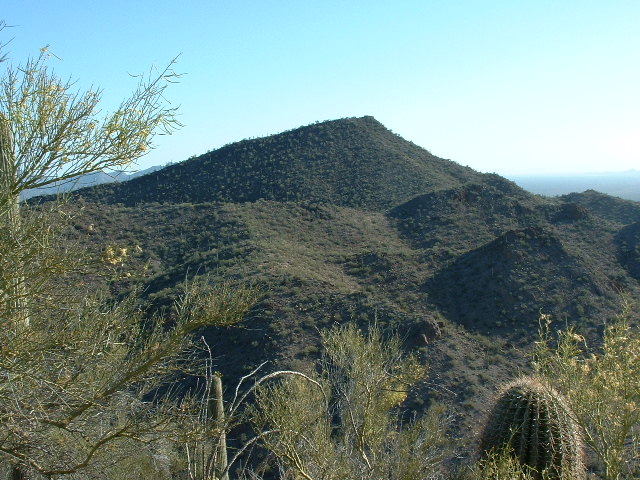
On a mid-May day years ago, I headed out at a bitterly early hour to the Tohono O’odham Indian Reservation. At that time, I went via my northern route: up I-10 towards Casa Grande, take exit 203, head west through Arizona City to enter the reservation just north of the village of Chuichu. From there, I headed south on the wide, scenic Indian Highway 15. The speed limit on this used to be 65 mph, but for some reason it has been lowered to 55. I sped down it in the dark, passing the now-seemingly-permanent Border Patrol checkpoint near the Slate Mountains. Just south of milepost 21, I turned off the highway and headed west through the wire gate and went about 7 miles. This is the road that Dave, Mark, John and Richard used in February of 1998 (during the unbelievably wet El Niño year) to access the high point of the Sheridan Mountains from the north.
The road is deteriorating, and one spot south of the Drew Spring Well is so bad I could barely make it through in 4wd. A wash has eaten its way across most of the road and you cannot get through it with all four wheels on the ground at the same time. Another few years and that will be as far west as you can go unless some serious road repairs are done. And that will never happen, as there is no reason to justify the TOIR’s spending such money, as the road ends only a few miles later beyond Montazona Pass. I parked a short distance west of the Blackjack mine, then headed northwest on foot up a major un-named wash. It was a beautiful morning, still cool and pleasant.
Walking up the wash was like taking a highway – it was wide, sandy, and there were
birds singing everywhere. After a few miles, I left the wash and went directly up the southeast slope of Peak 2948.
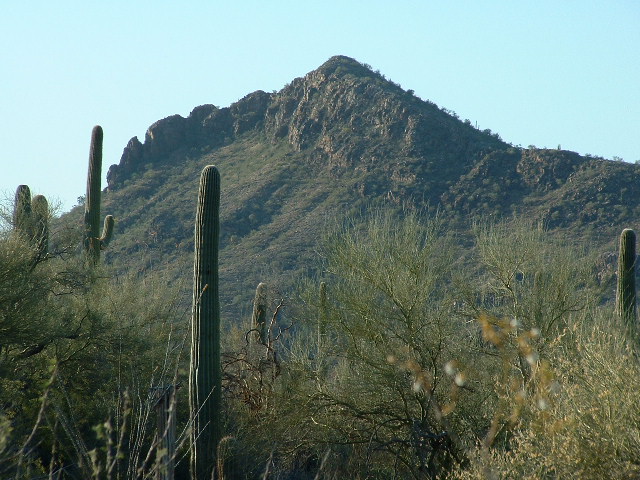
I was only a mile away from the Cimarron Mountains high point, but that was not an objective for today. I built a cairn, and took a register out of my pack. After I had filled in my information on the paper, I put it in the jar which I then stashed in the cairn. My plan was to climb three peaks before returning to my truck, so I left this first summit and then headed down its sinuous southwest ridge. Once I reached the wash at its base, it was a pretty straightforward climb up the north ridge of Peak 2970.
As before, I didn’t see any sign left by anyone who may have come before me, so I built a cairn and left the requisite register – that’s something I never tire of doing. Next, I followed the southeast ridge to drop off the peak. It seemed like a good idea to keep following the ridge, which described a large arc taking me east, then northeast to finally arrive at the top of Peak 2930.
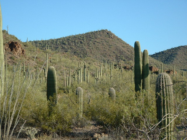
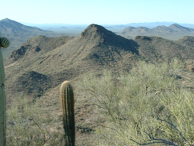
From this group of three summits in the northern part of the Cimarron Mountains, you get a great view west to all of the Castle Mountains, and can easily see all the way from the
Window Mountain area in the south to the village of Ventana in the north. Once I had spent a while admiring the view, it was time to take my leave. Carefully making my way down from the summit, I regained the big wash and enjoyed the walk back to my truck.
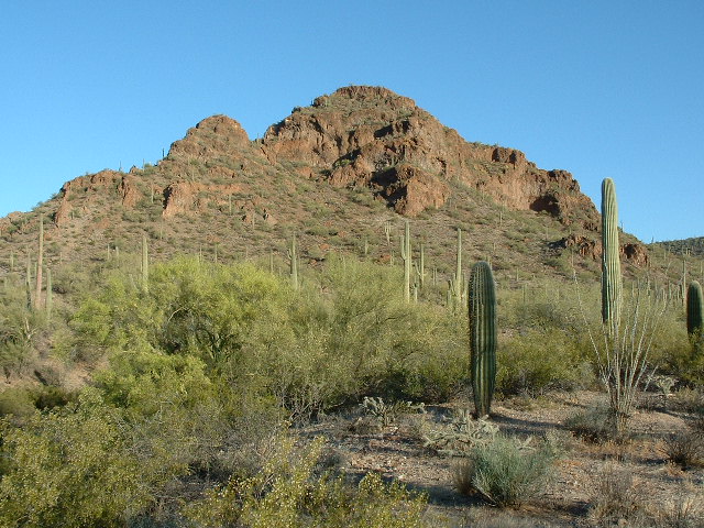
Where I was parked was also a perfect starting point for Peak 2805, the most northerly peak in the Sheridan Mountains. The day was definitely warming up, but it was a short, easy ascent through plenty of old mining activity. Those old-timers who dug the Blackjack Mine had put in adits everywhere in the vicinity. It made me think back on my days in the 1960s as a mining exploration geologist. Those guys worked so hard to chase down their dreams, against terrible odds (only one mineral showing in 1,000 is economically viable). And the majority of the mining activity on the TOIR was done back in the 1880’s, so they didn’t have many of the modern tools and techniques available to today’s prospectors and miners. I left the mandatory cairn and register, but knew full well that many an old-timer had stood on the summit before me.
Returning to my truck, I then drove east a couple of miles back the way I had come in. Finally, I turned northwest up the road to the Montazona Mine. This area had also seen a lot of activity in years gone by.
I was curious about the history of the mine. There are so many around the state, played-out and abandoned. In fact, the state mining inspector says there are over 100,000 abandoned mine sites littering the landscape. Most of them sit there in the open, un-fenced, just waiting for someone to fall in and die. It’s hard to find any information on them, but I was able to learn a little about the Blackjack.
A former small underground Cu-Pb-Ag-Au mine located in the SW ¼ sec. 19 (& NW¼ sec. 30 ?), T.11S., R.3E. (protracted) (Gu Achi 15 minute topo map), in the Cimarron Mountains, 9½ miles NW of Gu Achi. Produced 1920-1935. Owned by the Montizona Copper Co.
Mineralization is spotty, argentiferous and auriferous copper carbonates, sulfides, oxides and silicates in brecciated quartz-fissure veins along a fault zone in Laramide granodiorite. Numerous aplite, trachyte and andesite dikes. High grade oxidized Cu ore.
Workings include shafts, tunnels and diamond drilling operations. Developed in the late 1920’s and mid-1930’s, but only shipped some 15 tons of high-grade, oxidized copper ore averaging about 67% Cu, 8 oz. Ag/T, 7% Pb and 0.1 oz. Au/T. The main minerals present were chalcocite, chrysocolla, chalcopyrite, cuprite, galena and tenorite.
It was getting really hot by then, as it was nearly noon. I headed part way up the mountain on a very old road which ended at some prospects, then up through cholla-infested slopes to the summit of Peak 2784. Register placed, I headed down the steep western slopes to my truck. By noon or 1:00 pm, the heat is becoming challenging. I was lucky to get five peaks done before I had to call it a day. Turning on the air conditioning, I cranked the fan up to maximum. It’s amazing how, no matter how hot you’ve become while out climbing, that blast of cold air makes you feel almost human again. I knew I wouldn’t need to return to this area, but it had been a really great day – the scenery was terrific.
It’s been a decade since I visited the Cimarron Mountains. I’ll bet that bad spot on the road near Drew Spring Well is now impassable, and that not a single climber has set foot in the area since I was last there. Just solitude going on there, nothing else.
Please check out our Facebook page at https://www.facebook.com/pages/Desert-Mountaineer/192730747542690

