Sometimes an opportunity comes along that is just too good to pass up, and of course you have to take it. But you might have to do a lot of work to help create that opportunity, and that’s what I’m going to share with you here. We need to travel back in time to March of 1987 to begin this tale. I had been climbing quite a bit with Bob Martin, one of the most prolific peakbaggers of all time, and we started to wonder about how we could go about getting access to some really out-of-the-way peaks. Now Bob wasn’t one to stealth a climb – it had to all be above-board and legit, or not at all. The peaks we had in mind were the high points of the Granite Mountains, the Aguila Mountains and the Crater Range. Folks, I’ve gotta tell ya, if you haven’t been peakbagging in the remotest parts of the Sonoran Desert, those range names might not mean much to you, but to those in the know, they are way out there, about as far out and inaccessible as you can get. They sit squarely in the heart of the Barry M. Goldwater bombing range, very far away from anything.
I was living in Phoenix, Arizona at the time, and Bob wintered in Tucson. We started digging into the matter of how we could get access to this very restricted area, and learned that the area in question was administered out of Luke Air Force Base in Phoenix. Since I lived up there, it made sense that I should be the one to approach them, and so I did. I ended up phoning the Base Liaison Officer, a young Lieutenant whose name I cannot reveal (you’ll see why later in the story). She told me to come out to the base and meet her in person and tell her what I wanted to do. That I did, explaining to her where we would like to go and what exactly it was we hoped to accomplish out there. She told me that she would talk to her superiors and see what, if anything, could be done. I thanked her and headed home.
Much to my surprise, I heard back from her within a few days – she said to come back out to the base and meet with her again. When I did, she took me to a room where she had a huge map of that area of the bombing range lying on a table – it must have been eight feet long by maybe five across. She said we had been granted permission to go to climb our peaks and the map was ours to keep – they had printed it just for us! She then invited me to accompany her to the Officers’ Mess where we had lunch on the taxpayer’s dime. As we ate, she told me that nobody had ever made such a request of them before, and as we seemed harmless enough, they were happy to comply. She informed me that we were allowed to drive pretty much anywhere there was an existing road, no matter how faint, as long as we stayed out of areas that were clearly posted as being out-of-bounds due to unexploded ordnance and the like. Oh yes, I almost forgot – we had to complete all of our climbing on Saturday and Sunday. We didn’t even have to sign a hold-harmless agreement. She gave me the gate code for the road we’d need to take to enter the range, and wished me the best of luck. I said goodbye to this distractingly-pretty young officer and drove home, marveling at our good fortune.
The big day came. On April 11th, Bob picked me up and we drove west on the freeway to Gila Bend, then south on Arizona Highway 85. Near Milepost 33, a major military road leaves the highway near the western tip of the Batamote Mountains and heads northwest. This road lies between the Crater Range on the north and Childs Mountain to the south. After 3 miles in a straight line, it turned west and headed out into the Childs Valley. We were so damned excited we were almost buzzing as we drove along in Bob’s Jeep Cherokee. The miles rolled on by – we passed the northernmost tip of Childs Mountain, then came parallel to Daniels Arroyo, passed north of Paisano Benchmark, ending up at the base of Red Point. We should’ve climbed it, as it would’ve been legit and we might never be there again, but we didn’t, as we needed to cover a lot of ground yet. To this point, we had driven an amazing 27 miles over roads that civilians hadn’t been allowed to travel before.
It was a warm day, and getting warmer by the minute. Our goal was to climb the high point of the Granite Mountains, but we still had a ways to go before we were near it. We backtracked a bit, then headed south into the Growler Valley along tired old roads – this took us to the corral at Tony Tank. There was no water there, so I pity the fool who had crossed the desert hoping to find some. A significant thing about Tony Tank is that Daniels Arroyo meets the Growler Wash there. Nearly all our desert watercourses are named washes, so to see one called an arroyo is very unusual. I wonder who Daniels was – maybe a rancher who ran cattle here before the bombing range and the wildlife refuge were established. Daniels Arroyo begins in the far southernmost reaches of the Growler Mountains and runs for a full 45 miles before merging with the Growler Wash. I’ve had the good fortune of following it over much of its length. Few people know anything about the arroyo, so it’s an un-traveled desert gem.
Ten miles after leaving Red Point, we parked near BM 706 by the Growler Wash. We had seen a lesser track heading southwest towards our mountain, but Bob didn’t want to drive it. I argued that the Air Force had given us permission to drive on any existing track, and if we used what was already there it would make our day a whole lot easier. Nope, Bob wasn’t buying it, so what we ended up doing was walking the old track all the way over to the eastern base of the range, over four miles one way. It was hot, and I wish we would’ve driven it – we could’ve saved over 8 miles of walking. Oh well, the 1,700-foot climb went well. The climbing was the thing, and the canyon we chose to ascend was amazing, making it all worthwhile. We weren’t the first ones to summit this peak, but may have been the first to ever climb up this canyon on the east-northeast side. I can’t remember if there was already a register on top, or if we left one of our own, but either way we left our names on the summit of Granite Benchmark, elevation 2,480 feet. By the time we made it back to the truck, we were tuckered out. That seemed as good a spot as any to call it a day, so we camped there near the wash. It felt good to be waaaay out there, so far away from anyone, enjoying the desert solitude.
After a good night’s sleep, we got an early start. This was the second and last day that we were allowed to be out there, so we had to make the best of it. Next on our agenda was the high point of the Aguila Mountains. To get there seemed straightforward enough – what we needed to do was head back north the 10 miles to Red Point, which we did, then continue north from there. Many of these old roads out in the desert had a series of benchmarks along their path, and ours was no exception. By the time we passed BM 703, 705 and 713, we were right beside another unclimbed mountain, Peak 1214. God, how we wanted to climb it, but there was no time – we had a lot to do and a lot of uncertainty ahead of us. When we reached BM 720, our route took us along a mile-long playa, a large, flat area where a temporary lake forms after heavy rains.
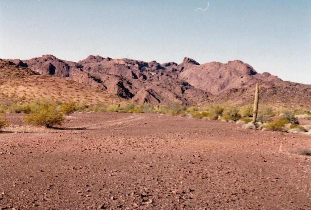
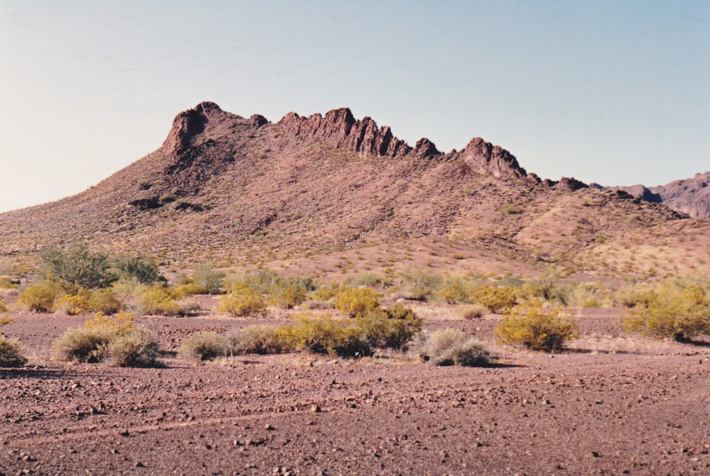
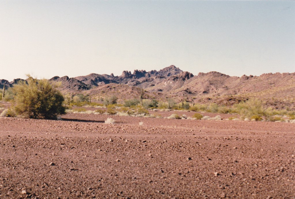
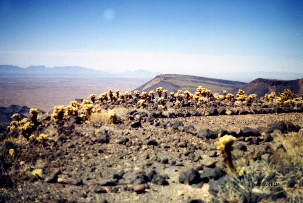
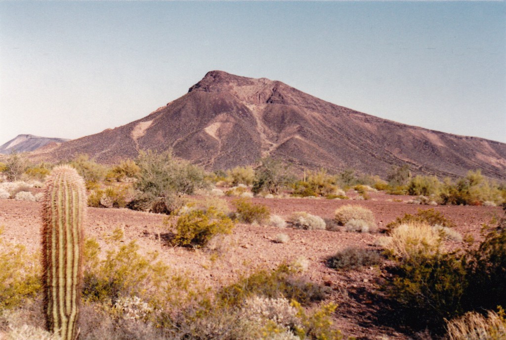
Then things went all to hell. The road we were on became faint and hard to follow, so much so that I had to get out and walk ahead to scout it out. There were times that I’d walk as much as a quarter of a mile to pick it up again, then walk back to Bob and we’d drive on. North of the playa, we needed to veer northwest to reach our goal. There was a faint road, but we could tell it hadn’t been driven for a long time – the desert was reclaiming it. There was a lot of sand in the area, and the wind had blown it in the tracks of the old road, making it really hard to follow. Fooling around trying to find the road ate up a lot of time. Eventually, the ground became firmer, we picked up the road again and moved on more quickly. It was a relief to finally reach a flat, open area and park at the base of our mountain, about 6 miles from the playa. What a relief to have finally arrived – we felt we had earned a chance at this one. Here are some of the tantalizing views we had from our parking spot. The next four photos were taken by me in 1987.
I love this next one. Zoom way in to see the group of pinnacles in the middle of the photo – I sure would like to be in there poking around..
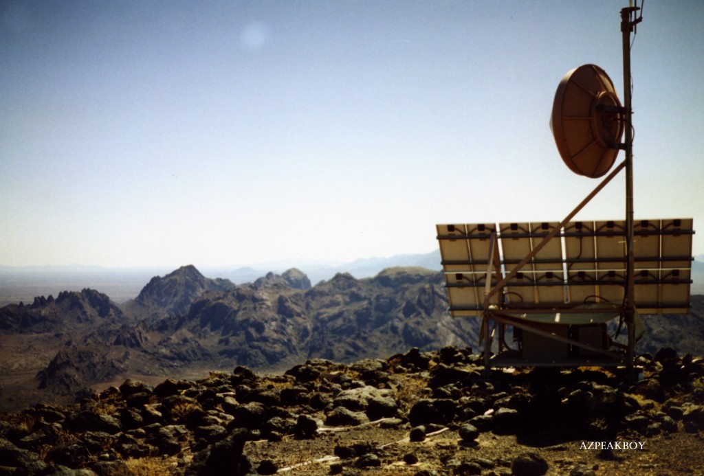
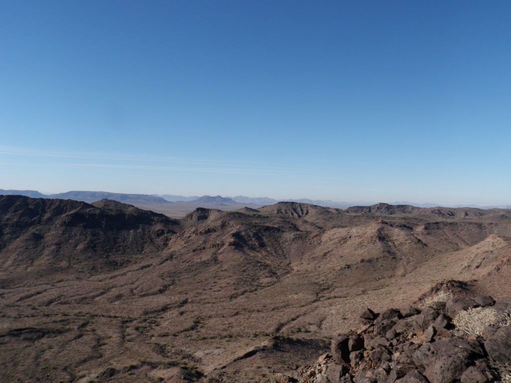
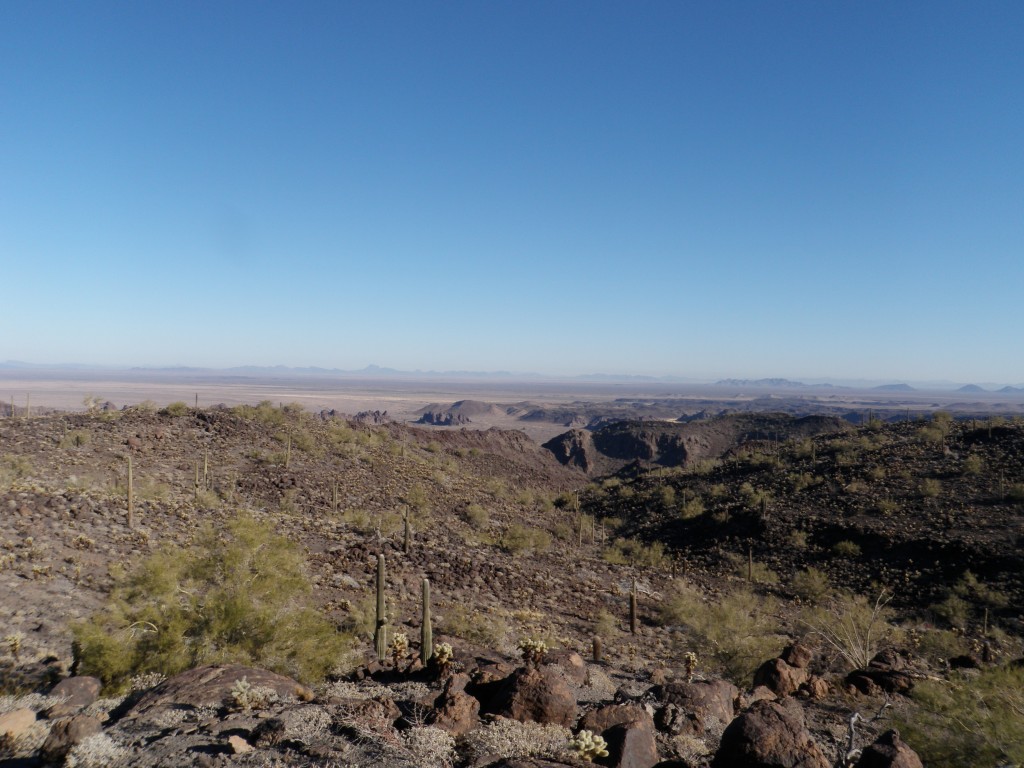
From our parking spot, it was a straightforward thousand-foot scramble up the steep talus slope to arrive on the summit of Eagle Benchmark. elevation 1,800 feet. It was magical, being out here in the middle of nowhere. Yes, early surveyors had been here, but we were the first climbers. It felt good to leave a register and begin the historical record, and we were pretty darn pleased with ourselves. Here are a few more photos taken by my friend AZPeakboy at a later date.
It would have been great to just hang out, but there was one more big challenge left for the day, so down we went. As I write this, almost 30 years later, I’ve often thought back to these Aguila Mountains and how I’d like to visit them again. The range has 13 peaks and only one, the high point, has ever been climbed.
It was a simple enough matter to follow our tire tracks back out the way we’d come, and by mid-day we’d made it all the way back out to the main east-west road in Childs Valley. One more to go. We drove east until we were more or less south of the Crater Range high point, and by then I was pleading with Bob to please drive north on one of the faint roads to get us closer. He wasn’t buying it – he found a good spot to pull over and parked.
It was a very warm afternoon as we headed north across the desert, and I was not a happy camper. We walked and walked, and walked some more, eventually entering a valley near the peak. Naturally, an old road ended a mere mile and a half from our goal – we could have driven all the way there. Anyway, the last part of the climb was up a very cool valley hemmed in on all sides by steep slopes. It had only been a gain of 800 vertical feet to reach the top of Peak 1838, the high point of the Crater Range, but we were already feeling tired. There was no sign of any previous visit, so at least we had the satisfaction of building a cairn and leaving a register. None of my photos survive, but here are two kindly supplied by my friend Rockinstraw.
We soon started back down and out the way we’d come in. The walk back out seemed endless, and my memory of it is an unhappy one. Our round-trip was 15 miles on foot, and it could have been only 3. To this day, I remember being really annoyed by Bob’s refusal to drive roads we’d been given permission to drive and that the military was using. It was one toasty afternoon, and we were both pretty shagged out by the time we reached our ride.
It didn’t take us long to drive back out to the highway and exit the bombing range, and a few hours later, we were back home. Thinking back on our weekend, it was pretty amazing that we had been allowed to drive where no civilian had driven before, and surely has not driven since. A few hardy souls have climbed the Aguila and Crater high points since our visit, but precious few.
Oh yes, I almost forgot – I was going to tell you something more about the young lieutenant who’d arranged our visit. A couple of years later, I had moved to Tucson, and one day I got a call from a photojournalist friend. He had been invited to cover the 50th anniversary of the Cabeza Prieta National Wildlife Refuge, more specifically a ceremony planned to celebrate it. This was to be held at Tule Well, deep inside the refuge, and the celebrants were to be flown in by helicopter. My friend said he’d been allowed to choose one person to ride in on the chopper with him, as there was room, and invited me to go along. I had other plans to climb that weekend, so politely declined. Maybe I should’ve taken him up on his offer. He said there was a lot of drinking at the celebration, and the same young female lieutenant I’d met years before at Luke Air Force Base was there and was three sheets to the wind – so much so that she climbed up on to a picnic table and did a strip-tease, much to the enjoyment of the other attendees. A sight not to have been missed (his words) – maybe I should’ve gone after all!!
Please visit our Facebook page at: https://www.facebook.com/pages/Desert-Mountaineer/192730747542690

