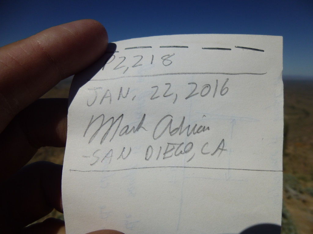
The peak was well-defended, girdled with cliffs, but it hadn’t reckoned with the stick-to-it-iveness of a peakbagger like Mark. Of course, he won out in the end and made the summit by finding a way up through the steep cliffs on the northeast side, in spite of the fact that he’d been impaled in the shoulder by several cholla cacti. So here I was, doing the same trio of peaks he’d done a month earlier, but in the reverse order.
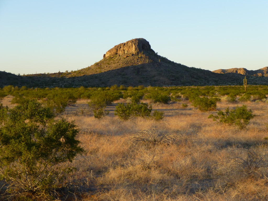
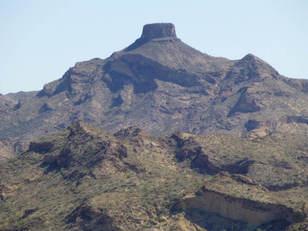
I’d camped out the night before on the flat desert about 4 miles from Thanksgiving Day Tank. The evening light was perfect, and I took this photo of a nearby butte.
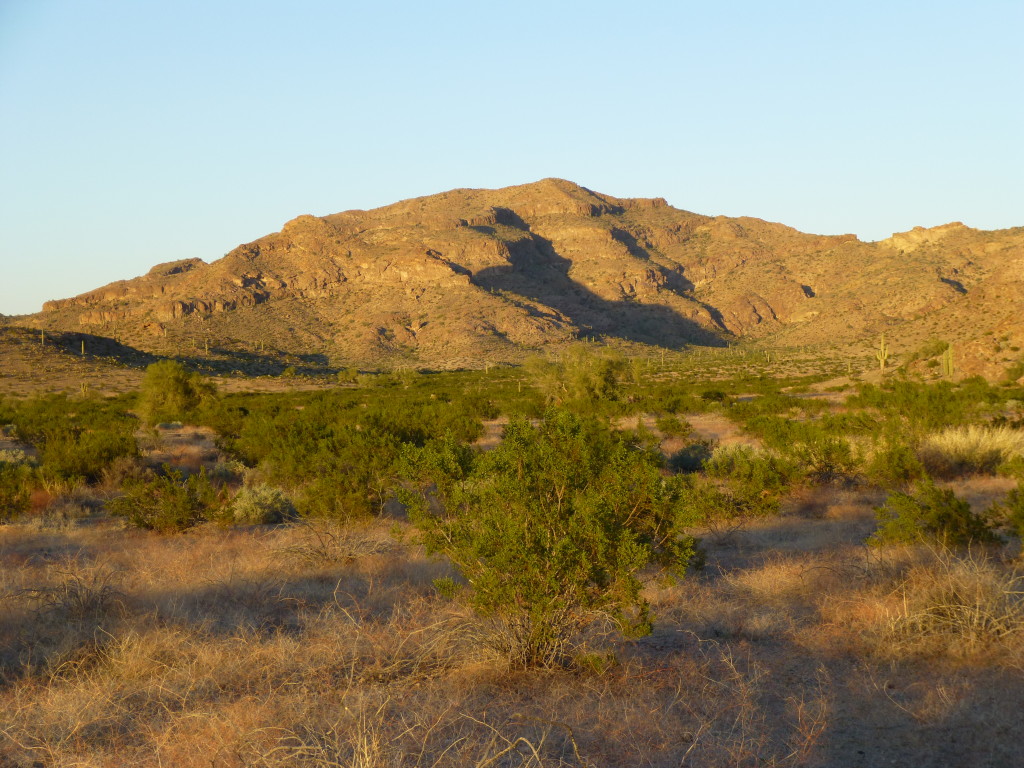
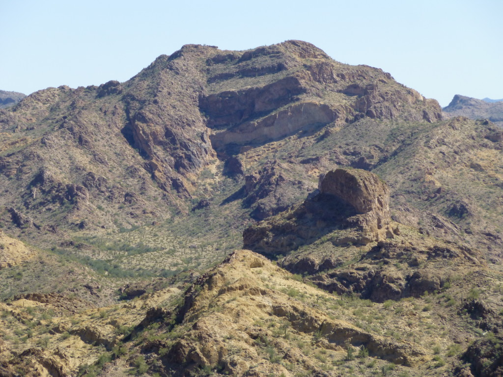
I also had this view of the first peak I’d try to climb tomorrow, Cap Benchmark. This is a telephoto – it’s actually farther away than it looks.
After a good night’s sleep, I arose well before dawn and got ready. It was late February, and I knew the day would be clear, warm and, well, in a word – perfect. I love the early morning light in the desert, it’s my favorite time to be moving. As I headed northeast up a wide valley, all my attention was focused on the south side of my peak. Hmmm, there were a lot more cliffs than I’d hoped – was that a way up through them, over there to the right? It turned out that I sashayed my way up, from one side to another, but was forced farther and farther over to the east. The cliffs had gotten the better of me, and the only way I could find was to make my way to an 1,800-foot saddle about a third of a mile southeast of the summit.
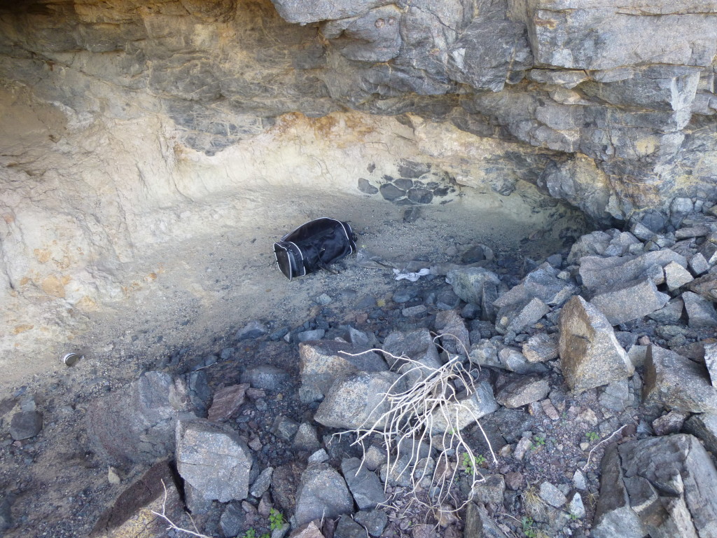
There, I found a sizable cave which contained gear such as sleeping bags and blankets left by Bad Guys for the use of those who’d follow. I gathered all of it I could and tossed it over the cliff, out of reach of future would-be users.
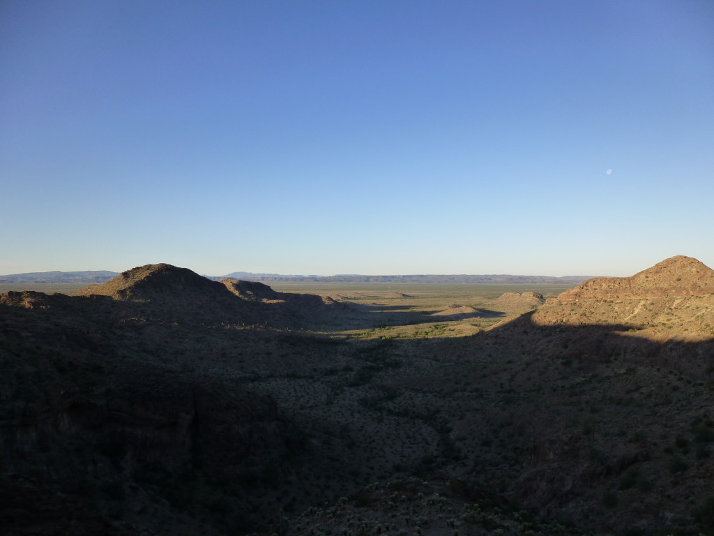
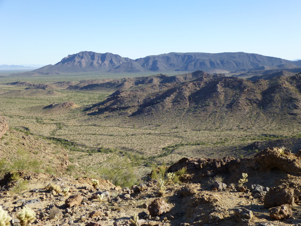
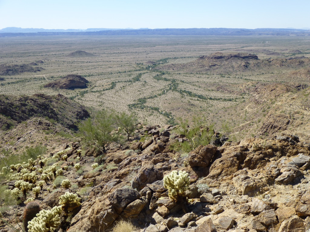
From the cave, I had this great view back down the valley up which I’d come. I’m parked somewhere out past the last little bump.
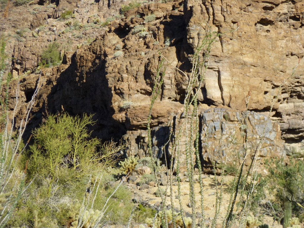
At the saddle, the first thing that greeted me was this cliff. It was blocking my way to the ridge which led to my summit. The cave is in the dark shadow on the left.
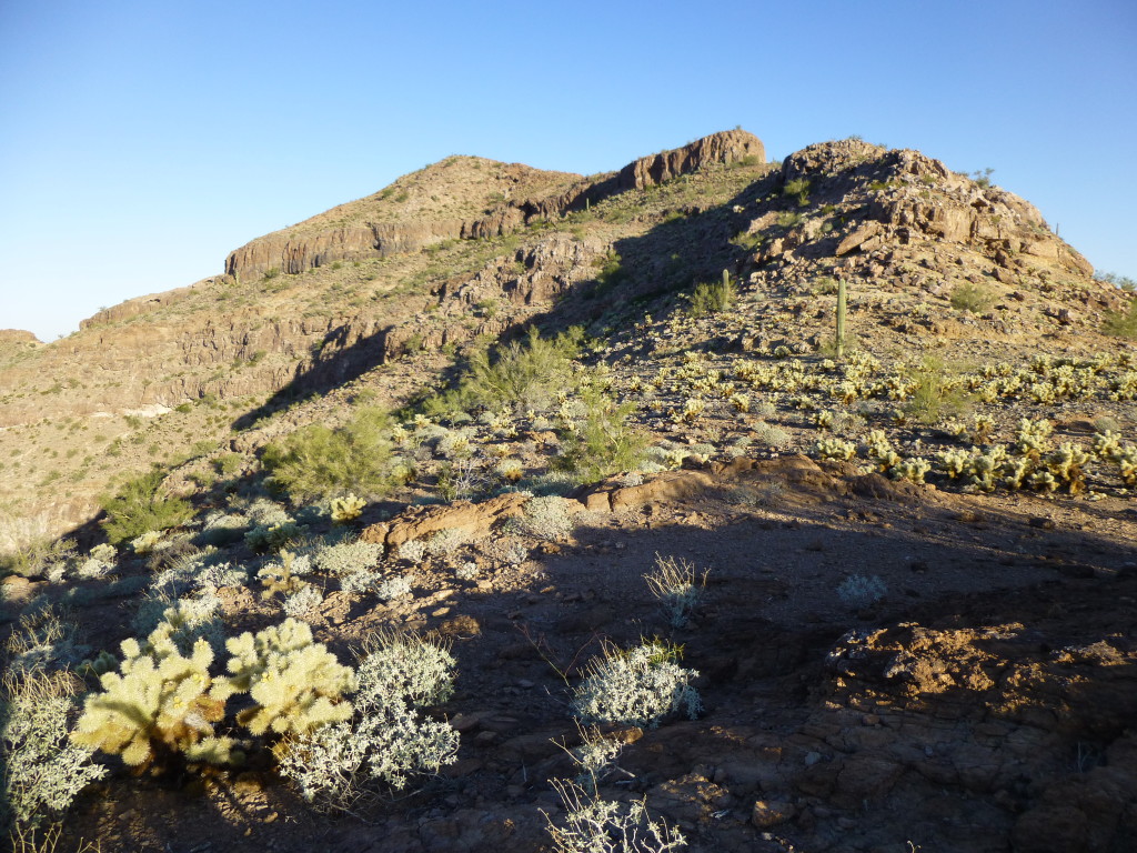
Man, this peak was playing games with me. I quickly decided that, rather than spending a whole lot of time trying to outflank it, I might as well go straight up it. Well, I’m telling you this story, so it must have turned out okay. It was a solid Class 4 on good rock. Once on top of it, I saw that the cliff band wrapped around on both sides for some distance, so I was glad I did what I did. Here was the view that greeted me once past the cliff.
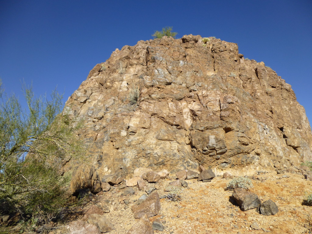
You can see three bumps up ahead. The first, on the right, was an easy stroll. The second, higher up and to the left, was another cliff, and I didn’t like the looks of it. The third bump, farthest left, was the summit. When I arrived at the next cliff, it was pretty steep and gave me pause. However, at this point I was too committed to do much else, so I hit it with a full frontal assault – it also went at a solid Class 4.
It was a pleasant stroll to the summit from there. The register was easy to find, and contained several names. The first ascenders (Richard Carey, Mark Adrian, and AZPeakboy) had left it there back in 2001. A decade later, a man from the closest town (Ajo, Arizona) had arrived. The next visit occurred a year after that, when two guys from Montana had made their way up. Mark, one month before me, had made his second visit. So that made me the 8th person to make the climb. One of the great things about desert peaks is that there’s nothing on the summit to obstruct your view, and this was no exception.
By the time I’d signed in, left the top and climbed back down those two cliffs, it was just after nine o’clock in the morning. When I stood once again in the saddle, it’d been 2 1/2 hours since I’d left the truck. If I’d known about some of the obstacles ahead, I mightn’t’ve been so blasé about my progress. I wanted to climb 3 peaks today, and staying up high along ridges, come what may, seemed like a fun way to do it. Hopefully I wouldn’t meet something I couldn’t handle.
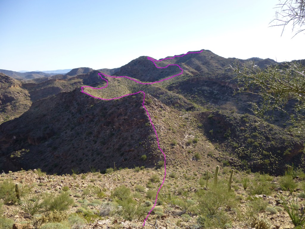
By following a gentle ridge, I came to a bump labelled 1948 on the topo map, which gave me my first good look at the route ahead. In this next picture, I’ve shown the path I would take in pink. It starts from where I’m standing and moves away from the bottom center of the view. Zoom in to see it better. The high peak on the horizon was where I was headed.
A ridge route such as this can be full of surprises, the worst of which is to come up against a cliff you can’t climb up or down solo. It forces you to go around, which could be a matter of a hundred yards or a mile, possibly having to gain or lose many feet in elevation in the process.
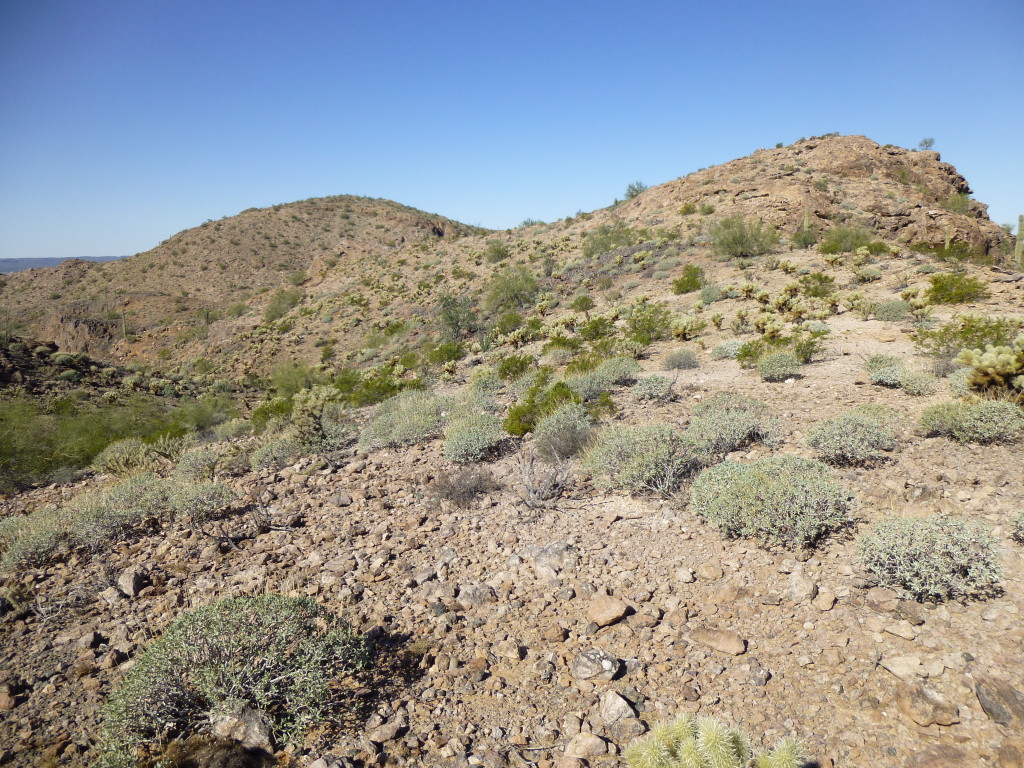
In the picture above, the first thing I had to do was drop down to the saddle directly below, which turned out to be a spot where Bad Guys had spent time resting under a shady tree. It was obvious they’d come up a valley from the south, stayed a while, then headed north down to the desert below. It’s a crying shame that such beautiful country has to be trashed by the leavings of those idiots – I hope they appreciated the spectacular nature of the places they were seeing. Luckily for me, most of the ridge I traveled was gentle, as seen in the next photo.
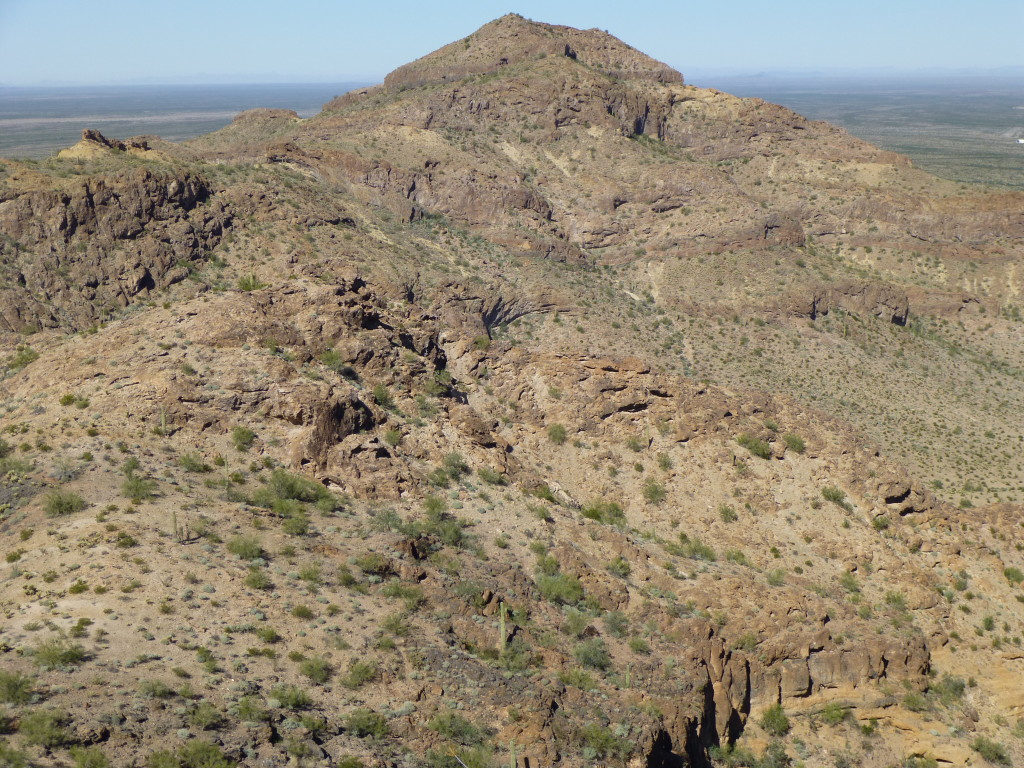
The notes I made on the field copy of my map show that I changed direction no less than 16 times along the ridge, passing over at least 6 bumps. It all made for an interesting passage, that’s for sure. Here’s a view I had looking back to Cap BM. Not much of that detail shows in the view, it all blends together. Mark had told me that somewhere along here, he’d seen a huge bighorn ram, but I wasn’t so lucky.
Finally, I was close to my peak – it felt hot as I labored up the final slopes, praying for a bit of a breeze to cool me off.
Eleven o’clock, and there I was. Mark had left a register in his cairn, quite obvious on top of Peak 2213.
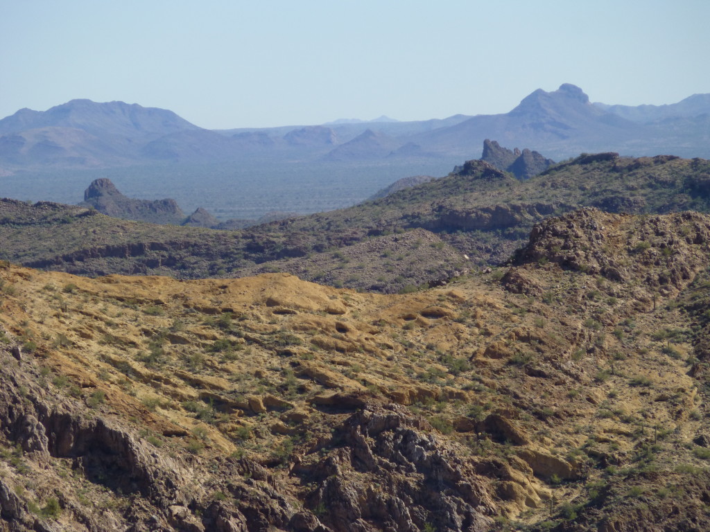
What a place! Good on ya, Mark, for having been the first to climb this great peak – it was so deep in this part of the Sauceda Mountains, rugged terrain stretched away in every direction. Here’s one of my favorite shots, a long telephoto view to the northeast.
There are 4 features I’d like to point out in this photo. On the far left side, on the distant horizon, the gently-rounded peak is Blue Plateau. Below it, the steep peak sticking up behind the ridge is Peak 1911. Way over on the right, the double bump on the horizon is Jack-in-the-Pulpit. Just below it and a bit to the left is Peak 2059. The two far peaks are in the Sand Tank Mountains; the two nearer ones are in the Sauceda Mountains. A wide stretch of flat desert sits between the two ranges.
I was a thousand feet above my truck, and it was still a long way off. First, though, before I could enjoy that cold beer, there was one more mountain to climb. I could see it across the valley, but I had to get to it. It seemed like the south ridge would get me down, so that’s the direction I headed. A band of cliffs barred my way, and I barely squeaked through in one spot.
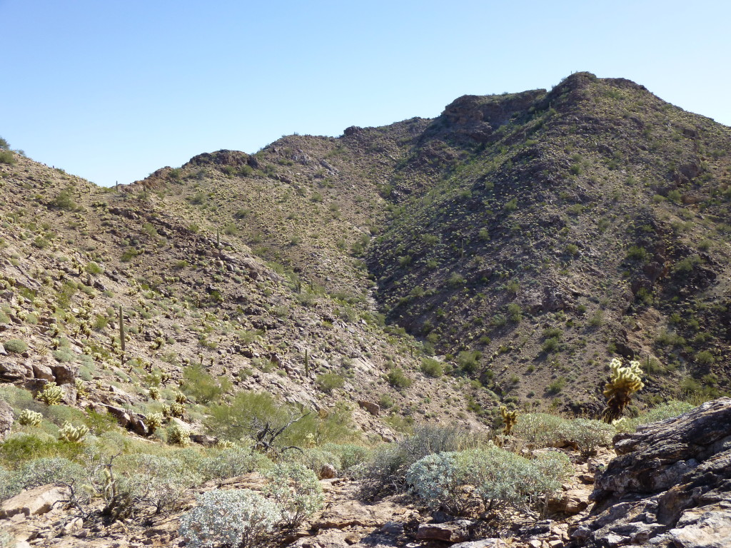
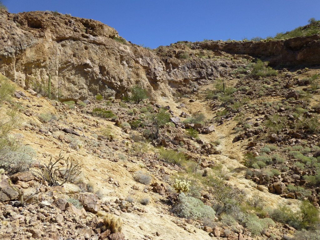
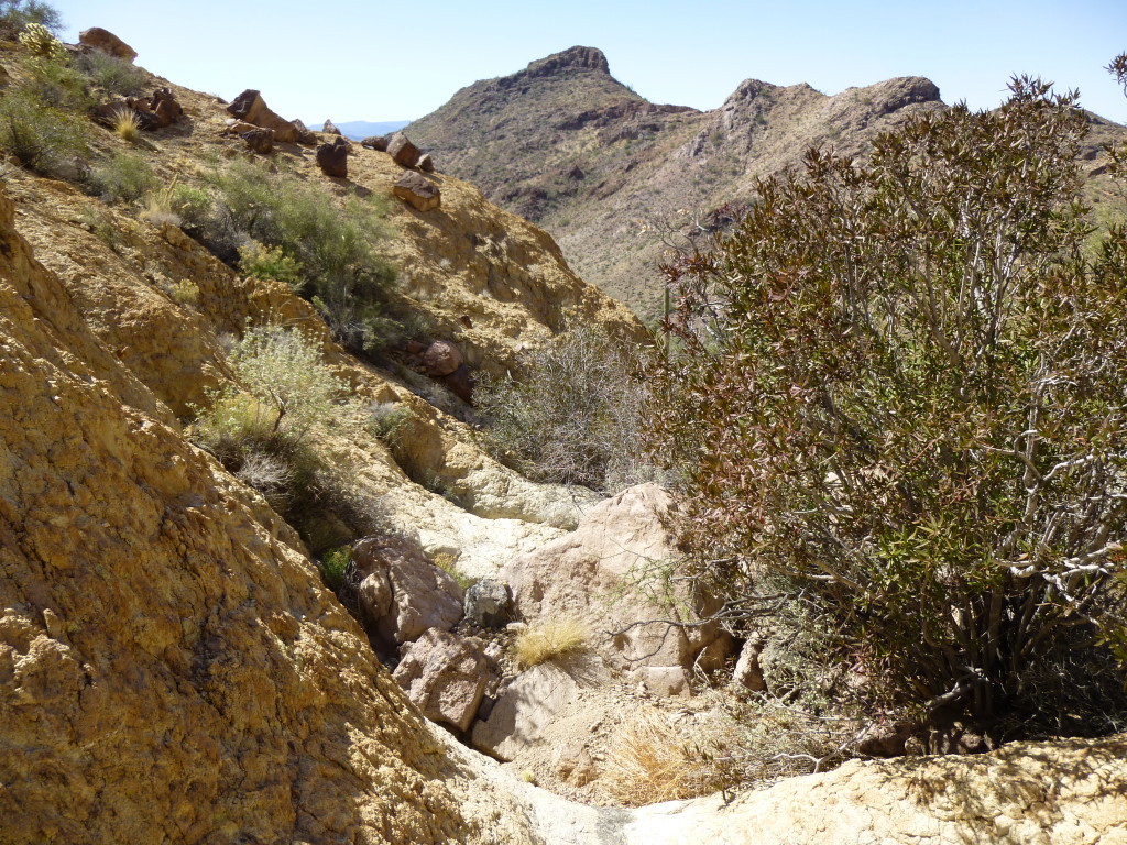
Once below the cliffs, I found myself in a tight canyon of light-colored rock, and had a good view out towards my next peak.
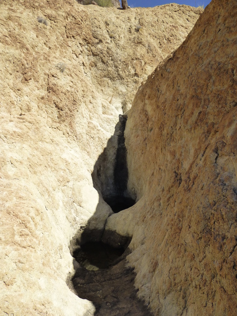
The canyon held some fair-sized tinajas, natural depressions in the rock that can hold water for quite a while after a rain.
This canyon was very cool indeed, and negotiating it was challenging fun. It disgorged me onto the lower slopes, and I soon stood on the valley floor. It was a short walk to reach the base of that last mountain, and a fairly straightforward climb up it, with only one band of cliffs to outflank. It was one o’clock when I topped out on Peak 1964, the third person to do so. More amazing views of this part of the range.
From this summit, I could plainly see my route down to the valley below. It appeared straightforward enough.
There was one more thing – seen from this vantage point, it dominated everything, kind of like the elephant in the room – it was Hat Mountain, the paterfamilias of the northern Saucedas.
Well, there’s not a lot more to tell. Once down off the peak, it was an easy walk down the valley to reach the dirt road, the one I was parked on. As I trudged along, several people on quads came driving by, heading back out to the highway. By the time I reached my truck, it was three in the afternoon. The trip had taken 8 hours plus, and my boots had racked up another 9 miles, but what a day! The Saucedas are fast becoming one of my favorite places.
Please visit our Facebook page at https://www.facebook.com/pages/Desert-Mountaineer/192730747542690

