After our successful winter climbing trip into the Cheam Range and our climbs of Stewart Peak and The Still on January 6, 1977 I had increased my tally of Cheam Range peaks to 6, as follows: Cheam Peak; Lady Peak; Knight Peak; Welch Peak; Stewart Peak; The Still. There were only 2 more to do, 3 if you include Conway Peak. I knew that Baby Munday Peak would be the hardest to do.
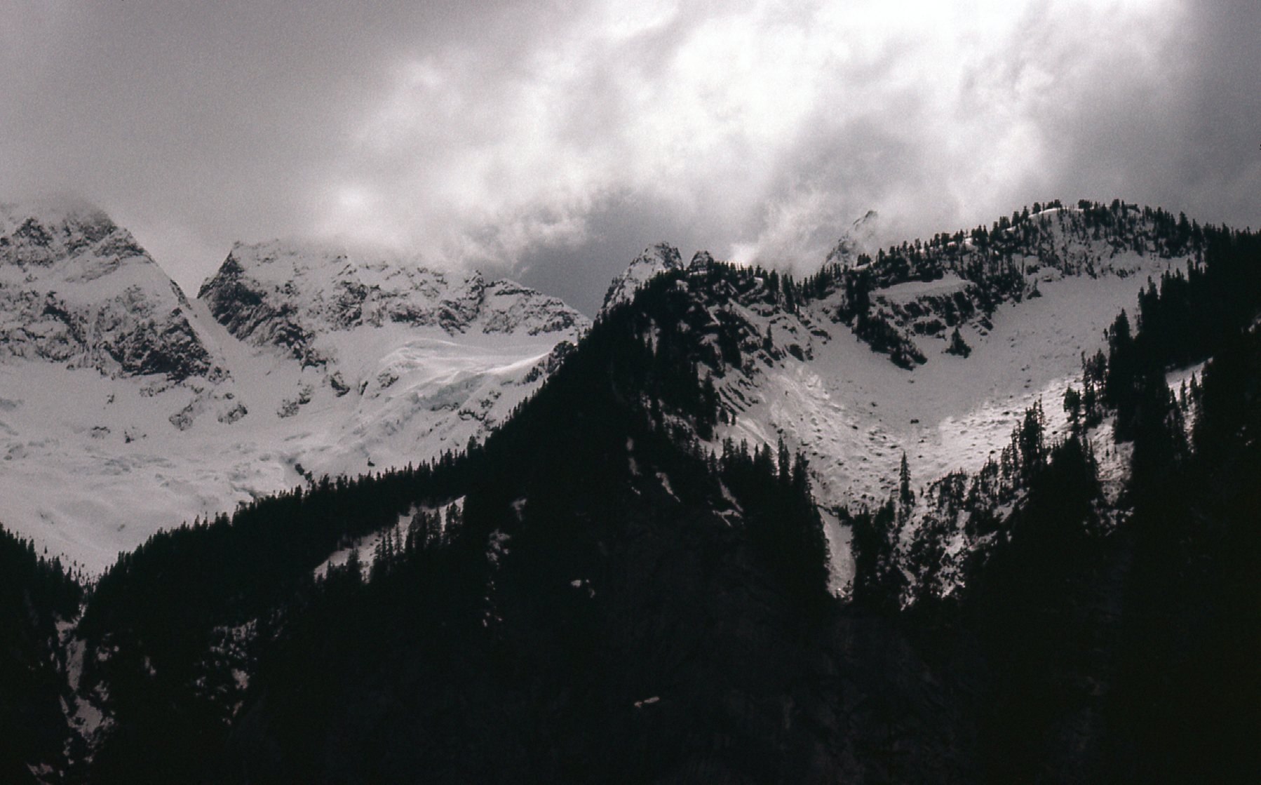
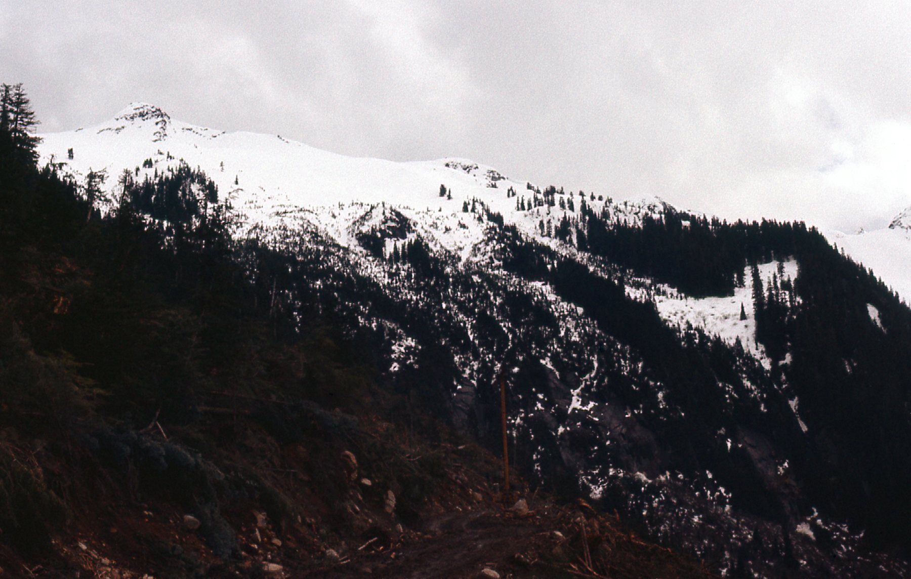
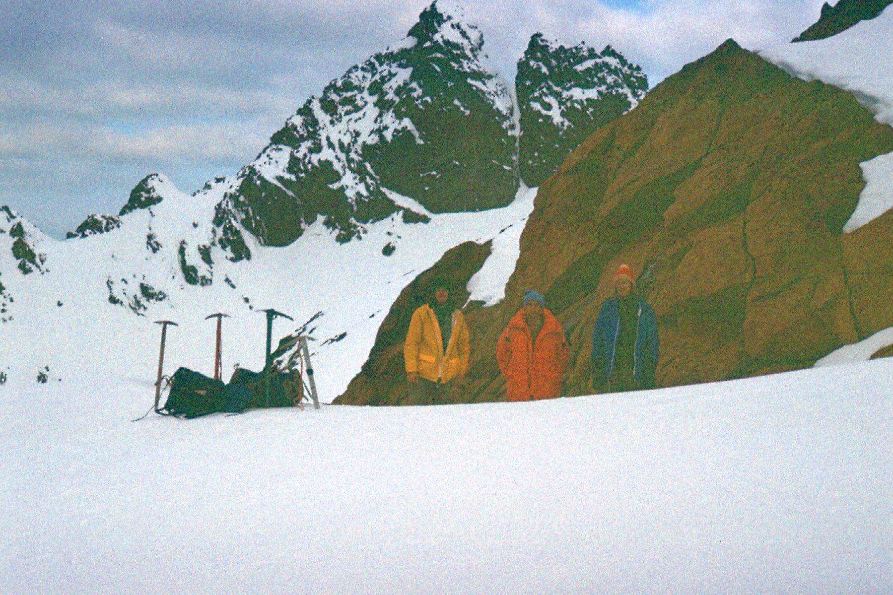
On a Sunday, the 29th of May of the same year, 1977, 3 of us left Mission very early – in fact, it was 4:30 AM. We were Jim Tivy, Cam Dolman and Yours Truly. I had never climbed with Jim before that day. Cam and I had climbed a peak together up in the headwaters of Scuzzy Creek earlier in the year on January 30th. We drove to Airplane Creek with the intention of heading up the trail. You’d think that after the climb of Stewart and The Still that I’d be quite familiar with the trail, but nope – we had problems finding its start. That cost us a bunch of time. High up on the mountain, clouds reduced our visibility enough that more time was lost. Once we were on the route itself, the south ridge of Baby Munday Peak, we made it to within 50 feet of the summit before turning back. The route description says the south ridge is rated at Class 3-4 and requires a rope. Well, we had no rope and the rock was loose, and there was plenty of exposure. We chickened out, but I did get some good pictures that day, which I share with you here.
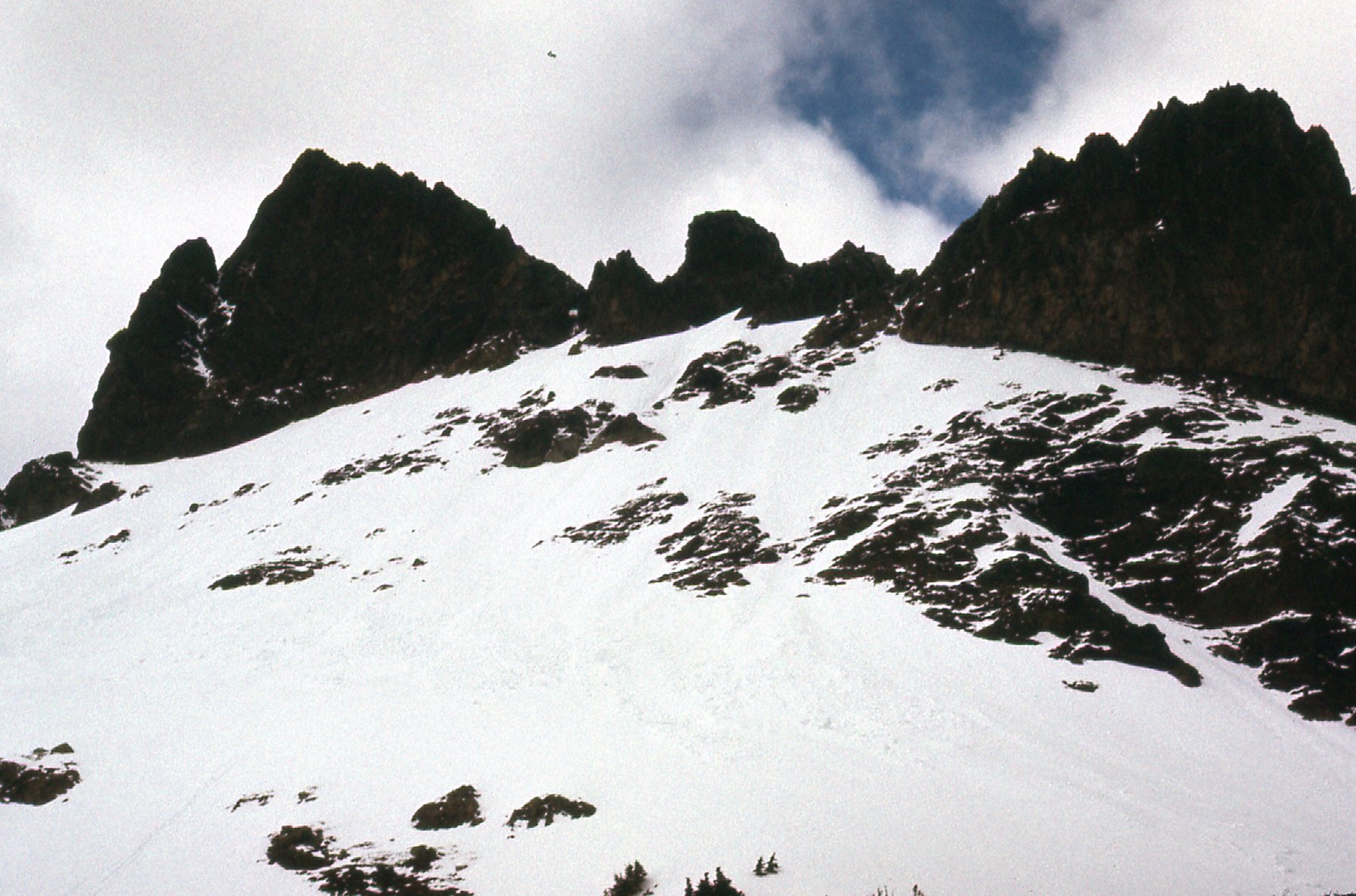
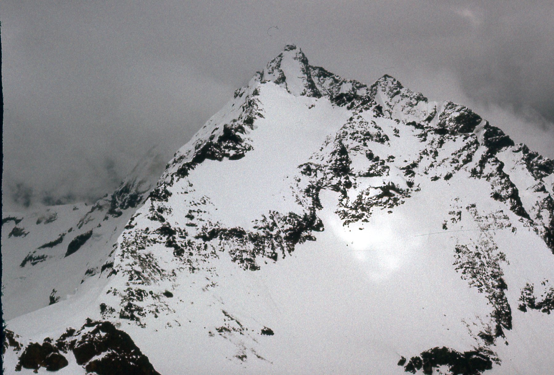
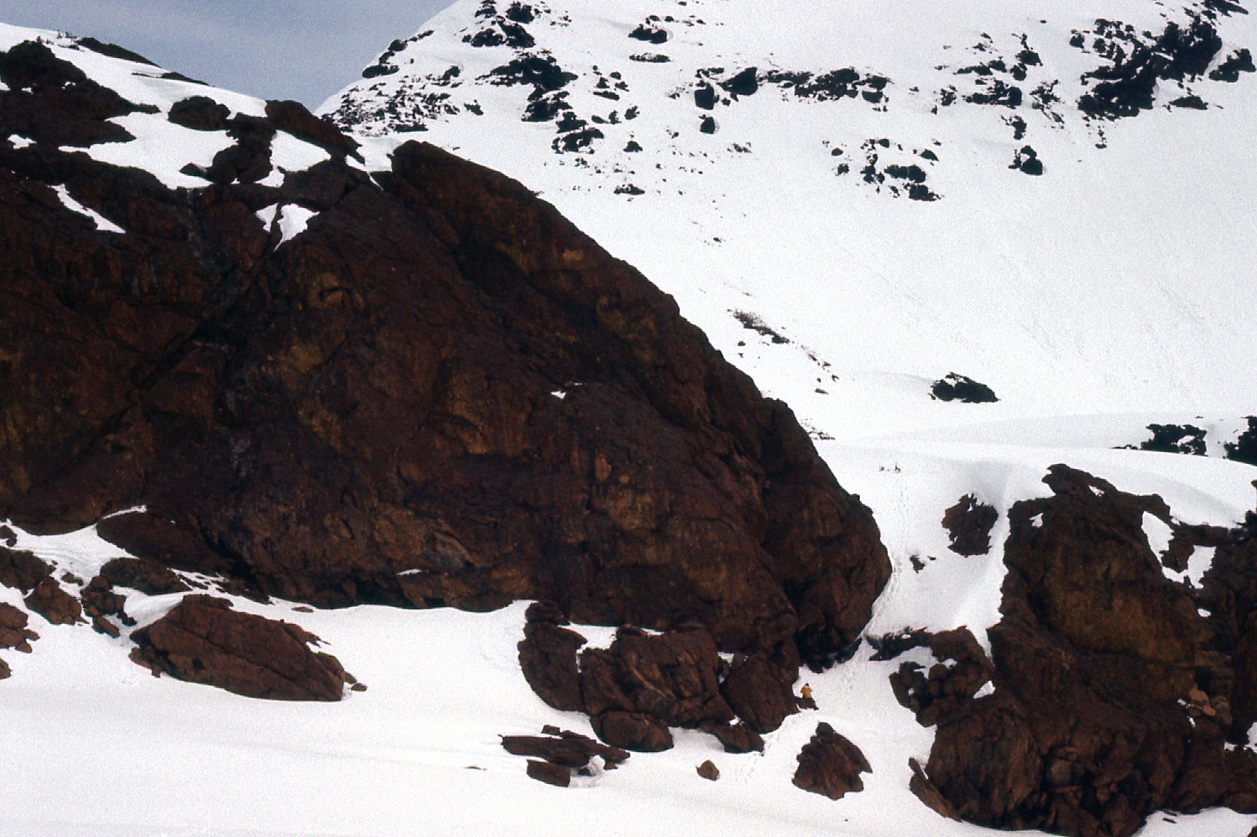
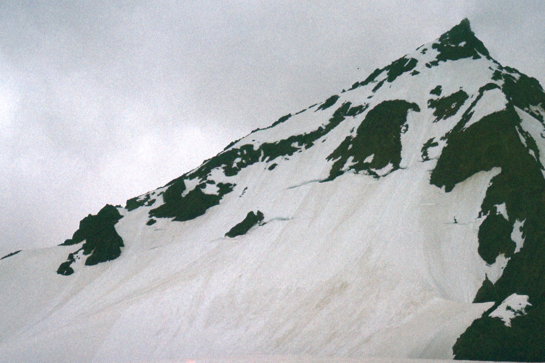
Higher up, I took this picture of the west slope of the peak.
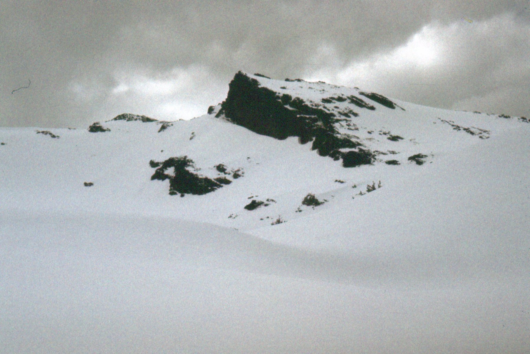
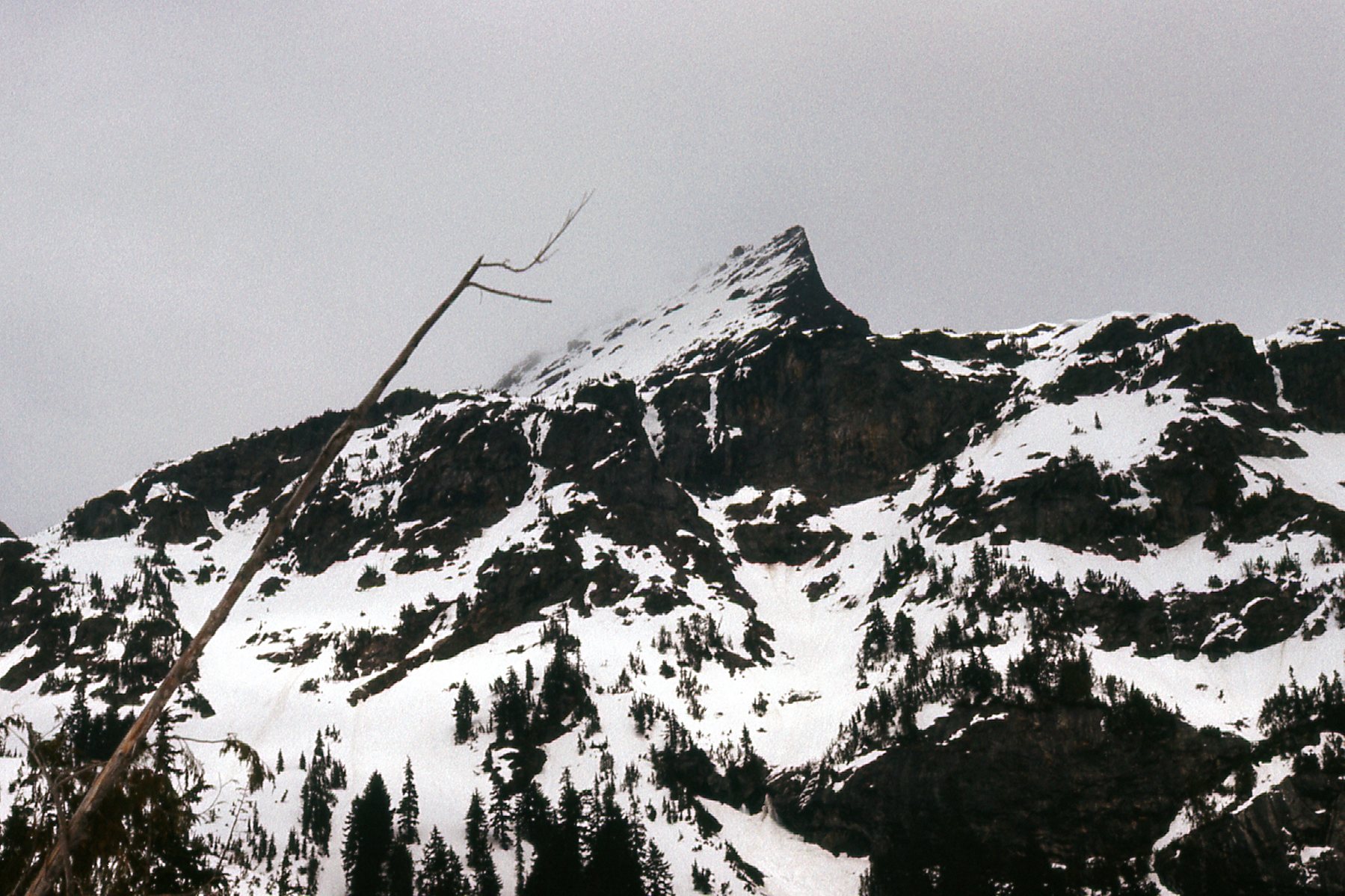
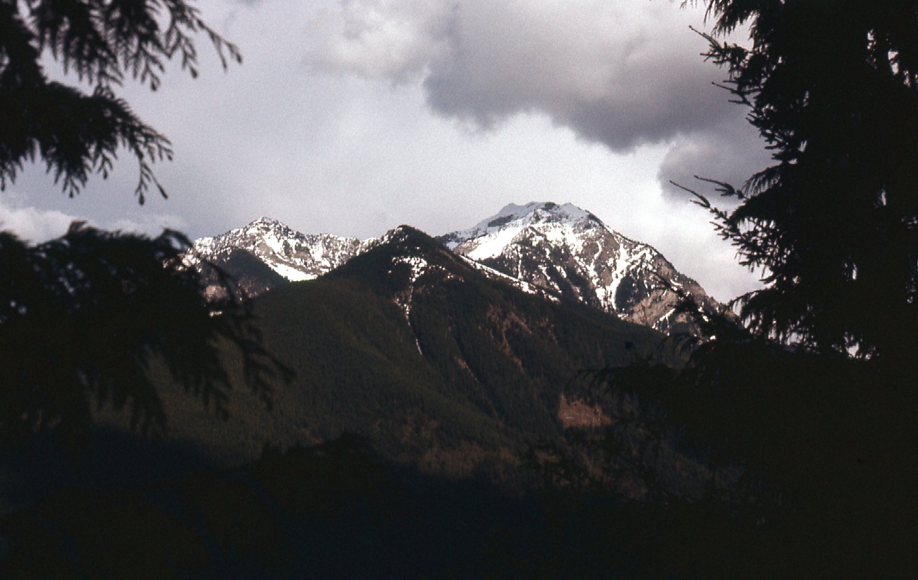
To the northwest, we could see Knight Peak.
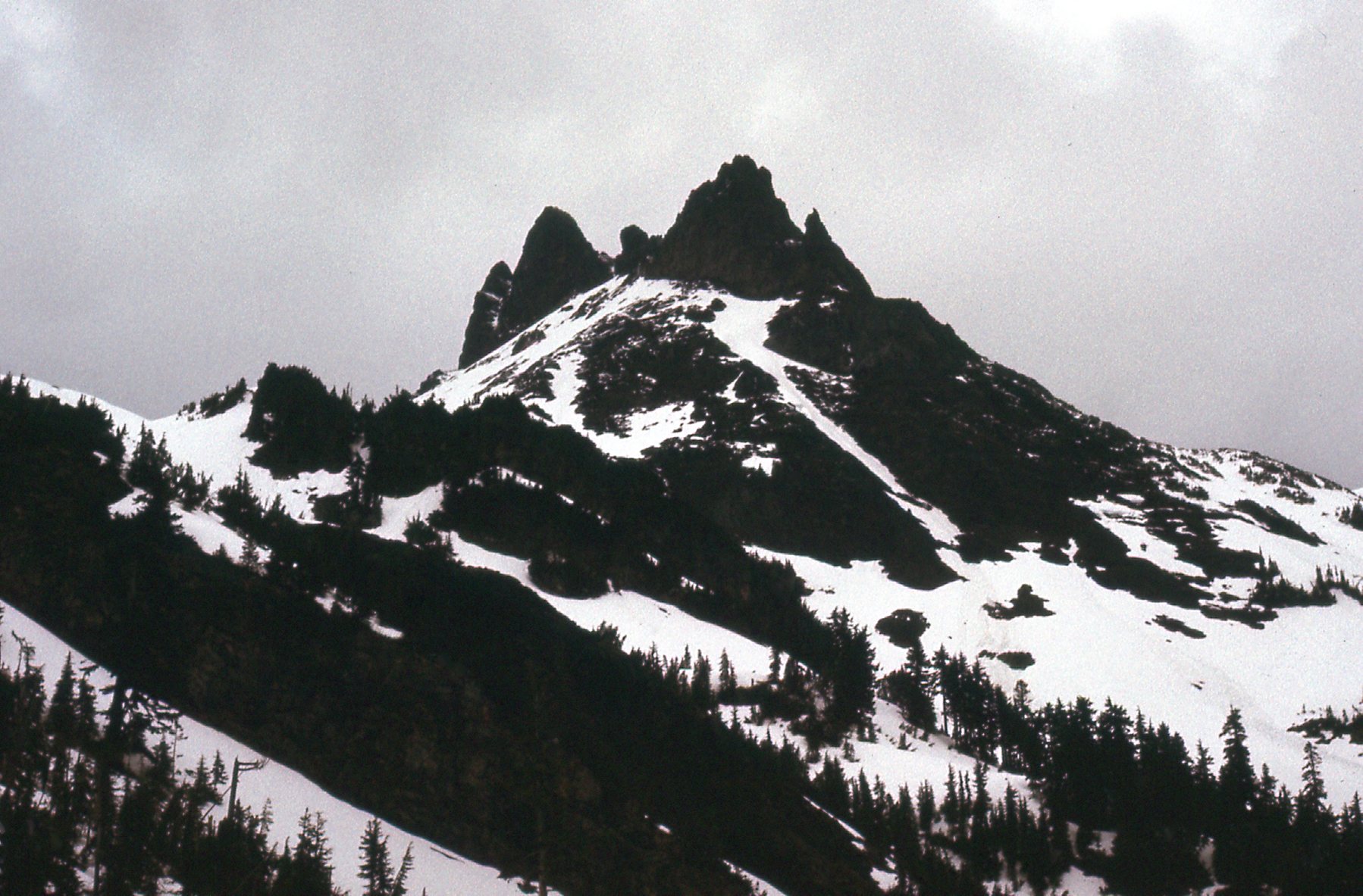
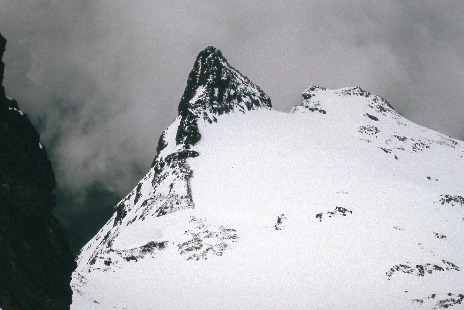
Here’s a look at Stewart Peak, showing the dramatic north side on the left.
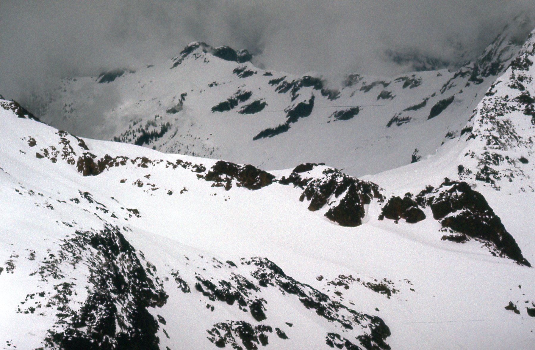
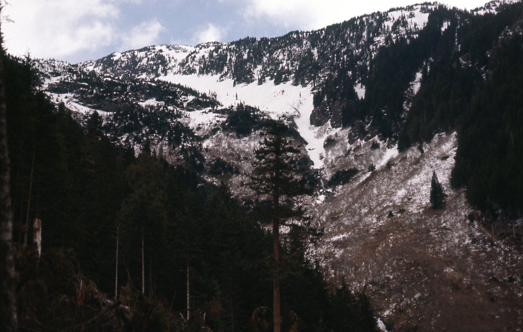
Here, we see the upper end of the valley which contains Airplane Creek, our approach lower down.
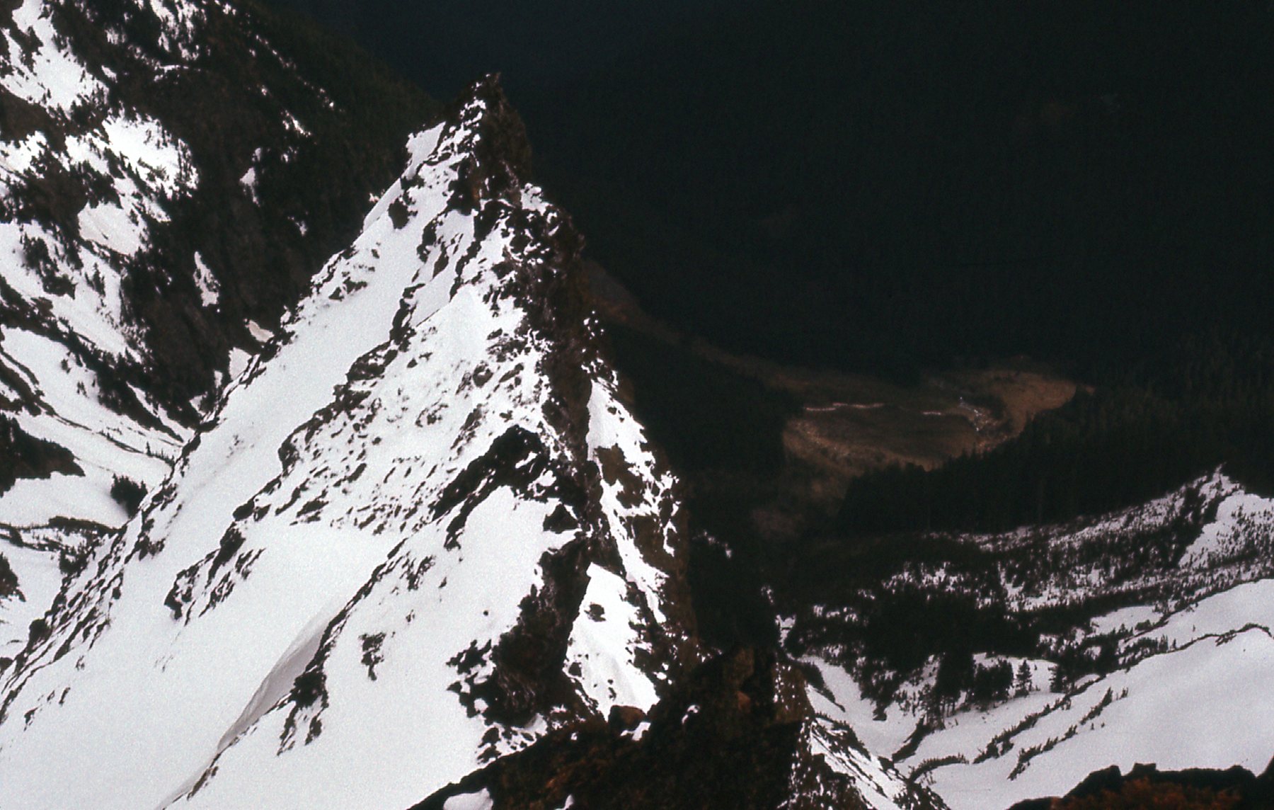
Here’s a view looking down the south ridge.
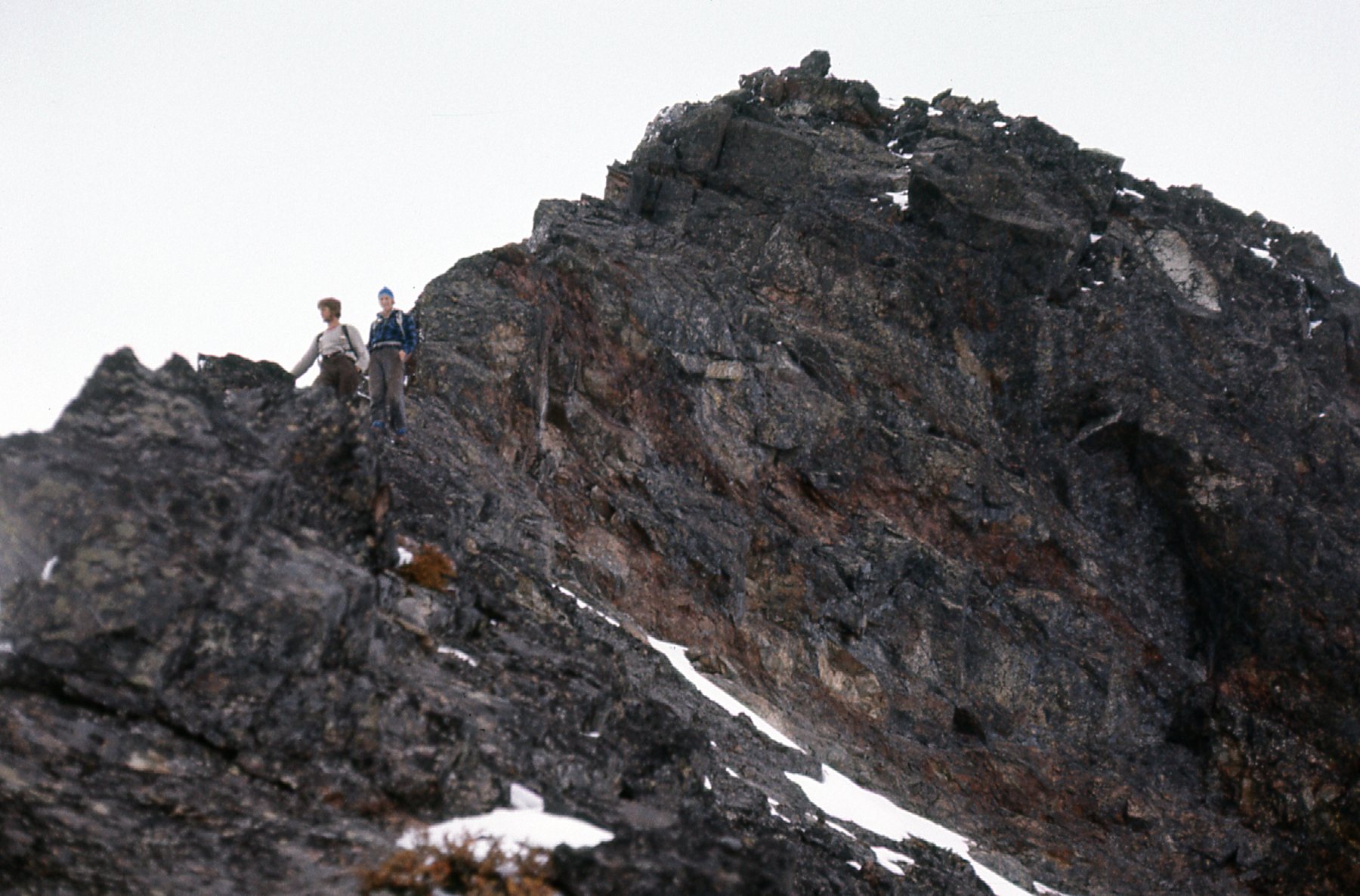
And finally, here’s Jim and Cam near where we stopped. I think that even if we had had a rope that day, we still would have chickened out.
We headed back down to the car. It had been a long day – 13 hours on foot, and 17+ in total. I knew I’d be back to try Baby Munday again, but when and with whom it was hard to say.
Almost a year went by. 1978 had arrived, and the pain of our failed attempt had subsided (almost). My thoughts turned to Foley Peak. I drove up to Wahleach Lake and then up a side valley as far as I could. Setting out with a full pack, I made it almost to the summit of Conway Peak by 7:00 PM where I did a bivouac in the snow. The weather was nice when I started out, but clouds moved in before I camped for the night. Conway happened to be along my chosen path to Foley. The next morning it was snowing hard. I made it to the summit of Conway Peak, elevation 6,560 feet, but visibility was so poor I didn’t risk an attempt on Foley. Here are a few pictures from that trip.
Sunset from the north side of Foley. The weather was nice early in the evening. This is a telephoto shot.
Later in the evening, clouds moved in and the weather was threatening.
I did manage to get this look at Conway Peak.
Okay, so this trip had yielded an ascent of easy Conway Peak, but I’d been stumped on Foley. What was next? There were still 2 to do.
Two weeks later, four of us returned to the Cheam Range. We were Brian Rundle, Ross Lillie, Ken Freer and Yours Truly. We drove a new road up Airplane Creek and were parked by 8:30 AM. The goal was to get up to the alpine lake at 6,400 feet. We started out together, but Brian and I pulled out ahead of the others. When we arrived at the lake, we wrote in the snow that we were setting out to climb Baby Munday and took off uphill towards the peak. It was 2:00 PM by the time we left the lake. Ross said that they found our message. They went ahead and climbed higher, to set up camp below The Still, then they went and climbed Stewart Peak.
Brian and I took off at a good clip and soon reached the south ridge. I have no photos from the climb, but we recall that it was slow work climbing higher. We had no rope, and only ice axes and crampons. The only diary notes I have of that day just say that there were “plenty of difficulties”. The only detail I recall was that, very close to the top, there was an airy gap that we had to cross, a big step which had hundreds of feet of thin air below it. A stone dropped from the gap sailed free and landed with a plunk on the snow far below. A gripping move with no protection. We made the summit okay, and mighty glad we were. It was slow, careful work retracing our steps, across the gap once more and down the steep ridge. By the time we were back at camp, 4 1/2 hours had passed since we’d started out for the climb of Baby Munday Peak.
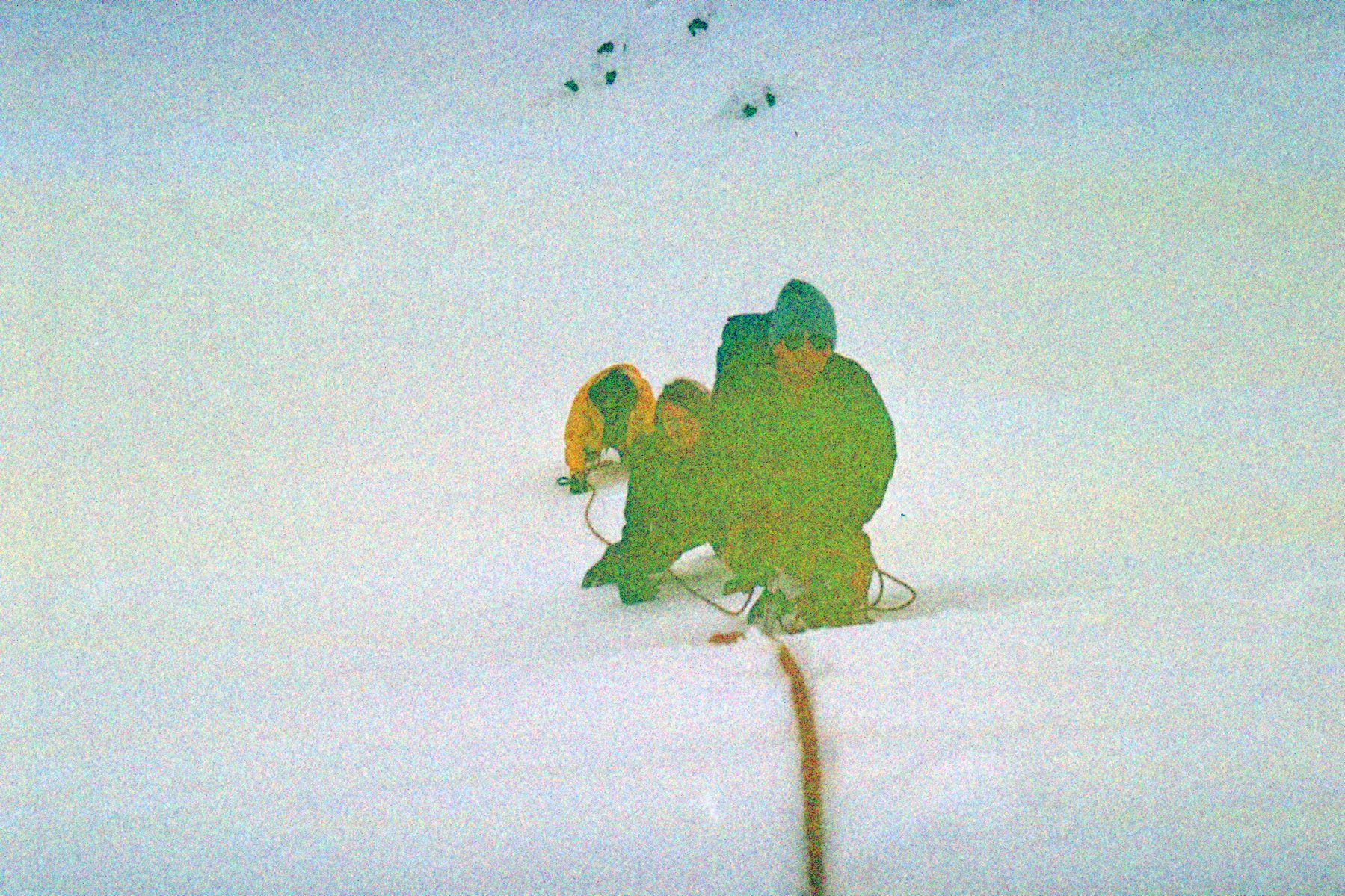
I slept well that night with the satisfaction of having finally climbed Baby Munday, the hardest of the Cheam Range peaks. Brian was a good partner on this one. The next morning, Brian and I set out early and climbed Stewart Peak, my second ascent of it. Then all 4 of us climbed The Still together, by the same route I’d used 16 months earlier. I have a few grainy photos of that climb to show you here.
Here, the 4 of us are nearing the top of The Still.
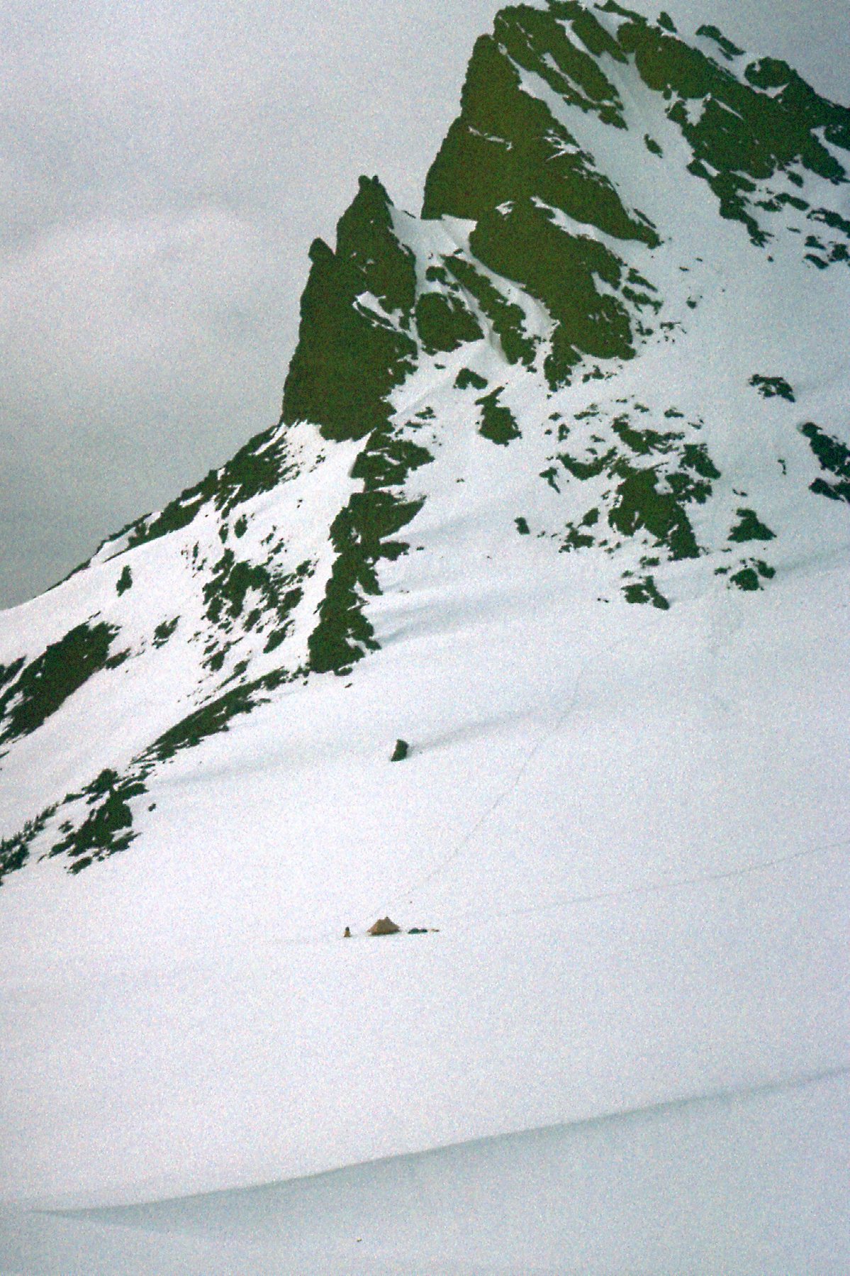
We reached the top without difficulty, spent a short while, then headed back down to camp. Can you see the tent in this next photo? That’s where Ken and Ross camped.
One more. Can you see Brian by our camp?
When all was done and both camps packed up, we headed down together and returned to the vehicle. From way down in Airplane Creek, we had this look back up to The Still.
Five days later, I went back to try Foley Peak once again. For some reason that I don’t recall, this time I went up Foley Creek, which put me on the east side of the mountain. It was a logged-out mess, and I must have given up without getting anywhere near the summit. I do have a couple of pictures of that day, though.
So that made 2 trips to try and climb Foley. The peak was proving somewhat elusive. The guidebook describes it as “a steep pyramid of loose, rusty rock”. Another month and a half passed. Came the solstice, and I returned once again with Mike Ryan from Mission. We had done several climbs together in the previous couple of years and I knew we’d have a good time with this one.
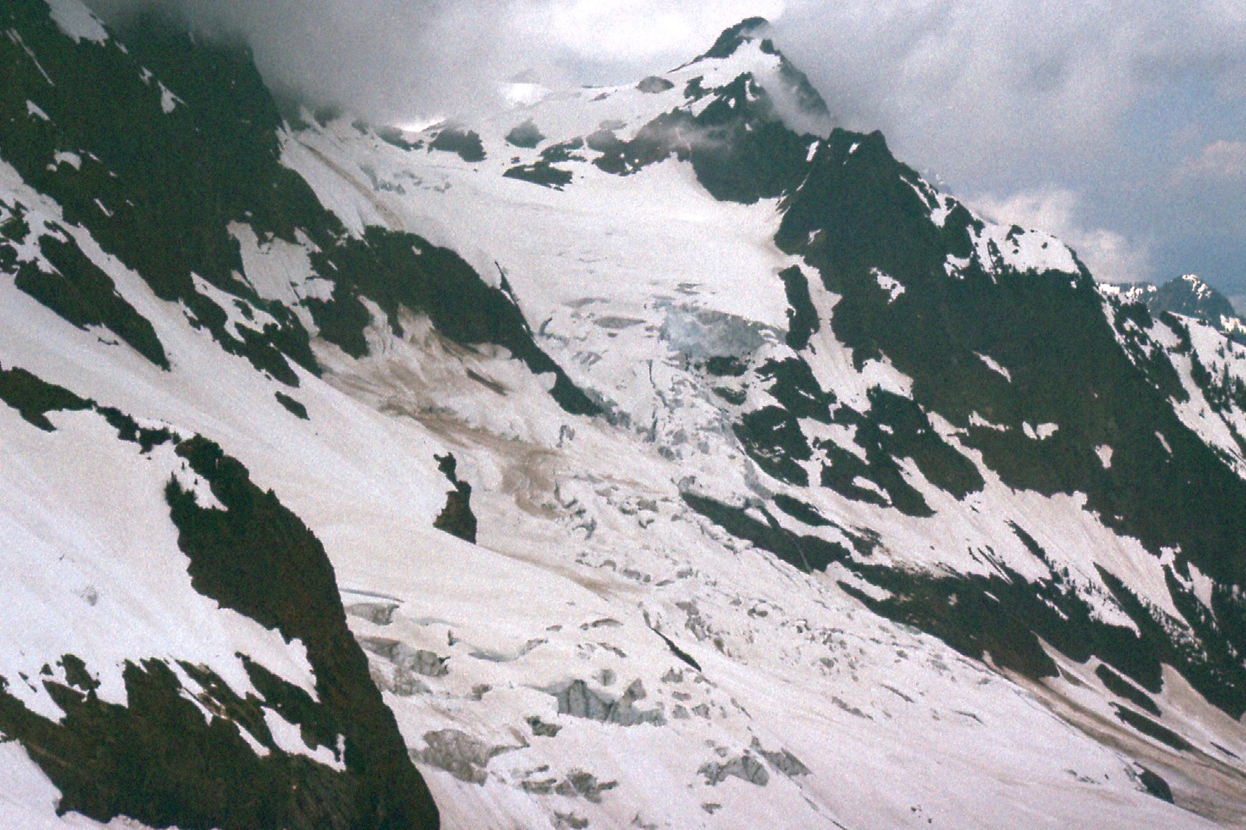
On June 21st (it was still 1978) we drove up to Wahleach Lake and in as far as we could towards the peak. This was to be a day climb, so we were traveling light. On the way in, we had this good view of the glacier on the southeast side of Stewart Peak.
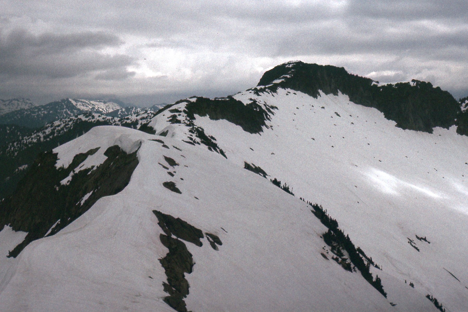
It was just as easy to climb Conway Peak again and then follow its ridge southwest to Foley. In so doing, we only had to lose a little over 400 feet before we found ourselves up against the slope of Foley. Here was our look back to Conway.
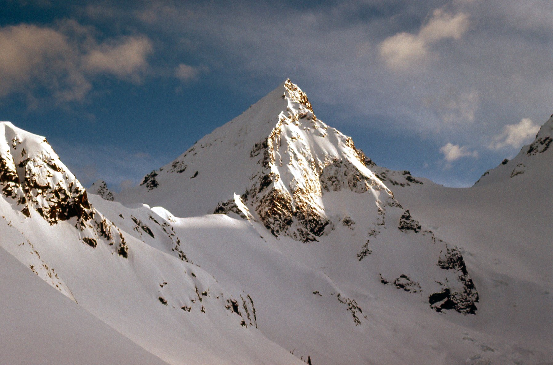
From lower down, we had this view across the east side of Foley. We crossed the snow slope and went over to the ridge which you can see on the skyline angling up from lower left to upper right. It proved a good route and we made the summit with no problems that I can recall.
That was it, Foley Peak on the third try. It stands 7,500 feet and sits at the eastern end of the range. It took me 4 years to climb them all, and required 6 nights camping out. Two of them took more than one try. I have nothing but good memories of the Cheam Range. Today, more than 40 years on, I have learned that access into the range has changed from when I climbed there. There are a few maintained trails, and a few Forest Service roads which give reasonable access to the peaks, probably better than what we had in the 1970s. It seems to be a climbing destination which is more popular than ever. I’m glad that I had the experiences I did back then, however – some good climbs done with good partners.

