It’s an odd name, Cheam. It always seemed a bit out of place to me because I never knew the origin of the name of this small mountain range in southwestern British Columbia. After some poking around on the internet, I concluded that the range must have been named after a place in England. Cheam is actually a suburb of London that’s been around since the 700s. The British pronounce it “Cheem”, while in BC the name of the range is pronounced “She-am”. Some homesick Brit probably came up with the name for the range years ago.
When I published this piece, a relative who lives in BC came up with an alternative origin of the name. His research said that it meant “wild strawberry place” in the Sto lo language, in the Halq’emeylem dialect. I rather like this possibility, that it has a First Nations origin.
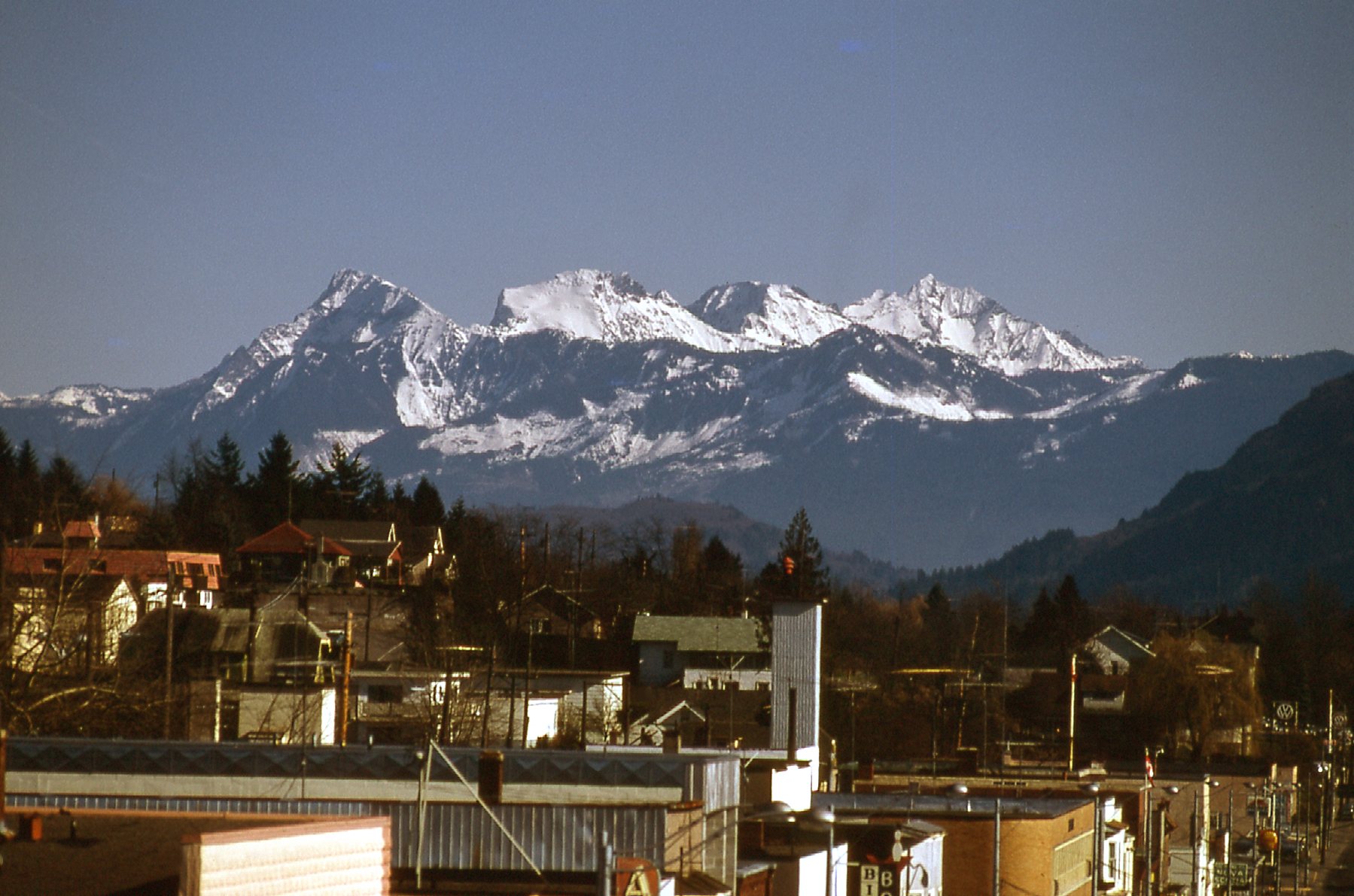
From Mission, my home town in the 1960s and 1970s, we had a good view of the range. Check out this picture taken from the center of town, looking almost due east. It’s a pretty striking view, taken in February – the peaks are 26 miles away in this telephoto shot. Starting in 1961 in high school, I was looking at the range every day and always wondering what it’d be like to go and try to climb them. It took until 1974 before anything like that would transpire, though.
The range is close to the hundreds of thousands of residents of the Fraser Valley. Even for the 2.5 million residents of metro Vancouver, it’s only an 80-mile drive, so the range is easy to access and oh-so-conspicuous, contributing to its great popularity today. There are 8 peaks which form the range, and they are, from west to east: Cheam Peak; Lady Peak; Knight Peak; Baby Munday Peak; Stewart Peak; The Still; Welch Peak; Foley Peak. There is one more, Conway Peak, the farthest east, which some would include in the range as well.
Came 1974 and I found myself gainfully self-employed. Since I had full control over my time, I could go climbing any time the mood struck me and the weather would cooperate. It was mid-June, and I guess the Cheam Range was calling pretty loudly. Four of us left Mission on the 15th with an early start. Our goal was to climb Cheam Peak, the most westerly of the range’s peaks and the most visible. In the photo above, it’s the one on the left. The four westernmost peaks of the range are sometimes called the “Four Sisters” and Cheam Peak, at 6,913 feet, is the lowest of them. To climb it, you start practically from sea level – the highway at its base is only about 100 feet in elevation. We drove up an old road as far as we could in the fog, then parked. On foot with full packs, we climbed until we reached the sunshine at 4,000 feet. We filled all of our water bottles at this last good spot.
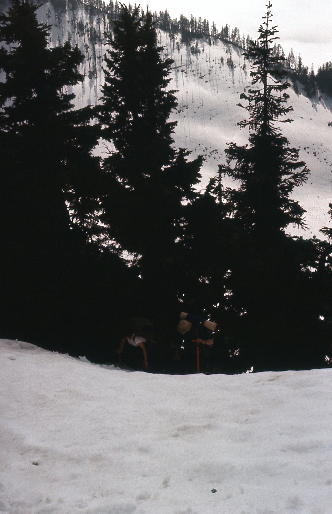
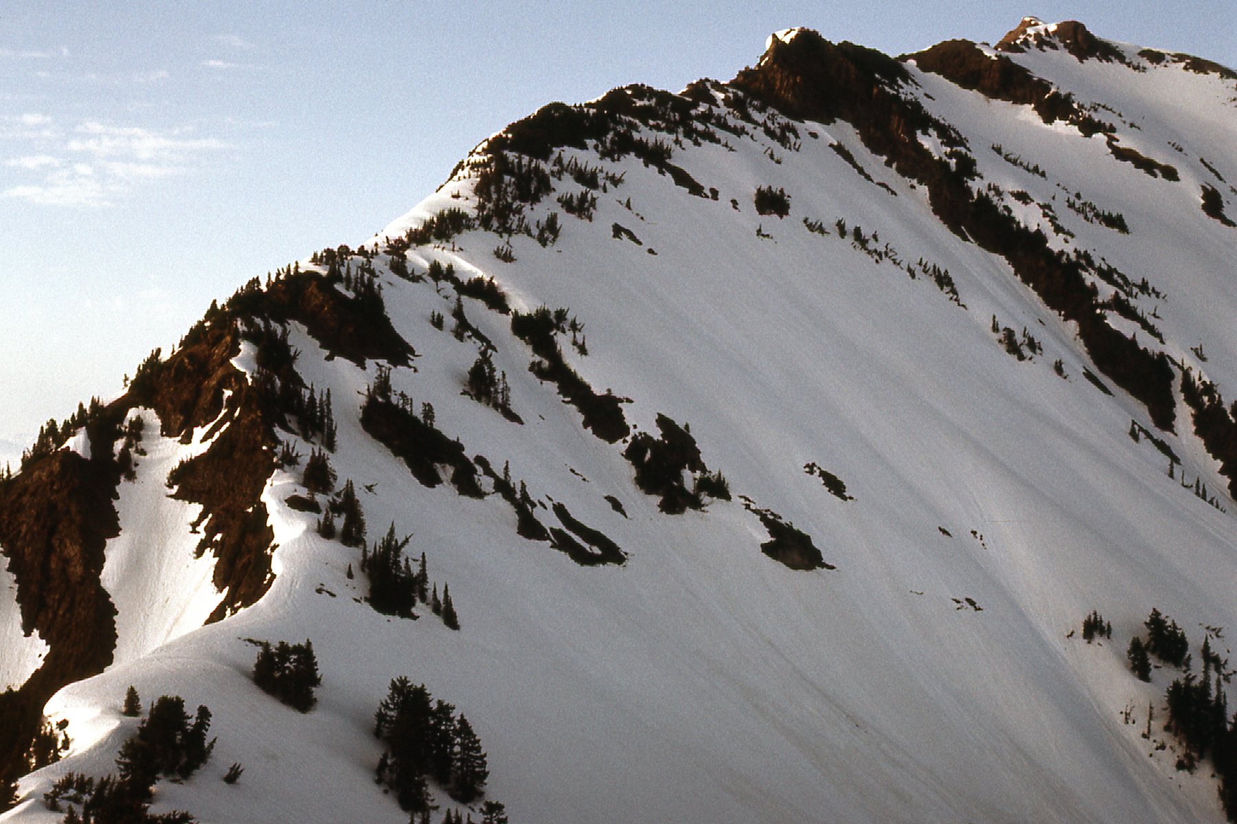
June is pretty early in the season in those parts, so there was plenty of snow. We could see the ridge up above us, which is where we wanted to be.
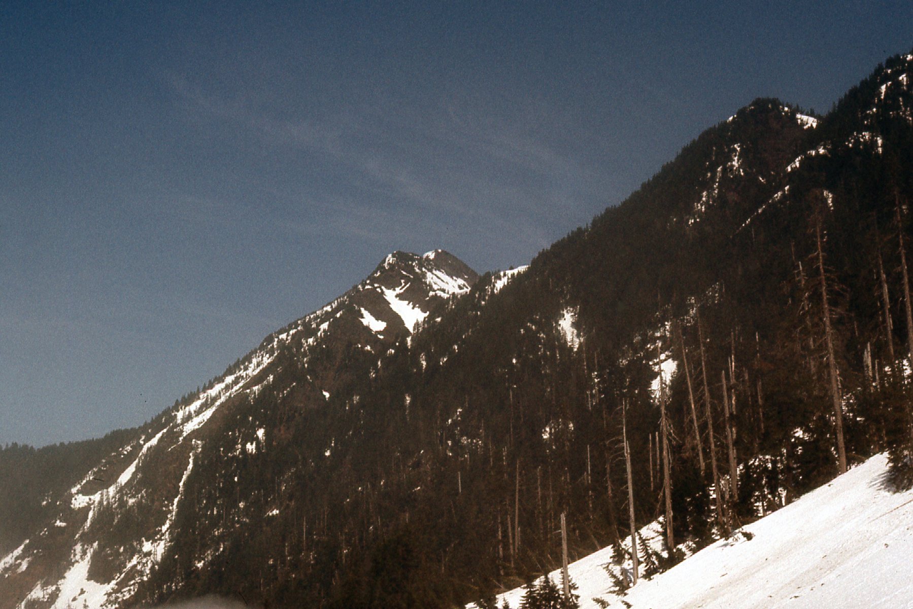
Here’s a look up towards the summit – we still had a long way to go.
Finally, we made the southwest ridge proper at 5:15 PM – there we were at 5,600 feet. The four of us were soon joined by 2 others and we all camped together at a nice, open spot. Here’s a look along the ridge.
A view south from the ridge showed several peaks to advantage.
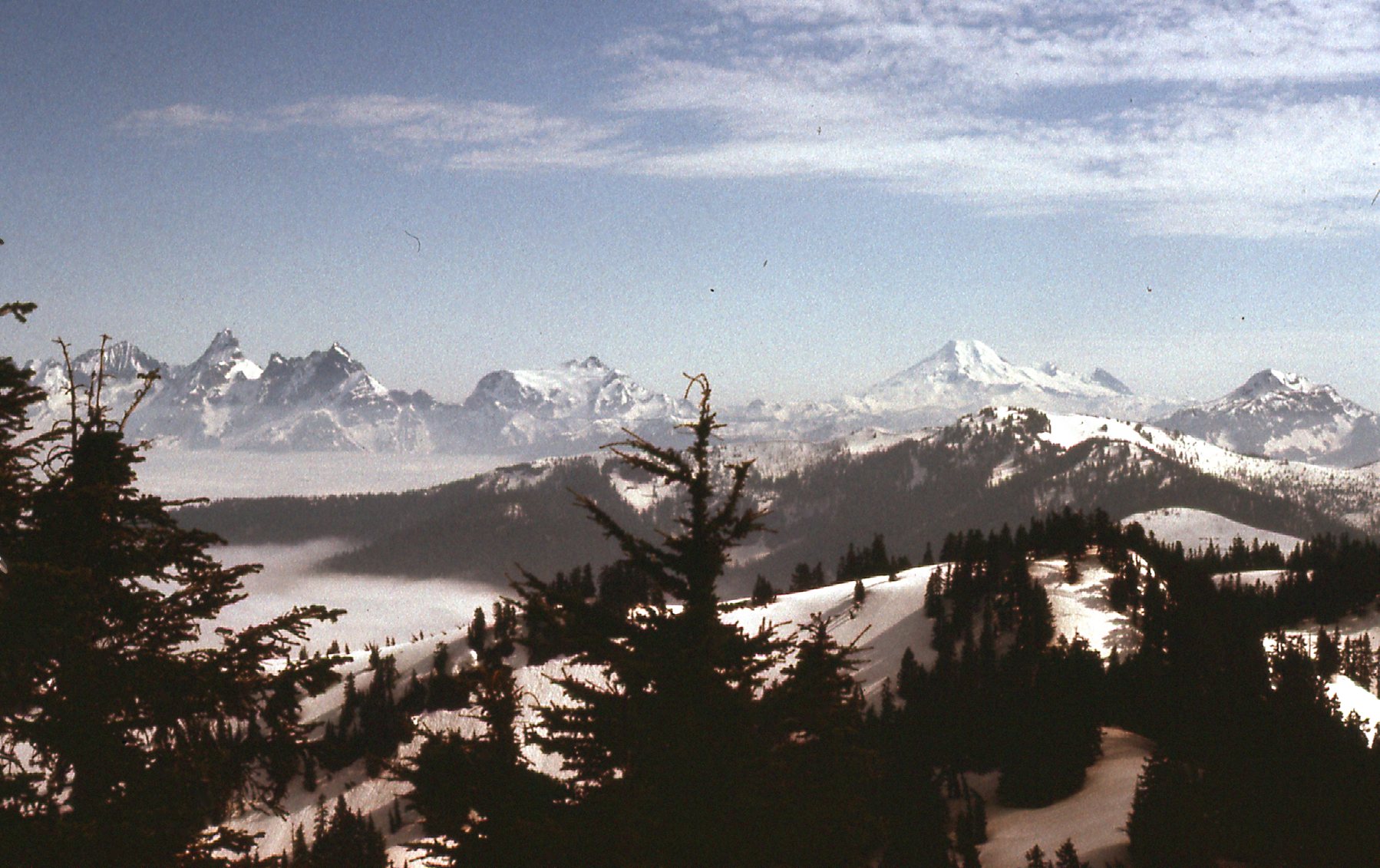
From the left side, we can see Slesse Mountain (steep, dark, just to the right of the tree branch; Mt. Shuksan just to the left of the tree in the center; Mt. Baker, big and white, farther right)
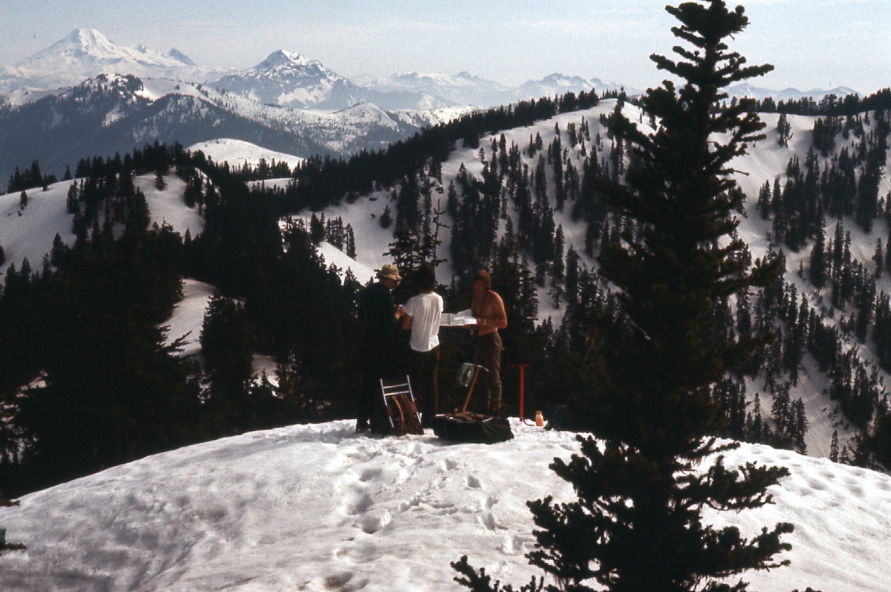
Here are 3 of us making plans.
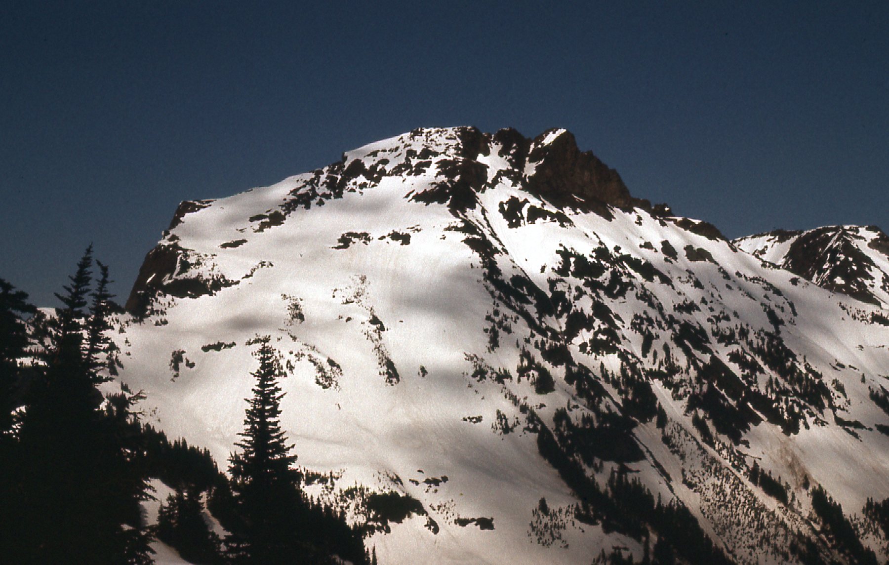
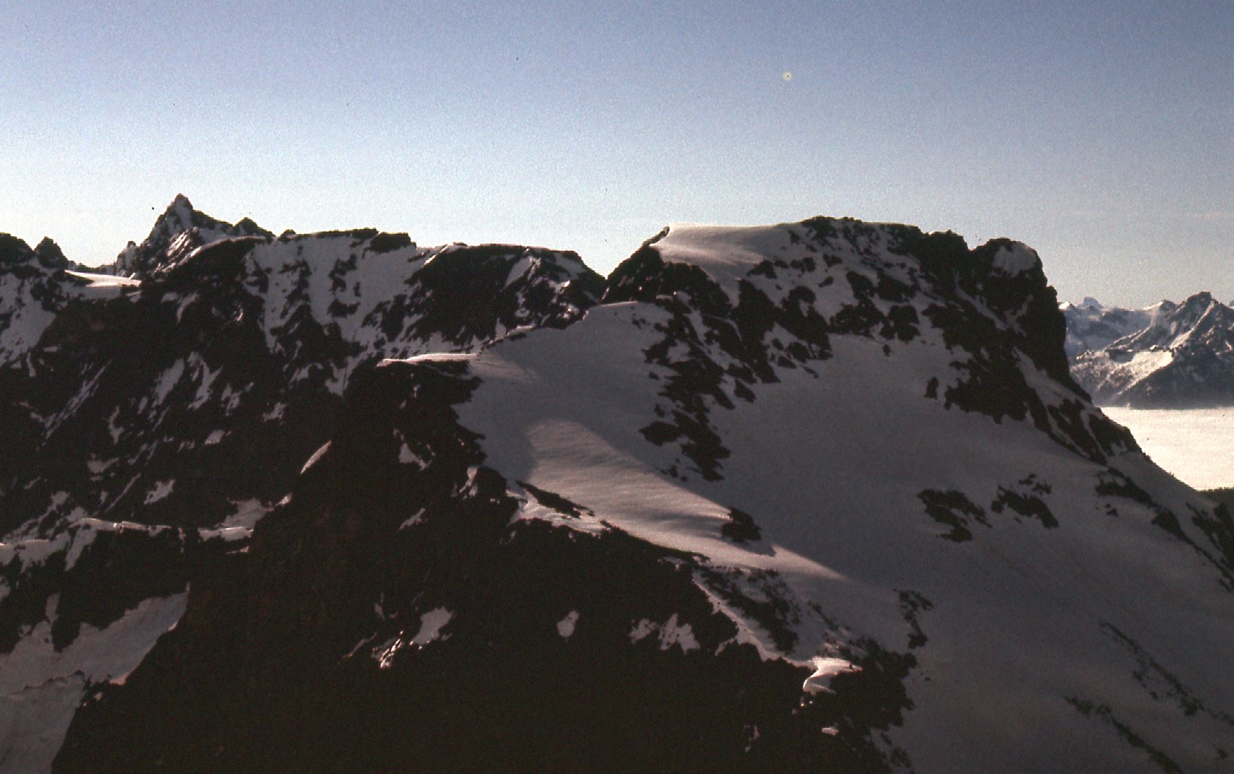
The next peak over in the range was Lady Peak, and we had a great view of it.
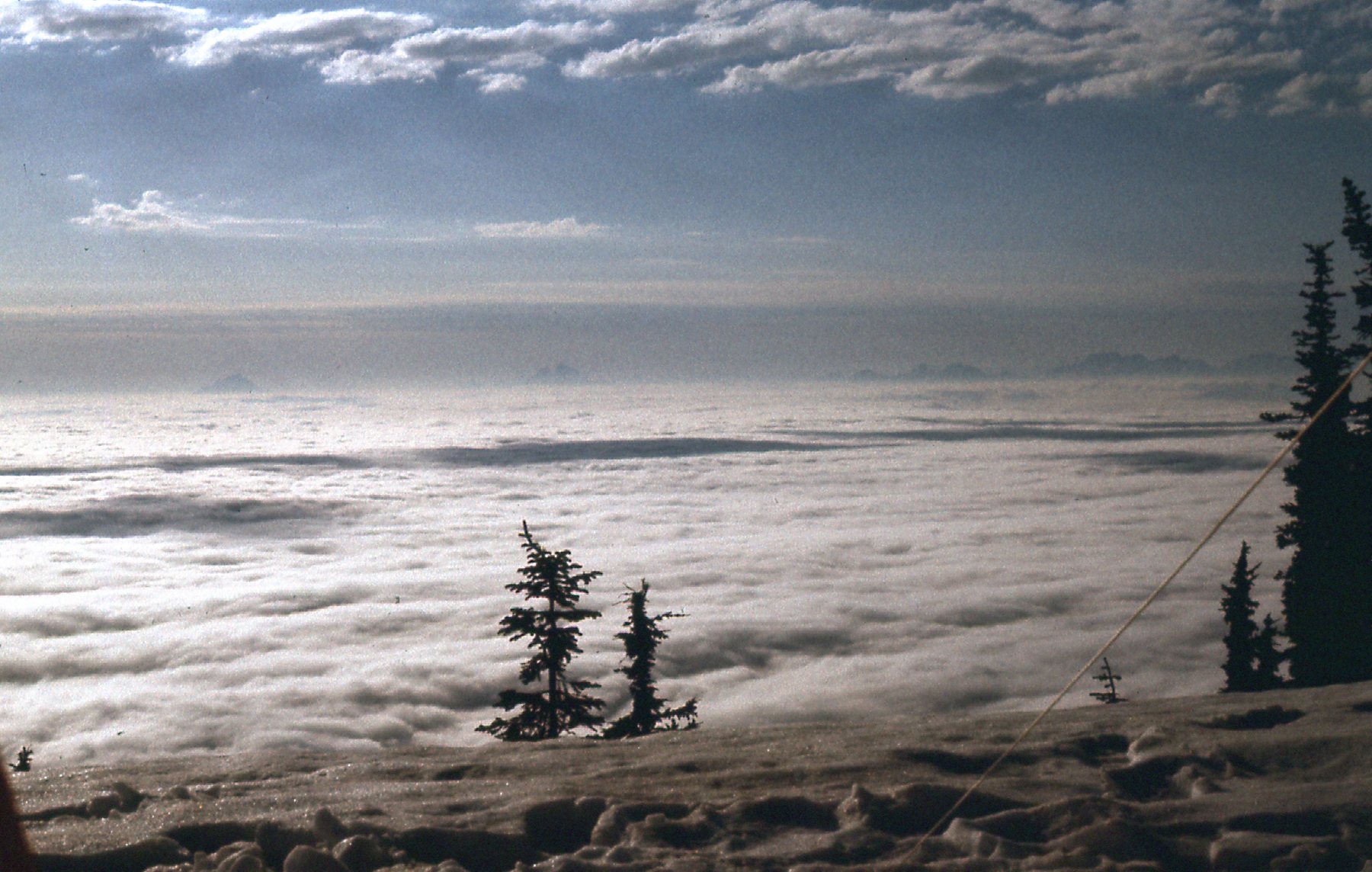
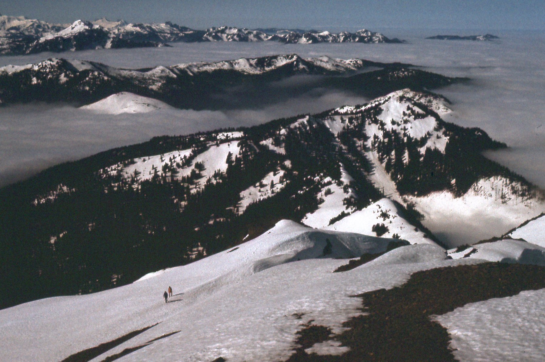
The valley below was still completely socked in, but we were above all of the clouds.
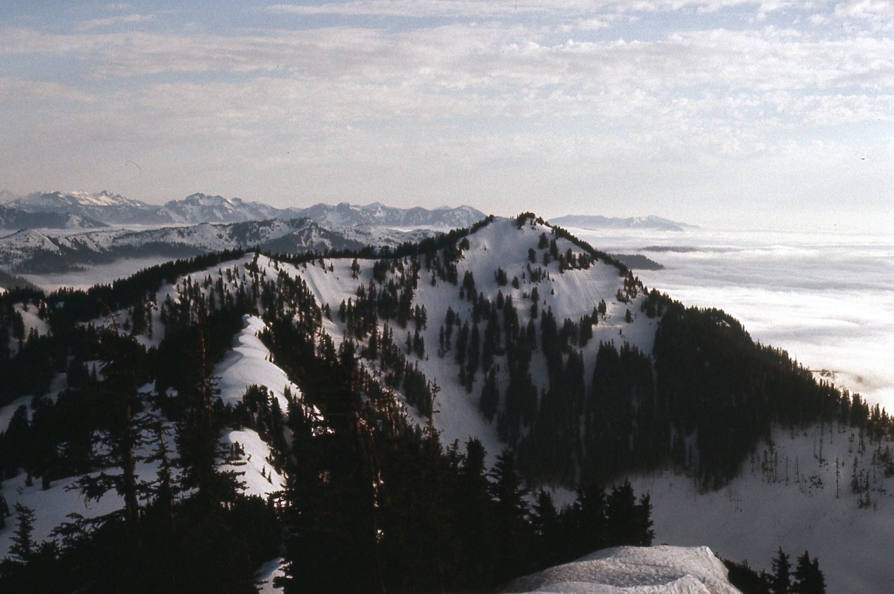
From our camp, we had this tantalizing view up the ridge, the one we’d follow to the top.
The next morning, 6 of us left for the summit, but only 3 made it all the way. In the above photo, high up on the ridge you can see a dark area of rock. It’s not a major obstacle – yes, it’s steep but can be bypassed on the right. There’s also a bit of exposure on the route but nothing too dramatic. The 3 turned back and returned to camp, while we others continued and enjoyed the views from the summit.
And a look back down the ridge we’d climbed.
One more photo from the summit, much like one shown earlier but a bit of a telephoto.
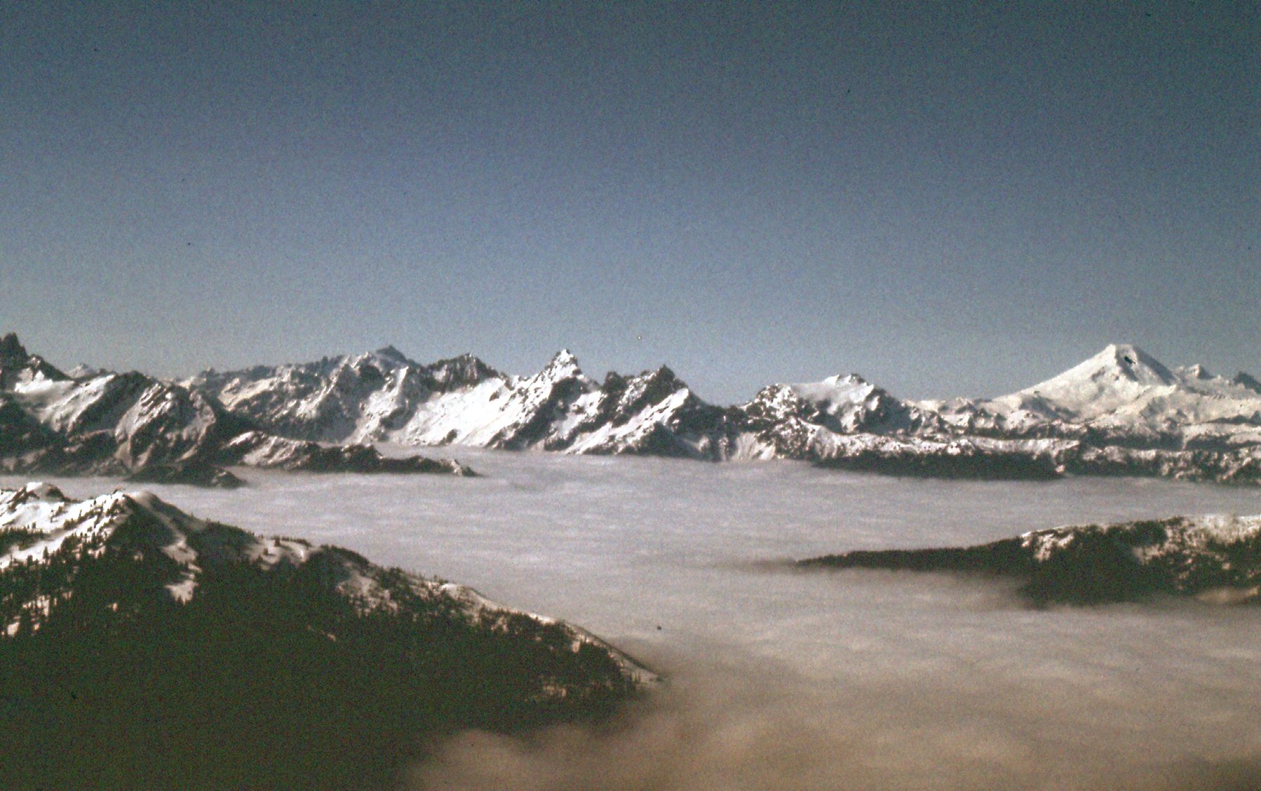
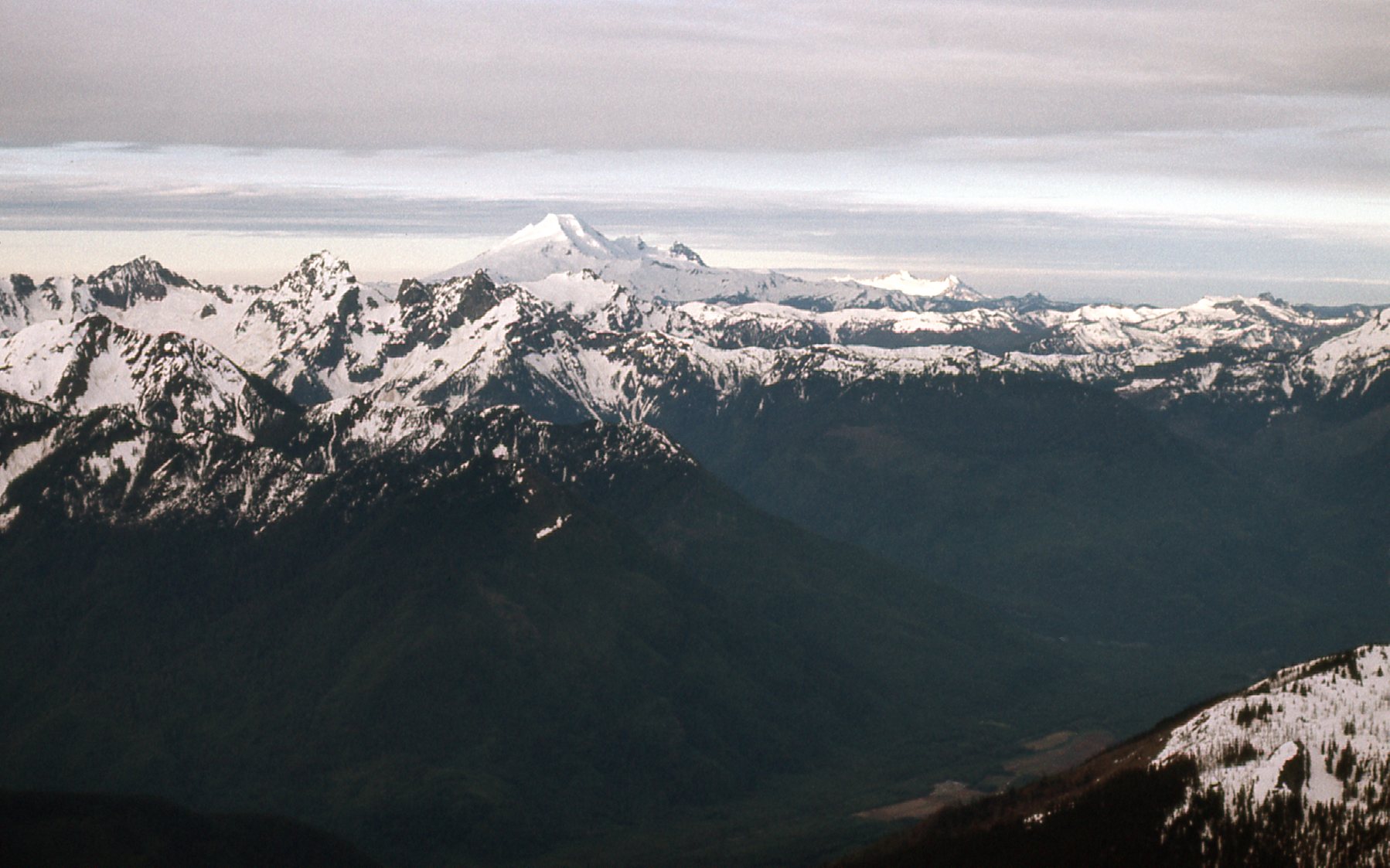
A look south. American Border Peak is the pointy one just left of exact center. Mt. Baker is the big white one on the far right.
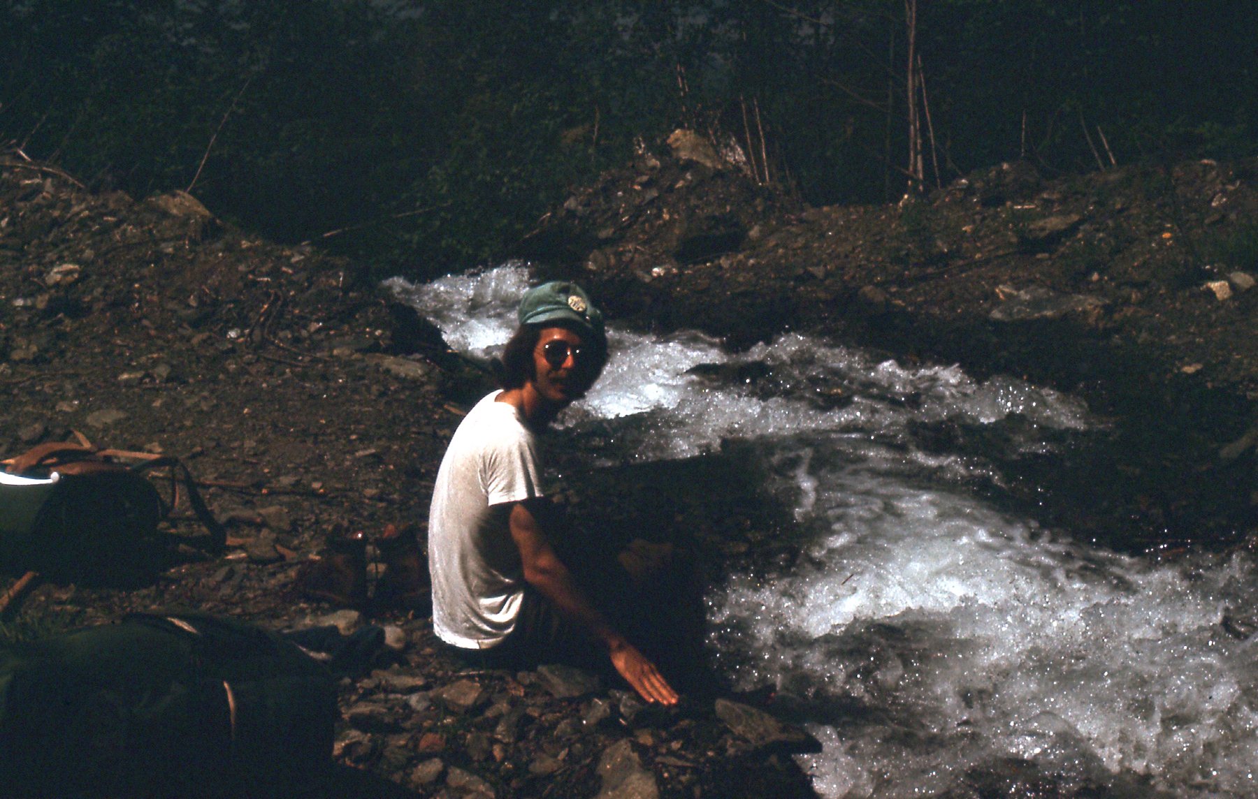
After a good while on the summit, we headed back down, packed up camp and continued on down the mountain. It was a long day. We stopped to soak tired feet in the icy water of Upper Bridal Creek.
So there it was, one peak of the Cheam Range done. I didn’t seem to be in a big hurry to return to the range, because it was a full 2 years until I was back.
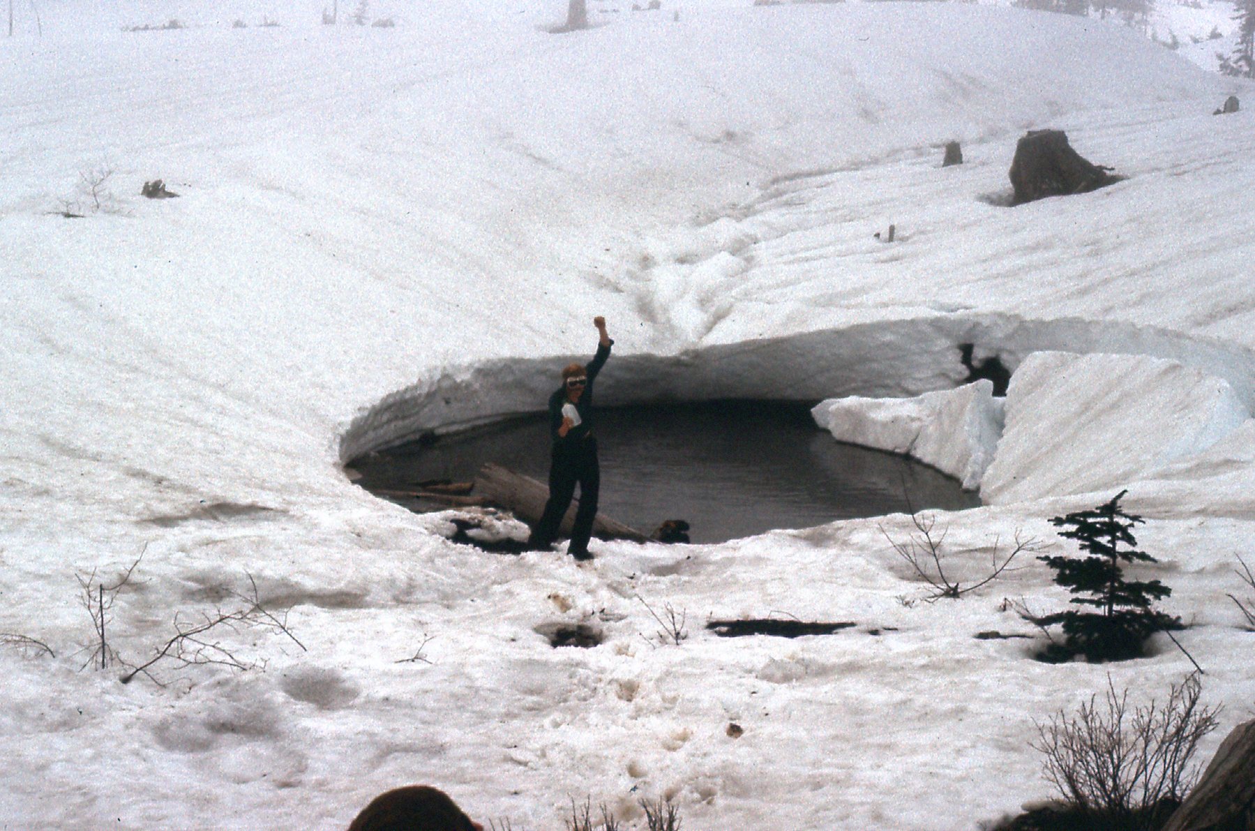
It was July 4th of 1976, and this time I was by myself. I left my place just after noon and an hour later I was driving up the Chilliwack River. Leaving the main road, I drove a side road up to Foley Lake at 1,800 feet and parked. This climb would be another overnighter, so I set out with a full pack. I took my sweet time, and it was a full 4 hours until I arrived at Williamson Lake, my final destination for the day at 5,400 feet. July 4th may seem late in the year for those who live in warmer climes, but it can still be pretty wintry here. Look, I’ll prove it. Here’s what Williamson Lake looked like when I arrived – that’s it right in front of me.
I found a flat spot and laid out my blue foamie, an ultra-lightweight closed-cell foam mattress that was popular in the day. It weighed next-to-nothing and was good for sleeping on snow or ice, as it didn’t transmit heat or cold well. I turned in early, in my sleeping bag by 7:30 PM. The day had been very humid, but the skies cleared by evening, which augured well for a good climb the next day.
It wasn’t cold overnight, and I was up and moving by 3:30 AM by headlamp. I climbed up to the col that separated Welch Peak from Foley Peak, putting me at about 6,900 feet. From there, I made a left turn and started up the east ridge. Progress was pretty good. The rock wasn’t the best, somewhat loose most of the way. There was only one obstacle, a gendarme that blocked my path. I avoided it by dropping down on to the south face, then regaining the ridge shortly afterwards. By the time I reached the summit, a full 3 hours had passed since I had left my bivi site. Not bad, that’s what the guide book says it should take. It was 6:30 AM by the time I topped out on Welch Peak, elevation 8,000 feet, the highest peak in the range. The day had clouded over while I climbed, as you can see from these summit photos.
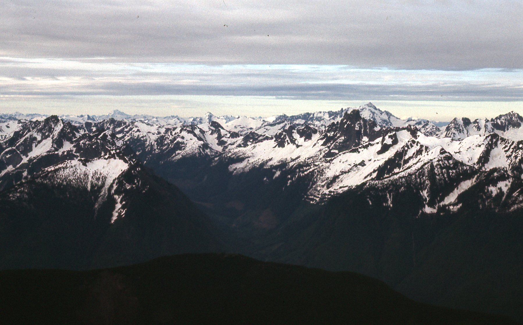
That’s Glacier Peak way out there a fifth of the way from the left, the white one that’s in shadow, 76 miles away on the distant horizon.
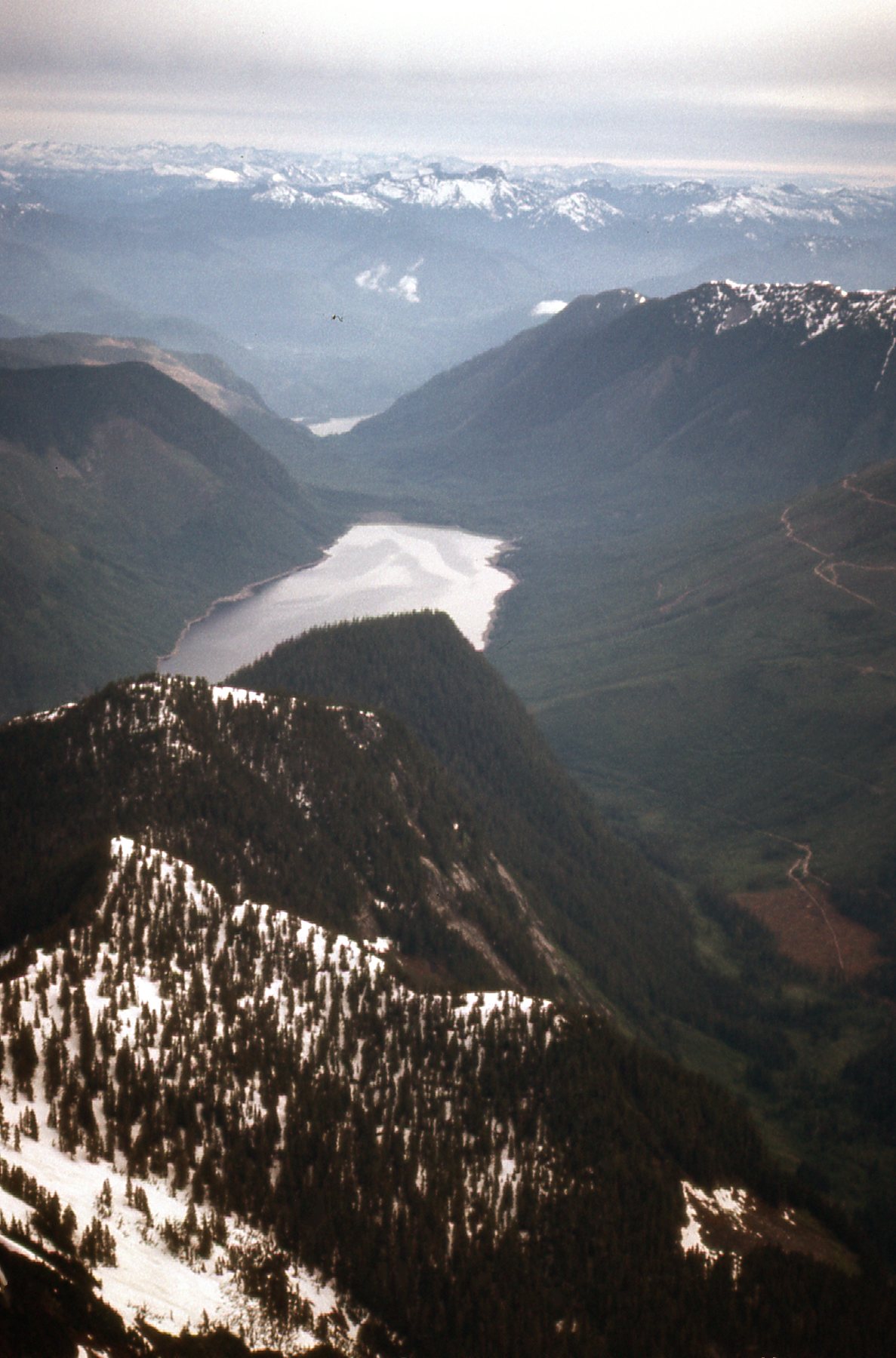
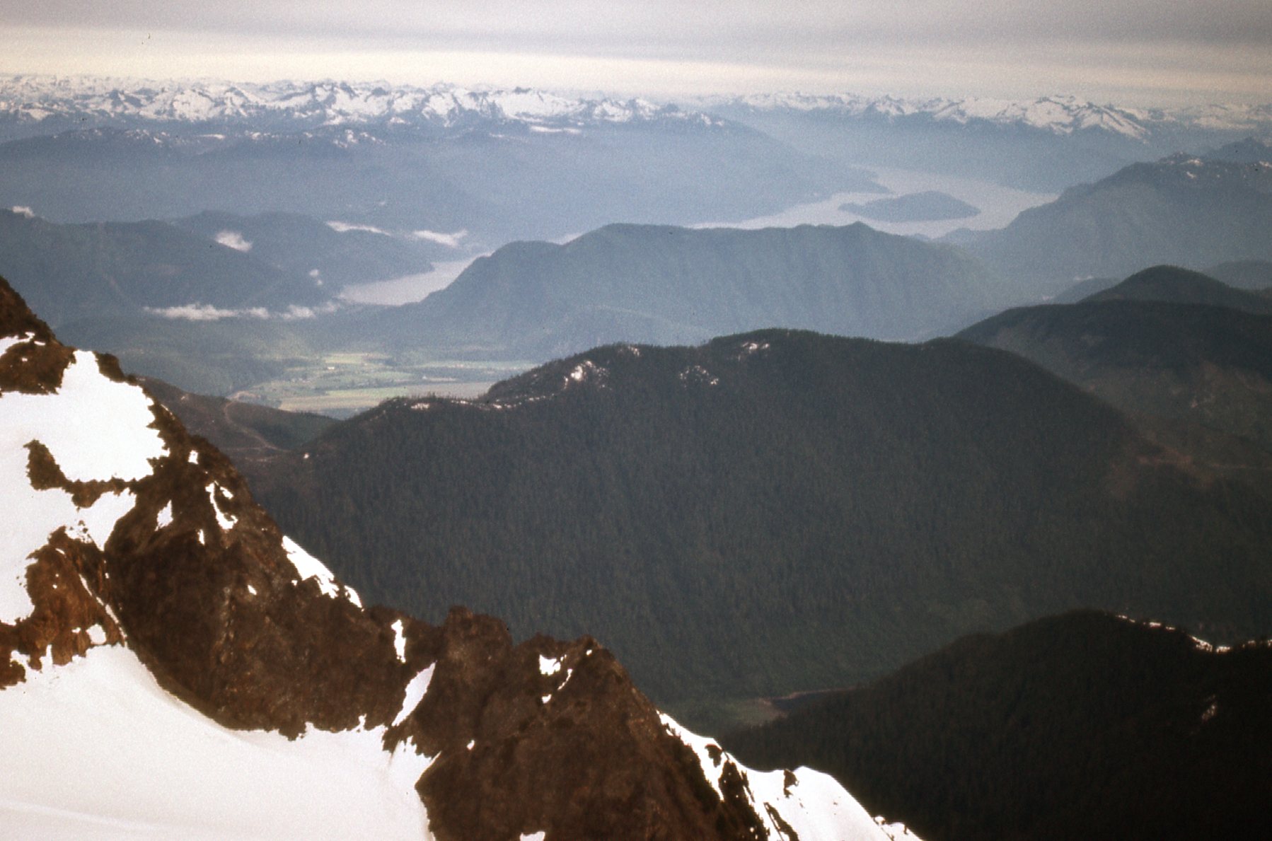
Commonly known as Jones Lake, this is more properly called Wahleach Lake, a popular recreational area. It is north of the peak.
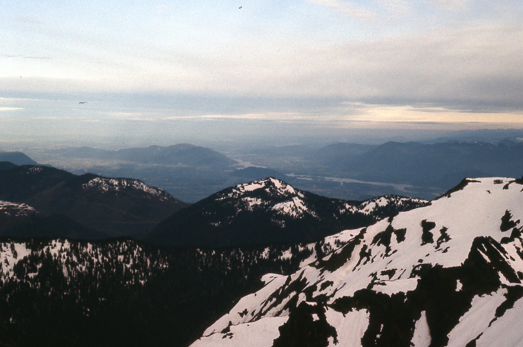
A little west of north lies Harrison Lake, only 16 miles away.
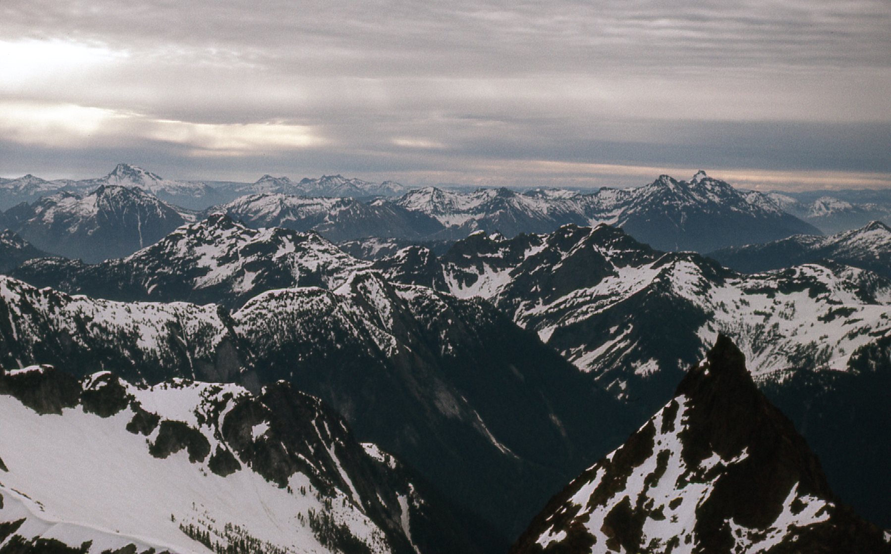
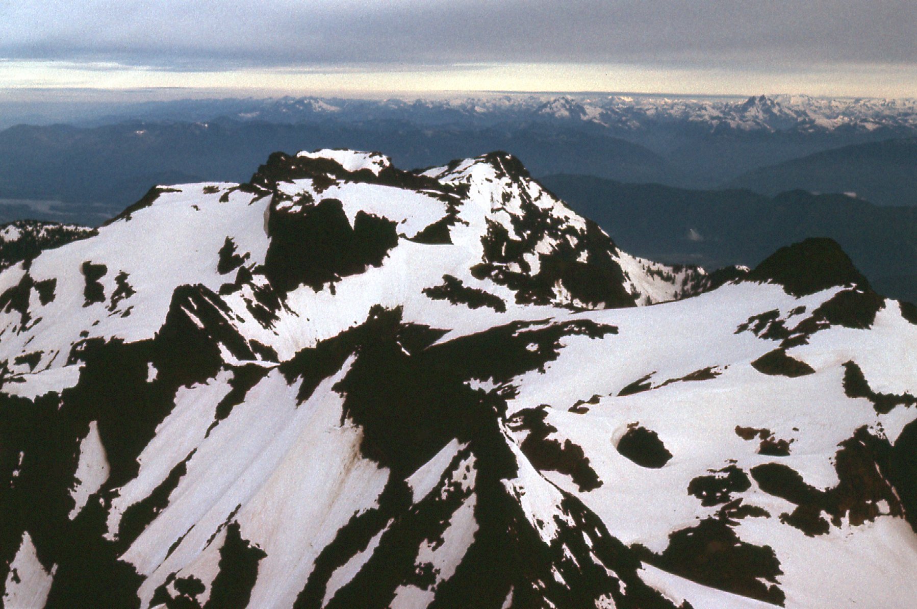
Here, we are looking to the NNW up the Cheam Range, over the top of 6 of the other peaks in the range.
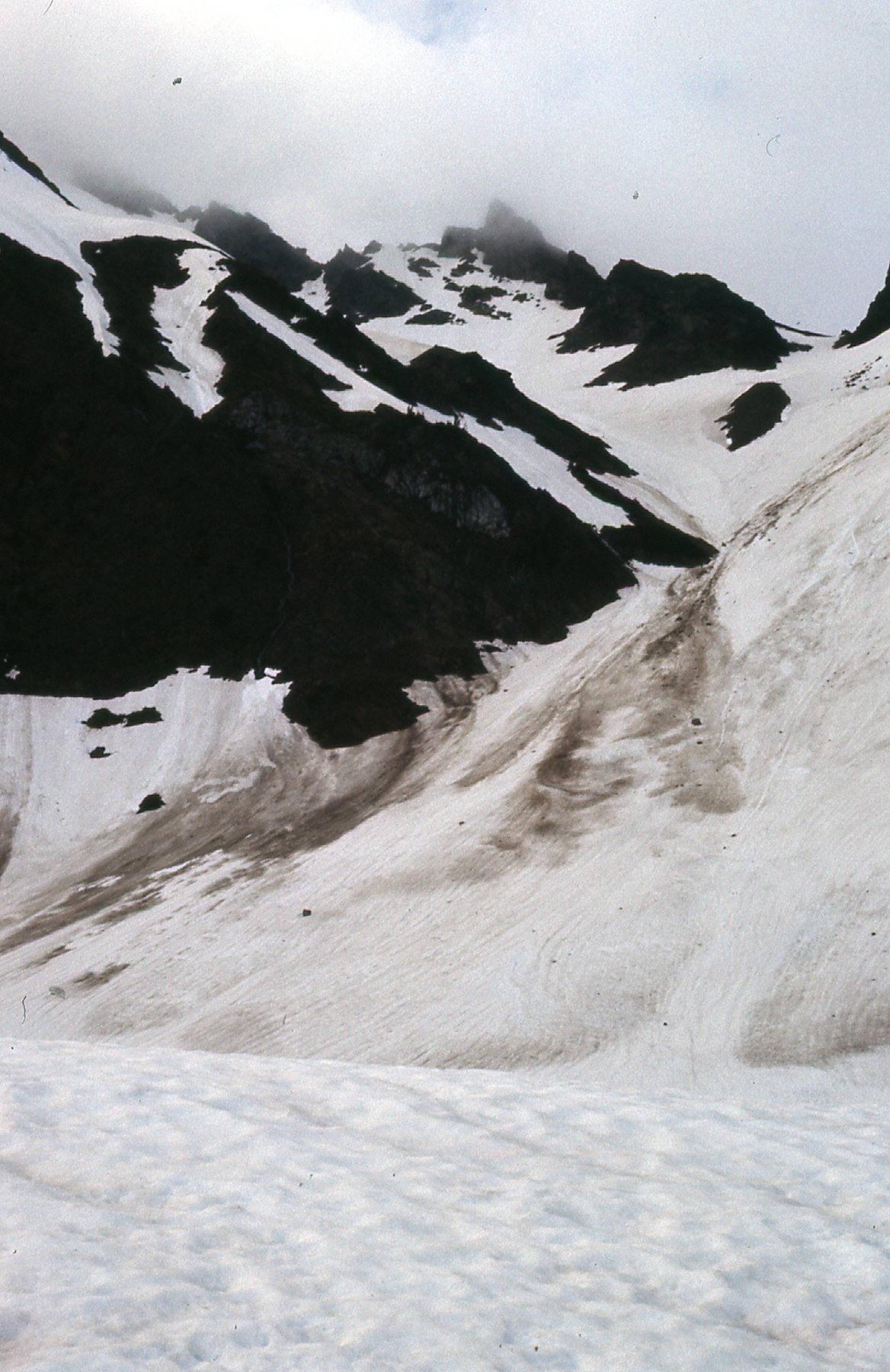
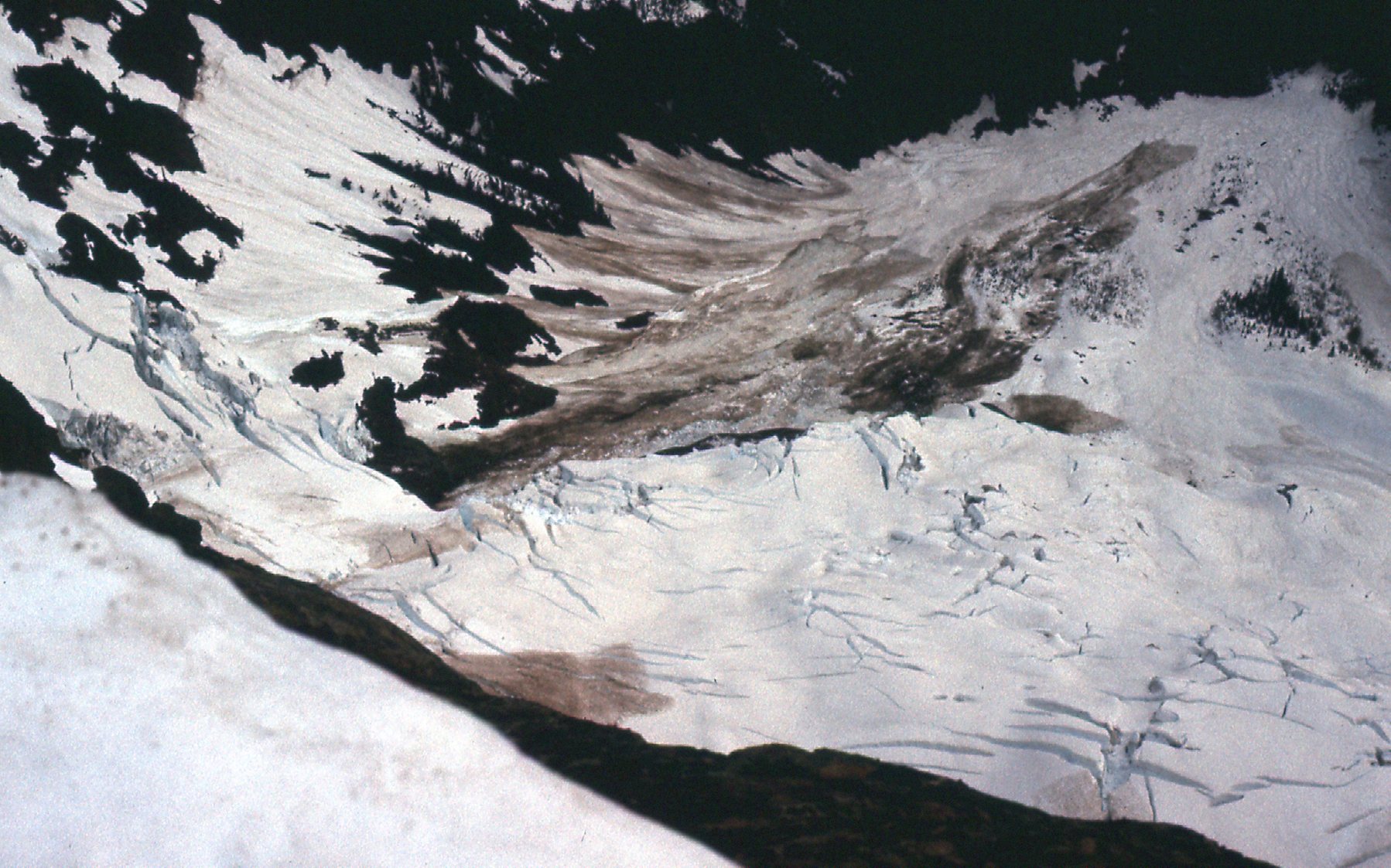
One more view, this time of the “Lucky Four Glacier” on the peak’s northeast side.
The climb up the east ridge of the peak made me think (or hope) that there might be a better route down, so I decided on the southeast face. It was a solid Class 3 descent, but I had to pay close attention for the whole 2,600 vertical feet, as it was all new ground to me. There were a number of places that gave me pause, so caution was in order. Did I mention that, after Cheam Peak, Welch Peak was the second-most-popular climb in the range?
All in all, Welch had been an enjoyable challenge and that climb is what got me hooked on the idea of tackling the other peaks in the range. As I drove home that day, I was already making plans to climb the rest of them, although I wasn’t sure what I’d do next. Stay tuned to read more of my continuing adventures in the Cheam Range in Part 2.

