In the previous story I published called “High”, I talked about the effects that climbing to high elevations in the mountains had on the body, and some of my experiences with that. We ended with a climb on Orizaba in Mexico in 1976. For a long time after that, I didn’t give a lot of thought to climbing anything bigger. The years passed, I moved from Canada to the USA, and settled into a comfortable routine of climbing peaks in both of those countries. That went on for many years and all was well. But by the time 1989 arrived, for some reason I started thinking about doing something bigger, more challenging.
Cerro Aconcagua is the highest mountain in the western hemisphere and also the southern hemisphere. The only higher mountains on Planet Earth are in Asia. After talking with a few friends who had successfully done the climb, I thought that I might be able to do it too. Seeing my friend Barbara Lilley’s slides of her climb got me pretty excited and made up my mind to go give it a try. I would go alone and not be a part of a guided climb as so many others do. Cost was a major consideration, and my ego told me I should be able to do it unassisted.
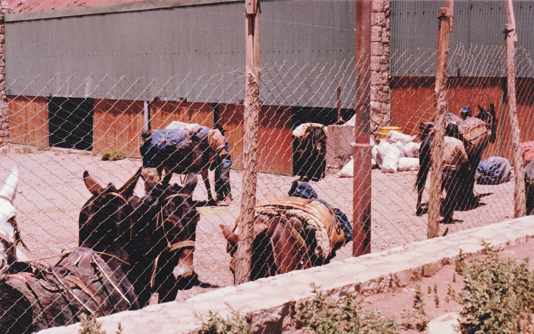
On January 18th, 1990, I flew to Mendoza, Argentina via Los Angeles and Buenos Aires. After a few days there arranging a climbing permit and other essentials like fuel and maps, I left town and headed towards the mountain on the 22nd. I spent 3 nights at a village called Puente del Inca at around 9,000 feet. There, I arranged for my gear to be transported by mule to the base camp. Here’s where the arrieros loaded their mules, who I don’t think were very happy about the journey ahead.
On the 25th, I set out on foot towards the mountain. My route up the Horcones Valley was 26 miles in length. I was carrying a big pack, and only made it to about 11,400 feet by the end of my first day, somewhat disappointing. By the end of the second day, I felt I should have made it the rest of the way to base camp, but I ran out of steam and had to stop at 12,600 feet. Many people cover the entire 26 miles in one long day, but I was going much more slowly. It took me into my third day to finally stumble into the base camp known as Plaza de Mulas at around 14,000 feet. I felt like shit, and I was disappointed with myself. I had a headache and was nauseous. It had taken me 16 hours of walking over 3 days to cover the 26 miles and to climb the 5,000 feet to reach base camp.
It seemed like I should have been doing better with the acclimatization, since I had taken a number of days to gain altitude slowly. I’d have to see how I did in the coming days. But in the meantime, what a place was this Plaza de Mulas! I counted 100 tents, with a total population of about 300 climbers, from countries all over the globe. It was fascinating just walking around and talking to them. The day after I arrived, wanting to get a bit of exercise, I climbed 500 feet up the nearby mountainside.
What a mistake! I felt horrible, so nauseous. By the time I made it back to camp, all I could do was crawl into my sleeping bag and try not to throw up. Thus began a period of several rough days. Believe it or not, I spent a total of 8 nights there before I finally felt well enough to carry a load up to a higher camp. At 16,000 feet was a spot known as Plaza Canada, a bit of a flattening in the otherwise relentless slope. It took me 5+ hours to get there, and as soon as I arrived I dropped my light load and headed back down to base camp – the return only took 1 hour. I spent 2 more nights there, using the time to sort through my gear and decide what would go with me further up the mountain.
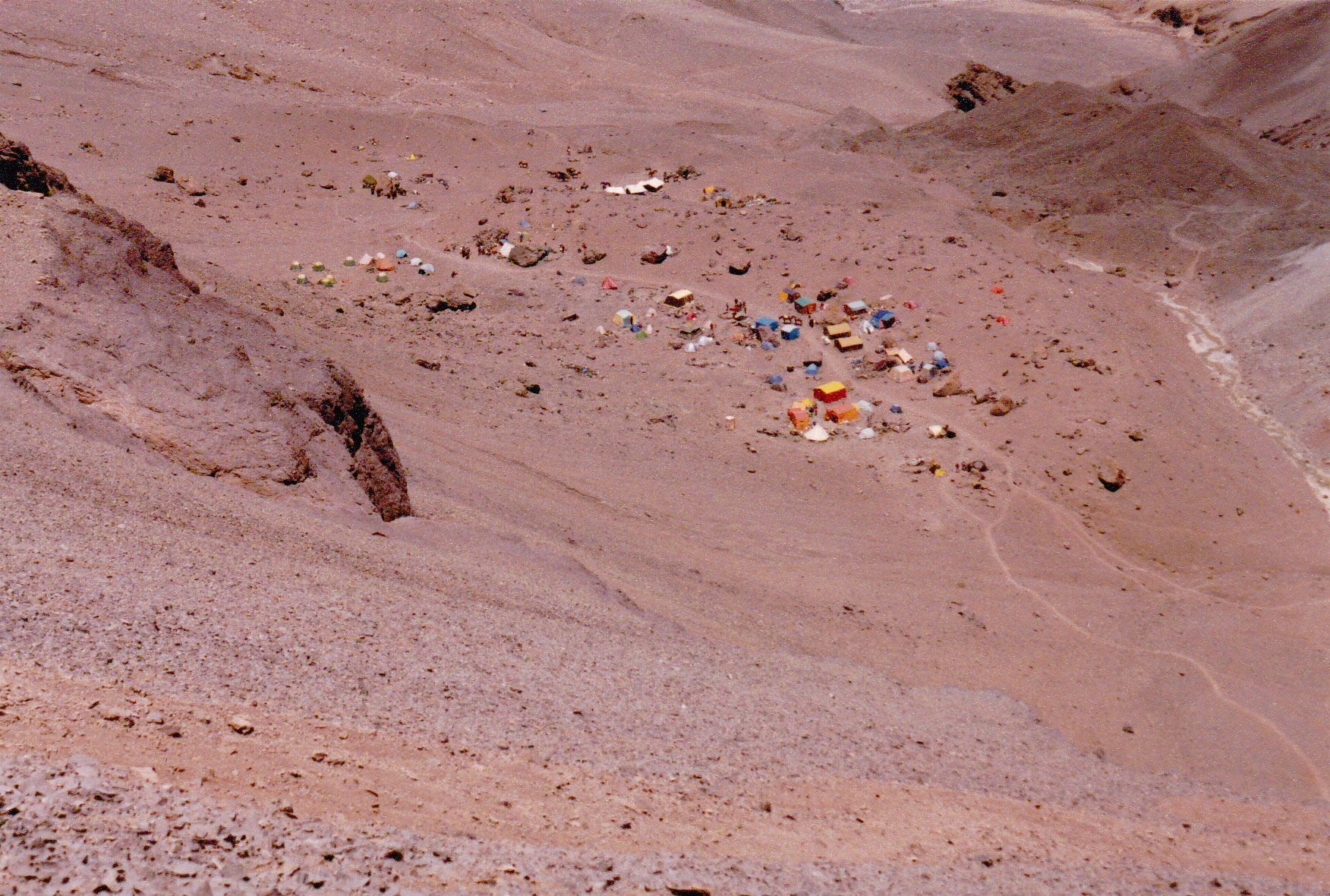
Finally, after the outrageous time of 10 nights spent at 14,000 feet, I left base camp and, with a large load, went back up to 16,000 feet where I retrieved the gear I’d left there 2 days before. I made better time this trip, and with a heavier pack to boot. I set up my tent and spent the night there. That was a new record for me, the highest night I’d ever spent. The next day, I felt unready to continue, so I spent the day resting while a foot of fresh snow fell. After a second night there, I set out with all of my gear, a heavy load. It took me almost 5 hours to climb the snowy slopes to arrive at a large flat area called Nido de Cóndores. “The Condors’ Nest” sat at 17,625 feet and was a popular spot to camp on the Ruta Normal to the summit. Here’s what Nido looked like.
I stomped out a spot for my tent in the fresh snow and spent the rest of the day melting snow for drinks and preparing hot food. I felt quite well here at Nido, with no obvious signs of altitude sickness. The weather was unsettled the next day with more snow falling, so I stayed put, eating a lot and hydrating well. After a second night at Nido (another new “highest” for me as a place to sleep), I set out in the morning for the next higher campsite.
It took me 4 1/2 hours to break trail through fresh snow to reach the camp known as Berlin. There, at an elevation of 19,520 feet, I settled in. Hey, I realized that this was the highest I’d ever been in my life!! It was a busy place, with climbers coming and going. This was the logical spot from which to make a summit bid. The best part was that I felt great, with no symptoms of altitude sickness. Then things ground to a halt. The weather turned stormy, with fresh snow falling every day. I waited, along with others, for things to improve, but they never did.
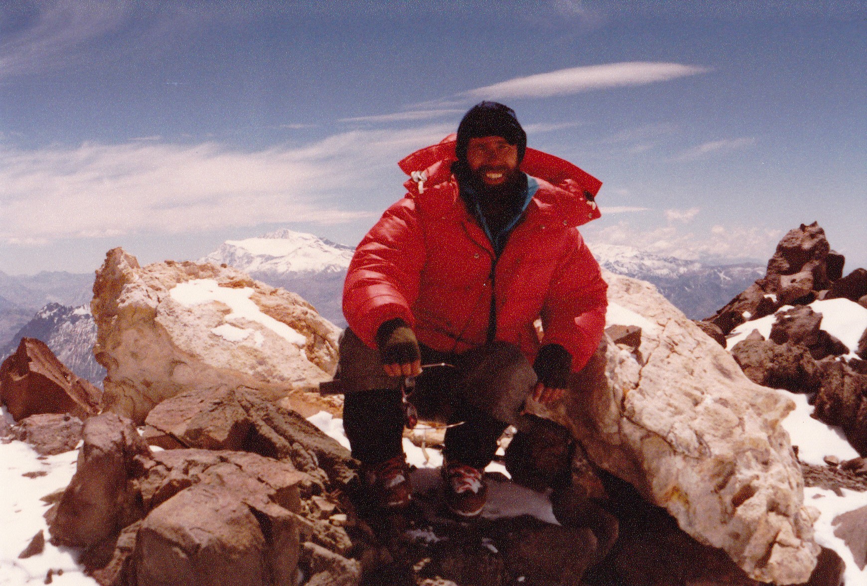
Teams of climbers made sporadic attempts for the summit, but were all turned back by poor conditions above. At one point, there were 3 feet of fresh snow at Berlin. Still I waited. Climbers were returning from unsuccessful summit bids with reports of minus 30 degree temperatures higher on the mountain. Finally, after 5 nights spent there at the same elevation as the summit of Mount Logan, Canada’s highest peak, I called it quits. Nobody had reached the summit during the entire time I was at that high camp. If others, much stronger than I, had all failed, I knew I had no chance to make it. The irony was that I felt great, with no symptoms whatsoever of mountain sickness, but bad weather had sealed my fate. The last day I was there, the 15th of February, a team of 3 had tried for the summit in stormy weather. They returned many hours later, one of them coughing up blood. Here’s a picture someone took of me in one of the rare sunny moments at Berlin. The white peak to the left of me is Cerro Mercedario, at 22,050 feet the 8th-highest peak in the Andes, only 46 miles to the north.
In spite of the foul weather, 7 Argentine soldiers, 5 Spaniards and 10 Canadians arrived, hoping to wait out the bad weather. Fine for them, but I was done. I packed up my gear and headed down the mountain at mid-afternoon. My feet fairly flew, and I made it all the way back to Plaza de Mulas by evening. As I arrived, a couple of young Argentines who recognized me from my earlier days spent there at base camp said “We thought you were dead!” because it’d been so long since I’d headed up the mountain. I was glad to prove them wrong.
Since I’d finally acclimated well in all those days spent high on the mountain, coming back down to the 14,000 feet of Base Camp felt wonderful. There was so much more oxygen to enjoy at that elevation that I felt like Superman. The human body is quite amazing. If we climb high up a mountain, our body senses that there is a change. The percentage of oxygen in the air is the same as lower down, but the partial pressure reduces as we climb higher. Our body wants to gather more oxygen from the air so that we can keep functioning normally, and one way it can do that is to produce more red blood cells.
Experts say that if we gain elevation slowly, say 1,000 feet a day, we have a better chance of acclimating once we’re above 9,000 or 10,000 feet. Our bodies will crank out more red blood cells, slowly but surely, and we’ll be able to stay comfortable although there’s less oxygen up high for us to breathe. It takes time, though – it’s no immediate process. The top of the mountain I had just failed to climb, Aconcagua, sits at almost 23,000 feet above sea level. If a climber gains elevation slowly enough, she could be quite comfortable spending time on the summit, having already manufactured millions of extra red blood cells during a gradual ascent.
Here’s another way of thinking about it. At sea level, what is called the effective oxygen percentage is 20.9%. At the top of Aconcagua, the effective oxygen percentage has dropped all the way down to 8.7%, which means that you will have considerably less than half of the oxygen to breathe up there than you did at sea level. If you could use Star Trek’s transporter to whisk someone who lived at sea level to the top of Aconcagua in an instant, they would immediately feel short of breath and start gasping for air. Within a few minutes, they would pass out. In a short while, they would become comatose and then die. Their body simply couldn’t handle the lack of oxygen – there wouldn’t be enough red blood cells in their body to gather enough oxygen from the thin air to survive. And yet, climbers who move slowly up to such elevations and are well-acclimatized can survive there quite comfortably – amazing, huh?
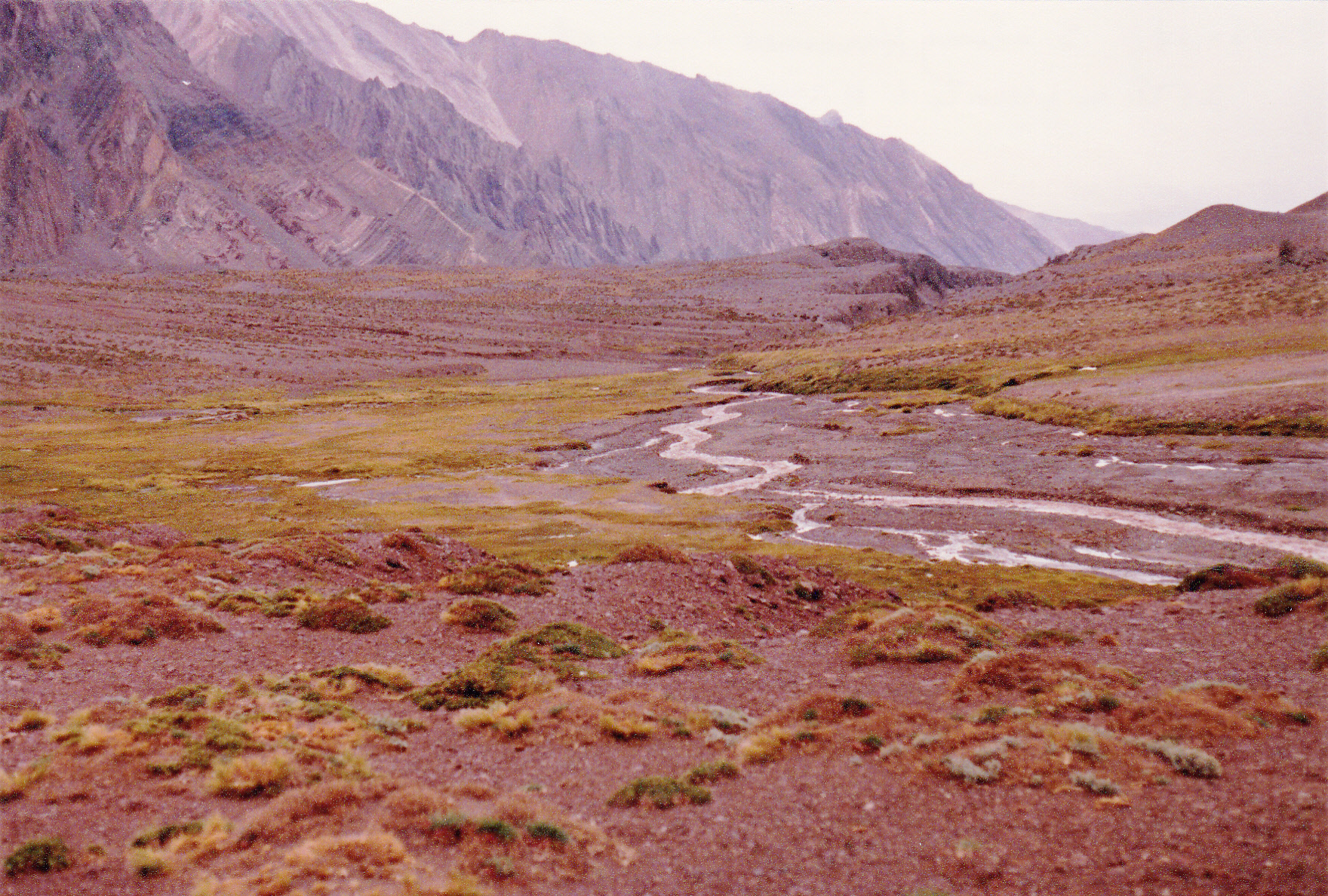
After a restful night at base camp, I packed up all my gear and sent it out on a mule with one of the arrieros. I took my time saying my goodbyes to quite a few new-found friends and only started on foot at 3:30 PM. On the way out, along the valley of the Río Horcones, I finally saw the first signs of plant life at around 11,500 feet.
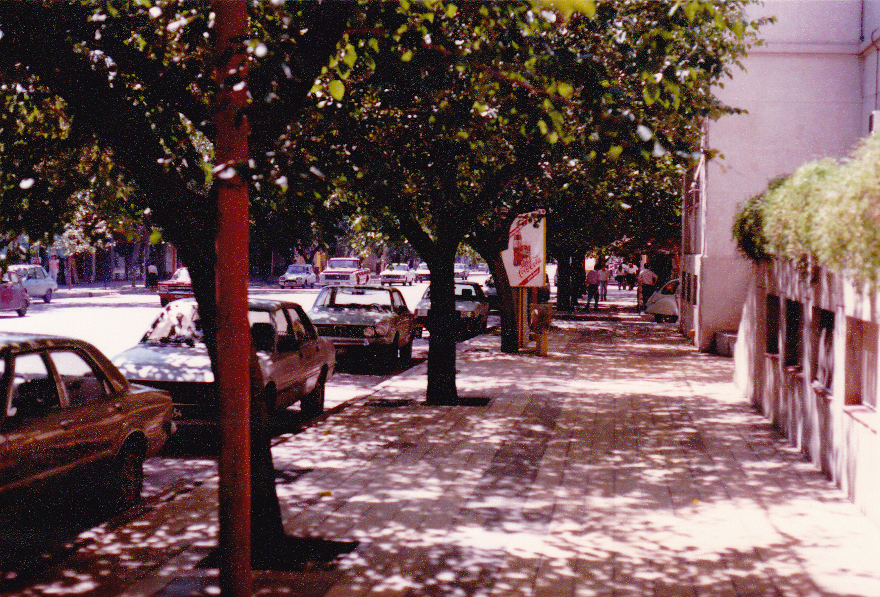
I managed to cover the 26 miles before dark and spent another night at Puente del Inca at 9,000 feet. It turned out that I had spent a full 21 days at 14,000 feet or higher. Because I was so much better acclimatized to the elevation, what it had taken me 16 hours to walk on the way in only took me about 7 hours to do on the way out. The following day, February 17th, saw me back in the city of Mendoza. It was like I had died and gone to heaven, and I spent a glorious week there with climber friends, drinking wonderful Argentine wine and eating sumptuous meals, regaining the 15 pounds I had lost while on the mountain. What a delight to walk the shaded streets and be so comfortable at 2,500 feet above sea level, no deadlines to meet and a lovely, soft bed to sleep in every night.
I think that all that time spent up high had destroyed many of my brain cells, and I’ll tell you why. On the evening of the 18th, I went to an office of the telephone company where I placed a long-distance call to my wife back in Tucson, Arizona. She sounded frantic, and said that we had agreed that the 18th was the absolute deadline for me to call her and let her know I’d made it down off the mountain okay. I told her that I didn’t recall any such arrangement. She said I must be crazy to not have remembered such an important deadline, that we had written it down in my paperwork, and that she was on the verge of contacting the American Embassy to tell them that I was overdue and must have died on the mountain. As God is my witness, to this day I have no recollection whatsoever of having made any such arrangement to call her. I didn’t hear the end of that one for a long time afterwards.
Was I disappointed that I hadn’t reached the summit of Aconcagua? Yes, of course I was. On the other hand, I was glad I’d made it safely up as high as I did and made it down safely as well. Others weren’t so lucky. During my lengthy stay on the mountain, climbers died from freezing to death, edema and a head injury. I guess I was meant for better things.

