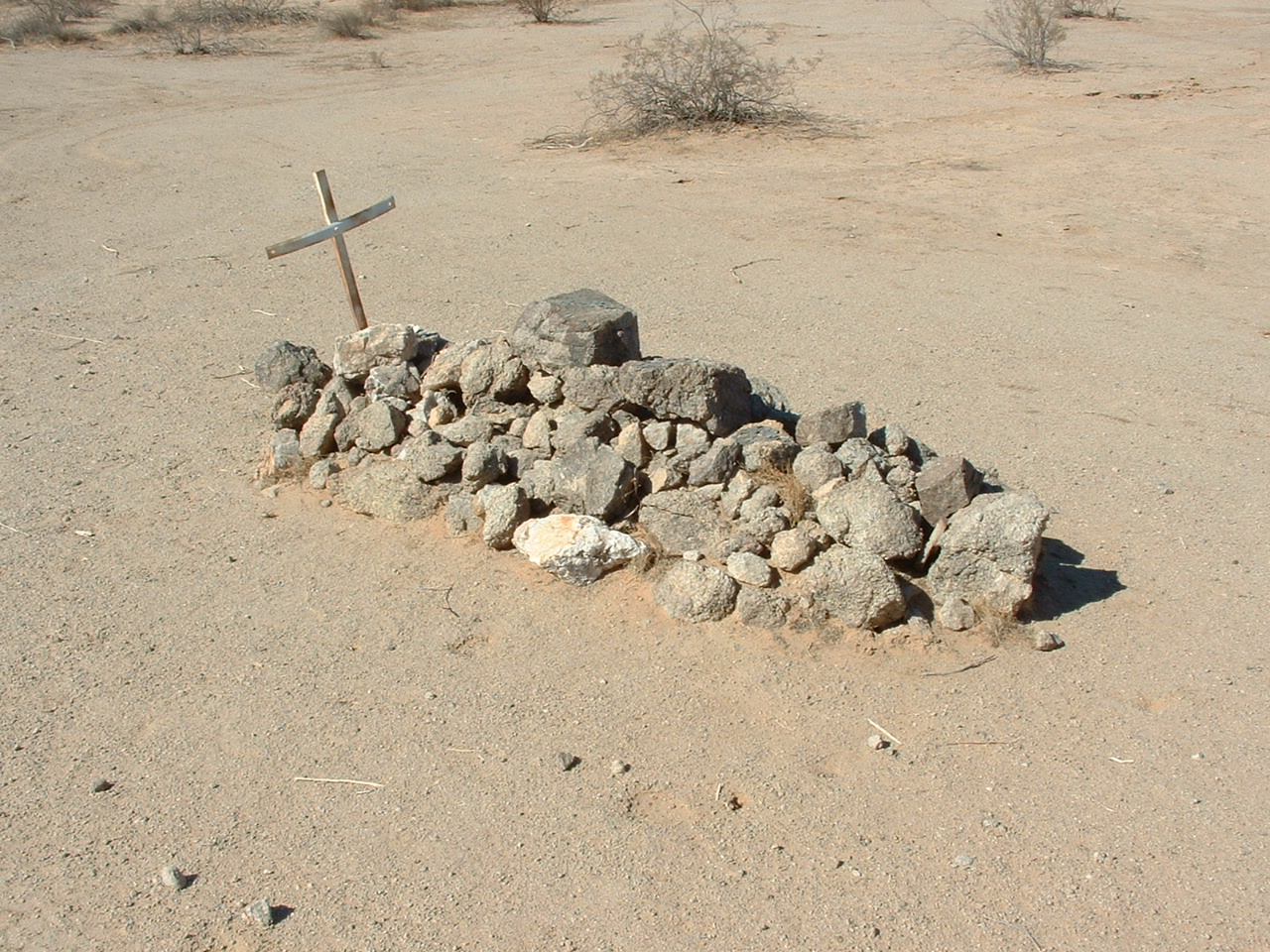
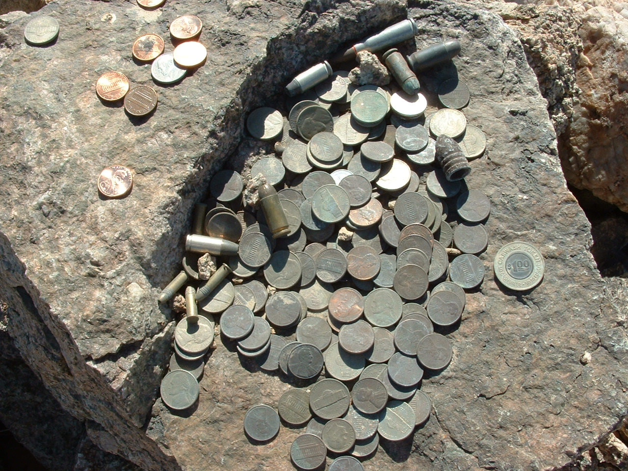
Arizona is an interesting place. Even today, there is much remote country, and as I’ve wandered through its deserts and forests (yes, we have forests!), I have been surprised by how many times I’ve come across cemeteries and graves in the most out-of-the-way and unexpected places. I did a survey of place names on Arizona’s topographical maps and found a total of 147 named cemeteries, but I also found 9 places where there was just a “grave” or “graves” shown (I know there are many more than that, though – most are obscure and unknown). Here’s one that’s well-known to desert travelers. Located along the infamous Camino del Diablo, it’s shown on the map as O’Neill’s Grave. It sits in O’Neill Pass in the middle of the O’Neill Hills. It is said that one Dave O’Neill, a prospector, died in 1916 and was buried here. Passers-by leave coins and even bullets on the grave, maybe for good luck? US, Mexican and even Euro coins have been left there.
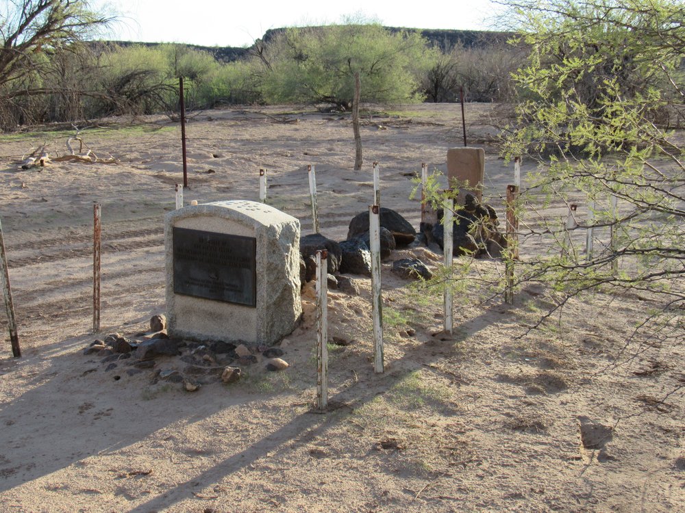
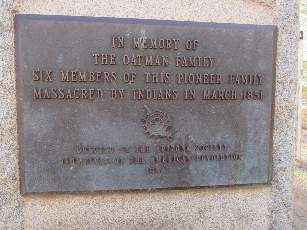
There’s an obscure memorial to the Oatman family hidden deep in the desert. If you know where to find it, here’s what you’d see.
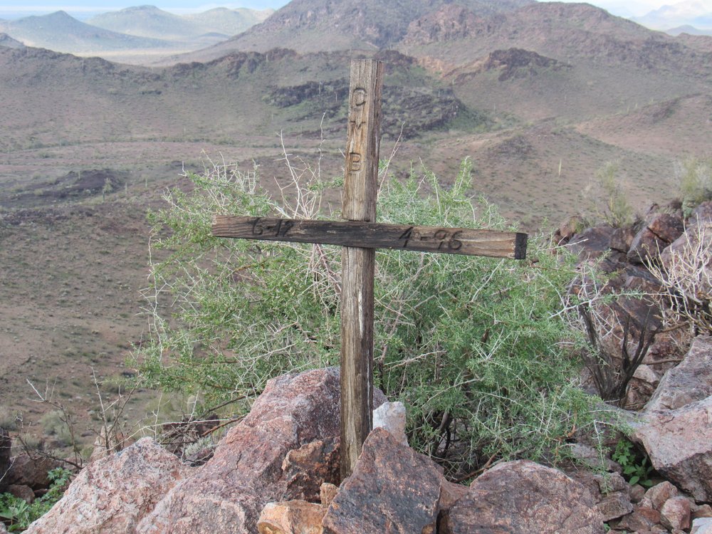
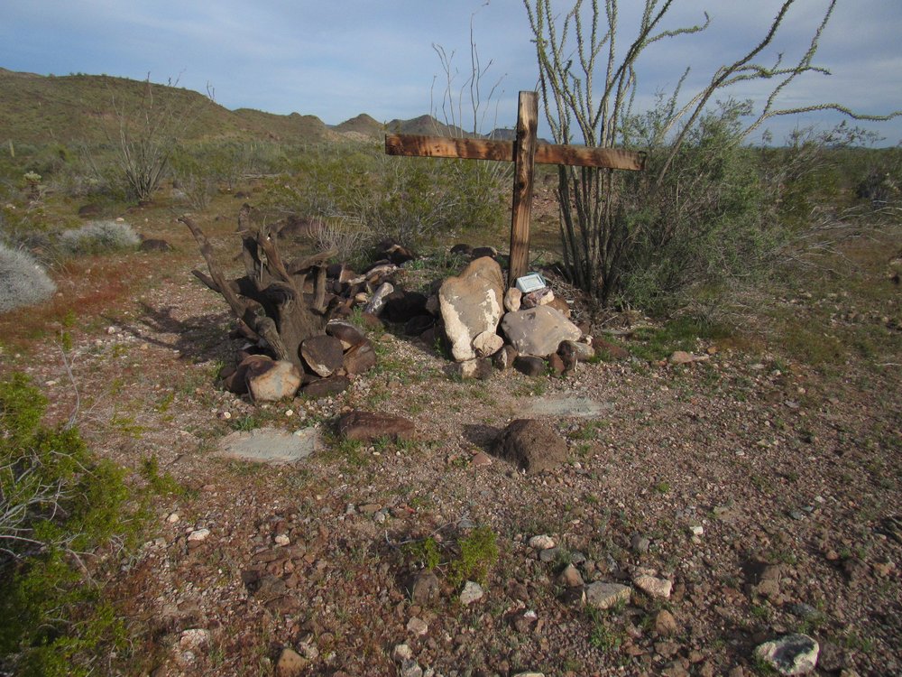
Sometimes, there’s just a simple marker like this one, a cross remembering someone with the initials CMB, who apparently lived from June of 1912 to April of 1996. This was found atop the remotest of summits in the Clanton Hills.
I have been to places in the desert that bring to mind a possible death, but all I knew for certain was the curious name without any details. Deadman Gap; Charlie Died Well; Cemetery Ridge; Suicide Valley; Skeleton Mesa; Dead Mexican Creek; Slaughter Mountain; Canyon del Muerto; Skull Canyon.
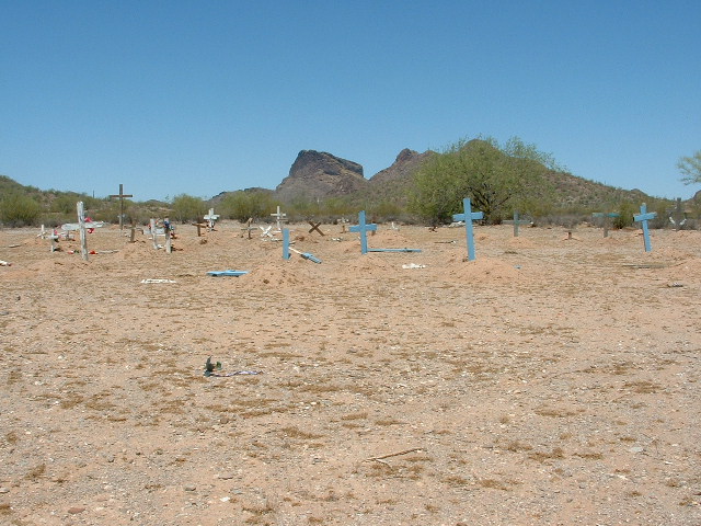
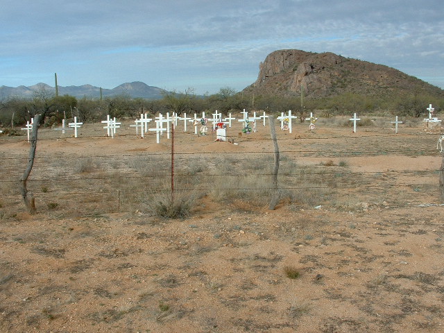
One of my favorite parts of the state is the Tohono O’odham Indian Reservation. There are many small villages there, each with its own graveyard. It was obvious that, as a people, they highly respect their dead. It is their custom each year on November 1, the Day of the Dead, or Día de los Muertos, to go to every burial place on their nation and tidy up the graves. Many of these are in remote places where the village no longer has any inhabitants and has become a ghost village. For example, here is the cemetery for what once was the settlement of Chiapuk. I counted 72 graves, but the village has been abandoned these many years – it never had more than 10 houses.
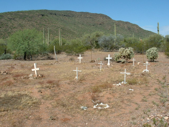
In another remote corner of the reservation sits this tiny cemetery, the resting place of a dozen souls. It is hard by the site of what used to be Siovi Shuatak, abandoned for a great many years. In August of 2005, I almost died from heat fatigue while climbing on a 106-degree day near here, and was glad I didn’t end up being the newest occupant of this graveyard.
None of the graves in the previous 2 photos were marked and yet, every year, descendants of those buried there come out to tidy things up.
There’s another hamlet called Comobabi, which boasts 18 homes but, sadly, only 8 residents these days. There is an old graveyard up the hill, but it is being reclaimed by the desert. A newer graveyard sits on the eastern edge of the village, and it has 120 graves. Many of them are well-marked with modern stones. Can you imagine how many years it must have taken such a tiny hamlet to populate such a large cemetery?
Sitting only 4 miles from the Mexican border is a lonely graveyard near a peak called Nachi Kulik. The graves are well-tended, but this place is nowhere near any village, past or present. It’s a mystery why it sits where it does, alone out in the desert. I counted about 40 graves, and couldn’t help but wonder where these people had lived before being buried here.
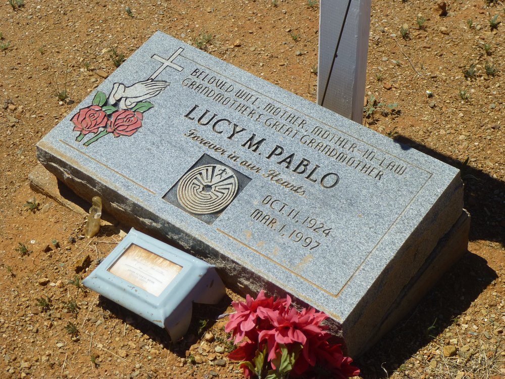
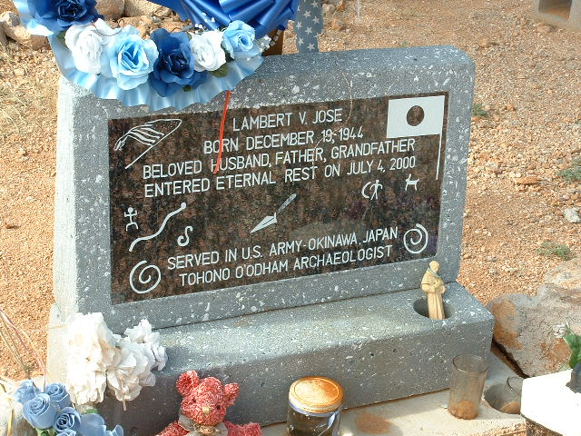
Some had modern headstones like this one.
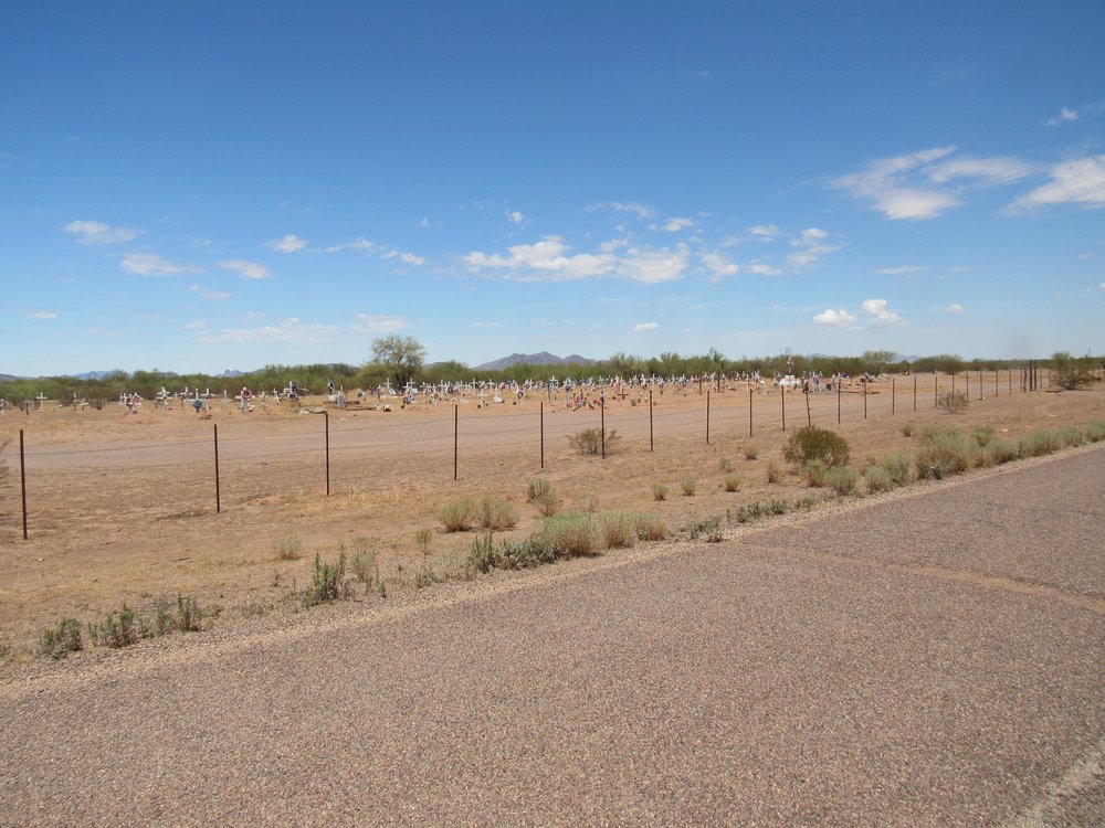
Here’s another one on the reservation where the inhabitants of the cemetery far outnumber those living in the village. Cemetery – 325; Ak Chin village – 96 today.
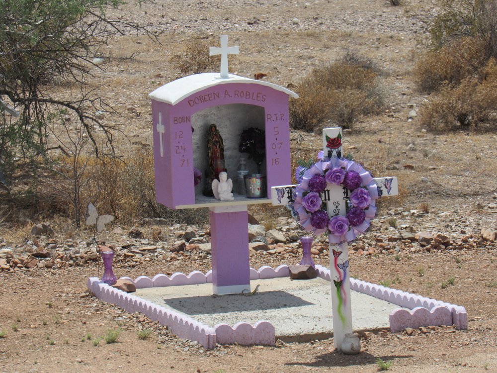
Scattered around the reservation are many roadside shrines like this one. Nobody is buried at any of these, but they are placed there simply to honor the memory of someone who has passed.
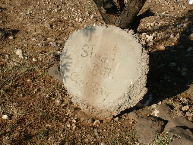
Another village on the reservation which has lost all of its population is Stoa Pitk. At the entrance to the cemetery sits this roughly-made sign of concrete, with the O’odham name for the village.
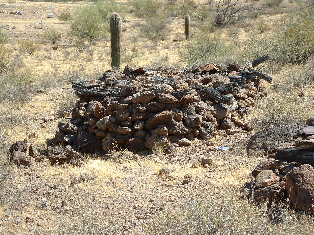
The village may now have a population of zero, but its cemetery contains 65 graves. About 25 of them are of a very old style, where a large pile of rocks covers the grave. I don’t know how long ago the O’odham people stopped making graves like these, but I would think it has been a great many years.
Here’s a bit of history uncovered by climber friend Andy Martin:
The dead were buried in a rock crevice and covered with stones or in a stone cairn roofed with logs. To accompany the spirit on its four day journey to the Underworld in the east, food and possessions were also interred with the body. A short speech by a relative usually accompanied burial. In this speech, the deceased would be asked not to return.
The previous photo shows exactly that, a stone cairn roofed with logs. I felt fortunate to be able to see one of these old-style graves.
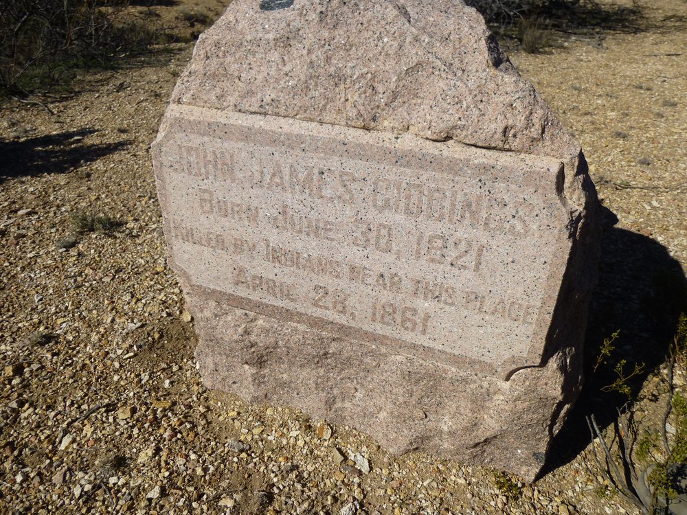
One day, Dave Jurasevich and I climbed a peak in eastern Arizona only a mile from New Mexico. It was along the path of the Butterfield Trail, a stagecoach service that carried mail and passengers from St. Louis to San Francisco. We discovered this pink granite headstone marking the spot where one of the company’s employees died way back in 1861. It had been placed by a historical society which felt that the deceased, one John James Giddings, deserved better than the unmarked grave which sat there, almost forgotten, for more than a century and a half. If you click on this link, it will open a map of nearby Steins Peak, and in the upper left you can see the word “grave”. If you click on the map, it’ll open it up and show you more of the area. That’s where this picture was taken. It’s out in a remote spot in the Chihuahuan Desert.
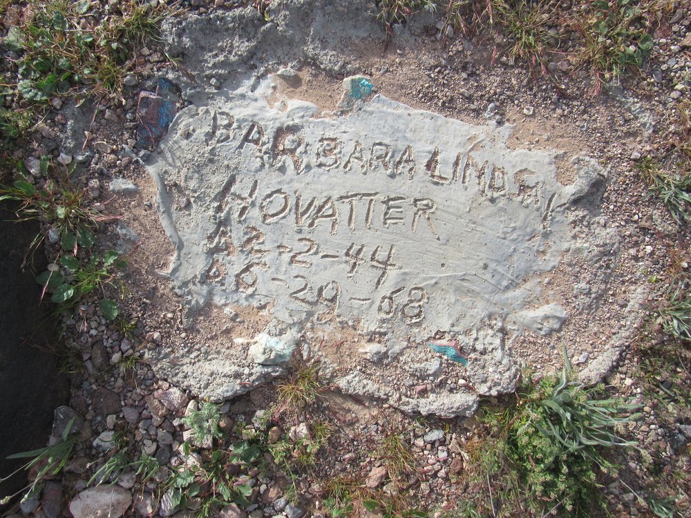
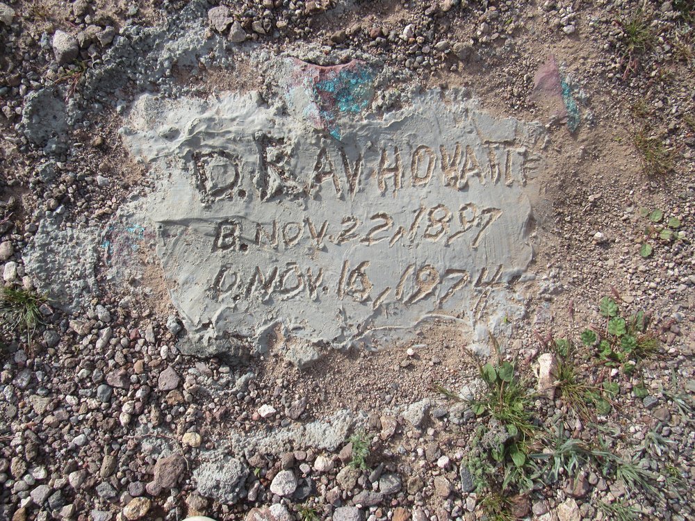
Another remote burial I encountered was out in a forgotten corner of the Little Horn Mountains. If you click on this link, it will open a map. Click on the + sign to zoom way in, and you will see the word “graves”. That is where these next photos were taken. The Hovatter family had spent decades eking out a living way out here where life was very hard indeed. This photo shows the spot where they are buried.
No headstones, just a rude scrawl in a bit of concrete. Here is the one for Barbara Hovatter who lived from 1944 to 1968.
Here’s the one for D. Ray Hovatter, 1897 to 1974.
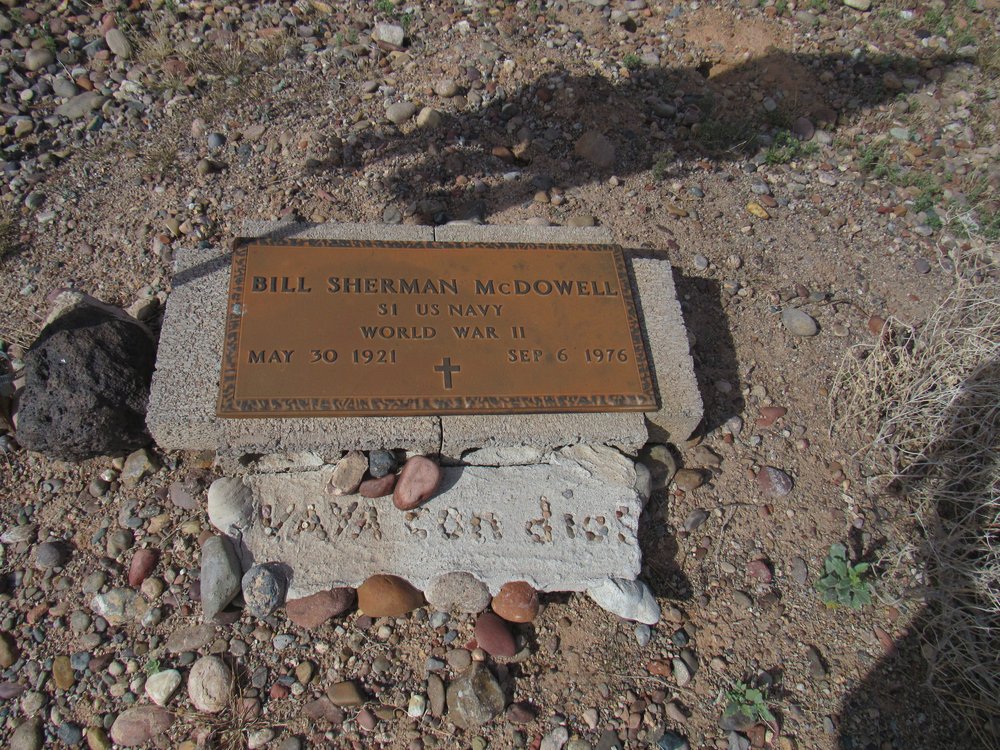
Near the hamlet of Agua Caliente, Arizona sits the Pioneer Cemetery. Many of those buried there are military veterans, such as this man.
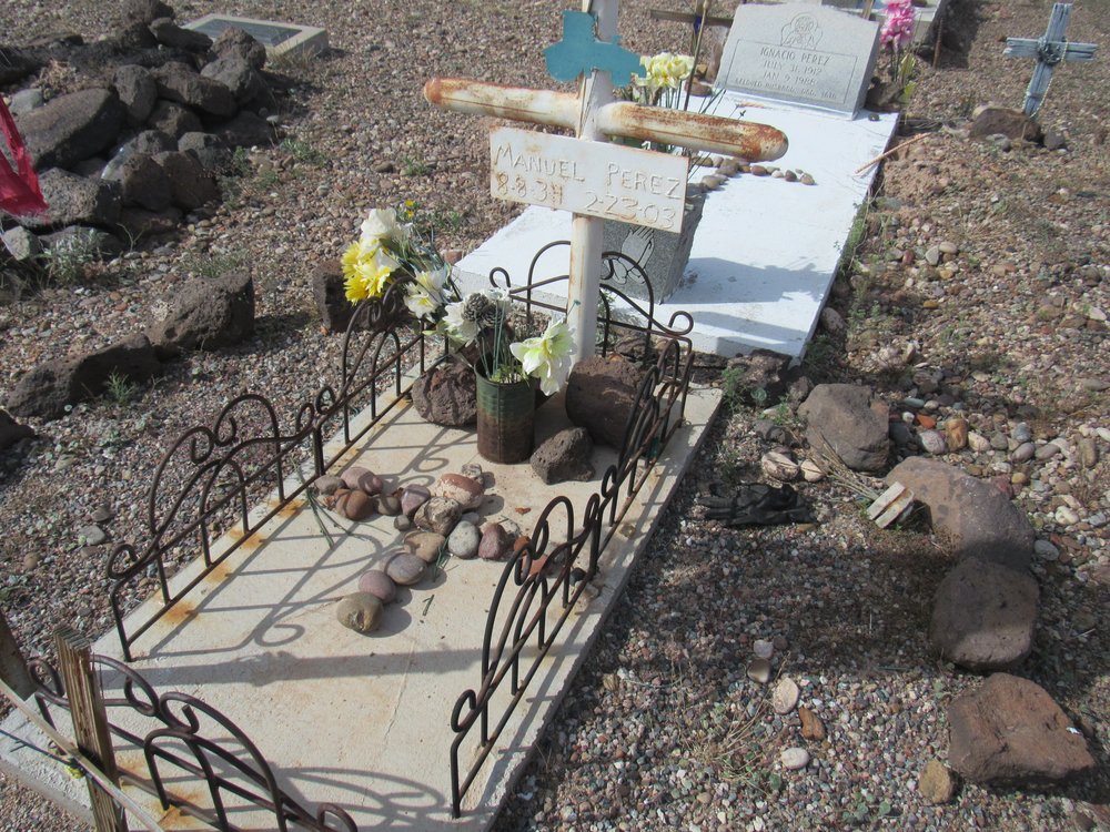
There are also civilians present.
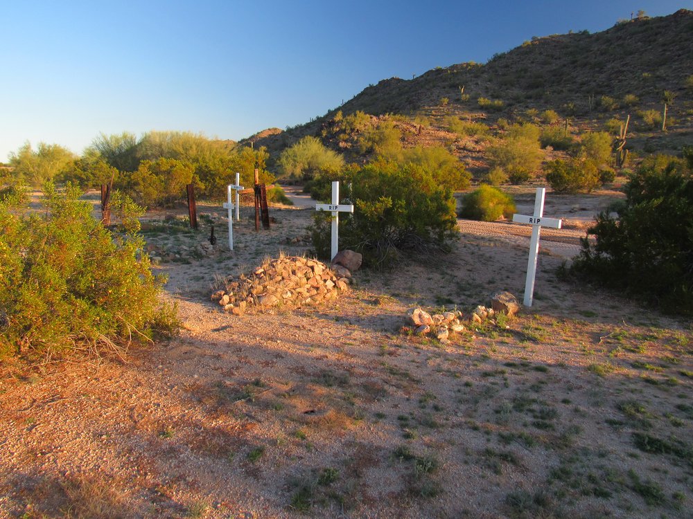
As I was perusing my maps one day, I saw the letters “cem” beside a lone peak, right by a railroad and a highway. I went to have a look, and found this.
There were 6 graves, all with recent wooden crosses, and the only thing written on any of them was “RIP”. Somebody felt these were important enough that they had made and placed new crosses, but my research didn’t reveal any information about who was buried here and when. There are many places like this in the desert – lonely graves, unmarked and forgotten.
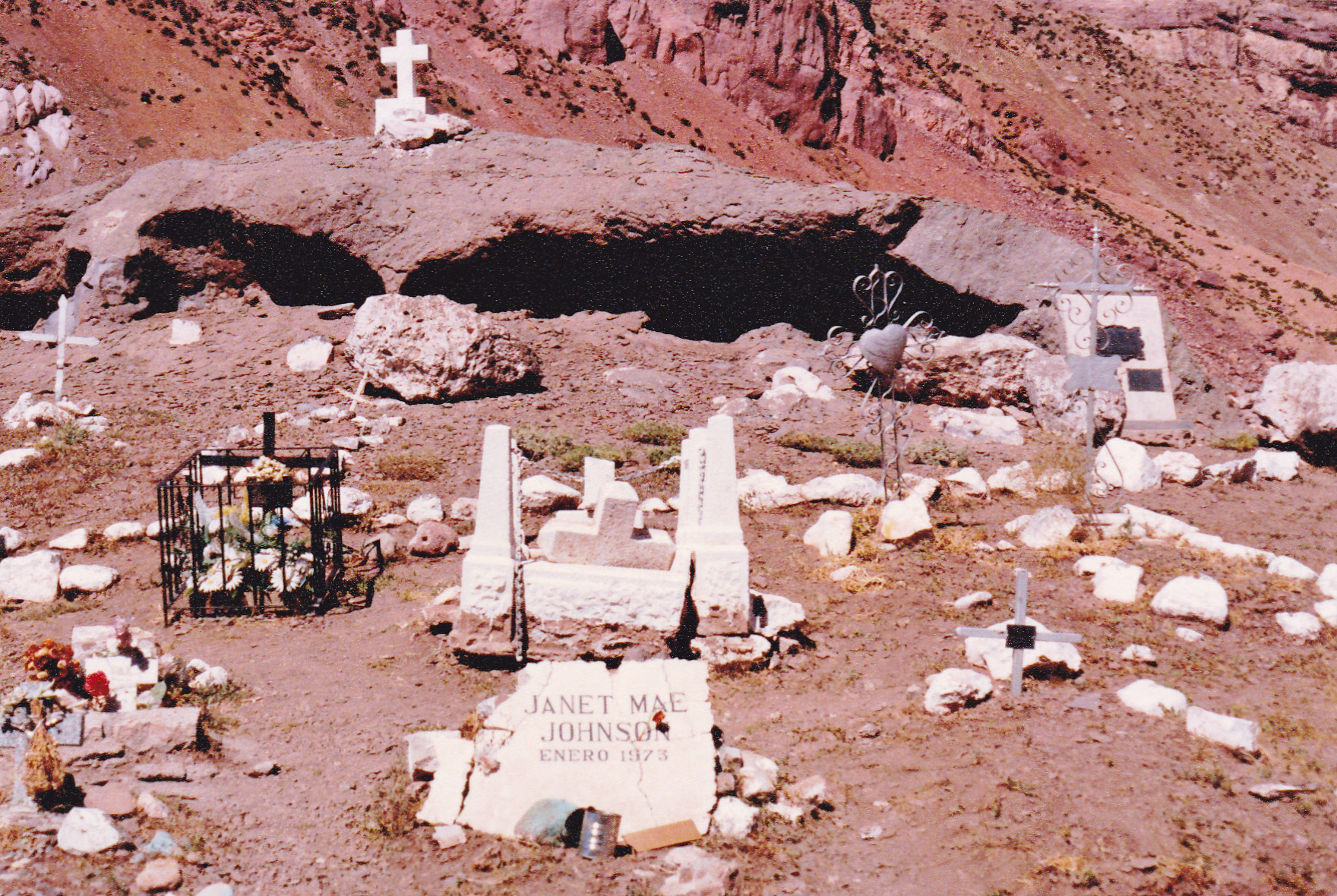
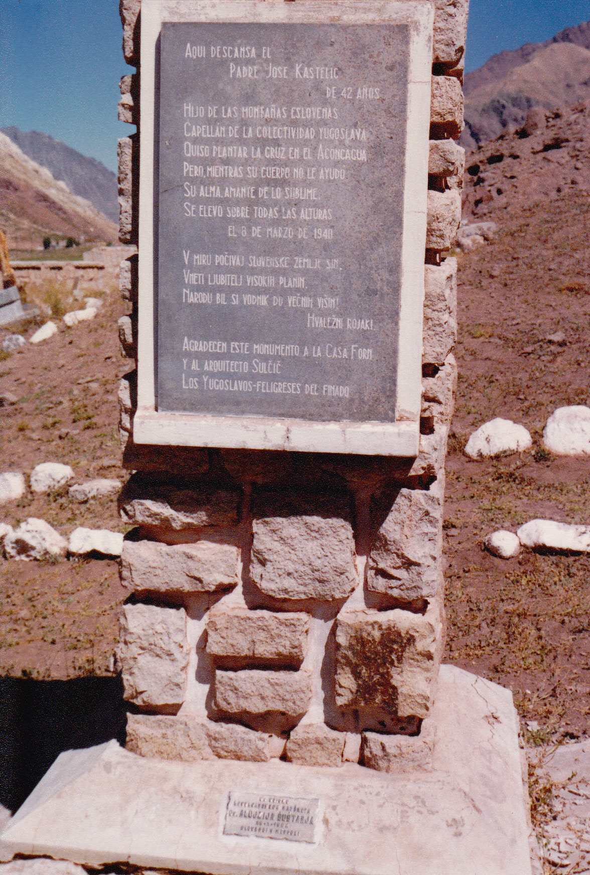
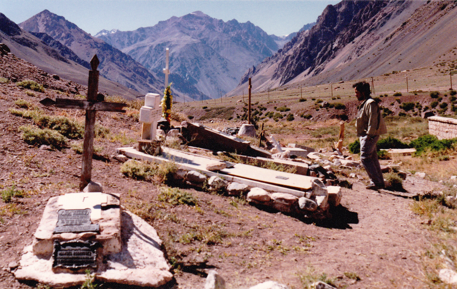
One graveyard I visited in 1990 was full of mountain climbers. Cerro Aconcagua in Argentina kills some every year. The only period for which I could find accurate records was from 2001 to 2012 – the park medical service records show that 33 died on the mountain in those years, for an average of about 3 each year. More than that died the year I was there. I counted more than 60 graves during my visit in 1990 in the cemetery by Puente del Inca. It was a sobering visit, I can tell you.
Men and women, young and not-as-young, from many countries – Aconcagua had claimed them all, and they had found their final rest here. At least this was a mountain from which they could retrieve the bodies, unlike some ranges such as the Himalayas where that’s much harder to do.
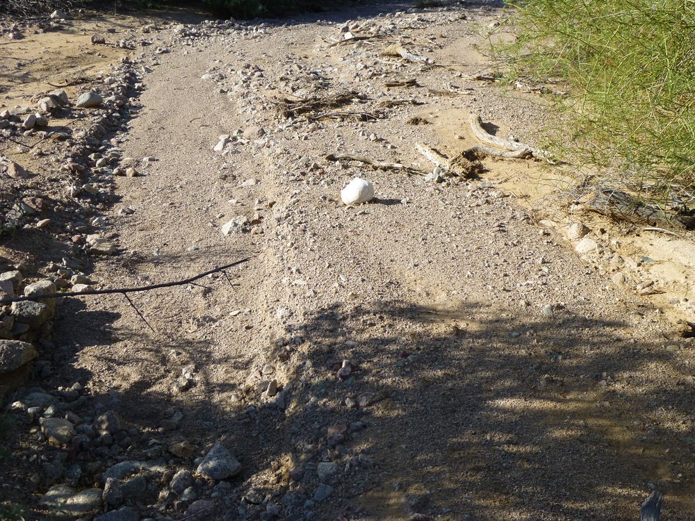
Nearly all of us will choose to either be cremated or buried upon our death. A rare few will find that, regardless of their choice, neither will happen. I have met 2 such individuals in the remotest parts of our desert. The first was with Jake back in October of 2013 while we were peakbagging only a mile from the Mexican border in the Agua Dulce Mountains. We were shocked to come around a corner and discover this. See the white thing?
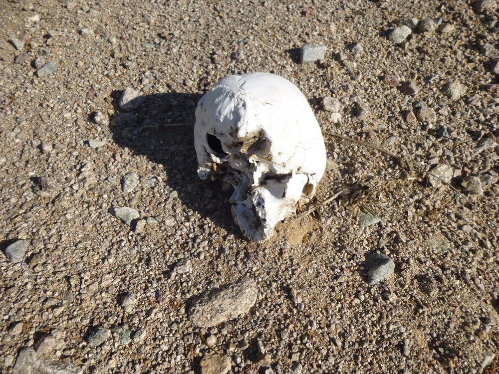
Here’s a closer look.
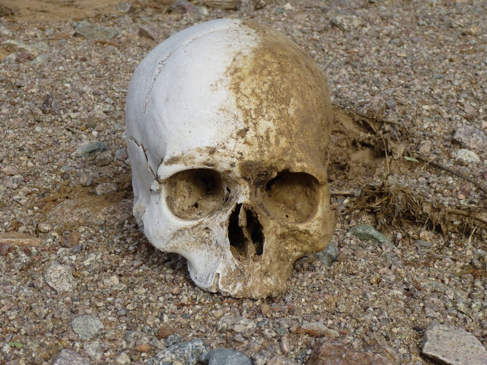
We moved it to better document what we’d found, then set it back in its original position.
We had no way of knowing who this was – male or female, young or old, which nationality? Nor did we know how long the skull had lain there. Jake and I were both shocked, to say the least. It was almost certainly an undocumented border-crosser, but how sad that they’d only made it a single mile into the U.S. on their journey to the promised land. We noted the GPS co-ordinates of the spot and later reported it to the authorities.
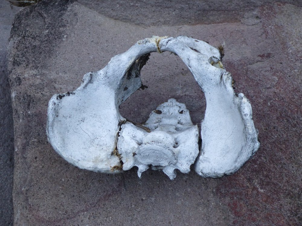
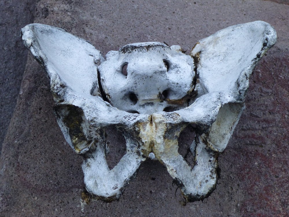
I found one other person who had no say in their final resting-place. She had died in a remote canyon in the Ajo Range. I found her in a dry creek bottom, almost hidden by thick vegetation. I moved this female human pelvis on to a rock out in the open so I could document her position for the authorities.
The canyon in which I found her remains was so hostile and desperate a place, it was hard to imagine why she had been there at all. Even more puzzling was the fact that she must have been totally confused about her location, as she would have been going up the canyon back towards Mexico. There is little doubt that she was an undocumented border-crosser. I found no other bones at that place, so animals had probably scattered them. Of course, I reported this location to the Organ Pipe Cactus National Monument authorities.
I don’t know if the desert is different than other places in this way – is it possible that we have more graves of unknown origin? Perhaps if you live alone and die alone out in a remote place, is there a greater chance that you would just be buried where they found you? Maybe it’s just me, but I find it kind of sad to think that you got buried in a grave with no headstone, no marker, no indication of who you were. As the years pass, the desert reclaims every trace of your final resting place, so that in the end only a notation on a map shows that some forgotten, nameless soul had been buried there. That’s the case here. If you click on this link, it will take you to a map. Use the + sign to zoom in until you see the word “grave”. The map was created in the year 1986, and the grave is shown as being on the Luke Air Force Range. This is an active military bombing range which has been in existence since 1941. We can assume that the grave predates the bombing range, so it has been there at least 80 years. Sadly, there’s no longer any trace of the grave whatsoever. I hope that we all fare better than some of these forgotten souls when our time comes.

