In the fall of ’72, my buddy Mike and I decided to hitchhike across Canada. Back then, hitchhiking was considered a pretty common and reasonably acceptable way of getting around – we lived in Vancouver and certainly did our fair share of it. Wikipedia has this to say about the practice:
Hitchhiking is a means of transportation that is gained by asking individuals, usually strangers, for a ride in their car or other vehicle. The ride is usually, but not always, free. Itinerants have also used hitchhiking as a primary mode of travel for the better part of the last century, and continue to do so today.
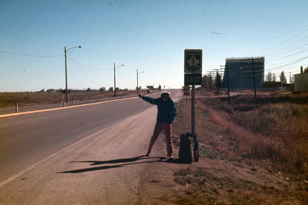
For those of you who have never done it, there’s not much to learn. Aside from tricks of the trade that are shared in the hitchin’ world, things like the best places to stand to catch a ride, the main thing you need to know is the pose. You stick out your hand like this and wait to get picked up – that’s it! The pose is pretty much universally recognized. I personally have used it in at least 10 different countries, and if you’re standing there at the side of the road with your thumb raised, people seem to know that you’re asking for a ride.

So sit back and come along with me and Mike as we thumb our way across the country.
Day 1 – Sunday, October 1st, 1972
Ride #1 – Vancouver to Highway 9 junction
Our adventure begins on Canada’s west coast. It was exciting to think of all of the unknowns we were about to face, but we felt ready. We got up early and were waiting for our friend who came to pick us up. She had kindly agreed to give us a ride out of the city. I don’t think she planned to drive us as far as she did, but probably felt sorry for us because it was raining. She dropped us at the freeway exit that leads north to Agassiz via Highway 9.
Ride #2 – Hwy. 9 jct to Hope
It didn’t take us long to catch our second ride, which took us to Hope, BC.
Ride #3 – Hope to Keremeos
Once we got to Hope, our luck changed. We stood there for 3 hours in the rain, which was discouraging. This is the town they used to film many of the scenes of the Sylvester Stallone movie First Blood, one of my personal favorites. The movie wasn’t made until 10 years after Mike and I were there, so fortunately for us Brian Dennehy wasn’t there to run us out of town! Finally a guy in a truck picked us up and drove us east into the mountains and out of the rain. He drove us all the way to Keremeos, where we were back in sunshine.
Ride #4 – Keremeos to Penticton
We didn’t have to wait long for this one. The sunny weather held – hey, we were now in the Okanagan Valley, where you’d expect a lot more of that.
Ride #5 – Penticton to Kelowna
This ride also happened pretty quickly, from the one city to the other. Fortunately we got dropped off in places where we didn’t have to walk through a lot of the city to arrive in a good spot to continue hitchin’.
Ride #6 – Kelowna to Vernon
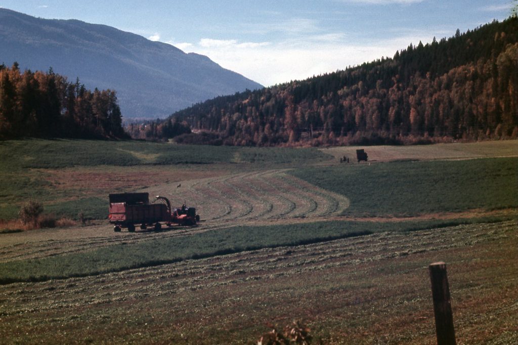
Made it! The goal for our first day on the road was to make it to Vernon, where our friends Joe and Ginny lived. Here we would take a break from our travels and just enjoy their company. Over the next couple of days, they took us sight-seeing in the area.
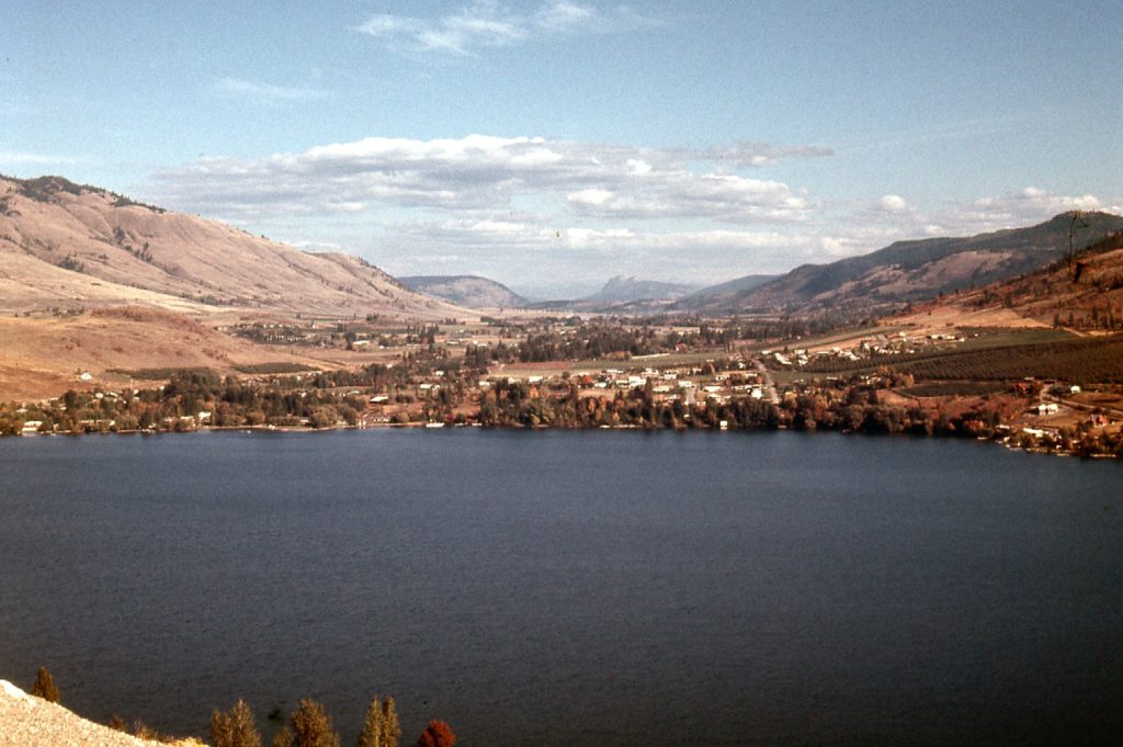
We even went canoeing on nearby Kalamalka Lake.
Our friends took awfully good care of us, making us feel very welcome. Those were halcyon days indeed, and it was with heavy hearts that they ended. Had we known what was about to come, we might have never left!
Day 2 – Wednesday, October 4th, 1972
Ride #7 – Vernon to Armstrong
Ginny kindly drove us several miles to the small town of Armstrong and dropped us off at a good spot. It was sad to say goodbye, but there was a part of us that was excited to resume our adventure.
Ride #8 – Armstrong to Enderby
After a short wait, a guy picked us up and took us to the next town called Enderby.
Ride #9 – Enderby to Canoe
We didn’t have to wait long, and a fellow gave us a ride north to the village of Canoe on the shore of Shuswap Lake. This put us back on Highway 1, known as the Trans-Canada Highway. This was the same highway we had left at Hope, and it would now be our path across most of the country.
Ride #10 – Canoe to Sicamous
This next ride came quickly, and although it was a short one, it was much appreciated. Sicamous was a bigger town than Canoe. It had the advantage of catching the traffic that was coming up from the Okanagan that was then heading east, as well as all the traffic eastbound along the TCH.
Ride #11 – Sicamous to Calgary
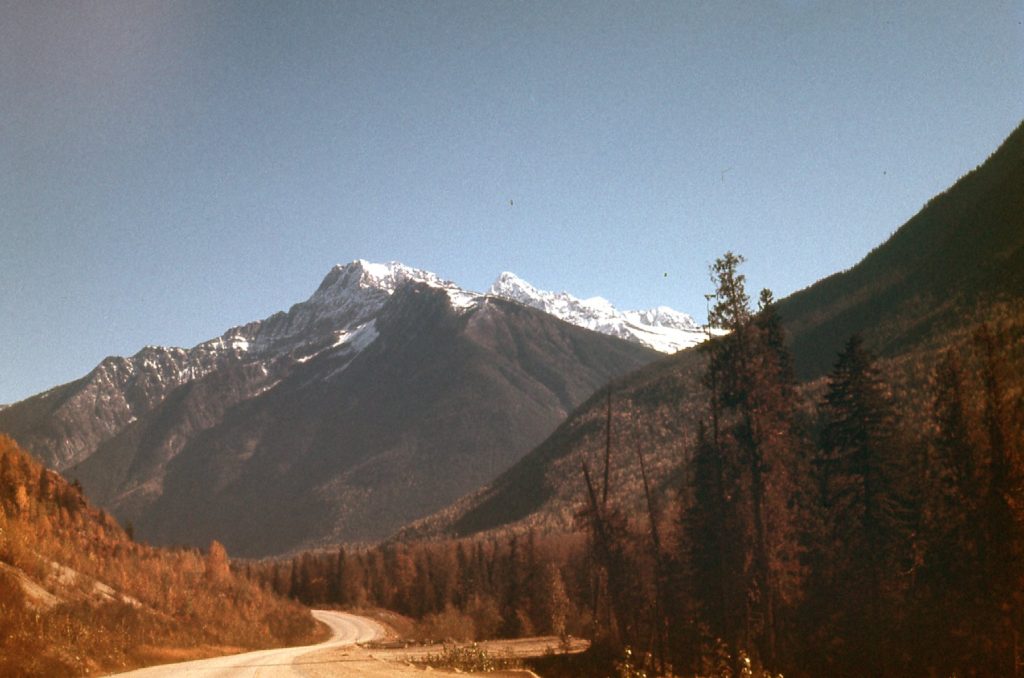
It was our lucky day, as we soon caught our next ride. An older man stopped and said he could give us a ride all the way to Calgary – holy crap, that was 380 miles! It was like we had died and gone to heaven, we were so excited. It was a bright, sunshiny day with nary a cloud in the sky. Near Revelstoke, we started to get into some serious mountain country.
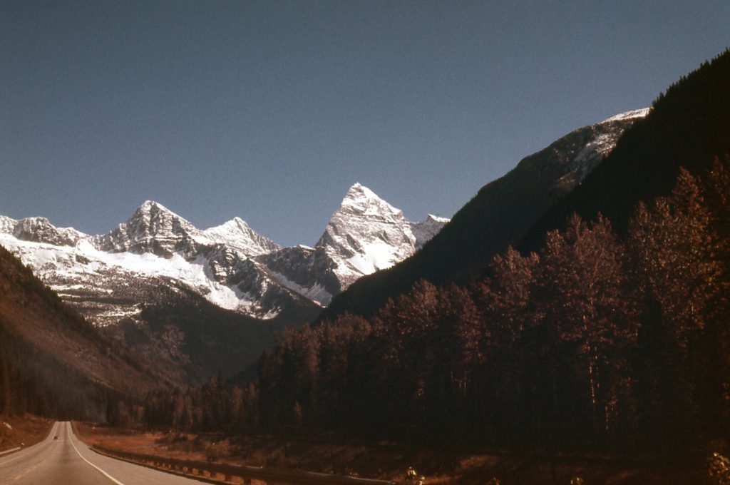
Not far beyond that, we went through Rogers Pass which has some of the best mountains to be found anywhere. The big, steep mountain in the middle of the next photo is Mount Sir Donald. Its northwest arête, which is seen on its left side, is featured in the book Fifty Classic Climbs of North America.
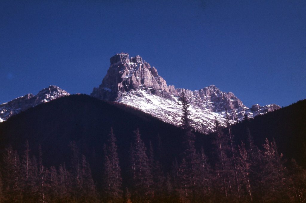
Through Rogers Pass, we soon arrived at the town of Golden, then kept right on going. A short while later, we passed the village of Field, the last community in British Columbia. More amazing scenery surrounded us. This is Cathedral Crags, just east of Field.
The miles rolled past – Lake Louise, Banff, Canmore. Soon the skyscrapers of Calgary appeared on the eastern horizon, and before we knew it we rolled into town. It was late afternoon. Our ride kindly dropped us off on the east side of the metro area where we stuck out our thumbs and waited – and waited some more. Night fell. We were cold and tired, holding out as long as we could. We had an ace card that we’d hoped not to play, but finally gave in. Making our way to a pay phone, we called some friends who kindly agreed to come and get us. They took us to their home and fed us, then gave us a place to sleep for the night. Thank goodness we caught them at home.
Day 3 – Thursday, October 5th, 1972
Ride #12 – Calgary to Brooks, Alberta
In the morning, our friends drove us back out to the highway. The weather was clear and cold. We only had to wait 2 hours, then got picked up by a couple of long-haired hippie freaks – we felt right at home with them. Now before I continue, I need to tell you about a couple of towns out on the Canadian prairies that had a terrible reputation for hitchhikers – terrible in the sense that you didn’t want to get stuck there, as you could be in for a very long wait. Three of those spots were in Alberta: as you headed east, the first one you came to was Bassano; the next was Brooks; the third was Medicine Hat. Brooks was revered as the worst of the three. It was so bad, in fact, that it was known as the “Wawa of the west”. You might wonder, what is Wawa? More on that later. These guys took us right through Bassano and dropped us off at Brooks. Uh-oh! How would that work out?
Ride #13 – Brooks to Medicine Hat, Alberta
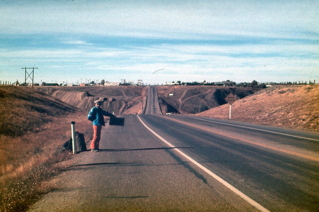
Wow, it was our lucky day – we only had to wait one hour at Brooks – hallelujah!! A businessman picked us up and took us to Medicine Hat, and was kind enough to drop us off on the east side of town where we could continue most easily. I know you can’t read the sign very well, but it reads “Spain” which really was our end goal – we just needed to get across Canada first. Another of my favorite hitchhiking signs, which we didn’t use on this trip, was “Home To Mother”.
Ride #14 – Medicine Hat to Swift Current, Saskatchewan.
Trying to get out of Medicine Hat really sucked – we spent 5 hours there with no luck. My cousin and her family lived there, but we didn’t want to bother them, so we just kept at it. In the dark, at 7:15 PM, we caught a break. A semi pulled over, a big truck hauling the mail. He took us to Swift Current, but also told us that if we could make it to the east side of Regina by 3:30 in the morning, he’d keep an eye out for us and pick us up again and take us all the way to Winnipeg. Now that was something to shoot for. After a while, Swift Current started to seem like an impossible place for us to catch a ride. Finally, after two hours of freezing our asses off, I walked over to a nearby gas station and begged a ride from a young man filling his tank – he seemed a bit surprised by my asking him, but he kindly agreed to take us east into the night.
Ride #15 – Swift Current to Regina
This kindly soul took us all the way to Regina, the capital of Saskatchewan, and dropped us off on the west side of the city at 2:00 AM. We were still hoping to catch that promised ride in the mail truck, so we started walking. It was slow going with full packs as we walked all the way across the south side of the city on the freeway. It was cold, so walking warmed us. Nobody would pick us up as we walked, so by the time we reached the agreed-upon pick-up spot, 3:30 had come and gone – our mail-truck ride had already left. We shivered in the cold trying to catch a ride, but to no avail. Finally, we walked over to the nearby Husky station and headed in to the diner. What a relief it was to get out of the cold!
Day 4 – Friday, October 6th, 1972
Ride #16 – Regina to Ignace, Ontario
Once in the warmth of the diner, we figured out that the cheapest thing we could order was oatmeal. Not only was it cheap, it was hot and filling, and we could load it up with cream and brown sugar at no extra cost. At the price, it was worth a second bowl. We nursed that porridge as long as we could, until they were ready to kick us out. Finally, the sun rose at 7:00 AM – at least now we could hitch in the sunshine. I can’t remember the exact details now all these many years later, but outside we ended up helping a young guy named Dan with his Volkswagen. He was grateful, and offered us a ride – he was heading east as were we, so it was perfect. We made it all the way to Winnipeg by two in the afternoon, then just kept going. A while later, we had passed all the way through the province of Manitoba and had entered Ontario. We drove until dark, at which time we arrived in the town of Ignace. We were all traveling on the cheap, and when we saw how expensive motel rooms were, it was decided that we’d all sleep in the car. It had been a great day, with many miles under our belts.
Day 5 – Saturday, October 7th, 1972
Ride #16 (continued) – Ignace, Ontario to Sault Saint Marie
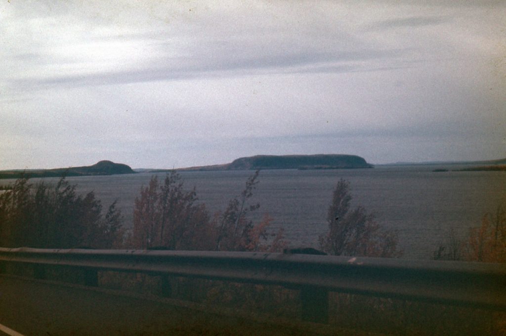
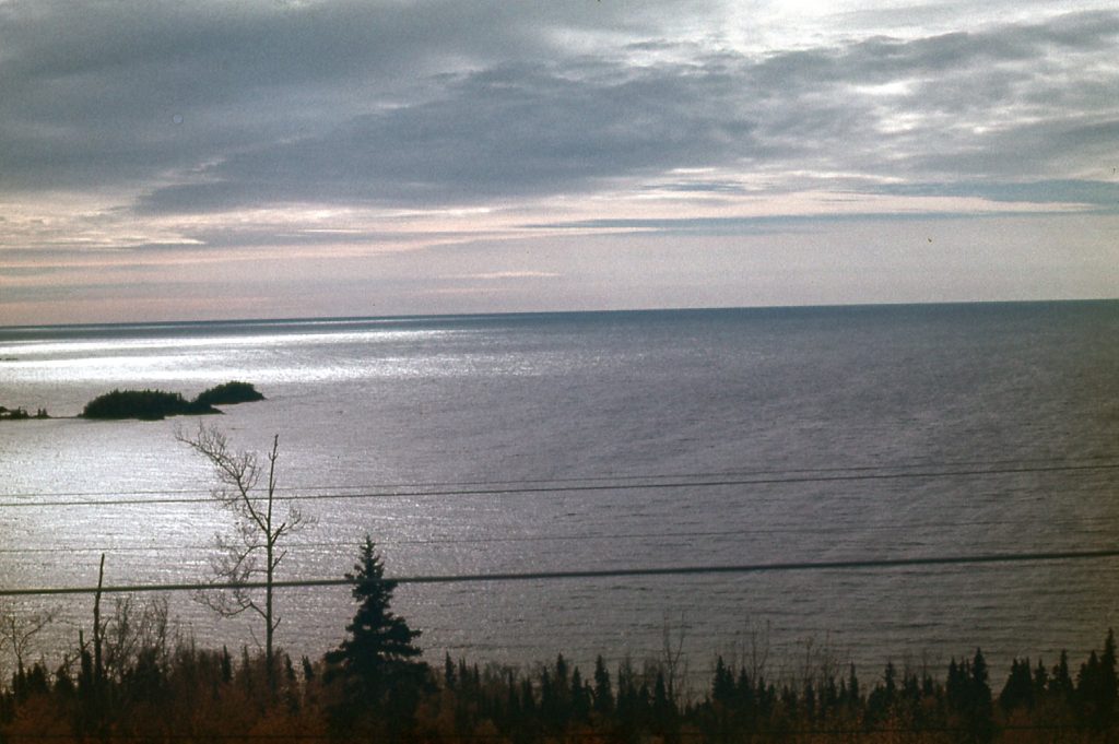
After a cold, cramped night in the VW, we started driving an hour before daybreak. The sun was up by the time we made Thunder Bay. There was no reason to go into the city, so we bypassed it and kept right on going. We had now reached the shore of Lake Superior, and would follow it for some time. Near Nipigon, we had this view south across the lake.
Much of the drive now was through forests rich with the colors of autumn. The lake was the main attraction, though, as seen here from near Schreiber.
The miles rolled on – here we are in White River.
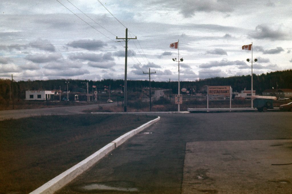
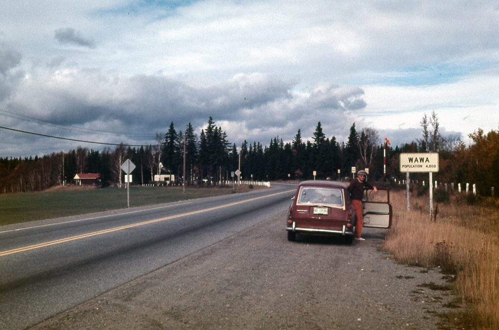
Remember how, some days ago, I mentioned Wawa. It had a reputation, at least in the early 70s, as being the very worst place in Canada to get stuck hitchhiking. Legends spoke of folks needing as much as a month to escape. It got so bad that the town had set up a shelter for hitchhikers. At the end of each day, a bus would come out to the highway and pick up all those who hadn’t gotten a ride and take them the mile into town where they could spend the night, no charge. In the morning, the bus would drive them back out to the highway for the day. So you can imagine the sense of relief that Mike and I felt, knowing we weren’t going to get stuck there – our ride with Dan would take us right on past the town. Here’s Mike posing to commemorate the event.
The day wore on, and by 5:30 PM we arrived at Sault Saint Marie. We had an ace up our sleeve – a friend of ours from the university we had attended in Vancouver was from here. His parents still lived here, and we called them from a pay phone on the edge of town. Their son had told them we’d be passing through, and could they put us up for the night? They were happy to hear from us and gave us directions to their place. Dan had given us a ride for 1,220 miles, a stroke of good luck beyond our wildest dreams.
Mr. and Mrs. Thayer welcomed us with open arms. A hot meal and a hot shower made us feel human again. We spoke at length about our trip and their son, but still managed to get to bed early. If only we’d known what the next 48 hours had in store for us, we probably wouldn’t have been so eager to leave town the next day.
Day 6 – Sunday, October 8th, 1972
Ride #17 – Sault Saint Marie to Thessalon, Ontario
After an early breakfast, Dan came back to the Thayer’s home (he had made other arrangements for the night) and gave us a ride to the east side of town, where the No. 1 Highway continued, so we could get an easier start. With only a short wait, two girls gave us a ride to Thessalon. This was a pretty short ride, but every little bit helps, right?
Ride #18 – Thessalon to Iron Bridge
We didn’t have to wait too long before a cop pulled over. Uh-oh, were we in trouble? Hitchhiking is frowned upon in some places. He was with the Ontario Provincial Police, but seemed friendly enough. This ride was even shorter, only about 18 miles, but he dropped us off at a good spot to thumb a ride. Well, at least it seemed good, but it took a full 2 hours to snag our next ride.
Ride #19 – Iron Bridge to Blind River
This was another of those short rides, but we were glad to be moving on. When we were dropped at Blind River, there was a cold wind blowing and it was really miserable. Finally, two young guys who must have felt sorry for us picked us up. What a relief to be out of the cold.
Ride #20 – Blind River to Sudbury
This next ride was a good one, about a hundred miles, and took us all the way to Sudbury, a major city. We got dropped off on the west side of the city, though, and had to walk for 3 hours to get through enough of it to get to a decent place to start hitching east again. We waited quite a while – it was bitterly cold and starting to snow. How glad we were to finally get picked up!
Ride #21 – Sudbury to Markstay, Ontario
This next ride was with a young guy in some souped-up car. Although we were glad to get out of the weather, we soon regretted it. This guy drove like a maniac. In spite of the wet road (it was a mix of rain and snow falling), he charged uphill on the highway at high speed, passing everything in sight on the two-lane road. There were some close calls. We were glad to finally get out of the car near the village of Markstay. No sooner had he pulled over to let us out when another car drove up and parked beside us. Out came a man who was furious and shouting at the idiot who had given us a ride. He said that, miles back, one of the times our car was passing another car dangerously as we went uphill at high speed, a car coming towards us had been forced off the road and into the ditch to avoid a collision. This guy had followed us for these several miles to give our driver hell and report his license plate to the police.
Well, both drivers soon left, and Mike and I were there on the side of the highway as night fell. It was raining and a freezing cold wind was blowing – this was easily the most miserable circumstance of the whole trip. It was crucial to get out of the weather, and soon. A nearby hotel had no room available. We even knocked on the door of the local priest, who said he couldn’t help us. By now, back out at the highway, we were three. A young deaf boy was there, also trying to hitch a ride. We felt truly desperate. Across the road was a house, and we walked over to it and knocked on the door. An older lady answered – we explained our predicament and begged her for shelter from the storm. She seemed very wary of us, but must have felt some sympathy for our situation – she let us in but said we’d have to stay in her basement. As I recall, it was unfinished and nothing more than a bare concrete floor, but at least we were out of the elements. We probably didn’t get much, if any, sleep but at least we survived the night.
Day 7 – Monday, October 9th, 1972
Ride #22 – Markstay, Ontario to North Bay, Ontario
At daybreak, we were back out on the highway across from the Good Samaritan’s house. It was just Mike and me – the young kid went his own way. It was a cloudy, gloomy morning, but we soon got a ride to North Bay, a distance of almost 60 miles. Thankfully, our next ride came quickly.
Ride #23 – North Bay, Ontario to Bonfield, Ontario
This was a short ride, but at least it kept us moving. Our next ride was only a short wait.
Ride #24 – Bonfield to Mattawa, Ontario
Another 40 miles found us in Mattawa, where it was snowing. A young fellow soon scooped us up and we continued to the east.
Ride #25 – Mattawa to Ottawa, Ontario
This next ride was a really good one, a full 200 miles, taking us all the way to and through the nation’s capital. He dropped us on the east side of the city at a good spot. Before we knew it, another lift came along.
Ride #26 – Ottawa, Ontario to Casselman, Ontario
This one took us about 30 miles east of Ottawa out to the countryside near the small town of Casselman. Our luck held – once again, a short wait produced our next ride.
Ride #27 – Casselman, Ontario to Montreal, Quebec
The weather was fair and so was our luck. This ride took us into Quebec, and on to the island of Montreal. We were dropped in the Pointe Claire neighborhood of the bustling city. I made a call from a pay phone to my father, who promptly came and picked us up.
Ride #28 – Pointe Claire to Dad’s place
It was done – seven full days of hitchhiking across 6 provinces and 3,000 miles. We had survived it in the end, but it seemed like it was touch and go a few times. We spent a few very comfortable weeks at my Dad’s place before moving on for the rest of our journey. Hitching across Canada was a real adventure, and I’m glad we did it. Ah, those youthful days when we all felt invincible! Thanks for coming along for the ride and keeping us company.

