It was in that tight little window between Christmas and New Year’s when Andy and I decided to head in to an area we hadn’t ever visited before. We started our day by climbing to the highest point of the Cat Hills. This little bump only rose about a hundred feet, so why did we even bother, you might rightfully ask. Well, it had a name, and several of us had taken an interest in climbing the high points of named groups of hills. From there, we drove over to the Box O Hills. Those bumps were a bit taller. Finally, there was one more called Allen’s Peak nearby, which we also climbed. On its top, we met a hunter. Since Andy and I were talking non-stop all the way up and down, we no doubt scared away anything he was looking to shoot. We then drove south to our next goal.
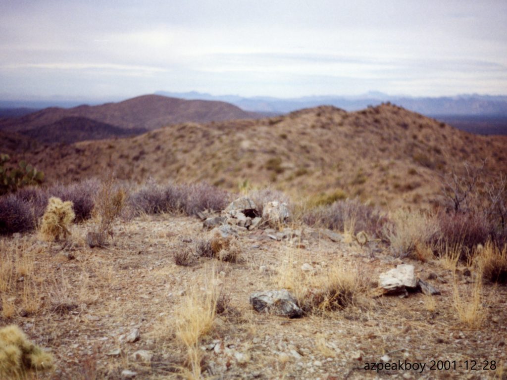
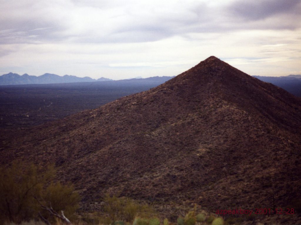
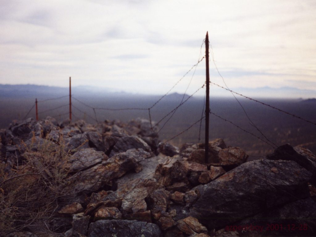
Something called Freeman Road led us to the base of a mountain labeled Coyote Peak on our map. At 3,973 feet it stood higher than everything else in the range, so it was a logical target. This was my first time out climbing since hernia surgery almost 2 months earlier. Andy was very gracious to temper his normal rapid pace so I could keep up with him. We climbed not only Coyote Peak, but also the mountain farther north along the ridge known as Peak 3819, the range’s second-highest. On our way up 3819, we came across a large group of 20 javelina. Seeing them is always exciting. We had a great view, while the hunter had none! From both of these peaks, we could look down on to the aptly-named Coyote Ranch. Here are 3 of Andy’s pictures from that day.
So where were we? – in a small group of peaks, six-strong, about 40 miles north of Tucson, Arizona. The range had the odd name of the Ninetysix Hills. Try as I might, I could not come up with the origin of the moniker. Perhaps it had something to do with the year 1896?
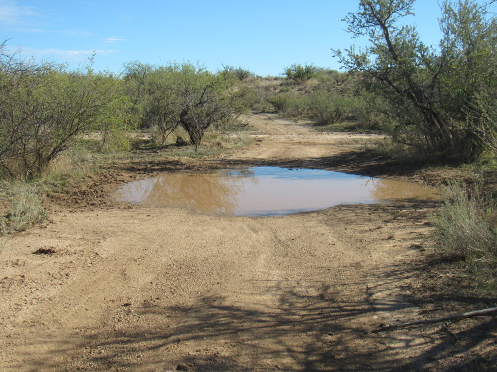
Eighteen years passed. Something drew me back, and late in 2019 I found myself in the north end of the group to visit another of the peaks in the range. It had rained recently, and the rough dirt roads that snaked their way to my goal bore witness to the fact – large deep puddles filled the road and gave me pause.
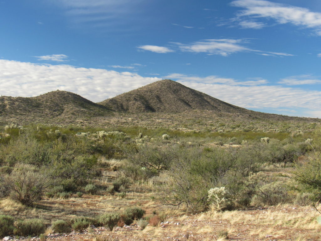
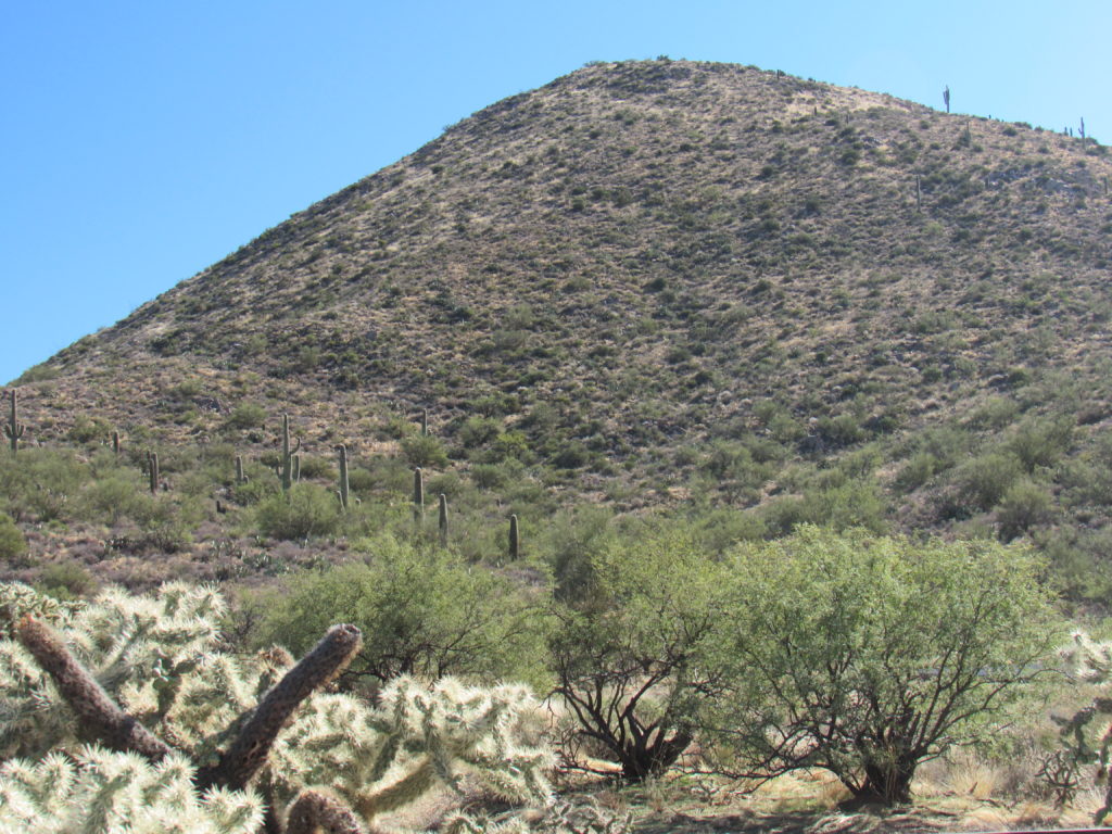
Finally, I had the first good look at my peak.
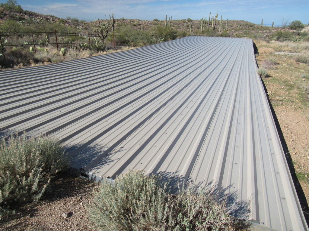
The roads worsened until finally a 4WD track led me to a spot north of the peak where I could park near a water catchment for wildlife. These are always interesting, and come in a variety of configurations. I’ve shown you several of these in the past, but here’s another. This one has a large sheet of corrugated metal measuring 25′ x 100′.
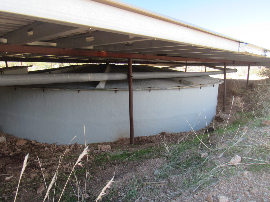
Rainwater falls on the metal, then runs into a large tank below.
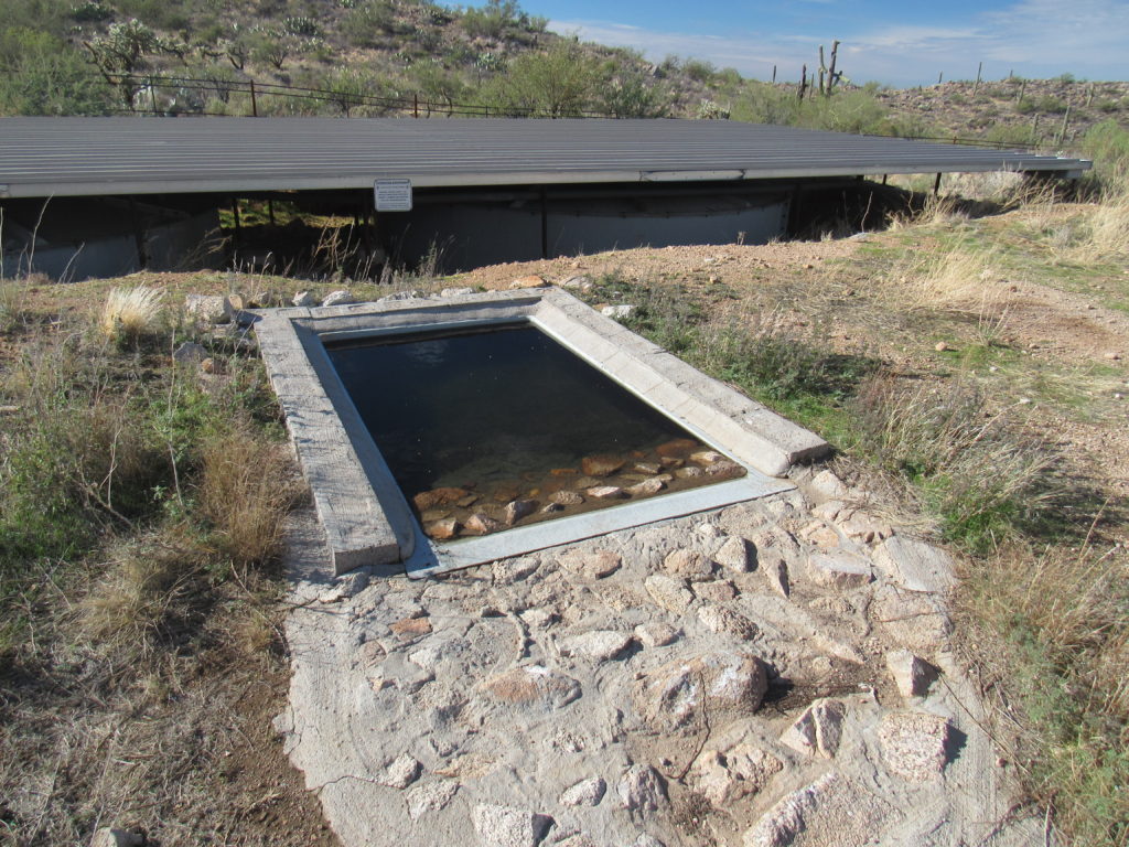
The metal tank keeps the open-air drinker filled, so animals just walk up to it to slake their thirst.
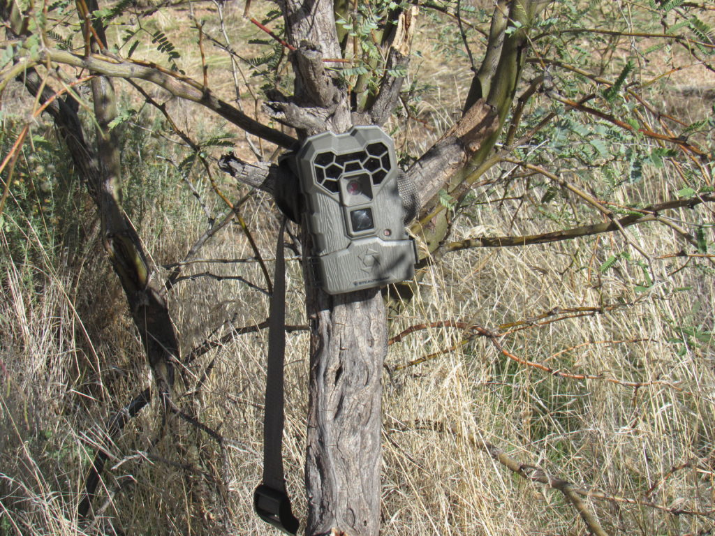
These “guzzlers” as they are called work very efficiently, and can hold water for months after the last rainfall. There may be motion-sensor cameras mounted nearby to record any activity – the type and number of creatures using the facility.
Peak 3653 was an easy walk of 450 vertical feet up its north slope.
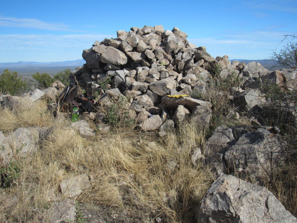
When I reached the top, several things caught my eye. The most obvious was this huge cairn left by others. I found the glass jar register buried within and signed in, joining the half-dozen others who had preceded me.
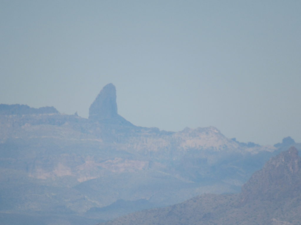
Forty miles to the north-northwest sat a sharp spire in the Superstition Mountains. It was just a tiny thing to the naked eye, but easier to see with this long telephoto. You are looking at a famous feature called Weaver’s Needle, a real draw for rock climbers.
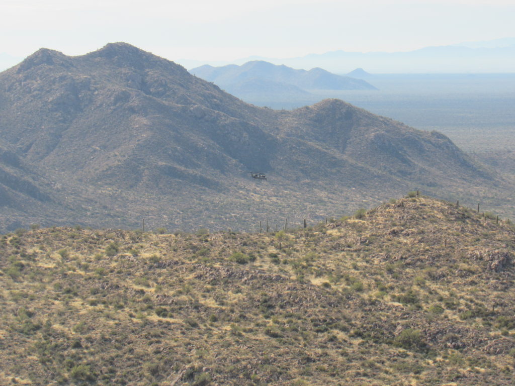
As I sat on the summit minding my own business, I heard a clatter approaching. Two large military helicopters hove into view and passed by my mountaintop. They were moving quickly, so by the time I snapped this next photo they were already far away. Exactly in the center is a dark dot, which is the 2 choppers right beside each other.
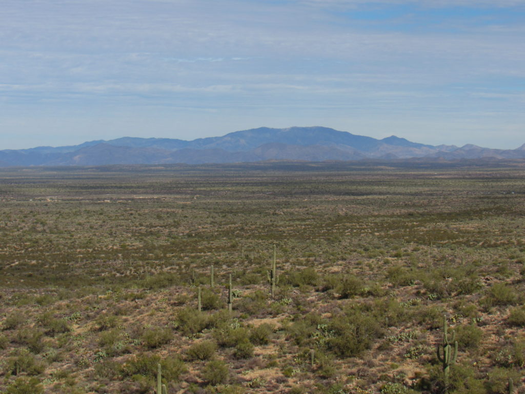
Thirty-two miles to the northeast sat Pinal Peak. Although it is only 7,848 feet in elevation, this heavily-wooded peak sits a full 4,000 feet above the nearby town of Globe. In winter, the summit is deep in snow.
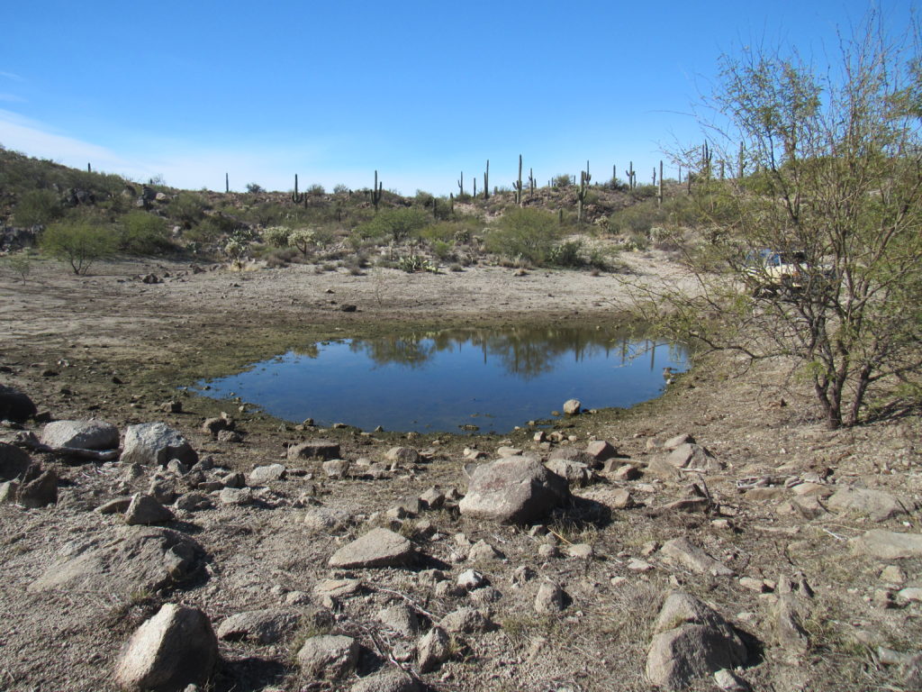
My sojourn on top of Peak 3653 at an end, I dropped back down to my truck. Nearby was a man-made tank, another type of water-hole used for cattle. These are usually excavated by a bulldozer, then rely on rainwater runoff to keep them filled. Each has its own unique character. A great many of them have names – this one was called “Rock Tank”. Its water level was quite low the day I visited.
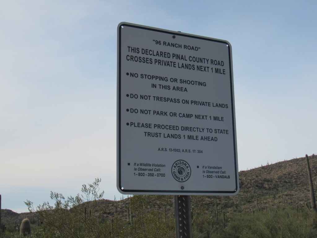
When I left Rock Tank, I drove down the east side of the range to reach a major dirt road shown on the map as Smoke Road and known locally as Ninetysix Ranch Road. A sign gave warning as I approached a cluster of buildings which once served as the ranch headquarters.
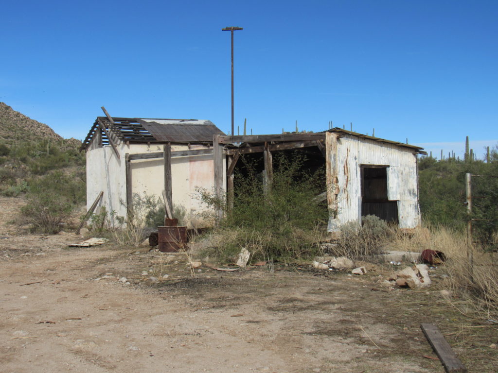
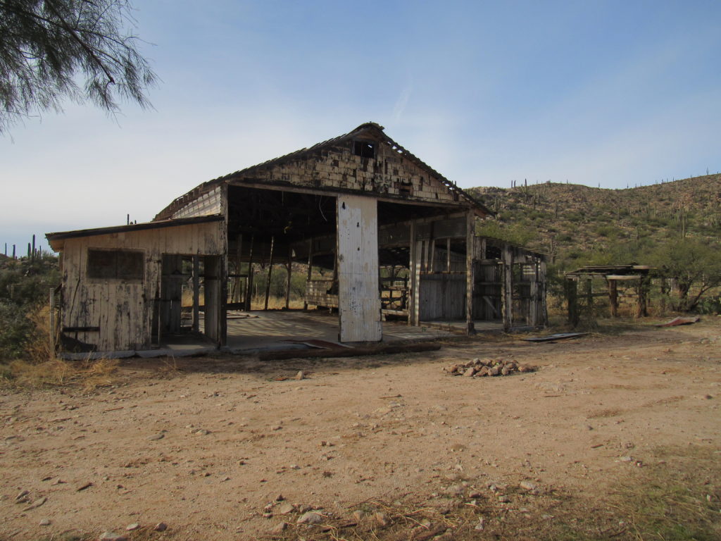
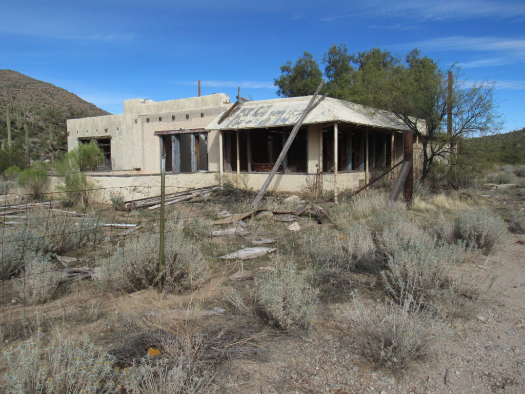
Several derelict buildings stood on either side of the road in mute testament to once-better days.
Guess what, Folks? The Ninetysix Ranch is for sale, for a cool four and a half million bucks, as-is. There are 642 deeded acres, along with 56,284 state grazing lease acres. That’s over 88 square miles of beautiful Sonoran Desert. Here is a description of the ranch from some sales literature. It’s easy to see that it is oriented towards prospective ranchers.
The west end of the ranch is relatively level. The Ninetysix Hills divide the ranch running from the northern to the southern boundary and consist of rolling to steep areas with boulder outcroppings. The east end of the ranch is higher in elevation than the west end and is more level to rolling. The west end produces mainly annual feed, while the higher elevations in the hills and on the east end of the ranch produce more perennial feed. Grasses on the ranch consist of gramas, lovegrasses, sand dropseed, threeawns and annuals such as filaree and Indian wheat. Trees and browse throughout the ranch include mesquite, catclaw, palo verde, jojoba and creosote. Saguaro, yucca, cholla and prickly pear cacti are also found throughout the ranch. Wildlife found in the area include quail, mule deer, a few whitetail deer, javelina, coyotes, coatimundi and mountain lion.
The deeded land on the 96 ranch is roughly in the center of the state lease and is nearly the highest point on the ranch. The Ninetysix Hills provide an enchanting setting for the deeded land with granite boulder outcrippings and saguaro cacti. Views are exceptional in every direction on the deeded land, from the Picacho Mountains and the towns of Coolidge and Florence to the west to the Tortilla and Galiuro Mountains to the east, and from the Superstition Mountains to the north to Black Mountain and the Santa Catalina Mountains to the south.
I have a feeling that the ranch may be for sale for a long while.
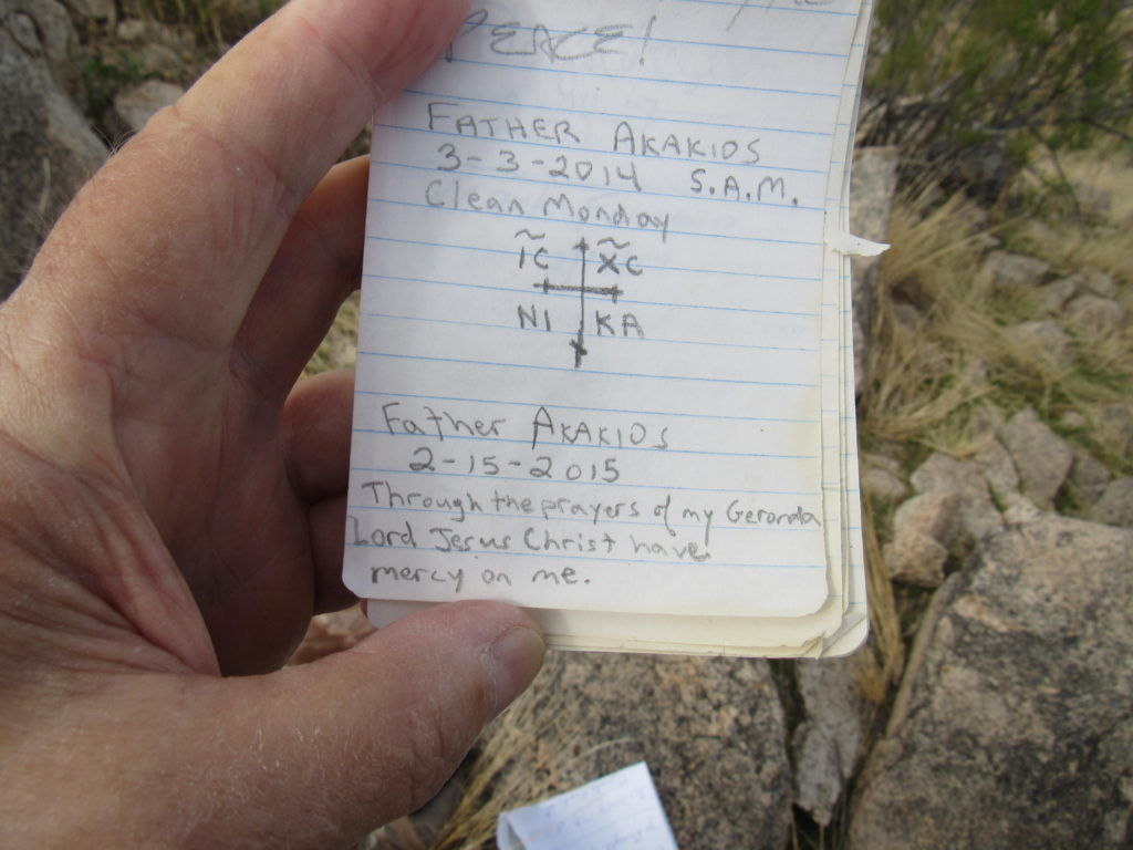
A week later, I was back. A lone peak called Middle Mountain stood close to the highway, and it seemed like a short day should knock it off. I parked nearby and before long stood on its summit. Plenty of others had been there before me, as evidenced by the register. One of the entries caught my eye.
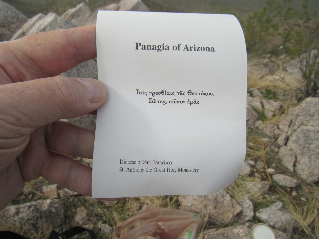
Inside the register jar was this card.
And this was written on the back of the card. Don’t ask me to translate the Greek for you.
It turns out that the card had been left by a Greek Orthodox monk, and the monastery is located in nearby Florence, Arizona. It’s nice to know that the little peak had inspired this man who had visited repeatedly over the years.
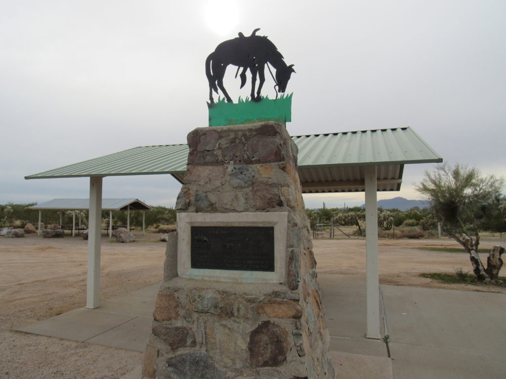
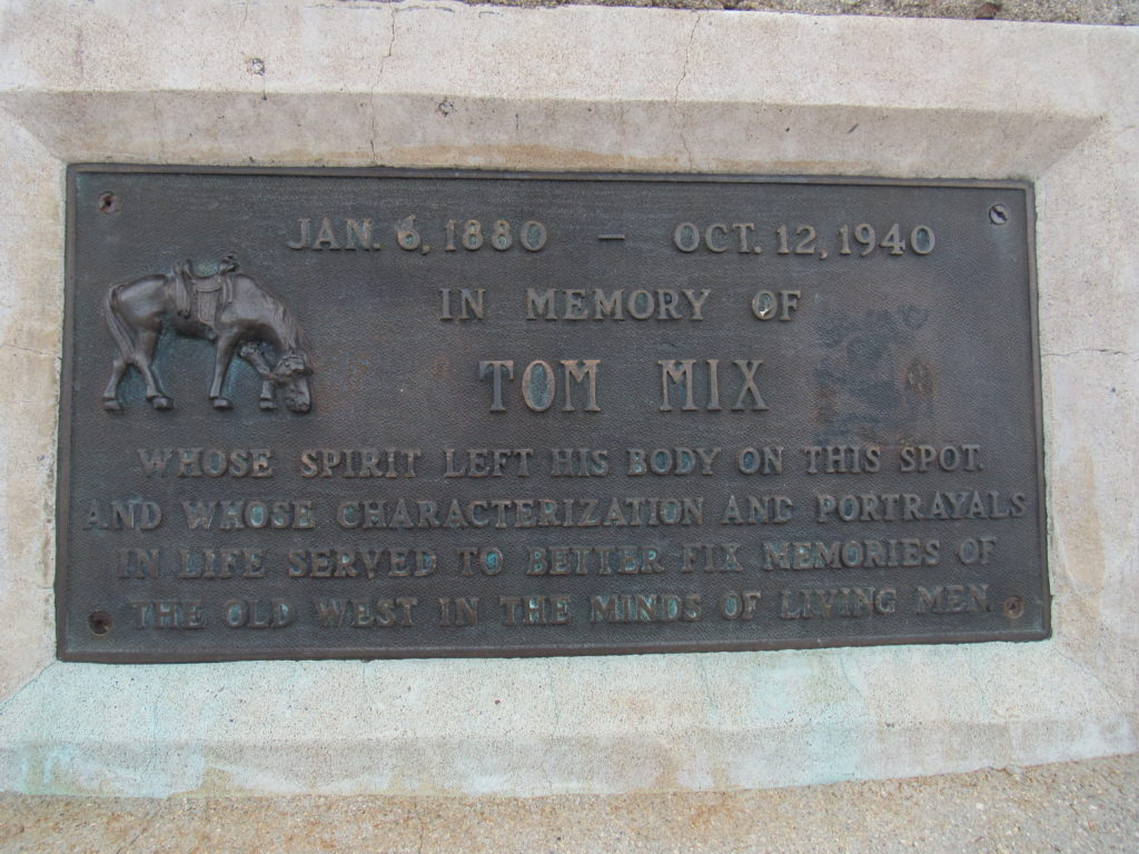
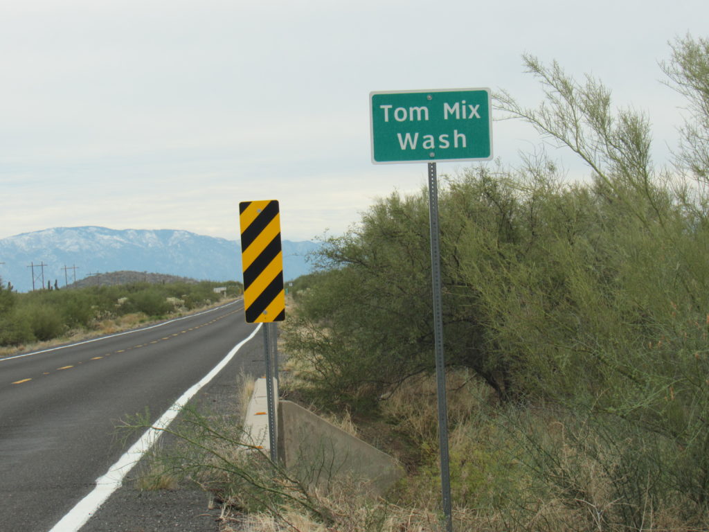
As I drove home on the nearby highway, a historical marker beckoned – I just had to stop for a look. If you’re a fan of early Western movies, you’ll recognize the name of Tom Mix. It turned out that the marker honored him and also indicated the spot where he died. Please take a few minutes to go on to this site where you can read about his life and career, it is truly fascinating. He was highly revered. At the height of his career, he was earning the astonishing sum of $20,000.00 per week, equivalent to about $295,000.00 per week in 2019 dollars. He was a pallbearer at the funeral of Wyatt Earp, where he wept at the loss of his friend.
So ends the story of Ninetysix Hills, at least my version of it. Thanks for listening.

