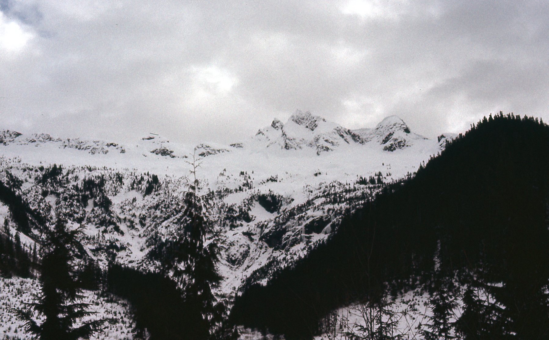
This story is the latest in my Pictorial Series. A few of the 500-plus stories that have now been published on this website lacked the photos that I took when the climbing happened. Fortunately, the original photos have now been found and I can present them to you here, along with a new take on the original story.
Well, folks, here it is – never before seen – the real story of how Robertson Peak was first climbed. It has taken a while to see the light of day, but that’s okay. Some stories get told soon after the events happen, while others take a little longer – in this case, about forty-seven years. It’s long overdue, but hopefully no less enjoyable.
We need to go way back to the year 1975. At that time, I was living in the small town of Mission in British Columbia, Canada, about fifty miles east of Vancouver. That year I decided to get serious about climbing all of the peaks in a remote area between Stave Lake and Chehalis Lake. The repeated trips I made into the area put me on top of a lot of summits, and the deeper I penetrated into the area, the more mountains I saw to the north. One stood out above all the rest, and a bit of research confirmed it to be Robertson Peak, with an elevation of 7,400 feet. I researched it carefully and came to the conclusion that nobody had climbed it before. That fact got me more excited than ever, making me very determined to climb it, and climb it soon. By late 1977, I decided I couldn’t wait any longer, so I started to look for a climbing partner to share in this adventure.
Ross Lillie and I had known each other for about nine months and we had only climbed one time together before this, an ascent of Mount Adams the previous July. We got along really well, so we figured this could work. We hammered out the details and decided we should do this thing. Because I was feeling so antsy about getting it done as soon as possible so nobody would beat us to the punch, we decided we could do this as soon as February. That meant that not only would this be a first ascent, it would also be a first winter ascent – it just kept getting better! Robertson Peak is significant because it falls into a category of mountains called ultra prominence peaks. Depending on which country you live in, these peaks need to have 1,500 meters or 5,000 feet of prominence. That means that, if you were standing on the top of Robertson Peak, you would have to descend vertically 1,502 meters before starting the climb up a higher peak. Way back in the 1970s, we didn’t know anything about prominence so we didn’t much care about the fact that this peak made it into such a category.
In the entire continental US, there are only 57 mountains that are ultra prominences. A few years ago, the climbers who are prominence experts concluded that if one considered these 57 peaks, and the few ultras within 60 miles of the border of the continental US, all of the climbers who had made the first ascents of these peaks were now dead. Andy Martin, a climber friend here in Tucson, Arizona who happens to be an expert on the statistics of mountain prominence, called to inform me that I should be aware that I was dead. He knew that I had climbed Robertson and thought I should at least have a chance to update my obituary. So part of the reason this piece is being written is to tell the world that Ross Lillie and the Desert Mountaineer are in fact both alive and well, thank you very much!
Ross and I were both excited to make the long trek in to the peak, so, after much planning, we picked a date of Friday, February 17, 1978 to begin. We knew this would be a lengthy and challenging trip, so we decided to travel light. One way we could do this would be to eat only cold food, even though it was the dead of winter. So, we took no stove, fuel or cooking utensils, thus saving several pounds of weight. In the Coast Range, even in the dead of winter, water for drinking shouldn’t be a problem, so we wouldn’t have to melt snow.
Early on the 17th, we got a ride from a friend to the Riv-Tow dock in Harrison Hot Springs. From here, a company ran a boat called the Redonda 45 miles up Harrison Lake a few times a week, to supply the remote logging camps along its length. The captain of the Redonda was a terrific guy named Ed Reid. I remember him fondly as a caring man who went out of his way to make sure that he always dropped me off anywhere along the lake I needed to go to get my climbing done. I found a photo of Captain Reid getting off the boat at the dock, with assorted passengers there as well.
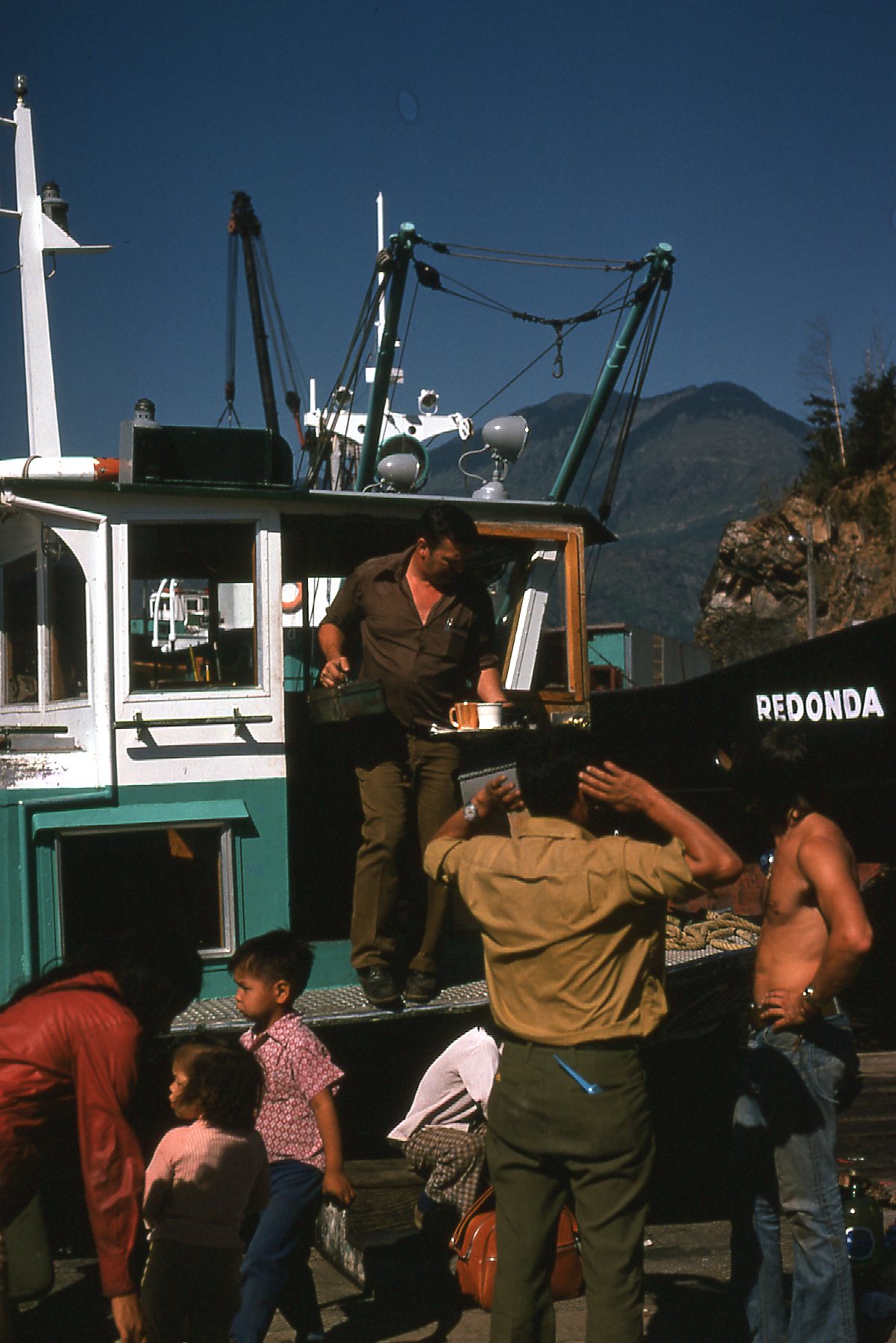
The boat pulled out early, at about 7:00 AM. It was a cold, choppy ride on an overcast day. Mostly we stayed inside the small cabin for some warmth as the boat stopped a half-dozen times along the lake, dropping off supplies to the camps. Ours was the last stop – the dock at the abandoned logging camp at Five Mile Bay. The captain was only stopping there because of us. It was noon, and we were anxious to get moving.
We soon lost sight of the boat as it went around the corner and left us alone with our thoughts. It was completely quiet. We shouldered our packs which were still plenty heavy, in spite of not having things like a stove, fuel, cooking pot and other such items most sensible climbers would bring for a multi-day winter climb. We had brought what we considered to be a minimum of serious winter gear though, (clothing, tent, sleeping bags, plus crampons, ice axes and snowshoes). Ross and I used to have fun arguing about what worked better in winter mountaineering, cross-country skis or snowshoes. He was an experienced skier, and I had only used snowshoes. This time, we were using Sherpas, a lightweight mountaineering snowshoe which had a good track record. We were wearing full-steel-shank leather boots, which were de rigeur back then, the kind you would grease up before every climb, heavy as all get-out but perfect for cramponing. Also, we wore the customary wool knickers and knicker-socks.
There was only patchy snow near the dock, but the snow cover on the road became solid shortly after leaving the camp. We slogged northward along the main dirt road on the west side of the lake for about two miles, getting used to our heavy loads. We then came to the old road which turned southwest and headed up Tretheway Creek. This road hadn’t seen a logging truck on it for years, and was becoming more overgrown as time passed. I learned that the Tretheway family had logged the area in the 1940s and 1950s, so it may have sat undisturbed for many years before we went there. The further up it we went, the thicker the brush became that was growing up in the road itself. Eight laborious miles had been covered by the time we stopped for the day at around 5:00 PM. It had been cloudy and threatening all day, and we had walked a lot of those miles in snowshoes carrying heavy packs – we were beat. We pitched the tent right in the middle of the road and it rained during the night. The snow was about two feet deep where we camped. I wondered why I didn’t take a single picture along the road (neither did Ross), and in retrospect it must have been because it was such a grey, gloomy day throughout those 8 miles that we figured there was nothing worth preserving in a photo.
On Saturday, day 2 of our trip, we packed up our gear and soggy tent and continued up the road for four more miles. We were socked in, with a light drizzle. A time came when we had to leave the road and start thrashing our way up Tretheway Creek, heading west, more or less following its north bank through the bush.
At the point where we left the road was an important junction of two valleys. The road actually continued a short way up a valley that headed southwest. In fact, only 2 1/2 miles up that valley was the summit of Winslow Peak, the highest peak on the divide between the Stave River drainage and the Tretheway Creek drainage. That was the valley we did not ascend. Instead, we headed west-northwest up Tretheway Creek, as it was the path that would take us closest to Robertson Peak.
We were navigating by map and compass (this was long before the advent of GPS) and finally decided to leave the creek at about 2,700 feet elevation. That was after about 2 miles along the north side of the creek, trying not to fall in while finding the best path through the bush. Then came the hardest part of our day, leaving the creek and climbing straight uphill. It was a fierce effort, wearing snowshoes and carrying heavy packs. A typical, nasty, exhausting thrash up through the thick Coast Range rain forest. The snow was deep, and even with snowshoes we sank in pretty far. We had to fight hard to gain every foot of elevation as we bushwhacked our way north up the steep slope. I don’t remember if it was precipitatin’ on us or not, but we were socked in with poor visibility in a total whiteout.
Finally, after hours of effort, we emerged around tree-line and continued upward until we reached the first spot flat enough to make camp. The altimeter said we were at 5,300 feet. We had fought our way up through 2,600 vertical feet of soggy wet bush to get here and we hadn’t seen anything of our surroundings all day. Then, when we least expected it, there was a slight break in the clouds and we caught a glimpse of a frozen lake deep in the valley below. A quick compass bearing on the lake, coupled with our altimeter reading, allowed us to fix our location on the mountain pretty closely. Moments later, the clouds closed in and we couldn’t see but a few feet away, once again in a total whiteout.
Darkness came early, and we settled in for the night, eating frozen sandwiches for our dinner. Even though we felt pretty certain of our exact location, we were still concerned that we may have to try for an unknown summit in what could well be a whiteout in the morning. Also, we knew that if visibility was that poor the next day, we would have little chance of getting our summit, because we wouldn’t even be able to see it! It would be one thing if we had been there before and knew the terrain, but we were pioneers on this mountain and didn’t have any idea what was above us. It was an uneasy sleep.
It was dark when we got up the next morning – Sunday, day 3 of our trip. We were still socked in, and that was just about the worst circumstance we could be in. There was nothing we could do but go for it. We took a bit of food, some of the water we had gathered from Tretheway Creek the day before, and what little else we thought would be of use in the climb. Rope, ice axes and crampons came too. We had absolutely no idea what we might run into in the whiteout conditions, so we put on our snowshoes and left. It was 7:00 AM.
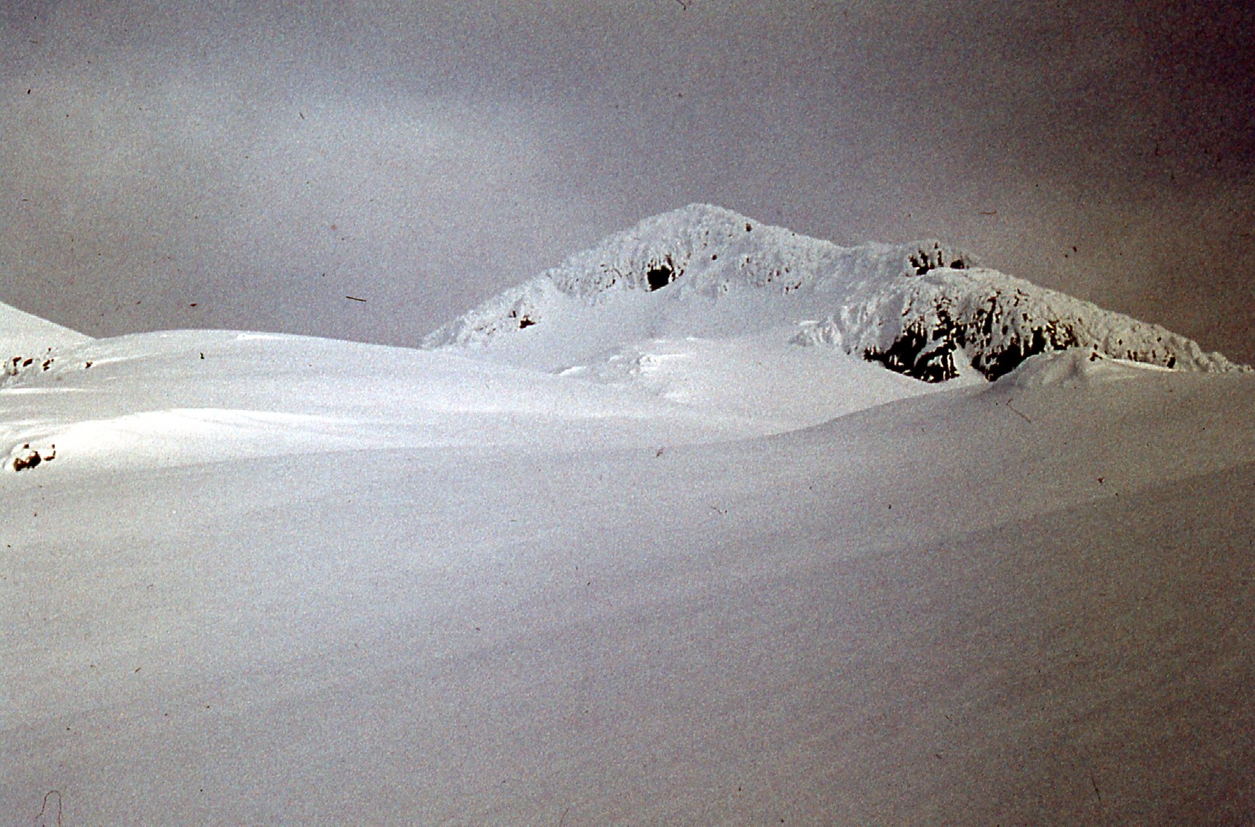
We knew from our map that northwest of our camp, there was a small lake basin at 5,200 feet. It was a bit lower than our camp. We had gone that far, when, rather unexpectedly, it got brighter and the clouds started to part. I remember looking up and seeing some rocky spires above us. This was the first real view we had of anything for days. This is the view from the frozen, snow-covered lake.
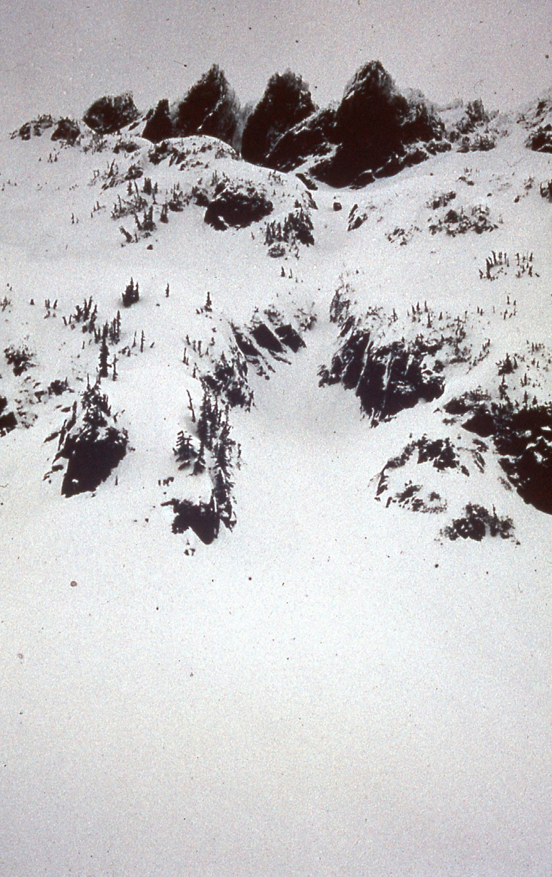
Our first glimpse of any part of the peak. These spires were a part of a ridge dropping northeast from the summit.
It was only now that we felt like we were going to pull this off. If the clouds kept lifting, if we had any visibility at all, we would find the summit. A real sense of optimism was settling in. We continued in a NNW direction towards where we felt the main summit must be. As the visibility improved, we could then see up what must be our route to the top.
From this point, we felt pretty certain that we were looking straight up to the main summit. The weather continued to improve as we climbed straight uphill as seen in the above photo. It’s farther than it looks. From around the lake, we followed the south ridge up to the saddle between the east and west peaks, a rise of 1,855 vertical feet. The snowshoes stayed on until we reached the base of the main summit in the saddle. It seemed prudent to rope up there, so we did just that. At this point, we both felt that making the summit was pretty certain.
The 2,200 vertical feet of climbing from our camp took us until 12:05 PM, when we finally stood on the main summit – five hours had passed since leaving the tent. By then, the weather had improved dramatically. The clouds had all but disappeared and we had amazing views in every direction. There was no register, nor was there any point in leaving one – once the snow melted, it would roll down off of the steep summit. The next photo above doesn’t show the overhanging cornice on the summit that Ross is staying well clear of.
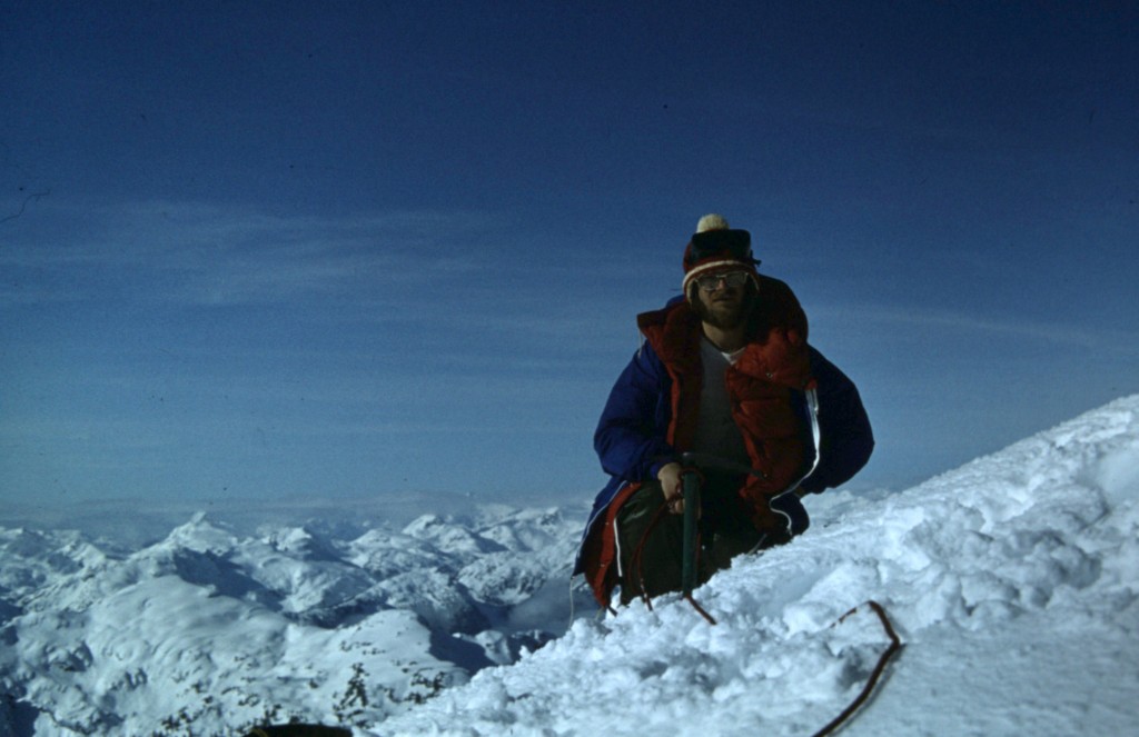
Ross Lillie on the main summit of Robertson Peak, elevation 7,400 feet.
We spent 25 glorious minutes on the top, basking in the moment and taking lots of pictures.
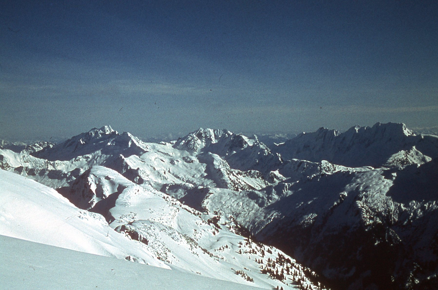
Looking southeast. Grainger Peak is on the left; Nursery Peak is in the middle; the Mt. Clarke massif is on the right.
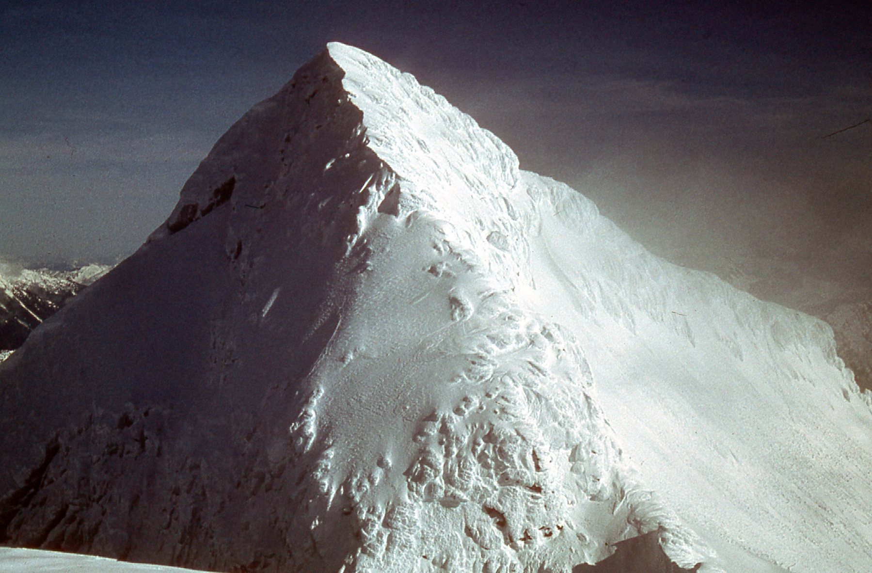
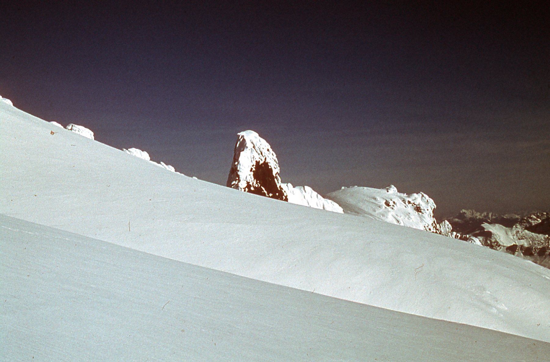
We then dropped down the 500 vertical feet to the saddle between the main east summit and the lower west summit. This next photo is my favorite one of the entire trip, taken from the saddle between the east and west peaks. It clearly shows the severe winter conditions we had to deal with.
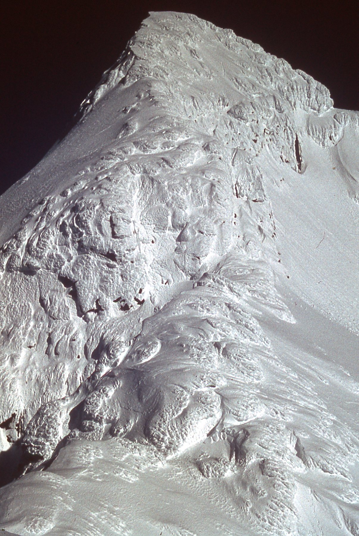
Our route went straight up the west ridge, right up through those bulges ( or boils, or mushrooms, or whatever you want to call them) you can see, right up the middle of the photo from bottom to top. The mushrooms were mostly soft and we could break through them fairly easily. Higher up, we moved out on to the sunlit face on the right to finish the climb.
We started up the lower west peak and reached its summit at 1:30 PM at around 7,150 feet. Here is a look back on the main summit from atop the west summit.
We didn’t stay long on the west summit either. Even though the weather was cooperating for now, we couldn’t trust it. We had over 2,000 vertical feet to descend back to the safety of the tent, and the last thing we wanted was to get caught in another white-out. The weather can change in minutes in the Coast Range. We took these quick photos from atop the west peak.
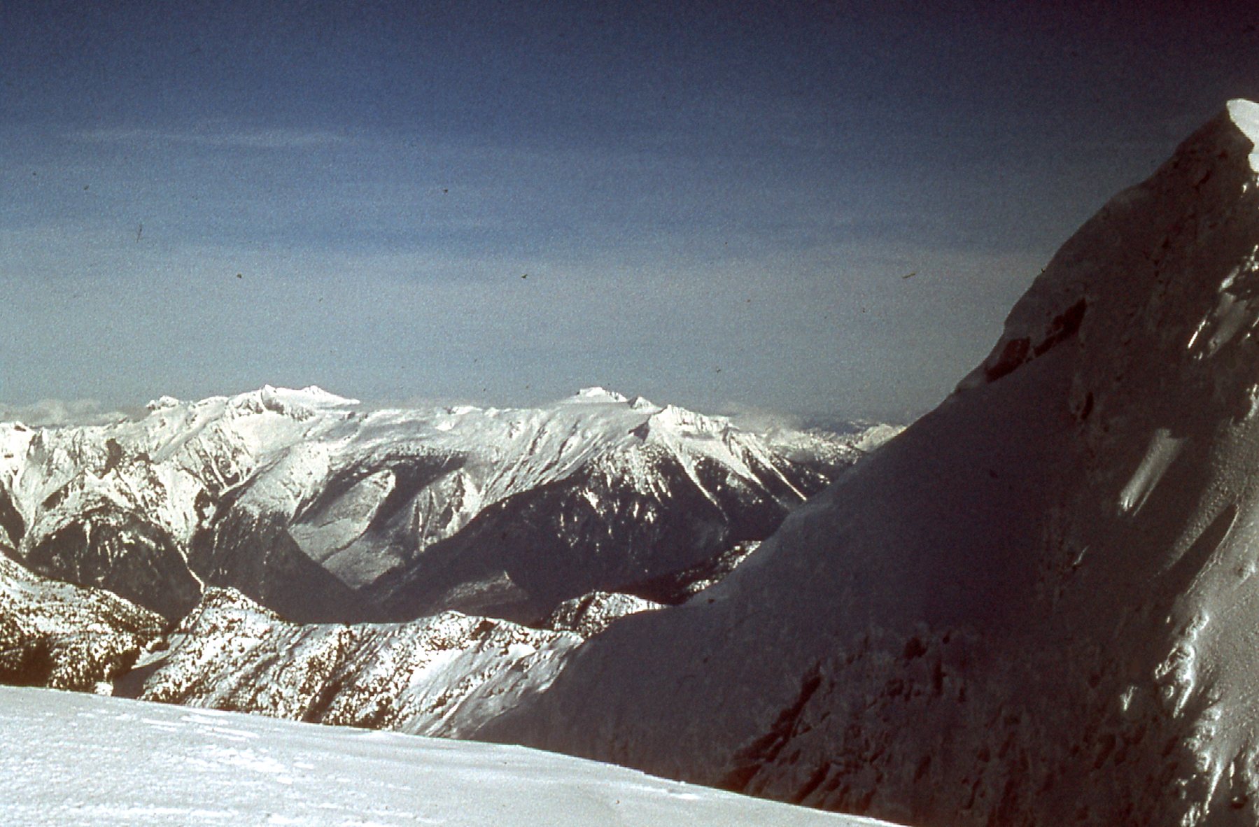
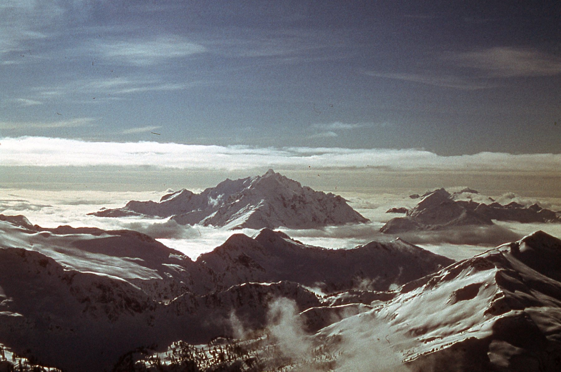
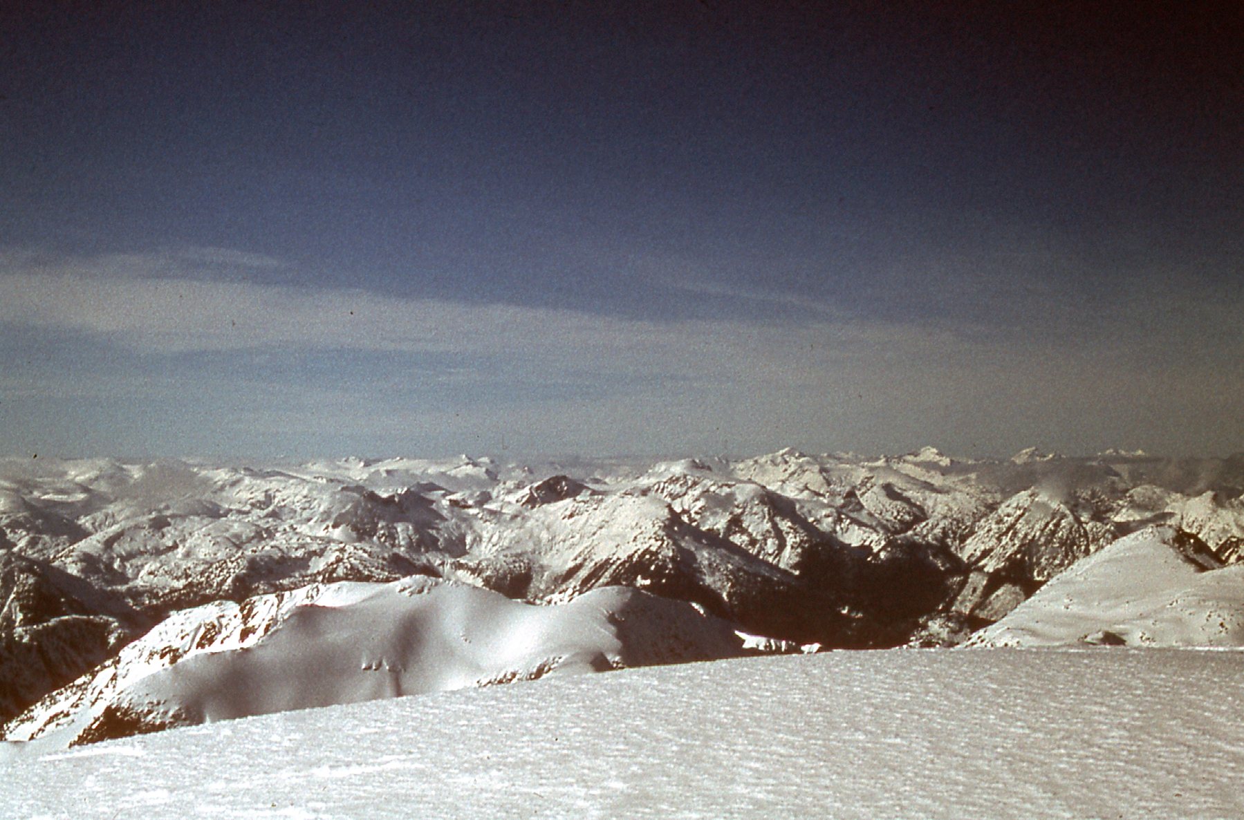
Looking across the north side of Robertson Peak’s main summit. On the far horizon, Mount Breakenridge is in the center. Farther left, the broad white summit is Traverse Peak.
We started down from the west peak, still roped up for safety. Here’s one more photo taken on the way back to camp.
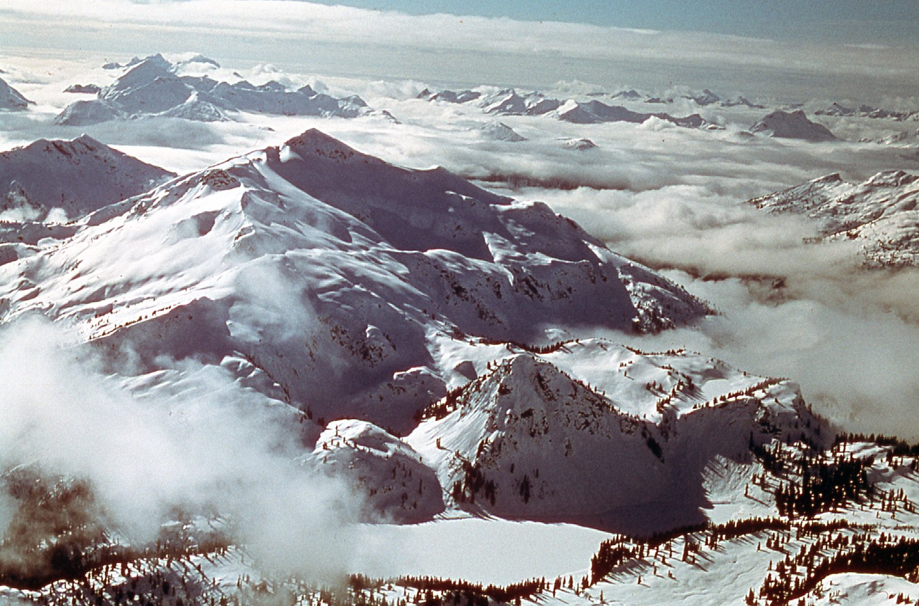
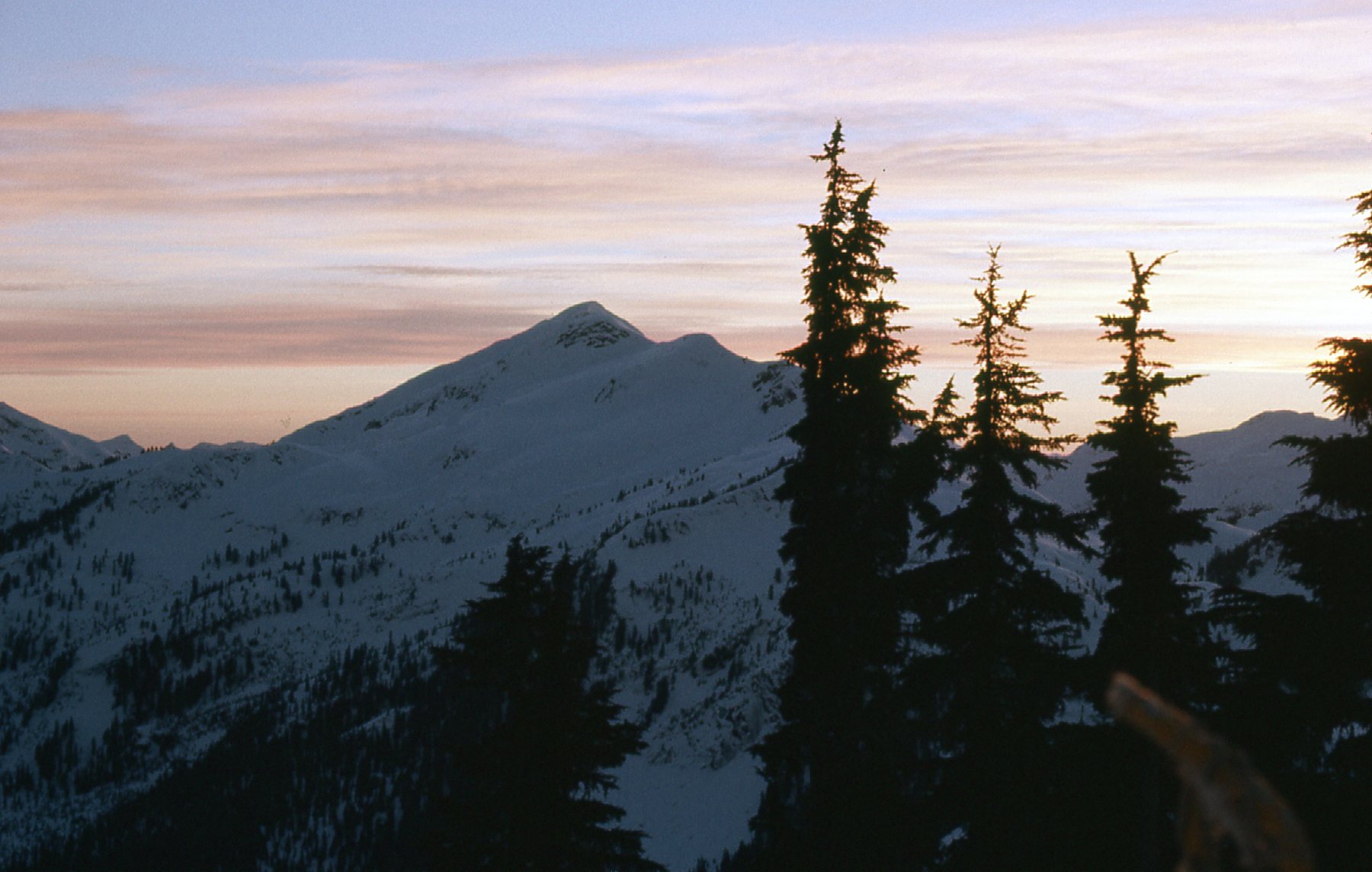
The weather cooperated, and we made it back to camp by 3:45 PM. We were seeing our base camp for the first time, since it was no longer socked in, and what a great location it was! Now, we had the luxury of time to sit and enjoy the beauty of the spot. We ate more frozen sandwiches for supper and watched the sun go down. From camp, we had this view over to Peak 6400 to the southwest. In later years, it would be known as Winslow NW4.
It was a restful night. We felt great! Both summits had been safely climbed and the weather was holding. Although we had a long way to go to consider this trip finished, we were basking in the moment.
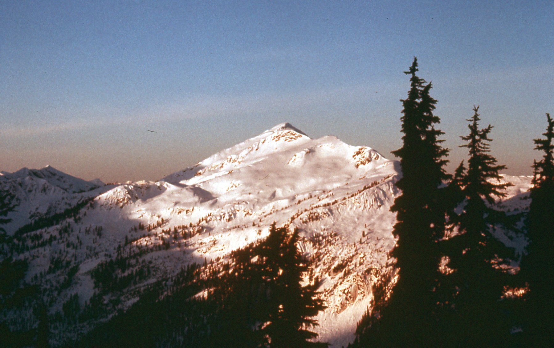
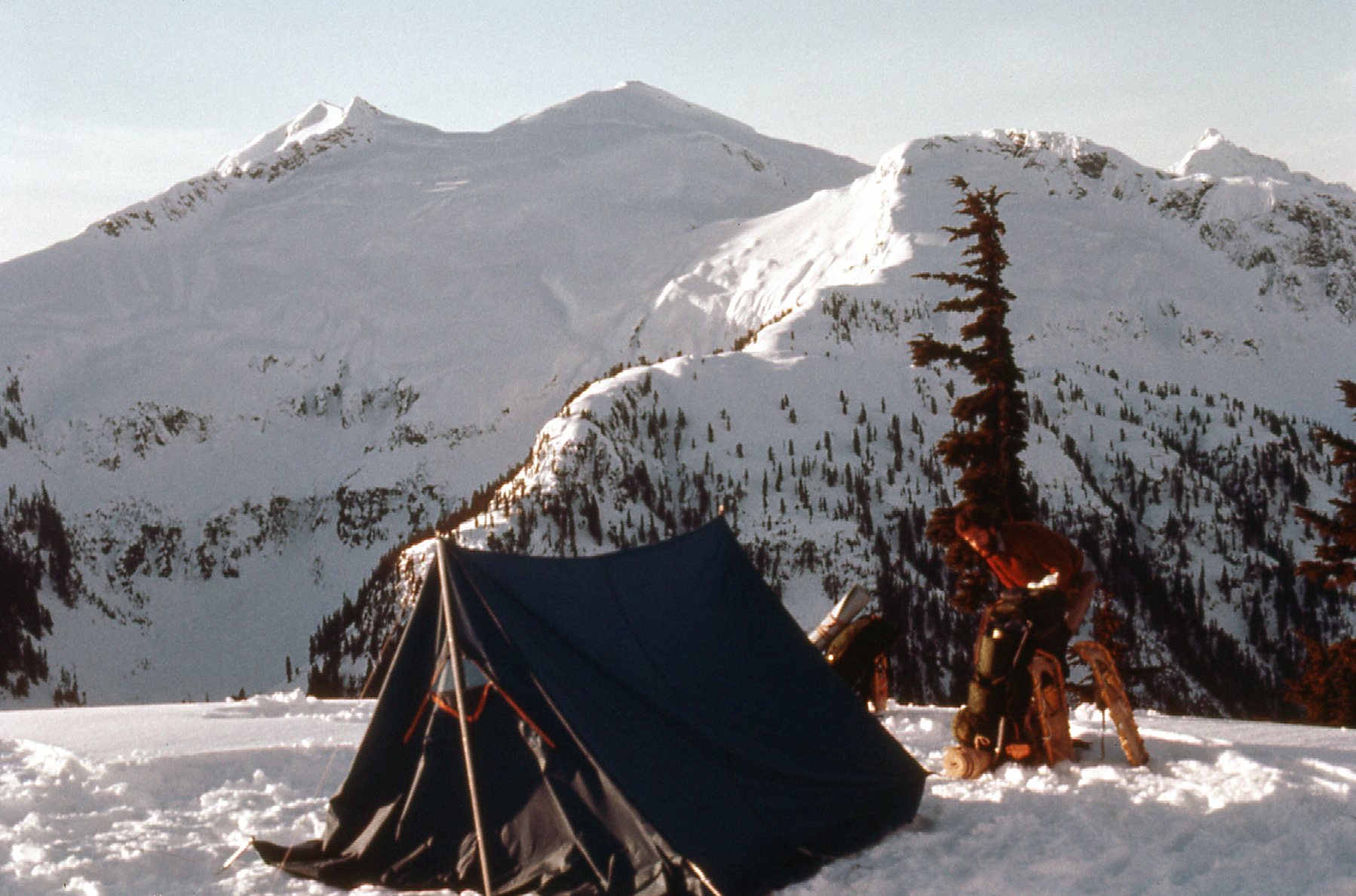
The next morning, we awoke to clear skies. Could things be any better? We were surrounded by beautiful peaks we hadn’t seen until now. Even though they were a thousand feet lower than Robertson, they were un-climbed and alluring, the stuff of a future trip. Here is the view from our tent.
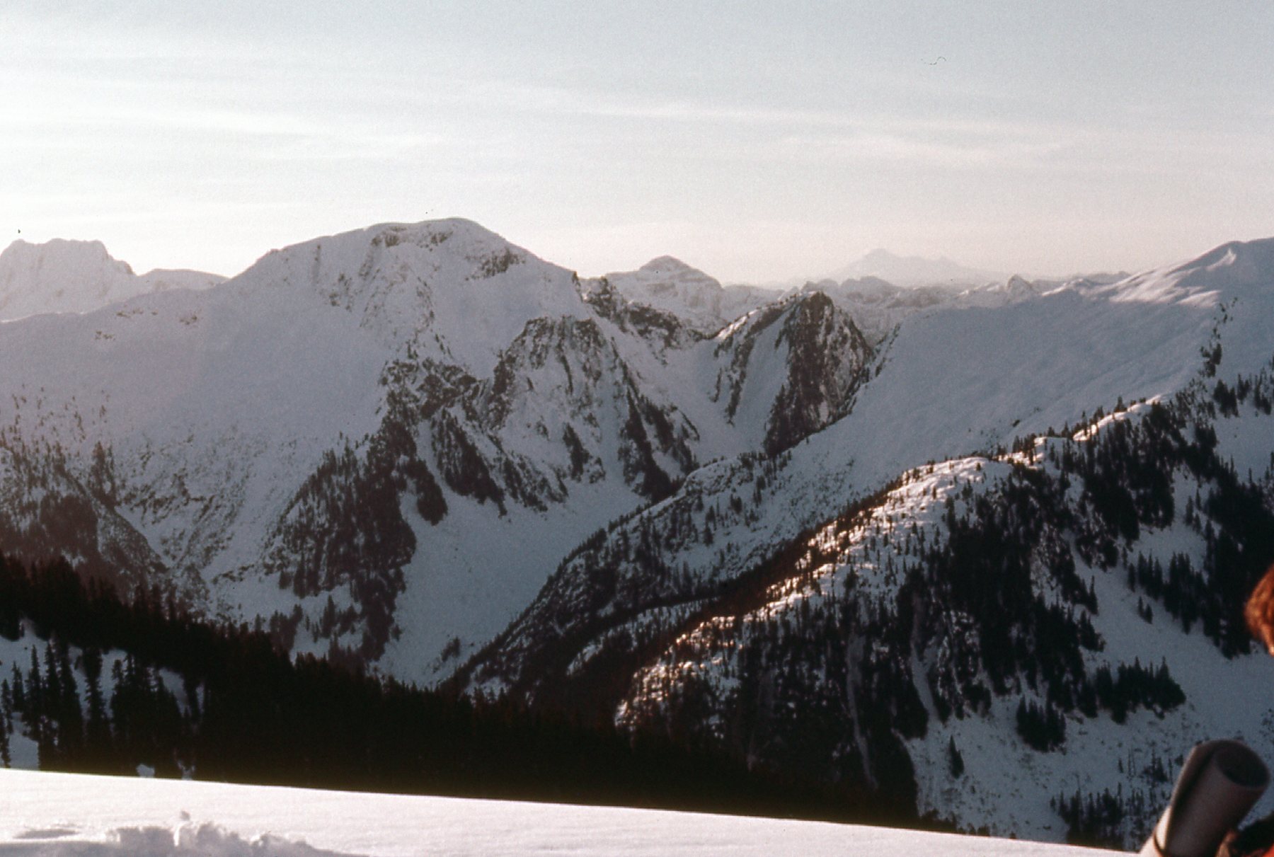
Looking to the southeast, we had this view of Peak 6000, to the left of center.
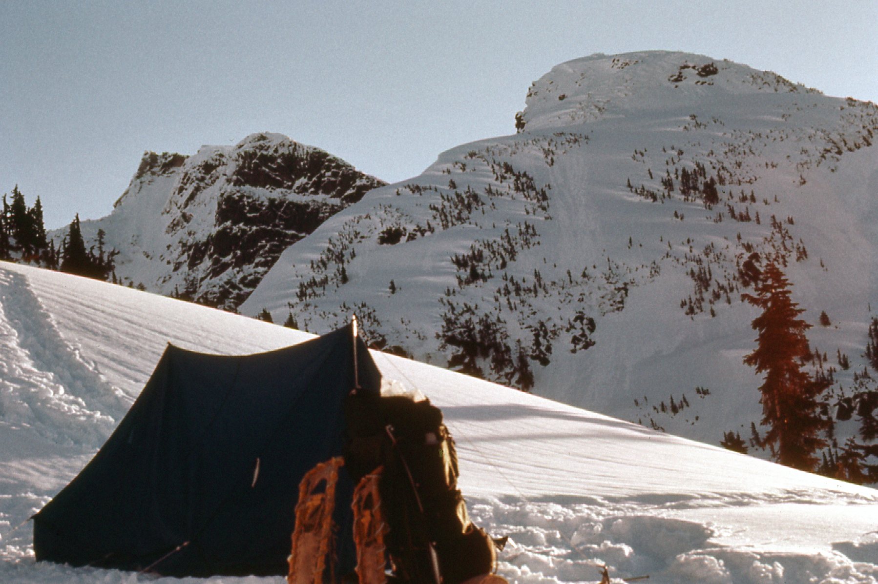
This next photo shows me packing up. In the distance, from left to right, we see Peak 6400, Peak 6600 (Winslow Peak), Peak 5900 (near, above the tree), and on the far right we see the top of Mount Judge Howay in the distance.
Here’s more great scenery visible from camp. We are looking southeast to Peak 6500 and Peak 6400, together in the upper left corner, and Peak 6200, close in on the right.
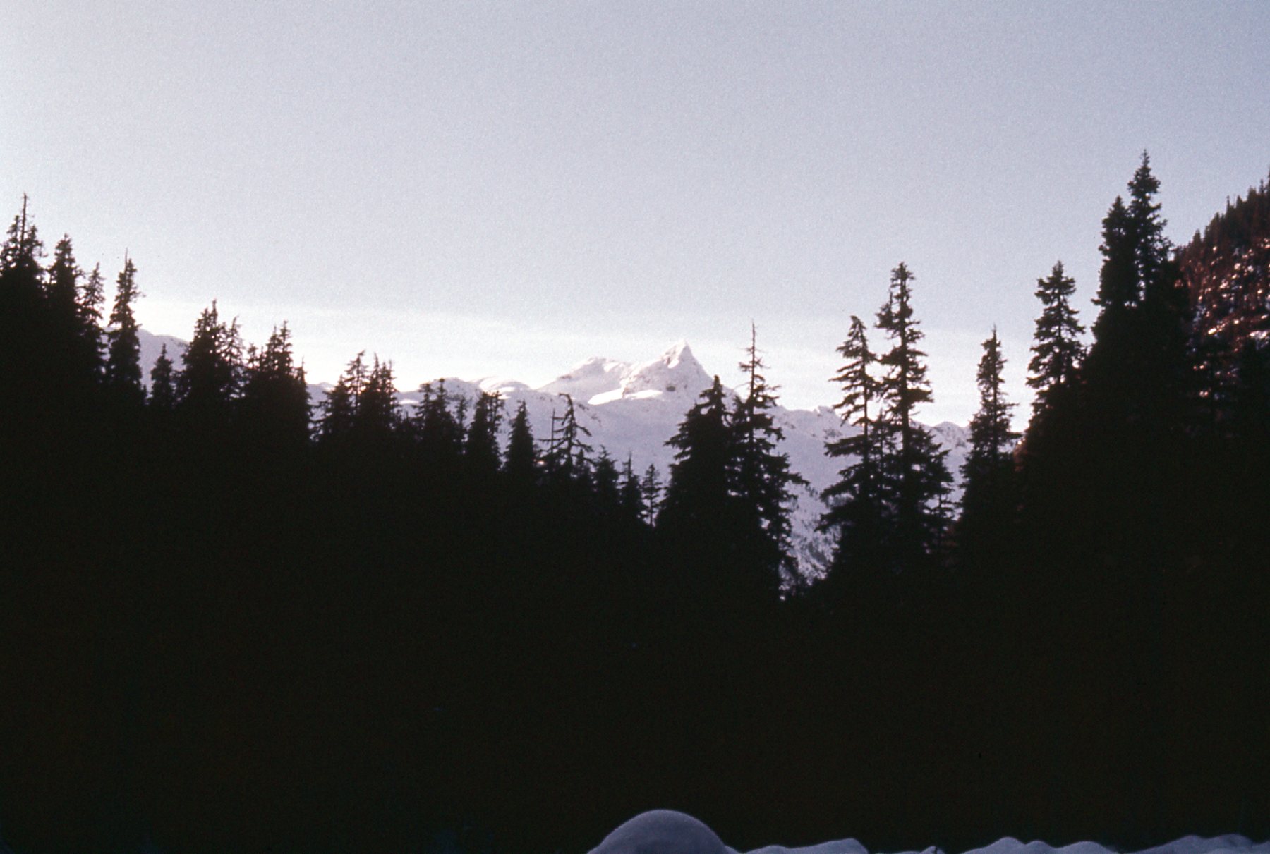
We packed up camp and started down the way we had come in. Our deep snowshoe track from two days before made for a fairly straightforward descent to Tretheway Creek. Here are more photos taken from down in the valley along the creek.
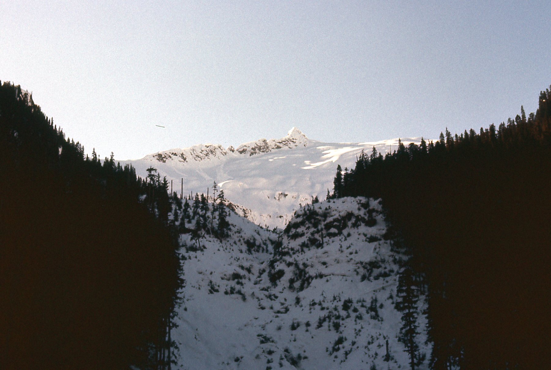
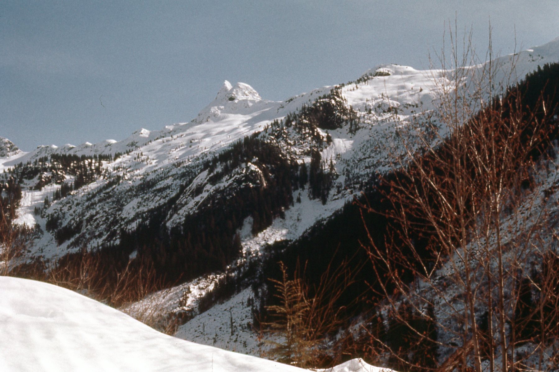
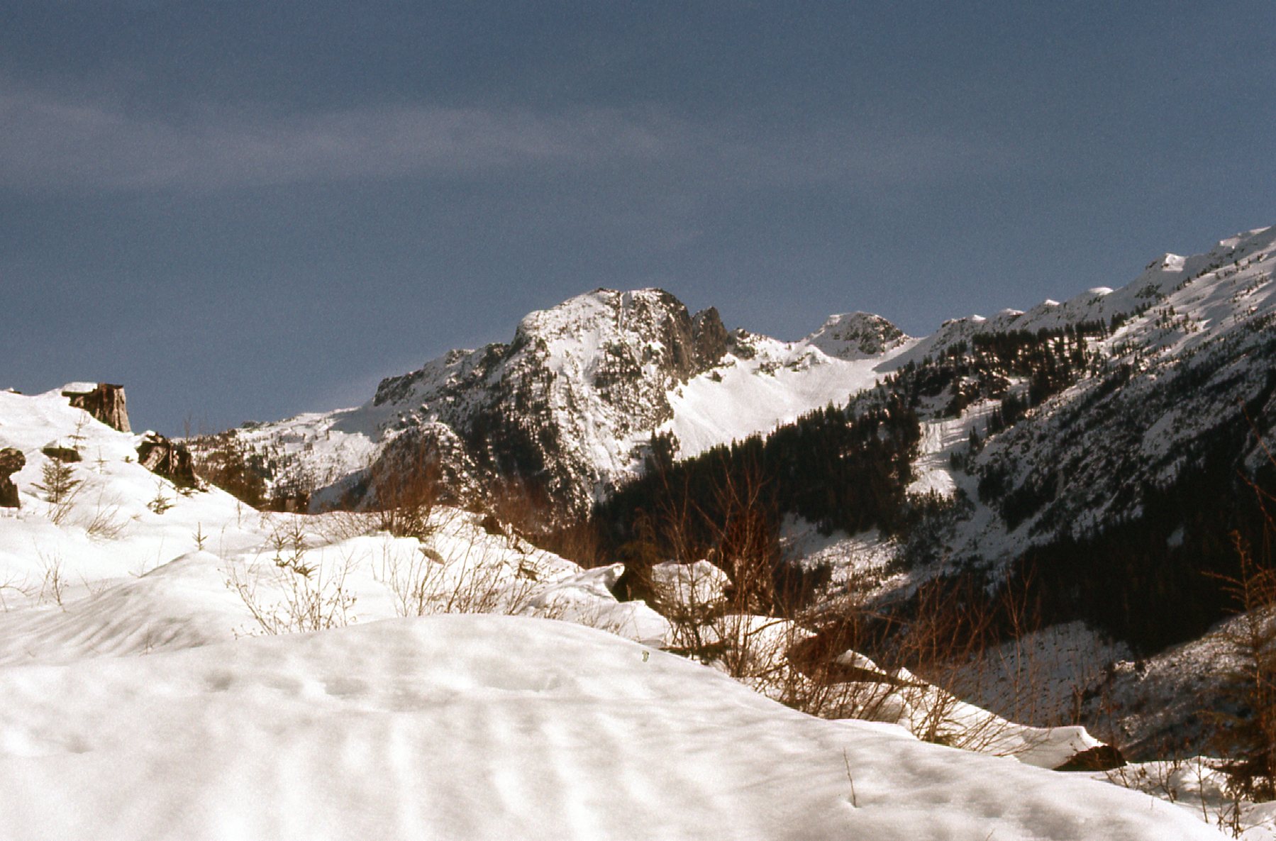
This next one shows the view looking south from Tretheway Creek to the ridge with Peak 5700 (the pointed one) and Peak 5800 (gentle, to right of center).
This next photo is looking east from Tretheway Creek to Peak 5900.
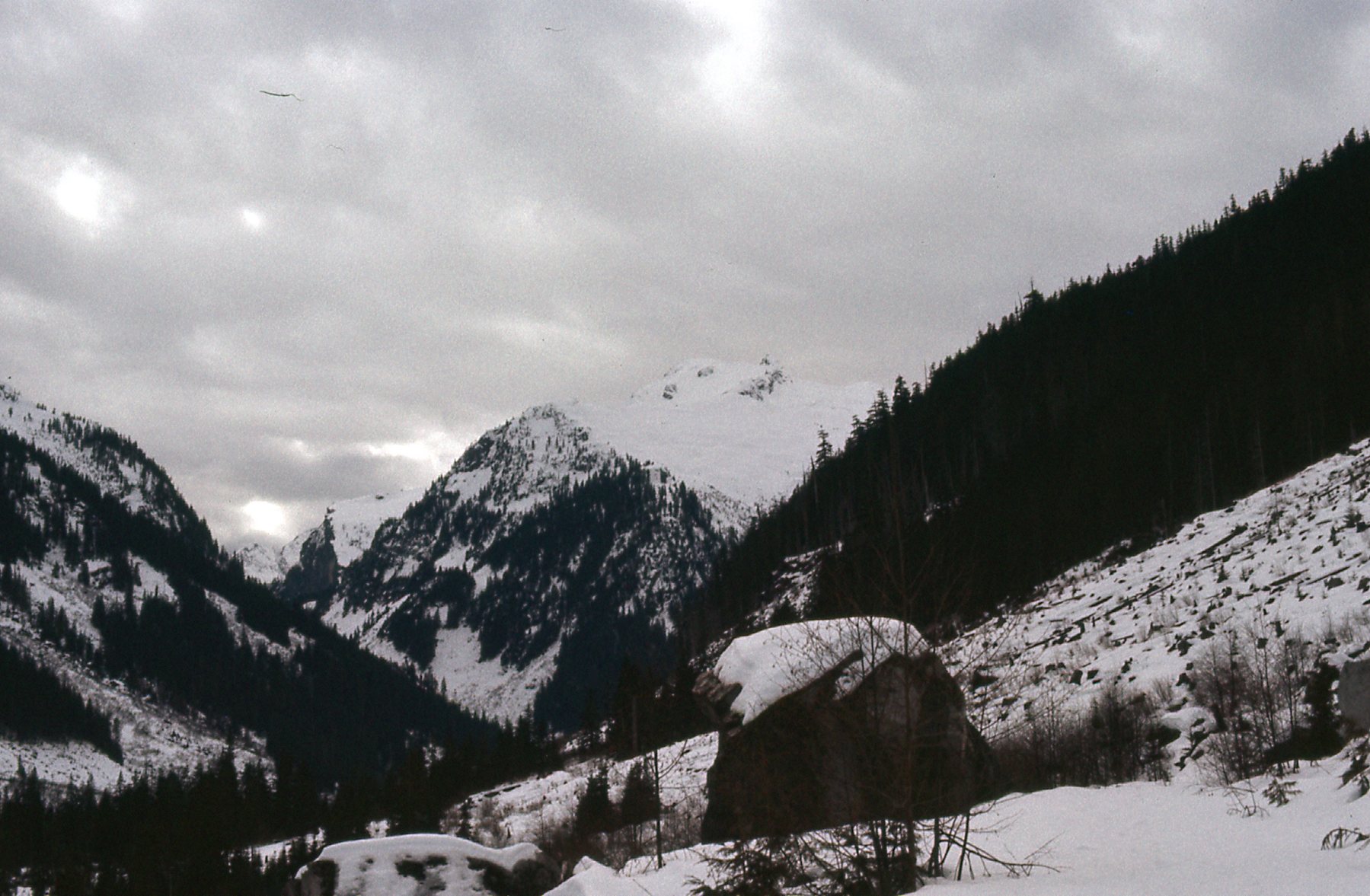
Once again, we followed the creek for two miles until we reached the old logging road, which we then followed all the way down to the Tretheway Creek bridge. At this point, we had walked ten more miles along the road and had dropped to an elevation of 875 feet. Our good weather had held for about 30 hours, and during this 4th day of the trip, it clouded over once again in the afternoon. We camped for the night at the bridge. Here are the last 2 photos I took, later in the day when it had clouded over.
It was cloudy and threatening for the start of day 5. One last time, we packed up our camp and continued down the last few miles of logging road, to arrive at the dock at Five Mile Bay at 10:45 AM. There was nothing to do but wait, so wait we did. Like clockwork, Captain Reid and the Redonda arrived at noon. He was glad to see that we had made it out okay, but probably not as glad as we were to see him. We had a nice warm trip in the cabin of the boat, and a few hours later we arrived at the Riv-Tow dock at the town of Harrison Hot Springs. Our ride was waiting for us.
So now the story is told. Ross and I have spent many hours going over the details so that this account is accurate – hopefully, it will be of some interest to others. Something that seems significant to us is the fact that Robertson Peak was not climbed again until the year 2004, a full 26 years after we did it. And in the interim there were some pretty skilled climbers who tried, but they either gave up or got turned back by harsh conditions. In the 1980s, Bruce Fairley wrote a guide book to climbing in southwestern British Columbia, and in it he said “the winter ascent of Robertson Peak showed determination and originality, and it was one of the better winter climbs made in the last decade.”
I was fortunate enough later that same year (1978) to make 2 solo trips back into the area. On the first of those, I traversed the divide on the east side of Tretheway Creek, climbing everything along the way from north to south, including Coon Peak and Bremner Peak, neither of which had names at the time. On the second trip, I traversed the divide on the west side of the creek, climbing everything along the way from north to south, including Tretheway NE2, Tretheway Peak and Tretheway SW1, none of which had names at the time. Those two trips, as well as the Robertson Peak trip, are written up in the Canadian Alpine Journal from 1979. Many of the peaks shown in the photos in this piece after our descent from Robertson were climbed on those 2 solo trips.
Footnote: I was saddened to hear that Captain Reid passed away on April 18, 2011. Sincerest condolences to his family. He played an important role in my earlier years of climbing in BC, and he will be missed.

