Please be sure to read the previous 3 chapters to this story before starting in on this one.
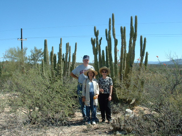
It was the third day of our tour – Monday, March 30th of 2003. After a late and leisurely start, our bus left Caborca where we had spent both nights on our trip. Our driver stopped so we could enjoy some of the scenery in the Sonoran desert.
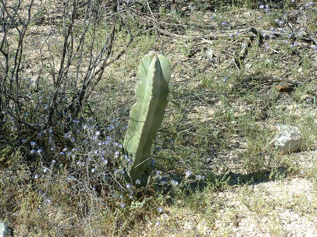
This next cactus does not grow in Arizona, but is common farther south in Sonora – I don’t know what type it is, though.
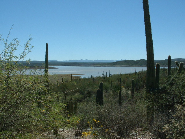
We passed the Cuauhtémoc Reservoir on the Río Altar, created by the Cuauhtémoc Dam just to the west of Tubutama.
Sightseeing was pleasant in late March – it was still cool enough to be enjoyable, but soon it would become too hot to conduct a tour like ours. By the time we arrived at our next destination, in the town of San Ignacio, only 9 kilometers north of the city of Magdalena, it was noon. This is a small place with only 900 people, and it was the site of our next church.
Padre Kino first visited the village of Cabórica on March 14, 1687 and named it San Ignacio. Father Agustín de Campos arrived in the Pimería Alta in 1693, then resided from February 1696 in the mission of San Ignacio. From there he made his trips to the other missions of Guevavi and San Xavier del Bac in what is now Arizona.
The mission was nothing more than a hut in 1695. After Padre Kino’s death in 1711, it was the only active mission church in the area for 20 years. In 1730, the building was described as “dilapidated.” San Ignacio became a language school and the most important mission in the Pimería at that time.
Father Campos’ replacement at San Ignacio was Father Gaspar Stiger. He remained there until his death in 1762 and was succeeded by Francisco Pauer, who was in charge of San Ignacio until the expulsion of the Jesuits in 1767.
Upon the arrival of the Franciscans, Friar Diego Martin de Garcia, who was assigned to San Ignacio, received the temple in Magdalena from Don Antonio de Velasco on July 10, 1768, when the population was 288 people. The building was old and had three altars, and among them there was a painting of Saint Ignatius, an image of the Immaculate Conception, an image of Our Lord and of Saint Anthony of Padua, a sculpture of Our Lady with the child in her arms riding a donkey, a sculpture of Saint Joseph, another of Saint John the Baptist, in addition to the tabernacle and various ornaments. In the sacristy there were also other paintings and other articles used in the liturgy.
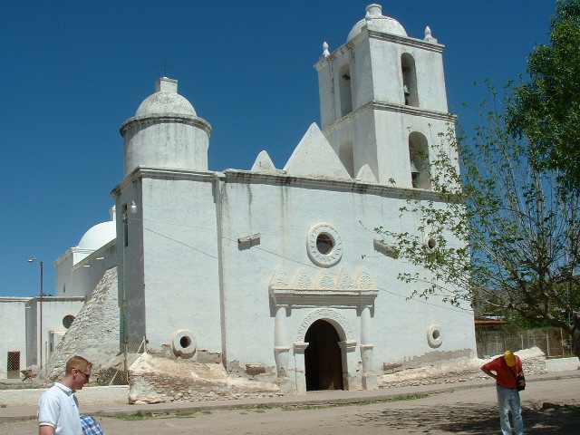
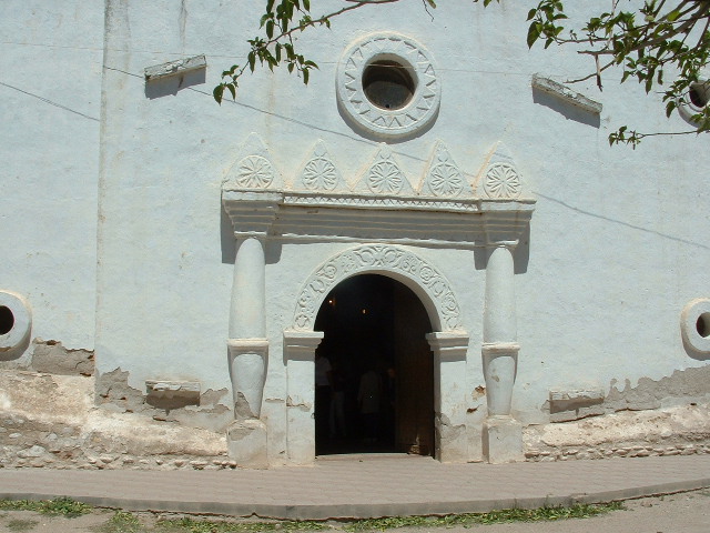
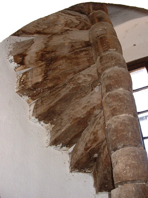
The church is cross-shaped with a proportion of 1 to 5.5. The portal is simple but decorated, facing south, which has two columns supporting a lintel crowned by five stars; the arches have floral motifs that are repeated; the main entrance door is carved, the main altar is in neoclassical style with Ionic capitals, the vestry to the northeast, the baptistery to the southeast in the shape of an oyster shell, a circular staircase carved in wood that goes up to the choir and the roof, a dome over the presbytery. On the outside there are two stone buttresses in the main nave, one on each side preventing collapses.
Bishop Antonio del los Reyes (1729-1789), the first bishop of Sonora, Sinaloa and the Californias, wrote a report on the state of the missions in Upper and Lower Pimería on July 6, 1772. Below is his report on San Ignacio de Cabórica which was translated by Father Kieran McCarty and reads as follows:
The Mission of San Ignacio, with two outlying mission stations, is located on an extensive lowland surrounded by high mountains. A stream runs through these villages and affords easy irrigation for the rich and fertile soils of the same. To the east of this Mission, at a distance of twelve leagues, is the village of Cocóspera from the destroyed Mission Santa Maria de Suamca. To the west, and a little to the south, a distance of five leagues, a few Spaniards and other whites have settled on a ranch or cattle and horse farm. This place is popularly called the town of Santa Ana. There is no church or minister of the Doctrine. To the south, and a little to the east, is the mission of Cucurpe fifteen leagues, and to the north the pagan nations and all the explored territory to the Gila River. The village of San Ignacio is situated on high ground bordered on the north by high mountains. The Indians cultivate their individual fields and communally sow corn, wheat, beans and other crops. The church is decorated inside with three small side chapels. In the sacristy there are four chalices, four candlesticks, a ciborium and a tabernacle lamp, a censer, a monstrance and a baptismal shell, all of silver, vestments of all kinds and colors with other ornaments sufficient for the altar and divine services. The house of the Missionary Father is next to the church, but in the recent year of 1770 some of the rooms and offices next to the Missionary’s house were destroyed. There is an orchard with abundant pomegranates, quinces, peaches, and due to lack of cultivation a good vine was lost.
Some of the words in the previous italicized description are “very Catholic” and might not mean a lot to someone who isn’t familiar with details of that faith, but I’ve included them here for the sake of completeness.

A detail of a beautiful old entry door at the San Ignacio church.
I took quite a few pictures inside the church, and also these of the front.
Here is the front entrance.
These pictures taken inside the church will illustrate many of the details described earlier.
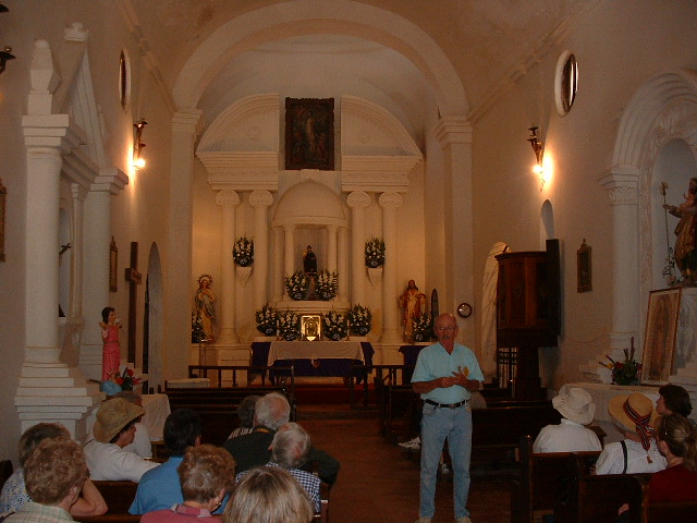
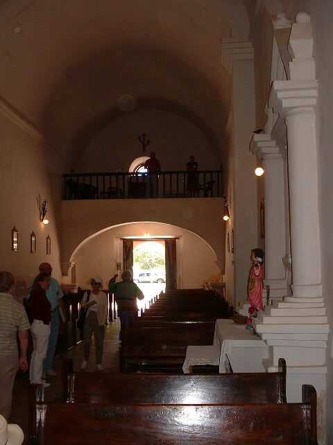
Looking down the long axis of the church. Here, we see one of our guides sharing details of what is to be seen inside the church.
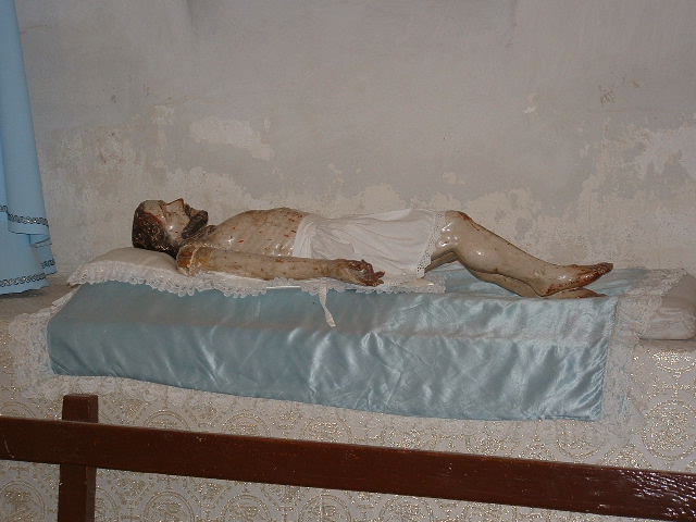
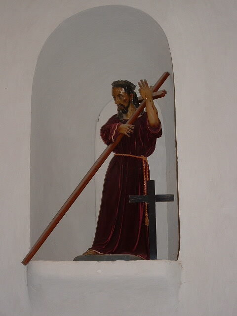
Not sure who this is supposed to be, but I’m guessing it represents the crucified Christ after he was taken down from the cross.
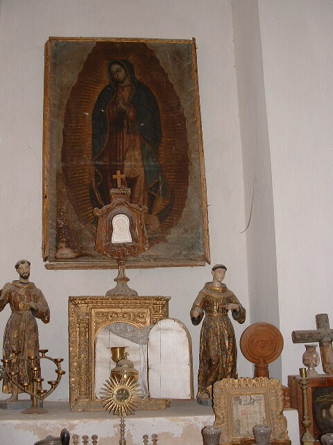
The old paintings would benefit from professional restoration, and there are people in Arizona who do that kind of work – they would bring the colors back to life.
In this photo, we are looking from a point near the altar back towards the front entrance of the church.
At the top of the photo, you can see the round window, shown better here.
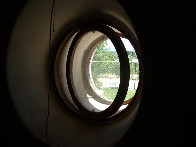
The round window up in the choir loft. This is plainly seen from outside the church when you are standing out front.
And one last view inside, a look at the spiral staircase.
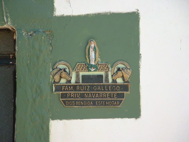
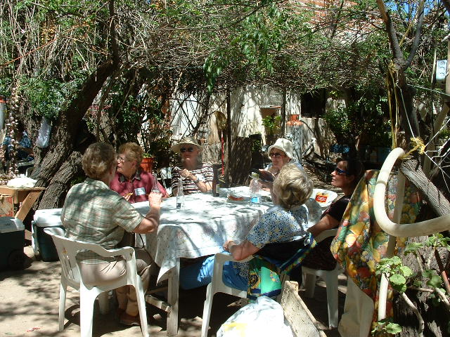
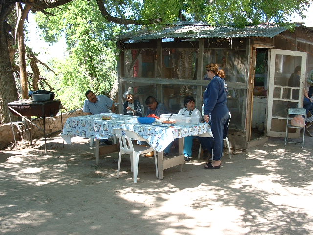
Our time at the San Ignacio church was certainly well-spent, much-enjoyed, but only too brief, considering how much there was to see. We left there at about 12:45 PM, and a short bus ride took us to our final stop. We were at the home of the Gallego family, some miles south of Nogales. They welcomed us into their cool, shaded courtyard where they fed us a hot lunch of delicious Mexican dishes. This plaque adorned their wall.
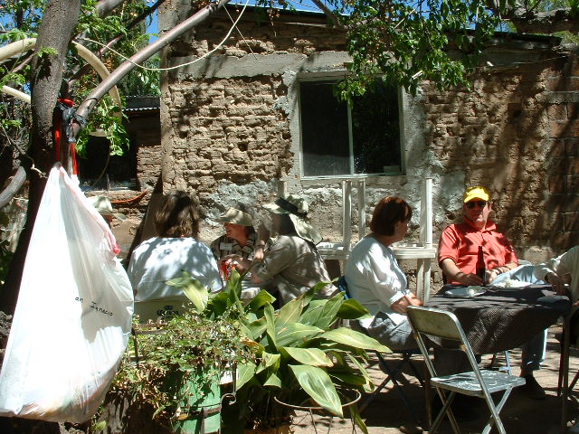
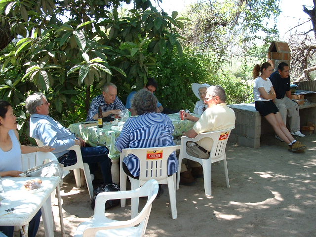
Here, you can see members of our tour group enjoying a relaxing meal.
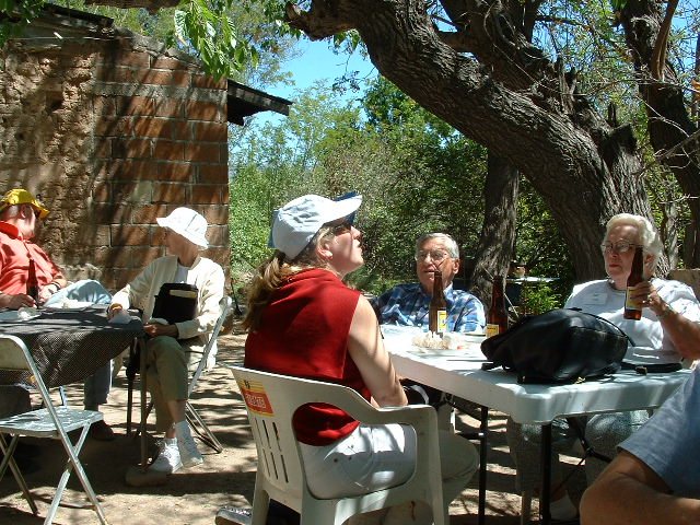
Remember the cooler filled with beer? Well, we made sure to enjoy plenty of it with this, our last meal of the trip. It was mid-afternoon by the time we boarded our bus for the last leg of the trip.
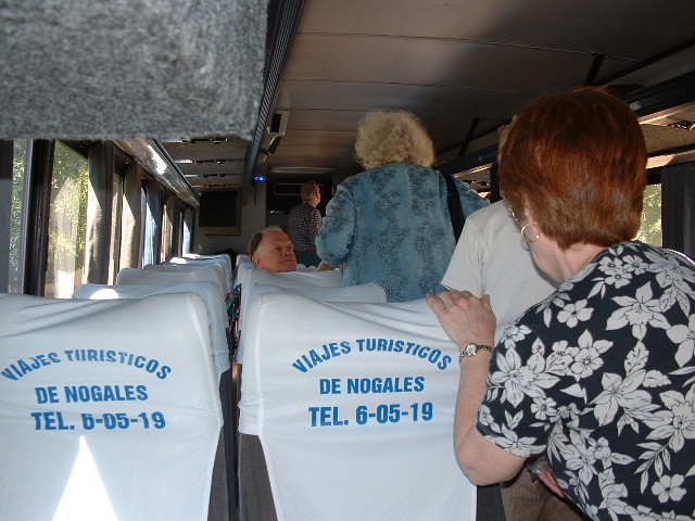
Once again, we switched from our Mexican bus to the Arizona one, which took us at last back to Tucson. It had been an amazing three days – our guides were terrific, our driver was excellent and the history and archeology we had experienced was fascinating.
When the Southwest Mission Research Center cancelled these trips in 2010, the residents of northern Sonora struggled with the chokehold that competing cartels had placed on their towns. Cartel gunmen, armed with weapons smuggled from the U.S., shot it out between themselves or with Mexican law enforcement and military in the Sáric-Tubutama area, about 40 miles south of the border. Taking a busload of tourists into those areas was considered to be too dangerous. In its heyday, there were up to six tours a year, and they went on for 30 years.
Good news, though. Now, in 2024, the tours are going to resume. One is scheduled for October 31 to November 2, to coincide with the Day of the Dead weekend. If you’re interested, call them at 520-621-6278. You’ll have a wonderful time.

