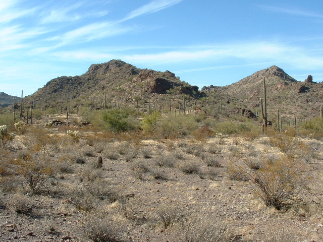
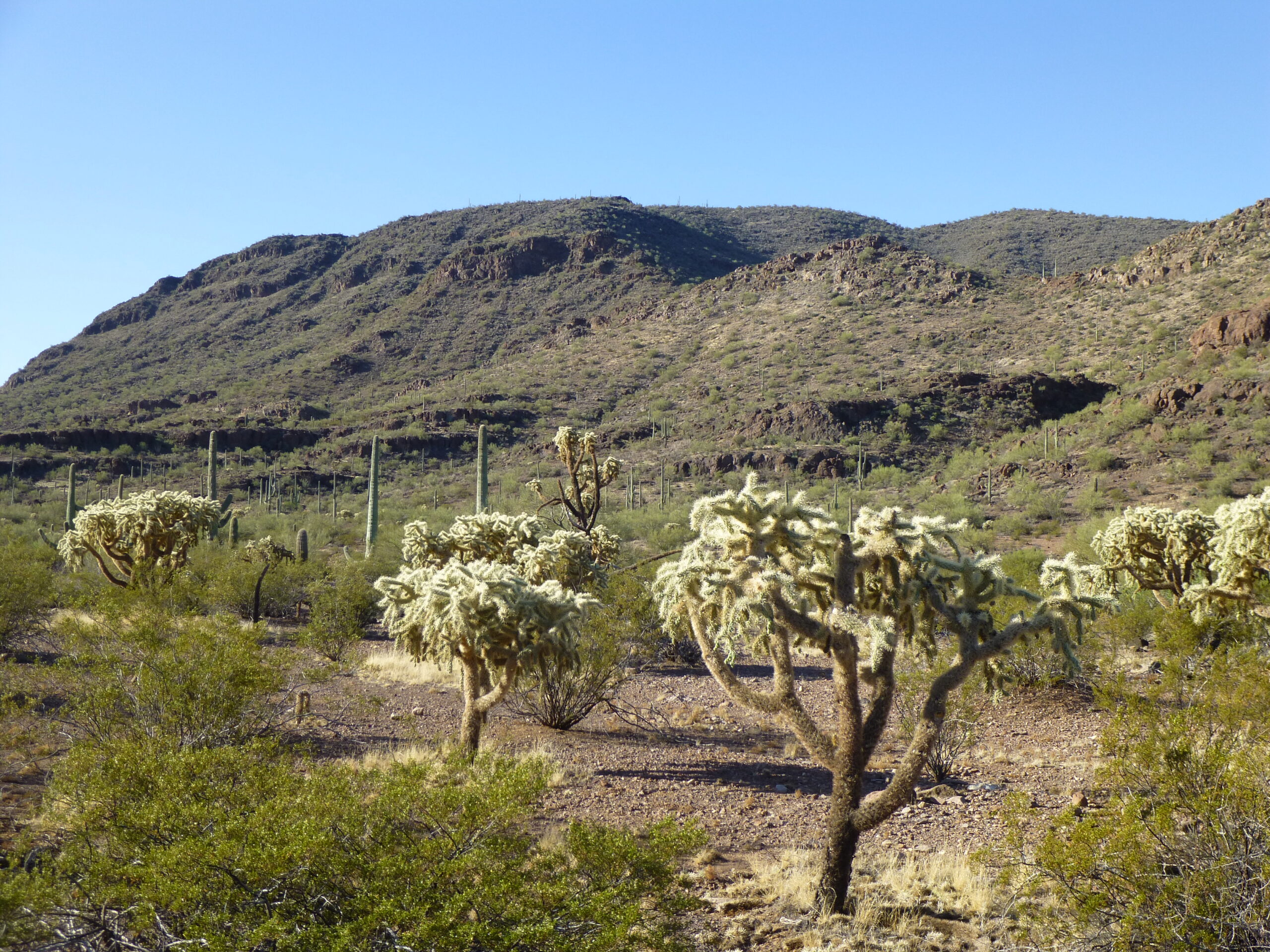
I’m sitting comfortably here in front of the computer, sitting and looking at an area on the map of Arizona. I can’t help but get a warm, fuzzy feeling looking at this part of the state, because I’ve been lucky enough to have visited there a few times. Very lucky indeed, because it is so far off the beaten path that it’s hard to comprehend. It is out beyond the beyondest place you can imagine. It is rugged country and lies deep within the Sauceda Mountains, in an area that is no longer traveled by anyone, literally.
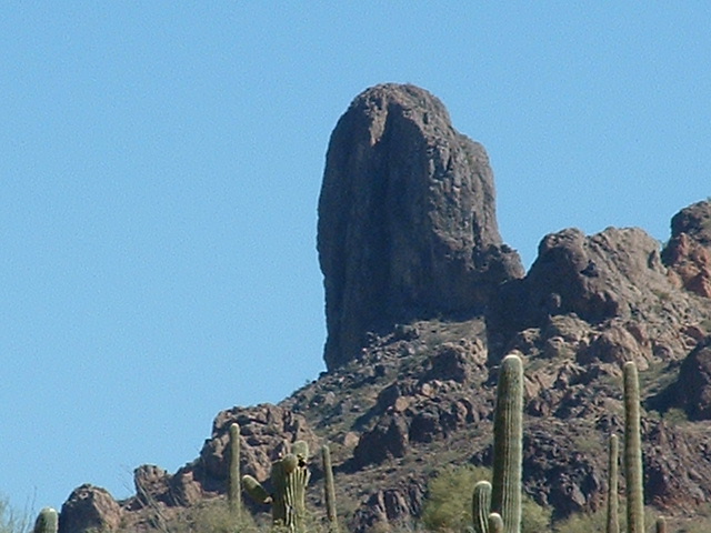
The first time I was ever there was back in 2006 with climber friend Brian Rundle. Only 2 days earlier, we had completed amazing ascents of the Ugly Sister and Peak 2650 (also known as Border Monument 153). Brian had done masterful leads up both of those, and riding a wave of euphoria we then tried to climb a beast of a peak known as Tom Thumb. Old Tom had other ideas, though, and sent us packing.
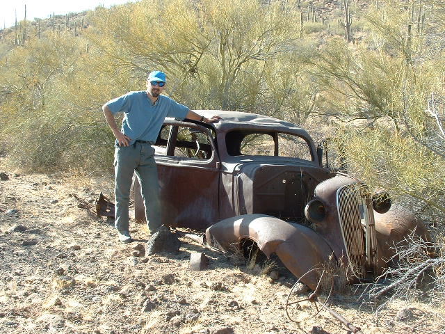
Still having several days at our disposal, I got a wild hair and suggested we drive deeper into the range and see what we could see. I had seen a road on the map that went way out into the middle of nowhere. With no idea of whether it was even still passable, it should prove to be an adventure, at the very least. We set out, past the village of Stoa Pitk, and soon found the start of the road we wanted. It was already afternoon. The first few miles were pretty decent, and took us past a group of old cars sitting there and rusting back into the stuff from which they were made.
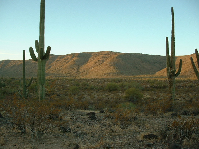
Once past the cars, the road soon deteriorated as we climbed up to a pass. There, at 2,625 feet, we had our first look down into the valley that was the source of Sauceda Wash. It stretched miles and miles to the northwest until it was lost from sight, and the old road followed along the valley bottom. The whole area fairly bristled with unclimbed peaks, as no climbers had ever passed that way before us. It’s worth mentioning here that an encounter I’d had with the Border Patrol had taught me something important. When discussing that very road with them, they said that they hadn’t driven that road for many years – there was no need, as nobody ever went through that valley any more.
We were driving in my old Toyota 4×4 pickup, which would certainly be up to the task of getting us past any difficulties we might encounter along the way. I was pretty excited to see what we’d run into. The first mile and a half went steadily downhill and took us to a spot where the road crossed a drainage coming in from the side. There was also a surveyed benchmark along the road indicating 2,473 feet elevation. In and of itself, that benchmark showed that the road must have had some traffic in the old days and been of some importance. A while later, we crossed over a slight divide and into another branch of Sauceda Wash, and found ourselves at the only sign of any previous human activity, an old corral and a well near Benchmark 2092. This had us at 6.5 miles from the pass. By the time we had driven 8.6 miles from the pass, it was time to find a place to camp for the night. That total distance may not seem like a lot but they were hard-fought miles and it felt good to stop for the day.
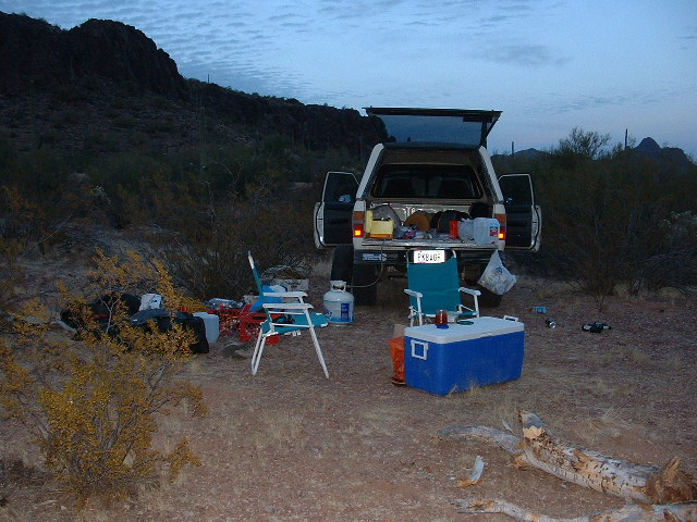
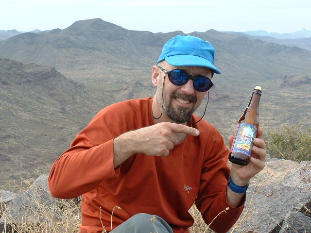
We had a powerful feeling that we were way out there, truly out beyond any works of man. Driving a short distance from the road, we parked in an open spot for the night. It was February, and soon became chilly after we cooked a meal. The Sonoran Desert is filled with dead wood, and we soon had a roaring campfire going. There was no shortage of adult beverages on board, and we freely imbibed. Each of us had brought along some of our favorite tunes, and one of Brian’s was Captain Beefheart. I thought it was odd and somewhat creepy-sounding in the chill night air. Later on, Brian noticed that the right front tire was flat – I said not to worry, we’d change it in the morning. After all, I even had a second spare with us.
We were camped close to the military bombing range, and it was entertaining to notice Air Force jets flying high over us – they had no lights, nor did they make any sound. At intervals, they would drop a series of brilliant orange flares suspended from parachutes, which would burn themselves out long before reaching the ground. Fascinating and mysterious.
Came the dawn, and we made ready to head out and do some climbing. A few miles away to the south sat something called Donkey Benchmark, atop a 7-mile-long mesa.
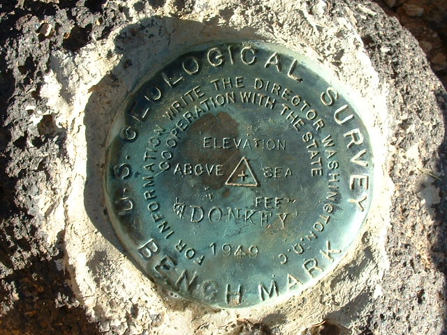
An hour and a half later, we stood at Donkey. It wasn’t hard to find the surveyor’s benchmark.
Here’s a closer look.
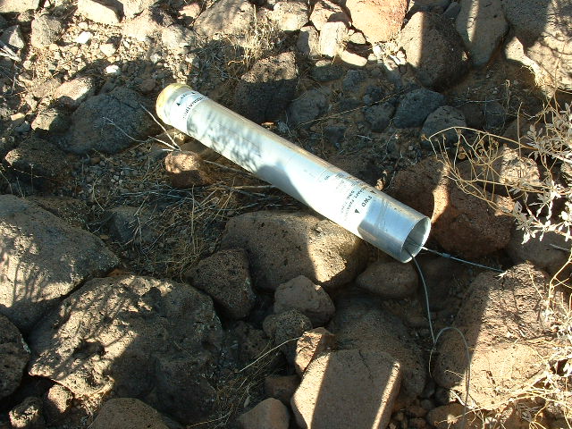
From the mountaintop, we saw something glinting in the sun on the desert below. Since we could walk right past it on the way back to the truck, we did and here’s what we found. It was labeled “Flare, Parachute, Aircraft” and was made by Morton Thiokol. It was just over 6 inches in diameter and about 3 feet long. An aluminum tube, it was filled with what was probably magnesium. This one hadn’t ignited. You can see the wires coming out of the right-hand end of it, which were attached to a nylon parachute. At the other end is a yellow cap, which is the end that is supposed to ignite. It was quite heavy, but we didn’t mess with it (much). I joked with Brian that it would make one helluva souvenir to take back to his home in the Midwest – can you imagine trying to check that as luggage on the plane!
Moving on, we regained the truck and packed up after changing the flat tire. During the night, the wind had blown both of our folding chairs into the fire – all that remained in the morning were the metal frames! It was a funny surprise, but meant less comfort for the rest of the trip. Today would be spent working our way back the way we’d come in yesterday, and our first stop was nearby Peak 2505. It was close to the road and didn’t take much time.
Once finished with that, a short distance east along the road brought us back to the vicinity of the old corral and well. This was a perfect spot to park, to have a look around and to climb our next peaks.
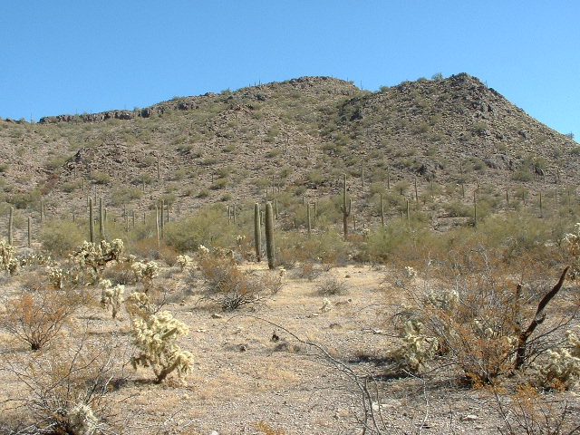
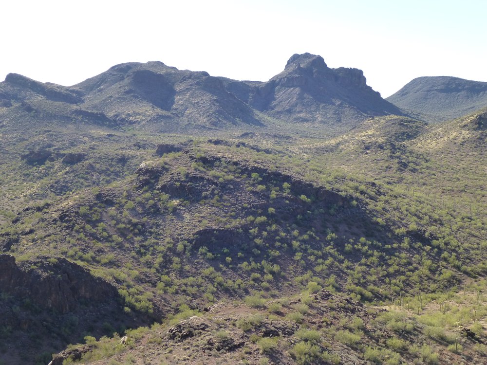
To the south were Peak 2660, which is on the right side in this next photo, and also Peak 2620, which can be seen on the left. We did them together as a loop.
While at the old corral, we thought we’d have a look around. Once upon a time, some hardy soul had lived here. The narrow well was open to the sky and several feet below ground level could be seen water. That wouldn’t help any thirsty animals, though, as they could never get down to it. If you had a bucket on a rope, you might get some. There was one more peak to do that day, A few more miles of driving brought us to a good starting point. Peak 3060 was sitting right next to the road and of easy access. It was an enjoyable climb, and by the time we were done, it was time to relax and set up camp.
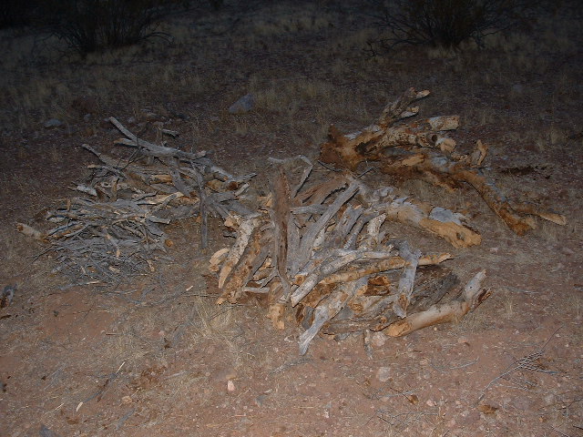
An important part of getting ready for the long evenings was to rustle up a good supply of firewood, with pieces of all sizes. After all, there were adult beverages to be consumed and a fire always helped to pass the hours pleasantly.
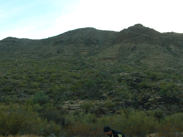
Came another dawn, and we got ready early. This was to be a big day, with the 3 highest peaks in this mysterious valley waiting for us. First on our agenda was Peak 3563, with almost a thousand feet of prominence.
Once back at the truck, our journey resumed – it was a long, steady uphill climb to the southeast back towards the saddle at the head of the valley. Next was another of the valley’s highest peaks, Peak 3395. This too went without a hitch.
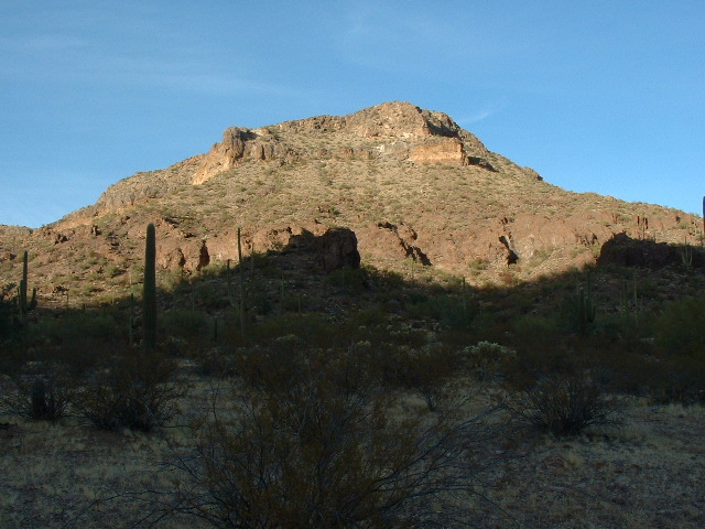
Once 3395 had been done, from pretty much the same parking spot we headed east towards a fine-looking mountain known as Moivavi Benchmark. This was another thousand-foot climb – we found a fun way up it and were pleased to see no trace of a visit by previous climbers. The surveyor’s benchmark from 1936 had stood unmolested for 70 years awaiting our visit. This was our 6th day of climbing on this trip and we had run out of glass jars to use as registers, but we made use of the one thing we had in abundance.
This is a view from the northwest.
Here’s another view of this striking peak.
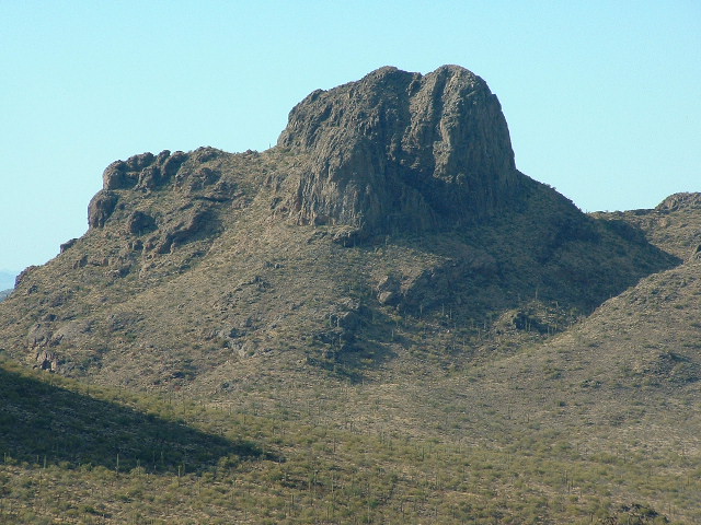
A view looking northwest.
As we sat on the summit thinking back on the past week, we realized that we had climbed everything in this valley that we had come to do. After our descent back down to the truck, we drove back out of this remarkable area and returned to Tucson. It turned out that my time here had not actually come to an end.
Six more years passed. In February of 2012, I returned with 2 other climbers. After another enjoyable ascent of Moivavi Benchmark, we continued on down the valley many miles to the west until the road passed into the military bombing range where we had more adventures.
More years passed – closer map research showed me that I still had work to do at the Moivavi end of the valley. A warm April 17th of the year 2016 found me parking about 2 miles down to the west from the 2,660-foot pass, then heading north on foot for a climb of Peak 2780. That only took a couple of hours, then I did another climb of Peak 3395 on the south side of the valley. Once finished, I found this as I was leaving the area near the pass.
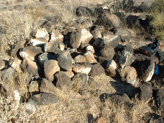
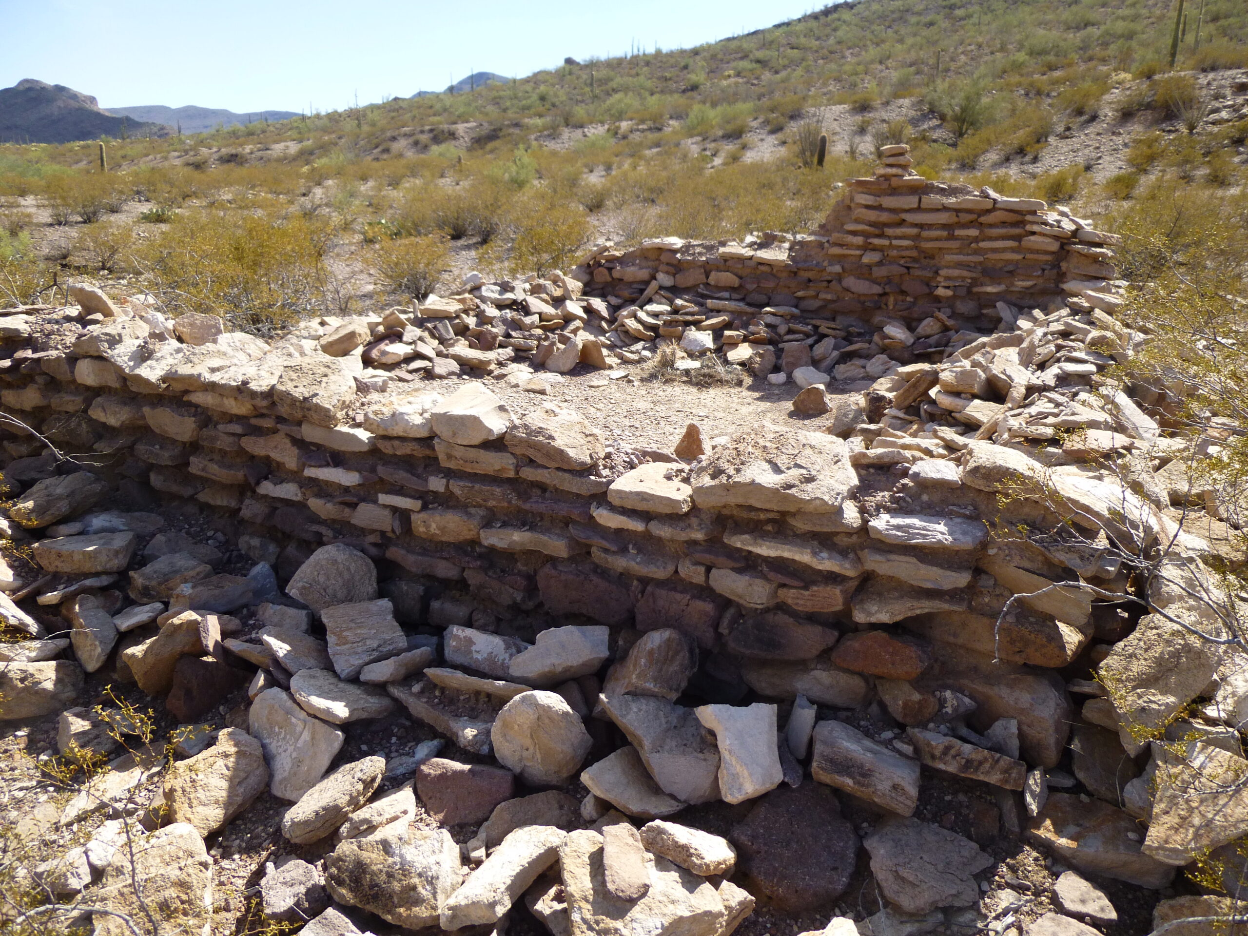
Later the same year, in October, after a while spent sneaking around on the bombing range and climbing a few obscure peaks, I decided to head back and climb one more peak I had overlooked in the past. Sitting right by the old well was Peak 2460. It was a quick climb on a brutally-hot day. There were other things I wanted to discover that day, though. Satellite photos showed me some kind of structure only 400 feet away from the well and corral. It wasn’t hard to find, hard by the road as it was. Someone had stacked stones to create the rude walls of a dwelling.
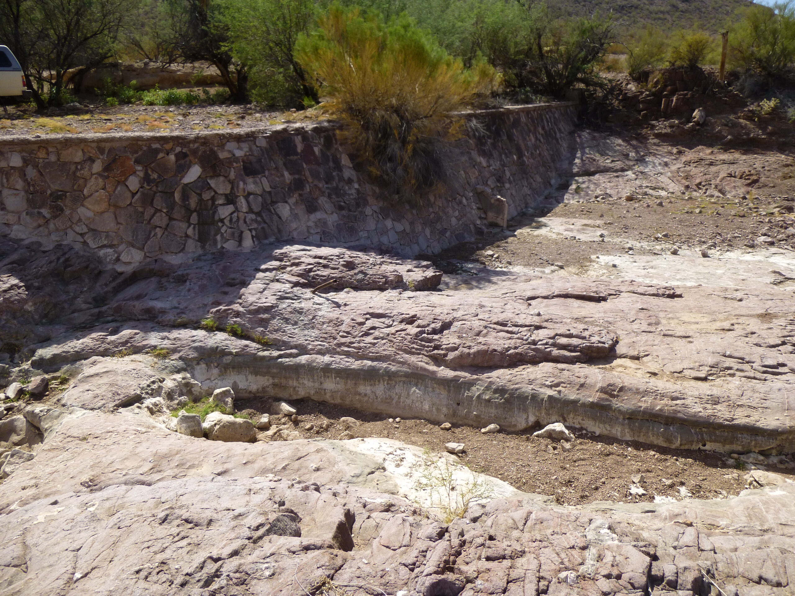
About 2,500 feet downstream along the wash from the old well sat this beautiful wall. Like all such structures I’ve seen out in the desert, as the years go by they get filled with sand. I’m guessing that it had been built to impound water in the rare times when any was running in the wash. Could this have been a CCC (Civilian Conservation Corps) project? These make-work projects were done in Arizona from 1933 to 1942. If so, then it’s possible that whoever lived at the old homestead did so during that time period, just guessing.
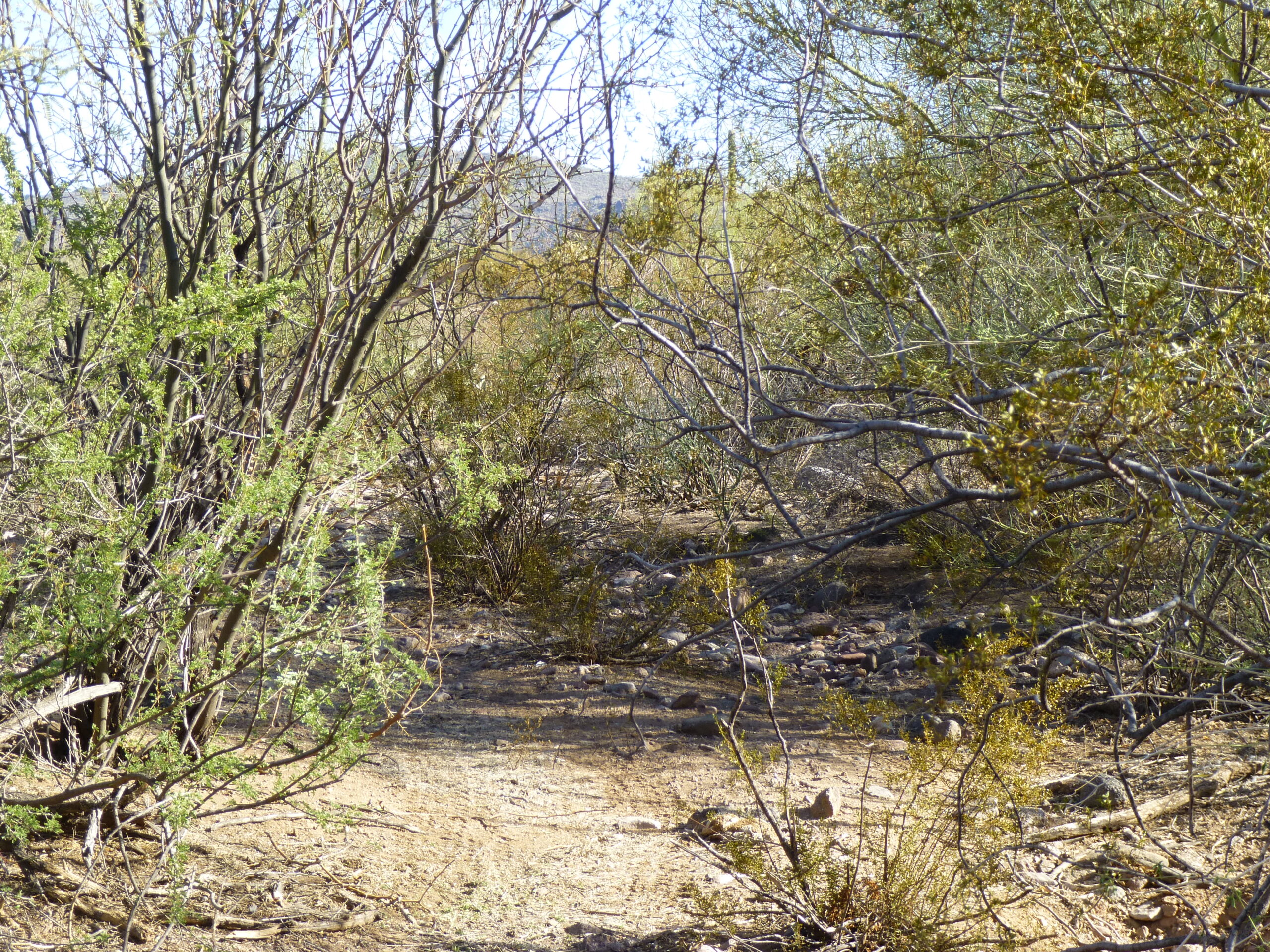
As I write this, it has been almost 7 years since I last drove the old road into the valley. In places, the desert has done much to reclaim it, as nobody drives it any more. Here is what one stretch of it looked on that last trip. There were places where I had to get out of my truck and walk ahead for hundreds of yards to be sure of where it continued.
There were also places where smaller drainages came in from side valleys and had eroded the road deeply. I recall one such spot in the eastern part of the valley – I was barely able to continue, and it’ll only get worse.
Will I ever go back to that wonderful, mysterious valley? No, I don’t think so. I’ve climbed all of its peaks, tall and small, and examined those works of man that can be found there. I still think back fondly on all of its parts, though, happy that I had the chances I did to visit and explore. Who lived there, when and for how long, remains a mystery, and I kind of like it that way.

